The best road cycling routes in Las Trampas Regional Wilderness
4.6
(90)
4,948
riders
125
rides
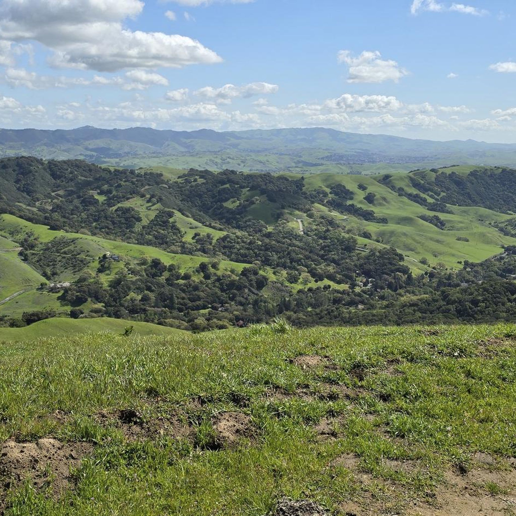
Road cycling routes in Las Trampas Regional Wilderness are characterized by a mix of challenging terrain within the wilderness periphery and more moderate paved paths in the surrounding San Ramon Valley. The region features oak-studded hills, open slopes, and meadows, offering varied landscapes for cyclists. While the core wilderness trails are rugged with steep grades, the area benefits from connecting suburban streets and regional paved trails like the Iron Horse Regional Trail. This infrastructure allows for road cycling routes with…
Last updated: October 25, 2026
3.0
(1)
4
riders
Easy road ride. Mostly well-paved surfaces and easy to ride.
46
riders
76.5km
03:10
470m
470m
Moderate road ride. Good fitness required. Mostly well-paved surfaces and easy to ride.

9
riders
58.8km
02:59
120m
120m
Moderate road ride. Good fitness required. Mostly well-paved surfaces and easy to ride.
5.0
(4)
66
riders
42.6km
01:50
330m
340m
Moderate road ride. Good fitness required. Mostly well-paved surfaces and easy to ride.
5.0
(1)
25
riders
26.3km
01:11
230m
230m
Easy road ride. Mostly well-paved surfaces and easy to ride.
Get access to more routes and recommendations from other explorers.
Already have an account?
Our route recommendations are based on thousands of hikes, rides, and runs completed by other people on komoot.
Start today with a free account
Your next adventure awaits.
Popular around Las Trampas Regional Wilderness
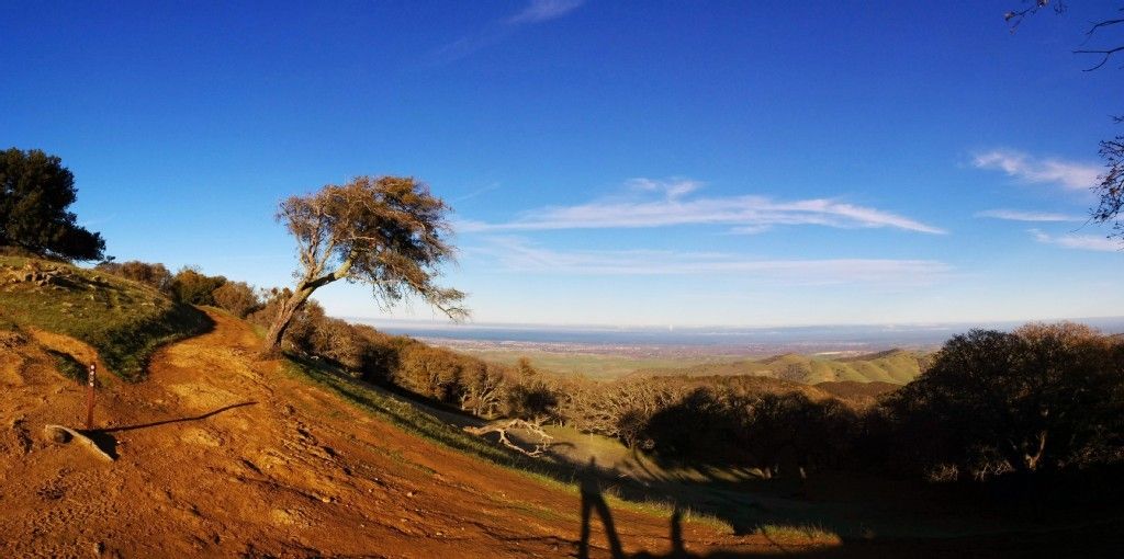
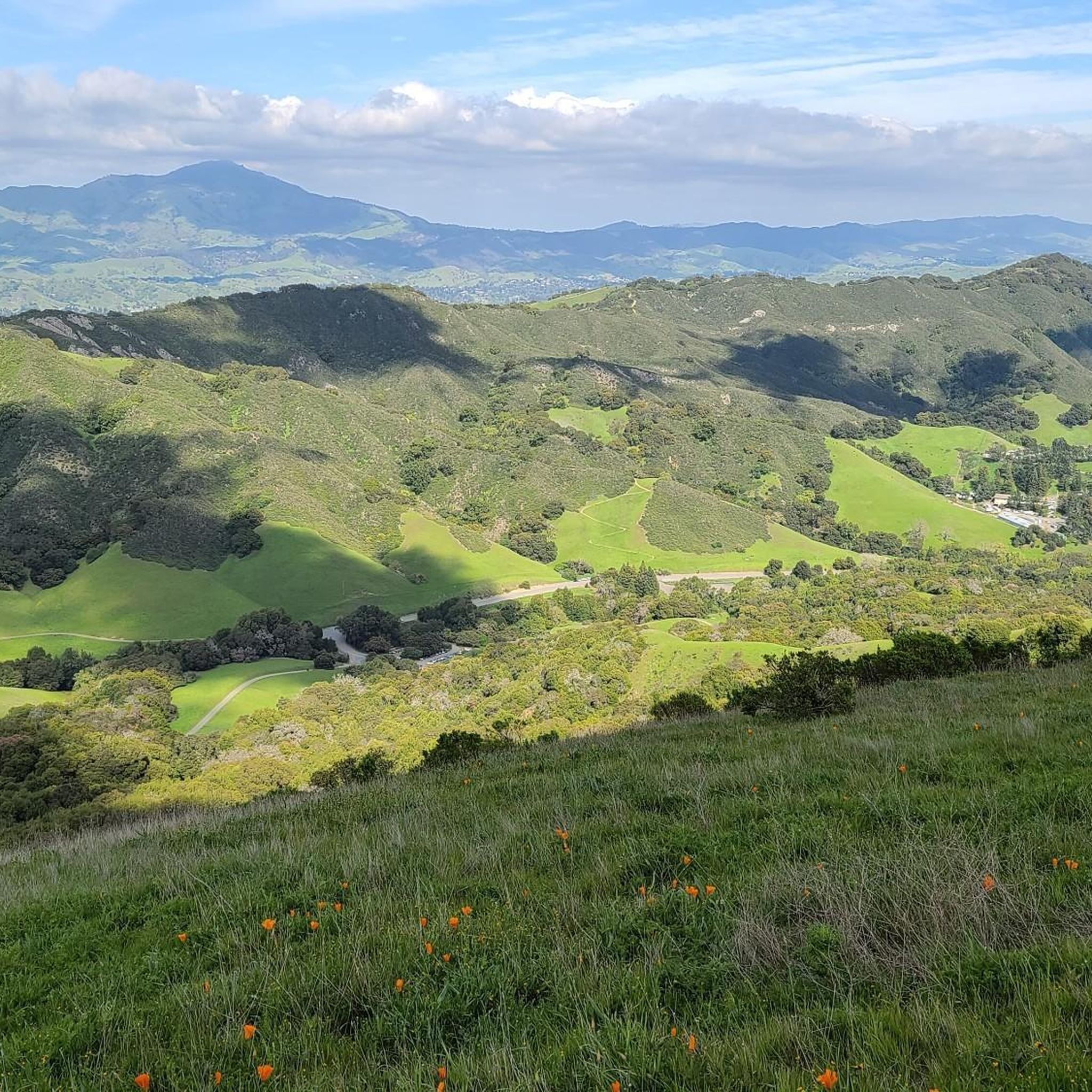
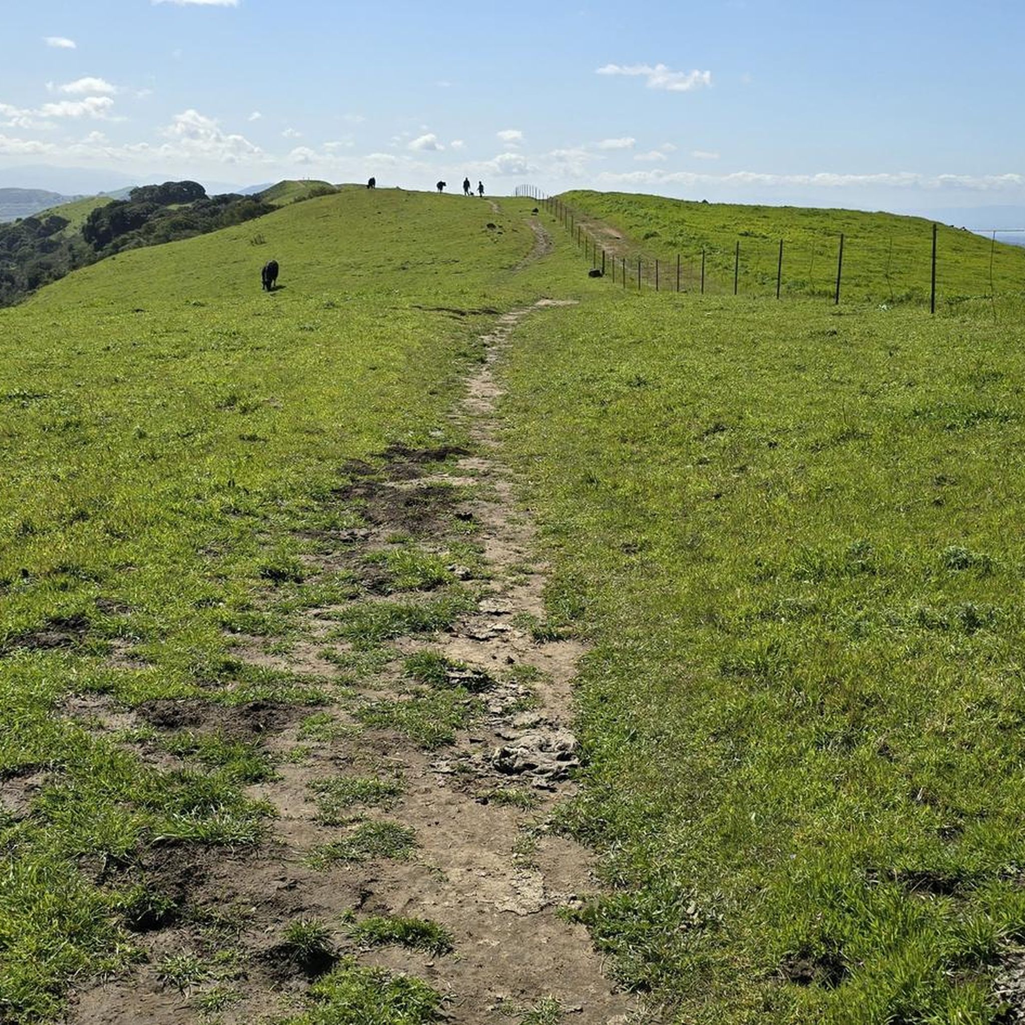

Other adventures in Las Trampas Regional Wilderness

Tips from the Community

The Iron Horse Trail is a 32-mile multi-use path that connects Concord to Pleasanton, following the old route of the Southern Pacific Railroad; established in 1891 and abandoned in 1977. It is a great trail for recreation and commuting routes, connecting residential and commercial areas, schools, parks, and public transit.
0
0

For the Rocky Ridge trail hike, I suggest to have a hat, hiking poles, sun-glasses and of course water. Most of the trail is without any shade. Depends on the season, some portions of the trail could be muddy. Park the car in the parking lot at the end of Bollinger Canyon Road. If parking lot is full you can park along the road. This is the staging area and the start and end of our hike is here. Restrooms are available only at this place. To start the Rocky Ridge Trail, go to the north-west corner of the parking lot (north of the restrooms) and start going up on the paved road. Note that most of the climb is this segment, but afterwards the trail is pretty easy. No shade on Rocky Ridge, some shade on Elderberry.
0
0

Livermore is California's oldest wine region and lies as the easternmost city in the San Francisco Bay Area. This city boasts a historic downtown with shopping, dining, and entertainment.
0
0
Danville is situated in the heart of the San Ramon Valley and has been voted "the safest town in California" for five consecutive years. It offers trendy restaurants, boutiques, and a thriving art scene.
0
0
Established in 1883, Wente Vineyards is the oldest continuously operated, family-owned winery in the United States. Visitors can go to the tasting lounge, where they provide a range of food and wine experiences.
0
0

This trailhead is an excellent staging area centrally located within the Park, making it a great starting or resting point for multiple hike variations. There is plenty of parking, restrooms and drinking water. The Sycamore Trail is closed temporarily due to a landslide, so check the Park's website for updates. The Cuesta Trail is an excellent alternative if you plan to hike the Ridge View Trail loop.
1
0

Restrooms, water, and shade. Good starting or rest point, near the middle of the park, almost all trails lead down to this area.
0
0
Frequently Asked Questions
How many road cycling routes are available in Las Trampas Regional Wilderness?
There are over 120 road cycling routes available in and around Las Trampas Regional Wilderness on komoot, offering a wide range of options for different skill levels and preferences. You'll find routes from easy to difficult, with the majority being moderate.
What is the typical terrain and difficulty for road cycling in Las Trampas Regional Wilderness?
Road cycling in Las Trampas Regional Wilderness offers a mix of experiences. While the core wilderness trails are rugged and feature steep grades, often exceeding 20%, road cyclists typically utilize paved suburban streets and regional multi-use paths like the Iron Horse Regional Trail Loop. This allows for routes with substantial elevation gains, providing a rewarding challenge, especially on the periphery of the wilderness area.
Are there road cycling routes suitable for beginners in Las Trampas Regional Wilderness?
Yes, there are routes suitable for beginners, particularly those utilizing the paved Iron Horse Regional Trail. This multi-use path connects several towns and offers a moderate, consistent surface with less extreme elevation changes, making it a good option for those new to road cycling or looking for a more relaxed ride. Approximately 52 easy routes are available on komoot.
Are there challenging road cycling routes for experienced cyclists in the area?
Absolutely. Experienced cyclists will find challenging routes that incorporate the periphery of Las Trampas Regional Wilderness, often involving substantial elevation gains on paved roads like Bollinger Canyon Road. Routes such as the Museum of the San Ramon Valley – Iron Horse Trail loop from Danville, which covers over 70 miles and features significant climbing, are ideal for those seeking a demanding ride. Komoot lists 14 difficult routes in the region.
What kind of elevation gain can I expect on road cycling routes here?
Elevation gain varies significantly depending on the route. While flatter options exist on paths like the Iron Horse Trail (e.g., Iron Horse Regional Trail Loop with around 119m gain), many routes that venture closer to the wilderness area feature substantial climbs. For example, the Lamorinda Trail Loop – Lafayette loop from Land Bank includes over 875m of elevation gain, offering a significant workout.
What natural features and viewpoints can I expect to see while road cycling?
While road cycling, you'll often be treated to scenic vistas of oak-studded hills, open slopes, and meadows. From various points, you can enjoy sweeping views of the San Ramon Valley, the East Bay hills, and even Mount Diablo. Notable viewpoints include Las Trampas Ridge and the View from Las Trampas Peak. Keep an eye out for diverse wildlife such as red-tailed hawks, turkey vultures, and deer.
Are there any specific landmarks or attractions near the road cycling routes?
Yes, beyond the natural beauty, you can find interesting landmarks. The Las Trampas Ridge itself is a prominent feature. For those interested in history, the Eugene O'Neill National Historic Site is a unique attraction nearby, preserving the home and studio of the famous playwright. For more information on the area's attractions, you can visit visittrivalley.com.
What is the best time of year to go road cycling in Las Trampas Regional Wilderness?
Spring is particularly beautiful for road cycling in Las Trampas Regional Wilderness, as the hillsides transform into a 'sea of color' with abundant wildflowers. The weather is generally mild, making for pleasant riding conditions. Fall also offers comfortable temperatures and clear skies. Summers can be hot, so early morning rides are recommended, while winters can bring rain.
Are there any loop trails for road cycling in the area?
Yes, many of the road cycling routes in and around Las Trampas Regional Wilderness are designed as loops, allowing you to start and finish at the same point. Examples include the popular Livermore loop and the Iron Horse Regional Trail Loop, which offer varied distances and challenges.
What do other road cyclists enjoy most about road cycling in Las Trampas Regional Wilderness?
The area is highly rated by the komoot community, with an average score of 4.5 stars from over 60 reviews. Road cyclists often praise the varied landscapes, from oak-studded hills to open meadows, and the rewarding challenge of routes with significant elevation gain. The well-maintained paved paths, especially the Iron Horse Trail, are also frequently highlighted for their consistent surface and scenic views.
Are there any family-friendly paved bike trails in the region?
Yes, the Iron Horse Regional Trail is an excellent option for family-friendly paved bike rides. It's a multi-use path that connects several towns, offering a relatively flat and consistent surface away from vehicle traffic, making it safe and enjoyable for cyclists of all ages and skill levels.
Where can I find parking for road cycling routes in Las Trampas Regional Wilderness?
Parking is generally available at various trailheads and public access points around the periphery of Las Trampas Regional Wilderness, especially in the surrounding towns like Danville and San Ramon. Many routes, such as the Iron Horse Trail loop from Land Bank, often start from locations with designated parking facilities.
Are there cafes or amenities near the road cycling routes?
Yes, as many road cycling routes utilize suburban streets and connect through towns like Danville and San Ramon, you'll find numerous cafes, restaurants, and other amenities conveniently located along or near the routes. These towns offer great spots for a coffee break or a meal before or after your ride.
Most popular routes in Las Trampas Regional Wilderness
Most popular attractions in Las Trampas Regional Wilderness

Get inspired with the komoot mobile app


Explore more
Browse the best Road cycling routes in other regions.
