The best road cycling routes in Tassajara Creek Regional Park
4.7
(57)
3,003
riders
105
rides
Road cycling in Tassajara Creek Regional Park offers access to extensive regional trail networks, characterized by mostly well-paved surfaces and greenbelt paths. The terrain features rolling hills and open spaces, with Tassajara Creek as a prominent natural element. This connectivity allows for varied road cycling experiences, from easy rides to routes with notable elevation gains, linking to wider regional trail systems.
Best road cycling routes in Tassajara Creek Regional Park
- The most popular road cycling route is Golf Ball Protection Tunnel – Iron Horse Trail loop from Proud Country, a 17.6 miles (28.3 km) trail that takes 1 hour 12 minutes to complete. This easy route connects to the Iron Horse Trail, offering a smooth ride through the regional network.
- Another top favourite among local road cyclists is Roadbike loop from Fallon Gateway, an easy 14.9 miles (24.0 km) path. This route provides a pleasant ride through the park's greenbelt, suitable for various fitness levels.
- Local road cyclists also love the Danville – Iron Horse Trail loop from Tassajara Creek Regional Park, a 34.6 miles (55.7 km) trail leading through the wider East Bay Regional Trail network, often completed in about 2 hours 22 minutes.
- Road cycling in Tassajara Creek Regional Park is defined by rolling hills, open spaces, and well-maintained paved greenbelt paths. The network offers options for different ability levels, from easy loops to moderate routes with notable elevation gains.
- The routes in Tassajara Creek Regional Park are highly rated by the komoot community with an average score of 4.7 stars from over 40 reviews. More than 3000 road cyclists have used komoot to explore Tassajara Creek Regional Park's varied terrain.
Last updated: October 26, 2026
8
riders
Moderate road ride. Good fitness required. Mostly well-paved surfaces and easy to ride.
6
riders
20.7km
01:03
80m
80m
Easy road ride. Mostly well-paved surfaces and easy to ride.

41
riders
Moderate road ride. Good fitness required. Mostly well-paved surfaces and easy to ride.
7
riders
42.6km
02:00
310m
310m
Moderate road ride. Good fitness required. Some segments of this route may be unpaved and difficult to ride.
39
riders
41.6km
01:51
380m
380m
Moderate road ride. Good fitness required. Mostly well-paved surfaces and easy to ride.
Get access to more routes and recommendations from other explorers.
Already have an account?
Our route recommendations are based on thousands of hikes, rides, and runs completed by other people on komoot.
Start today with a free account
Your next adventure awaits.



Tips from the Community

The Del Amigo Swim Club, officially known as the Del Amigo Pool Association, is a member-owned, nonprofit community pool that features two pools. The pool closes every year from mid‑September to March for major renovation.
0
0
The Museum of the San Ramon Valley was established in 1985 and sits in a restored 1891 Southern Pacific Railroad Depot with the Victorian-era “Combination Station No. 22” listed on the National Register of Historic Places. The Official Visitor Information Center offers maps, guides, and knowledgeable staff, along with free parking and restrooms located in the caboose.
1
0

Danville is situated in the heart of the San Ramon Valley and has been voted "the safest town in California" for five consecutive years. It offers trendy restaurants, boutiques, and a thriving art scene.
0
0
This museum collects, stores, and preserves artifacts from the San Ramon Valley while providing a permanent exhibit of the valley's past. Additionally, the museum offers local maps, guides, and a public restroom.
0
0

The Arroyo Mocho Trail is a popular walking, running and biking trail that runs through Livermore. It is mostly paved, but has a couple of gravel sections. The trail links up with some of the other trails in the area.
0
0

Ascending through a challenging uphill climb, this trail takes you through a lush scenic open space, passing by the Black Hills Reservoir. It serves as a great stopping point for enjoying the scenic water views along your ride.
0
0
Ascending through a challenging uphill climb, this trail takes you through a lush scenic open space, passing by the Black Hills Reservoir. It serves as a great stopping point for enjoying the scenic water views along your ride.
0
0

Paved trail separated from the road, on the northeast side.
0
0
Frequently Asked Questions
What kind of terrain can I expect on road cycling routes in Tassajara Creek Regional Park?
Road cycling routes in Tassajara Creek Regional Park feature mostly well-paved surfaces. You'll encounter a mix of paved greenbelt paths and unpaved trails that wind through picturesque rolling hills and open spaces. The area offers varied experiences, from relatively flat sections to routes with significant elevation gains.
Are there road cycling routes suitable for beginners or families with children?
Yes, Tassajara Creek Regional Park offers several easy road cycling routes perfect for beginners or families. For instance, the Roadbike loop from Tassajara Creek Regional Park is an easy 12.9-mile path that provides a pleasant ride through the park's greenbelt, suitable for various fitness levels. The park's accessible nature, including shaded creek-side paths, makes it a friendly spot for young children.
How many road cycling routes are available in Tassajara Creek Regional Park?
There are over 100 road cycling routes available in Tassajara Creek Regional Park, catering to a wide range of abilities. This includes 44 easy routes, 44 moderate routes, and 13 more challenging options.
What are some notable natural features or landmarks I might see while cycling?
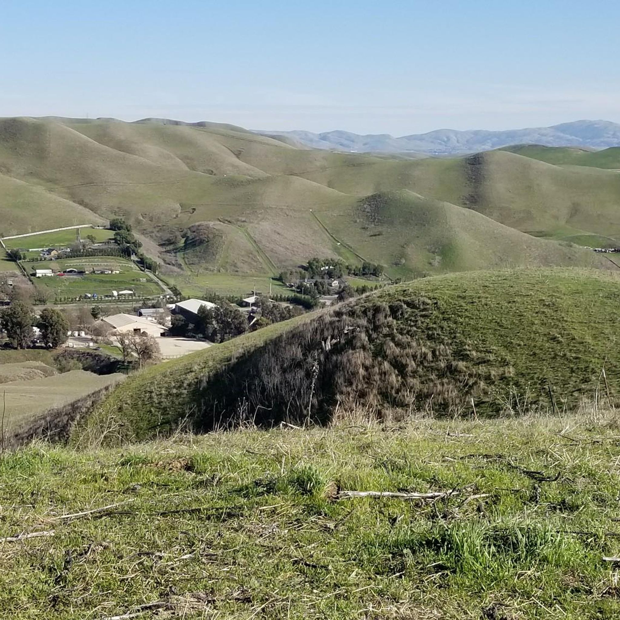
While cycling, you'll experience rolling hills and open spaces offering expansive views. The central Tassajara Creek is a prominent natural feature, with restored corridors featuring native plant species and mature oak trees. In spring, you might even spot daffodils along the paths.
Can I connect to other regional trail networks from Tassajara Creek Regional Park?
Absolutely. Tassajara Creek Regional Park serves as a significant hub, connecting to the extensive 300-mile East Bay Regional Trail network. A popular option is the Iron Horse Trail, accessible via routes like the Golf Ball Protection Tunnel – Iron Horse Trail loop from Proud Country or the Danville – Iron Horse Trail loop from Tassajara Creek Regional Park.
What do other road cyclists say about the routes in Tassajara Creek Regional Park?
The road cycling routes in Tassajara Creek Regional Park are highly rated by the komoot community, with an average score of 4.7 stars from over 40 reviews. Cyclists often praise the well-maintained paved greenbelt paths, the variety of routes for different skill levels, and the scenic rolling hills.
Are there any challenging road cycling routes for experienced riders?
Yes, for experienced riders seeking a challenge, there are 13 difficult road cycling routes available in the park. These routes typically feature more significant elevation gains and longer distances, providing a good workout amidst the scenic landscape.
Is there public transport access to Tassajara Creek Regional Park for cyclists?
The park's connectivity within the Dublin neighborhood and its role as a staging facility suggest potential access via local public transportation, though specific routes would need to be checked with local transit authorities for current schedules and bike-on-bus policies.
Are there any cafes or amenities nearby for a post-ride break?
While the park itself is focused on natural recreation, its location within a Dublin neighborhood and connections to areas like Danville and Livermore mean that cafes, pubs, and other amenities are generally accessible within a short cycling distance from various points of entry or exit from the park's trail network.
What is the best time of year to go road cycling in Tassajara Creek Regional Park?
The park's diverse terrain and well-maintained paths make it suitable for cycling year-round. However, spring and fall often offer the most pleasant temperatures for longer rides. Summer can be warm, while winter might bring cooler, potentially wetter conditions, though the paved paths remain accessible.
Are there any specific rules or permits required for road cycling in the park?
Tassajara Creek Regional Park is part of the East Bay Regional Park District. Generally, standard park rules apply to cycling, focusing on trail etiquette and safety. Specific permits are not typically required for general cycling on designated paths, but it's always good practice to check the East Bay Regional Park District's official guidelines for any updates or specific regulations.
Most popular routes in Tassajara Creek Regional Park

Get inspired with the komoot mobile app


Explore more
Browse the best Road cycling routes in other regions.
