The best running trails in Mount Diablo State Park
4.5
(2)
625
runners
12
runs
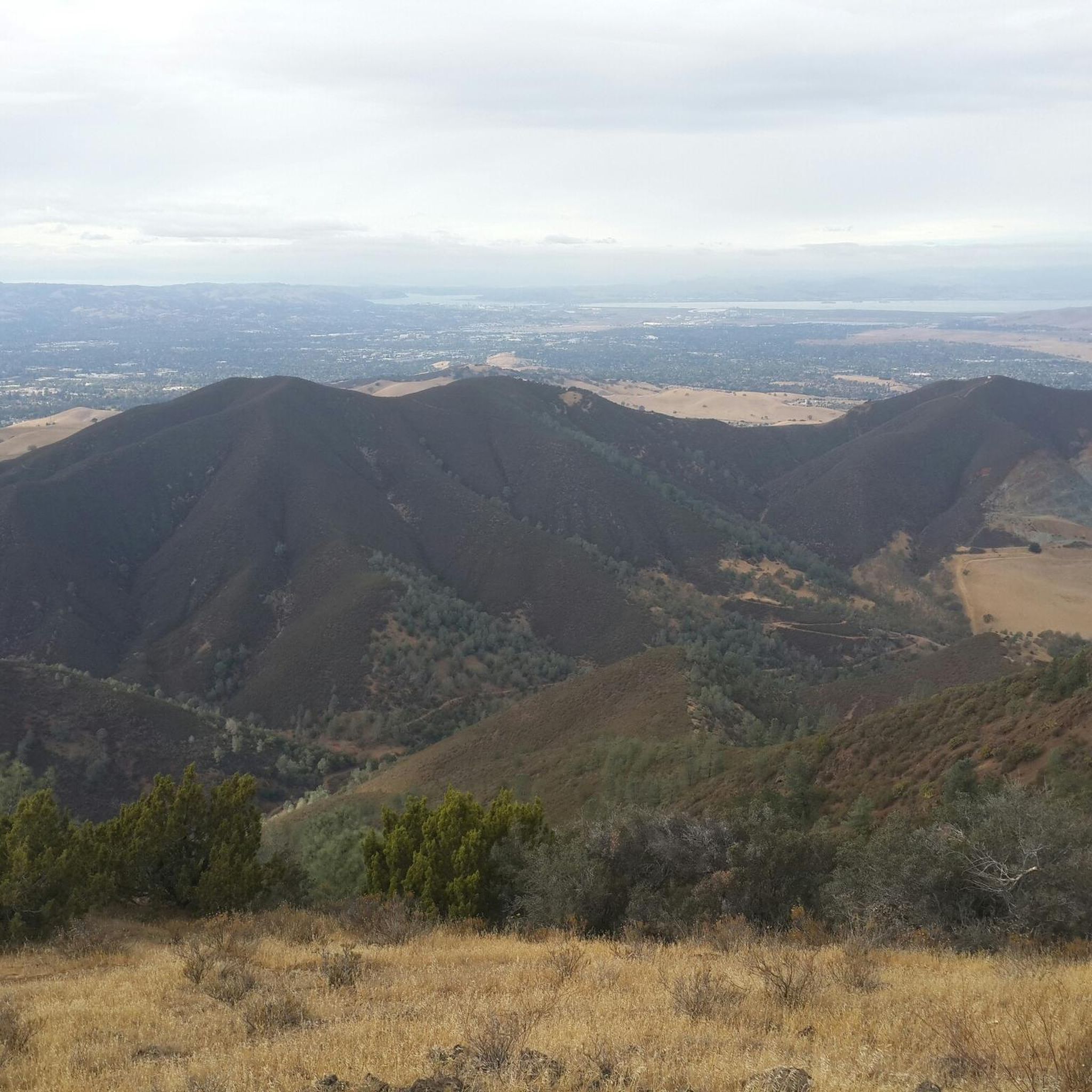
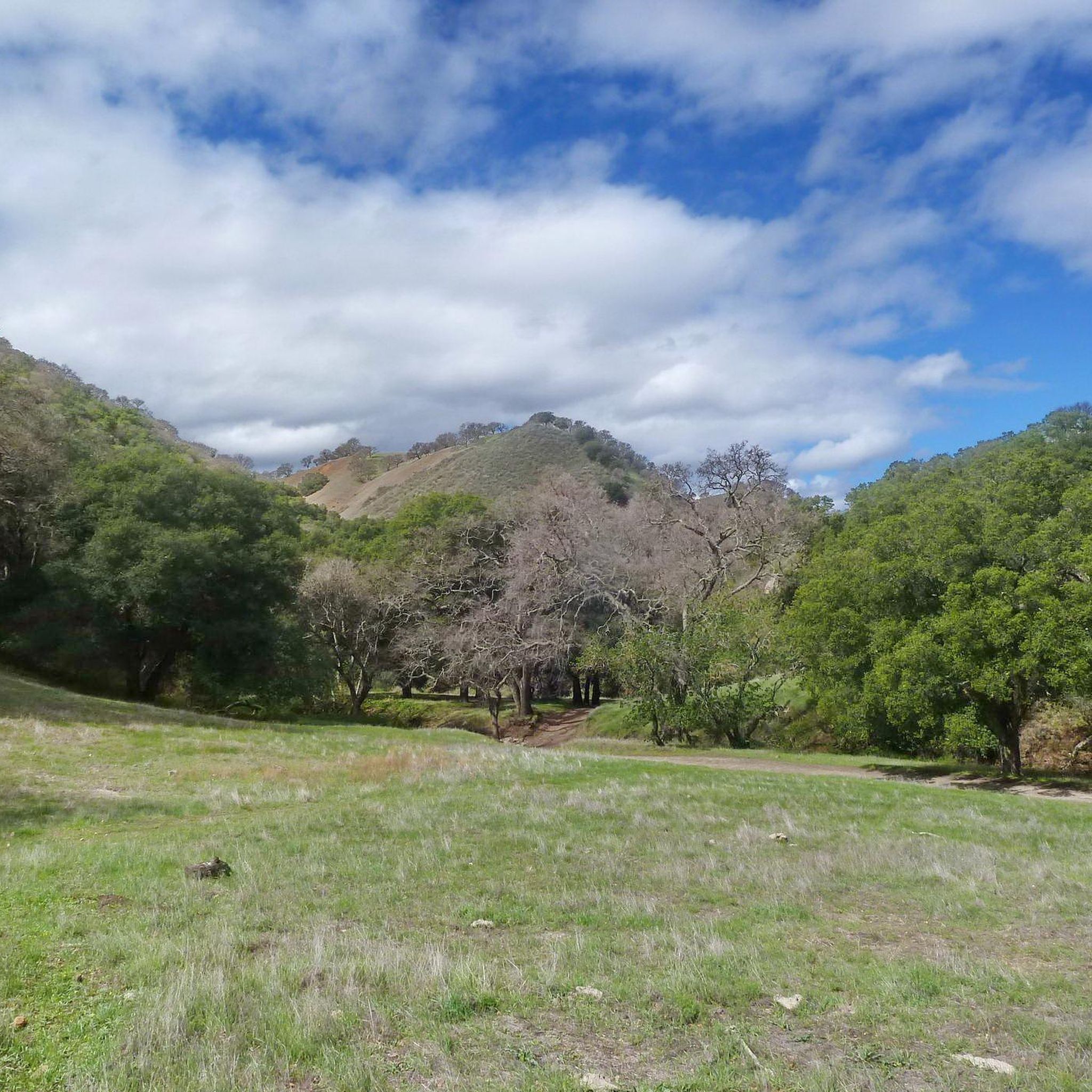
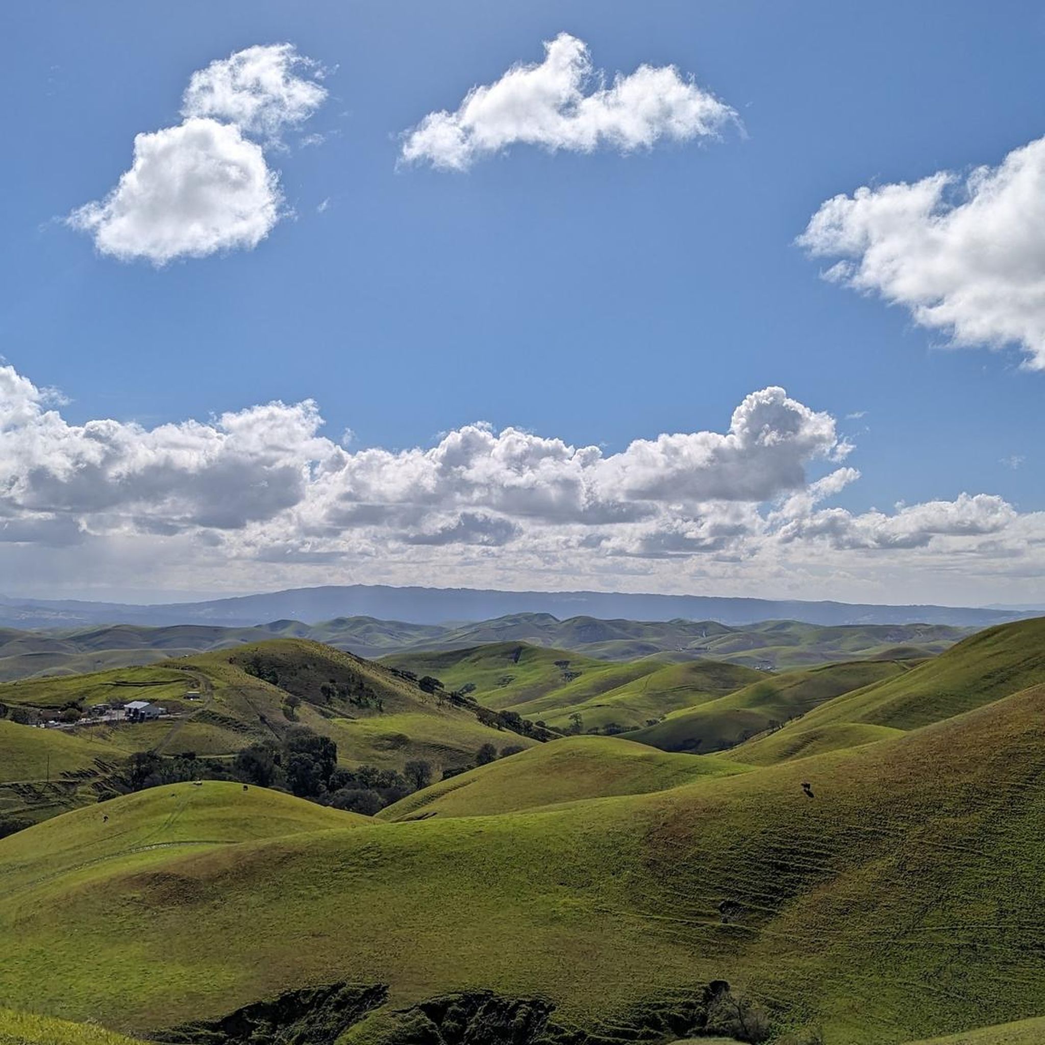
Jogging in Mount Diablo State Park offers diverse terrain for runners, characterized by a mix of fire roads and singletrack trails. The park features elevations ranging from approximately 300 feet to the 3,849-foot summit, providing options for various fitness levels. Runners can experience varied landscapes, including rolling grassy hills, oak forests, and areas with panoramic views. The extensive trail system supports both moderate and challenging climbs.
Best jogging routes in Mount Diablo State Park
- The most popular jogging route is…
Last updated: July 7, 2026
7
runners
12.9km
01:57
630m
630m
Hard run. Very good fitness required. Mostly paved surfaces. Suitable for all skill levels.
3
runners
6.02km
00:51
290m
280m
Moderate run. Good fitness required. Mostly paved surfaces. Suitable for all skill levels.

Sign up for free
15
runners
33.0km
05:06
1,790m
1,790m
Hard run. Very good fitness required. Mostly paved surfaces. Suitable for all skill levels.
10
runners
11.7km
01:41
610m
610m
Hard run. Very good fitness required. Mostly paved surfaces. Suitable for all skill levels.
7
runners
12.9km
01:58
640m
640m
Hard run. Very good fitness required. Mostly paved surfaces. Suitable for all skill levels.
Get access to more routes and recommendations from other explorers.
Sign up for free
Already have an account?
Our route recommendations are based on thousands of hikes, rides, and runs completed by other people on komoot.
Start today with a free account
Your next adventure awaits.
Login or Signup


Other adventures in Mount Diablo State Park

Tips from the Community

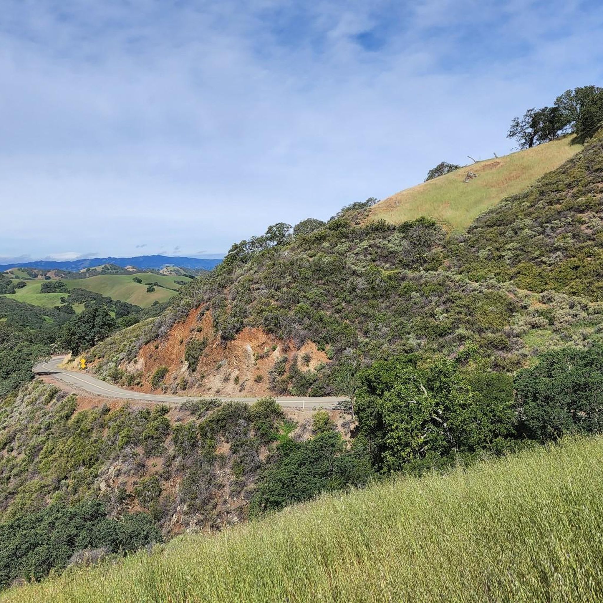
Mount Diablo, is the Bay Area second-highest peak at 1173m (3849ft). The challenging climb features constantly fluctuating gradients averaging 8%, with tough sections up to 18% and a brutal 23% finish in the last 200m. The equally demanding descent requires good bike handling due to tight corners, potholes, and strong winds. The road to the top is open daily from 8 AM till sunset.
0
0

This final section of the Summit Trail takes you up to the Mount Diablo Summit, just after crossing Summit Road. With every step, the views get better and better, so keep going on this final push to the top!
0
0


Keep going to the top! When you get to the metal ladder/steps, climb them for the true summit! A bit of radiation, never hurt anyone, right?
0
0

The visitor center is staffed year-round, on the weekends, by the State Park volunteers to provide helpful information on the park's natural wonders. There are displays regarding various aspects of Mount Diablo State Park, including trails, wildlife, geology, and plant life. Gates are open from 8:00 am to sunset.
0
0

North Peak offers the best viewpoint in the entire area. A tower at the top gives panoramic views of Mount Diablo State Park and the surrounding peaks. The trails in the park form a network that allows you to create different loops depending on how far you want to run, and you can link up this peak with some of the others during a longer session.
1
0
One of the fiercest peaks in the Bay. Always worth the effort. It’s often much cooler on the summit than the rest of the trails — there is a water spigot up there to fill up bottles. Also a store is open at some times. Don’t bank on it.
0
0
The visitor center is staffed year-round, on the weekends, by the State Park volunteers to provide helpful information on the park's natural wonders. There are displays regarding various aspects of Mount Diablo State Park, including trails, wildlife, geology and plant life. Gates are open from 8:00 am to sunset.
0
0
Frequently Asked Questions
How many running routes are available in Mount Diablo State Park?
Mount Diablo State Park offers a wide variety of running routes, with over 130 options to explore. These range from easy paths to very challenging climbs, catering to all fitness levels.
What kind of terrain can I expect on the jogging trails in Mount Diablo State Park?
You'll find diverse terrain, including a mix of fire roads and singletrack trails. The park features rolling grassy hills, some forested areas, and significant elevation changes, with routes ascending from around 300 feet to the 3,849-foot summit. This variety provides options from moderate to very steep climbs.
Are there easy running routes suitable for beginners in Mount Diablo State Park?
Yes, Mount Diablo State Park has 11 easy running routes. A good option for a more relaxed experience is the Stage Road Trail, which is 2.4 miles long and leads through natural landscapes. The Mary Bowerman Trail, though not listed as a specific running route in our data, is also mentioned as an easy, scenic option for those seeking natural beauty near the summit.
What kind of scenic views can I expect while jogging in Mount Diablo State Park?
Mount Diablo State Park is renowned for its spectacular panoramic views. On clear days, the summit offers expansive vistas extending over 100 miles in every direction, potentially even reaching the Golden Gate Bridge. Many trails, especially those winding through rolling grassy hills, provide rewarding views throughout your run. You can experience these views on routes like the Juniper and Summit Trail Loop, which ascends towards the park's peak.
Are there any unique natural features or landmarks to see along the jogging paths?
Absolutely! The park is home to fascinating geological features. You can discover 'wind caves,' Elephant Rock, Sentinel Rock, and Fossil Ridge. Rock City, accessible via a shady trail, features curious sandstone formations and ancient Native American grinding rocks. For breathtaking views, consider visiting the Mount Diablo Summit or Eagle Peak. In spring, areas like Mitchell Canyon are vibrant with wildflower displays.
Can I bring my dog on the running trails in Mount Diablo State Park?
While dogs are permitted in developed areas of Mount Diablo State Park on a leash, it's important to note that they are generally not allowed on the trails or fire roads. This is a key consideration if you plan to bring your pet.
Are there family-friendly running options in Mount Diablo State Park?
For families, the park offers several easy routes. While specific 'family-friendly' designations aren't always available, choosing shorter, less strenuous paths like the Stage Road Trail can be a good option. The park also has numerous picnic sites, including at Rock City, which can make for a pleasant outing after a run.
Where can I park when visiting Mount Diablo State Park for a run?
The Mitchell Canyon Visitor Center, located on the north side of the mountain, serves as a popular trailhead and offers parking. It's a good starting point for various trails ranging from easy to difficult.
What is the best time of year to go running in Mount Diablo State Park?
The park experiences widely varying weather. Spring is particularly beautiful, with vibrant wildflower displays in areas like Mitchell Canyon. However, it's crucial to be prepared for conditions: winters can be cold and windy with occasional snow, while summers can be extremely hot. Always plan for appropriate hydration and layers, regardless of the season.
Are there circular running routes available in Mount Diablo State Park?
Yes, several circular running routes are available. Popular options include the challenging Mitchell Canyon and Eagle Peak Loop, an 8.0-mile route with significant elevation gains, and the moderate Juniper and Summit Trail Loop, which is 3.7 miles and offers scenic views towards the summit.
What do other runners enjoy the most about jogging in Mount Diablo State Park?
The running routes in Mount Diablo State Park are highly rated by the komoot community, with an average score of 4.75 stars from more than 5 reviews. Reviewers often praise the varied terrain, the expansive panoramic views, and the options available for different ability levels, from easy paths to challenging climbs. Nearly 1000 runners have used komoot to explore the park's diverse landscapes.
Are there any challenging running routes for experienced runners?
Yes, Mount Diablo State Park offers 41 difficult routes for experienced runners seeking a strenuous workout. The 'Four Peaks Loop' is a notable 16-mile route that takes runners over Mount Olympia, North Peak, Mount Diablo Summit, and Eagle Peak, involving approximately 4600 feet of elevation gain. Another challenging option is the Mitchell Rock – Twin Peaks loop from Mitchell Canyon Visitor Center Parking Lot, which covers nearly 40 km with over 2000m of elevation gain.
Most popular routes in Mount Diablo State Park
Most popular attractions in Mount Diablo State Park

Get inspired with the komoot mobile app


Explore more
Browse the best Running Trails & Routes in other regions.
