The best road cycling routes in George W. Joseph State Park
4.4
(20)
332
riders
10
rides
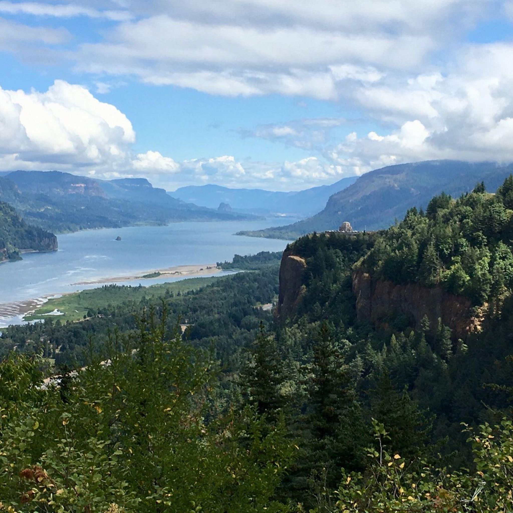
Road cycling routes in George W. Joseph State Park are situated within the Columbia River Gorge National Scenic Area, offering access to a diverse landscape. The region features dense timber, lush forests, and the dramatic geological formations of the Gorge. While the park itself is primarily for hiking, the surrounding area provides road cycling opportunities along historic routes with varied elevation changes. These routes often pass through forested sections and offer views of the Columbia River and its notable waterfalls.
…Last updated: August 22, 2026
5.0
(1)
13
riders
56.4km
04:00
1,190m
1,190m
If you're looking for a significant challenge on two wheels, the Larch Mountain touring cycling route delivers. This difficult 35.0-mile (56.4 km) journey climbs 3905 feet (1190 metres) over roughly…
12
riders
53.4km
03:00
720m
720m
Moderate road ride. Good fitness required. Some segments of this route may be unpaved and difficult to ride.

Sign up for free
33
riders
47.9km
02:44
1,010m
1,010m
Hard road ride. Very good fitness required. Mostly well-paved surfaces and easy to ride.
5.0
(2)
13
riders
70.2km
02:57
1,150m
1,150m
Hard road ride. Very good fitness required. Mostly well-paved surfaces and easy to ride.
4.2
(5)
12
riders
Moderate road ride. Good fitness required. Mostly well-paved surfaces and easy to ride.
Get access to more routes and recommendations from other explorers.
Sign up for free
Already have an account?
Our route recommendations are based on thousands of hikes, rides, and runs completed by other people on komoot.
Start today with a free account
Your next adventure awaits.
Login or Signup
Popular around George W. Joseph State Park

Tips from the Community

The river is visible through the trees as you ride down the historic highway. The Sandy River begins at Reid Glacier on Mount Hood, and travels 56 miles to reach its confluence with the Columbia.
0
0

Here's a perfect spot to take a break, park your bike, and walk up the trail for an excellent view of both Lower and Upper Multnomah Falls.
1
0

This is a great climb on a quiet, lightly trafficked road to the summit of Larch Mountain. Take a jacket for the long descent as it can get cold on the way down even on a warm day!
0
0

The Sandy River Bridge, also known as the Troutdale Bridge of the East Historic Columbia River Highway Bridge, provides bikers with a separate lane away from dangerous traffic, offering a scenic view of the Sandy River. Construction began in 1912 as part of the Columbia River Highway project. Before the bridge, locals used Stark Street or a small ferry, which at one point had a mishap in 1912, when a large auto miscalculated its approach into the ferry and drove into the Sandy River.
1
0

The Sandy River is a 56-mile river that flows into the Columbia River. The river starts at the Reid Glacier south of Mount Hood.
0
0

Sherrard Point is located close to the peak of Larch Mountain in Oregon. It provides a stunning vantage point, offering sweeping views of the Columbia River Gorge, Mount Hood, Mount Adams, and Mount St. Helens.
0
0
Larch Mountain in Oregon is a picturesque peak in the Cascade Range. Dense forests cloak its slopes, featuring a mix of evergreen trees and western hemlock. At the top you will find a parking lot with nearby picnic areas, from where you can start your hike along one of the trails.
0
0
Crown Point sits at 693 feet above the Columbia River and is where visitors can see the Vista House and use binoculars for the overlook. This area was designed by Edgar M. Lazarus, who designed the building in memory of the settlers of the Oregon Trail. Updated Hours and potential closures due to weather are posted at vistahouse.com or by calling (503) 344-1368
0
0
Frequently Asked Questions
What kind of terrain can I expect on road cycling routes near George W. Joseph State Park?
Road cycling routes in this area, particularly along the Historic Columbia River Highway State Trail, offer a diverse landscape. You'll encounter sections through dense timber and lush forests, as well as open areas with panoramic views of the Columbia River Gorge. Expect varied elevation changes, from gentle inclines to more challenging climbs, as routes often traverse the dramatic geological formations of the Gorge.
Are there any car-free sections for road cycling in the Columbia River Gorge area?
Yes, the Historic Columbia River Highway State Trail is renowned for its car-free sections, making it a true cycling paradise. These dedicated paths allow you to enjoy the breathtaking views and natural beauty of the Gorge without vehicle traffic, providing a unique and safe cycling experience.
What are some notable natural features or landmarks I might see while cycling near George W. Joseph State Park?
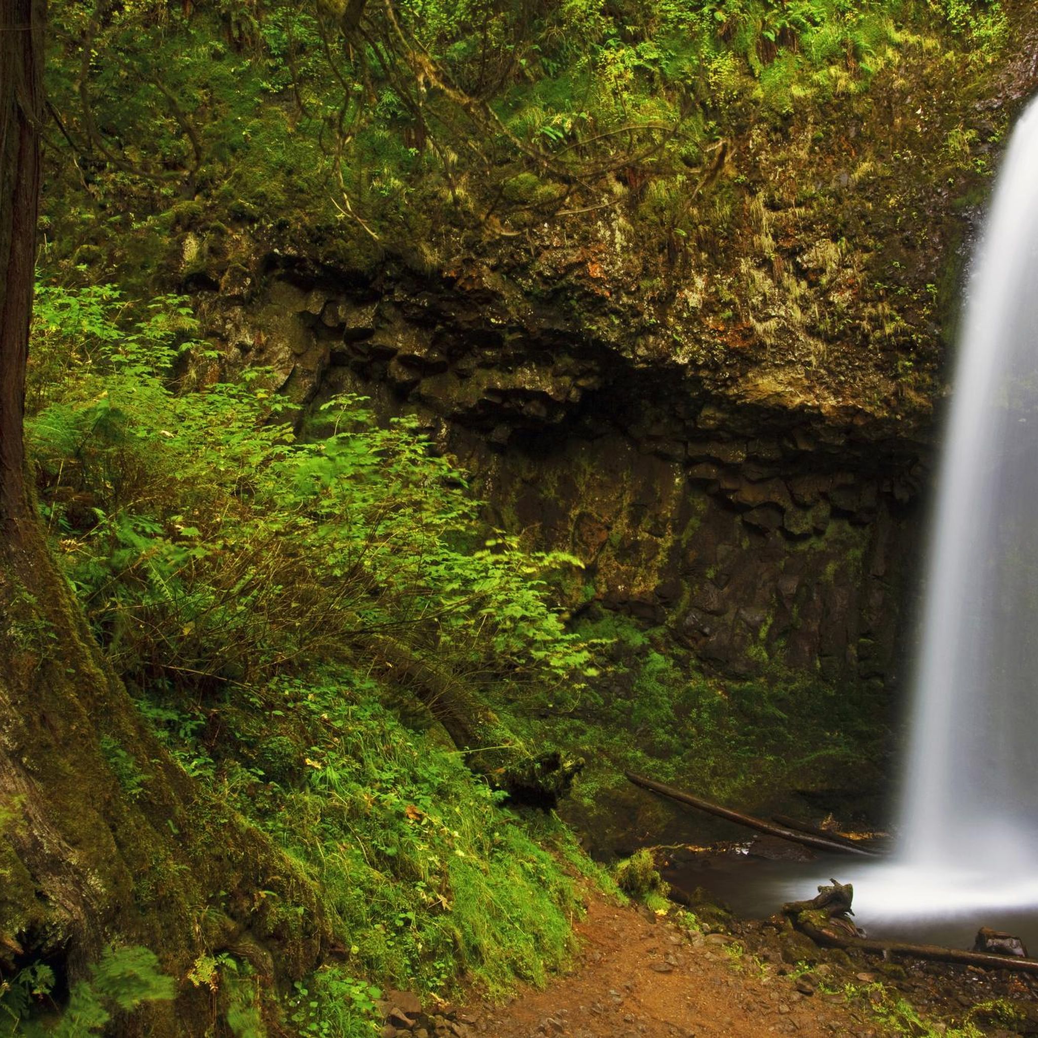
The region is famous for its majestic waterfalls and panoramic viewpoints. While George W. Joseph State Park itself is known for Upper Latourell Falls, road cycling routes along the Historic Columbia River Highway State Trail offer views of various waterfalls and stunning vistas of the Columbia River. The scenic design of the old highway ensures you'll pass through diverse landscapes, including forested areas and dramatic overlooks.
What is the difficulty level of road cycling routes in the George W. Joseph State Park area?
The routes in this area cater to various skill levels. While there is one moderate route, the majority of the road cycling options are considered difficult, featuring significant elevation gains and challenging terrain. For example, the Dabney State Recreation Area – Chanticleer Point loop from Multnomah County is a difficult 44.9-mile path with considerable elevation.
Can I find loop routes for road cycling in this region?
Yes, there are several excellent loop routes available. A popular moderate option is the Chanticleer Point – Crown Point loop from Guy W. Talbot State Park, which covers 39.9 miles and offers panoramic views. Another challenging loop favored by local cyclists is the Sandy River Loop, a 43.6-mile route through the Gorge.
What do other road cyclists think about the routes in George W. Joseph State Park?
The road cycling routes in the George W. Joseph State Park area are highly rated by the komoot community, with an average score of 4.6 stars from over 10 reviews. More than 180 road cyclists have used komoot to explore the varied terrain, often praising the scenic beauty of the Columbia River Gorge and the challenging yet rewarding climbs.
Are there options for e-bike tours in the Columbia River Gorge area?
Yes, the Columbia River Gorge area offers both guided and self-guided e-bike tours. These tours enhance accessibility, allowing cyclists of varying fitness levels to comfortably explore the region's waterfalls and other cool spots along the Historic Columbia River Highway State Trail.
Where can I find information about George W. Joseph State Park itself?
George W. Joseph State Park is primarily a destination for hiking and nature viewing, known for its 'enchanted forest' environment and Upper Latourell Falls. For detailed information about the park's facilities and hiking trails, you can visit the official Oregon State Parks website: oregon.gov.
What is the best time of year for road biking in the Columbia River Gorge?
While specific weather conditions vary, the Columbia River Gorge generally offers excellent road cycling opportunities during spring, summer, and fall. These seasons typically provide more favorable weather for enjoying the scenic routes and exploring the natural features without the challenges of winter conditions.
Are there any long-distance road cycling routes available?
Yes, the area features several long-distance routes. For instance, the Guy W. Talbot State Park – Crown Point loop from Cleveland Avenue is a difficult 42.7-mile route. Another challenging option is Larch Mountain, a 35-mile difficult route with significant elevation gain.
Is public transport available for cyclists in the Columbia River Gorge?
Yes, Columbia Area Transit (CAT) provides bike transport services, which can be a convenient option for cyclists looking to access different sections of the Historic Columbia River Highway State Trail or to return to their starting point after a ride.
Most popular routes in George W. Joseph State Park

Get inspired with the komoot mobile app


Explore more
Browse the best Road cycling routes in other regions.
