The best running trails in Flying J Ranch Park
192
runners
11
runs
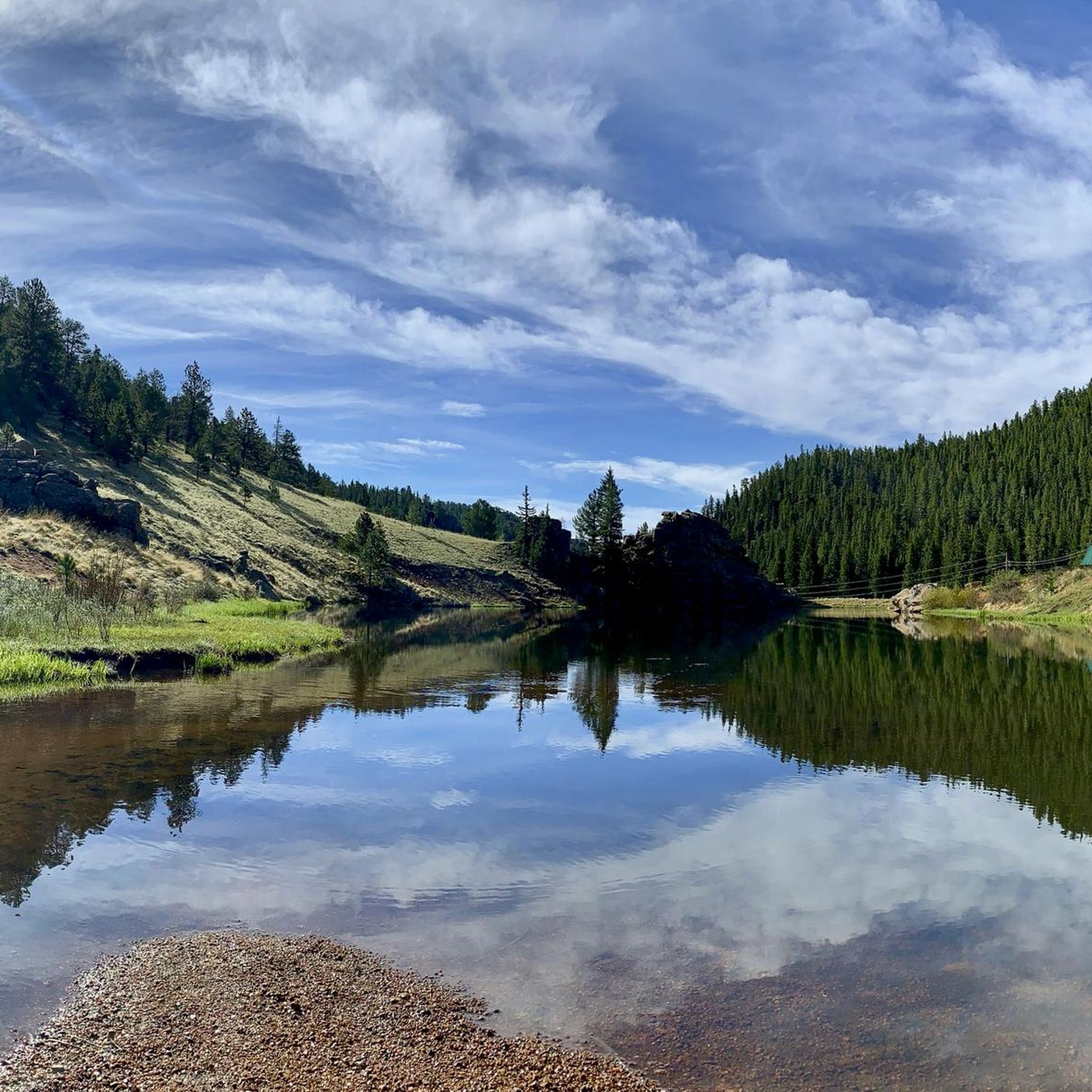
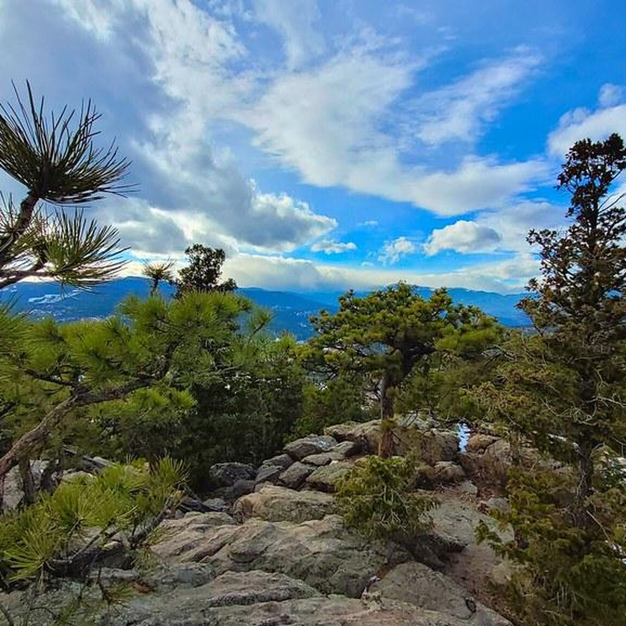
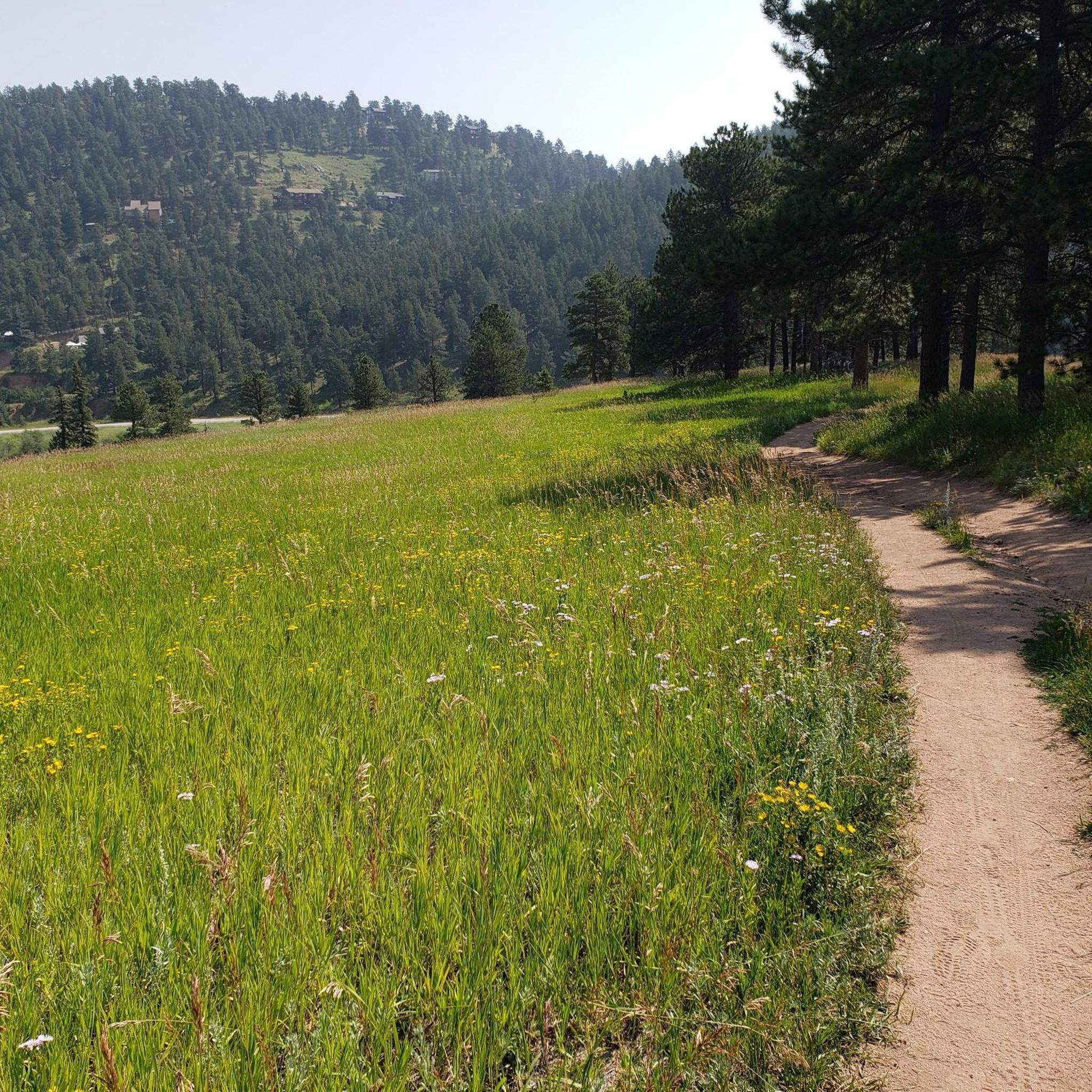
Jogging routes in Flying J Ranch Park traverse a diverse landscape characterized by rolling hills and a rich forest ecosystem. Runners can experience trails winding through old-growth lodgepole pine, ponderosa pines, and Douglas firs. Interspersed within these forested sections are open grassy meadows, wetlands, and a creek that intersects the trails. The park offers views of the surrounding foothills, providing varied scenery for running.
Best jogging routes in Flying J Ranch Park
- The most popular jogging route is Davis Ponds…
Last updated: July 12, 2026
14
runners
3.84km
00:33
70m
70m
Hard run. Great for any fitness level. Sure-footedness, sturdy shoes and alpine experience required.
12
runners
4.48km
00:33
50m
50m
Easy run. Great for any fitness level. Mostly paved surfaces. Suitable for all skill levels.

Sign up for free
8
runners
12.8km
01:39
330m
330m
Hard run. Very good fitness required. Mostly paved surfaces. Suitable for all skill levels.
3
runners
11.6km
01:31
290m
290m
Moderate run. Good fitness required. Mostly paved surfaces. Suitable for all skill levels.
25
runners
18.7km
02:23
540m
540m
Hard run. Very good fitness required. Mostly accessible paths. Some sure footedness required.
Get access to more routes and recommendations from other explorers.
Sign up for free
Already have an account?
Our route recommendations are based on thousands of hikes, rides, and runs completed by other people on komoot.
Start today with a free account
Your next adventure awaits.
Login or Signup
Popular around Flying J Ranch Park
Tips from the Community

… a wonderful occasion to look up and admire the scenery …
0
0

Nice path on needles through the trees 🌲 🌳
0
0

This is a beautiful area with short stone-lined paths leading to benches in the forest and a wooden bridge crossing the stream. This makes for a wonderful place to rest or take in the scenery.
0
0
East of the county line is Jefferson County, and west is Park County. Park County gets its name from early fur traders to the region, while Jefferson County is named after the president.
0
0
There is ample parking, restrooms, and a picnic area here at the upper trailhead. You can keep driving up to the Lazy V trailhead if you want to get further into the mountains without adding distance to your run.
0
0
The trail is a beautiful dirt singletrack that winds along the ridge with fantastic views all around. The trail is a little rocky in places but mostly easy with not too much elevation gain once you reach the ridge.
0
0

This is an easy trail with only slight elevation changes and a good scattering of shade. It's also quite popular, so you can expect to see lots of walkers, and on a typical day, many people fishing in the ponds.
0
0

Mason Creek Trail is a great intermediate trail, with a few rocks and obstacles, but nothing very technical. There are also a few creek crossings along the way.
0
0
Frequently Asked Questions
How many running routes are available in Flying J Ranch Park?
Flying J Ranch Park offers a selection of 9 dedicated running routes, catering to various preferences and fitness levels. These trails traverse diverse landscapes, from dense forests to open meadows.
Are there easy running trails for beginners in Flying J Ranch Park?
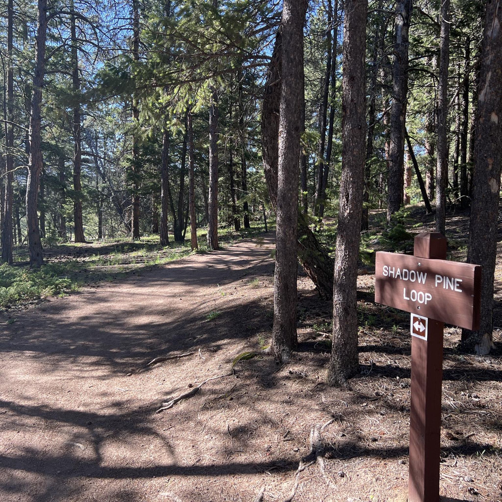
Yes, beginners can find suitable options. The Davis Ponds Loop Trail is an easy 2.8-mile route featuring water elements and forested sections. Additionally, the park's well-maintained trails, like the Shadow Pine Loop, are generally considered easier and suitable for various skill levels.
What kind of terrain can I expect on the jogging routes in Flying J Ranch Park?
The park's terrain is characterized by rolling hills and a rich, diverse forest ecosystem. You'll jog through old-growth lodgepole pine, ponderosa pines, and Douglas firs, interspersed with open grassy meadows and wetlands. Some trails offer glimpses of the surrounding foothills, providing varied scenery.
Are the running trails in Flying J Ranch Park dog-friendly?
Yes, Flying J Ranch Park is notably dog-friendly, allowing pet owners to enjoy their runs with their furry companions. Please ensure your dog is on a leash and you clean up after them to maintain the park's natural beauty.
Are there any loop trails for running in Flying J Ranch Park?
Yes, several loop trails are available for runners. Popular options include the Davis Ponds Loop Trail, the Staunton Ranch and Scout Line Trail Loop, and the Staunton Ranch, Old Mill, and Border Line Trail Loop. The Shadow Pine Loop is also a well-known loop within the park.
What are some notable natural features or landmarks to see while running in the park?
While running, you can experience peaceful routes winding through old-growth forests, open grassy meadows, and vibrant wildflowers in warmer months. There are also beautiful wetland areas and a creek that intersects the trails. The park itself, Flying J Ranch Park, is a highlight, offering diverse landscapes.
Are there any shaded sections on the running routes for sunnier days?
Yes, many sections of the trails, particularly the Shadow Pine Loop, are shaded by the dense forest canopy of lodgepole pine, ponderosa pines, and Douglas firs. This provides a more comfortable jogging experience even on sunnier days.
What facilities are available at Flying J Ranch Park for runners?
The park offers several amenities to enhance your running experience. You'll find clean restrooms at the main trailhead, rustic timber shelters perfect for picnicking, and large parking lots for convenient access.
How long are the running trails in Flying J Ranch Park?
The running trails vary in length. For example, the easy Davis Ponds Loop Trail is about 2.8 miles (4.5 km). Longer, more challenging routes like the Staunton Ranch, Old Mill, and Border Line Trail Loop extend to 8.0 miles (12.8 km).
What is the difficulty level of the running routes in Flying J Ranch Park?
The park offers a range of difficulties. There is 1 easy route, 3 moderate routes, and 5 difficult routes, ensuring options for various fitness levels. The trails are generally well-maintained and lack significant technical terrain, making them suitable for trail running.
Is there ample parking available at Flying J Ranch Park?
Yes, Flying J Ranch Park features large parking lots at its trailheads, providing convenient access for visitors looking to enjoy the running routes.
Most popular routes in Flying J Ranch Park
Most popular attractions in Flying J Ranch Park

Get inspired with the komoot mobile app


Explore more
Browse the best Running Trails & Routes in other regions.
