The best running trails in Whitehead Gulch Wilderness Study Area
90
runners
17
runs
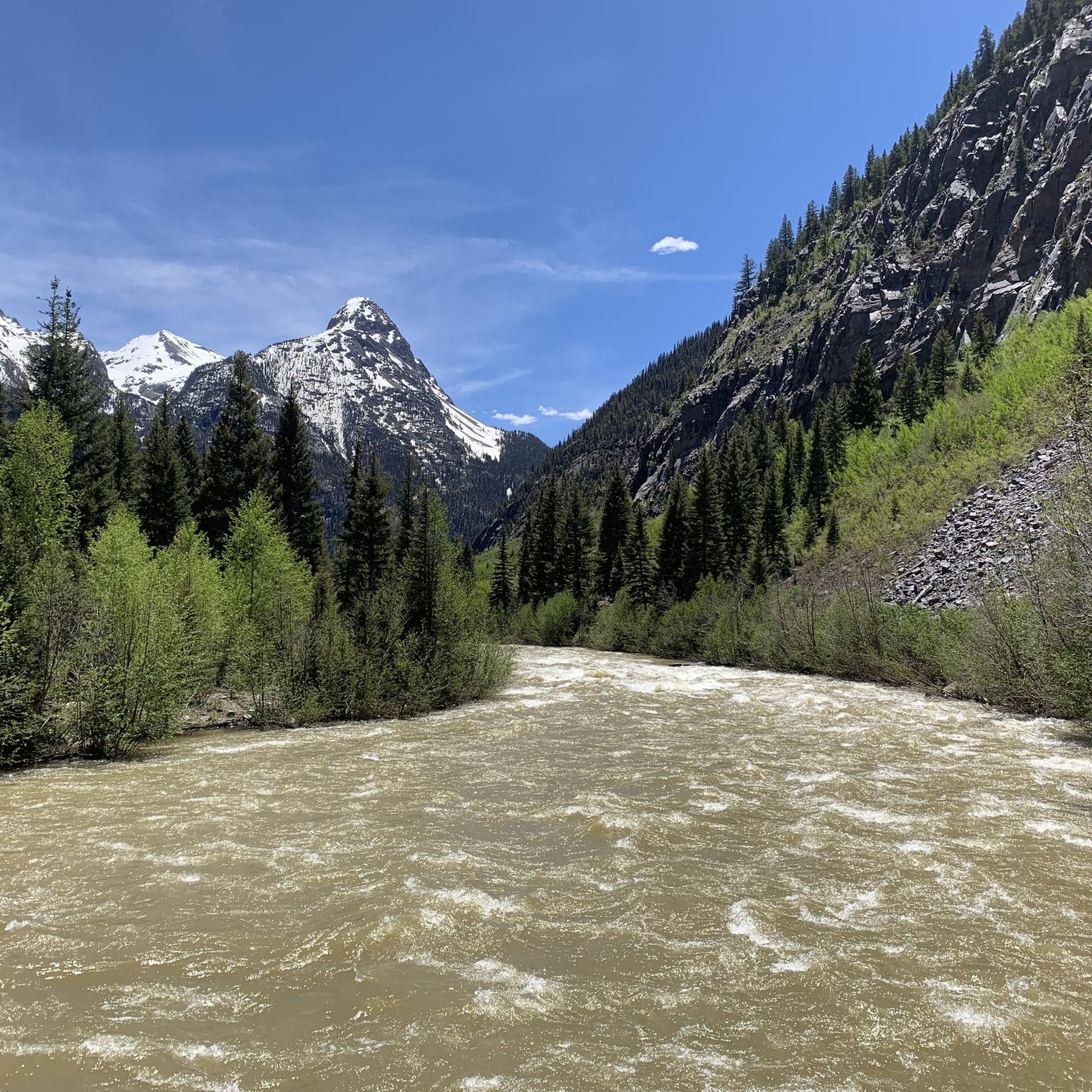
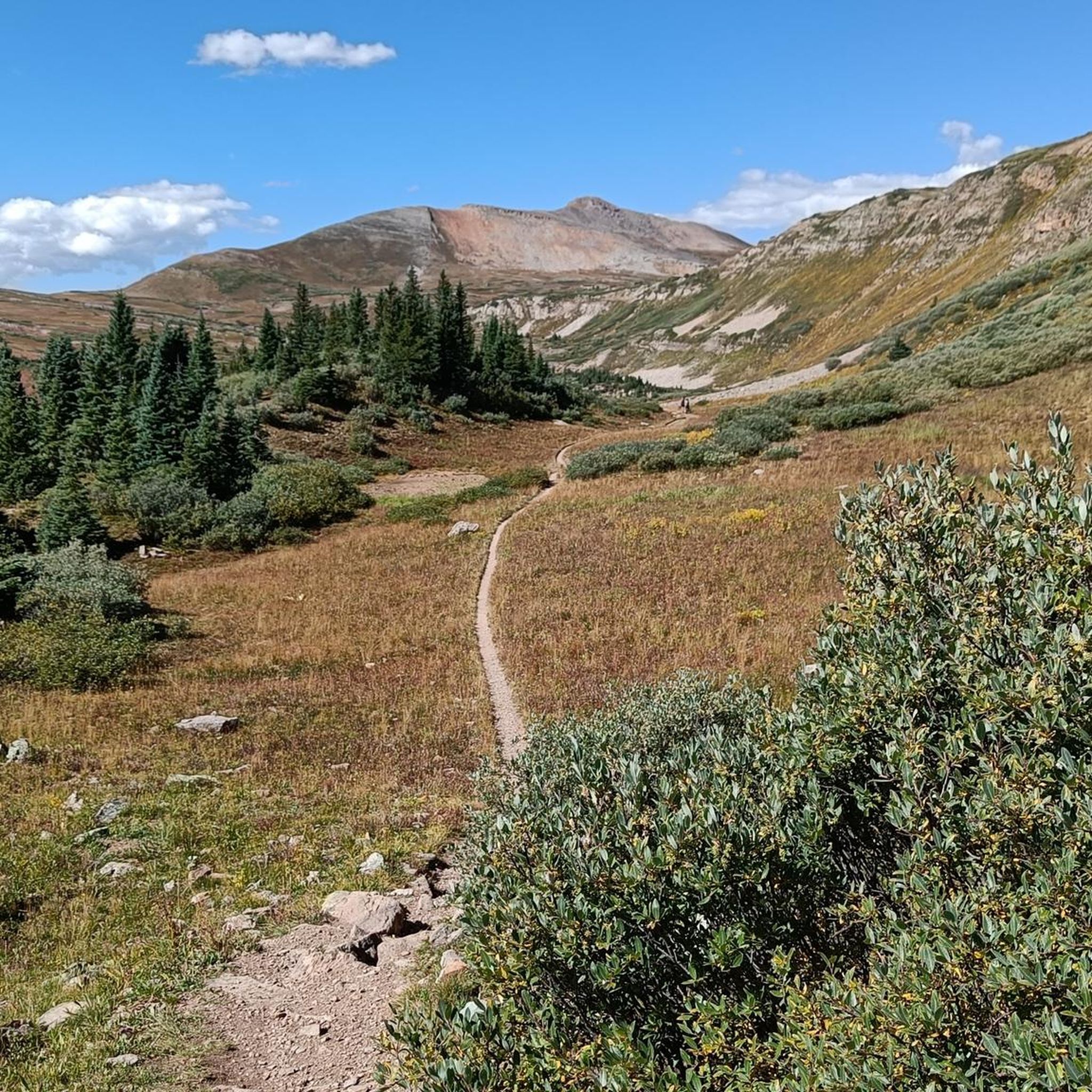
Jogging in Whitehead Gulch Wilderness Study Area offers routes through rugged mountainous terrain, characterized by elevations ranging from approximately 9,200 to 12,160 feet. The region features portions of the steep, forested Animas River Canyon and encompasses alpine streams and tundra, providing varied landscapes for running. Diverse vegetation, including spruce, aspen, and willow, adds to the natural environment. This area provides opportunities for unconfined recreation within its roadless expanses.
Best jogging routes in Whitehead Gulch Wilderness Study Area
- The most popular…
Last updated: September 1, 2026
26
runners
15.0km
02:23
870m
870m
The Kendall Mountain Road offers a truly epic high-altitude jogging experience, climbing through rugged terrain to deliver unparalleled views of Silverton and the vast San Juan Mountains. As you ascend…
4
runners
6.30km
00:43
140m
140m
If you're looking for a moderate jogging route that offers a quick escape into the mountains, the Rainbow Trail is a solid choice. This 3.9-mile (6.3 km) segment, with its…

Sign up for free
1
runners
11.9km
01:47
580m
580m
This segment of the Animas River via Colorado Trail offers a rugged jogging experience, guiding you through a diverse landscape that transitions from high-alpine views to riverside tranquility. You'll start…
1
runners
7.65km
00:59
160m
160m
The Colorado Trail: Little Molas Lake offers a fantastic high-alpine jogging experience, winding through expansive meadows and past the picturesque Little Molas Lake itself. You'll be treated to panoramic views…
2.85km
00:22
60m
60m
The Molas Lake Trail Loop offers a genuinely rewarding jogging experience, wrapping around the picturesque Molas Lake with constant views of the majestic San Juan Mountains. You'll find yourself amidst…
Get access to more routes and recommendations from other explorers.
Sign up for free
Already have an account?
Our route recommendations are based on thousands of hikes, rides, and runs completed by other people on komoot.
Start today with a free account
Your next adventure awaits.
Login or Signup
Popular around Whitehead Gulch Wilderness Study Area

Tips from the Community

Little Molas Lake is a high-altitude body of water at about 11,000 feet. It is located nearby parking lots and provides easy access to the Colorado Trail. It is the ideal place to enjoy a packed lunch before or after your ride.
0
0

Little Molas Lake is a small body of water found off the Colorado trail. At 11,000 feet, the lake is surrounded by beautiful mountains. There is a picnic area along the banks of the lake, so it is a great place for a break to enjoy the peaceful surroundings.
0
0

This is a perfect spot for a picture postcard view of the Grenadier Range: You can see Garfield Peak, Greystone Peak, Electric Peak with Arrow Peak, Vestal Peak and Trinity Peaks in the background (from right). The Grenadiers and Needles are the only places in the San Juans where the basement rock withstood the range's period of volcanism. The range was uplifted around 70 million years ago. During the San Juans' period of volcanic activity, nearly the entire surface was covered with layers of lava and ash flows, but the volcanic flows would only lap at the Grenadiers' feet.
0
0
The Molas Lake Trailhead has parking, but no restrooms. The trail leads to the popular Molas Lake and has a connector trail to the Colorado Trail.
0
0
Molas Lake is a popular 25-acre body of water close to Silverton. Many visitors come to the lake for hiking, trail running, bird watching and swimming. There is also a popular campground on the banks of the lake.
0
0

Here the road ends and splits into a trail. To the north is Kendall Mountain, and you can follow the western trail up along its ridge. To the east, the trail leads up towards Kendall Peak.
0
0
The road up Kendall Peak is a rough PHV track. This is a great spot to run and hike, as the grade is not too steep nor the trail too technical and it leads straight into the mountains from town.
0
0
The Rainbow Trail runs along the foothills of Anvil Mountain to where it crosses the Million Dollar Highway and climbs Bear Creek. Presumably, the trail gets its name from the multicolored mineral deposits that paint the mountainside as it runs down toward Mineral Creek. Victoria Mine sits at the east end of the trail, and the South Anvil Mine is along the middle of the trail.
0
0
Frequently Asked Questions
How many running routes are available in Whitehead Gulch Wilderness Study Area?
There are 16 diverse running routes documented in the Whitehead Gulch Wilderness Study Area on komoot. These routes cater to various skill levels, from easy paths to more challenging ascents.
What kind of terrain can I expect on the jogging routes in Whitehead Gulch?
Joggers in Whitehead Gulch Wilderness Study Area will encounter rugged mountainous terrain, with elevations ranging from approximately 9,200 to 12,160 feet. The landscape includes steep, forested sections of the Animas River Canyon, as well as alpine streams and tundra. This varied environment provides both challenging inclines and breathtaking panoramic views.
Are there any easy or beginner-friendly running trails in the area?
Yes, while much of the area is rugged, there are a few easier options. For instance, the Molas Lake loop via Colorado Trail — San Juan County is an easy 1.8-mile (2.9 km) route, perfect for a less strenuous run.
What natural features or viewpoints can I see while running in Whitehead Gulch?
The Whitehead Gulch Wilderness Study Area is rich in natural beauty. You can expect to see diverse vegetation including spruce, aspen, and willow, especially along the Animas River Canyon. The high elevations offer stunning panoramic views of the surrounding mountainous landscape and alpine tundra. While specific named viewpoints aren't listed, the entire area provides a sense of wildness and solitude.
Are there any circular running routes in Whitehead Gulch Wilderness Study Area?
Yes, there are circular routes available. The Molas Lake loop via Colorado Trail — San Juan County is a great example of a loop trail, offering a complete circuit back to your starting point.
Is Whitehead Gulch Wilderness Study Area suitable for dog-friendly running?
The Whitehead Gulch Wilderness Study Area is managed to maintain its wilderness character, offering roadless expanses for exploration. Generally, wilderness study areas allow dogs, but it's always best to check specific regulations for the area, especially regarding leash laws and waste disposal, to ensure a responsible visit. The rugged terrain might be challenging for some dogs.
What is the best time of year to go jogging in Whitehead Gulch?
Given the high elevations (up to 12,160 feet) and mountainous terrain, the best time for jogging is typically during the warmer months, from late spring through early autumn. During winter, snow and ice can make many trails impassable or require specialized gear. Always check local weather conditions before heading out.
Are there any permits required for running in Whitehead Gulch Wilderness Study Area?
Wilderness Study Areas like Whitehead Gulch are managed by the Bureau of Land Management (BLM) to preserve their wilderness characteristics. Generally, day-use permits are not required for recreational activities like running in WSAs. However, it's always advisable to consult the official BLM website for any specific regulations or changes, especially if planning an overnight trip or group activity. You can find more information on the BLM's programs at blm.gov.
Where can I find parking for running trails in Whitehead Gulch Wilderness Study Area?
Specific parking information for individual trailheads is often detailed on komoot route pages. Given the area's remote and wild nature, parking might be limited to designated pull-offs or small lots at trail access points. It's recommended to check the starting point details for your chosen route on komoot for the most accurate parking information.
Are there any challenging running routes for experienced runners?
Absolutely. The Whitehead Gulch Wilderness Study Area is known for its rugged and mountainous terrain, offering several difficult routes. For a significant challenge, consider the Kendall Peak Road run — Silverton, a 9.3-mile (15.0 km) trail with substantial elevation gain, or the Animas River via Colorado Trail — Molas Pass Wilderness Study Area, which is 7.4 miles (11.9 km) with considerable ascent.
What is the average length of running routes in this area?
The running routes in Whitehead Gulch Wilderness Study Area vary significantly in length. You can find shorter, moderate trails like the Rainbow Trail run — Silverton at 3.9 miles (6.3 km), up to longer, more challenging runs such as the Kendall Peak Road run — Silverton which spans 9.3 miles (15.0 km). The average length across all routes is approximately 4.7 miles (7.6 km).
What do other runners enjoy most about jogging in Whitehead Gulch Wilderness Study Area?
Runners frequently praise the sense of 'unconfined recreation and solitude' that the Whitehead Gulch Wilderness Study Area offers. The dramatic mountainous landscape, diverse vegetation, and the opportunity to experience high-altitude alpine environments are often highlighted as key attractions. The area provides a true wilderness experience away from crowds.
Most popular routes in Whitehead Gulch Wilderness Study Area

Get inspired with the komoot mobile app


Explore more
Browse the best Running Trails & Routes in other regions.
