The best running trails in Grand Staircase–Escalante National Monument
4.4
(15)
1,100
runners
49
runs
Jogging routes in Grand Staircase–Escalante National Monument traverse a vast, undeveloped wilderness characterized by spectacular and diverse landscapes. The region features a "Grand Staircase" of colorful, layered rock formations, including cliffs, canyons, plateaus, and badlands. Runners can explore intricate slot canyons, expansive slickrock, and high desert plateaus. This varied terrain offers opportunities for solitude and immersion in nature.
Best jogging routes in Grand Staircase–Escalante National Monument
- The most popular jogging route is Wire Pass Trailhead – Wire Pass Slot Canyon loop from Wire Pass Trailhead Parking, a 3.5 miles (5.6 km) trail that takes about 40 minutes to complete. This route offers an immersive experience through a renowned slot canyon.
- Another top favourite among local runners is Two Bridges (Navajo Loop Trail) – South Hall loop from Bristlecone Point, a difficult 7.8 miles (12.5 km) path. This trail features significant elevation gain and diverse scenery.
- Local runners also love the Mammoth Spire Overlook – Kodachrome Basin State Park loop from Kodachrome Basin State Park, a 6.2 miles (9.9 km) trail leading through unique rock formations, often completed in about 1 hour 12 minutes.
- Jogging in Grand Staircase–Escalante National Monument is defined by slot canyons, layered rock formations, and high desert plateaus. The network offers options for various ability levels, from easy paths to challenging long-distance routes.
- The routes in Grand Staircase–Escalante National Monument are highly rated by the komoot community with an average score of 4.7 stars from over 10 reviews. More than 1,200 runners have used komoot to explore Grand Staircase–Escalante National Monument's varied terrain.
Last updated: September 28, 2026
27
runners
12.5km
01:46
470m
470m
Hard run. Very good fitness required. Mostly paved surfaces. Suitable for all skill levels.
8
runners
Moderate run. Good fitness required. Mostly paved surfaces. Suitable for all skill levels.

2
runners
8.52km
01:02
130m
130m
Moderate run. Good fitness required. Mostly paved surfaces. Suitable for all skill levels.
2
runners
7.55km
00:49
50m
50m
Moderate run. Good fitness required. Mostly paved surfaces. Suitable for all skill levels.
5.0
(1)
3
runners
4.30km
00:27
30m
30m
Easy run. Great for any fitness level. Mostly paved surfaces. Suitable for all skill levels.
Get access to more routes and recommendations from other explorers.
Already have an account?
Our route recommendations are based on thousands of hikes, rides, and runs completed by other people on komoot.
Start today with a free account
Your next adventure awaits.
Popular around Grand Staircase–Escalante National Monument
Tips from the Community

A stunningly beautiful hike in Bryce Canyon. The Navajo Peekaboo Loop is a popular and challenging hike in Bryce Canyon National Park, connecting two of the most famous trails in the Bryce Amphitheater. Impressive, narrow switchbacks lead steeply down into the canyon and past rock formations with imaginative names like Thor's Hammer and Wall Street.
0
0
A stunningly beautiful hike in Bryce Canyon. The Navajo Peekaboo Loop is a popular and challenging hike in Bryce Canyon National Park, connecting two of the most famous trails in the Bryce Amphitheater. Impressive, narrow switchbacks lead steeply down into the canyon and past rock formations with imaginative names like Thor's Hammer and Wall Street.
0
0
A stunningly beautiful hike in Bryce Canyon. The Navajo Peekaboo Loop is a popular and challenging hike in Bryce Canyon National Park, connecting two of the most famous trails in the Bryce Amphitheater. Impressive, narrow switchbacks lead steeply down into the canyon and past rock formations with imaginative names like Thor's Hammer and Wall Street.
0
0

Peek-a-Boo Arch is a small, door-shaped arch with almost perfect geometry. It’s just a short detour if you’re running in the Sand Dunes area—a quick scramble off the main path gets you there. Worth the stop for the cool rock formation, the views through the arch, and a good spot to catch your breath or snap a photo before continuing your run or hike.
0
0

This trailhead is an entry point to Buckskin Gulch and the Paria Canyon-Vermilion Cliffs Wilderness. It has direct access to the Wire Pass Trail through Coyote Gulch and also connects to Coyote Buttes North. It requires a $6 day-use permit and a special lottery permit to enter Coyote Buttes North.
0
0

The two bridges are not that thick anymore, they will certainly not last for thousands of years.
1
0

We were here in September, check it out: https://youtu.be/NqofJUHjKys
2
0

Hilltop on the edge of the Peek a boo Trail.
0
0
Frequently Asked Questions
How many running routes are available in Grand Staircase–Escalante National Monument?
There are over 45 running routes available in Grand Staircase–Escalante National Monument, offering a wide range of experiences from easy jogs to challenging long-distance runs.
Are there easy running routes suitable for beginners in Grand Staircase–Escalante National Monument?
Yes, the monument features 8 easy running routes. These often traverse less strenuous terrain, such as sandy washes or flatter sections of slickrock, providing a gentle introduction to the area's unique landscapes.
Can I find challenging long-distance running trails in Grand Staircase–Escalante National Monument?
Absolutely. For experienced runners seeking a challenge, there are 11 difficult routes. An example is the Yovimpa Point loop from Cannonville, which spans over 8.7 miles (14 km) with significant elevation changes, offering a rewarding workout amidst stunning scenery.
What kind of landscapes will I encounter while running in Grand Staircase–Escalante?
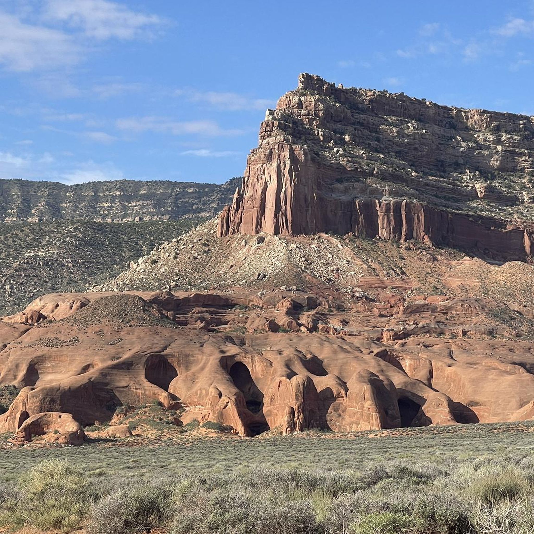
Runners in Grand Staircase–Escalante National Monument will experience incredibly diverse landscapes. These include dramatic layered rock formations like the 'Grand Staircase,' intricate slot canyons, expansive slickrock, high desert plateaus, and rugged badlands. The terrain can vary from sandy washes to sculpted sandstone and even areas dotted with pine trees at higher elevations.
Are there any circular running routes in Grand Staircase–Escalante National Monument?
Yes, many of the running routes in the monument are designed as loops, allowing you to experience varied scenery without retracing your steps. For instance, the Sunset Point – Bryce Point loop from The Cathedral is a challenging 6.1-mile (9.8 km) circular route that offers diverse views.
What unique natural features can I see along the running trails?
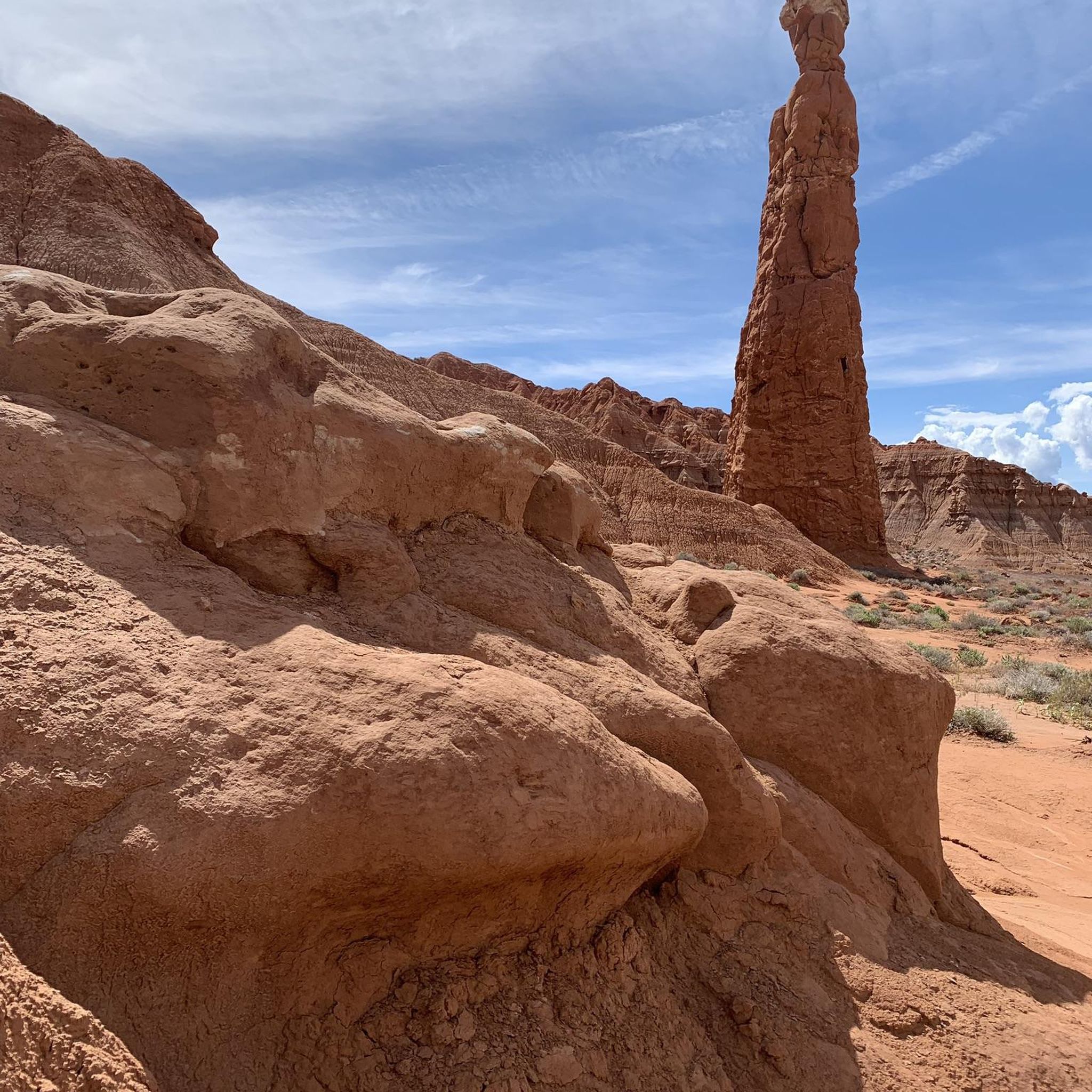
The monument is rich with unique natural features. You can explore world-renowned slot canyons like Zebra Slot Canyon, Peek-A-Boo Slot Canyon, and Spooky Slot Canyon. Other notable sights include impressive natural arches, towering hoodoos such as the Toadstool Hoodoos, and the picturesque Lower Calf Creek Falls.
What do other runners enjoy most about jogging in Grand Staircase–Escalante National Monument?
The running routes in Grand Staircase–Escalante National Monument are highly rated by the komoot community, with an average score of 4.7 stars. Runners frequently praise the profound sense of solitude, the stunning geological formations, and the immersive experience of traversing slot canyons and vast wilderness areas.
Are there any running routes that feature waterfalls?
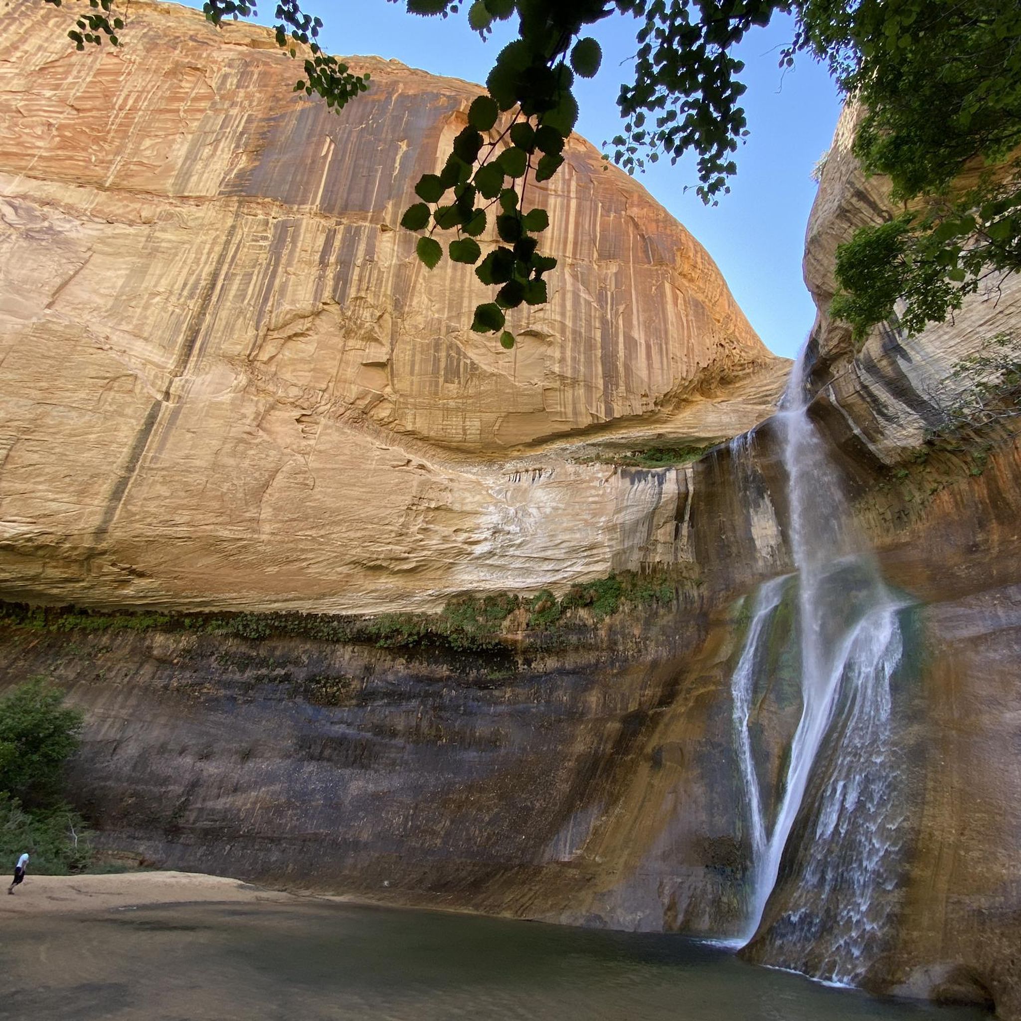
Yes, one of the most iconic routes featuring a waterfall is the Lower Calf Creek Waterfall Trail. This moderately strenuous 5.5-mile round trip leads to the impressive 126-foot Lower Calf Creek Falls, offering a refreshing and scenic destination for your run.
What should I consider regarding water and supplies when running in the monument?
Grand Staircase–Escalante is a rugged and remote wilderness. It is critical to carry at least one gallon of water per person per day, especially during warmer months. There are limited services, so plan to be self-sufficient with all necessary supplies, including food, navigation tools, and sun protection.
Are there specific permits required for running on trails in Grand Staircase–Escalante National Monument?
While many trails do not require specific permits for day use, some popular areas or overnight trips might. It's always advisable to check with the local Bureau of Land Management (BLM) visitor centers or their official website for the most current information regarding permits and regulations before your run. You can find more information on the BLM website.
What is the best season for running in Grand Staircase–Escalante National Monument?
Spring and fall generally offer the most pleasant running conditions with milder temperatures. Summers can be extremely hot, making early morning or late evening runs essential, along with carrying ample water. Winters can bring cold temperatures and occasional snow, especially at higher elevations, requiring appropriate gear.
Are there any running routes that are particularly family-friendly?
While many trails in the monument are rugged, some shorter, less strenuous paths can be suitable for families. Look for routes designated as 'easy' in difficulty. Always consider the length, elevation gain, and terrain, and ensure everyone in your group is prepared with sufficient water and appropriate footwear.
Most popular routes in Grand Staircase–Escalante National Monument
Most popular attractions in Grand Staircase–Escalante National Monument

Get inspired with the komoot mobile app


Explore more
Browse the best Running Trails & Routes in other regions.
