Tijuana Slough National Wildlife Refuge
Tijuana Slough National Wildlife Refuge
The best road cycling routes in Tijuana Slough National Wildlife Refuge
4.4
(182)
1,231
riders
23
rides
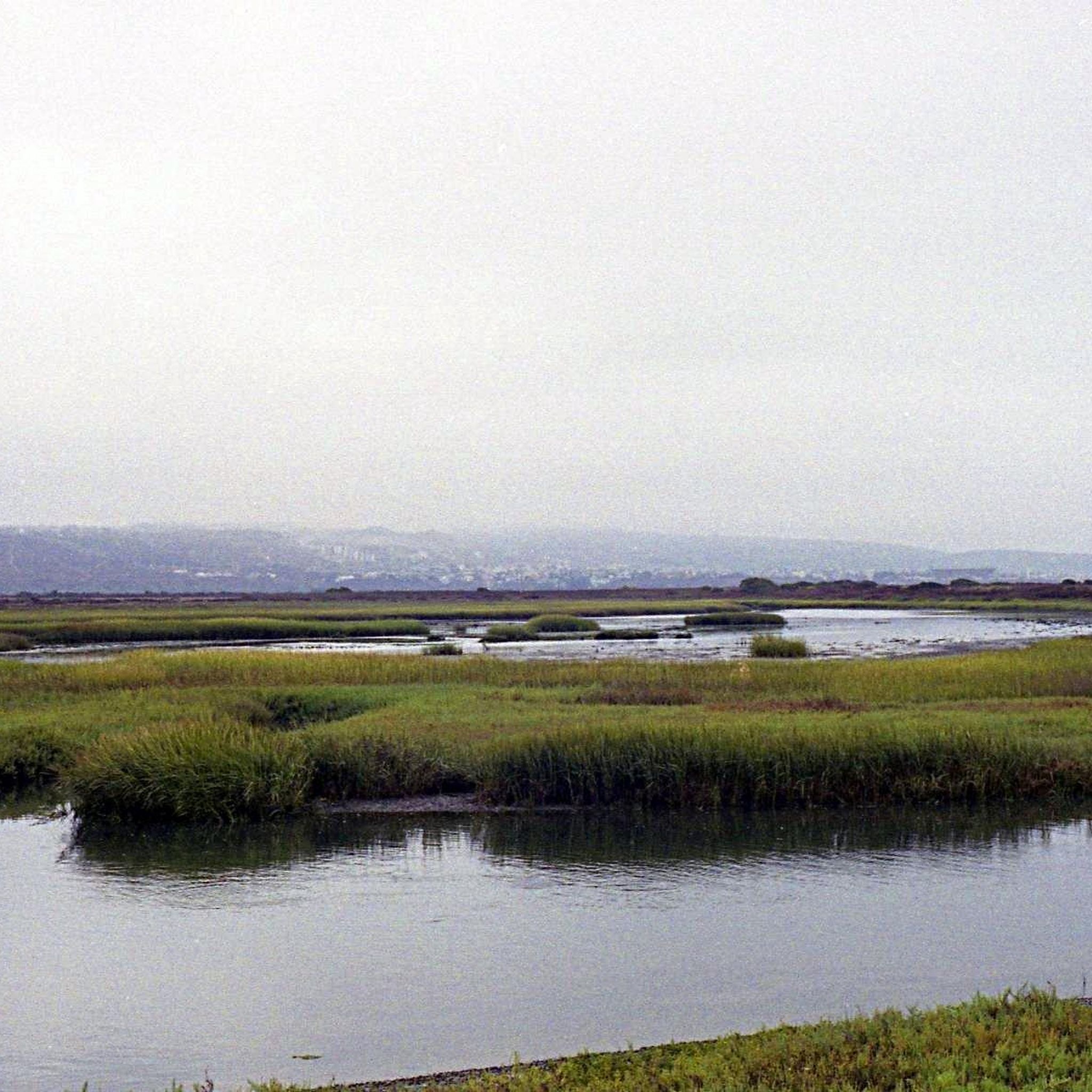
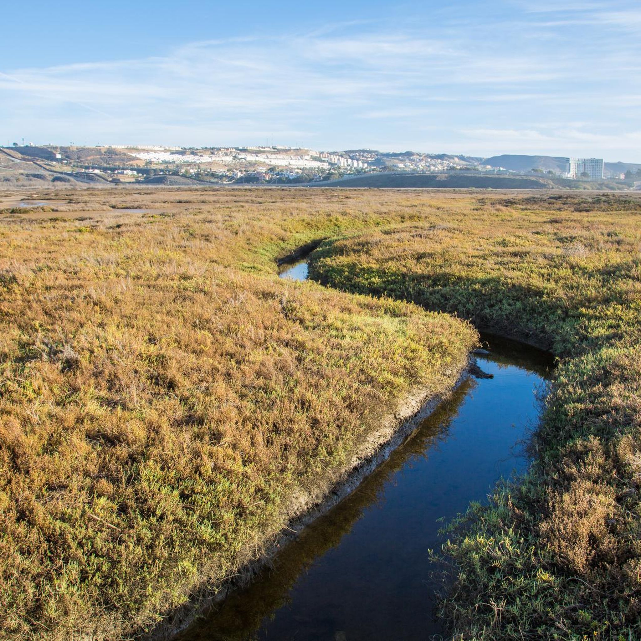
Road cycling routes in Tijuana Slough National Wildlife Refuge are situated within a 1,072-acre coastal wetland where the Tijuana River meets the Pacific Ocean. This area features flat terrain, characterized by marshlands and coastal environments, offering accessible paved surfaces for cyclists. The refuge is Southern California's last intact coastal estuary, providing views of the Tijuana River Valley and the Pacific Ocean. The Tijuana Slough NWR trail terrain is predominantly flat, making it suitable for various skill levels.
Best road cycling…
Last updated: August 21, 2026
4.0
(2)
63
riders
56.3km
02:30
120m
120m
Moderate road ride. Good fitness required. Mostly well-paved surfaces and easy to ride.
4.0
(2)
8
riders
14.7km
00:35
40m
40m
Easy road ride. Great for any fitness level. Mostly well-paved surfaces and easy to ride.

Sign up for free
4.0
(2)
44
riders
Easy road ride. Great for any fitness level. Mostly well-paved surfaces and easy to ride.
5.0
(2)
16
riders
17.9km
00:45
40m
40m
Easy road ride. Great for any fitness level. Mostly well-paved surfaces and easy to ride.
4.0
(2)
129
riders
Easy road ride. Great for any fitness level. Mostly well-paved surfaces and easy to ride.
Get access to more routes and recommendations from other explorers.
Sign up for free
Already have an account?
Our route recommendations are based on thousands of hikes, rides, and runs completed by other people on komoot.
Start today with a free account
Your next adventure awaits.
Login or Signup
Popular around Tijuana Slough National Wildlife Refuge

Tips from the Community

The view from this section of the bikeway is stunning. The vibrant green and blue colors of the water and skyline are breathtaking and worthy of a stop to take some incredible photos.
1
0

The view from the pier, whether from the old sailing ship or the aircraft carrier, is a dream. You can also get straight into the historic old town from this side.
1
0

The San Diego Bay National Wildlife Refuge is a wildlife refuge that was created to protect San Diego's historic coastal salt marsh and mudflat habitat. The refuge is home to a wide variety of wildlife. There are several bike paths that run along the coast, which give you great views of the water and a chance to spot wildlife.
0
0

Spanish Landing Park is home to a bit of history, a paved path, and a large beach area. The sandy beach is open to the public and looks out over the waters where the Spanish landed back in 1769.
0
0

The Bayshore Bikeway is a scenic cycling route encircling Coronado Island. Spanning approximately 10 miles, this popular trail offers cyclists stunning vistas of the San Diego Bay, downtown skyline, and the Coronado Bridge.
0
0
The Maritime Museum of San Diego, situated along the waterfront, boasts a remarkable collection of historic sea vessels. Visitors can explore a variety of ships, such as the Star of India, the HMS Surprise, and the Californian. Additionally, the museum offers interactive exhibits, guided tours, and educational programs focused on maritime history.
0
0
Glorietta Bay Park is a picturesque waterfront park offering stunning views and recreational opportunities. The park features grassy areas, palm trees, and walking paths. It also offers various activities such as fishing from the pier, playing in the grassy fields, or even launching kayaks or stand-up paddleboards from the park's shoreline.
0
0
The Bayshore Bikeway, a scenic cycling route, encircling Coronado Island. Spanning approximately 10 miles, this popular trail offers cyclists stunning vistas of the San Diego Bay, downtown skyline, and the Coronado Bridge.
0
0
Frequently Asked Questions
How many road cycling routes are available in Tijuana Slough National Wildlife Refuge?
There are 16 road cycling routes available in Tijuana Slough National Wildlife Refuge. These routes cater to various skill levels, with 9 easy, 6 moderate, and 1 difficult option.
What is the typical terrain for road cycling in the refuge?
The refuge features predominantly flat terrain, characterized by coastal wetlands and marshlands. Cyclists can enjoy scenic views of the Tijuana River Valley and the Pacific Ocean, as it is Southern California's only coastal estuary not interrupted by roads or rail lines.
What kind of surfaces can I expect on the cycling trails?
The refuge offers a network of trails, several of which are designated for both pedestrians and bicycles. You can expect paved or mostly paved surfaces suitable for road cycling, particularly on trails like the North McCoy Trail, South McCoy Trail, and the River Mouth Loop.
When is the best time of year to go road cycling in Tijuana Slough National Wildlife Refuge?
The refuge is a pleasant destination year-round. However, given the limited shade on most trails, it's advisable to consider cooler parts of the day during warmer months. The mild Southern California climate generally makes for good cycling conditions throughout the year.
Are there any specific rules for cycling in the refuge?
While cycling is permitted on designated trails, some areas may be restricted to minimize disturbance to wildlife. It's always recommended to check the refuge's official website for the most current trail accessibility information for cyclists. Pets are allowed on most trails but must be on a leash.
What can I see while road cycling in the refuge?
While cycling, you can enjoy scenic views of the Tijuana River Valley and the Pacific Ocean. The refuge is a vital stop on the Pacific Flyway, offering opportunities for birdwatching, with over 370 species of migratory and native birds, including federally listed threatened or endangered species.
Are there any family-friendly road cycling options?
Yes, the refuge offers several easy routes suitable for families. For example, the Glorietta Bay Park – Coronado Bayshore Bikeway loop from Coronado Cays is an easy 10.4-mile (16.8 km) trail that leads through coastal areas and offers bay views, often completed in about 38 minutes.
Where can I find parking for road cycling in the area?
The refuge has a visitor center that typically provides trail maps and information. Parking facilities are usually available near the visitor center or at designated trailheads. It's a good idea to check the official refuge website for specific parking locations.
What should I bring for a road cycling trip in the refuge?
Given the limited shade on most trails, it's advisable to bring sun protection (like sunscreen and a hat) and plenty of water. Binoculars can also enhance your experience for wildlife observation.
What do other road cyclists say about the routes in Tijuana Slough National Wildlife Refuge?
The routes in Tijuana Slough National Wildlife Refuge are highly rated by the komoot community, with an average score of 4.7 stars from over 200 reviews. Cyclists often praise the unique coastal wetland scenery and the opportunities for wildlife viewing.
Are there any longer road cycling routes for more experienced riders?
Yes, for those seeking longer rides, routes like the Otay Reservoir Dam – Lower Otay Reservoir loop from Palomar Street offer a moderate 50.7-mile (81.6 km) trail with extensive views around the reservoirs. Another option is the Sweetwater Bikeway – Sweetwater River loop from Palomar Street, a moderate 40.8-mile (65.6 km) path following a designated bikeway.
Can I find loop trails for road cycling?
Yes, many of the road cycling routes in the refuge and surrounding areas are designed as loops. Examples include the Glorietta Bay Park – Coronado Bayshore Bikeway loop from Coronado Cays and the View of San Diego Bay – Glorietta Bay Park loop from Coronado Cays, offering convenient circular routes.
Is the Tijuana Slough National Wildlife Refuge suitable for beginner road cyclists?
Absolutely. The refuge offers 9 easy routes, making it a great place for beginner road cyclists. The flat terrain and scenic views provide a comfortable and enjoyable experience for those new to road cycling or looking for a relaxed ride.
Most popular routes in Tijuana Slough National Wildlife Refuge

Get inspired with the komoot mobile app


Explore more
Browse the best Road cycling routes in other regions.
