The best running trails in Henry Coe State Park
12
runners
14
runs
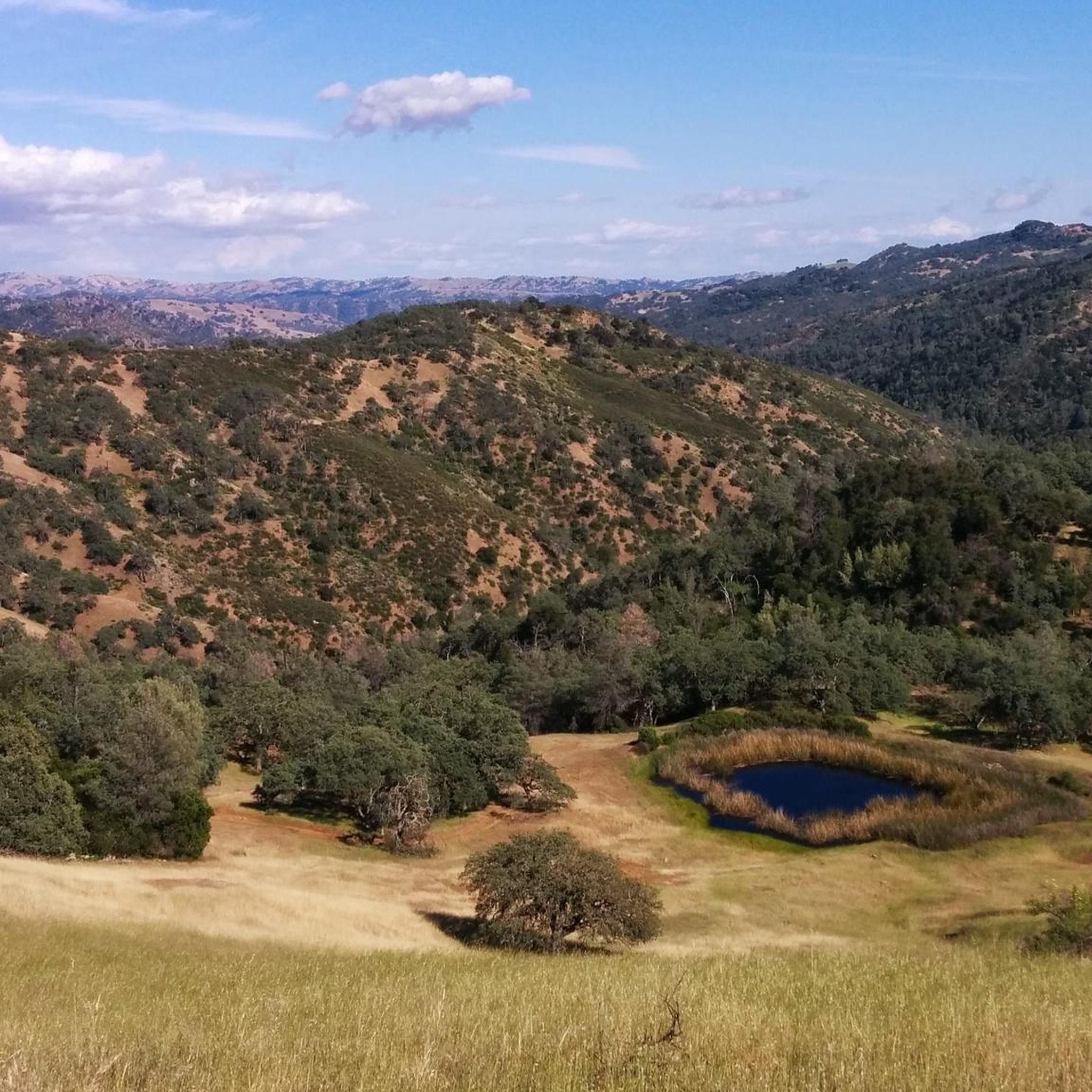
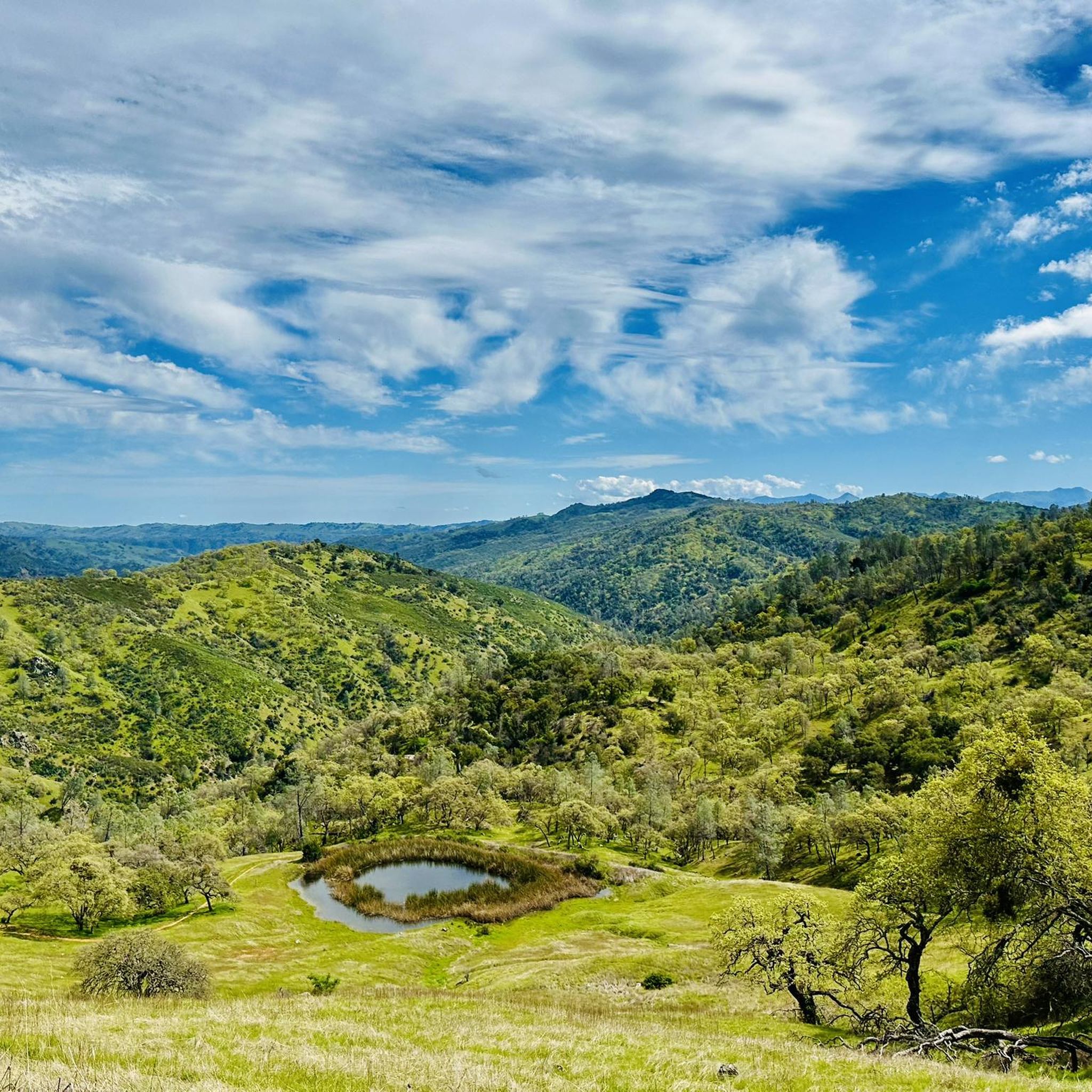
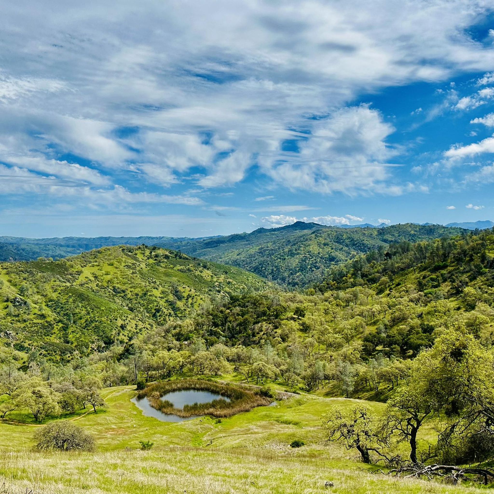
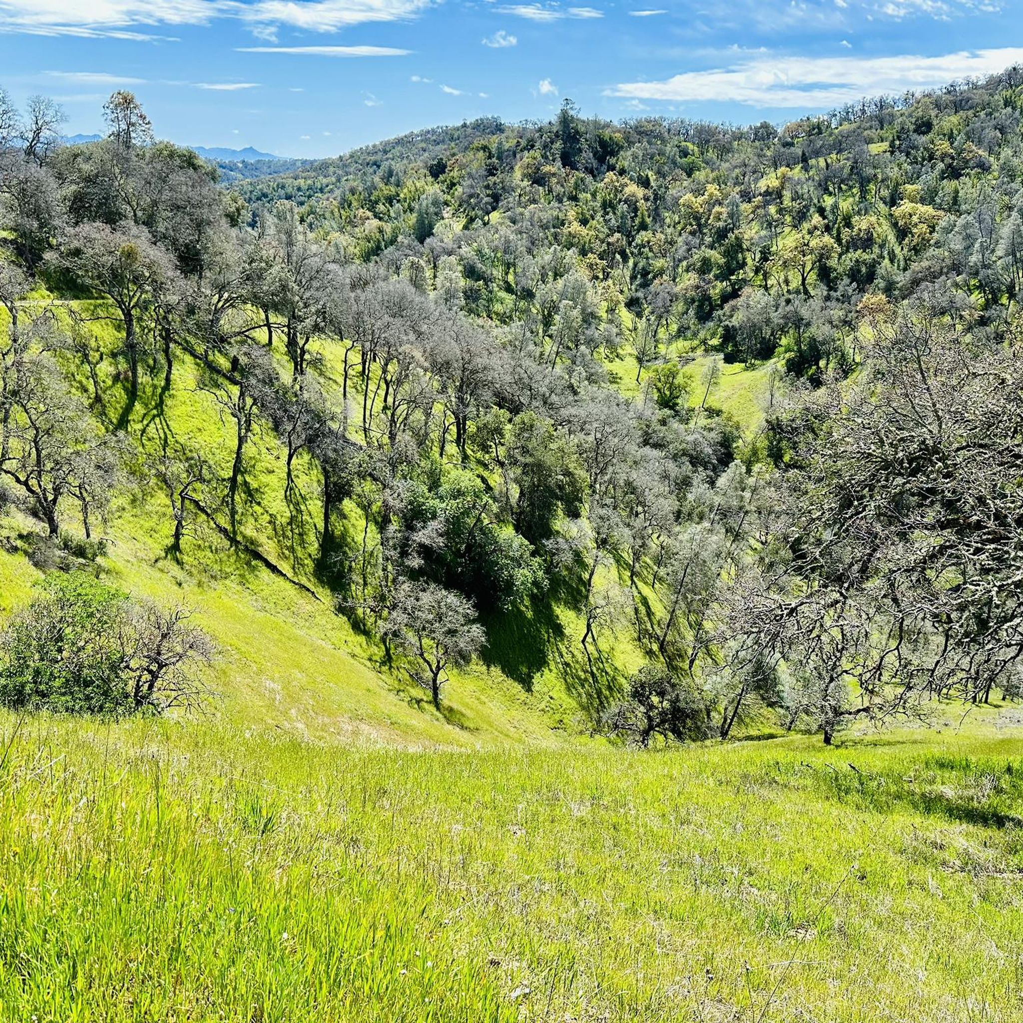
Jogging in Henry Coe State Park offers an expansive wilderness experience across over 87,000 acres of the Diablo Range. The region is characterized by a dramatic landscape of high ridges and steep-walled canyons, with elevations varying significantly from 710 feet to 3,560 feet. This rugged topography provides a challenging environment for running, featuring considerable elevation gains and descents across its extensive network of trails.
Best jogging routes in Henry Coe State Park
- The most popular jogging route is Flat Frog…
Last updated: July 7, 2026
3
runners
6.53km
00:52
220m
220m
Moderate run. Good fitness required. Mostly paved surfaces. Suitable for all skill levels.
1
runners
14.8km
01:51
500m
500m
Hard run. Very good fitness required. Mostly paved surfaces. Suitable for all skill levels.

Sign up for free
1
runners
7.47km
01:09
370m
370m
Hard run. Very good fitness required. Mostly accessible paths. Some sure footedness required.
1
runners
6.37km
00:40
60m
60m
Moderate run. Good fitness required. Mostly paved surfaces. Suitable for all skill levels.
1
runners
5.64km
00:45
140m
140m
Moderate run. Good fitness required. Mostly paved surfaces. Suitable for all skill levels.
Get access to more routes and recommendations from other explorers.
Sign up for free
Already have an account?
Our route recommendations are based on thousands of hikes, rides, and runs completed by other people on komoot.
Start today with a free account
Your next adventure awaits.
Login or Signup
Popular around Henry Coe State Park
Tips from the Community

Flat Frog, Fish, Forest, and Springs Trails begin here. Fish Trail is closed to bikes and horses, so may be a great option on a weekend for a more uninterrupted run. Alternatively, Forest Trail connects to Spring Trail, making for a nice loop that starts and finishes here.
0
0
Flat Frog Trail is a nice and flat singletrack trail deep in Henry Coe State Park. This is a multi-use trail open to bikes, hikers, equestrians, and of course trail runners. There is plenty of scenery change to keep things interesting from creeks to a few valley overlooks, and grasslands.
0
0
Gilroy Hot Springs is an old 5-star resort no longer in operation. Originally founded by a Mexican Shepard in the 1860's, the resort passed hands a few times and was finally purchased by California State Parks in 2003.
0
0

The road to get here is a good ride and normally quiet. You aren't supposed to ride any further than the junction with the Coit Road. The old hot springs resort was popular with Japanese-Americans in the late 1800s and early 1900s. You can see the remains of the old bath houses and hotel complex.
0
0
The Henry Coe State Park was donated to the Santa Clara County in 1953 by the daughter of the ranch owner. It's the largest state park in northern California. This Trail Head is a useful place top start a bike tour of the gravel roads in the back country.
0
0
The road to get here is a good ride and normally quiet. You aren't supposed to ride any further than the junction with the Coit Road. The old hot springs resort was popular with Japanese-Americans in the late 1800s and early 1900s. You can see the remains of the old bath houses and hotel complex.
0
0

Prior to WWII, there was a mineral springs resort near present-day China Hole. Although very little of that resort remains, China Hole remains a popular place to cool off or even take a dip, with water often reaching depths of 7 or 8 feet.
0
0
Originally named Pine Ridge Ranch by Henry Willard Coe, Jr., this historic cattle ranch once comprised over 12,000 acres. We can all thank Henry's daughter, Sada Sutcliffe Coe, for repurchasing the ranch and donating it for public use to Santa Clara County in 1953, after her brother had sold it to a private company in 1948.
1
1
Frequently Asked Questions
How many running routes are available in Henry Coe State Park?
Henry W. Coe State Park offers a diverse network of around 15 dedicated running routes on komoot. These range from easy paths to very challenging trails, ensuring options for various fitness levels. In total, the park boasts approximately 200 to 250 miles of trails suitable for running.
What kind of terrain can I expect on the running trails in Henry Coe State Park?
The park is known for its rugged and varied terrain, characterized by high ridges (2,000 to 3,000 feet) separated by steep-walled canyons. You'll encounter significant elevation gains and descents, with trails ranging from well-maintained dirt roads to narrow, rutted singletracks. This makes it an excellent training ground for trail runners.
Are there any easy running trails for beginners in Henry Coe State Park?
Yes, while many trails are challenging, there are easier options. The Gilroy Hot Spring Road route is one of the easier paths, offering a more gradual experience. Additionally, the Hunting Hollow area is noted for a relatively flat 5K/10K course along a dirt road, ideal for a casual run.
What are some challenging routes for experienced trail runners in the park?
For experienced runners seeking a strenuous workout, Henry Coe State Park delivers. The Jim Donnelly and Steer Ridge Trail Loop is a difficult 4.6-mile path with significant elevation changes. Another demanding option is the China Hole Loop, a 9.2-mile trail leading through steep canyons. The Middle Ridge/Poverty Flat Loop (11.1 miles with 2200 ft gain) and Wilson Camp Loop (12.9 miles with 2600 ft gain) are also popular for their challenging nature.
When is the best time of year to go running in Henry Coe State Park?
Spring, particularly from February through May, is a beautiful time to visit due to the abundant and vibrant wildflower displays. However, the park's diverse ecosystems offer changing scenery throughout the year. Be prepared for varying conditions depending on the season, especially regarding heat in summer and potential mud after winter rains.
Are there any circular running routes in Henry Coe State Park?
Yes, many of the park's trails are designed as loops, providing varied scenery without retracing your steps. Popular loop options include the Flat Frog Trail via Monument Trail loop, the Springs and Forest Trail Loop, and the longer China Hole Loop.
What natural features or landmarks can I see while running in the park?
Henry Coe State Park offers a wealth of natural beauty. You can explore diverse ecosystems including chaparral, grasslands, and oak woodlands. Notable features and trails include Flat Frog Trail, Middle Ridge Trail, and China Hole Trail. The Coe Ranch Headquarters is also a historical point of interest.
Are there any routes that pass by water features like lakes or streams?
Yes, the park encompasses parts of three major watersheds and features natural lakes and reservoirs. While many tributaries are seasonal, you can find picturesque spots along routes that pass by Mississippi Lake, Coit Lake, and Kelly Lake. China Hole is another popular destination with water features, often included in longer routes.
Is Henry Coe State Park dog-friendly for runners?
Henry W. Coe State Park has specific regulations regarding dogs. Generally, dogs are permitted on paved roads and in developed areas like campgrounds and picnic sites, but they are typically not allowed on most backcountry trails to protect wildlife. It's always best to check the official park website for the most current rules before bringing your dog.
Are there family-friendly running options in Henry Coe State Park?
While many trails are rugged, families can find suitable options. The relatively flat 5K/10K course in the Hunting Hollow area is a good choice for a more relaxed run with family. For shorter, less strenuous walks or jogs, look for trails closer to the main entrances or visitor centers that are less steep.
What should I know about trail conditions before heading out for a run?
Given the park's rugged nature, trail conditions can vary significantly. Many trails are dirt roads or singletracks, which can be rutted, overgrown, or muddy after rain. Always check local weather conditions and recent park advisories. Proper trail running shoes with good grip are highly recommended due to the varied and often steep terrain.
Where can I find parking and trailheads for running in Henry Coe State Park?
The main entrance and visitor center at Coe Ranch Headquarters typically offer parking and access to several trailheads. Other access points like Hunting Hollow also provide parking and trail access. It's advisable to consult a park map or the official park website to plan your starting point and parking, as some areas may require specific permits or have limited space.
What makes running in Henry Coe State Park unique compared to other areas?
Henry Coe State Park offers a truly wild and uncrowded experience as the largest state park in Northern California. Its expansive wilderness, dramatic landscape of high ridges and steep canyons, and diverse ecosystems provide a unique sense of solitude and an immersive outdoor adventure. The challenging topography also makes it an exceptional training ground for runners seeking significant elevation gains and descents.
Most popular routes in Henry Coe State Park
Most popular attractions in Henry Coe State Park

Get inspired with the komoot mobile app


Explore more
Browse the best Running Trails & Routes in other regions.
