The best cycling routes in Ed R. Levin County Park
4.6
(59)
1,357
riders
66
rides
Touring cycling routes in Ed R. Levin County Park traverse 1,558 acres within the Diablo Range foothills, offering diverse terrain for cyclists. The park features rolling grasslands and oak woodlands, providing a natural setting for rides. Its extensive trail system includes paved, dirt, and gravel roads, with options ranging from gentle routes with minimal elevation gain to challenging paths involving significant climbs.
Best touring cycling routes in Ed R. Levin County Park
- The most popular touring cycling route is Spring…
Last updated: July 9, 2026
3
riders
19.8km
01:10
50m
50m
Easy bike ride. Great for any fitness level. Mostly paved surfaces. Suitable for all skill levels.
2
riders
26.0km
01:37
200m
200m
Moderate bike ride. Good fitness required. Mostly paved surfaces. Suitable for all skill levels.

Sign up for free
5.0
(1)
57
riders
80.2km
05:12
1,080m
1,080m
Hard bike ride. Very good fitness required. Mostly paved surfaces. Suitable for all skill levels.
5.0
(1)
25
riders
103km
06:33
1,250m
1,250m
Hard bike ride. Very good fitness required. Mostly paved surfaces. Suitable for all skill levels.
15
riders
21.6km
01:39
220m
220m
Moderate bike ride. Good fitness required. Mostly paved surfaces. Suitable for all skill levels.
Get access to more routes and recommendations from other explorers.
Sign up for free
Already have an account?
Our route recommendations are based on thousands of hikes, rides, and runs completed by other people on komoot.
Start today with a free account
Your next adventure awaits.
Login or Signup


Other adventures in Ed R. Levin County Park

Tips from the Community

About a mile into Santa Clara county, if you know where to look, you might spot a bald eagle. Hopefully, someone with a really good camera will post a photo and tag the location.
0
0

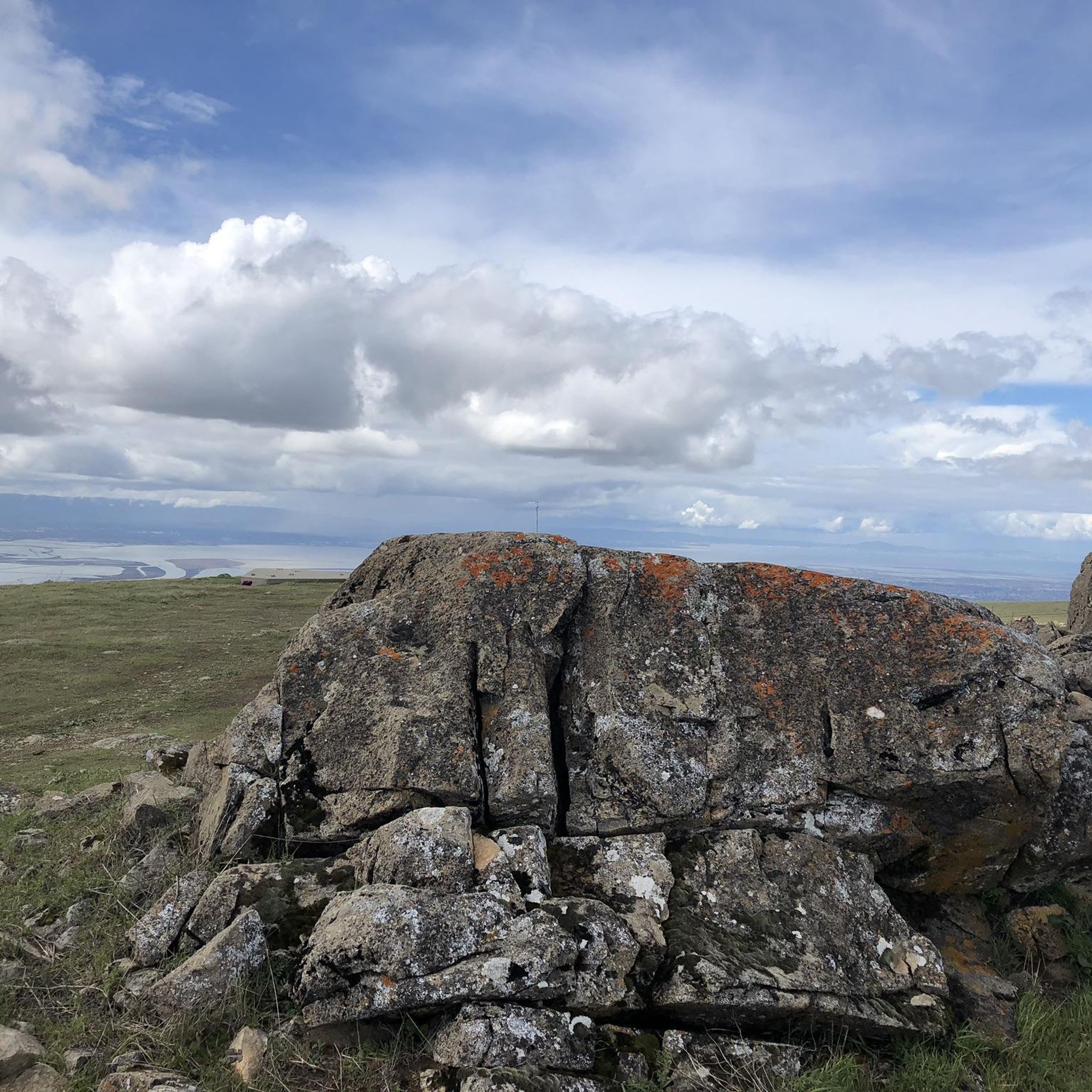
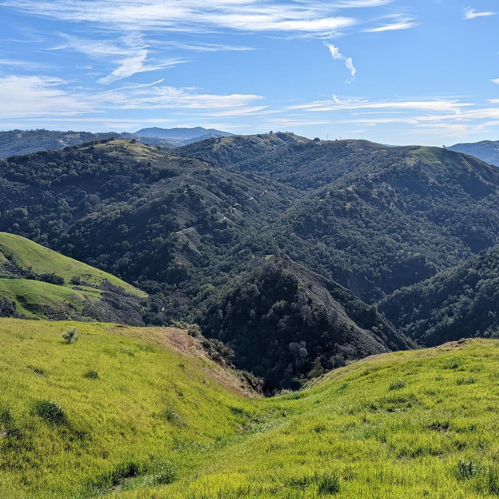
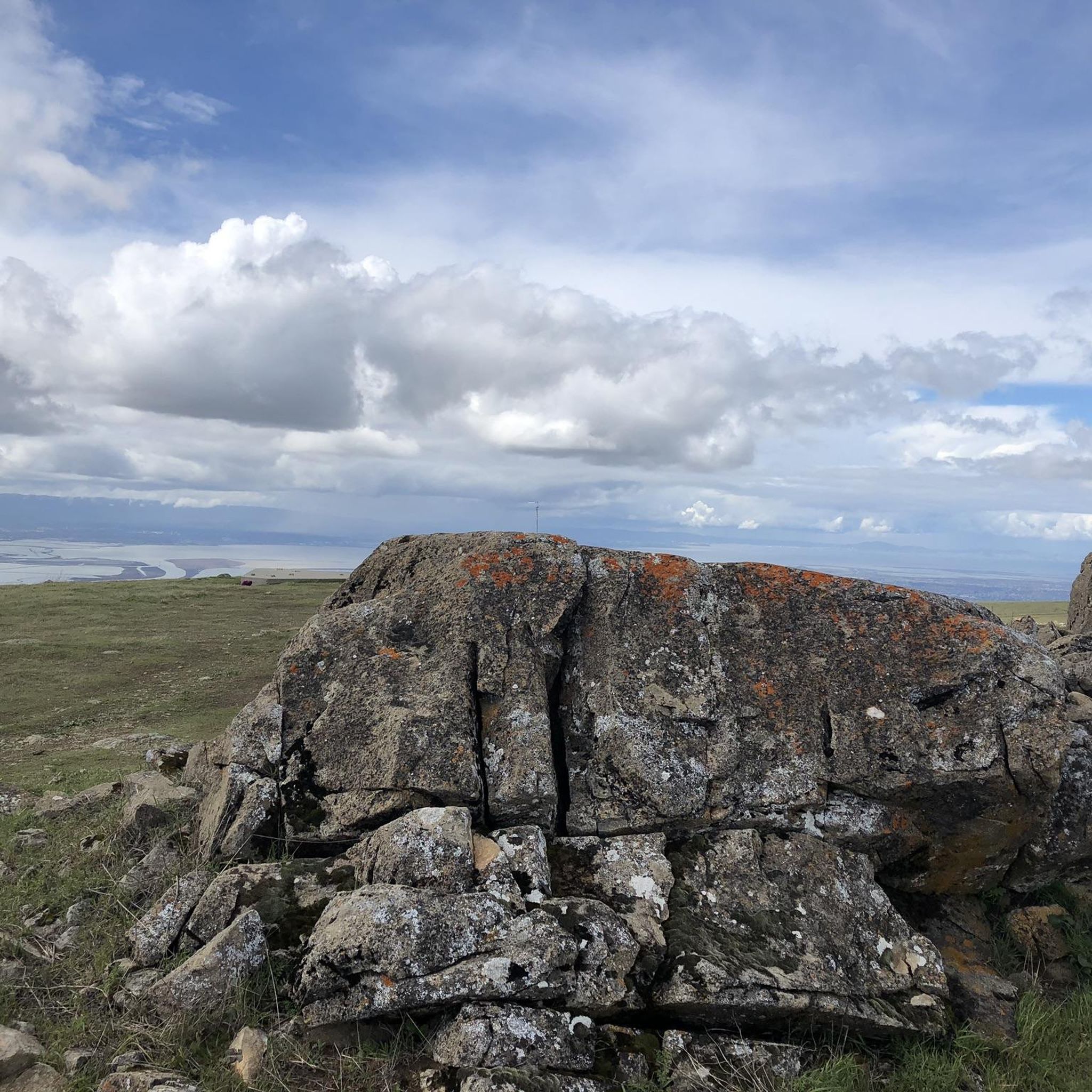
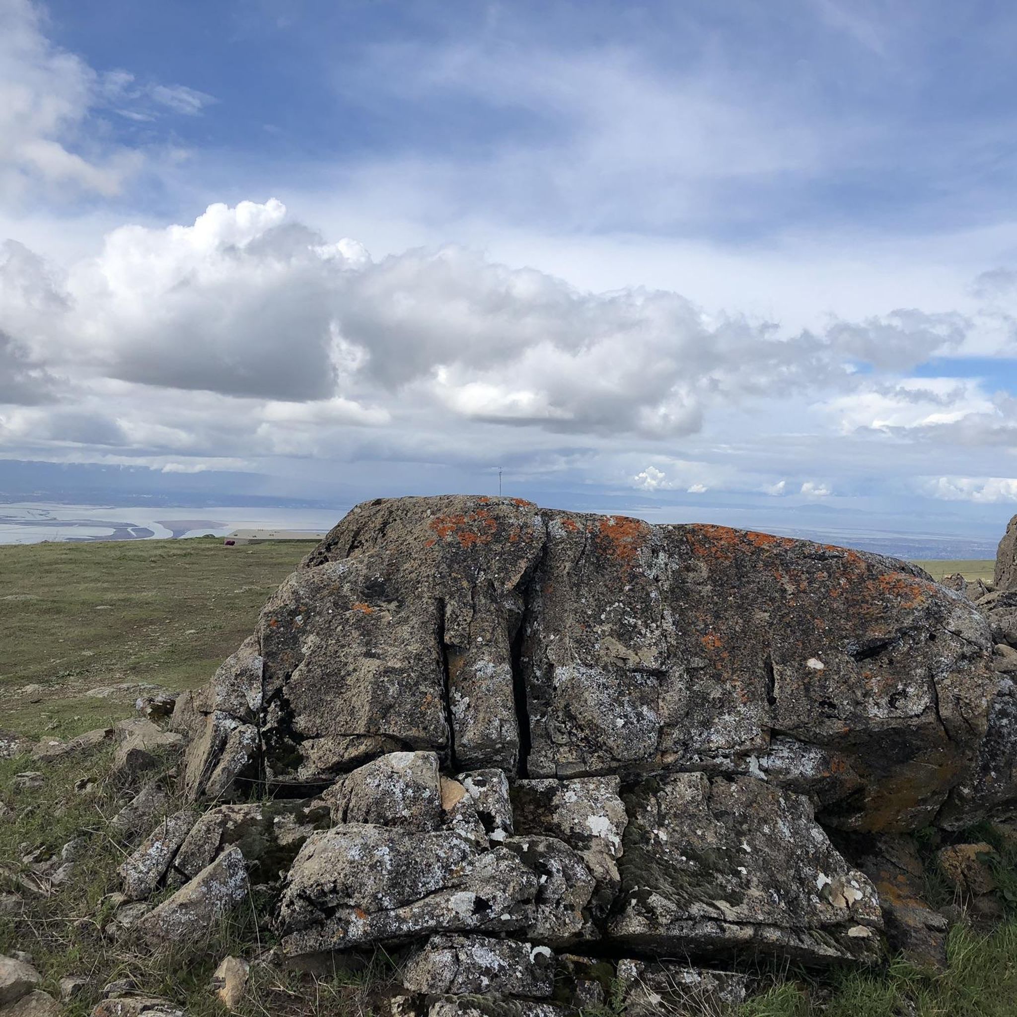
This a very well known bicycle route in Northern California, and there are already great details info about it online, here I just wanted to share some photos on the route.
0
0

Nestled in Fremont just north of San Jose, Old Mission San José, originally built by the Spanish in 1797, was painstakingly restored after decades of neglect. Visitors can step into history as they tour the original doors of the 1809 adobe church. Guided and self‑guided tours, the former being led by knowledgeable docents, bring the Rancho to life.
0
0

The Castlewood Country Club is a private 36-hole facility. The property dates back to the late 1800s and now offers tennis courts, Bocce courts, pool, fitness center, to go with the two golf courses.
0
0

Calfateras road begins by a robust climb, and then it changes to a series of switchbacks with spectacular views to the reservoir and surrounding park. The switchbacks alternate between downhill and moderate climbs, before a long downhill and flat terrain.
0
0

Riding south on Felter road from Calaveras after doing Polamares and and Calaveras Roads was a real challenge, especially since it was my first time! Get something to fuel up on at the Sunol Little Store!
0
0
This pedestrian bridge was completed in 2002 and offers pedestrians and cyclists away to travel away from traffic.
0
0

Alum Rock Park, established in 1872, is one of California's oldest municipal parks, spanning 720 acres. Visitors can enjoy hiking, biking, horseback riding, and family picnicking with amenities like picnic tables, barbecue pits, restrooms, and a playground in the mid-canyon area. The park is wheelchair accessible and open daily from 8 a.m. to half an hour after sunset, a great spot to explore year-round.
0
0
Frequently Asked Questions
How many touring cycling routes are available in Ed R. Levin County Park?
Ed R. Levin County Park offers a wide selection of touring cycling routes, with over 50 options to explore. These routes cater to various skill levels, including 15 easy, 19 moderate, and 23 difficult trails.
What kind of terrain can I expect on the touring cycling routes in Ed R. Levin County Park?
The park features diverse terrain, ranging from paved sections suitable for all skill levels to more challenging unpaved dirt and gravel roads. You'll encounter rolling grasslands and oak woodlands, with some routes offering significant elevation changes.
Are there any easy touring cycling routes suitable for beginners or families?
Yes, there are several easy touring cycling routes. For a more accessible ride with minimal elevation changes, consider the Veterans Plaza – Milpitas BART loop from Milpitas, which is 12.3 miles (19.8 km) long. The park's paved sections are generally suitable for less experienced cyclists.
What are some notable landmarks or natural features to see while cycling in the park?
Cyclists can enjoy several notable features. From Monument Peak, you'll find spectacular views of the valley floor and the San Francisco Bay. The park also features Spring Valley Pond and Sandy Wool Lake, which are picturesque reservoirs. During spring, large swathes of yellow wildflowers add to the scenic beauty, especially along trails like Monument Peak and Agua Caliente.
Are there any challenging touring cycling routes for experienced riders?
Absolutely. For experienced riders seeking a challenge, routes like the Spring Valley Pond – Calaveras Road loop from Milpitas offer substantial elevation gain, climbing over 700 meters across 35.1 km. Another demanding option is the Calaveras Reservoir Road – Pleasanton Ridge Regional Park loop from Cropley, which spans nearly 80 km with over 1000 meters of ascent.
What is the best time of year to go touring cycling in Ed R. Levin County Park?
The park is open year-round, but spring is particularly beautiful due to the abundance of wildflowers. The weather is generally pleasant for cycling, though it's always advisable to check local forecasts. Trails are accessible from sunrise to sunset.
Are there any loop touring cycling routes in Ed R. Levin County Park?
Yes, many routes in the park are designed as loops, offering varied scenery without retracing your path. An example is the Upper Penitencia Creek – Penitencia (Gross) Ponds loop from Great Mall, which takes you through scenic areas with views of the park's ponds.
What do other touring cyclists enjoy most about cycling in Ed R. Levin County Park?
The touring cycling routes in Ed R. Levin County Park are highly rated by the komoot community, with an average score of 4.6 stars from over 40 reviews. Cyclists often praise the diverse landscape, from rolling grasslands to oak woodlands, and the spectacular views from points like Monument Peak. The variety of trail difficulties also means there's something for everyone.
Can I find water facilities along the cycling routes?
Yes, the park provides some facilities. For instance, there is a water fountain available, which can be a convenient stop during your ride. It's always a good idea to carry sufficient water, especially on longer or more challenging routes.
Are there any routes that connect to the Bay Area Ridge Trail?
Yes, sections of the Agua Caliente Trail and the Calera Creek Trail within Ed R. Levin County Park are part of the Bay Area Ridge Trail alignment. This offers opportunities for extended, scenic rides that go beyond the immediate park boundaries.
What is the typical elevation gain on touring cycling routes in Ed R. Levin County Park?
Elevation gain varies significantly depending on the route. Easy routes, such as the Veterans Plaza – Milpitas BART loop, have minimal gains of around 46 meters. More difficult routes, like the Penitencia Creek Trail – Climb with beautiful views loop from Milpitas, can involve climbs of nearly 700 meters.
Most popular routes in Ed R. Levin County Park
Most popular attractions in Ed R. Levin County Park

Get inspired with the komoot mobile app


Explore more
Browse the best Cycling routes in other regions.
