The best walks and hikes in Vargas Plateau Regional Park
4.9
(152)
2,752
hikers
96
hikes
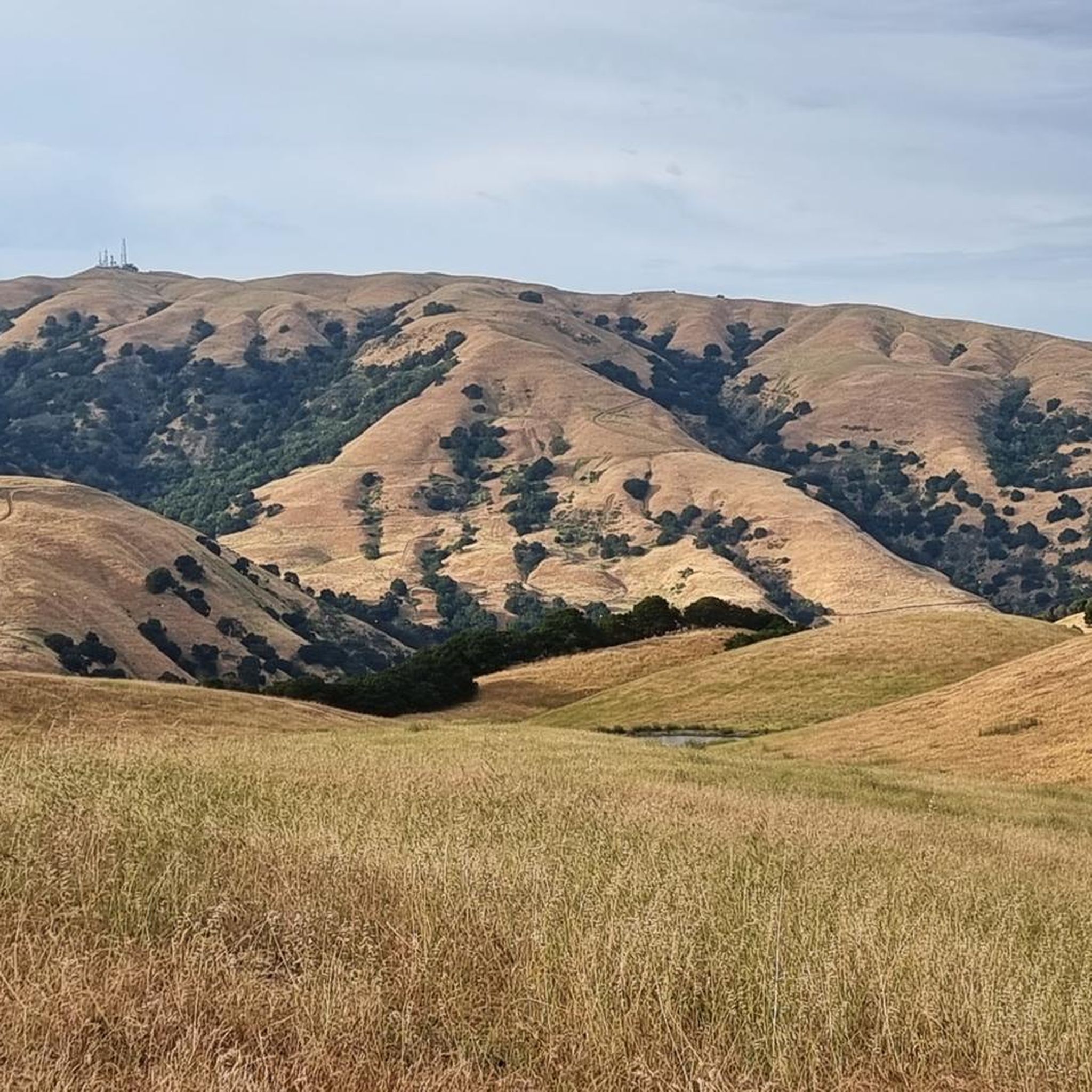
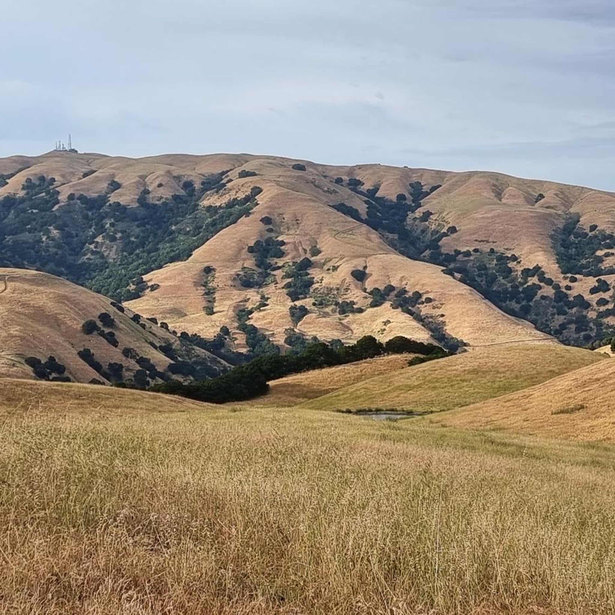
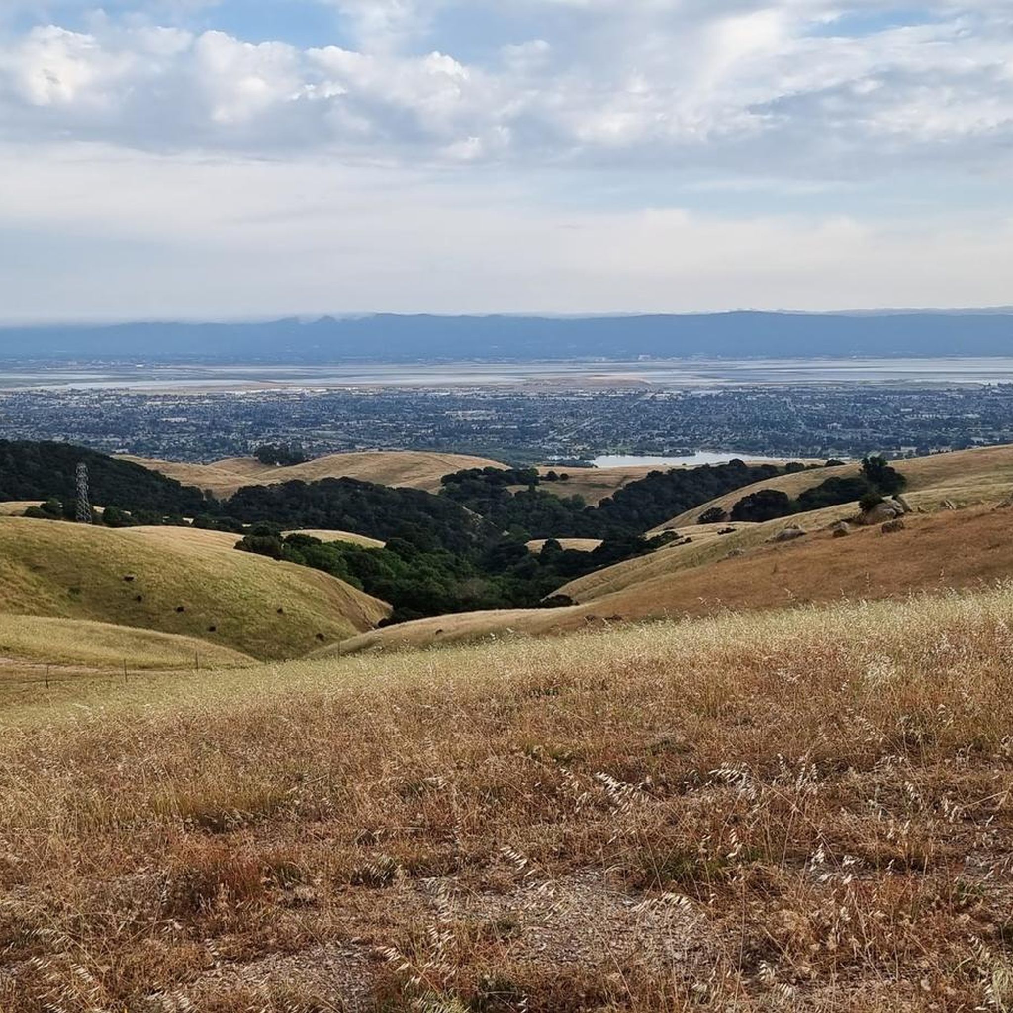
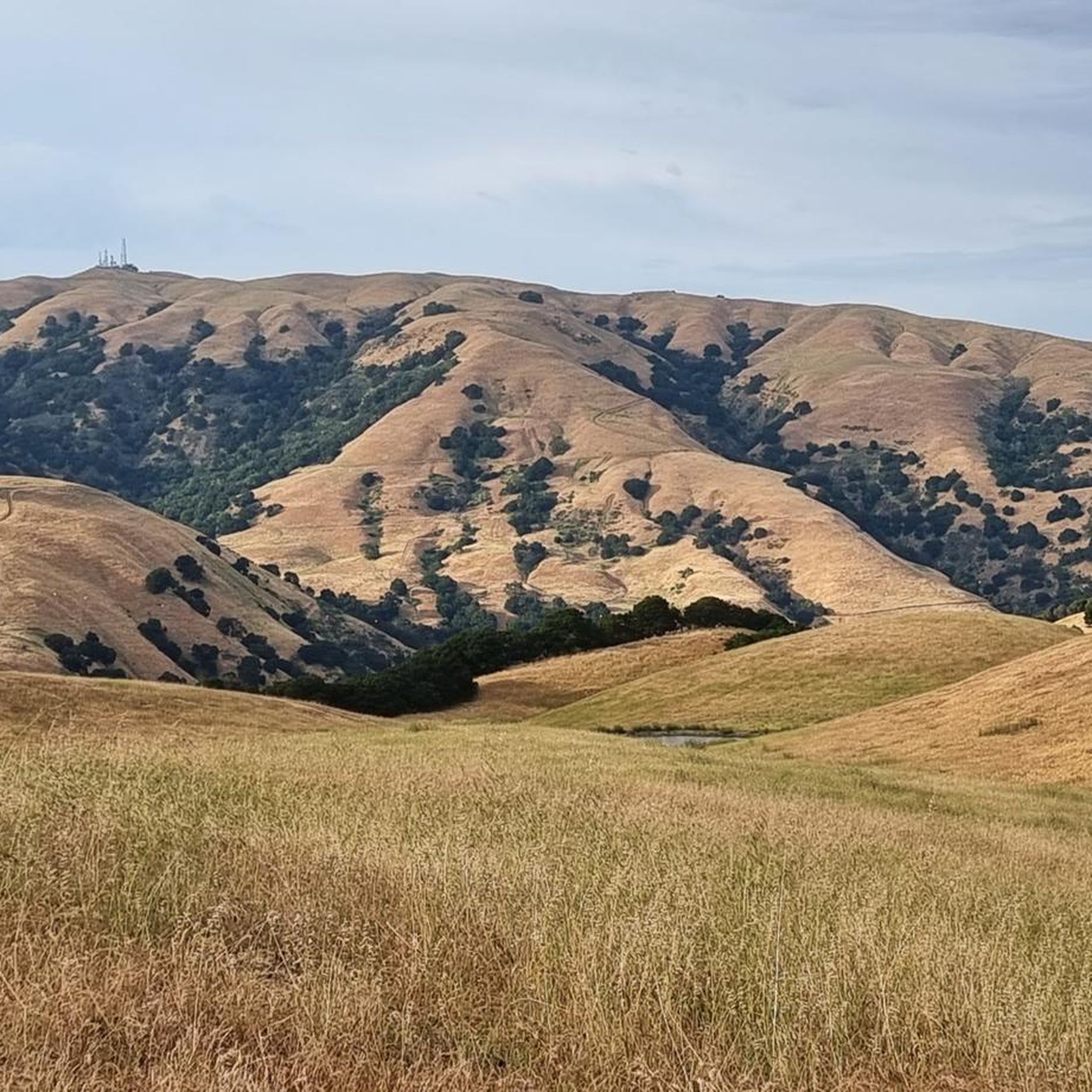
Hikes in Vargas Plateau Regional Park explore a landscape of rolling grasslands and oak woodlands in the Fremont hills. The park sits at an elevation of around 1,000 feet, providing views over the San Francisco Bay and Niles Canyon. The trail network consists of multi-use paths that cross open, pastoral land, often shared with grazing cattle.
Best hiking trails in Vargas Plateau Regional Park
- The most popular hiking route is Bay Area Ridge Trail Loop — Vargas Plateau Regional Park…
Last updated: July 21, 2026
1
hikers
5.47km
01:36
60m
300m
The Golden Eagle, Deer Gulch, and Cliff Trail Loop offers a delightful escape into the open hills of Vargas Plateau Regional Park, providing sweeping views across the South Bay. This…
4.8
(6)
53
hikers
6.26km
01:44
110m
110m
Hike the easy 3.9-mile Upper Ranch and Golden Eagle Loop in Vargas Plateau Regional Park for panoramic views of San Francisco Bay.

Sign up for free
4.8
(6)
53
hikers
6.28km
01:45
120m
120m
Hike the easy Golden Eagle and Upper Ranch Loop in Vargas Plateau Regional Park for panoramic San Francisco Bay views over 3.9 miles.
11
hikers
3.58km
01:01
80m
80m
Easy hike. Great for any fitness level. Easily-accessible paths. Suitable for all skill levels.
5.0
(2)
24
hikers
10.4km
03:09
350m
350m
The Vargas Plateau viewpoint loop offers a refreshing escape into the rolling, grass-covered hills of the East Bay, providing a sense of open space and tranquility. As you traverse this…
Get access to more routes and recommendations from other explorers.
Sign up for free
Already have an account?
Our route recommendations are based on thousands of hikes, rides, and runs completed by other people on komoot.
Start today with a free account
Your next adventure awaits.
Login or Signup
Tips from the Community

The Vargas Plateau is a very good example of nature at the gates of the city. At the top of the plateau you overlook Niles Canyon, Fremont, Union City, Newark and the San Francisco Bay.
0
0

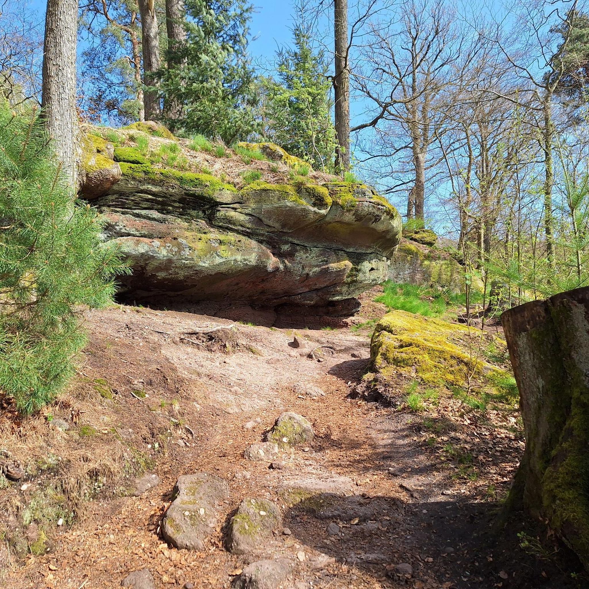
The Upper Ranch Trail is located in Vargas Plateau Regional Park, which contains a variety of wildlife habitats representative of California's inner coast ranges. The park encompasses grasslands, seasonal wetlands, stock ponds, drainage creeks that are perennial or ephemeral, coastal scrublands filled with low-growing shrubs, oak woodlands, and some rock outcrops. The diversity of habitats in Vargas Plateau Regional Park provides a glimpse into the natural ecosystems found in this region. Hiking the Upper Ranch Trail offers opportunities to explore and observe this unique landscape.
0
0
The Vargas plateau is a very good example of nature at the gates of the city. At the top of the plateau you overlook Niles Canyon, Fremont, Union City, Newark and the San Francisco Bay.
0
0
Frequently Asked Questions
Are dogs allowed in Vargas Plateau Regional Park?
Yes, dogs are welcome in the park. They must be kept on a leash at all times and you should be prepared to encounter grazing cattle on the trails.
Is there an entrance or parking fee for the park?
There are currently no entrance or parking fees to access Vargas Plateau Regional Park. Parking is available at the Vargas Plateau Staging Area, but it can fill up, so arriving early is recommended.
What are the park's opening hours?
Vargas Plateau Regional Park's hours vary seasonally. It's best to check the official East Bay Regional Park District website for the most current opening and closing times before your visit.
Are there any easy, family-friendly hikes in the park?
Yes, the park is well-suited for families. A great option is the Hiking loop from Vargas Plateau Regional Park. It's a relatively short 2.2-mile (3.6 km) walk through the park's gentle, rolling grasslands and takes about an hour to complete.
What kind of views can I expect?
The park is known for its panoramic vistas. From the trails along the upper ridges, you can see across the San Francisco Bay, Niles Canyon, and the cities of Fremont, Union City, and Newark. You'll also get great views of the surrounding Diablo Range, including Mission and Monument Peaks.
Are there any circular or loop trails available?
The park features several excellent loop trails. For a moderate challenge, consider the Hiking loop from Fremont. This 6.5-mile (10.5 km) route offers a more extensive exploration of the area's terrain with about 1,140 feet (348 m) of elevation gain.
What is the best time of year to see wildflowers?
Spring is the best season to see wildflowers in the park. During this time, the rolling green hills are often decorated with a variety of blooms, including California poppies, miniature lupine, and seep spring monkeyflowers.
Can I go trail running in Vargas Plateau Regional Park?
Absolutely. The park's network of multi-use trails with rolling hills and wide-open spaces makes it a popular spot for trail runners. The trails are generally well-maintained and offer a mix of gentle and moderate climbs.
What do other hikers say about Vargas Plateau Regional Park?
The park is highly rated by the komoot community, with an average score of 4.8 stars. Reviewers frequently praise the stunning panoramic views, the well-maintained trails, and the peaceful atmosphere of the open grasslands.
What kind of wildlife might I see?
Vargas Plateau is a haven for wildlife, especially birds of prey. Keep an eye out for golden eagles, red-tailed hawks, and great-horned owls. The park also provides a habitat for animals like bobcats and coyotes, and you will likely see cattle grazing near the trails.
How does hiking in Vargas Plateau compare to Mission Peak?
While both offer great views, they provide different experiences. Vargas Plateau generally has more moderate, rolling trails through open grasslands with a pastoral feel. Mission Peak is known for its single, consistently steep, and very challenging climb to the summit. Vargas Plateau is often considered a more relaxed alternative.
Are there any shorter hikes available?
Yes, there are several shorter options. For a quick and easy walk that still offers lovely scenery, try the Niles District loop to Alameda Creek. It's a flat, 2.4-mile (3.9 km) trail that's perfect for a casual stroll.
Most popular routes in Vargas Plateau Regional Park

Get inspired with the komoot mobile app


Explore more
Browse the best Hikes in other regions.
