The best walks and hikes in Monte Bello Open Space Preserve (Closed Area)
4.6
(427)
5,655
hikers
217
hikes
Hiking in Monte Bello Open Space Preserve (Closed Area) offers diverse landscapes, from rolling grasslands to dense creekside forests. The preserve encompasses the upper Stevens Creek watershed, featuring varied habitats including Douglas fir, live oak, and California bay forests. Hikers can experience significant elevation changes, with trails leading to Black Mountain, the highest point on Monte Bello Ridge, offering panoramic views. The region is also characterized by the San Andreas Fault rift valley, adding a unique geological element to its…
Last updated: July 14, 2026
10
hikers
16.4km
04:55
520m
520m
The Table Mountain via Long Ridge trail is a fantastic moderate hike that takes you on a diverse journey through the Long Ridge Open Space Preserve. You'll traverse shady woodlands…
6
hikers
11.0km
03:14
300m
330m
If you are seeking a hike that blends varied terrain with expansive views, the Long Ridge Loop is a fantastic option. This moderate 6.8-mile (11.0 km) route, with 984 feet…

Sign up for free
6.18km
01:49
50m
420m
The Grizzly Flat Trail to Canyon Trail offers an easy hiking experience, covering 3.8 miles (6.2 km) with a gentle elevation gain of 151 feet (46 metres). You can expect…
2.91km
00:48
50m
50m
Embark on the Chestnut Trail, an easy hiking route that guides you through the serene, mixed woodlands of Long Ridge Open Space Preserve. You will find yourself immersed in verdant…
4.7
(3)
38
hikers
6.70km
01:53
140m
140m
The Long Ridge Loop offers a delightful blend of ecosystems, transitioning from cool, shaded creekside forests to open grasslands and ridgetop environments. You'll wander through lush woodlands along Peters Creek…
Get access to more routes and recommendations from other explorers.
Sign up for free
Already have an account?
Our route recommendations are based on thousands of hikes, rides, and runs completed by other people on komoot.
Start today with a free account
Your next adventure awaits.
Login or Signup
Popular around Monte Bello Open Space Preserve (Closed Area)
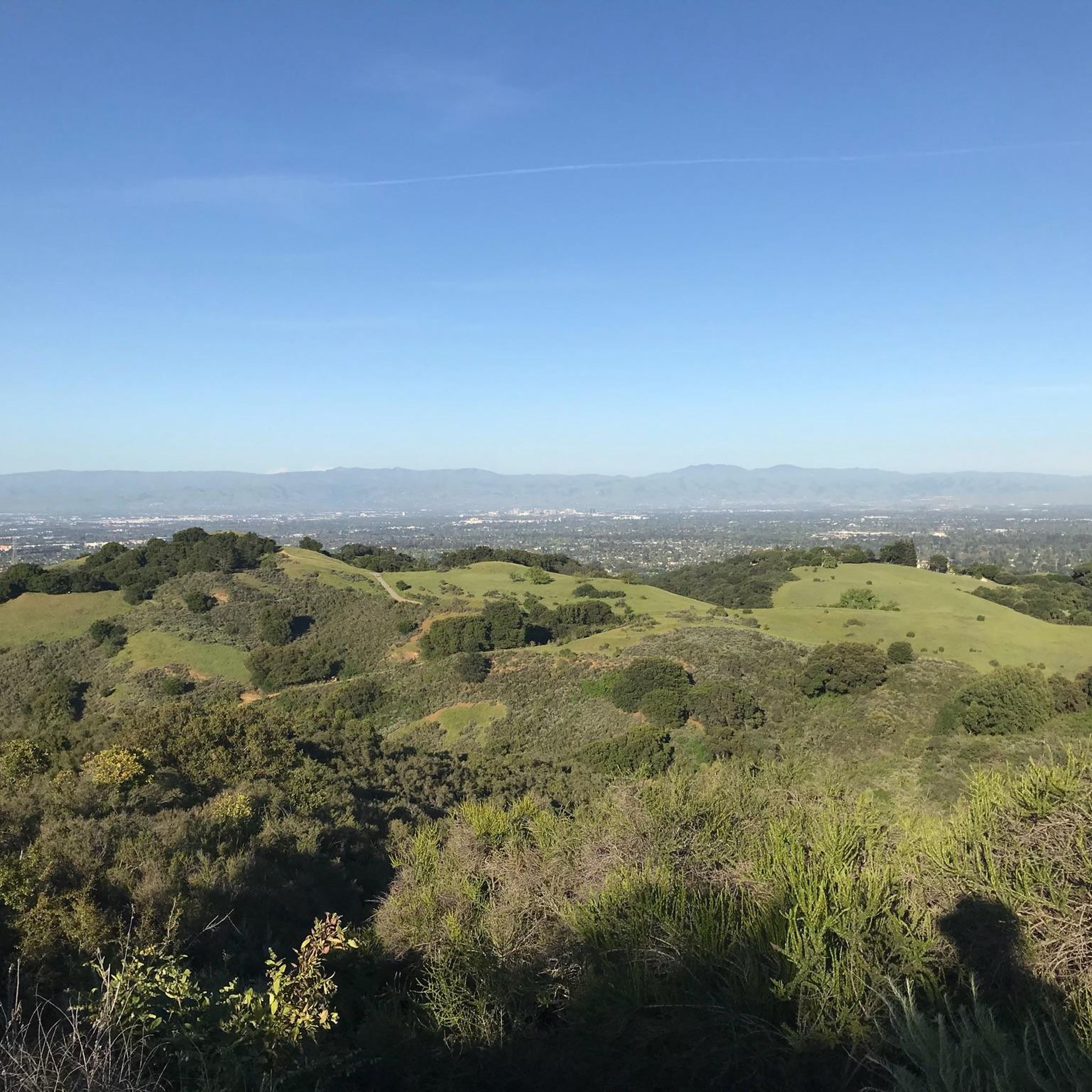
Running Trails in Monte Bello Open Space Preserve (Closed Area)
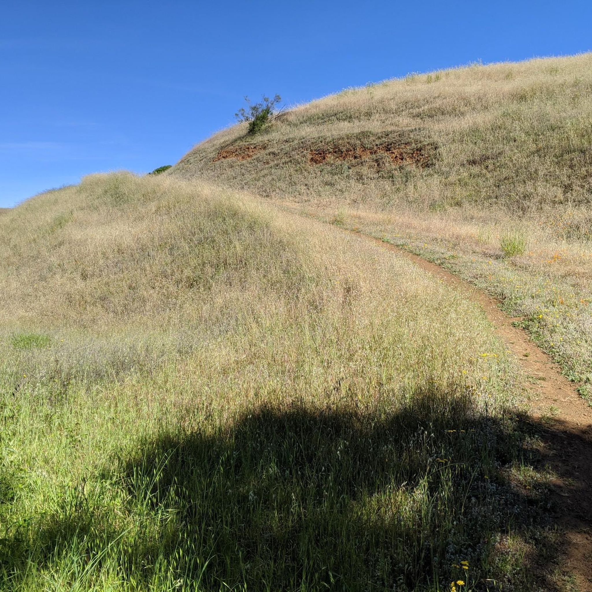
Road Cycling Routes in Monte Bello Open Space Preserve (Closed Area)
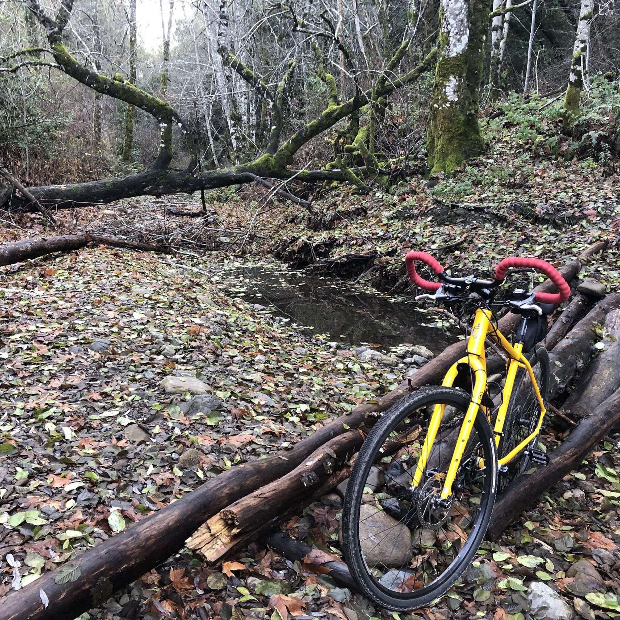
Cycling in Monte Bello Open Space Preserve (Closed Area)
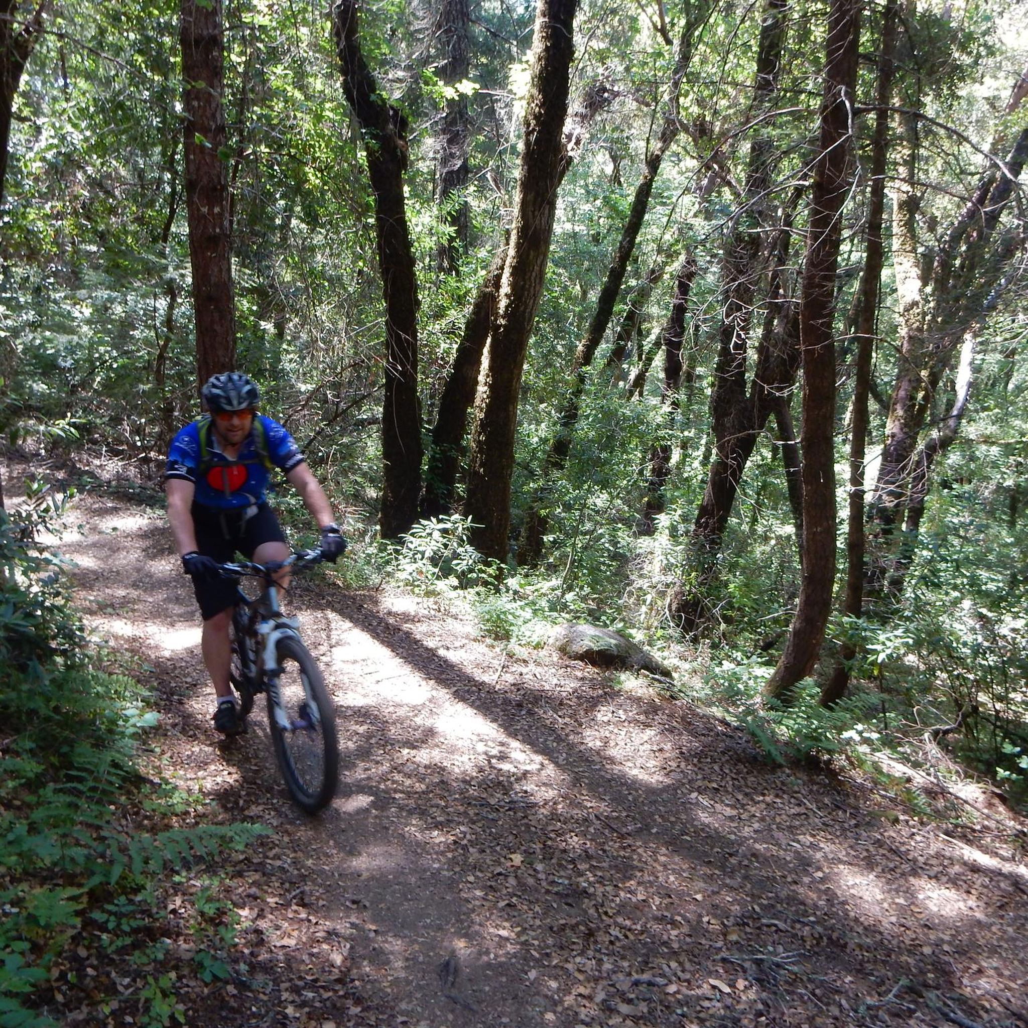
MTB Trails in Monte Bello Open Space Preserve (Closed Area)

Gravel biking in Monte Bello Open Space Preserve (Closed Area)
Tips from the Community

Turtle Rock is the highest and most prominent mountain in the area. From this viewpoint, you can enjoy a panoramic view of the surrounding mountains, especially stunning at sunset. Be cautious, as the trail is popular and often busy with hikers.
1
0

Long Ridge Open Space Preserve is a 2,035-acre preserve that follows Long Ridge in the Santa Cruz Mountains. There are a variety of trails that can be used for hiking, biking, or horse riding. This is a dirt trail area, so it is more suited for gravel bikes or a stout touring bike; a hardtail would be ideal. In addition, this is a preserve and not a park, so there are no facilities that you would normally expect in a park, such as bathrooms, drinking water fountains, picnic tables, snack bars, or stores.
1
0
At the convergence of the Long Ridge Trail and Long Ridge Road, you will find the Wallace Stegner Bench. This overlook was one of the favorite places of author and conservationist Wallace Stegner. There are panoramic views of the Santa Cruz Mountains and the Pacific Ocean to be had from here. However, if you come up by bike, the dirt trail is best suited for a touring bike with decent tires or a gravel bike.
1
0

Turtle Rock gets its name because it looks like a little turtle with its head sticking up. This is a stunning spot to take a break and enjoy the overlook of the rolling hills and clouds roaming through the valleys.
0
0

This trail follows along the forested slopes of the ridge through mostly grassland and is renowned for wildflowers in the springtime. Hazelnut shrubs, wild roses and strawberries also flourish along the slopes. The views to the west are spectacular, whether you visit early in the day or spend the evening on the stone bench next to the path to enjoy a sunset.
0
0
This trail leads you through a valley lush with ferns and large trees. The sounds of the nearby creek, filled with moss-covered boulders and small waterfalls, offer a sense of tranquility. After passing through the green meadows, you will come across a small pond where you may see California Newts on the side of the path. Once you reach the ridge top, you will enjoy views of the Pacific Ocean, especially on a clear day.
0
0
This bench commemorates author and conservationist Wallace Stegner, one of his favorite places. Open fields surround the stone bench and offer sweeping views of the Santa Cruz Mountains and the Pacific Ocean. Big leaf maples turn yellow in the fall, and the madrone trees produce bright red berries, adding to the landscape's beauty. With luck, you may see wild turkeys foraging for acorns. It's a great spot to take a break and enjoy the scenery.
1
0

Canyon Trail crosses Stevens Creek here. Flow is normally low, but waters might be high during wet winters.
1
0
Frequently Asked Questions
How many hiking trails are available in Monte Bello Open Space Preserve?
Monte Bello Open Space Preserve offers an extensive network of over 240 hiking trails, catering to various fitness levels. You'll find everything from easy walks to more strenuous climbs, ensuring a diverse experience for all visitors.
What kind of terrain can I expect when hiking in Monte Bello Open Space Preserve?
Hikers in Monte Bello Open Space Preserve will encounter diverse landscapes, including rolling grasslands, dense creekside forests, and open ridges. The preserve encompasses the upper Stevens Creek watershed, featuring varied habitats like Douglas fir, live oak, and California bay forests. You can also expect significant elevation changes, particularly on trails leading to higher points.
Are there any trails with panoramic views?
Yes, many trails offer spectacular panoramic views. Black Mountain, the highest point on Monte Bello Ridge, provides incredible vistas of the Santa Clara Valley, Mount Hamilton, San Francisco, Silicon Valley, and even the Pacific Ocean on clear days. Other trails also offer expansive views of the mountains and the San Francisco Bay, especially scenic during the 'golden hour'.
Can I bring my dog on the trails?
The Midpeninsula Regional Open Space District has specific rules regarding dogs. Generally, dogs are permitted on designated trails within the preserve, but they must be on a leash at all times. It's always best to check the official preserve guidelines before your visit to confirm which trails are dog-friendly.
Are there any family-friendly hiking options?
Yes, the preserve offers trails suitable for families. The Stevens Creek Nature Trail is a self-guided, 3-mile loop featuring interpretive signs, making it an engaging option for all ages. An easy-access portion of this trail also leads to a dramatic vista point. For a moderate family hike, consider the Long Ridge Loop, which navigates through varied terrain.
What are the best times of year to hike in Monte Bello Open Space Preserve?
Monte Bello Open Space Preserve is enjoyable year-round. Spring is particularly vibrant, with grasslands coming alive with a display of wildflowers. Winter offers roaring streams and clear views after rains, while the 'golden hour' in any season makes the tall, golden grasses glow beautifully. Always check weather conditions before heading out.
Are there any unique geological features to see?
Absolutely. The preserve lies within the rift valley of the San Andreas Fault, offering a unique geological feature to explore. You can particularly observe this along sections of the Stevens Creek Nature Trail, providing a fascinating insight into the region's seismic activity.
Is there parking available at the trailheads?
Yes, parking is available at various trailheads within Monte Bello Open Space Preserve. The main parking areas are typically well-marked. It's advisable to arrive early, especially on weekends, as spots can fill up quickly.
Are permits required for any activities or areas?
While most day-use hiking does not require a permit, the Black Mountain Backpack Camp, which is the only campsite within the Midpeninsula Regional Open Space District, does require a permit for overnight stays. If you plan to backpack, ensure you secure the necessary permit in advance.
What kind of wildlife might I encounter?
Monte Bello Open Space Preserve is home to a rich array of wildlife. Hikers might spot animals such as coyote, bobcat, deer, and badger. Mountain lions are also present, though rarely seen. The preserve's diverse ecosystems, including excellent riparian corridors, support this varied wildlife.
Are there any loop trails for a varied experience?
Yes, loop trails are a popular way to experience the preserve's diverse scenery. The Long Ridge Loop is a moderate 6.8-mile path that navigates through varied terrain, including forested sections and open ridges. The Stevens Creek Nature Trail is also a 3-mile loop, perfect for a shorter, interpretive walk.
What do other hikers enjoy most about Monte Bello Open Space Preserve?
The area is highly rated by the komoot community, with an average score of 4.6 stars from over 430 reviews. Reviewers often praise the preserve's diverse landscapes, from rolling grasslands to dense creekside forests, and the spectacular panoramic views from elevated points like Black Mountain. The variety of trails catering to different abilities is also frequently highlighted.
Can I connect to other preserves from Monte Bello Open Space Preserve?
Yes, Monte Bello Open Space Preserve acts as a crucial link, connecting with other preserves such as Skyline Ridge Open Space Preserve, Los Trancos Open Space Preserve, and Rancho San Antonio Open Space Preserve. This connectivity allows for a wide array of longer hiking combinations for those looking to extend their adventures.
Most popular routes in Monte Bello Open Space Preserve (Closed Area)

Get inspired with the komoot mobile app


Explore more
Browse the best Hikes in other regions.
