Felton Station Open Space Preserve (Closed)
Felton Station Open Space Preserve (Closed)
The best MTB trails in Felton Station Open Space Preserve (Closed)
4.7
(117)
643
riders
35
rides
Mountain biking in Felton Station Open Space Preserve (Closed) focuses on nearby alternatives within the Santa Cruz Mountains and Santa Clara County. The region is characterized by varied terrain, including forested hillsides, reservoir loops, and ridge trails. These routes offer a mix of elevation changes and scenic views, providing diverse options for mountain bikers.
Best mountain bike trails in Felton Station Open Space Preserve (Closed)
- The most popular mountain bike trail is Bay Area Ridge Trail: Sanborn to Saratoga Gap…
Last updated: September 1, 2026
5.0
(20)
40
riders
34.8km
03:24
800m
800m
Moderate mountain bike ride. Good fitness required. Suitable for all skill levels.
4.8
(41)
76
riders
25.8km
02:30
600m
600m
Moderate mountain bike ride. Good fitness required. Suitable for all skill levels.

Sign up for free
5.0
(1)
33
riders
Moderate mountain bike ride. Good fitness required. Suitable for all skill levels.
5.0
(1)
32
riders
Moderate mountain bike ride. Good fitness required. Suitable for all skill levels.
4.9
(27)
136
riders
Moderate mountain bike ride. Good fitness required. Suitable for all skill levels.
Get access to more routes and recommendations from other explorers.
Sign up for free
Already have an account?
Our route recommendations are based on thousands of hikes, rides, and runs completed by other people on komoot.
Start today with a free account
Your next adventure awaits.
Login or Signup
Popular around Felton Station Open Space Preserve (Closed)
Tips from the Community

This is not a very exciting trail to hike. It’s pretty much a trail surrounded by thick walls of vegetation, with almost no opportunity to view your surroundings. The trail is 70% rocks/gravel, and 30% hard packed clay, so avoid wearing snickers
0
0

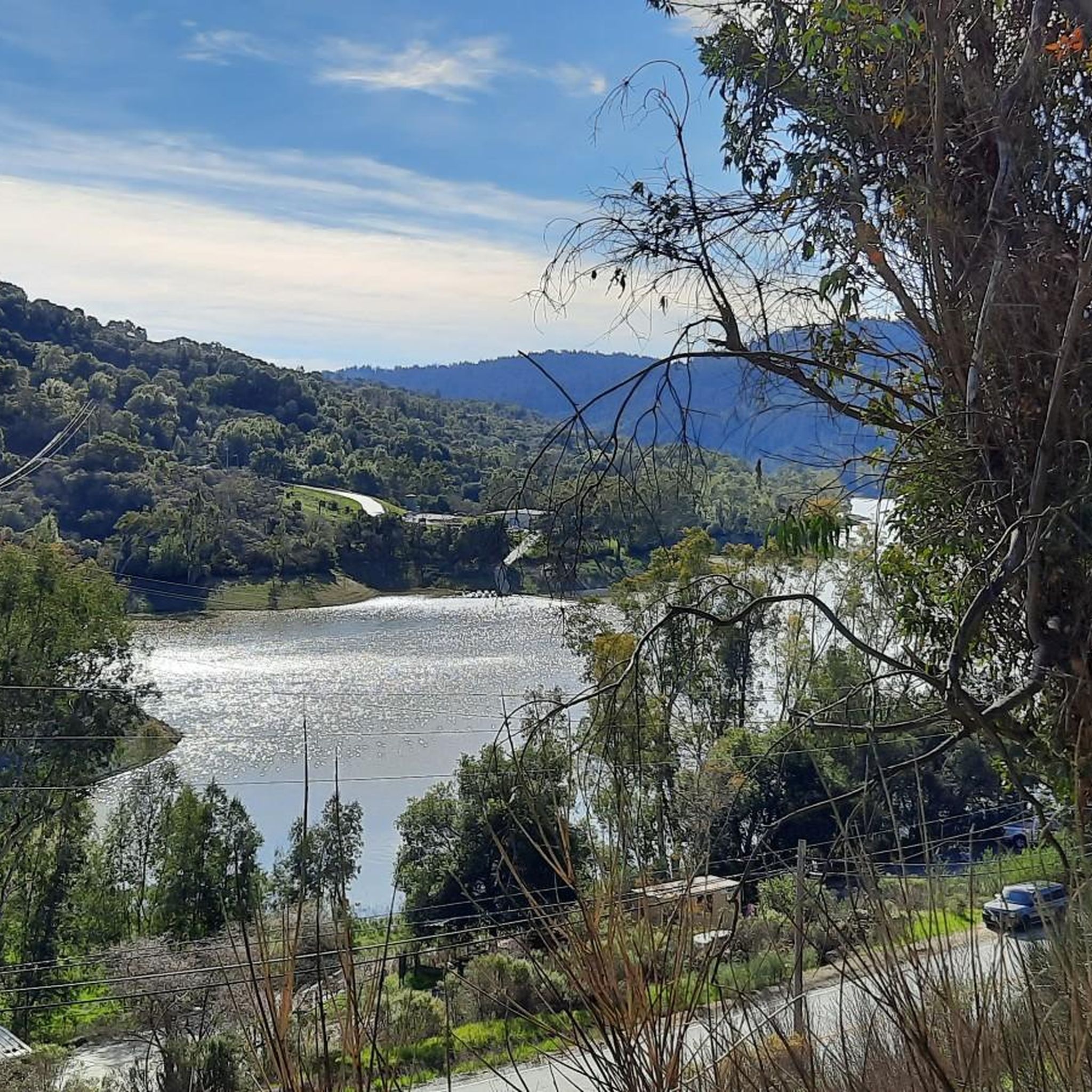
The Lake Ranch Reservoir is nice and peaceful to run, walk, hike, or bike along. There is a picnic table on the north side of the pond that you could rest at. Since the water is in a small valley, you may want to bring bug spray in the spring/summer months.
0
0

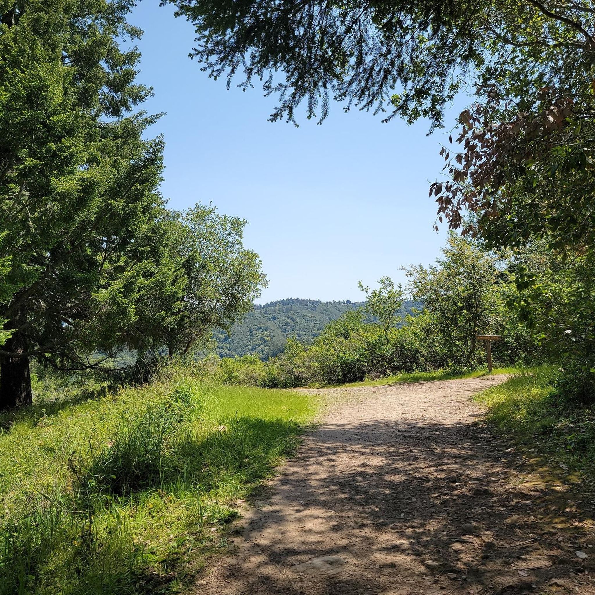
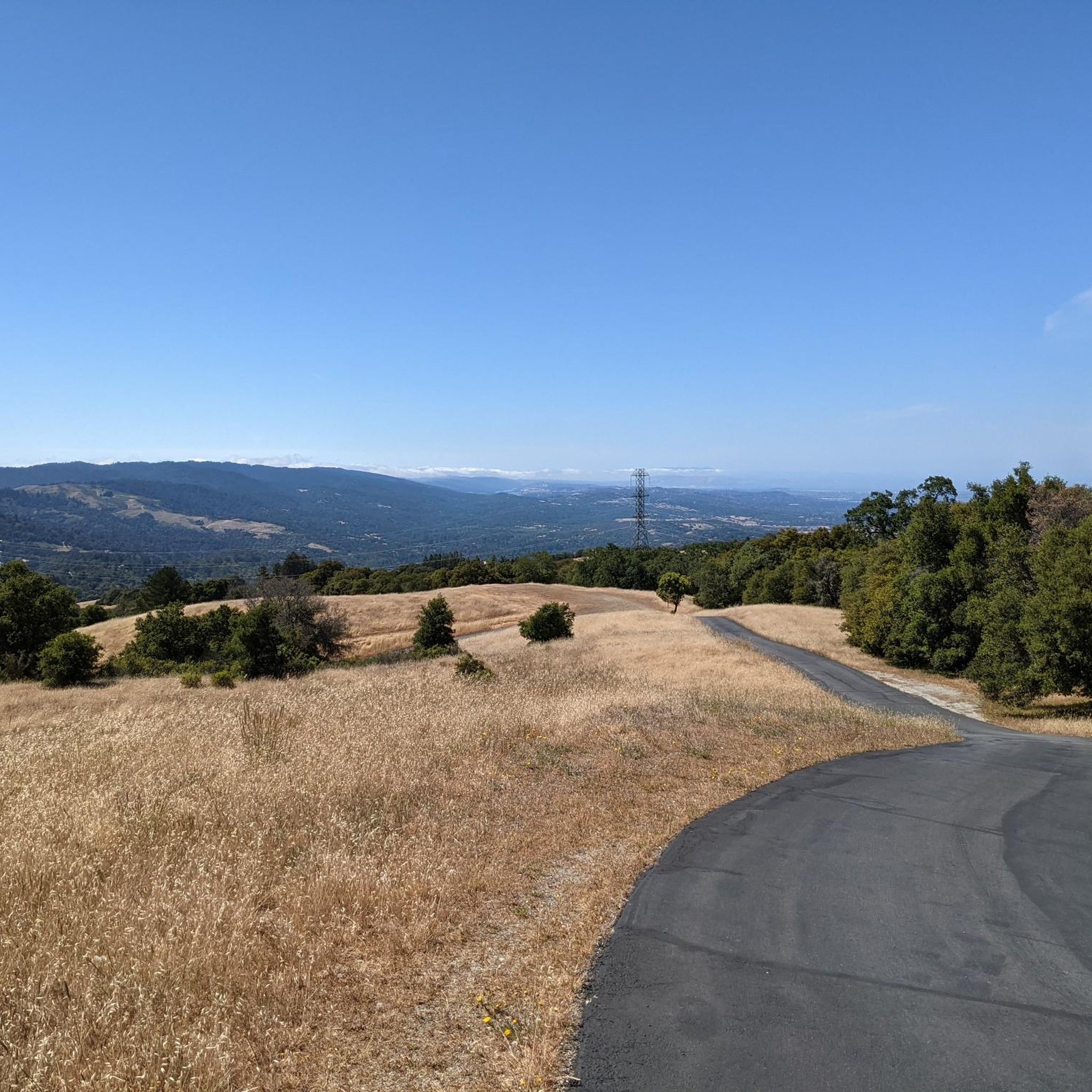
From here, you get a great view of the forest and valley, with the Santa Clara Mountains in the background. It’s a nice spot to stop for a picnic and take in the scenery. The trail continues upward, but this spot is perfect if you’re just looking for a good viewpoint.
0
0

Forbes Mill Museum, housed in a two-story building of the original 1854 flour mill, offers a glimpse into Los Gatos' history. Built by James Alexander Forbes as California's first commercial flour mill, over the years, it served various roles, including a power plant and a PG&E substation. Saved from demolition in 1982, the building now features historical exhibits as part of New Museum Los Gatos.
0
0

From the top of the dam you get splendid views out across Lexington Reservoir. To the north you overlook the winding end of the Los Gatos Creek Trail, which connects to the Jones Trail across from the restroom just up the road. The dam itself was constructed in 1952 and stands at nearly 200 feet tall.
0
0
The Kennedy Road Sierra Azul Trailhead has a small parking area that fits about three cars, depending on size, and offers a shaded starting point. A portable toilet is available at the trailhead, and additional parking can be found at the top of Top of the Hill Road.
1
0

The Peak is a 3,005-foot mountain in Santa Clara County. The high point is marked by a large mossy rock, a short distance away from the end of the trail. This is a great, challenging summit for any mountain biker.
1
0

Indian Rock, a natural climbing spot, is located at the entrance of the Sanborn-Skyline County Park. The rock consists of Sandstone, but don't have the red colors that are so commonly found in the American southwest.
0
0
Frequently Asked Questions
What happened to mountain biking in Felton Station Open Space Preserve?
Felton Station Open Space Preserve is currently closed for mountain biking. This guide focuses on alternative trails in the surrounding Santa Cruz Mountains and Santa Clara County that offer similar experiences and diverse terrain.
What are the best alternatives for mountain biking near Felton Station Open Space Preserve?
The Santa Cruz Mountains and Santa Clara County offer numerous alternatives. Popular options include the Bay Area Ridge Trail: Sanborn to Saratoga Gap, known for its significant elevation gain, and the Lake Ranch Reservoir – Summit of Sanborn County Park loop from El Sereno, which provides scenic reservoir views.
Are there mountain bike trails suitable for beginners in the Santa Cruz Mountains area?
Yes, there are several easy trails. For instance, the Camden Ponds – Vasona Reservoir loop from Los Gatos is an easy 7.8-mile trail that takes about 40 minutes to complete, leading through urban parks and alongside reservoirs.
Are there challenging mountain bike trails for experienced riders?
Yes, the region offers challenging routes. Out of 29 available tours, 9 are rated as difficult, providing significant climbs and technical sections for advanced mountain bikers looking for a demanding ride.
Can I find family-friendly mountain bike trails in this region?
Many of the easier and moderate trails are suitable for families, especially those that are shorter and have less elevation gain. The Camden Ponds – Vasona Reservoir loop from Los Gatos is a good example of a relatively flat and accessible route.
Are dogs allowed on mountain bike trails in the Santa Cruz Mountains?
Dog policies vary by specific park and preserve within the Santa Cruz Mountains and Santa Clara County. It's essential to check the regulations for each individual trail or park before heading out with your dog, as some areas may require leashes or prohibit dogs entirely.
Are there mountain bike loop trails available?
Yes, many routes in the area are designed as loops. Examples include the Lake Ranch Reservoir – Summit of Sanborn County Park loop from El Sereno and the Collords Peak – Kennedy Trail loop from Oak Meadow, offering varied scenery and return to your starting point.
What is the typical length and duration of mountain bike trails in this area?
Trail lengths and durations vary significantly. You can find shorter, easy loops like the Camden Ponds – Vasona Reservoir loop at 7.8 miles (12.5 km) taking about 40 minutes, up to longer, more challenging rides such as the Bay Area Ridge Trail at 21.6 miles (34.8 km) which can take over 3 hours.
When is the best time of year to go mountain biking in the Santa Cruz Mountains?
The Santa Cruz Mountains generally offer good mountain biking conditions year-round, but the best time is typically during the spring and fall. These seasons provide milder temperatures and less chance of heavy rain, which can make trails muddy and less enjoyable. Summers can be warm, and winters can bring wet conditions.
Where can I find parking for mountain bike trails?
Parking availability varies by trailhead. Many regional parks and open space preserves in the Santa Cruz Mountains and Santa Clara County have designated parking lots. It's advisable to check the specific route details on komoot or the park's official website for parking information before your ride.
Are there any permits required for mountain biking in the Santa Cruz Open Space preserves?
While many trails are freely accessible, some open space preserves or specific trail sections might require permits or have usage fees. Always check the official websites of the specific open space preserve or park you plan to visit for the most up-to-date permit requirements.
What do other mountain bikers say about the trails in this region?
The mountain bike trails in this region are highly rated by the komoot community, with an average score of 4.5 stars from over 80 reviews. Reviewers often praise the varied terrain, scenic views, and the mix of challenging climbs and enjoyable descents.
How many mountain bike trails are available in the Santa Cruz Mountains and Santa Clara County area covered by this guide?
This guide covers 29 mountain bike trails in the Santa Cruz Mountains and Santa Clara County, offering a diverse range of options from easy to difficult, catering to various skill levels.
Most popular routes in Felton Station Open Space Preserve (Closed)

Get inspired with the komoot mobile app


Explore more
Browse the best MTB trails in other regions.
