The best cycling routes in West Waddell Creek State Wilderness
4.8
(4)
102
riders
8
rides
Touring cycling in West Waddell Creek State Wilderness offers routes through a landscape characterized by coastal proximity, rolling hills, and forested areas. The region includes sections near state beaches and state parks, providing varied terrain for cyclists. Routes often incorporate scenic roads and climbs, traversing both open areas and more sheltered woodlands.
Best touring cycling routes in West Waddell Creek State Wilderness
- The most popular touring cycling route is San Gregorio State Beach – Kings Mountain Road loop from Mayal's…
Last updated: September 29, 2026
39
riders
101km
06:47
1,620m
1,620m
Hard bike ride. Very good fitness required. Mostly paved surfaces. Suitable for all skill levels.
5.0
(1)
38
riders
74.0km
04:42
860m
860m
Hard bike ride. Very good fitness required. Mostly paved surfaces. Suitable for all skill levels.

4.5
(2)
8
riders
33.2km
02:00
250m
260m
Moderate bike ride. Good fitness required. Mostly paved surfaces. Suitable for all skill levels.
4
riders
98.7km
06:40
1,560m
1,560m
Hard bike ride. Very good fitness required. Mostly paved surfaces. Suitable for all skill levels.
3
riders
20.6km
01:36
480m
480m
Hard bike ride. Very good fitness required. Mostly paved surfaces. Suitable for all skill levels.
Get access to more routes and recommendations from other explorers.
Already have an account?
Our route recommendations are based on thousands of hikes, rides, and runs completed by other people on komoot.
Start today with a free account
Your next adventure awaits.
Popular around West Waddell Creek State Wilderness
Tips from the Community

Alise’s Restaurant is a popular spot for both cyclists and motorcyclists. The food is good, the staff is known for being friendly, and the place has a laid-back, welcoming vibe—perfect for a post-ride meal or coffee break.
1
0
This is where La Ronda Road meets Skyline Boulevard. After the climb, it’s the perfect place to recharge and grab something to eat at one of the nearby restaurants or grocery stores. Alise's Restaurant is a popular one.
0
0

The Bike Hut is a small hut with fresh water, organic teas and coffee and a variety of snacks for cyclist passing by. It is self-serve and open 24/7. There is also a small picnic area, a bathroom and a message board for posting road conditions or notes to fellow cyclists.
0
0
Tunitas Creek Road is a popular road climb leading up to Kings Mountain. It is normally low traffic and takes you pass beautiful forest and farms.
0
0

Borel Hill is my favorite place to watch spring flowers. The western slope near ancient oaks (5-10min west of Borel Hill) are covered with orange California Poppies and purple flowers starting in April. Borel Hill itself peaks around mid May and has a wide variety of flowers. The show lasts only a few weeks until end of May. The peak time and flower intensity varies from year to year, so come several times between April and May. There is small summit NW of Borel Hill and a narrow dirt trail leads you to a rock within 2 min. The rock is big enough for 2-3 to sit on. On a sunny day, the rock is nice warm even if the air is cold. Good views on the ocean and the Bay.
1
0

Russian Ridge is an incredible 3,137-acre preserve that boasts a rich diversity of plants and wildlife, steep forested canyons, and grasslands, with abundant wildflowers in the spring. The open ridge tops provide breathtaking panoramic views of the Santa Cruz Mountains, the Bay Area, and the Pacific Ocean, making it one of the most scenic preserves in the area to enjoy a picturesque ride.
0
0
Great place for a break in a beautiful, peaceful spot among the redwoods. The restaurant is popular with locals, motorcyclists, hikers, and cyclists, and is the perfect place for a cold drink after finishing the climb up.
1
0

San Gregorio State Beach is the perfect spot for starting and finishing long road rides. There is free parking along with public restrooms and water fountains here. It's worth locking up the bike and walking out onto the beach before you leave after your ride.
1
0
Frequently Asked Questions
How many touring cycling routes are available in West Waddell Creek State Wilderness?
There are 8 touring cycling routes documented in West Waddell Creek State Wilderness on komoot. These routes offer a range of experiences, primarily catering to more experienced cyclists due to their difficulty.
What is the typical difficulty level of touring cycling routes in West Waddell Creek State Wilderness?
The touring cycling routes in West Waddell Creek State Wilderness are predominantly challenging. Out of the 8 available routes, 7 are classified as 'difficult', with only one 'moderate' option. This region is best suited for experienced cyclists looking for significant climbs and longer distances.
Are there any family-friendly or beginner touring cycling routes in West Waddell Creek State Wilderness?
West Waddell Creek State Wilderness is known for its challenging terrain, with most routes classified as 'difficult'. There are no 'easy' touring cycling routes listed, and only one 'moderate' option. Therefore, it may not be ideal for beginners or families with young children looking for gentle rides.
What are the typical lengths and durations of touring bike rides in this area?
The routes vary significantly in length and duration. For instance, the San Gregorio State Beach – Kings Mountain Road loop from Mayal's Beach is a substantial 62.4 miles (100.5 km) and can take nearly 7 hours. Shorter, but still challenging, options like the Butano Peak loop from Butano State Park cover about 12.5 miles (20.1 km) and typically take over 2 hours.
When is the best season for touring cycling in West Waddell Creek State Wilderness?
The coastal proximity of West Waddell Creek State Wilderness generally means mild temperatures year-round. However, the best season for touring cycling is typically spring and fall, when the weather is most stable, and the coastal fog is less prevalent than in summer. Winter can bring rain, making some trails muddy or less enjoyable.
Are there any circular touring cycling routes available?
Yes, many of the touring cycling routes in West Waddell Creek State Wilderness are loops. Examples include the San Gregorio State Beach – Kings Mountain Road loop from Mayal's Beach, the Stage Road – Gazos Creek Beach loop from Mayal's Beach, and the Butano Peak loop from Butano State Park, offering varied scenery without retracing your path.
Where can I find parking for touring bikes in West Waddell Creek State Wilderness?
Parking is typically available at designated access points for state parks and beaches within or adjacent to the wilderness area. For routes starting near Mayal's Beach, you would generally look for parking facilities associated with nearby state parks or coastal access points. Always check local regulations for specific parking areas.
Can I access touring cycling routes in West Waddell Creek State Wilderness using public transportation?
Public transportation options directly into West Waddell Creek State Wilderness are limited. Access is primarily by car, with parking available at various trailheads and state park entrances. Cyclists often drive to a starting point, such as Mayal's Beach or Butano State Park, and begin their ride from there.
What kind of scenery can I expect while touring cycling in this region?
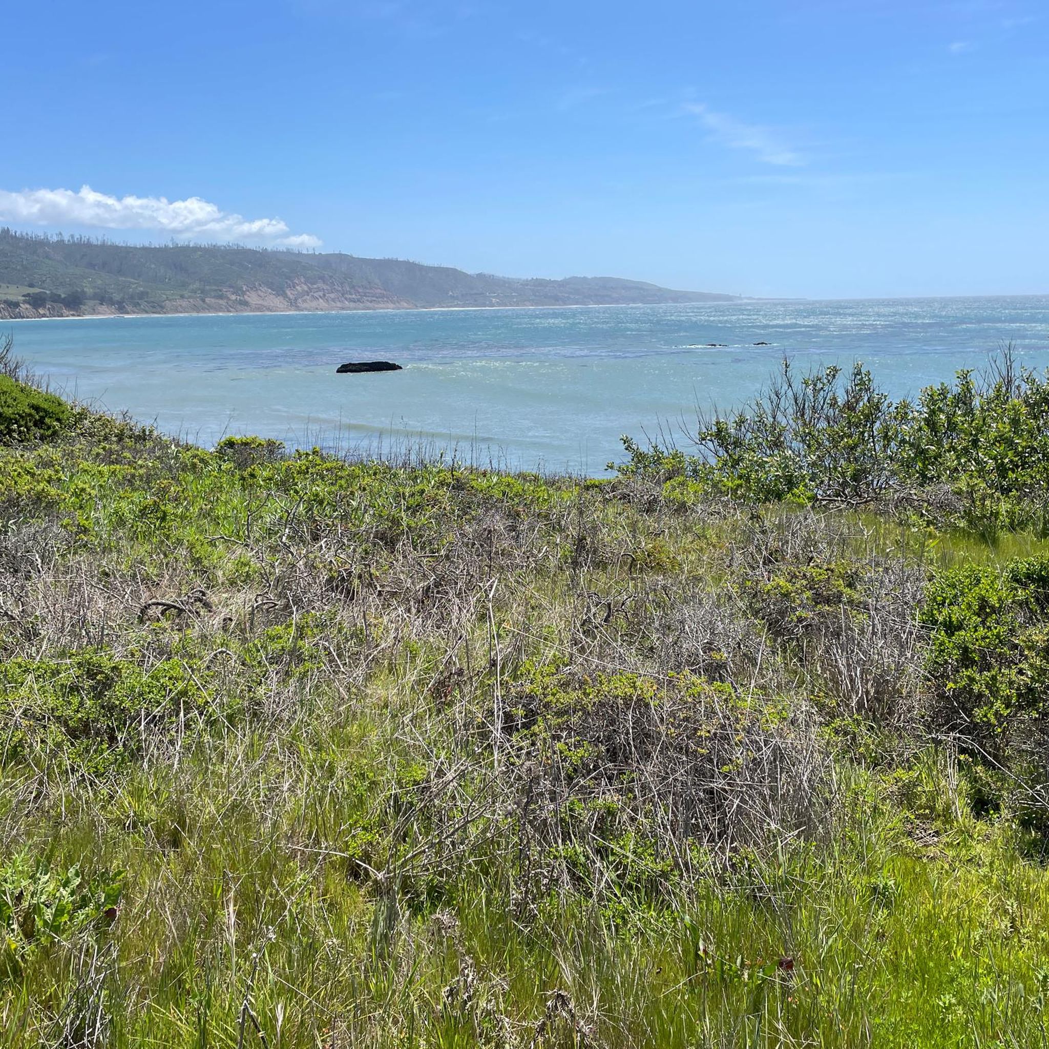
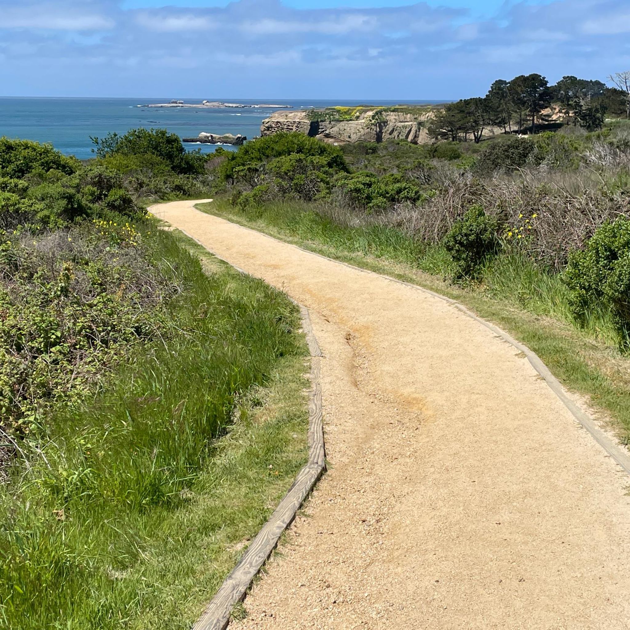
Cyclists can expect a diverse landscape featuring coastal views, rolling hills, and forested areas. Routes often traverse both open, exposed sections near the coast and more sheltered woodlands, particularly within state parks like Butano State Park. You'll experience the unique blend of California's redwood forests and Pacific coastline.
What do other touring cyclists enjoy most about touring cycling in West Waddell Creek State Wilderness?
The area is highly rated by the komoot community, with an average score of 5.0 stars. Reviewers often praise the challenging climbs, the rewarding coastal views, and the opportunity to cycle through varied terrain including state parks and scenic roads like Stage Road. The sense of accomplishment after tackling these difficult routes is a common highlight.
Are there any less-known or 'hidden gem' touring routes in the area?
While the region's routes are generally well-regarded, the Bike loop from Big Basin Way & Hilton Drive offers a challenging 13-mile (21 km) ride with significant elevation gain, providing a robust experience away from the more frequently mentioned coastal loops. It's a good option for those seeking a focused climb within the forested interior.
Are there opportunities for wildlife spotting along the touring bike routes?
Yes, West Waddell Creek State Wilderness and its surrounding state parks are home to diverse wildlife. Cyclists might spot various bird species, deer, and other small mammals, especially in the quieter, forested sections of routes that pass through areas like Butano State Park. Keep an eye out, particularly during dawn and dusk.
Most popular routes in West Waddell Creek State Wilderness

Get inspired with the komoot mobile app


Explore more
Browse the best Cycling routes in other regions.
