The best cycling routes in Charmlee Wilderness Park
4.0
(4)
280
riders
22
rides
Touring cycling in Charmlee Wilderness Park offers routes through the Santa Monica Mountains in Malibu, California. The park spans over 532 acres, featuring diverse terrain from meadows and shady oak groves to rocky outcroppings. Perched on a bluff, the area provides panoramic ocean views of the Malibu coastline and the Pacific Ocean. The network of trails includes sections with mostly well-paved surfaces and gentle slopes, suitable for touring bicycles, alongside more challenging paths.
Best touring cycling routes in Charmlee Wilderness…
Last updated: October 3, 2026
13
riders
24.5km
01:51
580m
580m
Hard bike ride. Very good fitness required. Mostly paved surfaces. Suitable for all skill levels.
15
riders
Moderate bike ride. Good fitness required. Mostly paved surfaces. Suitable for all skill levels.

7
riders
Moderate bike ride. Good fitness required. Mostly paved surfaces. Suitable for all skill levels.
5.0
(1)
2
riders
32.7km
02:43
500m
500m
Hard bike ride. Very good fitness required. Mostly paved surfaces. Suitable for all skill levels.
25
riders
50.3km
03:32
940m
940m
Hard bike ride. Very good fitness required. Mostly paved surfaces. Suitable for all skill levels.
Get access to more routes and recommendations from other explorers.
Already have an account?
Our route recommendations are based on thousands of hikes, rides, and runs completed by other people on komoot.
Start today with a free account
Your next adventure awaits.
Tips from the Community

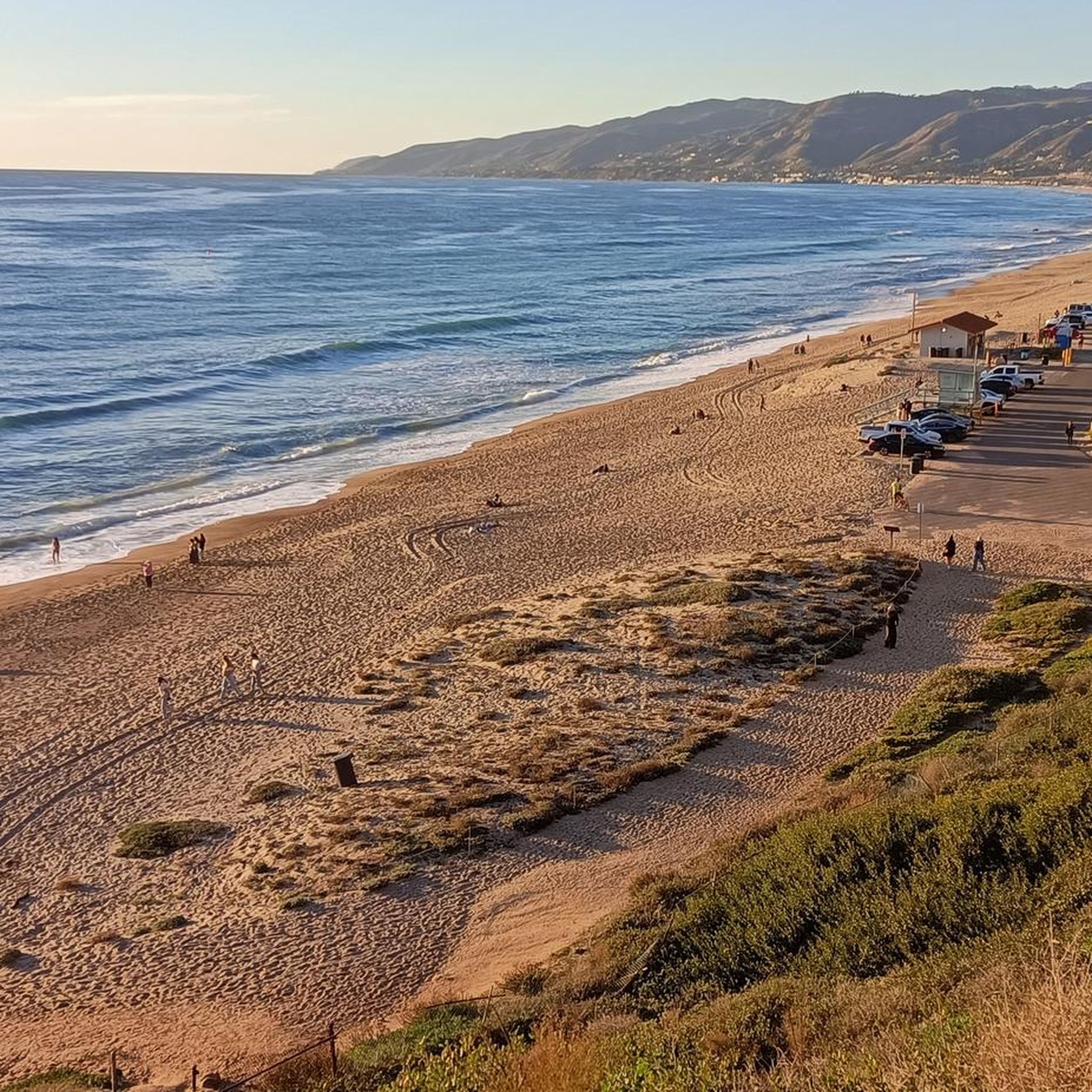
This is a common turnaround point for bikers in search of great views from the slopes of Barney Knob. You can make it part of a loop ride, too, but in that case you'll be looking at road-bike distances.
0
0

Neptunes nest is an infamous seafood restaurant with excellent views of the Pacific and beach. Its a perfect spot to take a break and enjoy the views whilst having a bite to eat.
0
0

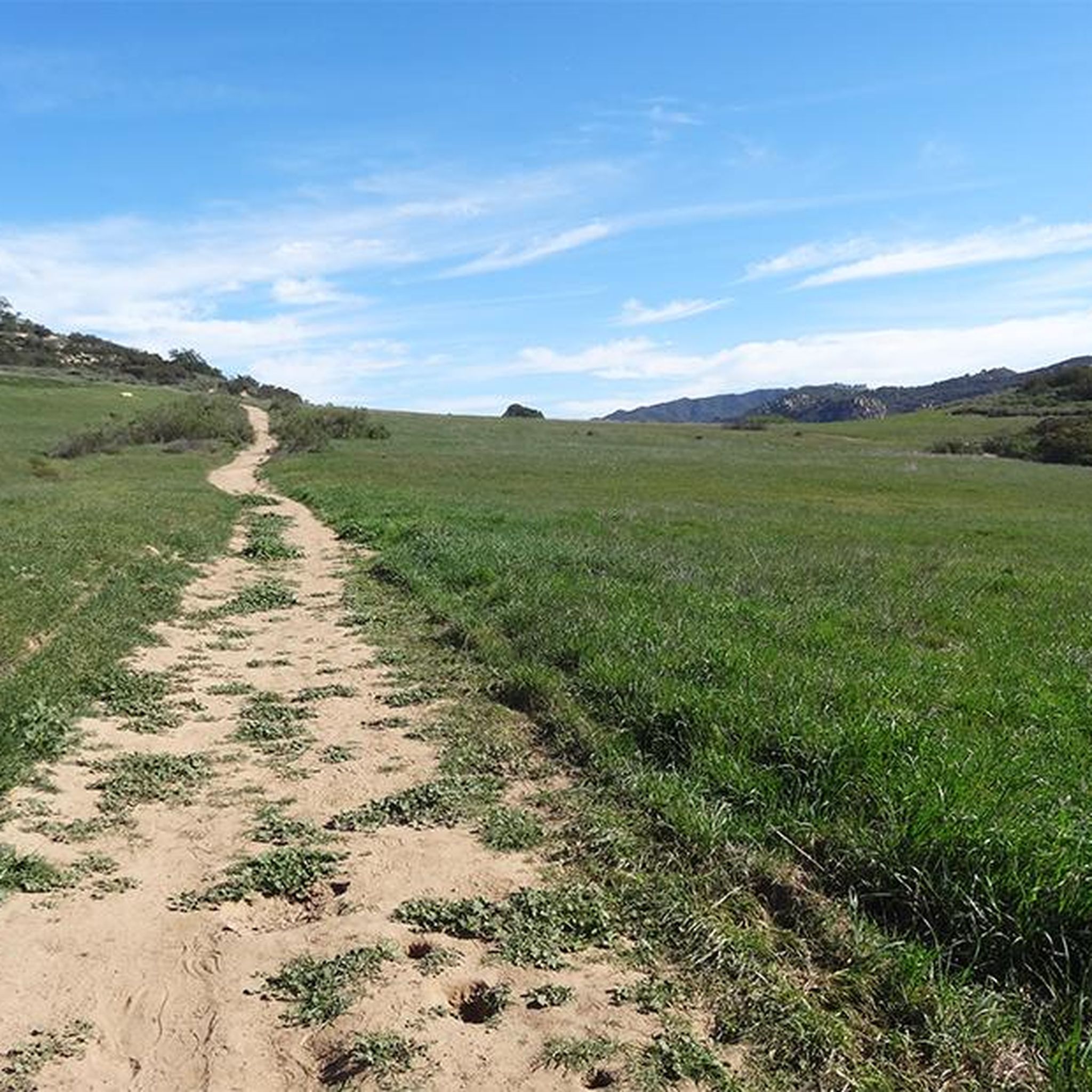
This stunning landscape east of Circle X Ranch is a paradise for mountain bikers, boasting chaparral-covered hills and magnificent oak woodlands. On the west side, the picturesque Etz Meloy Motorway (Backbone Trail) invites riders to enjoy the magnificence of this area's untouched scenery.
0
0

The Yerba Buena Road is just a super stretch of mountain road. There is beautiful scenery all around, with the views towards the Circle X Ranch and down the Backbone Trail being particularly nice. The road is also first rate with good curves and climbs.
0
0

Leo Carrillo State Park is a 2,513-acre park on the Malibu coast and is part of the Santa Monica Mountains National Recreation Area. It offers swimming, surfing, fishing, as well as an inland campground and backcountry hiking trails.
0
0

This is a great vantage point to look over the tops of the houses and out to sea at Trancas Beach. Next to Broad Beach, it's a long expanse of sand which is a lovely place to stop, especially around sunset.
0
0
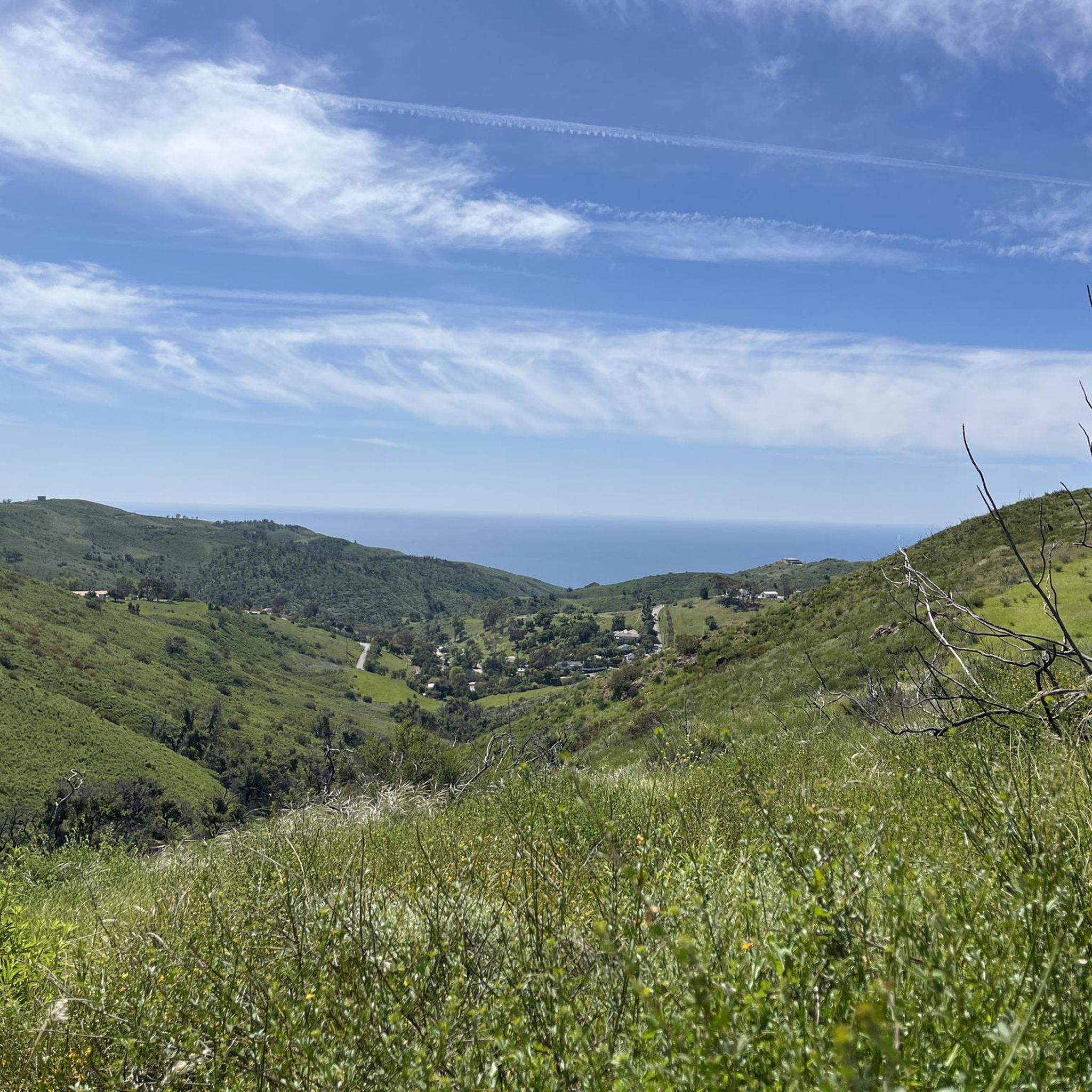
Look south as you ride along the Little Sycamore Canyon Road and it's sure to take your breath away. You can see down the valley onto the Mulholland Highway and out to El Pescador State Beach.
0
0

Stretching 67 miles (ca. 108 km) between Point Mugu and Will Rogers, the Backbone Trail epitomizes perseverance. The last piece of the trail is the Etz Meloy Motorway. Cut in the 1920s and named for early homesteaders, the fire road connects Mulholland Highway and Yerba Buena Road, crossing a number of privately owned tracts. Explore diverse ecosystems and embrace the trail's history.
0
0
Frequently Asked Questions
What kind of terrain can I expect when touring cycling in Charmlee Wilderness Park?
Charmlee Wilderness Park offers diverse terrain for touring cyclists. You'll find sections with mostly well-paved surfaces and gentle slopes, making them accessible for touring bicycles. Other paths feature firm surfaces and varying gradients, traversing meadows, shady oak groves, and rocky outcroppings. The park's network allows for a varied riding experience.
Are there any routes suitable for beginners or those looking for a moderate ride?
While many routes in Charmlee Wilderness Park are rated as difficult due to significant elevation changes, there are options for moderate touring cyclists. For example, the MRCA Open Space – Long-distance hiking trail loop from Backbone Trail - Encinal to Mulholland is a moderate 9.3-mile (15.0 km) trail, and the MRCA Open Space – NPS Land loop from Backbone Trail - Encinal to Mulholland is another moderate option covering 9.0 miles (14.5 km).
What are the best viewpoints or natural features to look out for during a ride?
The park is renowned for its outstanding panoramic ocean views of the Malibu coastline and the Pacific Ocean, with distant sights of the Palos Verdes Peninsula from various points like the Ocean Overlook. In spring, the park comes alive with a vibrant display of wildflowers, including orange monkeyflower, sage, lupines, and mustard. You'll also ride through diverse landscapes like meadows and shady oak groves.
Can I spot any wildlife while cycling in Charmlee Wilderness Park?
Yes, Charmlee Wilderness Park is home to a variety of wildlife. Keep an eye out for bobcats, quail, foxes, coyotes, deer, rabbits, skunks, and various birds. The diverse habitats within the park provide opportunities for natural discovery during your ride.
Are there any historical landmarks or points of interest along the trails?
Yes, the park features some historical points of interest. You can explore the Ranch House Ruins and an old well, which offer a glimpse into the area's past and provide interesting stops along the trails.
Are there any circular touring cycling routes available?
Yes, many of the touring cycling routes in Charmlee Wilderness Park are designed as loops, allowing you to start and end at the same point. Examples include the challenging South Beach – Leo Carrillo State Park loop from Malibu Riviera and the moderate MRCA Open Space – Long-distance hiking trail loop from Backbone Trail - Encinal to Mulholland.
What is the best time of year to go touring cycling in Charmlee Wilderness Park?
The park offers enjoyable cycling experiences year-round, but spring is particularly beautiful due to the vibrant display of wildflowers. The 'firm and gentle slopes' mentioned in the region research suggest that many trails are well-maintained and suitable across seasons, though checking current conditions is always advisable.
What do other touring cyclists say about their experience in Charmlee Wilderness Park?
The touring cycling routes in Charmlee Wilderness Park are highly rated by the komoot community, with an average score of 4.5 stars from over 4 reviews. Cyclists often praise the panoramic ocean views, the diverse terrain, and the significant elevation changes that offer a rewarding challenge.
Is public transport available to access Charmlee Wilderness Park?
While specific public transport routes directly to the park entrance for cyclists are limited, it's generally recommended to check local bus services in Malibu for the closest stops. However, most visitors typically access the park by car, especially with touring bicycles.
Where can I find parking for touring cycling in Charmlee Wilderness Park?
Charmlee Wilderness Park has designated parking areas for visitors. The main entrance typically offers parking facilities. For detailed information on parking locations and any potential fees, it's advisable to consult the official park resources, such as the Charmlee Park Trails Quick Guide.
Are permits required for biking in Charmlee Wilderness Park?
Generally, permits are not required for recreational biking on the established trails within Charmlee Wilderness Park. However, it's always a good practice to check the latest regulations from the park management or the Los Angeles County Trails website for any updates or specific requirements before your visit.
Are there any challenging routes for experienced touring cyclists?
Yes, Charmlee Wilderness Park offers several challenging routes for experienced touring cyclists. For instance, the Triunfo Pass – Circle X Ranch loop from Backbone Trail - Encinal to Mulholland is a difficult 18.8-mile (30.3 km) path with substantial climbs and expansive vistas. Another demanding option is the Backbone Trail Loop, covering 20.3 miles (32.7 km) with significant elevation gain.
Most popular routes in Charmlee Wilderness Park

Get inspired with the komoot mobile app


Explore more
Browse the best Cycling routes in other regions.
