The best walks and hikes in Boney Mountain State Wilderness
4.9
(83)
1,248
hikers
117
hikes
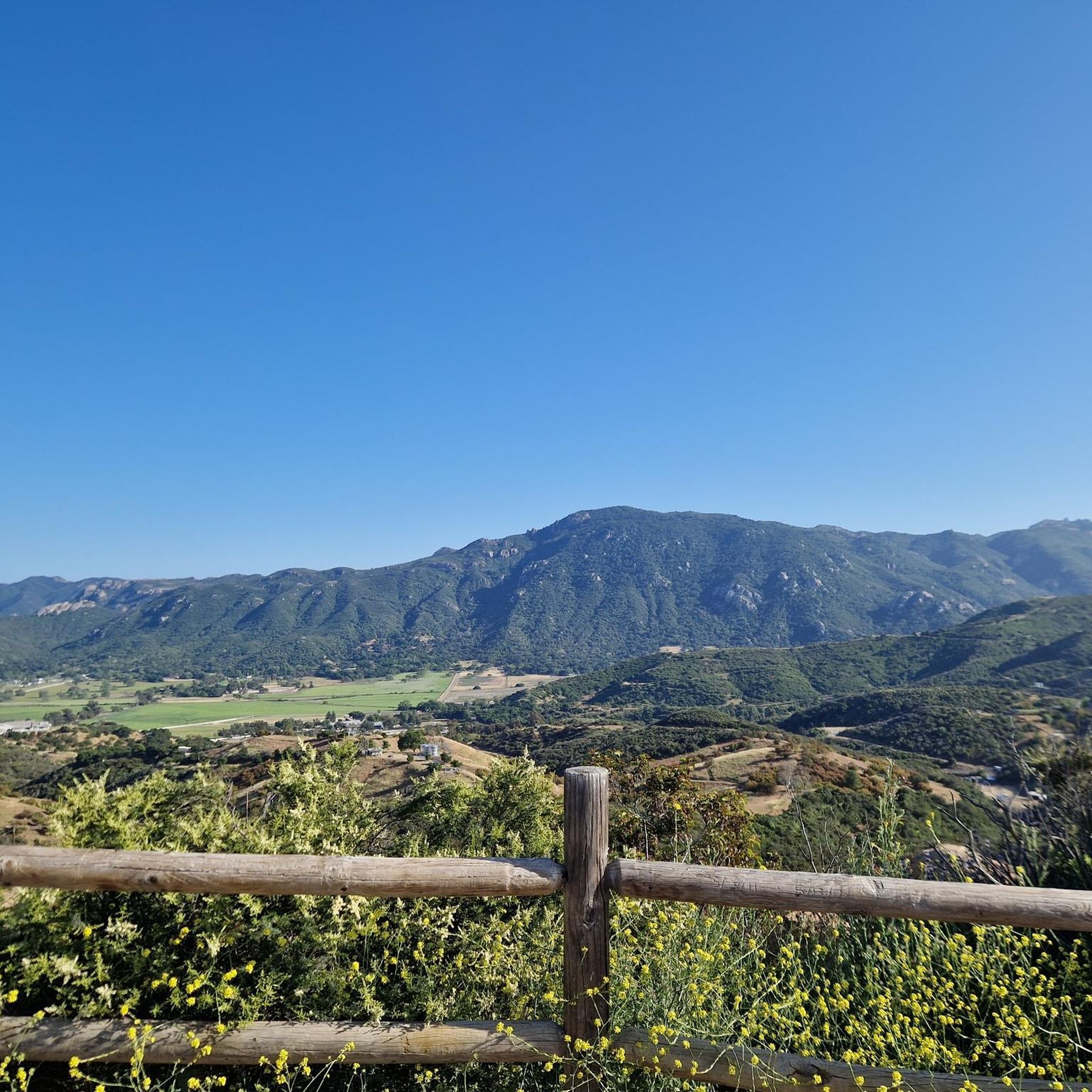
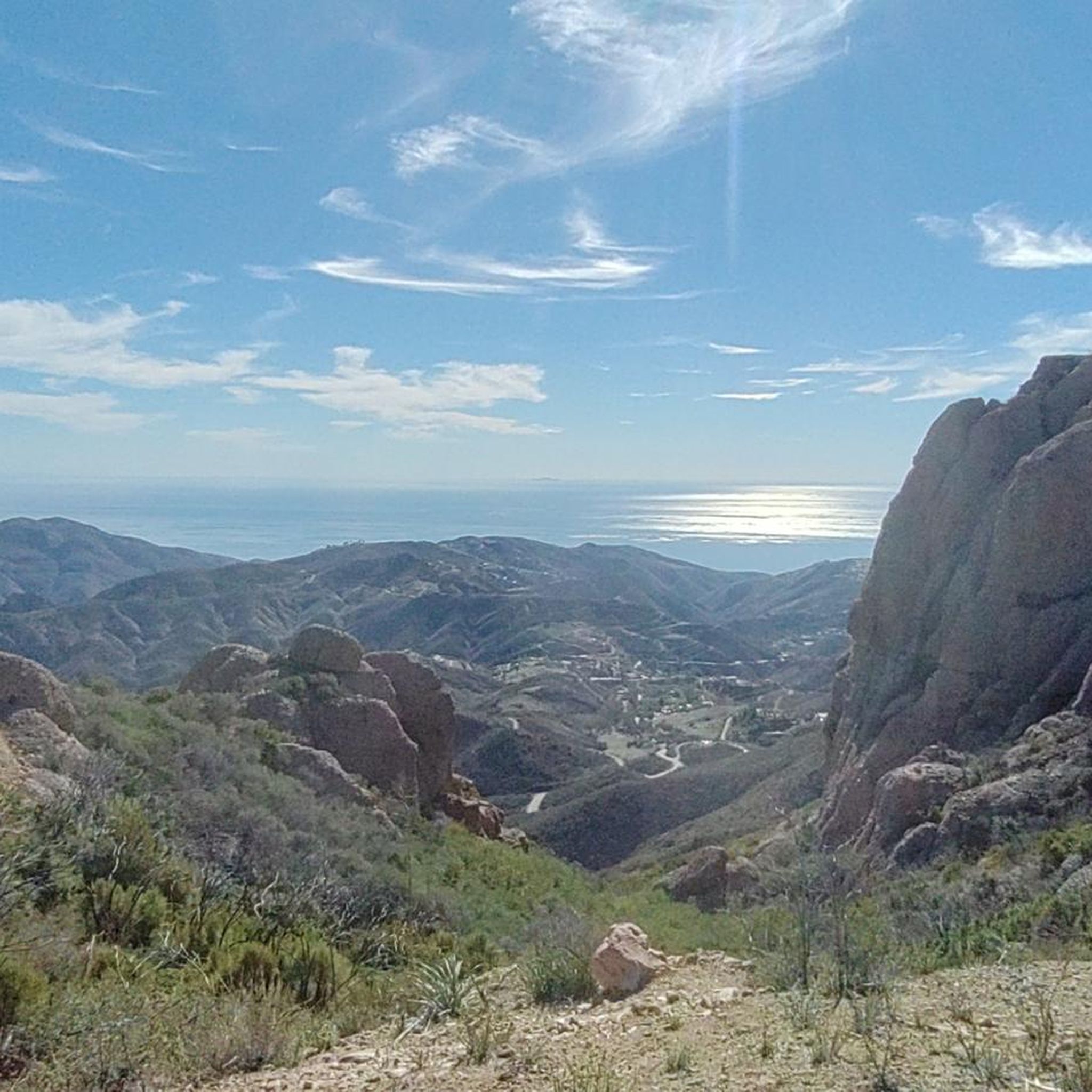
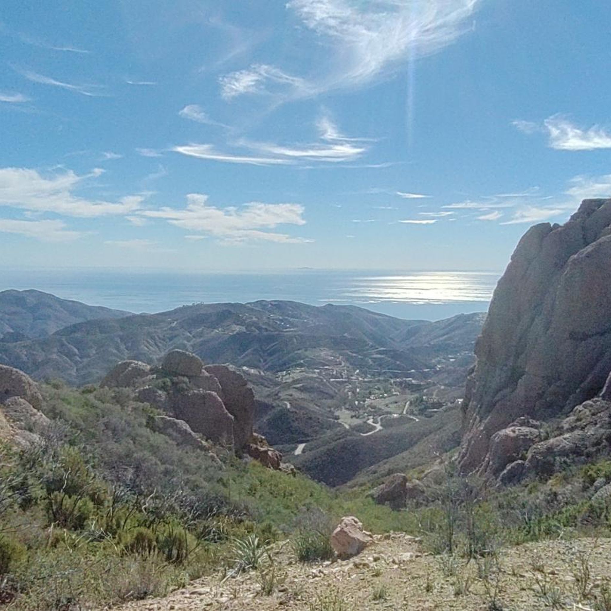
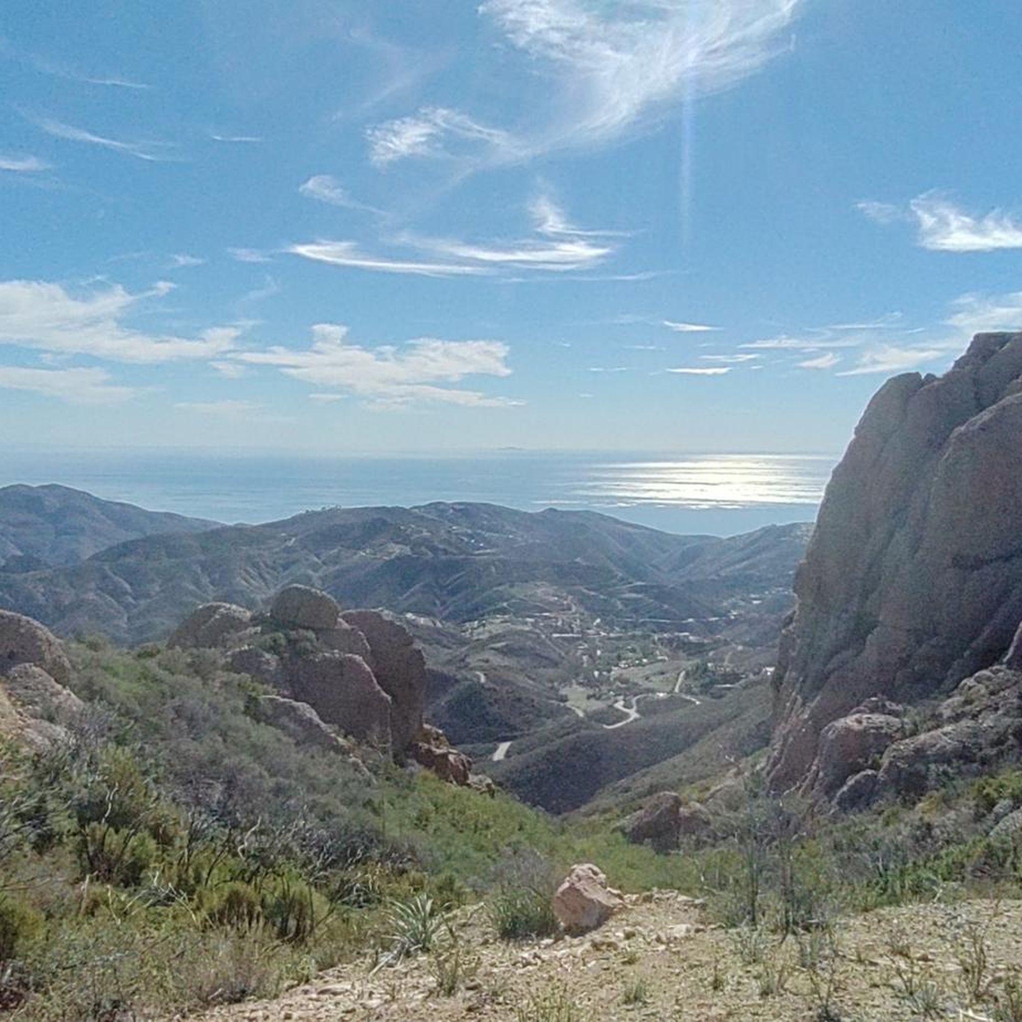
Hiking in Boney Mountain State Wilderness offers a diverse landscape characterized by rugged peaks, deep canyons, and coastal chaparral within the Santa Monica Mountains. The terrain includes varied elevation changes, from lower canyon floors to higher mountain ridges, providing a range of hiking experiences. This state wilderness area is known for its natural features, including rock formations and seasonal streams, making it a significant natural landmark in Ventura County.
Best hiking trails in Boney Mountain State Wilderness
- The most popular hiking route is Overlook Fire Road to Scenic Trail loop — Point Mugu State Park, a 2.8 miles (4.5 km) trail that takes 1 hour 19 minutes to complete, offering scenic views of the surrounding landscape.
- Another top favourite among local hikers is Serrano & Sycamore Canyon loop via Old Boney Trail — Point Mugu State Park, a moderate 9.7 miles (15.7 km) path. This route navigates through canyons and along the historic Old Boney Trail, showcasing varied terrain.
- Local hikers also love the Great Dune View & Scenic Trails loop — Point Mugu State Park, a 1.8 miles (3.0 km) trail leading through coastal dunes and scenic viewpoints, often completed in about 57 minutes.
- Hiking in Boney Mountain State Wilderness is defined by rugged mountain trails, canyon systems, and coastal chaparral. The network offers options for different ability levels, from easy walks to more challenging ascents.
- The routes in Boney Mountain State Wilderness are highly rated by the komoot community with an average score of 4.8 stars from over 75 reviews. More than 1200 hikers have used komoot to explore Boney Mountain State Wilderness's varied terrain.
Last updated: July 7, 2026
9
hikers
7.51km
02:16
240m
240m
Embark on the Sycamore Canyon Road, Fireline Trail, and Overlook Fire Loop for a dynamic hiking experience that transitions from shaded canyon bottoms to sun-drenched ridge lines. You'll start amidst the diverse plant life and riparian trees of Sycamore Canyon, following a perennial creek that supports a rich ecosystem. The route then climbs steadily, offering increasingly dramatic views of the Pacific Ocean and the rugged Santa Monica Mountains, culminating in the stunning panoramic vistas from the Overlook Fire Road. This moderate 4.7-mile (7.5 km) loop, with its 786 feet (240 metres) of elevation gain, typically takes around 2 hours and 15 minutes, making it a perfect half-day adventure for those seeking varied scenery.
To plan your visit, head to Point Mugu State Park, where the trailhead is conveniently located. Parking can fill up quickly, especially on popular days, so an early start is advisable. While some sections of the Sycamore Canyon Fire Road might involve water crossings, this specific loop allows you to bypass them by utilizing the Overlook climb. Always bring ample water, as parts of the trail are exposed and can get quite warm.
This loop is a prime example of the diverse options available in Point Mugu State Park, connecting to other significant trails like the Backbone Trail. Sycamore Canyon itself is an ecologically rich area, home to a variety of plant communities and wildlife, including mule deer and bobcats, making it a notable spot for birdwatching. The
1
hikers
20.3km
05:47
470m
460m
The Big Sycamore Canyon Loop Trail is a fantastic option if you're seeking a challenging hike with incredible payoffs in the Santa Monica Mountains. You'll begin in the lush, shaded Sycamore Canyon, winding through groves of sycamore and oak, before ascending onto exposed ridges. From higher elevations, you'll be treated to sweeping views of the Pacific Ocean, the Malibu coastline, and the rugged Boney Mountains, making the effort well worth it.
This is a difficult 12.6-mile (20.3 km) hiking route with 1528 feet (466 metres) of elevation gain, typically requiring about 5 hours and 46 minutes. Access is via the Sycamore Canyon Campground, where a day-use parking fee applies. Be aware that dogs are generally not allowed on the backcountry trails, and you should carry ample water, especially during warmer months, as much of the trail lacks shade.
Historically, Big Sycamore Canyon served as a vital trading route for Indigenous peoples, connecting the Conejo Valley with the Pacific Ocean. Today, the trail is also popular for trail running and mountain biking, and after your hike, you can relax at Sycamore Cove Beach, easily accessible via an underpass from the parking area.

Sign up for free
7.39km
02:11
330m
20m
The Serrano Canyon Trail offers a wonderfully varied hiking experience through Point Mugu State Park, taking you from shaded sycamore groves along a creek to expansive meadows with golden barley fields. You'll be treated to impressive views of Boney Mountain and panoramic vistas of Sycamore Canyon, with interesting rock formations and dense forest providing welcome shade. It's a moderate 4.6-mile (7.4 km) route with 1073 feet (327 metres) of elevation gain, making it a solid workout that takes about 2 hours and 10 minutes.
When planning your visit, remember there are no water sources on the trail, so carry enough for your entire hike. Ticks are also a concern, so wearing long pants and sleeves is a good idea, and always watch out for poison oak. The trail is dog friendly, provided your furry friend stays on a leash, and the best time to go is during the cooler fall or spring months.
This trail connects to a larger network, including Sycamore Canyon and Old Boney Trails, offering options for longer adventures. You might even spot remnants of the area's ranching history, like old farm equipment, and observe the ecological recovery in areas affected by the 2013 Springs Fire, with unique "ash ghosts" of trees. It's a surprisingly quiet retreat despite its accessibility, showcasing diverse natural beauty.
5.0
(1)
20
hikers
4.48km
01:19
130m
130m
The Scenic and Overlook Trails Loop offers a fantastic taste of Malibu's coastal beauty, winding through diverse terrain that transitions from a gentle start near Sycamore Canyon Campground to a steady climb. You'll navigate dirt paths, occasional wooden steps, and rocky sections as you ascend through coastal sage, with the reward of expansive ocean views unfolding before you. The highlight is undoubtedly the panoramic vista from the Viewpoint on the Scenic Trail, where the Malibu coastline stretches out below.
Planning your visit means heading to Point Mugu State Park, where an entrance fee is required. Be prepared for sun exposure, as shade is scarce along this route, so pack sunscreen, a hat, and ample water. While the trail is considered easy, the 434 feet (132 metres) of elevation gain over 2.8 miles (4.5 km) will give you a good workout, taking about 1 hour and 18 minutes to complete. Remember, dogs are not permitted on these trails.
This loop is a prime example of the Santa Monica Mountains' rugged beauty, showcasing river canyons and grassy valleys alongside the dramatic coastline. The consistent ocean views are often compared to exotic destinations, making it a popular choice for those seeking high-payoff scenery without extreme difficulty. Keep an eye out for seasonal wildflowers, which add an extra layer of charm to this already picturesque hike.
7
hikers
15.7km
04:33
420m
420m
Hike the moderate 9.7-mile Sycamore Canyon and Serrano Valley Loop in Point Mugu State Park, featuring diverse terrain and mountain views.
Get access to more routes and recommendations from other explorers.
Sign up for free
Already have an account?
Our route recommendations are based on thousands of hikes, rides, and runs completed by other people on komoot.
Start today with a free account
Your next adventure awaits.
Login or Signup

Tips from the Community

The Wood Canyon Vista and Backbone Trailhead has a picnic table and water source. There are no reliable water sources along the trails, so make sure you are prepared before starting.
0
0
The Overlook Fire Road is a non-technical gravel road that runs up to the Backbone Trail and Guadalasca Trail. There are great views of the Pacific from certain points of the road.
0
0

Near the top of the Scenic Trail, it's worth a short detour to a coastal Overlook with a bench and sweeping views above Sycamore Cove.
0
0

If you want to camp next to the beach, then Sycamore Canyon Campground in Point Mugu State Park is the place to be. Tents, trailers, and RVs up to 31 feet are allowed. Don't forget to reserve your campsite here: reservecalifornia.com/Web.
0
0
If you want to camp next to the beach then Sycamore Canyon Campground in Point Mugu State Park is the place to be. Tents, trailers and RVs up to 31 feet are allowed. Don't forget to reserve your campsite here: reservecalifornia.com/Web.
0
0

When coming from the south, Serrano Canyon Trail separates from Sycamore Canyon Fire Road and runs up the hill until it becomes Serrano Valley Trail. The trail follows the creek of the same name.
0
0
Sycamore Canyon Fire Road leads all the way from Newbury Park down to the ocean. While the upper section is paved, the lower section is a gravel trail. The trail follows Big Sycamore Canyon Creek through typical, Californian landscape.
0
0
If you want to camp next to the beach and next to great mountain bike trails, then Sycamore Canyon Campground in Point Mugu State Park is the place to be. Tents, trailers and RVs up to 31 feet are allowed. Don't forget to reserve your campsite here: https://www.reservecalifornia.com/Web/.
0
0
Frequently Asked Questions
How many hiking trails are available in Boney Mountain State Wilderness?
Boney Mountain State Wilderness offers a wide variety of hiking experiences with over 80 routes. These range from easy strolls to challenging ascents, catering to different skill levels and preferences.
Are there any easy hiking trails suitable for beginners in Boney Mountain State Wilderness?
Yes, there are 37 easy trails in the area. A great option for beginners is the Overlook Fire Road to Scenic Trail loop — Point Mugu State Park, which is 2.8 miles long and offers scenic views without significant difficulty.
What kind of terrain can I expect when hiking in Boney Mountain State Wilderness?
The terrain in Boney Mountain State Wilderness is diverse, characterized by rugged peaks, deep canyons, and coastal chaparral within the Santa Monica Mountains. You'll encounter varied elevation changes, from lower canyon floors to higher mountain ridges, providing a range of hiking experiences.
Are there any circular hiking routes in Boney Mountain State Wilderness?
Yes, many trails in Boney Mountain State Wilderness are loops. For example, the Serrano & Sycamore Canyon loop via Old Boney Trail — Point Mugu State Park is a moderate 9.7-mile loop that navigates through canyons and along historic paths. Another easy option is the Great Dune View & Scenic Trails loop — Point Mugu State Park, which is 1.8 miles long.
What are some notable natural features or landmarks to see in Boney Mountain State Wilderness?
Boney Mountain State Wilderness is known for its natural beauty. You can find impressive rock formations and seasonal streams. Highlights include the Upper Sycamore Overlook for panoramic views and Sycamore Falls, especially after rainfall.
Are there any waterfalls in Boney Mountain State Wilderness?
Yes, Sycamore Falls is a notable waterfall within Boney Mountain State Wilderness. It's particularly impressive during or after the rainy season.
What do other hikers enjoy the most about hiking in Boney Mountain State Wilderness?
The area is highly rated by the komoot community, with an average score of 4.8 stars from over 75 reviews. Hikers often praise the diverse landscape, ranging from rugged peaks to coastal chaparral, and the variety of trails suitable for different abilities.
Are there any challenging long-distance hikes in the area?
For experienced hikers seeking a challenge, the Sycamore Canyon Campground to Sandstone Peak — Point Mugu State Park route is a difficult 20.7-mile (33.3 km) trail with significant elevation changes, offering a strenuous but rewarding experience.
Are there any historical sites or ruins to explore?
Yes, hikers can discover historical elements within the wilderness. There are Ruins that offer a glimpse into the past, adding an interesting dimension to your hike.
What is the best time of year to hike in Boney Mountain State Wilderness?
While Boney Mountain State Wilderness can be enjoyed year-round, spring offers lush greenery and wildflowers, while fall provides cooler temperatures. Summers can be hot, so early morning hikes are recommended. Winters are generally mild, but trails can be muddy after rain.
Are there any trails that offer a good viewpoint?
Absolutely! The Upper Sycamore Overlook is a popular viewpoint offering expansive vistas of the surrounding landscape. Many trails also provide scenic overlooks along their paths.
Are there any facilities or rest areas available on the trails?
Yes, you can find facilities within the area. For example, the Sycamore Canyon Fire Road (rest area) provides a place to pause and refresh during your hike.
Most popular routes in Boney Mountain State Wilderness
Most popular attractions in Boney Mountain State Wilderness

Get inspired with the komoot mobile app


Explore more
Browse the best Hikes in other regions.
