The best walks and hikes in Ladyface Mountain Open Space
4.5
(99)
892
hikers
108
hikes
Hikes in Ladyface Mountain Open Space are characterized by the steep, rocky ascent to the area's prominent summit. Located in the Santa Monica Mountains near Agoura Hills, the terrain is rugged and includes sections of scrambling. The main trail to the peak offers expansive views over the Conejo Valley, while adjacent open spaces provide a network of less strenuous routes through canyons and over rolling hills.
Best hiking trails in Ladyface Mountain Open Space
- The most popular hiking route is…
Last updated: October 10, 2026
6
hikers
3.37km
01:27
300m
300m
Hike the Ladyface Trail for a strenuous climb with 994 feet of elevation gain and panoramic views of the Santa Monica Mountains.
4.06km
01:03
20m
20m
Embark on an easy hike along the Fran Pavley Meadow Trail, a pleasant 2.5 miles (4.1 km) route that winds through tranquil meadows and diverse vegetation. You'll experience a gentle…

1.87km
00:31
30m
30m
Discover the easygoing Paramount Ranch South trail, a perfect choice for a quick outdoor escape in the Santa Monica Mountains. This route guides you through a mix of woodlands, grasslands,…
1.13km
00:19
30m
20m
Embark on an easy hike along the Coyote Canyon Trail to Hacienda Trail Loop, a pleasant route spanning 0.7 miles (1.1 km) with a gentle elevation gain of 83 feet…
3
hikers
8.27km
02:26
240m
240m
The Saddle Pass and Wishbone Loop Trail offers a challenging yet rewarding hike through the North Ranch Open Space, delivering expansive views of the surrounding neighborhoods, distant hills, and mountains.…
Get access to more routes and recommendations from other explorers.
Already have an account?
Our route recommendations are based on thousands of hikes, rides, and runs completed by other people on komoot.
Start today with a free account
Your next adventure awaits.
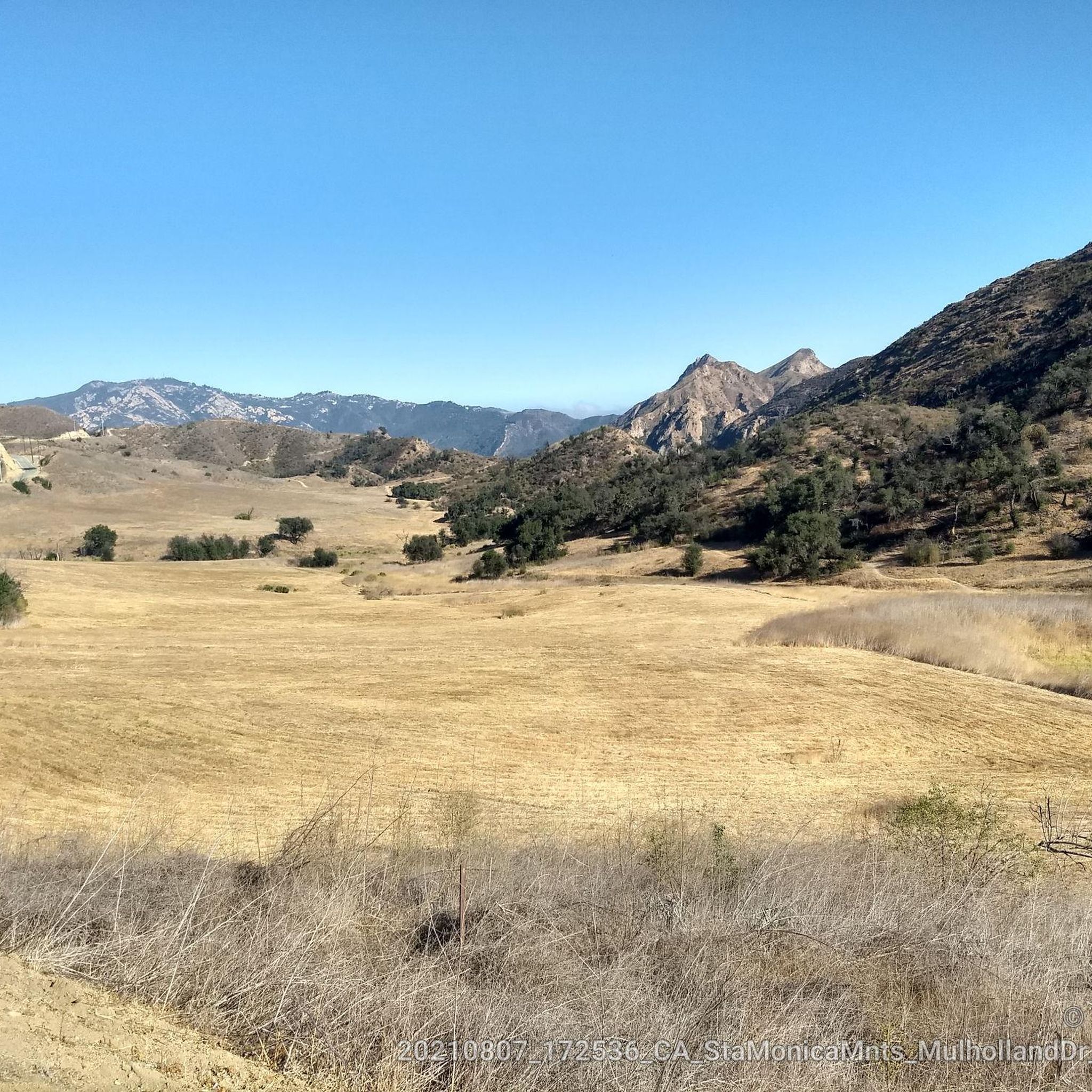
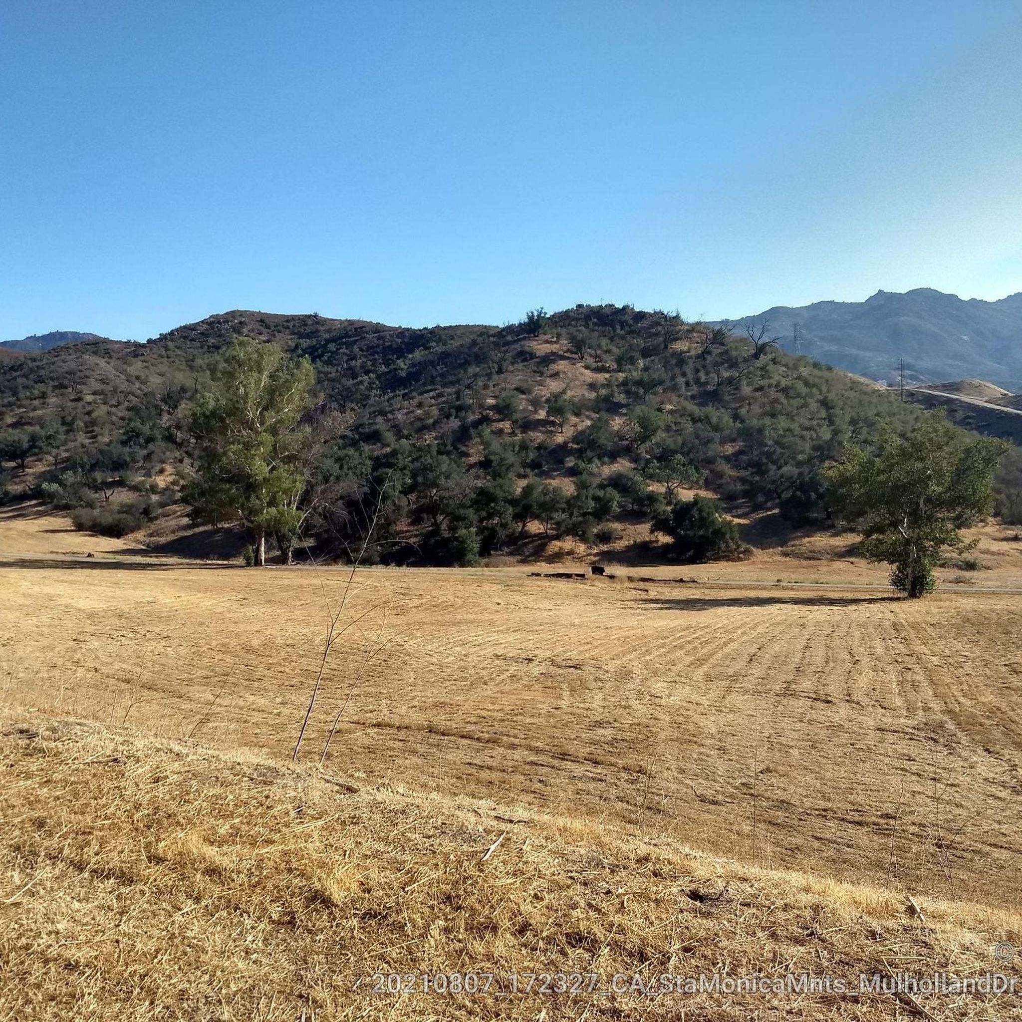
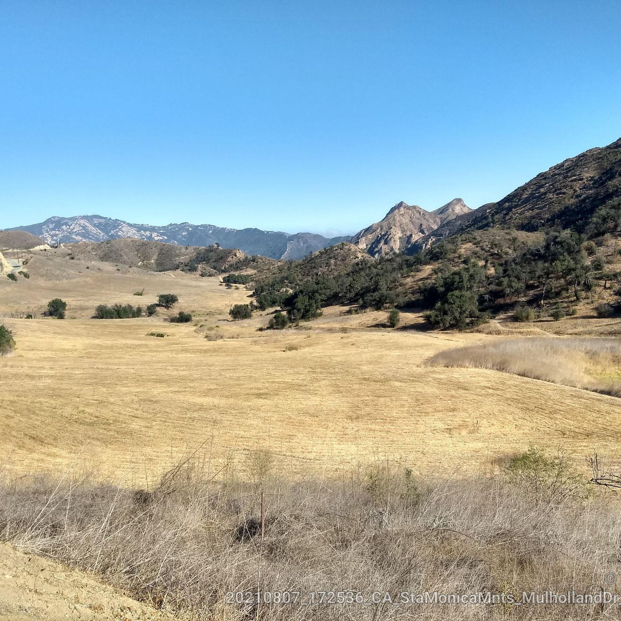
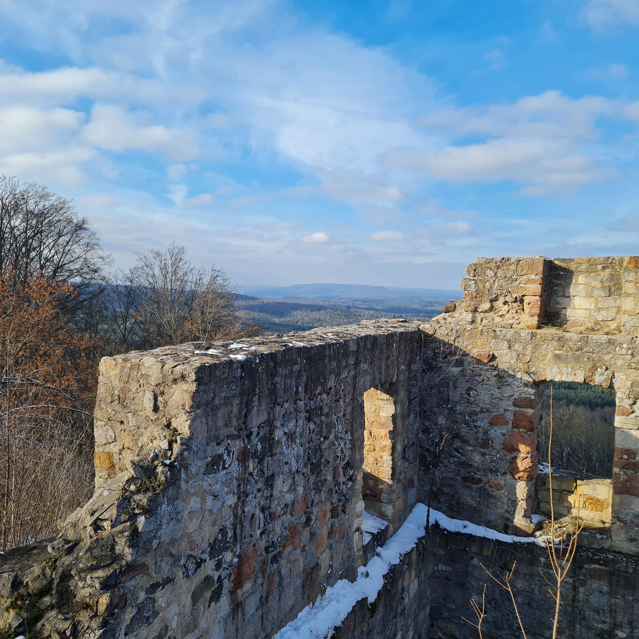
Tips from the Community

Ladyface is a volcanic ridge that juts up over Agoura Hills. Parts of the trail will require you to scramble up the volcanic rock walls using your hands and feet, but the views from the top of the narrow peak are some of the best in the area.
1
0
This trail is a well defined dirt single track that allows for views on both sides of the ridge line. The trail is exposed without any shade, so plan accordingly.
0
0

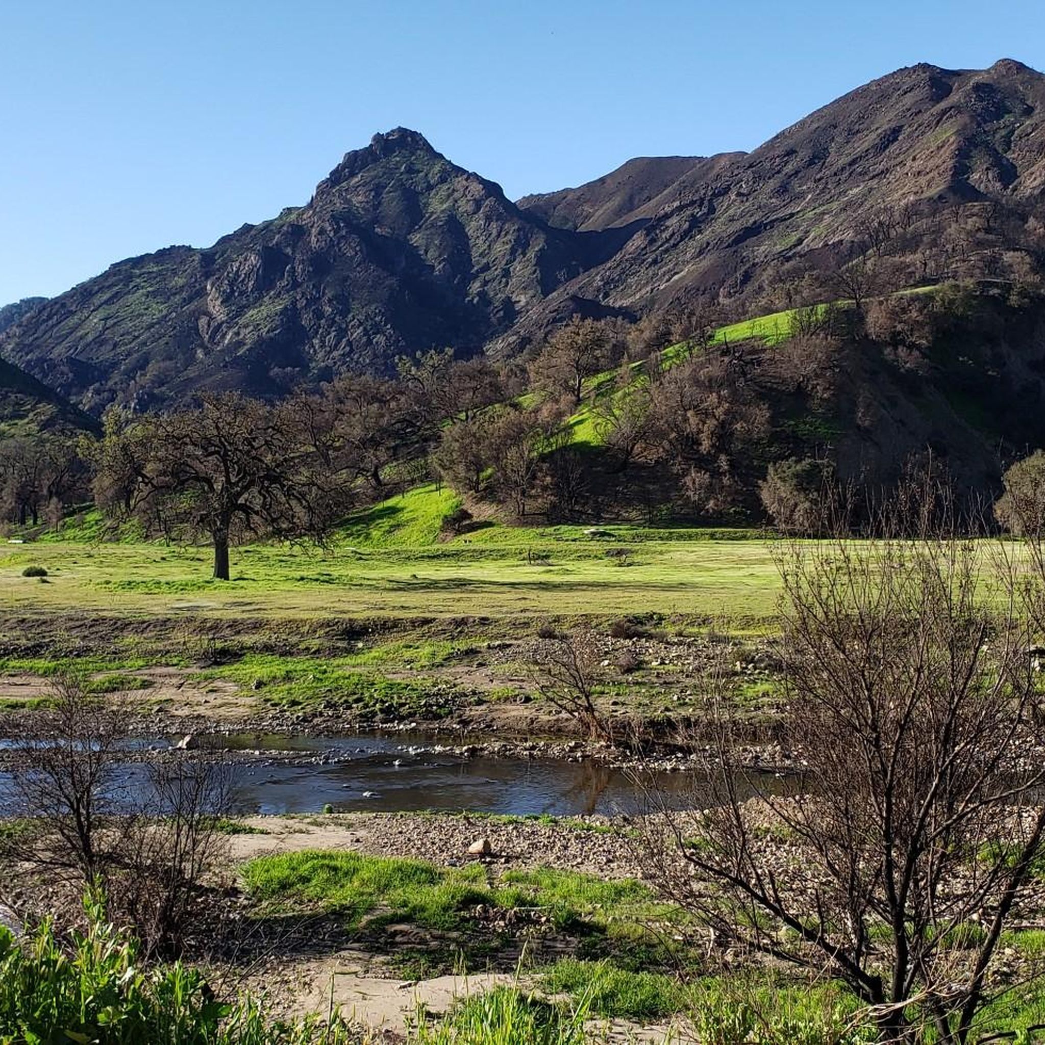
While the film sets were mostly destroyed by forest fires, the forests themselves have mostly recovered and the trails are great.
1
0
Unfortunately in November 2018, the Woolsey Fire destroyed much of what was known as Western Town, a real-life Hollywood-adjacent motion picture set. The train depot used in Dr. Quinn, Medicine Woman series and the chapel used in HBO's "Westworld" remains. The site is currently being reimagined to remake the only location in the National Park Service dedicated to the ongoing creation of movies and television shows. Cross the bridge to get to the chapel used in HBO's "Westworld," It will be on your left. The only other building that still stands on the former Hertz Era Western Town site is the train depot that was used in the T.V. show Dr. Quinn, Medicine Woman. All trailheads extend from this area, except the trail that goes toward Mulholland highway. https://www.nps.gov/samo/planyourvisit/paramountranch.htm
0
0
Frequently Asked Questions
How difficult is the hike to the Ladyface Mountain summit?
The main trail to the summit is considered strenuous and challenging. It involves a steep, rocky ascent with a significant scrambling section near the top that requires using your hands. Good, sturdy hiking shoes are essential, and some hikers recommend gloves for the scramble.
How long does it take to hike the Ladyface Trail?
The primary route to the summit, the Ladyface Peak Trail, is about 2.1 miles (3.4 km) long. Most hikers complete the out-and-back journey in around 1 hour and 25 minutes, but this can vary depending on your pace and time spent at the summit.
What is the elevation gain on the Ladyface Mountain hike?
The hike to the summit involves a significant and rapid elevation gain of approximately 994 feet (303 meters) over a short distance, which contributes to its steep and challenging nature.
Where is the trailhead and where can I park?
The main trailhead is the Ladyface Trail Head, located directly off Kanan Road in Agoura Hills. There is a small dirt pullout area for parking right at the start of the trail. Space is limited, so it can fill up on popular days.
Are there any easier, family-friendly hikes in the area?
Yes, for a less strenuous outing, consider the Paramount Ranch Outer Trail loop. It's a relatively flat 2.7-mile (4.4 km) walk through pleasant oak woodlands. Another gentle option is the Yearling Trail loop via Deer Leg Trail, which is mostly flat and suitable for all skill levels.
What are the views like from the summit?
From the top of Ladyface Mountain, you get expansive 360-degree views. You can see across the Conejo Valley, the city of Agoura Hills, the surrounding Santa Monica Mountains, and on clear days, you may spot other prominent peaks in the distance.
Are there any circular or loop trails available?
While the main summit trail is an out-and-back route, there are loop options in the adjacent open spaces. The Saddle Pass Trail to Wishbone Loop Trail is a popular 5.1-mile (8.3 km) moderate loop in the nearby North Ranch Open Space that features rolling hills and wide paths.
What is the best time of year to hike in Ladyface Mountain Open Space?
The best seasons to hike here are fall, winter, and spring when temperatures are cooler. The trail is very exposed with little shade, making summer hikes extremely hot and potentially dangerous. If hiking in warmer months, go very early in the morning and bring plenty of water.
Should I be concerned about rattlesnakes or other wildlife?
Yes, this is a natural, wild area and home to wildlife, including rattlesnakes. They are most active in warmer weather. Always stay on the trail, be aware of your surroundings, and watch where you place your hands and feet, especially in rocky areas.
Are there any alternative hiking areas nearby?
Cheeseboro & Palo Comado Canyon is a great alternative. This large park offers a variety of trails, from a nearly flat main trail shaded by oak trees to more challenging routes on the surrounding hills. It's a popular spot for those looking for longer, less rugged hikes.
How many hiking trails are in the Ladyface Mountain area?
You can explore over 70 different routes in and around Ladyface Mountain Open Space. The network includes everything from difficult summit climbs to easy and moderate loops through the adjacent canyons and open spaces.
What do other hikers say about the trails in Ladyface Mountain Open Space?
The area is highly rated by the komoot community, with an average score of 4.5 stars. Reviewers frequently praise the incredible views from the summit but consistently emphasize the steepness and the challenging scramble section, advising hikers to be well-prepared.
Most popular routes in Ladyface Mountain Open Space

Get inspired with the komoot mobile app


Explore more
Browse the best Hikes in other regions.
