The best cycling routes in Ernest E. Debs Regional Park
4.6
(146)
2,120
riders
121
rides
Touring cycling in Ernest E. Debs Regional Park offers diverse landscapes within the Montecito Hills of central-northeast Los Angeles. The park features hilly terrain with elevations up to 884 feet, providing panoramic views of the surrounding area. Native California walnut and oak woodlands characterize much of the area, offering shaded paths. Many routes feature paved surfaces, though some unpaved segments connect to trails like the Arroyo Seco Trail and the Los Angeles River Trail.
Best touring cycling routes in Ernest…
Last updated: July 16, 2026
4.0
(3)
9
riders
15.4km
00:59
130m
130m
Easy bike ride. Great for any fitness level. Mostly paved surfaces. Suitable for all skill levels.
5.0
(2)
8
riders
19.9km
01:16
150m
150m
Moderate bike ride. Good fitness required. Mostly paved surfaces. Suitable for all skill levels.

Sign up for free
5
riders
47.1km
03:15
630m
630m
Hard bike ride. Very good fitness required. Mostly paved surfaces. Suitable for all skill levels.
3
riders
55.7km
03:27
500m
500m
Hard bike ride. Very good fitness required. Mostly paved surfaces. Suitable for all skill levels.

2
riders
44.6km
02:54
570m
570m
Hard bike ride. Very good fitness required. Mostly paved surfaces. Suitable for all skill levels.
Get access to more routes and recommendations from other explorers.
Sign up for free
Already have an account?
Our route recommendations are based on thousands of hikes, rides, and runs completed by other people on komoot.
Start today with a free account
Your next adventure awaits.
Login or Signup


Tips from the Community

The Sunnynook Pedestrian Bridge, also known as the Atwater Village Love Lock Bridge, is one of the older pedestrian bridges in the city. It's known locally as a spot to leave a lock proclaiming your everlasting love.
0
0

The Club House is a vibrant bike shop offering bike sales and service, apparel, gear, and cacti. What began with a red VW bus and online sales in 2017 transitioned to an old service station turned plant store. A small, fun-loving team runs the shop, sharing their love of cycling. Stop by for events like the annual Bike & Car Show, a lazy Sunday ride, the Wednesday night Basket Ride, or just to grab coffee at their mobile espresso bar.
1
0
Brookside Park is Pasadena's largest fully maintained park at 61.1 acres. It sits south of Rose Bowl Stadium with tons of parking off Arroyo Boulevard. The park features a lighted baseball diamond, two softball diamonds, and a large, lighted, multi-purpose field for soccer and flag football. There is also a speaker's platform with permanent seating, numerous picnic tables, barbecue pits, a play area, restrooms, and drinking fountains.
0
0
Built in 1920, Devil's Gate Dam is the oldest dam constructed by the Los Angeles County Flood Control District, designed to protect Pasadena, South Pasadena, and Los Angeles from floods. The dam was named after a rock formation resembling a devil’s face and gained popularity in the 1940s when occultists performed rituals there. Today, Devil's Gate Dam attracts hikers, paranormal investigators, and TV crews checking out its haunted reputation.
0
0

This trail currently runs about 38 miles in several disconnected segments; there are plans to eventually unify it in a continuous, 50-mile swath. There are stretches of dirt mixed in with the paved trail, so you're best off with a touring bike instead of a road bike.
1
0
The Los Angeles River Trail, also known as the Los Angeles River Bike Path, stretches 38.28 miles from Owensmouth Avenue in Canoga Park to 401 Golden Shore in Long Beach. The trail features a mix of asphalt, concrete, and dirt surfaces. Open in several disconnected segments along the Los Angeles River, it is open to biking, inline skating, and walking, offering a scenic trail through the urbanized landscape of Los Angeles.
1
0
The Alex Baum Bicycle Bridge, a 680-foot span, crosses the Los Angeles River at Los Feliz Boulevard. Local officials and cyclists celebrated its dedication, honoring Alexandre Baum, who founded and chaired the Los Angeles Bicycle Advisory Committee.
0
0

Bright red bridge for bikes and pedestrians to get across to the Taylor train yard.
0
0
Frequently Asked Questions
How many touring cycling routes are available in Ernest E. Debs Regional Park?
There are over 120 touring cycling routes in Ernest E. Debs Regional Park, catering to various skill levels. Approximately 48 are considered easy, 40 moderate, and 34 difficult.
What kind of terrain can I expect when cycling in Ernest E. Debs Regional Park?
The park offers a diverse mix of terrain. While many routes feature mostly paved surfaces, some segments can be unpaved and more challenging. The park's hilly expanse provides elevations up to 884 feet, offering rewarding climbs and descents. You'll also find shaded paths through native California walnut and oak woodlands.
Are there any family-friendly touring cycling routes in Ernest E. Debs Regional Park?
Yes, the park offers several routes suitable for families, particularly those with easier paved sections. The connection to the Arroyo Seco Trail, a paved Class I bicycle path, provides a gentler option for a scenic ride. For a moderate loop, consider the Lower Arroyo Park loop from Southwest Museum, which is 12.4 miles long.
What are the best routes for experienced touring cyclists looking for a challenge?
Experienced touring cyclists can find challenging routes with significant elevation gain. The Red Car Bridge – Baum Bicycle Bridge loop from Southwest Museum is a difficult 31.5-mile route with varied urban and natural sections. Another challenging option is the Flint Peak Loop, which covers 27.7 miles through hilly terrain and native woodlands.
What are the notable natural features or landmarks to see while cycling?
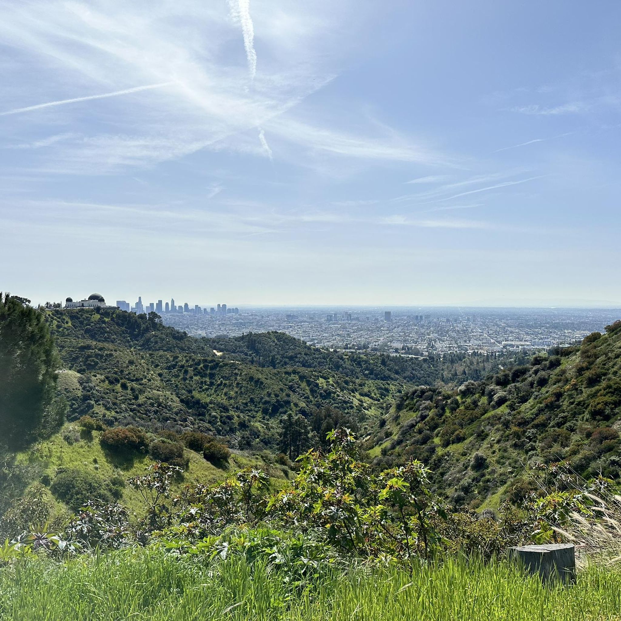
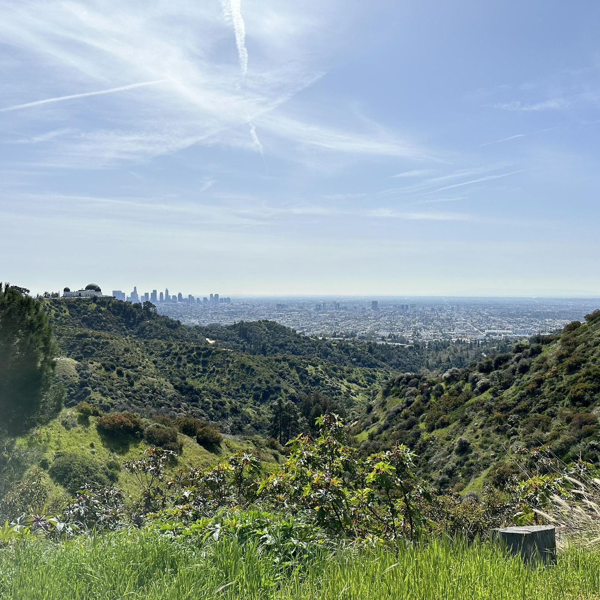
Ernest E. Debs Regional Park is rich in natural beauty and offers stunning views. You can enjoy panoramic views of the Los Angeles skyline, the San Gabriel Mountains, and the Arroyo Seco canyon from elevated points. The serene Montecito Heights Lake (Debs Pond/Peanut Lake) is a tranquil spot, home to turtles and various bird species. The park is also characterized by native California walnut and oak woodlands, providing a natural, green reprieve.
Are there any circular touring cycling routes in the park?
Yes, many routes in Ernest E. Debs Regional Park are designed as loops, allowing you to start and end at the same point. Examples include the Lower Arroyo Park loop from Southwest Museum and the Flint Peak Loop, which offer varied distances and difficulties.
What do other touring cyclists enjoy most about cycling in Ernest E. Debs Regional Park?
The area is highly rated by the komoot community, with an average score of 4.7 stars from over 100 reviews. Reviewers often praise the park's diverse landscapes, the rewarding panoramic views of the Los Angeles skyline, and the peaceful escape offered by the native woodlands despite its urban location. The mix of paved and unpaved sections also provides variety for touring cyclists.
Is Ernest E. Debs Regional Park accessible by public transport?
Ernest E. Debs Regional Park is an urban oasis in central-northeast Los Angeles, making it generally accessible. While specific public transport routes to trailheads may vary, its location within the city means it's served by Los Angeles Metro bus lines. It's advisable to check the latest public transport schedules and routes to plan your journey to the park.
Are there connections to other major cycling trails from Ernest E. Debs Regional Park?
Yes, the park provides excellent connections to other significant cycling paths. It offers access to the Arroyo Seco Trail, a paved Class I bicycle path that winds through the historic Arroyo Seco canyon. Furthermore, the park's proximity and connection to the Los Angeles River Trail (also known as the Los Angeles River Bike Path) extends touring possibilities, though portions of this longer trail also include dirt surfaces.
What is the best time of year to go touring cycling in Ernest E. Debs Regional Park?
Given Los Angeles's generally mild climate, touring cycling in Ernest E. Debs Regional Park is enjoyable year-round. However, spring and fall offer particularly pleasant temperatures for outdoor activities. During summer, it's best to cycle in the mornings or late afternoons to avoid the midday heat, taking advantage of the shaded sections provided by the native woodlands.
Are there any routes that offer views of Eagle Rock or other distant landmarks?
Yes, some routes provide expansive views of the surrounding areas. The View of Eagle Rock loop from Highland Park is a difficult 28.5-mile route that offers scenic vistas, including distant landmarks like Eagle Rock, as it traverses the park's hilly terrain.
Most popular routes in Ernest E. Debs Regional Park

Get inspired with the komoot mobile app


Explore more
Browse the best Cycling routes in other regions.
