The best running trails in Callahan State Park
5.0
(2)
420
runners
81
runs
Jogging routes in Callahan State Park offer a diverse landscape for runners, featuring an extensive network of trails winding through forests, open fields, and wetlands. The park spans over 800 acres, providing varied terrain from mostly paved paths to more challenging sections with small hills and uneven ground. Numerous ponds and streams enhance the scenic appeal, while rolling hills contribute to the varied elevation changes experienced on the routes.
Best jogging routes in Callahan State Park
- The most popular jogging route is Coco Ridge Trail – Birch Trail Kicker loop from Overly Conservation Restriction, a 5.0 miles (8.1 km) trail that takes about 1 hour to complete. This moderate route offers a mix of forest paths and open areas.
- Another top favourite among local runners is Beebe Pond – Callahan State Park Trails loop from City Forest, a moderate 6.0 miles (9.7 km) path. This route explores the park's varied ecosystems, including sections near ponds and through wooded areas.
- Local runners also love the Running loop from Westgate Development, a 5.8 miles (9.3 km) trail leading through diverse parkland, often completed in about 1 hour 6 minutes.
- Jogging in Callahan State Park is defined by extensive trail networks, open fields, and numerous ponds. The park's routes offer options for different ability levels, from easy, non-technical paths to more challenging trails with varied terrain.
- The routes in Callahan State Park are highly rated by the komoot community with an average score of 5.0 stars from 3 reviews. More than 400 runners have used komoot to explore Callahan State Park's varied terrain.
Last updated: October 5, 2026
12
runners
19.1km
02:23
270m
270m
Hard run. Very good fitness required. Mostly paved surfaces. Suitable for all skill levels.
12
runners
Hard run. Very good fitness required. Mostly paved surfaces. Suitable for all skill levels.

5.0
(1)
8
runners
7.94km
00:49
20m
20m
Moderate run. Good fitness required. Mostly paved surfaces. Suitable for all skill levels.
3
runners
8.15km
00:51
40m
40m
Moderate run. Good fitness required. Mostly paved surfaces. Suitable for all skill levels.
10
runners
15.5km
01:37
70m
70m
Hard run. Very good fitness required. Mostly paved surfaces. Suitable for all skill levels.
Get access to more routes and recommendations from other explorers.
Already have an account?
Our route recommendations are based on thousands of hikes, rides, and runs completed by other people on komoot.
Start today with a free account
Your next adventure awaits.

Tips from the Community


old stuff "hand over" to the public use. Really good
2
0
Old rail way and now a good bike way. This is an example for reusage of stuff
2
0

The Bruce Freeman Rail Trail is a nice, wide paved path that runs through several communities from Lowell to Framingham and follows the 25-mile route of the old New Haven Railroad Framingham & Lowell line. It's a fantastic scenic route that passes various beautiful landscapes and charming small ponds and is widely popular for cyclists, hikers, and runners.
0
0

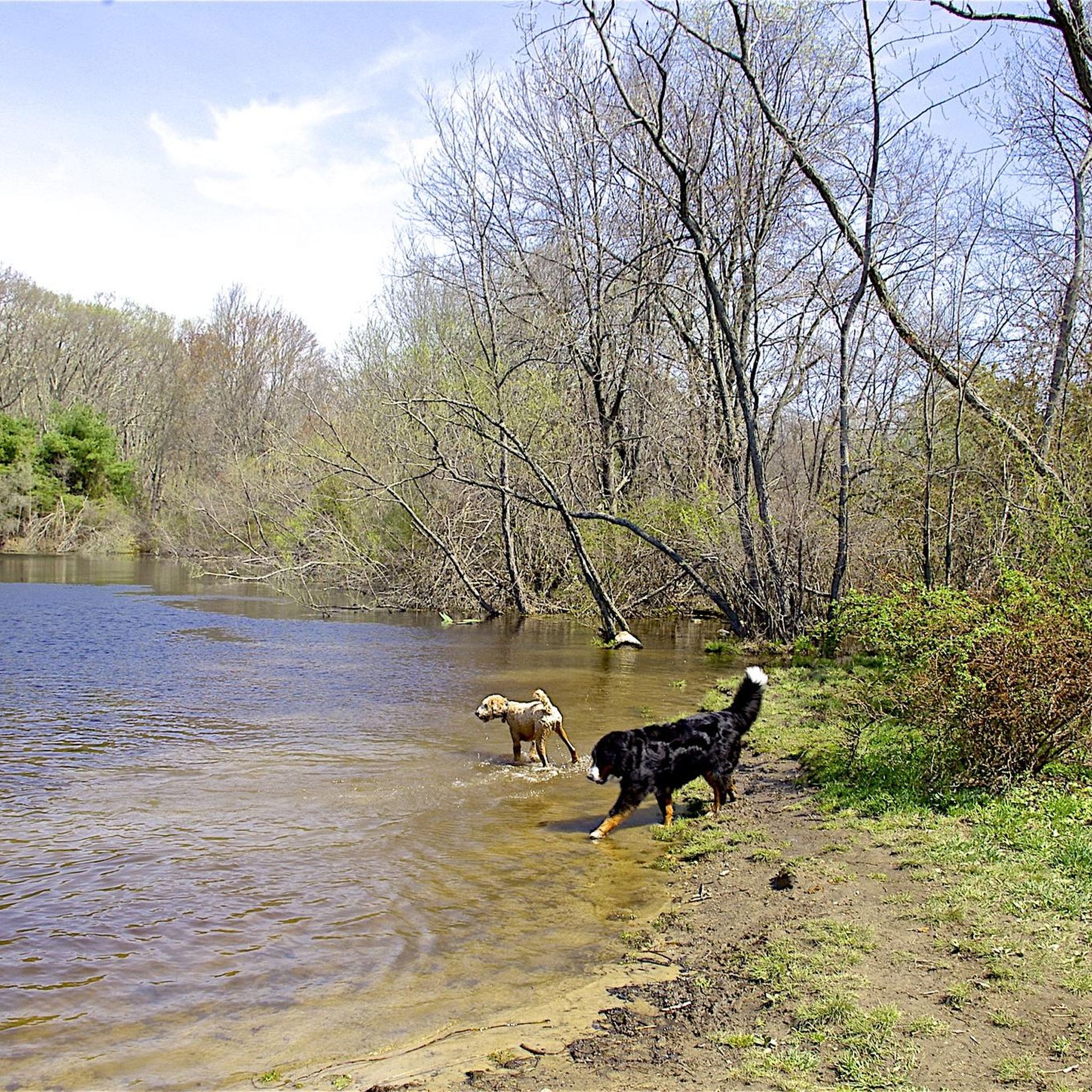
Eagle Pond is one of two reservoirs within Callahan State Park. Even though it's the smaller of the two (Packard Pond is the larger pond), it's located in the middle of the park and is the most popular. It's the perfect spot to let your dog cool off if he came with you on your ride.
0
0
Eagle Pond is one of two reservoirs within Callahan State Park. Even though it's the smaller of the two (Packard Pond is the larger pond), it's located in the middle of the park and is the most popular. It's the perfect spot to let your dog cool off if he came jogging with you.
0
0

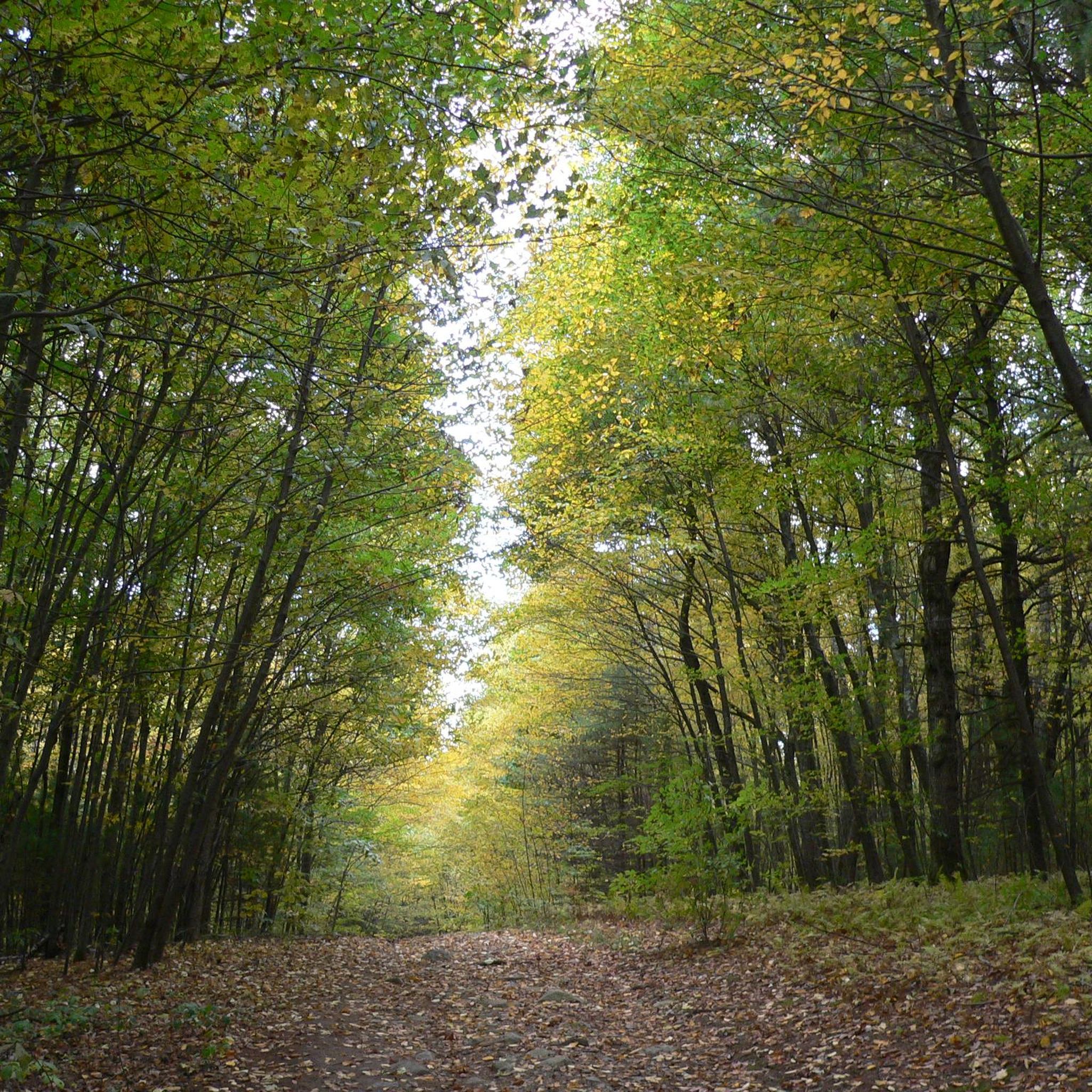
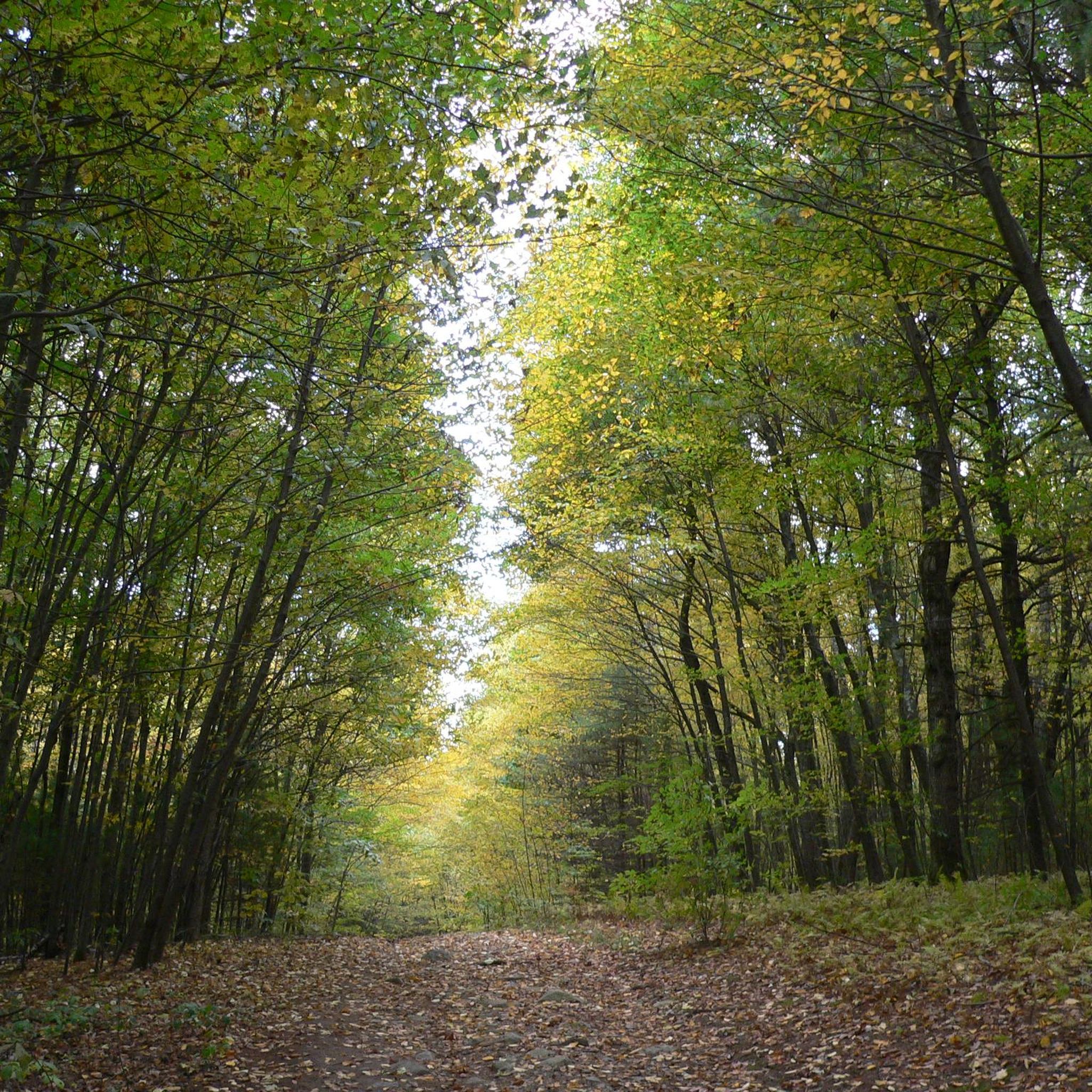
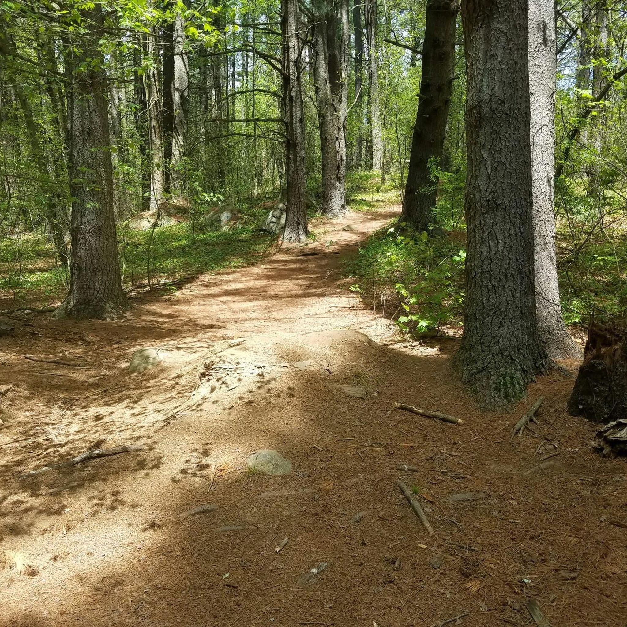
The Callahan State Park in Massachusetts offers an extensive trail network with wooded paths, open fields and scenic reservoir views. With well-marked routes, you can enjoy a mix of natural landscape while engaging in outdoor activities.
0
0

The trails here were at one time blocked off for those visiting Callahan State Park but access between the two is now possible. A walk through the woods and along the fields is always relaxing.
0
0
Frequently Asked Questions
How many running routes are available in Callahan State Park?
Callahan State Park offers a wide selection of running routes, with over 80 different tours available on komoot. These range in difficulty from easy to difficult, ensuring options for all fitness levels.
What kind of terrain can I expect on the jogging trails in Callahan State Park?
The park features a diverse landscape for runners, with trails winding through forests, open fields, and wetlands. You'll find varied terrain, from mostly paved, easy paths suitable for beginners, to more challenging sections with uneven ground, small hills, steep sections, rocks, and roots.
Are there any dog-friendly trails for running in Callahan State Park?
Yes, Callahan State Park is very dog-friendly! Dogs are welcome on most interior trails and in the Eagle Pond area, typically under voice control. It's a popular spot for dogs to play and swim.
What are some scenic spots or landmarks to look out for while jogging?
The park offers several scenic views and points of interest. You can enjoy picturesque ponds like Eagle Pond, or seek out viewpoints such as the Red Tail Trail View of Callahan State Park. There's also the Fire Tower and Radio Tower, which adds a unique landmark to your run.
Are there any family-friendly running routes suitable for beginners?
Absolutely. Callahan State Park has routes that cater to all skill levels, including easy, non-technical paths perfect for families or those new to running. These trails often feature mostly paved sections and gentle inclines.
What wildlife might I encounter on the trails?
The park's diverse ecosystem supports various wildlife. While running, you might spot white-tailed deer, red foxes, and coyotes. The ponds and wetlands are home to beavers, otters, and various waterfowl, making it a great place for nature observation.
What do other runners enjoy most about jogging in Callahan State Park?
The running routes in Callahan State Park are highly rated by the komoot community, with an average score of 5.0 stars from 3 reviews. Over 400 runners have used komoot to explore the park, often praising its extensive trail networks, varied terrain, and the beauty of its open fields and numerous ponds.
Are there any long-distance or challenging running routes?
Yes, for those seeking a greater challenge, Callahan State Park offers several difficult routes. For example, the Coco Ridge Trail – Birch Trail Kicker loop from Westgate Development is a challenging 16.2 km (10.1 miles) route, and the Bruce Freeman Rail Trail loop from Nobscot Scout Reservation covers 18.1 km (11.2 miles).
What is the best time of year to go running in Callahan State Park?
Callahan State Park is open year-round, but spring and fall are particularly ideal for running. These seasons offer vibrant foliage, mild weather, and comfortable conditions for exploring the trails.
Are there any circular running routes in the park?
Yes, many of the park's trails are designed as loops, offering a convenient way to explore without retracing your steps. Popular options include the Coco Ridge Trail – Birch Trail Kicker loop from Overly Conservation Restriction and the Beebe Pond – Callahan State Park Trails loop from City Forest.
Where can I find parking for the running trails?
Callahan State Park provides various parking areas for trail access. A main entrance with facilities is available, such as the one highlighted at Callahan State Park (entrance). Specific trailheads often have dedicated parking lots, so it's advisable to check the starting point of your chosen route for the most convenient access.
What should I wear for running in Callahan State Park, especially in cooler weather?
Given the varied terrain and potential for uneven ground, sturdy running shoes with good grip are recommended. In cooler weather, layering is key, as conditions can change. Consider moisture-wicking base layers, a light jacket, and appropriate headwear and gloves, especially if you plan to run on trails with exposed sections or at higher elevations.
Most popular routes in Callahan State Park
Most popular attractions in Callahan State Park

Get inspired with the komoot mobile app


Explore more
Browse the best Running Trails & Routes in other regions.
