The best walks and hikes in Glen Valley Regional Park
5.0
(10)
106
hikers
10
hikes
Hiking in Glen Valley Regional Park offers trails through diverse natural features and scenic landscapes. The park is characterized by oak woodlands, extensive frontage along the Fraser River, and freshwater tidal flats. These features provide varied terrain for hikers, ranging from shaded paths to riverside walks. The park's location along the Fraser River also offers views of the Northside mountains.
Best hiking trails in Glen Valley Regional Park
- The most popular hiking route is Silverdale Creek Wetland Trail loop, a 0.9 miles (1.4 km) trail that takes 21 minutes to complete. This easy route explores the park's wetland areas.
- Another top favourite among local hikers is Williams Park loop — Langley, an easy 0.7 miles (1.1 km) path. This trail offers views of the Fraser River and passes through a park setting.
- Local hikers also love the Iron Mountain Lookout loop, a 1.9 miles (3.1 km) trail leading through varied terrain with an elevation gain of 627 feet (191 m), often completed in about 1 hour 20 minutes.
- Hiking in Glen Valley Regional Park is defined by oak woodlands, Fraser River frontage, and tidal flats. The network offers options for easy, moderate, and difficult routes.
- The routes in Glen Valley Regional Park are highly rated by the komoot community with an average score of 5.0 stars from over 9 reviews. More than 80 hikers have used komoot to explore Glen Valley Regional Park's varied terrain.
Last updated: July 9, 2026
8
hikers
3.14km
01:20
190m
190m
Hard hike. Great for any fitness level. Sure-footedness, sturdy shoes and alpine experience required.
5
hikers
1.37km
00:21
0m
0m
Easy hike. Great for any fitness level. Easily-accessible paths. Suitable for all skill levels.

Sign up for free
1.07km
00:16
0m
0m
Easy hike. Great for any fitness level. Easily-accessible paths. Suitable for all skill levels.
16.7km
05:35
750m
750m
Hard hike. Very good fitness required. Mostly accessible paths. Sure-footedness required.
5.0
(1)
14
hikers
18.1km
04:56
270m
270m
Moderate hike. Good fitness required. Easily-accessible paths. Suitable for all skill levels.
Get access to more routes and recommendations from other explorers.
Sign up for free
Already have an account?
Our route recommendations are based on thousands of hikes, rides, and runs completed by other people on komoot.
Start today with a free account
Your next adventure awaits.
Login or Signup
Popular around Glen Valley Regional Park

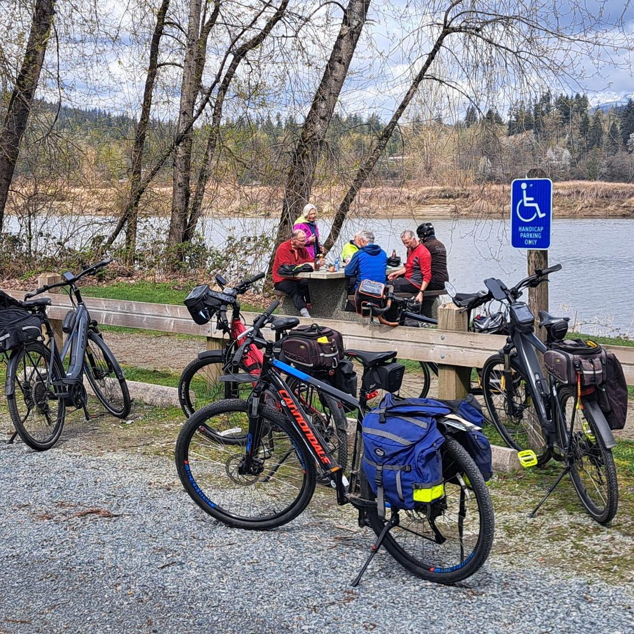
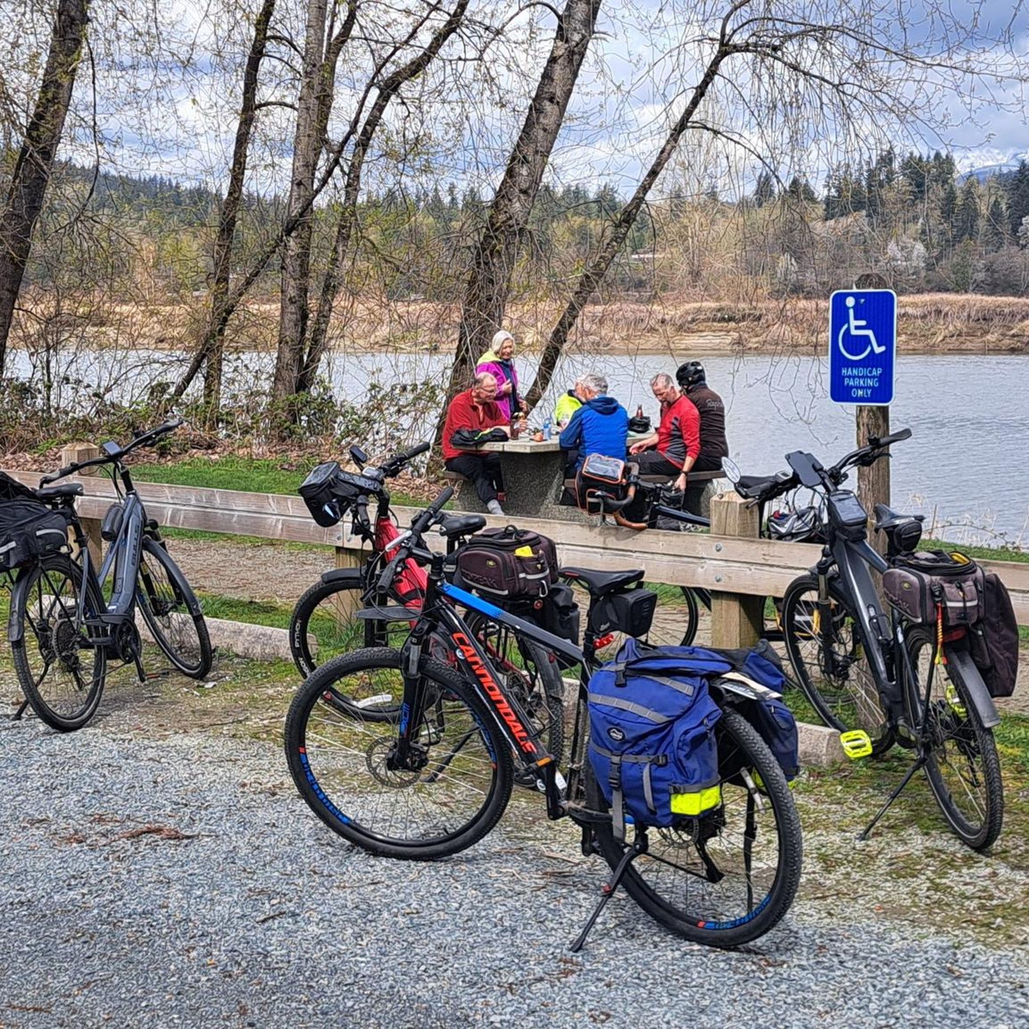
Tips from the Community

This lower lookout sits on a rocky outcrop along the descending section of the trail, offering a clear view of Hayward Lake and the surrounding valley, even though it’s at a slightly lower elevation. Unlike the main viewpoint, it provides a more peaceful, alternative perspective rather than the broad panoramic vista, and is the perfect spot for a scenic break before heading back down the trail.
0
0
The upper lookout is the main viewpoint on Iron Mountain, reached after a steeper final climb through forest and rocky sections. It opens onto a wide, elevated outcrop with beautiful, expansive views over the Fraser Valley and surrounding mountains. The higher elevation and more exposed setting make it the most rewarding and scenic point along the route.
0
0
Outer Limits Trail is a multi-use route on Iron Mountain that climbs steadily through forest on a network of shared biking and hiking trails. It follows a mix of singletrack and wider paths, with sections that can be steep, rooty, and occasionally muddy. The trail connects to several viewpoints near the summit, with branching routes that require some navigation if you're looking to extend your hike beyond the viewpoint areas.
0
0

Blue Mountain Forest Service Road is accessed through McNutt Road and is the gateway to dozens of trails in the Blue Mountain Recreation Site. It is also a great climb or descent on the way back, perfect for walking or biking side by side with a friend, as it's wide enough for two people.
0
0
Blue Mountain Recreation Site in Maple Ridge is a large, undeveloped area enjoyed by mountain bikers and hikers. Here, service roads and trails spiderweb across the forest. It is a black bear habitat, so be aware at all times.
0
0
From here, right at the base of the summit of Blue Mountain, there is a break in the trees and a flat clearing. The view from here extends southwest toward the Fraser River and the urban area below. There is a small log bench, the perfect spot to take photos or to enjoy a snack and a break.
0
0
Silverdale Creek supports trout and Pacific salmon species, including coho, chum, pink, and chinook. The wetlands around the creek are especially important for juvenile salmon. This area is protected and full of aquatic, mammalian, and amphibian life.
0
0
To access the Silverdale Creek Wetland Trail park on the road just to the east of the bridge passing over Silverdale Creek on Silverdale Avenue. There are pullouts on both sides of the road. The trailhead has three yellow pillars to stop vehicles from entering the trail and a large "Silverdale Creek Wetland" sign.
0
0
Frequently Asked Questions
How many hiking trails are available in Glen Valley Regional Park?
Glen Valley Regional Park offers a selection of 13 hiking trails, catering to various preferences. You'll find 7 easy routes, 5 moderate options, and 1 more challenging trail.
Are the trails in Glen Valley Regional Park suitable for families with children?
Yes, many trails in Glen Valley Regional Park are considered easy and suitable for all skill levels, making them ideal for families. The paths are generally well-maintained and can be completed in about 30 to 45 minutes, perfect for shorter outings with kids. For an easy, scenic option, consider the Williams Park loop — Langley.
Can I bring my dog on the hiking trails in Glen Valley Regional Park?
Absolutely! Glen Valley Regional Park is very dog-friendly. Leashed dogs are welcome on the trails, and you'll even find poop bags provided for your convenience, ensuring a pleasant experience for all visitors.
What kind of landscapes can I expect to see while hiking in Glen Valley Regional Park?
The park boasts diverse and serene landscapes. You'll hike through beautiful oak woodlands, enjoy direct access to the Fraser River with expansive views of the Northside mountains, and encounter extensive freshwater tidal flats that support a rich ecosystem. Large cottonwood trees also line the riverbanks, adding to the scenic beauty.
Are there any circular hiking routes in Glen Valley Regional Park?
Yes, the park features several circular routes. A popular easy option is the Silverdale Creek Wetland Trail loop, which explores the park's wetland areas. For a longer, more challenging circular hike, you might consider the Blue Mountain Trail loop.
What are the typical trail lengths and durations in Glen Valley Regional Park?
The park's trails vary in length, with many shorter options perfect for a quick outing. A typical hike might take around 30 to 45 minutes to complete. For example, the Silverdale Creek Wetland Trail loop is about 1.4 km and takes around 21 minutes, while the Salmon River loop from Fort Langley is 5.4 km and typically takes about 1 hour 23 minutes.
What do other hikers enjoy most about Glen Valley Regional Park?
The area is highly rated by the komoot community, with an average score of 4.6 stars from over 20 reviews. Hikers often praise the park's serene riverside setting, the peaceful oak woodlands, and the accessibility of its trails for various fitness levels. The views of the Fraser River and the Northside mountains are also frequently highlighted.
Are there any historical points of interest in or near Glen Valley Regional Park?
While hiking in the park, you can learn about the historical significance of the Hassall House, built in 1917. This former rural farm residence once served as Glen Valley's first store, post office, and wharf, acting as a riverboat stop. Although now a private residence, it adds a touch of local history to the park's surroundings.
What other activities can be done in Glen Valley Regional Park besides hiking?
Beyond hiking, the park's access to the Fraser River makes it a popular spot for various water sports, including canoeing, kayaking, and boating. It's also a well-known location for fishing, particularly for salmon, sturgeon, and trout, drawing anglers from across the Lower Mainland.
Is there parking available at Glen Valley Regional Park?
Yes, parking is available at Glen Valley Regional Park, making it convenient for visitors to access the trails and amenities. Specific parking areas are typically well-marked upon arrival.
Are the trails in Glen Valley Regional Park shared with other users?
Yes, the trails in Glen Valley Regional Park are multi-use. While popular with hikers, the paths are also shared with horses and cyclists, so it's good to be aware and respectful of other users during your visit.
Most popular routes in Glen Valley Regional Park

Get inspired with the komoot mobile app


Explore more
Browse the best Hikes in other regions.
