The best walks and hikes around Jabing
4.6
(142)
827
hikers
112
hikes
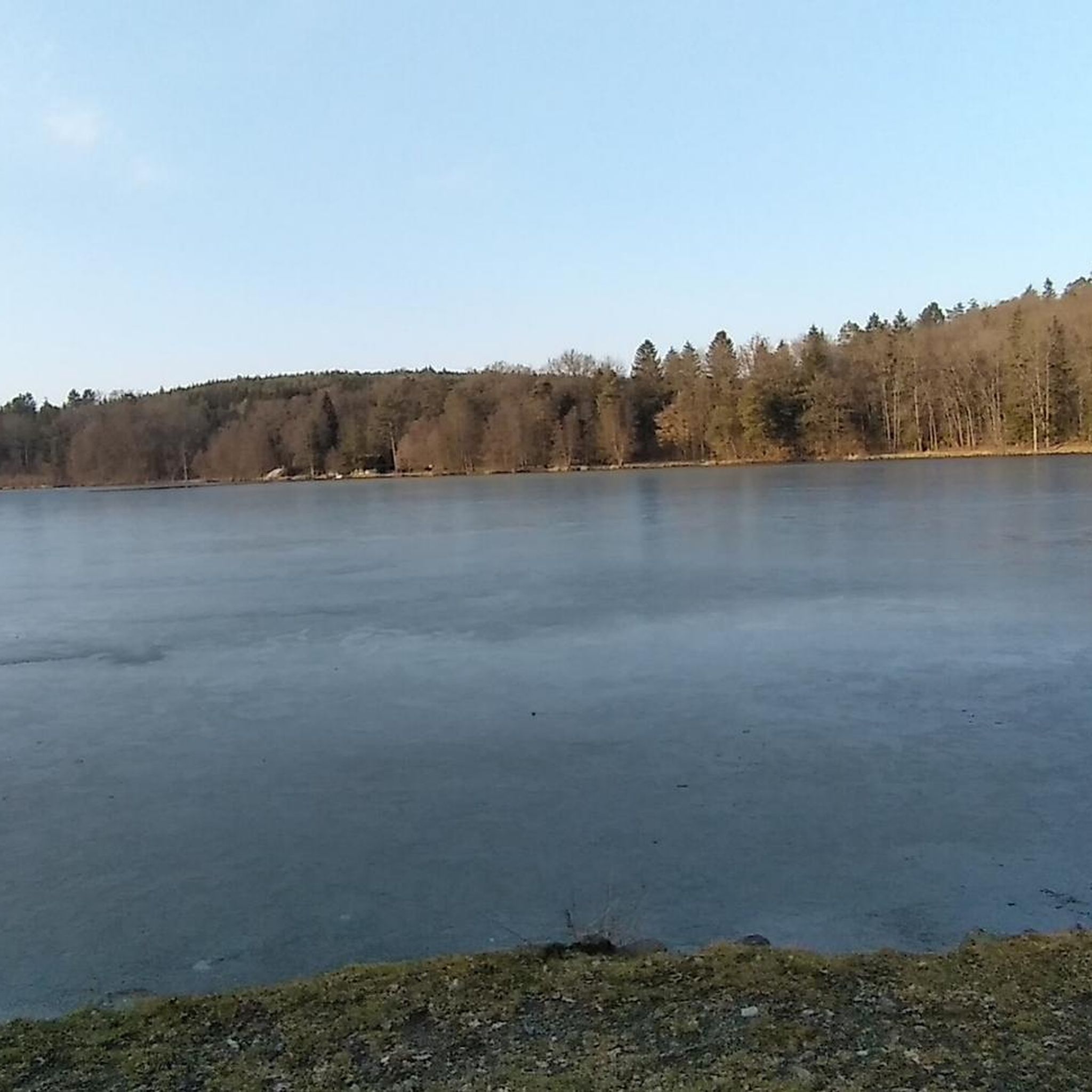
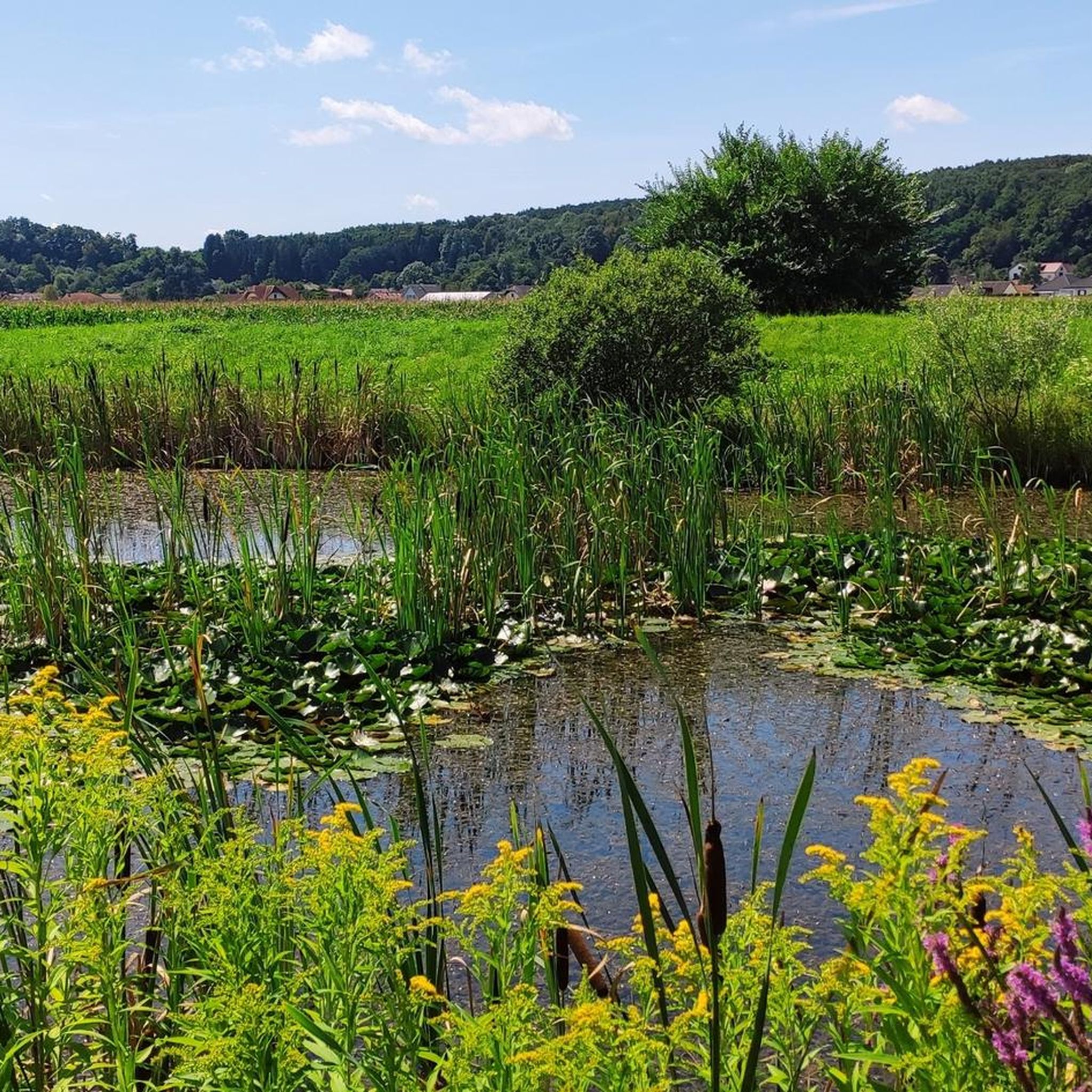
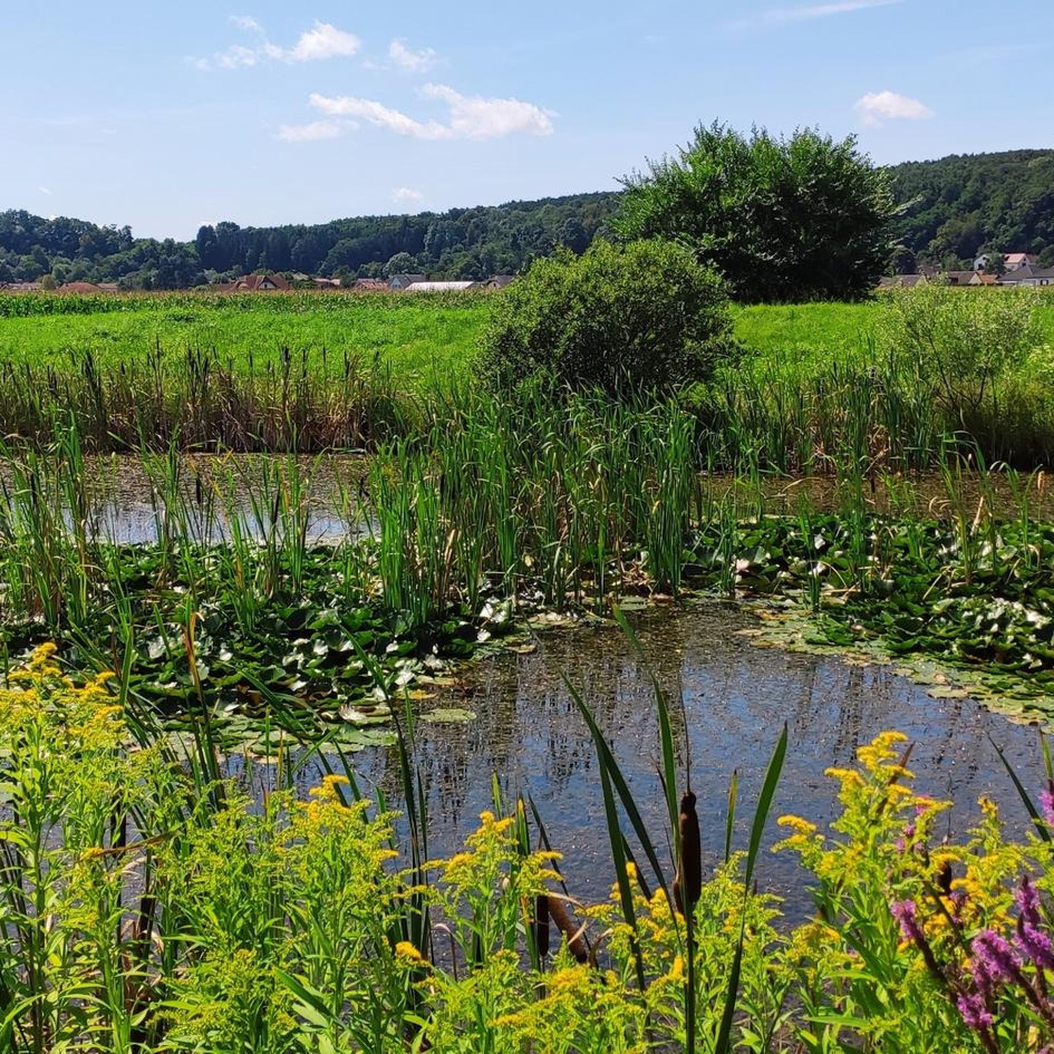
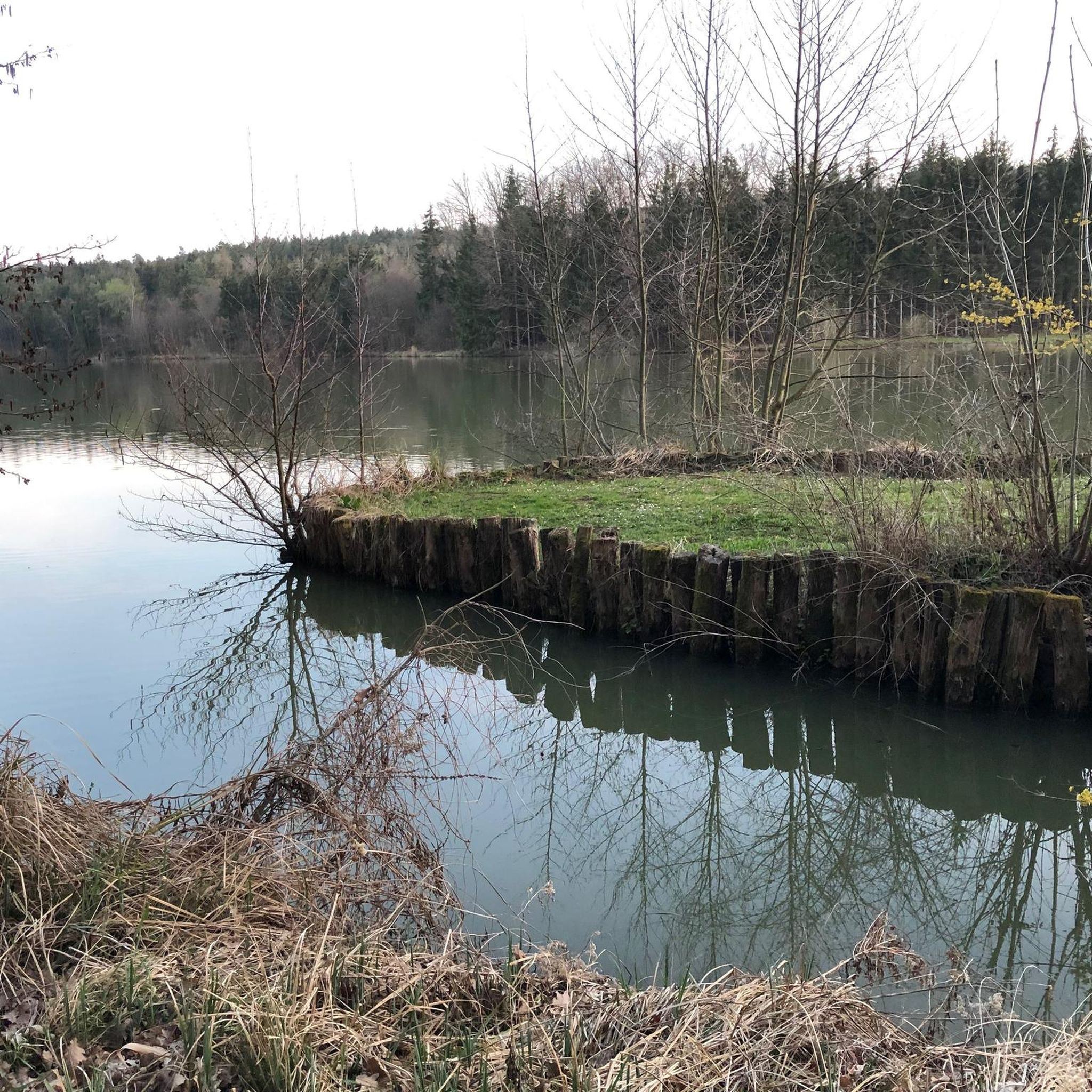
Hiking around Jabing, located in Austria's Burgenland state, offers diverse landscapes characterized by rolling hills and gentle paths. The region features vineyards, expansive plains, lush forests, and meadows, providing varied scenery for outdoor activities. Ascents are generally not steep, making trails accessible for different fitness levels. The area also includes fish ponds in the Rohrbach and Teichbach valleys, contributing to its tranquil environment.
Best hiking trails in Jabing
- The most popular hiking route is Hiking loop from Großpetersdorf, a…
Last updated: July 10, 2026
11
hikers
Moderate hike. Good fitness required. Easily-accessible paths. Suitable for all skill levels.
6
hikers
5.13km
01:19
20m
20m
Easy hike. Great for any fitness level. Easily-accessible paths. Suitable for all skill levels.

Sign up for free
5.0
(2)
9
hikers
Moderate hike. Good fitness required. Easily-accessible paths. Suitable for all skill levels.
6
hikers
7.32km
01:53
40m
40m
Easy hike. Great for any fitness level. Easily-accessible paths. Suitable for all skill levels.
3
hikers
Easy hike. Great for any fitness level. Easily-accessible paths. Suitable for all skill levels.
Get access to more routes and recommendations from other explorers.
Sign up for free
Already have an account?
Our route recommendations are based on thousands of hikes, rides, and runs completed by other people on komoot.
Start today with a free account
Your next adventure awaits.
Login or Signup
Tips from the Community

The Protestant church (A.B.) was built between 1820 and 1823. Right next to the church, you will also find resting places.
0
0
You'll find this fountain right next to the church. However, it does not carry drinking water! All around you will also find some resting and refreshment stops.
0
0
The beautiful, imposing church dominates the main square here. All around you will also find some places to rest and eat. Right next to the church, there is also a fountain.
0
0
Beautiful view into the Pinkatal. Especially in good weather, a photo spot.
0
0

Also called Baumgartner Kreuz. Named after the noble donor.
0
0
Frequently Asked Questions
How many hiking trails are available around Jabing?
The Jabing region offers a wide variety of hiking opportunities, with over 120 recorded routes. These include options for all skill levels, from leisurely strolls to more extensive treks.
What kind of terrain can I expect on hikes around Jabing?
Hikes around Jabing are characterized by diverse and gentle landscapes. You'll find rolling hills, vineyards, expansive plains, lush forests, steppes, and colorful meadows. The region also features serene fish ponds in valleys like Rohrbach and Teichbach, providing varied scenery without overly steep ascents.
What is the best time of year to go hiking in Jabing?
Jabing benefits from a mild Pannonian climate, boasting around 300 days of sunshine annually. This makes it an excellent destination for hiking throughout much of the year, with spring and autumn offering particularly pleasant temperatures and vibrant natural colors.
Are there easy hiking options suitable for beginners or families?
Yes, Jabing is very family-friendly, with many trails suitable for all fitness levels. Over 60 of the routes are classified as easy, featuring gentle paths and minimal elevation gain. An example is the Koi Ponds Oberdorf – KOI — Dining by the Pond loop from KOI, an easy 3.2-mile path exploring serene pond areas.
Are there any challenging hikes for experienced trekkers?
While the region is known for its gentle terrain, there are a few more challenging options for experienced hikers. The highest elevation in Southern Burgenland, Geschriebenstein (884 meters), offers a more demanding hike with an observation tower at its summit providing panoramic views. Within the immediate Jabing area, there are 5 routes classified as difficult for those seeking a greater challenge.
Are there any circular hiking routes in the Jabing area?
Many of the hiking routes around Jabing are designed as circular loops, allowing you to start and end at the same point. For instance, the popular Hiking loop from Großpetersdorf is a 4.5-mile trail that winds through the gentle terrain, perfect for a round trip.
What natural features or viewpoints can I expect to see?
Hikers can enjoy a variety of natural features, including the popular fish ponds in the Rohrbach and Teichbach valleys. The Friedhofswiesen Jabing is a small nature reserve with diverse meadow types. For panoramic views, a hike to Geschriebenstein, the highest point in Southern Burgenland, offers an observation tower at its summit. You'll also traverse vineyards and lush forests.
Are there any historical sites or attractions near the hiking trails?
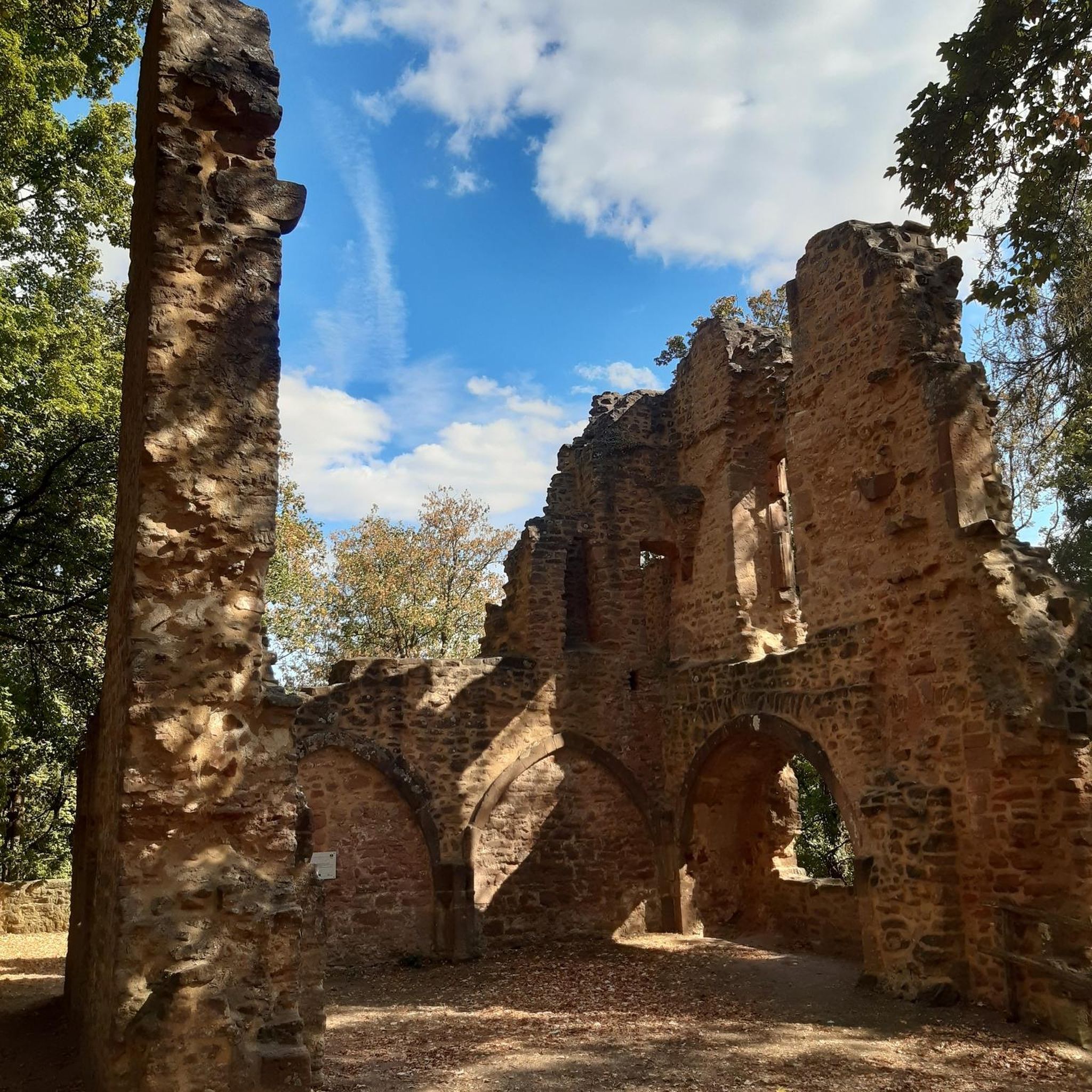
Yes, the region boasts several historical attractions. Notably, Schlaining Castle, considered one of Austria's best-preserved medieval castles, is well worth a visit. Another point of interest is Rotenturm Castle. These sites offer a glimpse into Burgenland's rich history.
What do other hikers enjoy most about hiking in Jabing?
The hiking trails in Jabing are highly rated by the komoot community, with an average score of 4.6 stars from over 160 reviews. Hikers often praise the region's diverse and gentle landscapes, the well-maintained paths, and the serene atmosphere, particularly around the fish ponds and through the vineyards.
Can I bring my dog on the hiking trails in Jabing?
While specific regulations for dogs can vary, generally, dogs are welcome on most hiking trails in the Burgenland region, provided they are kept on a leash and owners clean up after them. It's always advisable to check local signage or specific trail rules for any restrictions.
Are there long-distance hiking trails accessible from Jabing?
Yes, for those seeking longer excursions, Jabing is located near significant long-distance trails. The 'Bernstein Trail,' a 310 km route across Burgenland, and the 'Alpannonia long-distance hiking trail,' which connects the Alps with the Pannonian Plain, both traverse the wider region, offering extensive trekking opportunities.
Are there options for combining hiking with cycling in the area?
Absolutely. In addition to hiking, the region is popular for cycling. You can find routes like the Southern Burgenland Cycling Route and paths developed along former railway lines, such as the Bahntrassen Cycle Path Oberwart–Bad Tatzmannsdorf and the Großpetersdorf–Rechnitz Rail Trail, offering diverse outdoor activity choices.
Most popular attractions around Jabing

Get inspired with the komoot mobile app


Explore more
Browse the best Hikes in other regions.
