The best walks and hikes around Landkreis Emmendingen
4.6
(22872)
87,322
hikers
2,249
hikes
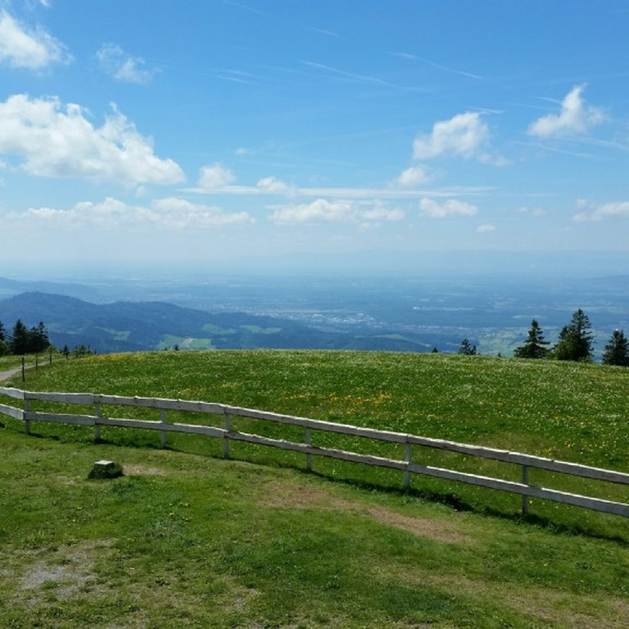
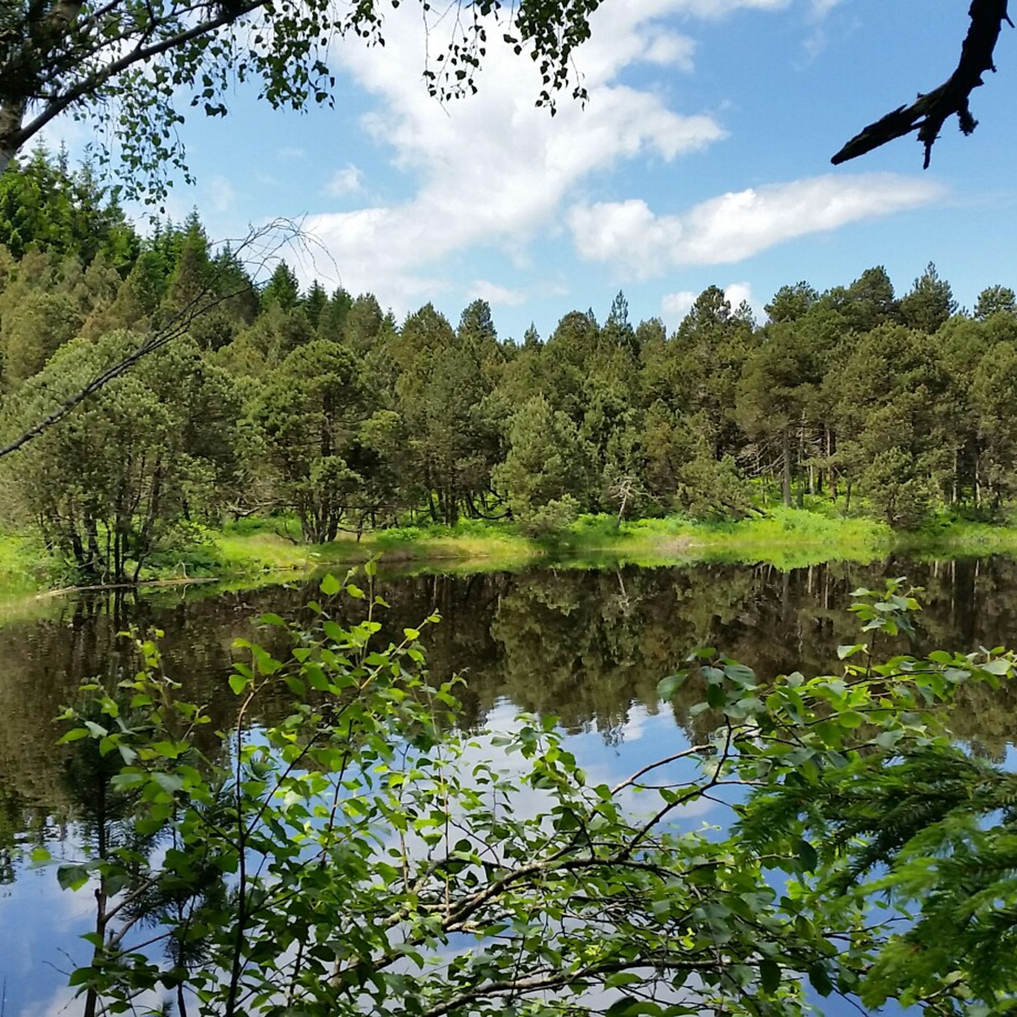
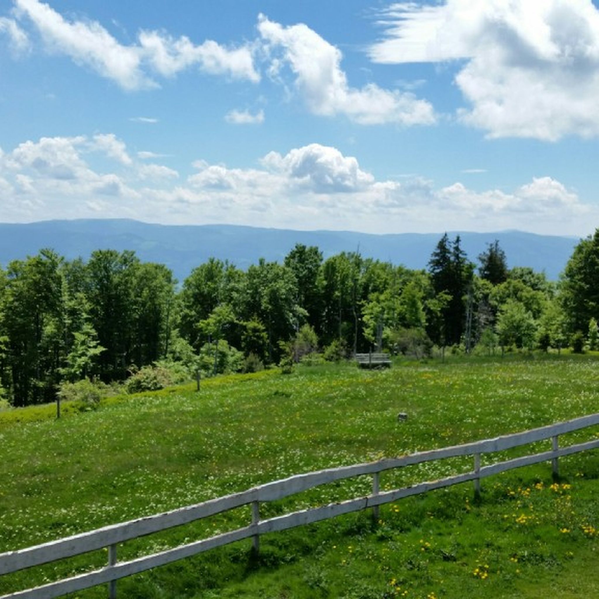
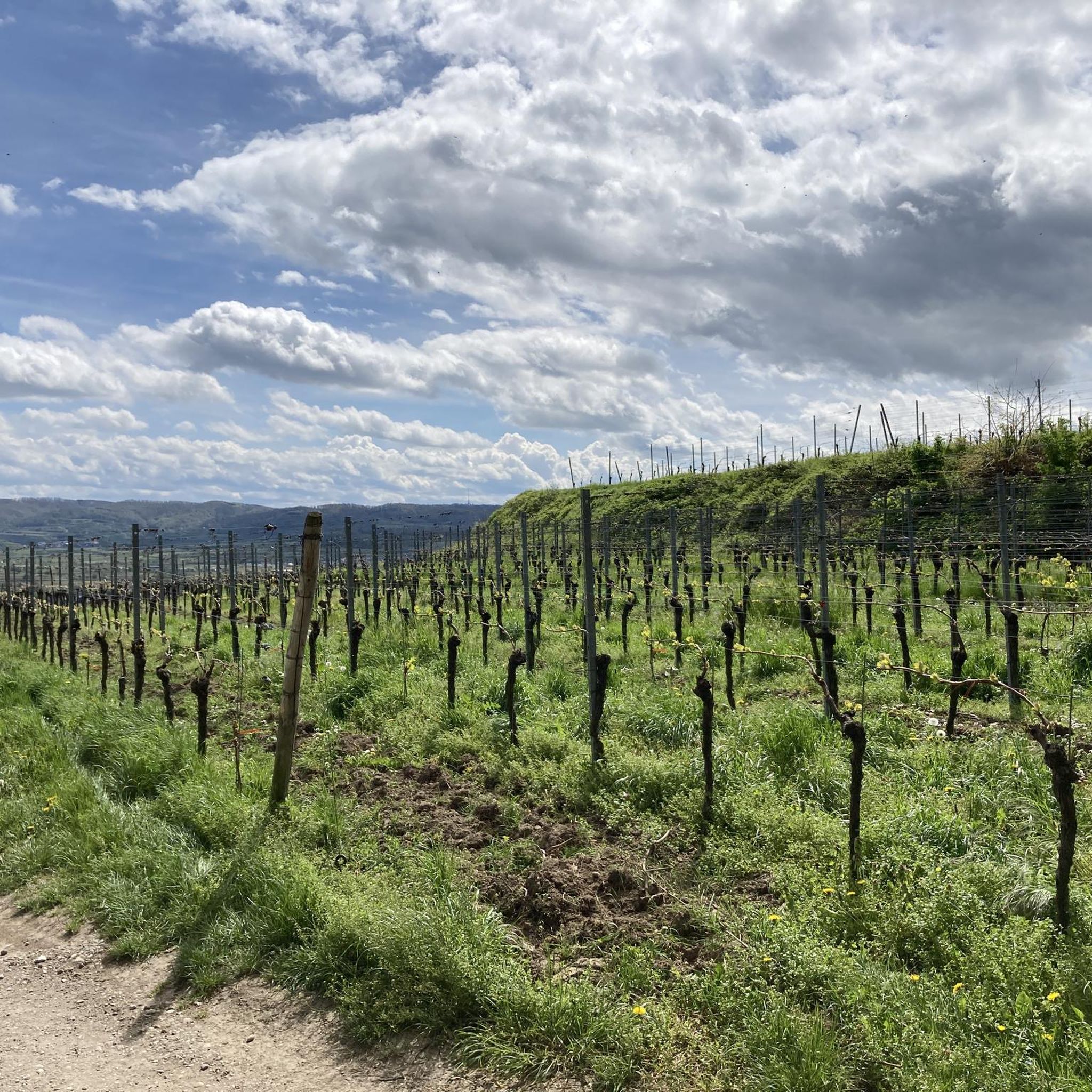
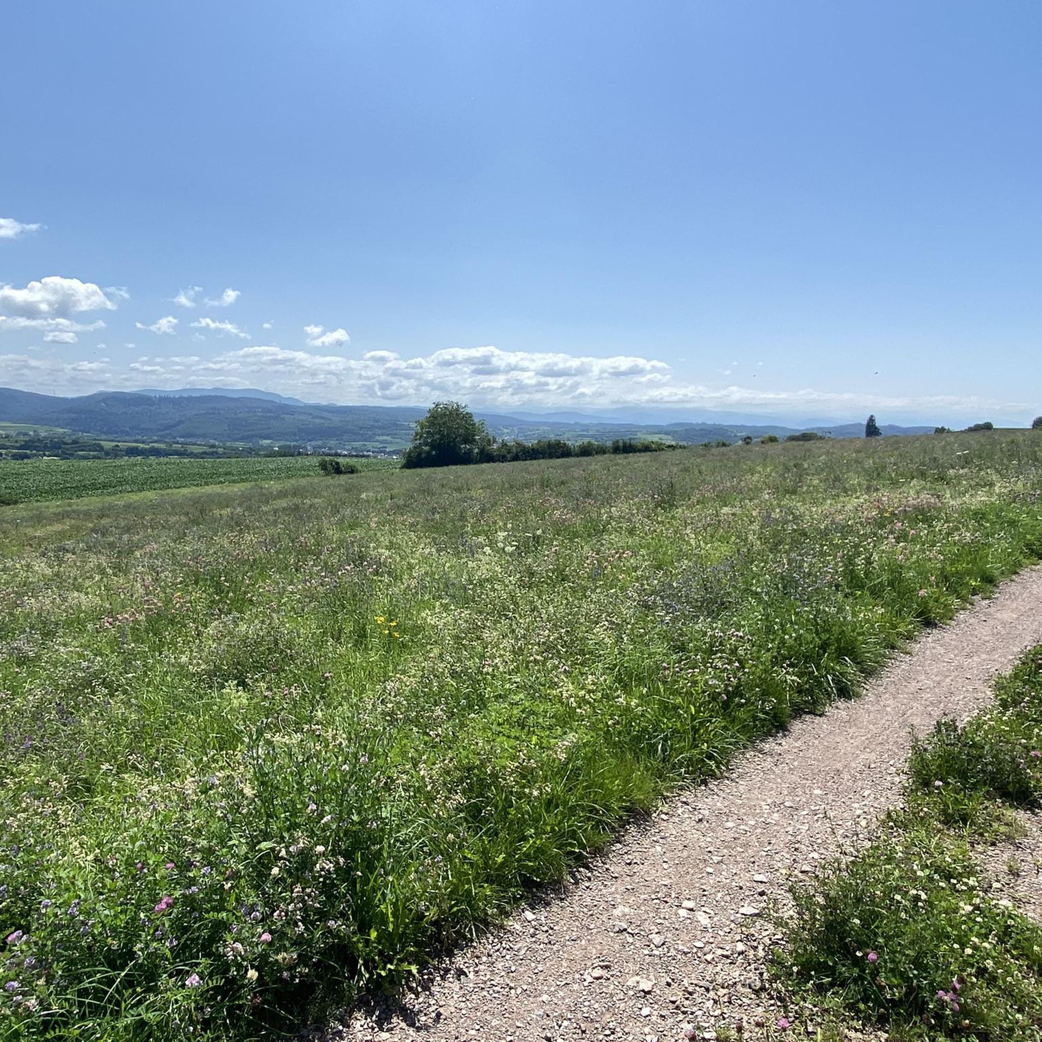
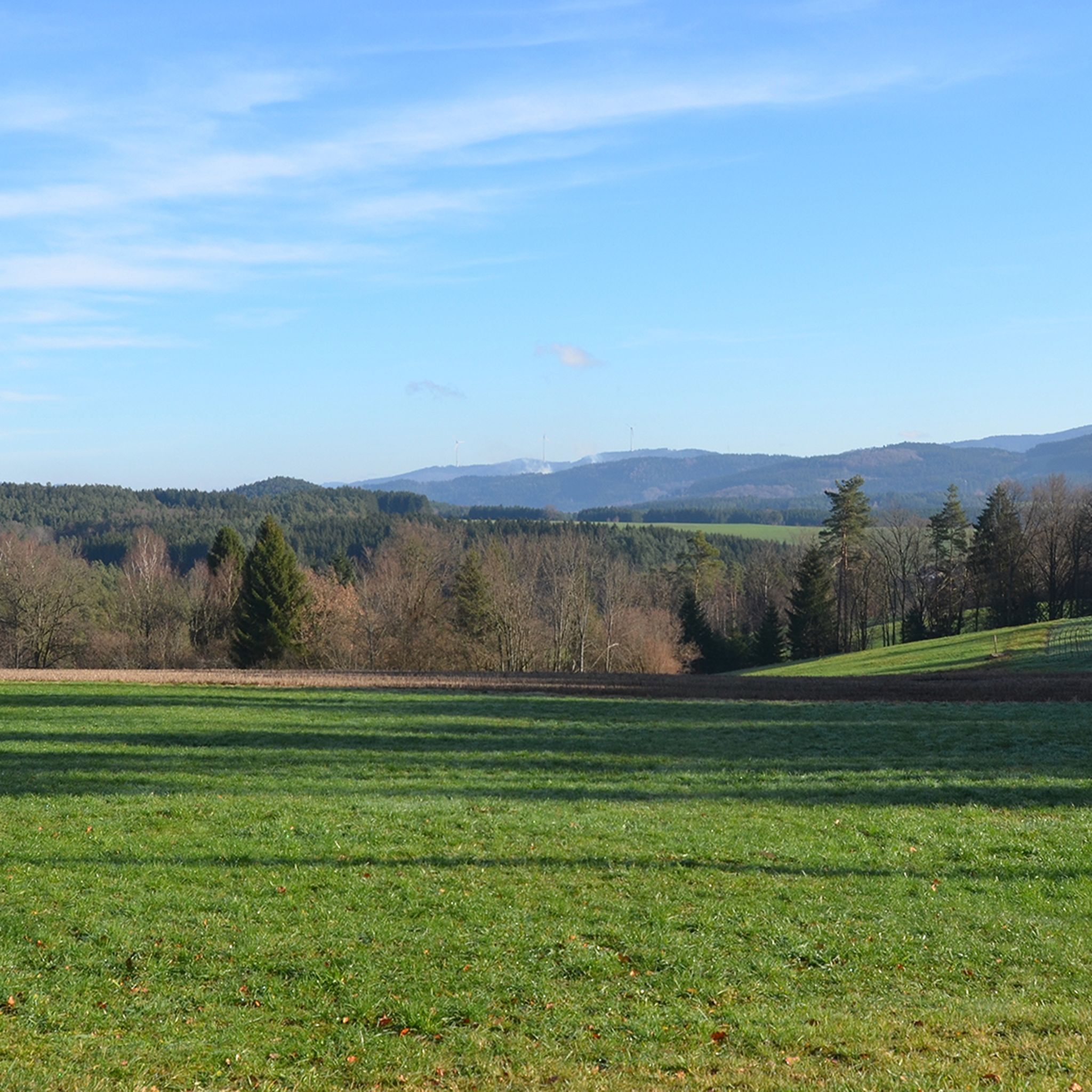
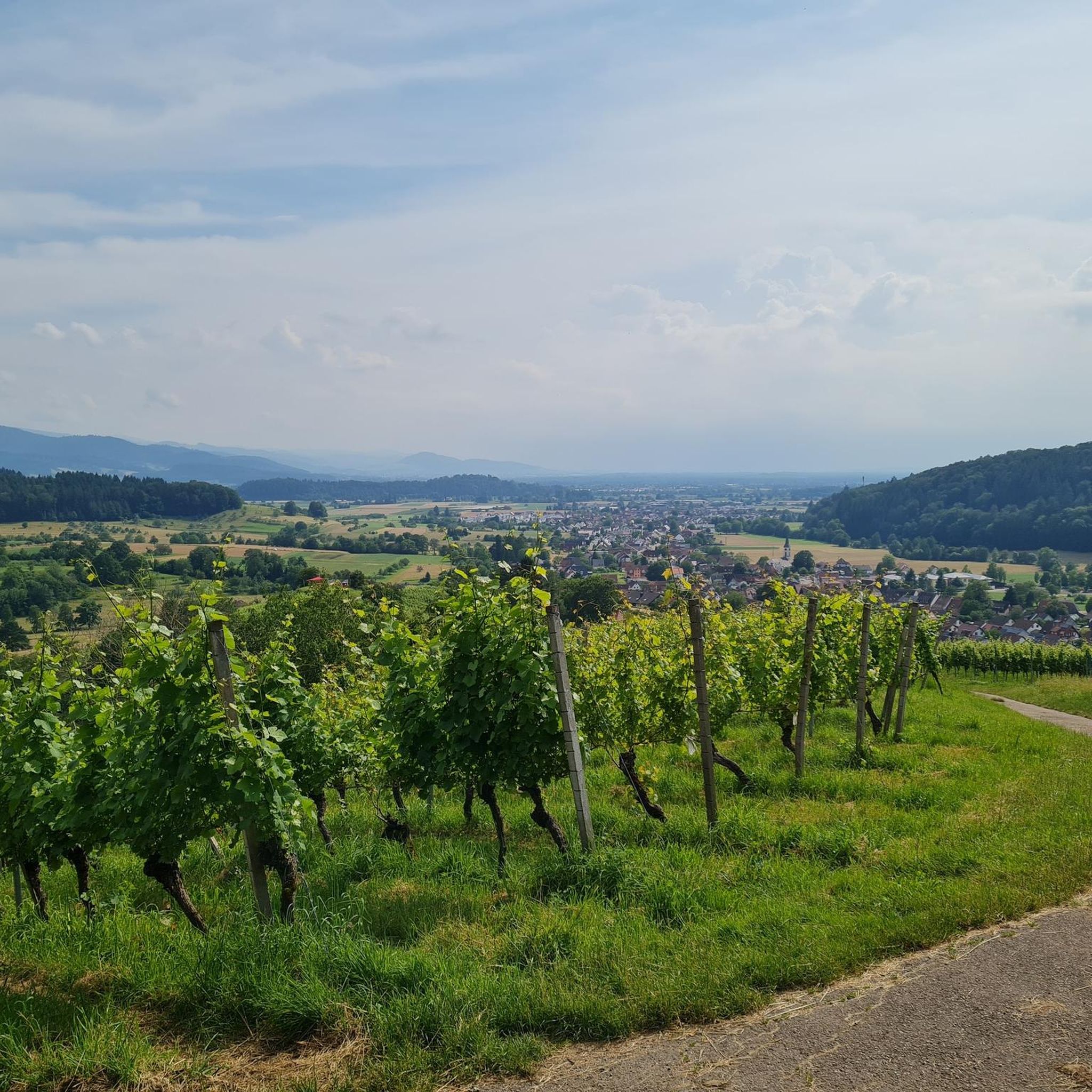
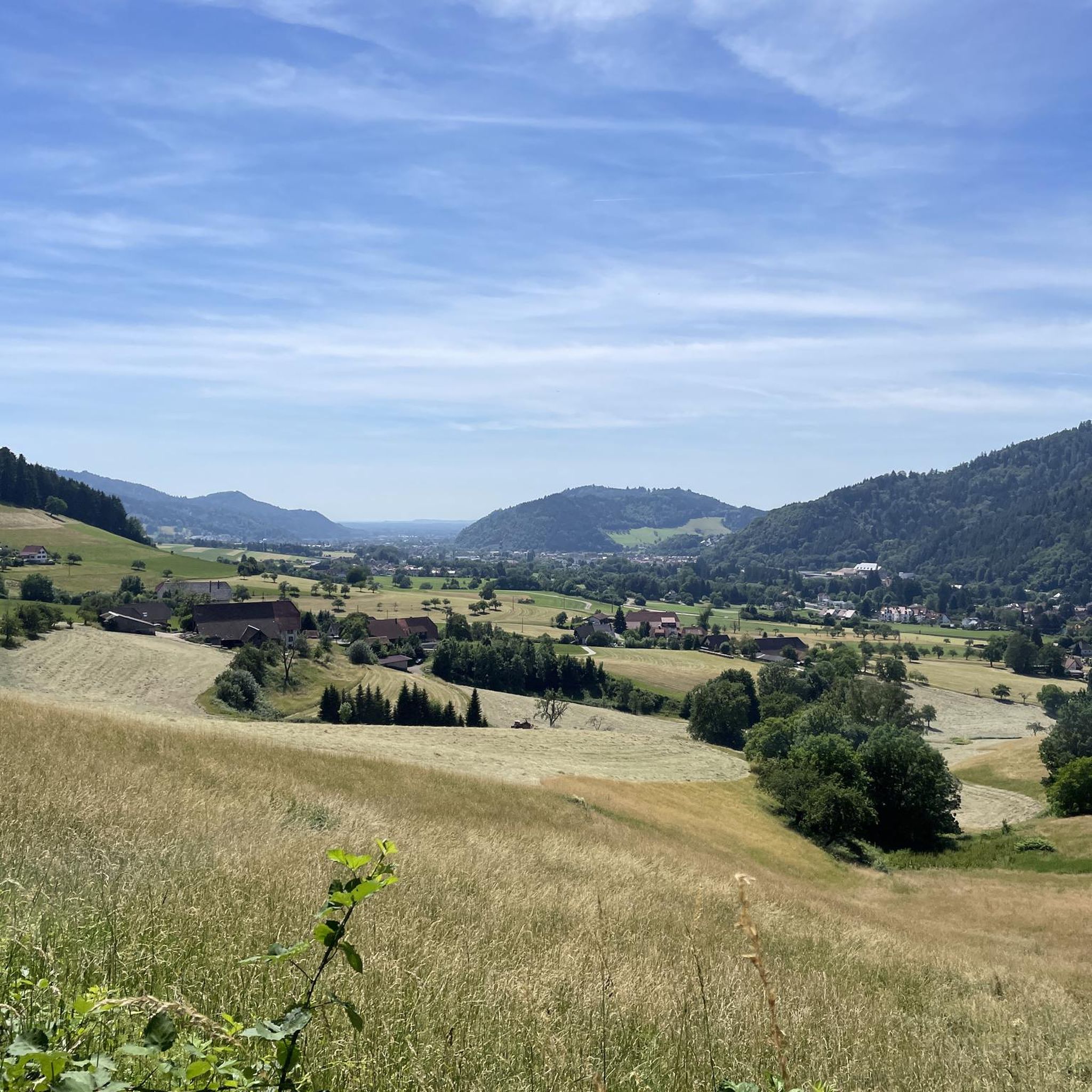
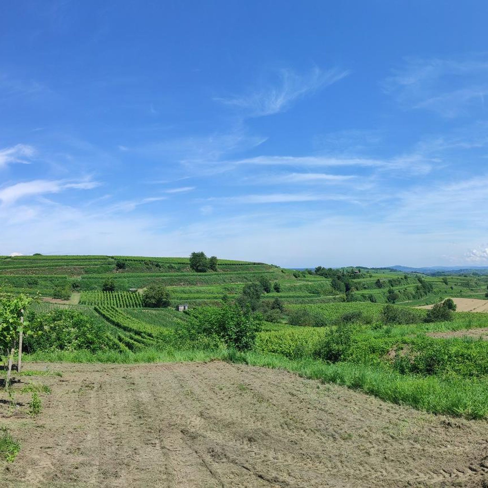
Hiking around Landkreis Emmendingen offers diverse landscapes, from rolling hills and extensive forests to lush vineyards and the scenic Upper Rhine Plain. The region is situated in the southwestern part of Germany, bordering the Black Forest, which provides access to numerous trails. Notable features include the Kandelgipfel, standing at 1241 meters, and the Zweribach Waterfalls. Several nature reserves contribute to the area's natural beauty and varied terrain.
Best hiking trails around Landkreis Emmendingen
- The most popular hiking route is Kandel Tour (Josef-Seger-Weg) - Black Forest, a 4.5 miles (7.2 km) trail that takes 2 hours 19 minutes to complete. This moderate route offers views of the Kandel mountain area.
- Another top favourite among local hikers is Wildbach-Tour im Simonswald – Qualitätswandertour im Schwarzwald, a moderate 7.2 miles (11.6 km) path. This trail leads through the Simonswald area of the Black Forest, featuring varied forest and stream landscapes.
- Local hikers also love the Felsen-Tour von Elzach-Oberprechtal – Qualitätswandertour im Schwarzwald, a 7.5 miles (12.0 km) trail leading through rocky formations and Black Forest scenery, often completed in about 3 hours 50 minutes.
- Hiking around Landkreis Emmendingen is defined by rolling hills, extensive forests, and lush vineyards. The network offers options for different ability levels, from easy walks to more challenging forest trails.
- The routes in Landkreis Emmendingen are highly rated by the komoot community with an average score of 4.6 stars from over 18,000 reviews. More than 77,000 hikers have used komoot to explore Landkreis Emmendingen's varied terrain.
Last updated: July 16, 2026
4.8
(1051)
3,482
hikers
7.16km
02:19
170m
170m
Moderate hike. Good fitness required. Mostly accessible paths. Sure-footedness required.
4.8
(327)
1,077
hikers
11.6km
04:19
640m
640m
Moderate hike. Good fitness required. Mostly accessible paths. Sure-footedness required.

Sign up for free
4.8
(329)
1,076
hikers
11.8km
04:17
590m
590m
Moderate hike. Good fitness required. Mostly accessible paths. Sure-footedness required.
4.7
(260)
899
hikers
12.0km
03:50
480m
490m
Moderate hike. Good fitness required. Mostly accessible paths. Sure-footedness required.
4.7
(316)
1,083
hikers
9.26km
02:47
290m
290m
Moderate hike. Good fitness required. Mostly accessible paths. Sure-footedness required.
4.8
(115)
467
hikers
21.6km
06:31
690m
670m
Hard hike. Very good fitness required. Mostly accessible paths. Sure-footedness required.
4.8
(115)
467
hikers
21.6km
06:32
690m
680m
Hard hike. Very good fitness required. Mostly accessible paths. Sure-footedness required.
4.8
(173)
574
hikers
11.2km
03:19
320m
320m
Moderate hike. Good fitness required. Easily-accessible paths. Suitable for all skill levels.
4.8
(172)
569
hikers
11.1km
03:21
360m
360m
Moderate hike. Good fitness required. Mostly accessible paths. Sure-footedness required.
4.7
(126)
487
hikers
11.7km
03:33
390m
390m
Moderate hike. Good fitness required. Easily-accessible paths. Suitable for all skill levels.
Get access to more routes and recommendations from other explorers.
Sign up for free
Already have an account?
Our route recommendations are based on thousands of hikes, rides, and runs completed by other people on komoot.
Start today with a free account
Your next adventure awaits.
Login or Signup
Other adventures around Landkreis Emmendingen


Tips from the Community

Unfortunately, the Hintereck is temporarily closed.
0
0


On the one hand, the Goldener Kopf hut is here as a perfect resting place, on the other hand, there is a beautiful viewpoint with a view into the Elztal valley and onto the heights.
0
0

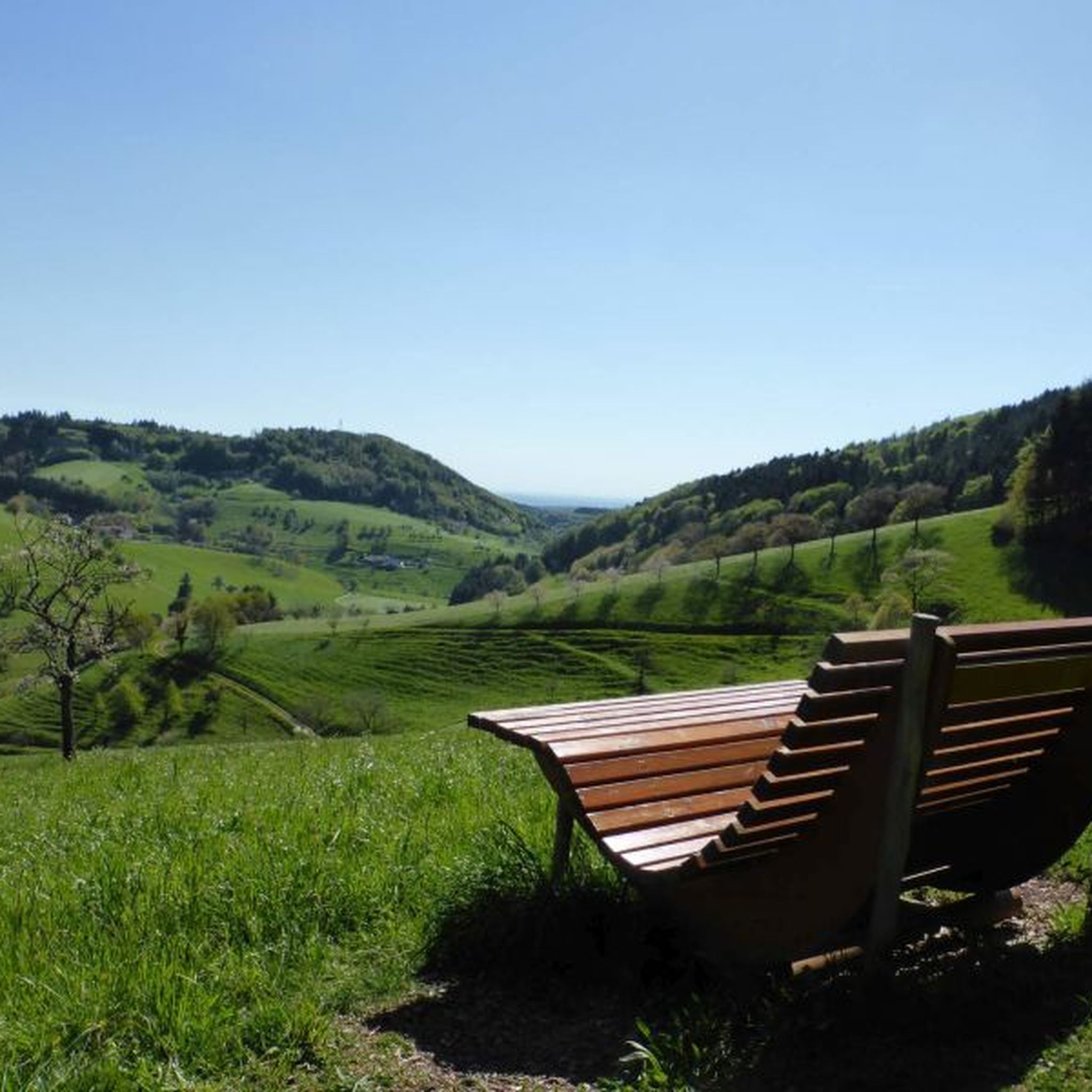
From the rest bench at this spot, you have a beautiful view over the hills down to Biederbach.
0
0


The Bauernmühle of the Wehrlehof was built in 1879. Below the farm, where the Dobelbächle trickles into the valley, you will find the restored mill. As the stream carries little water, a tension pond was created as a water reservoir. The mill can be visited.
0
0
The Schwanenhof Mill is somewhat hidden. Unfortunately, it is located on private property and cannot be visited.
0
0

Panoramic view and very nice place
0
0
Frequently Asked Questions
How many hiking trails are available in Landkreis Emmendingen?
Landkreis Emmendingen offers a vast network of over 2,200 hiking trails. These routes cater to all levels, from easy strolls through vineyards to more challenging ascents in the Black Forest foothills.
Are there hiking trails suitable for beginners or casual walkers?
Yes, there are over 1,200 easy hiking routes in Landkreis Emmendingen. Many of these paths wind through the scenic Upper Rhine Plain, rolling hills, and vineyards, offering gentle gradients and beautiful landscapes. An example of an easy route is the Glottertal – vineyards Tour in Unterglottertal.
What kind of challenging hikes can I find in Landkreis Emmendingen?
For those seeking a challenge, the region offers over 100 difficult trails, particularly as you venture towards the Black Forest. These routes often feature significant elevation changes and rugged terrain. The Kaiserstuhl Trail from Endingen to Ihringen is an example of a more demanding route.
Are there any waterfalls to see while hiking in the region?
Yes, the Zweribach Waterfalls are a notable natural highlight within the breathtaking Bannwald. Hiking to these waterfalls offers a rewarding experience, though some sections can be challenging.
Where can I find the best viewpoints in Landkreis Emmendingen?
The region boasts several impressive viewpoints. The Kandel Summit and Lookout Pavilion offers expansive views, often rising above the valley fog. Other excellent spots include the Hünersedel Observation Tower and the Thomashütte, which provides panoramic vistas over the Glottertal and Rhine Valley.
What natural features define the hiking experience in Landkreis Emmendingen?
Hiking in Landkreis Emmendingen is characterized by its diverse topography. You'll encounter rolling hills, extensive forests, lush vineyards, and the scenic Upper Rhine Plain. The region's proximity to the Black Forest also means access to its renowned natural beauty, including landmarks like the Kandel mountain and the Zweribach Waterfalls.
Are there family-friendly hiking options in Landkreis Emmendingen?
Yes, many trails are suitable for families. The varied terrain, including gentle paths through meadows and vineyards, along with several nature reserves, provides enjoyable and accessible options for all ages. Look for easy-rated trails for the most family-friendly experiences.
Can I bring my dog on the hiking trails in Landkreis Emmendingen?
Landkreis Emmendingen is generally dog-friendly, with many trails welcoming leashed dogs. It's always advisable to keep your dog on a leash, especially in nature reserves or areas with livestock, and to carry water for both yourself and your pet.
Are there many circular hiking routes available?
Yes, many of the hiking routes in Landkreis Emmendingen are designed as circular paths, allowing you to start and end your hike at the same point. This makes planning easier, especially if you're driving to the trailhead.
What cultural or historical sites can I explore along the trails?
Many trails in the region integrate historical sites and charming villages. A prominent example is the medieval Hochburg Castle ruins, which can be reached via various hiking paths. The wine trails also offer a cultural experience, often passing through vineyards and local wineries.
What do other hikers enjoy the most about hiking in Landkreis Emmendingen?
The area is highly rated by the komoot community, with an average score of 4.6 stars from over 18,000 reviews. Reviewers often praise the diverse landscapes, from the peaceful forests to the picturesque vineyards, and the well-maintained trails that cater to various skill levels.
What is the best time of year for hiking in Landkreis Emmendingen?
Spring and autumn are particularly popular for hiking, with pleasant temperatures and vibrant colors in the vineyards and forests. Summer offers warmer weather, ideal for higher Black Forest trails, while winter can provide unique opportunities for snowshoeing or crisp, clear walks, especially on trails that remain accessible.
Most popular routes around Landkreis Emmendingen
Most popular attractions around Landkreis Emmendingen

Get inspired with the komoot mobile app


Didn’t find what you were looking for?
Check out more Hikes throughout Landkreis Emmendingen below and find the perfect route in your destination.
Explore more
Browse the best Hikes in other regions.
