The best gravel rides around Marktheidenfeld
4.6
(23)
147
riders
43
rides
Gravel biking around Marktheidenfeld features a landscape shaped by the Main River valley, offering a mix of riverside paths and trails through dense woodlands. The region includes historic castles and the Hafenlohr Valley, providing varied terrain for gravel cyclists. Elevation changes are present, with routes traversing both flatter sections and more challenging climbs through forested areas. The area is characterized by its natural riverine environment and extensive forest networks.
Best gravel bike trails around Marktheidenfeld
- The most popular gravel bike…
Last updated: November 2, 2026
5.0
(4)
9
riders
Hard gravel ride. Very good fitness required. Mostly paved surfaces.
5.0
(2)
14
riders
Moderate gravel ride. Good fitness required. Mostly paved surfaces.

4.0
(1)
15
riders
Hard gravel ride. Very good fitness required. You may need to push your bike for some segments of this route.
1
riders
36.0km
03:03
820m
820m
Hard gravel ride. Very good fitness required. You may need to push your bike for some segments of this route.
16
riders
Hard gravel ride. Very good fitness required. You may need to push your bike for some segments of this route.
Get access to more routes and recommendations from other explorers.
Already have an account?
Our route recommendations are based on thousands of hikes, rides, and runs completed by other people on komoot.
Start today with a free account
Your next adventure awaits.
Popular around Marktheidenfeld
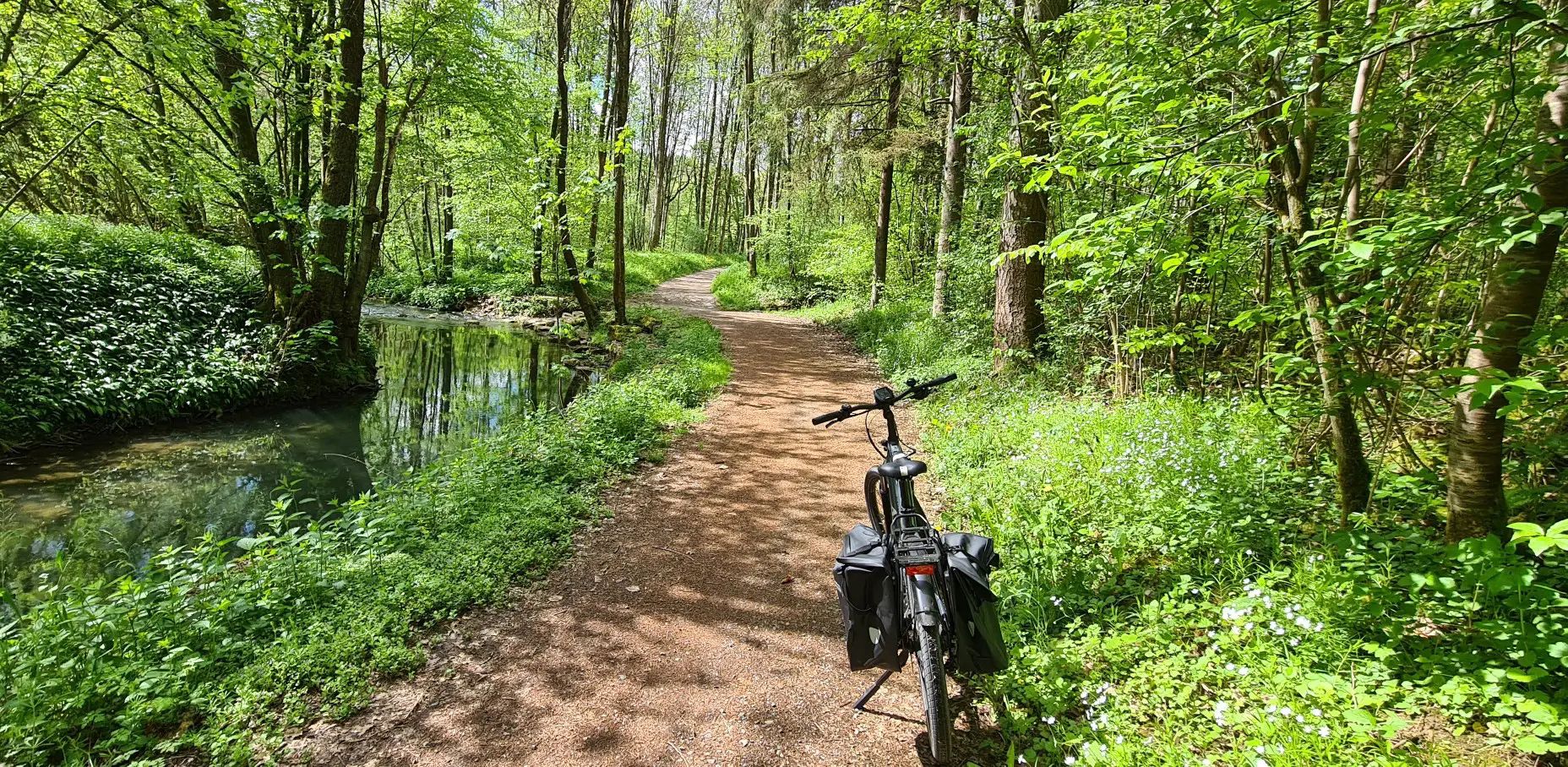
Germany's Main-Tauber-Franconian Radachter – two loops, one experience
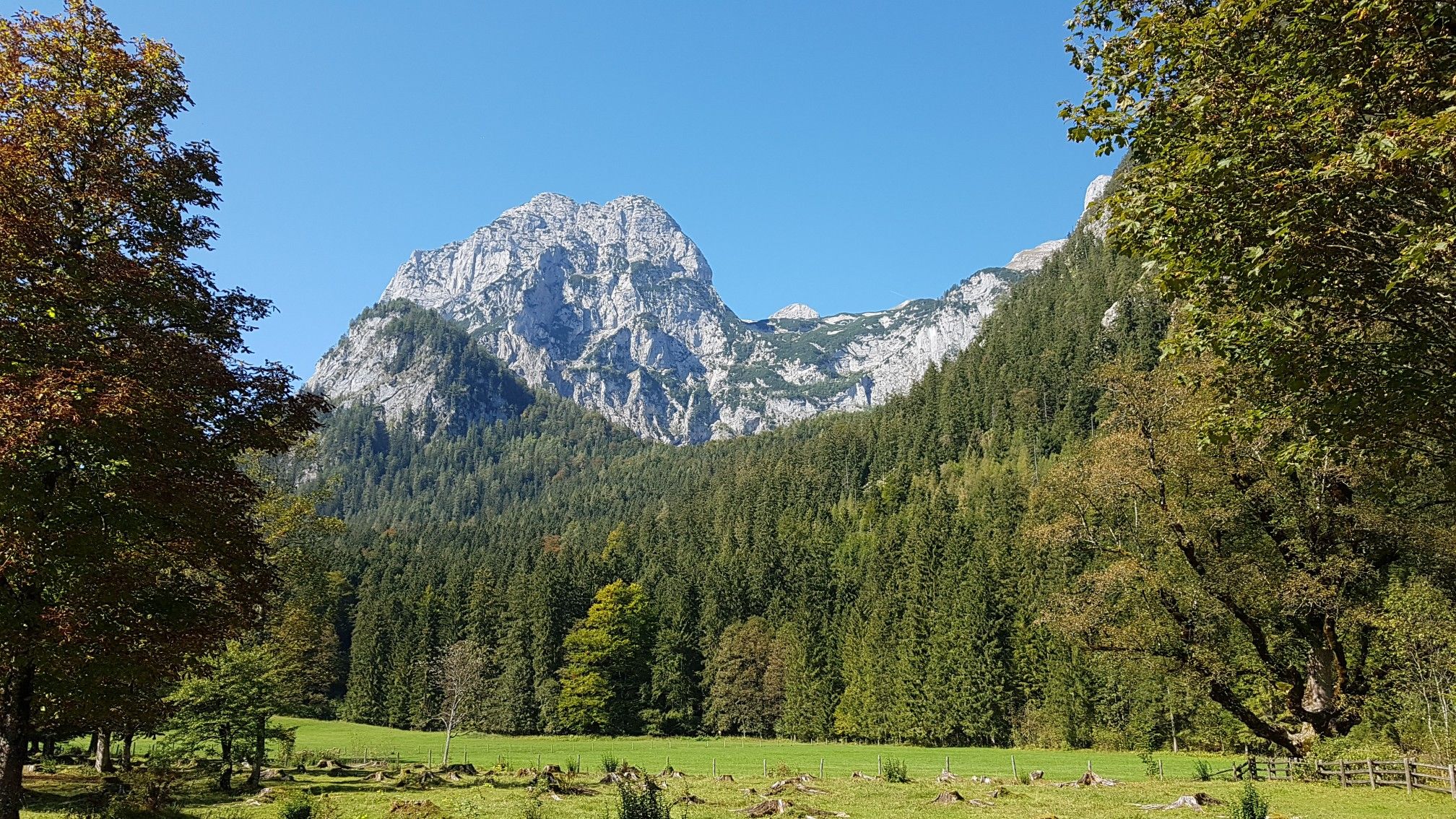
The National Natural Landscapes in Bavaria
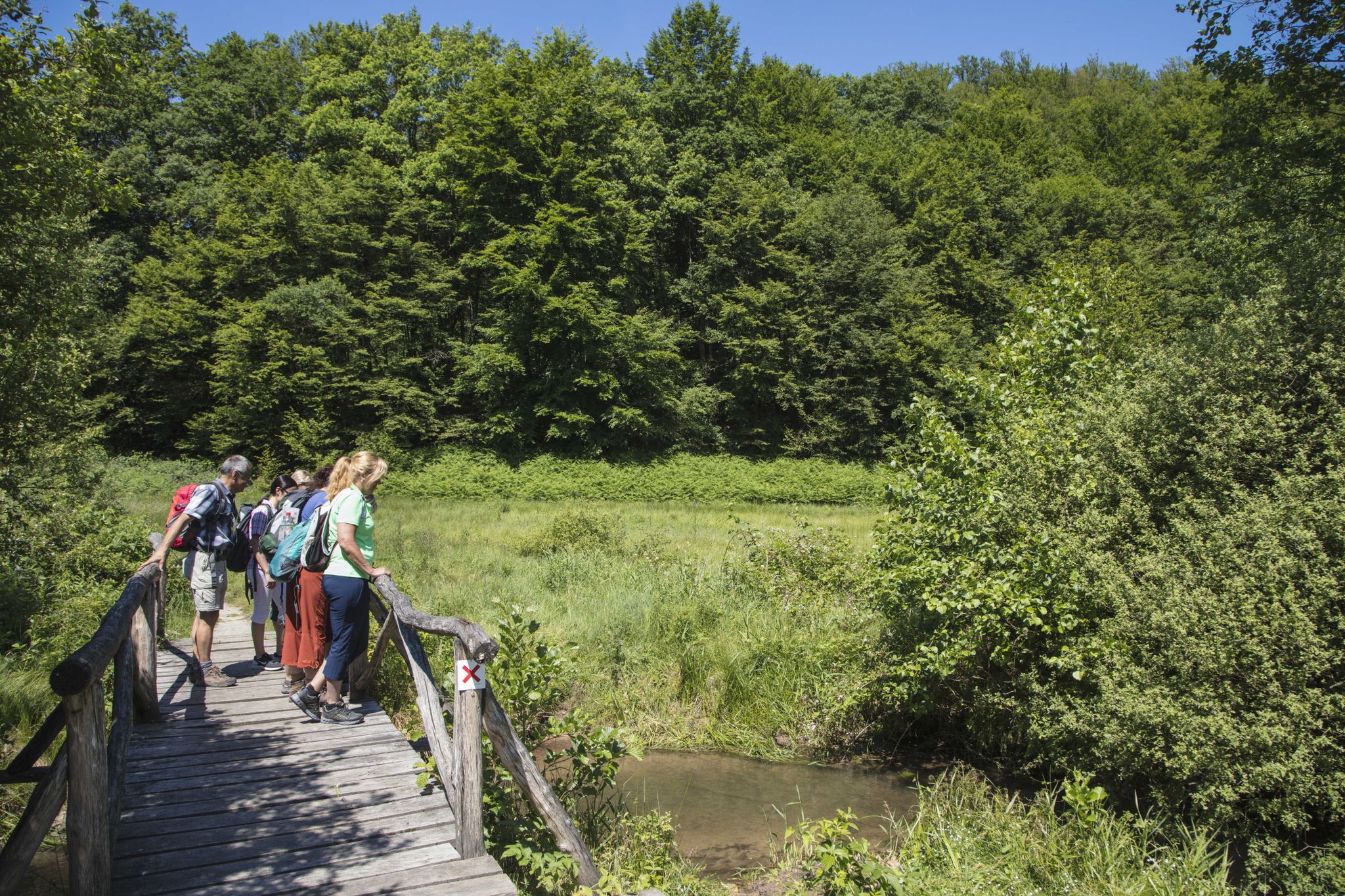
Europäische Kulturwege in Marktheidenfeld
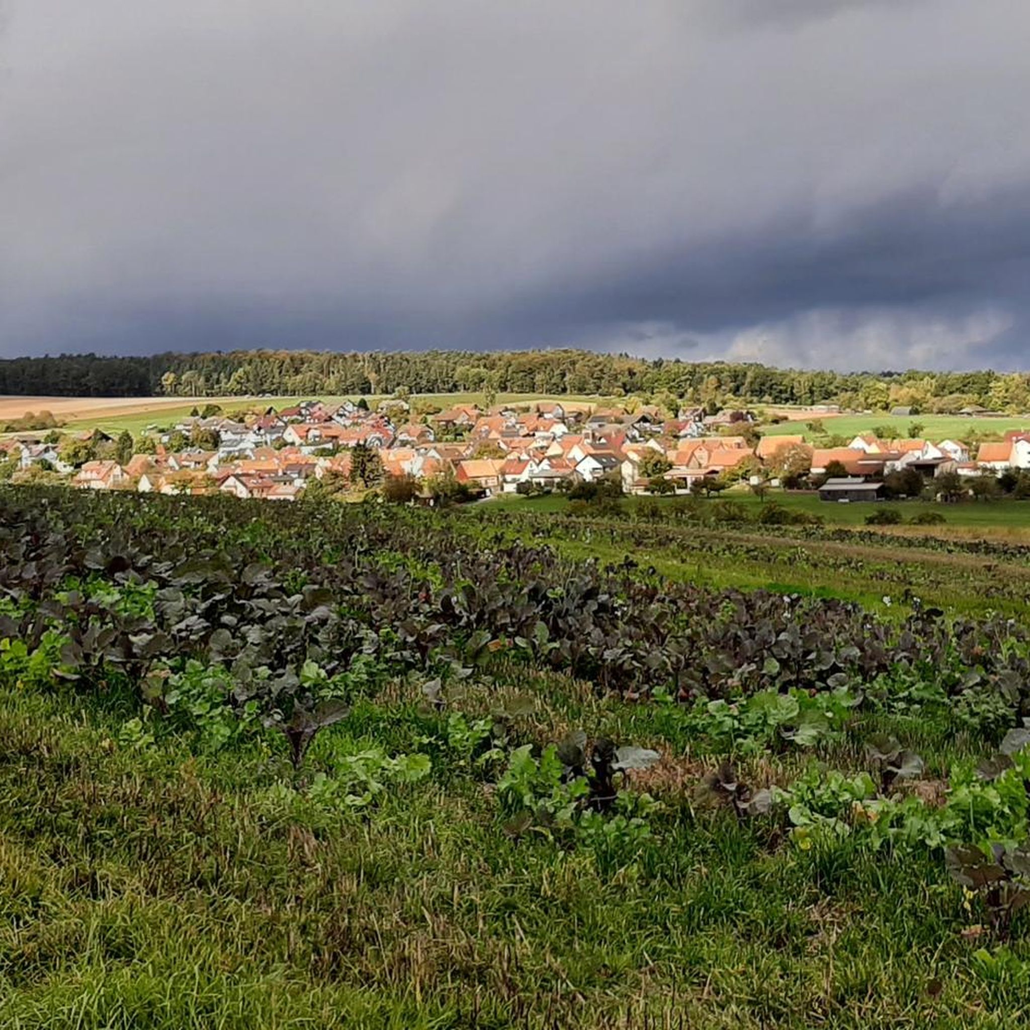
Cycling around Marktheidenfeld
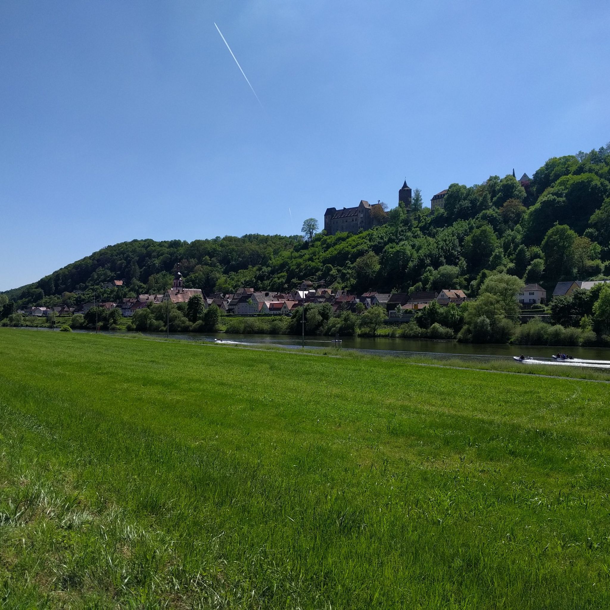
Hiking around Marktheidenfeld
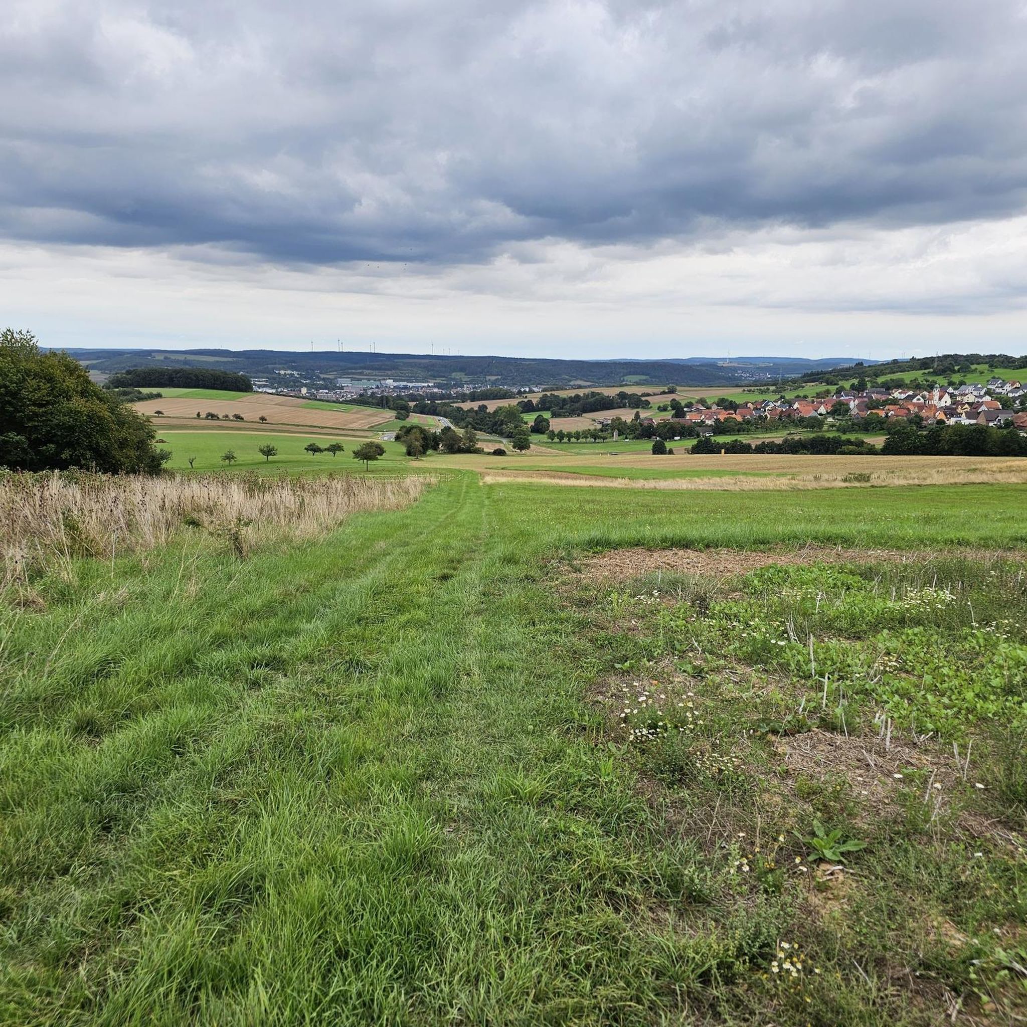
MTB Trails around Marktheidenfeld
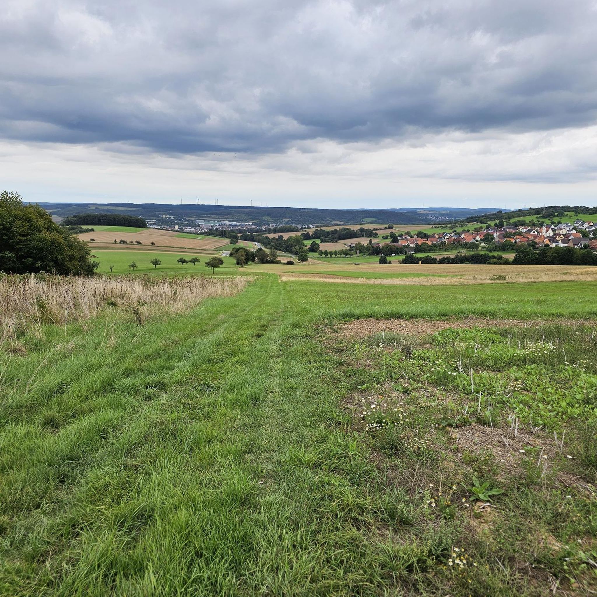
Road Cycling Routes around Marktheidenfeld
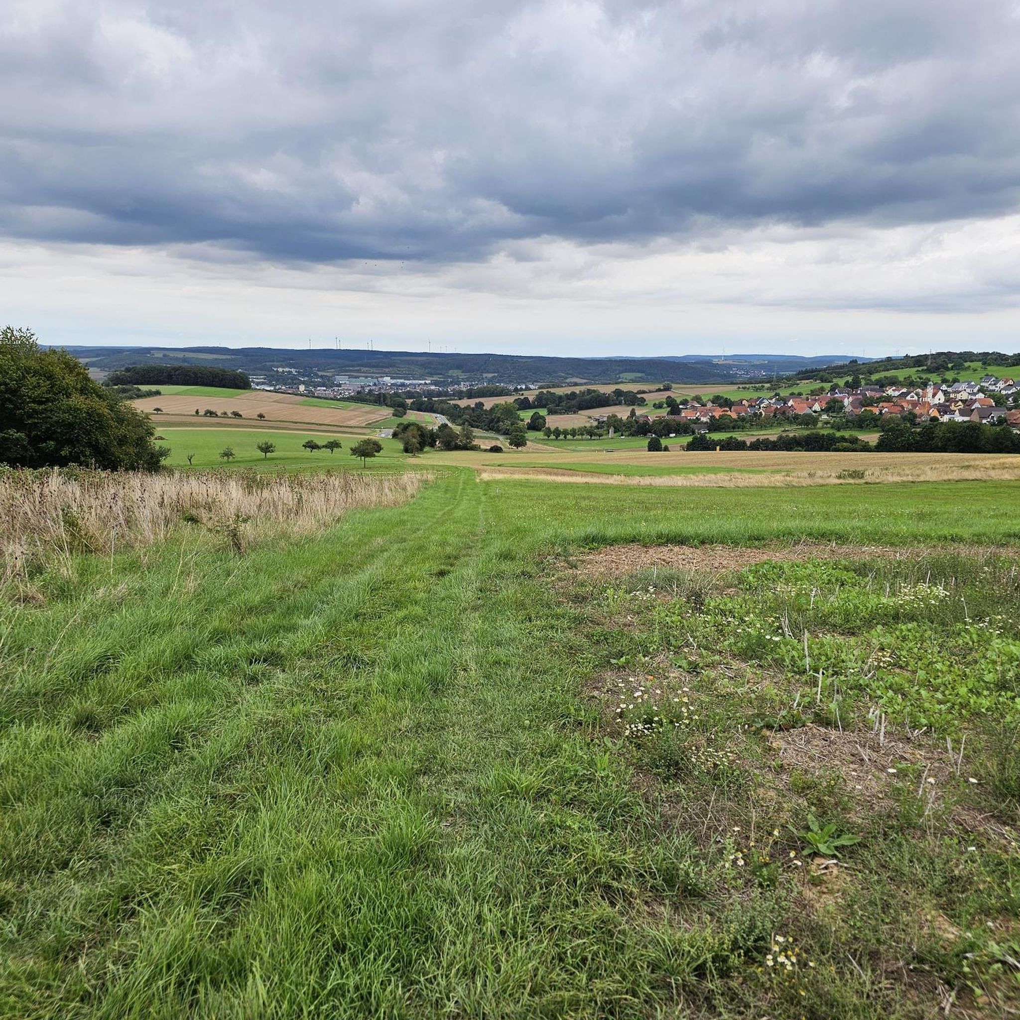
Running Trails around Marktheidenfeld
Other adventures around Marktheidenfeld


Tips from the Community

The Hafenlohr is a 26.5 km (27.7 km with Tiergartenbach) long, right tributary of the Main in the districts of Aschaffenburg and Main-Spessart in the Bavarian Spessart. The Hafenlohr originates from two springs in the municipality of Rothenbuch. The longer and at times more water-rich source is the Tiergartenbach, which often dries up on dry days. Officially, it is considered the upper course of the main water body of the Hafenlohr. The origin named Hafenlohrquelle in the middle of the village provides water almost all year round. The Hafenlohrquelle is located at Schloss Rothenbuch. It was channeled in sandstone during the widening of the road St 2317. Its water flows through the castle moat northwestward and flows into the bed of the Tiergartenbach about a hundred meters later from the left side, which flows from the Tiergartengrund on the northern edge of the village and is already 1.3 km long. It does not supply water all year round, but at times more than the also perennial spring at the castle. The spring at the castle was probably a meeting point for hunting in the eastern Spessart in the past, which is why the construction of a hunting lodge began here in 1342. The castle moat and some surrounding trout lakes, which no longer exist today, were fed with the emerging spring water. Source and further information: https://de.wikipedia.org/wiki/Hafenlohr_(Fluss)
1
0


The Hafenlohrtal is wonderfully quiet. And so beautiful.
0
0

I love these old bridges and I have to take a picture of every beautiful one from above. This one also offers a very nice view of Marktheidenfeld.
1
0

The Eselsweg was a historic trade route and is now a modern long-distance hiking trail through the Spessart in Hesse and Bavaria.
0
0
You then get a very good idea of how devastating some floods must have been....
2
0
The Hafenlohr is a 26.5 km long (27.7 km including the Tiergartenbach) right tributary of the Main River in the districts of Aschaffenburg and Main-Spessart in the Bavarian Spessart region. The Hafenlohr rises from two springs in the municipality of Rothenbuch. The longer and occasionally more water-rich branch is the Tiergartenbach, which often dries up on dry days. Officially, it is considered the upper course of the Hafenlohr main watercourse. The source, known as the Hafenlohr Spring, in the center of the village provides water almost year-round. The Hafenlohr Spring is located at Rothenbuch Castle. It was encased in sandstone during the road widening of the St 2317. Its water flows northwest through the castle moat and, after about 100 meters, flows from the left bank into the bed of the Tiergartenbach, which flows from the Tiergartengrund on the northern edge of the village and is already 1.3 km[7] long. It doesn't provide water year-round, but at times it provides more than the perennial spring at the castle. The spring at the castle was probably once a meeting place for hunters in the eastern Spessart, which is why construction of a hunting lodge began here in 1342. The spring water fed the castle moat and several surrounding trout lakes, which no longer exist. Source and further information: https://de.wikipedia.org/wiki/Hafenlohr_(Fluss)
1
0
The Hafenlohr is a 26.5 km (27.7 km with Tiergartenbach) long right tributary of the Main in the districts of Aschaffenburg and Main-Spessart in the Bavarian Spessart. The Hafenlohr originates from two springs in the municipality of Rothenbuch. The longer and sometimes more water-rich spring is the Tiergartenbach, which often dries up on dry days. Officially, it is considered the upper course of the main watercourse of the Hafenlohr. The spring named Hafenlohrquelle, in the middle of the village, provides water almost all year round. The Hafenlohrquelle is located at Rothenbuch Castle. It was channeled in sandstone during the widening of the St 2317 road. Its water flows through the castle moat northwestward and flows, after about a hundred meters, from the left side into the bed of the Tiergartenbach, which comes from the Tiergartengrund on the northern edge of the village and is already 1.3 km long. It does not supply water all year round, but at times more than the also perennial spring at the castle. The spring at the castle was probably once a meeting point for hunting in the eastern Spessart, which is why the construction of a hunting lodge began here in 1342. The spring water fed the castle moat and several surrounding trout ponds, which no longer exist. Source and further information: https://de.wikipedia.org/wiki/Hafenlohr_(Fluss)
1
0
Frequently Asked Questions
How many gravel bike trails are available around Marktheidenfeld?
There are over 80 gravel bike routes in the Marktheidenfeld region, offering a diverse range of experiences. These include 35 moderate and 47 difficult trails, catering to various skill levels.
Are there challenging gravel bike trails in Marktheidenfeld for experienced riders?
Yes, Marktheidenfeld offers several challenging gravel bike trails. For instance, the Main bridge in Marktheidenfeld – Water buffalo in the Hafenlohr Valley loop from Marktheidenfeld is a difficult 50 km route that traverses the varied terrain of the Hafenlohr Valley. Another demanding option is the Main bridge in Marktheidenfeld – Sylvan Forest Lodge loop from Marktheidenfeld, covering 35.3 km with significant elevation changes.
What kind of scenery can I expect on gravel bike routes in Marktheidenfeld?
Gravel biking around Marktheidenfeld offers diverse scenery, from paths along the Main River valley to trails winding through dense woodlands. You'll also encounter historic castles and the picturesque Hafenlohr Valley, providing a mix of natural riverine environments and extensive forest networks.
Are there any family-friendly gravel bike routes in the Marktheidenfeld area?
While many routes in Marktheidenfeld are rated moderate to difficult, the region's riverside paths and flatter sections can be suitable for families looking for less strenuous rides. It's best to check individual route details on komoot for specific difficulty and terrain information to ensure it matches your family's capabilities.
What do other gravel bikers say about the trails in Marktheidenfeld?
The gravel biking routes in Marktheidenfeld are highly rated by the komoot community, with an average score of 4.7 stars from over 25 reviews. Many riders praise the varied terrain, the scenic views of the Main River landscape, and the historic castle surroundings.
Are there any circular gravel bike routes around Marktheidenfeld?
Yes, many of the gravel bike routes in Marktheidenfeld are designed as loops. For example, the Ficke – Homburg Castle on the Main loop from Esselbach is a popular 46 km circular trail exploring the Main river landscape and historic castle views. Another option is the View of Rothenfels Castle – Rothenfels Castle loop from Marktheidenfeld, a 33.6 km loop through forested areas.
What are some interesting landmarks or attractions near the gravel bike trails?
Beyond the trails, the Marktheidenfeld region offers several points of interest. You can explore various caves, such as the Schächerloch Cave or the Heidenloch Cave and Devil's Rock. For those interested in more technical riding, there are also dedicated bike park trails like the Single Trail LT2 (Variant 1) nearby.
What is the best season for gravel biking in Marktheidenfeld?
The varied landscape of Marktheidenfeld, with its river valleys and woodlands, makes it suitable for gravel biking across multiple seasons. Spring and autumn offer pleasant temperatures and vibrant scenery, while summer provides longer daylight hours. Winter conditions might require checking local trail status due to potential ice or snow in forested areas.
Are there any less crowded gravel trails for a more peaceful ride?
While specific crowd levels vary, exploring routes that venture deeper into the extensive forest networks or less-trafficked sections of the Hafenlohr Valley might offer a more secluded experience. Using komoot's route planner can help you discover less popular paths away from main attractions.
Are there any specific routes that feature historic castles?
Yes, the region is known for its historic castles. The Homburg Castle on the Main – Homburg Castle on the Main loop from Marktheidenfeld is a great option, offering views and proximity to this historic site. Many routes along the Main River valley also provide glimpses of various castles and historic structures.
What kind of terrain can I expect on the gravel bike trails?
The gravel bike trails around Marktheidenfeld feature a mix of terrain. You'll encounter riverside paths, forest tracks, and sections with elevation changes as routes traverse both flatter areas and more challenging climbs through wooded regions. The Hafenlohr Valley, in particular, offers varied surfaces.
Most popular routes around Marktheidenfeld
Most popular attractions around Marktheidenfeld

Get inspired with the komoot mobile app


Explore more
Browse the best Gravel rides in other regions.
