The best gravel rides around Wolfsegg am Hausruck
5.0
(6)
45
riders
6
rides
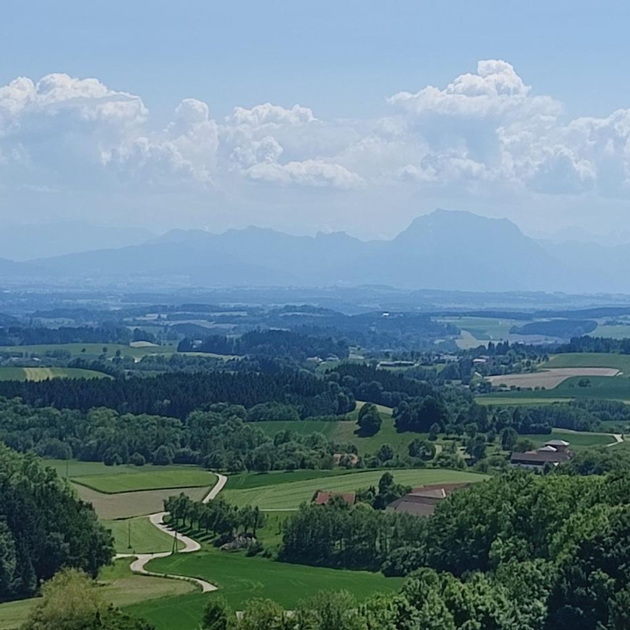
Gravel biking around Wolfsegg am Hausruck offers a diverse landscape for riders, characterized by rolling hills, extensive forests like the Hausruckwald, and a mix of natural ponds and lakes. The region features river valleys, such as along the Ager River, and elevated areas with viewpoints and summits. Riders can expect varied terrain, including paths near lakes like Traunsee and routes through wooded sections. The area provides options for different skill levels, from moderate to more challenging gravel bike trails.
Best gravel bike trails around Wolfsegg am Hausruck
- The most popular gravel bike trail is Ager Weir Redlham Au – Römerweg along the Ager River loop from Vöcklabruck, a 56.8 miles (91.5 km) trail that takes 4 hours 58 minutes to complete. This route follows the Ager River, offering extensive riverside riding.
- Another top favourite among local gravel bikers is Lederkopf Viewpoint – Lederer Kopf Summit loop from Gaspolfshofen, a difficult 21.7 miles (34.9 km) path. This route leads through elevated terrain to a summit.
- Local gravel bikers also love the Riesn Stairway loop from Wolfshütte, a 36.0 miles (58.0 km) trail leading through varied terrain with significant elevation gain, often completed in about 3 hours 54 minutes.
- Gravel biking around Wolfsegg am Hausruck is defined by river valleys, lake shores, and elevated viewpoints. The network offers options for easy, moderate, and difficult ability levels.
- The routes in Wolfsegg am Hausruck are highly rated by the komoot community with an average score of 4.7 stars from over 6 reviews. More than 60 gravel bikers have used komoot to explore Wolfsegg am Hausruck's varied terrain.
Last updated: October 5, 2026
7
riders
34.9km
02:40
580m
580m
Hard gravel ride. Very good fitness required. You may need to push your bike for some segments of this route.
5.0
(1)
3
riders
58.0km
03:55
730m
730m
Hard gravel ride. Very good fitness required. Mostly paved surfaces. Suitable for all skill levels.

5.0
(1)
4
riders
25.4km
01:51
470m
470m
Hard gravel ride. Very good fitness required. Mostly paved surfaces. Suitable for all skill levels.
5.0
(1)
4
riders
27.2km
01:55
570m
570m
Hard gravel ride. Very good fitness required. You may need to push your bike for some segments of this route.
9
riders
32.4km
02:18
650m
650m
Hard gravel ride. Very good fitness required. Mostly paved surfaces. Suitable for all skill levels.
Our route recommendations are based on thousands of hikes, rides, and runs completed by other people on komoot.
Start today with a free account
Your next adventure awaits.
Tips from the Community

Very nice spot at an MTB trail junction with a rest area and information boards. Unfortunately, the MTB route from Aurach via Gstötten & Halbmoos up here is not marked on Komoot 🧐 - it is then visible on the map up here (green dots)
0
0

Nice even gentle climb coming from Lambach
1
0
A wonderful hidden spot in the beautiful recreational area in front of Regau 🥰
0
0

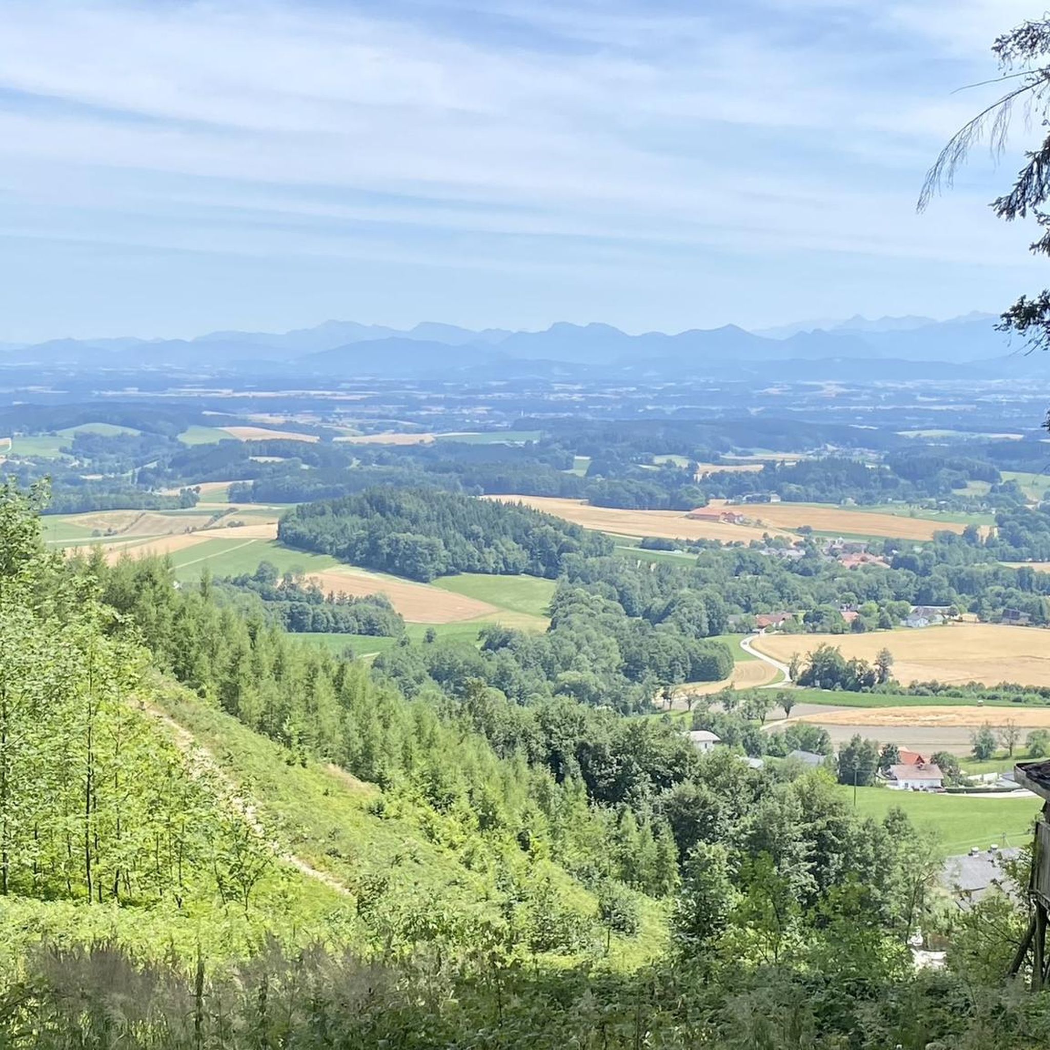
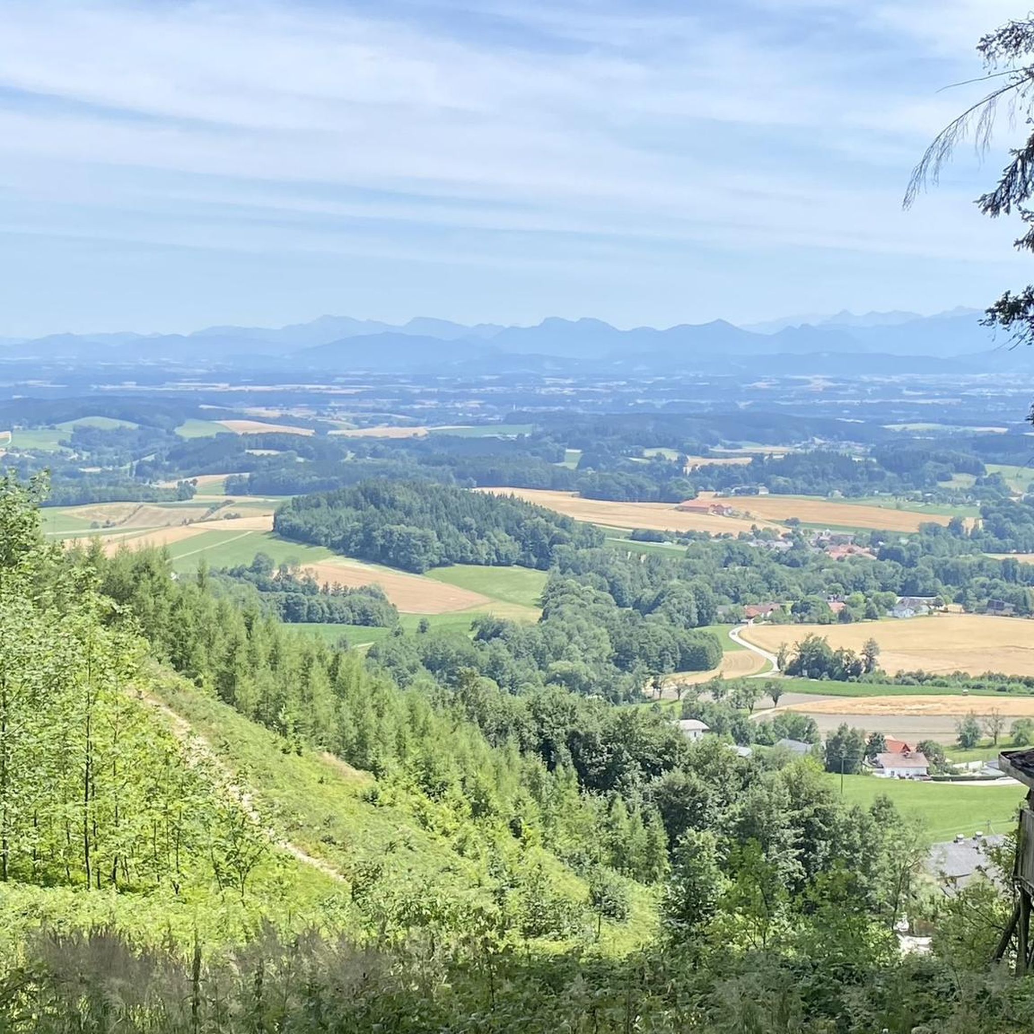
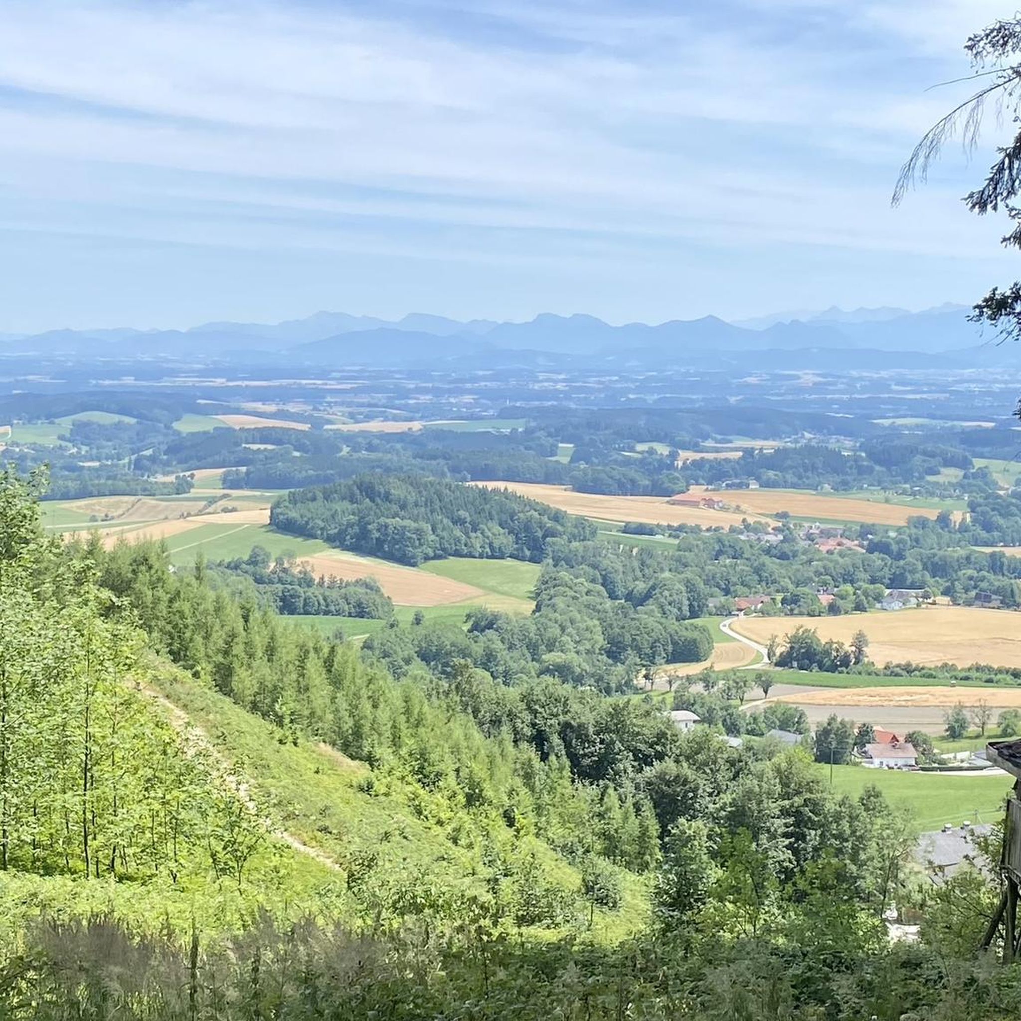
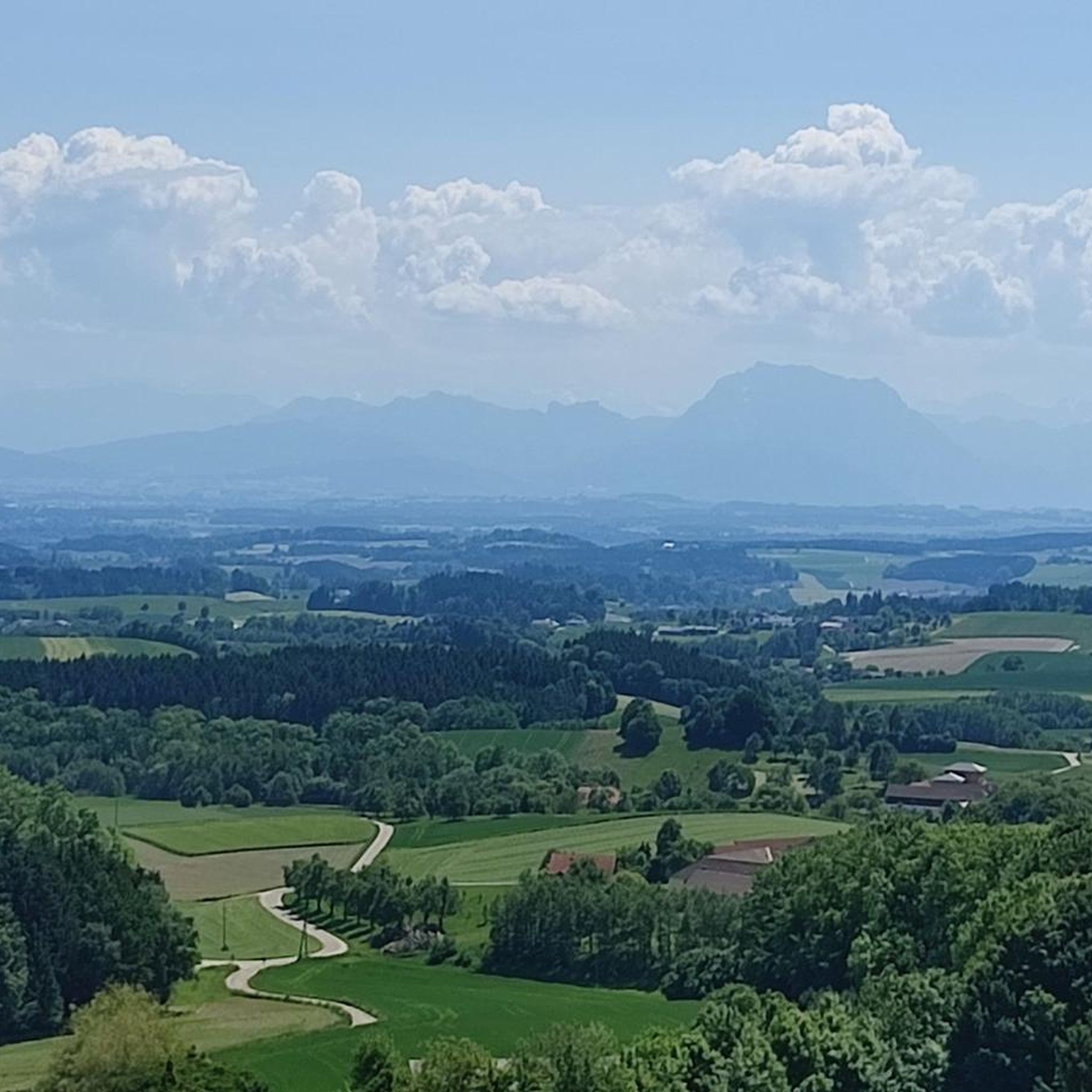
Göblberg lookout tower – One of the most beautiful viewpoints in the Hausruckviertel Anyone who simply drives past here misses out on one of the region's most beautiful panoramas. After climbing the wooden tower, a breathtaking 360° panoramic view opens up in clear weather – from the Höllengebirge, Traunstein, Dachstein and the peaks of the Salzkammergut, far into the Alpine foothills. The tower is located at an altitude of 790 m and is easily accessible by both bicycle and on foot. Quiet forest paths and forest roads around the Göblberg invite you to a relaxing tour. A unique atmosphere prevails here, especially at sunrise or sunset. 💡 My tip: Take a few minutes and definitely climb up – the view is worth every single step! With föhn wind or clear autumn air, the view often extends for many kilometers to the Alps.
0
0

Unfortunately, not anymore. The cash register will be plundered or not paid at all. Unfortunately, a shame about this offer.
0
2

The Haager Lies Cycle Path is an impressive cycling and walking path in Austria that runs along a former railway line. Here are some interesting facts about this cycle path: 1. Route Length: - The cycle path stretches over 22 km and offers a scenic route through the region. 2. Start and End Points: - The route begins in Neukirchen bei Lambach and continues to Haag am Hausruck. 3. Difficulty: - The cycle path is considered difficult because it may contain sections with loose ground that are difficult to navigate. A good level of fitness is required. 4. Elevation Gains: - The tour includes up to 450 meters of elevation gain, making it a challenging but rewarding experience. 5. Nature Experience: - The cycle path leads through a beautiful landscape characterized by forests, meadows, and picturesque views. 6. **Duration**: - The average cycling time is approximately **1 hour and 35 minutes**, depending on individual fitness and breaks. The Hague Lies Cycle Route is therefore an ideal destination for cyclists and nature lovers who want to enjoy the beauty of nature.
0
0
The "Klangstamm" (sound trunk) is a wooden sound box that you can walk inside. It was designed by the artists Josef Bücheler and Markus Leuthe. On the outside are various elements that can be used as musical instruments, including a series of sound bars and violin cases with trumpets.
1
0

The view is currently obscured by trees. Nevertheless, there are beautiful spots along the way to enjoy the panoramic view.
1
0
Frequently Asked Questions
How many gravel bike trails are available around Wolfsegg am Hausruck?
There are over 15 gravel bike trails around Wolfsegg am Hausruck, offering a variety of experiences for different skill levels.
What are the difficulty levels of gravel bike trails in Wolfsegg am Hausruck?
The trails range from easy to difficult. You'll find 2 easy routes, 5 moderate routes, and 8 difficult routes, ensuring options for every rider.
What is the best season for gravel biking in Wolfsegg am Hausruck?
While gravel biking is enjoyable year-round, the spring and autumn months typically offer the most pleasant weather conditions with mild temperatures and vibrant scenery. Summer can be great, but be prepared for warmer days, especially on longer routes.
Are there any circular gravel bike routes in Wolfsegg am Hausruck?
Yes, many of the gravel bike routes in the area are designed as loops. For example, the difficult Lederkopf Viewpoint – Lederer Kopf Summit loop from Gaspoltshofen offers a scenic circular ride to a summit.
What natural sights can I explore along the gravel bike routes?
The region boasts beautiful natural monuments. You can visit the Lederer Kopf Summit, the Krailberg Summit Cross (504 m), or discover the serene Forest Spring and Picnic Area. Many routes also follow river valleys like the Ager River or pass by Lake Traunsee.
Are there any historical landmarks or castles to see while gravel biking?
Absolutely. The area is rich in history with several castles nearby. You might encounter Wolfsegg Castle, Aistersheim Water Castle, or Würting Castle, among others, offering interesting stops along your ride.
Are there good viewpoints along the gravel bike trails?
Yes, many routes lead to elevated areas with rewarding views. The Luisenhöhe Observation Deck is a notable viewpoint. The Traunsee near Ebensee – Parish Church of Traunkirchen on Lake Traunsee loop from Attnang-Puchheim also offers extensive scenic views around the lake.
Are there family-friendly gravel bike routes in Wolfsegg am Hausruck?
While many routes are moderate to difficult, there are easy options suitable for families. It's always recommended to check the specific route details on komoot for distance and elevation to ensure it matches your family's capabilities.
Can I bring my dog on the gravel bike trails?
Generally, dogs are welcome on most public trails in the region, especially if kept on a leash. However, always be mindful of local regulations, wildlife, and other trail users. Some protected areas or private lands might have specific restrictions.
Where can I find parking for gravel biking trailheads in Wolfsegg am Hausruck?
Parking is typically available near the starting points of many routes, especially in towns like Vöcklabruck, Attnang-Puchheim, or Gaspoltshofen. Look for designated parking areas or public car parks in these locations.
What kind of terrain can I expect on the gravel bike trails?
You can expect a diverse mix of terrain, including paths along river valleys like the Ager River, sections near lakes such as Traunsee, and routes through wooded areas. The landscape also features elevated sections leading to viewpoints and summits, providing varied riding surfaces.
What do other gravel bikers say about the trails in Wolfsegg am Hausruck?
The area is highly rated by the komoot community, with an average score of 4.7 stars from more than 9 reviews. Riders often praise the varied terrain, from riverside paths to challenging climbs, and the scenic beauty of the region.
How long are the gravel bike trails around Wolfsegg am Hausruck?
The trails vary significantly in length. You can find shorter routes like the Riesn Stairway loop from Wolfshütte at around 36 miles (58 km), to much longer ones such as the Lambach Abbey Church – Traun River at Stadl-Paura loop from Gaspoltshofen which is about 35 miles (56 km).
Most popular routes around Wolfsegg am Hausruck
Most popular attractions around Wolfsegg am Hausruck

Get inspired with the komoot mobile app


Explore more
Browse the best Gravel rides in other regions.
