The best gravel rides around Mölbling
4.6
(11)
158
riders
11
rides
Gravel biking around Mölbling, a municipality in Carinthia, Austria, offers diverse terrain for outdoor activities. The region features rolling hills, green meadows, and dense forests, providing a varied backdrop for gravel routes. Its proximity to the Gurktal Alps and the Carinthian Nockberge expands the range of available trails, with the Gurk River potentially offering scenic paths along its banks. The area combines quiet roads, tracks, and unpaved sections, creating an engaging environment for gravel cyclists.
Best gravel bike trails around…
Last updated: July 16, 2026
4.9
(8)
100
riders
42.2km
02:41
70m
70m
Moderate gravel ride. Good fitness required. Mostly paved surfaces. Suitable for all skill levels.
4.3
(3)
24
riders
67.2km
04:58
580m
580m
Hard gravel ride. Very good fitness required. You may need to push your bike for some segments of this route.

Sign up for free
61.8km
05:41
1,560m
1,560m
Hard gravel ride. Very good fitness required. Mostly paved surfaces. Suitable for all skill levels.
56.1km
05:16
1,480m
1,480m
Hard gravel ride. Very good fitness required. Mostly paved surfaces. Suitable for all skill levels.
3
riders
37.6km
03:17
830m
830m
Hard gravel ride. Very good fitness required. You may need to push your bike for some segments of this route.
Get access to more routes and recommendations from other explorers.
Sign up for free
Already have an account?
Our route recommendations are based on thousands of hikes, rides, and runs completed by other people on komoot.
Start today with a free account
Your next adventure awaits.
Login or Signup
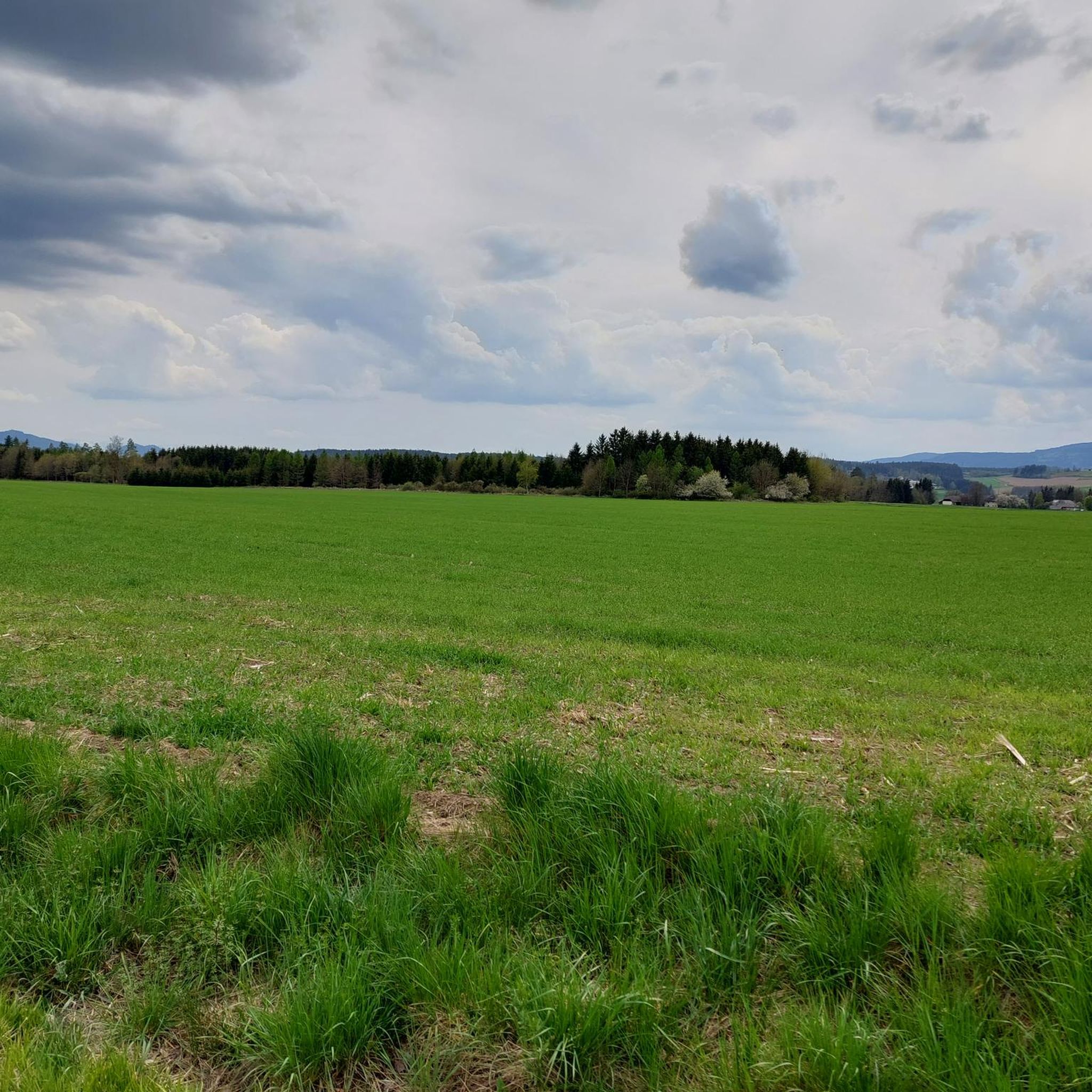
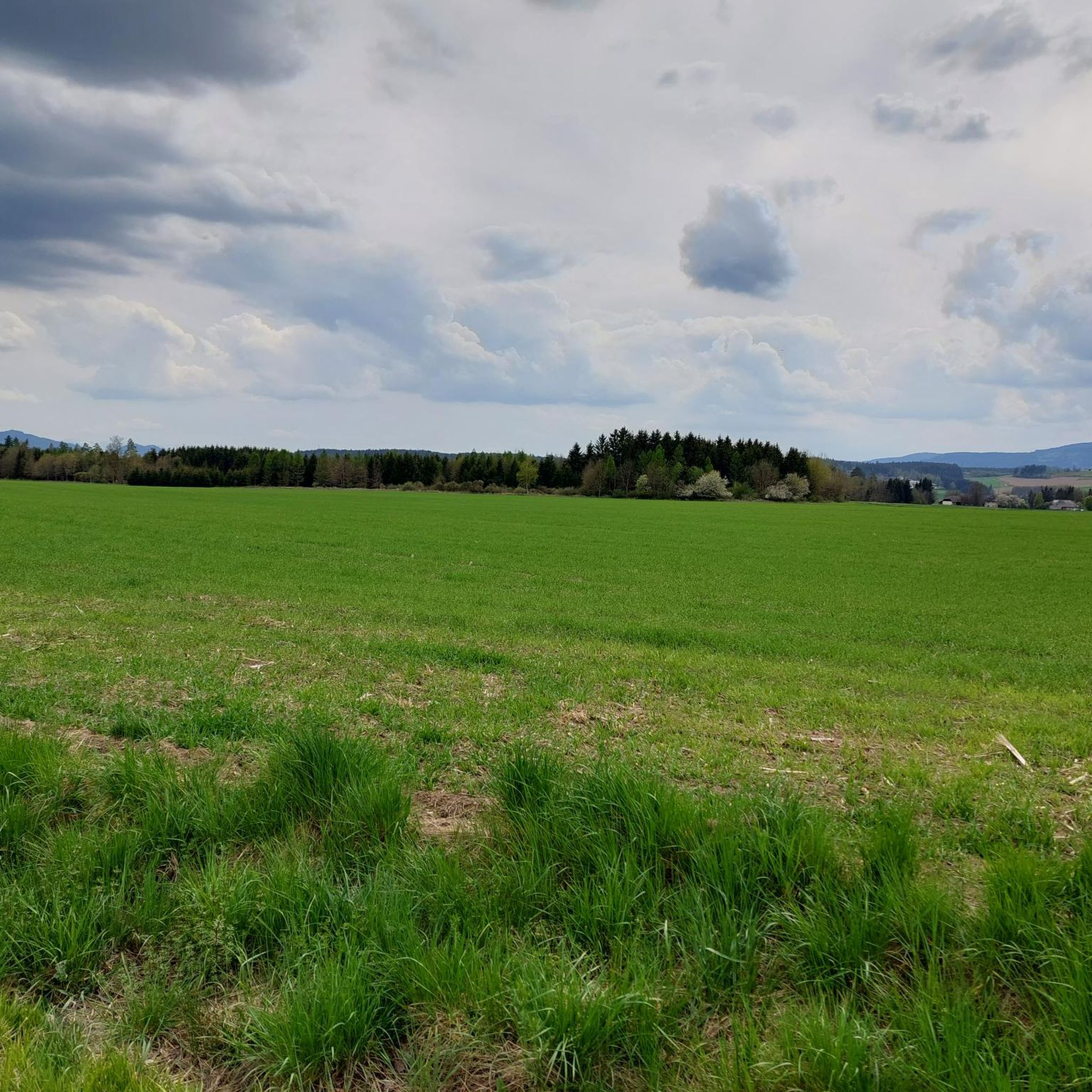
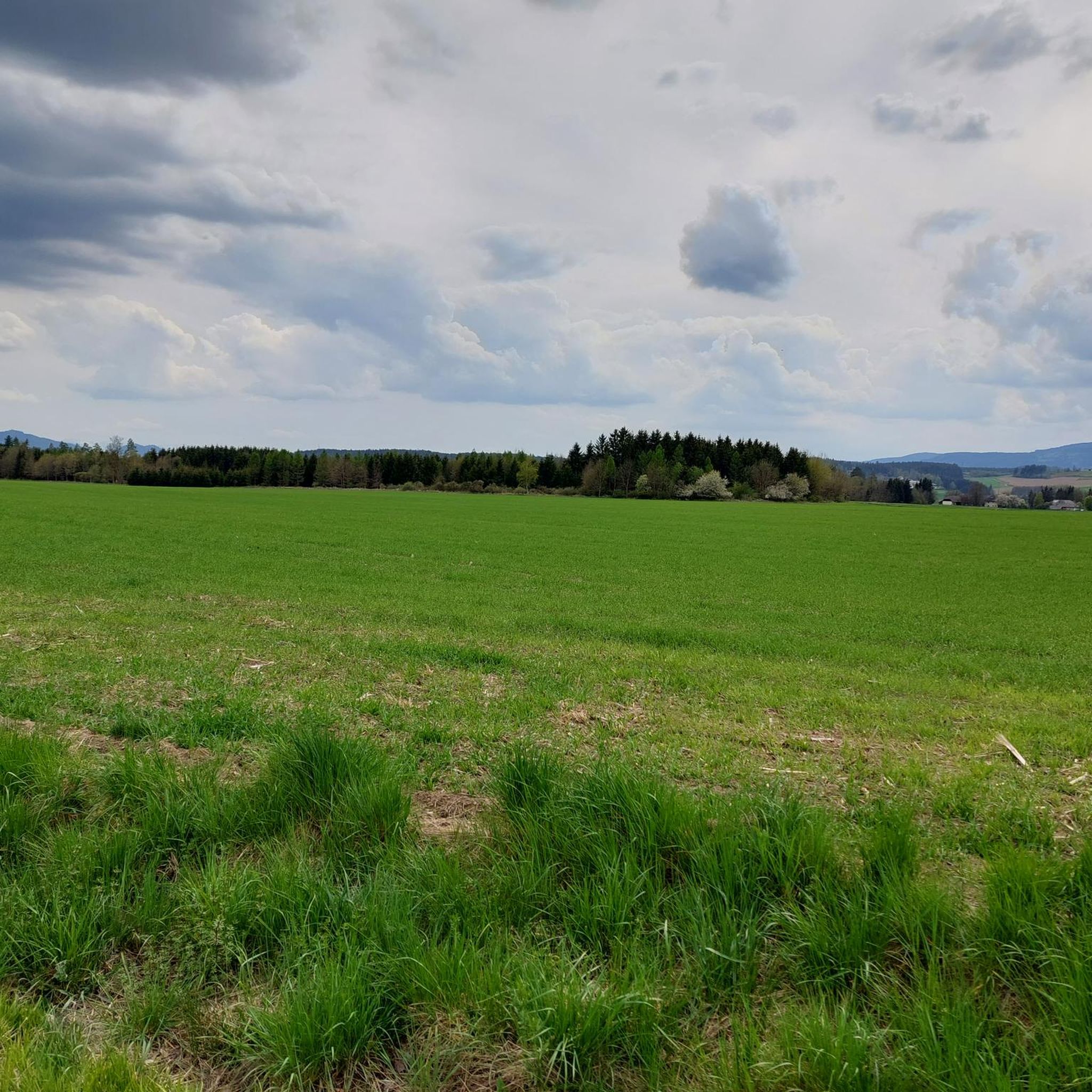
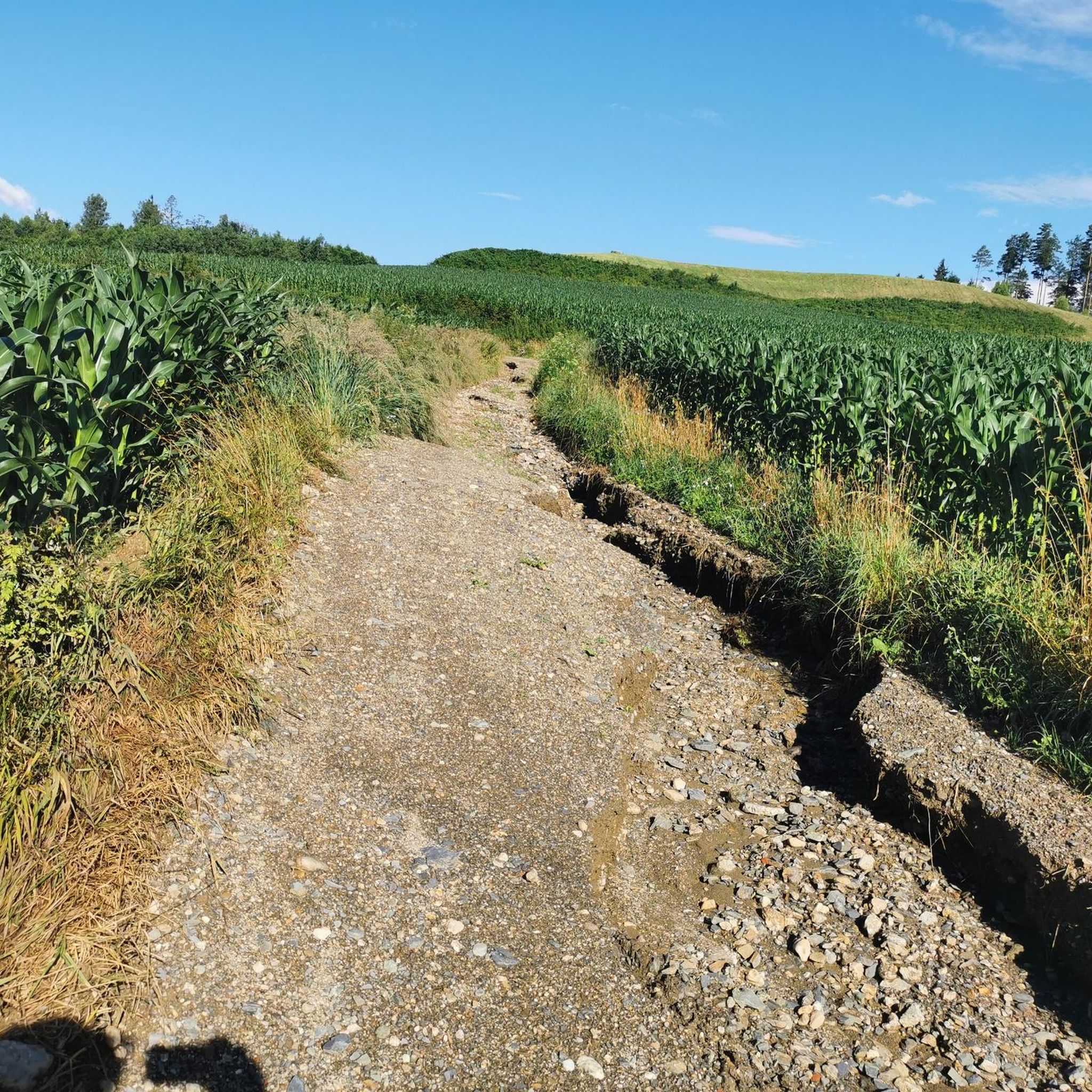
Tips from the Community

Nestled in the 532-hectare nature reserve "Kraiger Schlösser", lies this gem: the Kraigersee. Its idyllic location will make the hearts of all nature lovers beat faster! The shore is largely undeveloped.
1
0
R5 - Glan-Gurk Cycle Path From the R2 Ossiacher See Cycle Path in Feldkirchen south of the intersection of the B 94 Ossiacher Straße with the B 95 Turracher Straße via Glanegg, St. Veit, Brückl, Klein St. Veit, St. Ruprecht and east of Völkermarkt into the R1 Drau Cycle Path.
1
0
The Glan section between Altenglan and Bedesbach is only slightly straightened. The water quality here is comparatively good, allowing for a species-rich fish population. At the same time, the largely naturally overgrown banks of the mostly sluggishly flowing river offer shelter to many animals. For example, on both sides of the riverbanks, there are steep walls where the kingfisher can build its nesting burrows. The river floodplain itself, with extensive wet meadows interspersed with patchy shrub and tree growth as well as solitary pollarded willows, is a habitat for other rare bird, insect, and amphibian species.
1
0


comfortable cycle path towards St.Veit
2
0

Super beautiful little lake owned by the guesthouse nearby. Great for swimming, or just drinking a beer there in the evening. Sales are right by the lake, with benches. 🙃👍
3
0

Cycle path mainly on gravel and in the shade along the Wimitz.
1
0

A good Jausenplatzal is part of every tour
2
0
Frequently Asked Questions
How many gravel bike trails are available around Mölbling?
There are 18 gravel bike routes in the Mölbling area, offering a diverse range of experiences. These include 1 easy, 5 moderate, and 12 difficult trails, catering to various skill levels.
What kind of terrain can I expect on gravel bike trails in Mölbling?
Gravel biking in Mölbling features a varied landscape of rolling hills, green meadows, and dense forests. You'll encounter a mix of quiet roads, tracks, cycleways, and unpaved sections, providing diverse surfaces and gradients for an engaging ride. The region's proximity to the Gurktal Alps and Carinthian Nockberge also contributes to the varied terrain.
Are there any family-friendly gravel biking options in Mölbling?
While many routes are moderate to difficult, there is at least one easy gravel bike trail available, which could be suitable for families or beginners. The region's idyllic natural scenery and the mention of Längsee as a family-friendly attraction suggest that easier, more leisurely rides might be found, especially along the Gurk River.
What are some notable landmarks or natural features to see along the gravel routes?
The Mölbling area offers several interesting sights. You can explore historical sites like Friesach Castle Construction or visit impressive structures such as Hochkraig Castle and Taggenbrunn Castle. For scenic views, consider highlights like Gauerstall Viewpoint or the Rigi Cross. The Gurk River also offers picturesque sections.
What do other gravel bikers say about the trails in Mölbling?
The gravel biking routes in Mölbling are highly rated by the komoot community, with an average score of 4.6 stars from more than 8 reviews. Over 140 gravel bikers have used komoot to explore the area, often praising the varied terrain and scenic beauty.
Are there any challenging gravel routes for experienced riders?
Yes, Mölbling offers several challenging routes for experienced gravel bikers. For instance, the Innere Wimitz: Feldkirchen loop from St. Veit an der Glan is a difficult 41.8-mile (67.2 km) path featuring demanding terrain. Another difficult option is the Steinbichl and Gurktal gravel route, covering 38.4 miles (61.8 km) through the Gurktal region.
What is a good moderate gravel route to try in the area?
A popular moderate route is St. Veit an der Glan, Maria Saal and Klagenfurt. This 26.2-mile (42.2 km) trail connects several towns and offers varied landscapes, typically taking around 2 hours and 41 minutes to complete.
What is the best time of year for gravel biking in Mölbling?
Mölbling's diverse landscape, with rolling hills and forests, is generally enjoyable throughout the warmer months. Spring and autumn offer pleasant temperatures and beautiful scenery, while summer provides longer daylight hours. Winter conditions might include snow or ice, making some gravel sections less accessible, so it's best to check local weather forecasts.
Are there any gravel routes that explore the Gurktal region?
Yes, the Steinbichl and Gurktal gravel route is a great option for exploring the Gurktal region. This difficult 38.4-mile (61.8 km) trail leads through the scenic Gurktal, offering a challenging and rewarding experience.
Can I find routes that include the Steinbichl area?
Absolutely. The Steinbichl tour is a difficult 56.1-kilometer route specifically designed for exploring the Steinbichl area. Additionally, the Steinbichl and Gurktal gravel route also incorporates this area.
Are there any gravel tours near Friesach or Guttaring?
Yes, the Friesach-Guttaring gravel tour is a challenging 52.8-kilometer route that explores the areas around Friesach and Guttaring, offering a scenic and demanding ride.
Most popular attractions around Mölbling

Get inspired with the komoot mobile app


Explore more
Browse the best Gravel rides in other regions.
