The best gravel rides around Raach am Hochgebirge
5.0
(8)
71
riders
5
rides
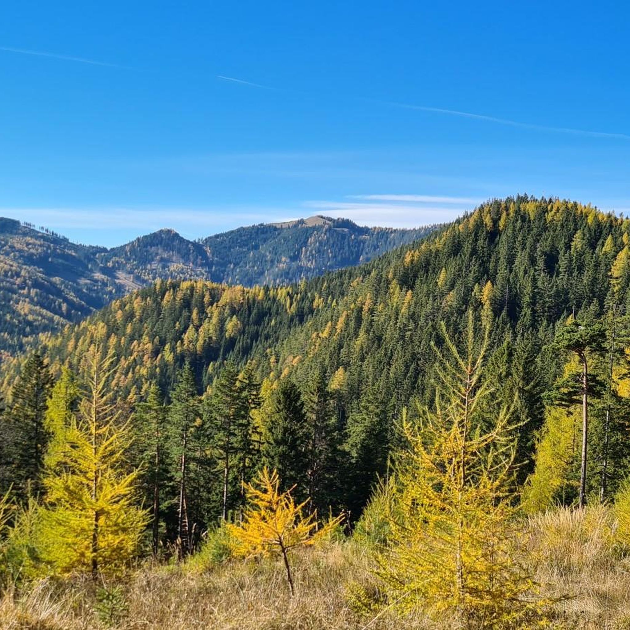
Gravel biking around Raach am Hochgebirge offers diverse landscapes in southeastern Lower Austria, characterized by gentle hills, expansive forests, and sweeping vistas. The region is situated between the Semmering-Rax area and the Wechselland, providing varied terrain for gravel cyclists. Nearly three-quarters of the municipal area is covered by woodlands, offering scenic routes with a mix of paved and unpaved surfaces. This environment is suitable for gravel biking, featuring both moderate and challenging climbs.
Best gravel bike trails around Raach am…
Last updated: October 5, 2026
5.0
(2)
20
riders
54.1km
04:27
1,560m
1,560m
Hard gravel ride. Very good fitness required. Mostly paved surfaces. Suitable for all skill levels.
5.0
(3)
24
riders
22.8km
02:03
700m
700m
Hard gravel ride. Very good fitness required. Mostly paved surfaces. Suitable for all skill levels.

5.0
(2)
15
riders
Hard gravel ride. Very good fitness required. Mostly paved surfaces. Suitable for all skill levels.
5.0
(1)
5
riders
56.9km
04:04
1,280m
1,280m
Hard gravel ride. Very good fitness required. Mostly paved surfaces. Suitable for all skill levels.
5
riders
48.4km
04:19
1,590m
1,590m
Hard gravel ride. Very good fitness required. Mostly paved surfaces. Suitable for all skill levels.
Our route recommendations are based on thousands of hikes, rides, and runs completed by other people on komoot.
Start today with a free account
Your next adventure awaits.
Tips from the Community

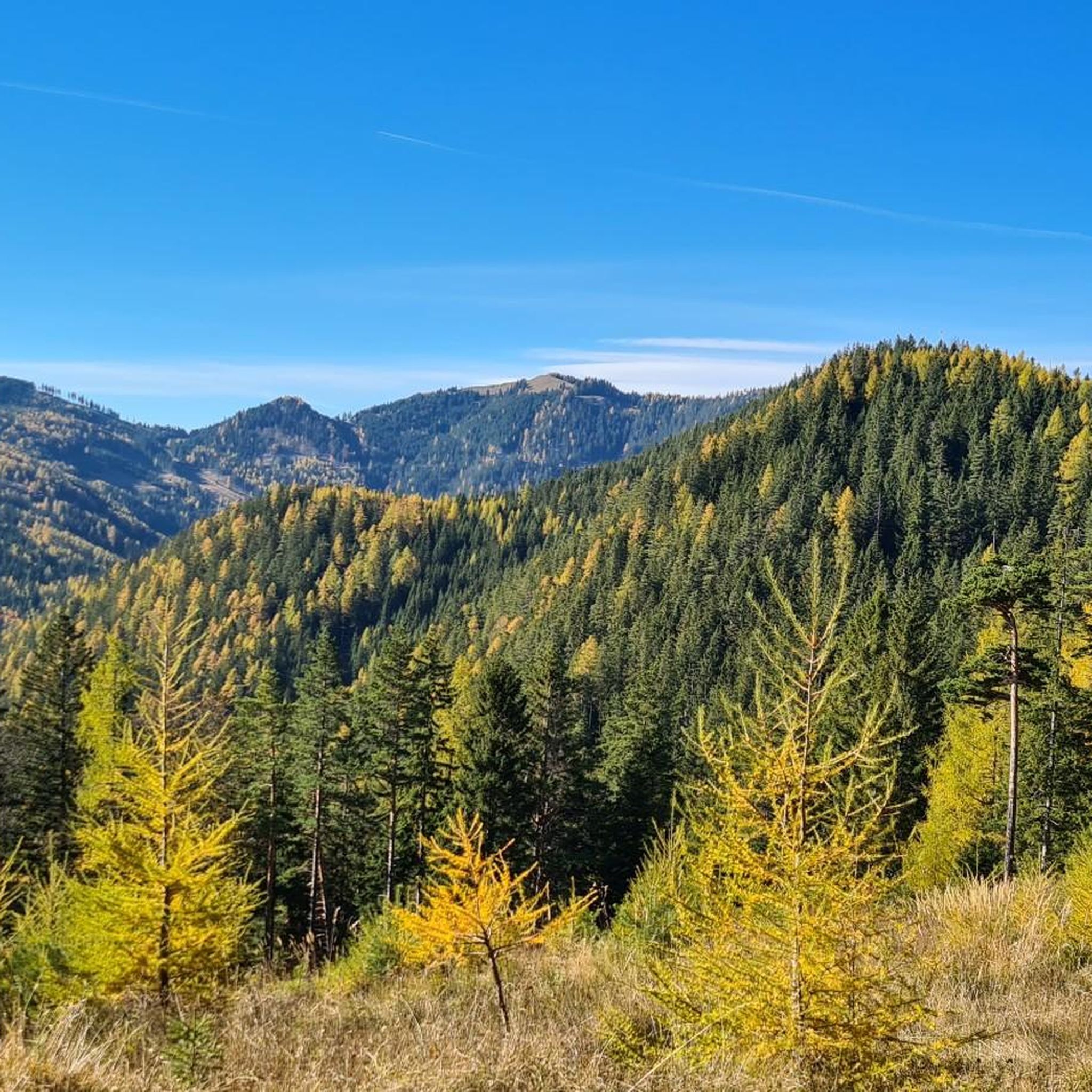
Super view into Styria, Lower Austria...
0
0

I always find it impressive to drive so close to the huge wind turbines. If the yellow warning light is on (especially in case of wind or ice fall), you have to take a detour.
0
0

Nice little alpine hut with good snacks
0
0

The dishes offered and the selection are very good. The staff is particularly friendly and attentive to the guests. The price level is appropriate.
2
0
From the Payerbach-Reichenau station, the first major structure of the Semmering Railway can already be made out. With a length of 227.6 meters and a height of 24.7 meters, the viaduct forms the longest structure of its kind on the Semmering line.
0
0
Wonderful with many little things, it's worth looking closely
3
0
There are several hiking trails leading up from Spittal am Semmering, and from the opposite side, Rettenegg, there is a planetary hiking trail leading up. I believe the least strenuous is the path from Pfaffensattel.
2
0
Reichenau Castle in Reichenau an der Rax was first mentioned in a document in 1256. Today it is used for exhibitions, concerts, and seminars.
1
0
Frequently Asked Questions
What is the general terrain like for gravel biking in Raach am Hochgebirge?
The region of Raach am Hochgebirge offers a diverse landscape ideal for gravel biking, characterized by gentle hills, expansive forests, and sweeping vistas. You'll encounter a mix of paved and unpaved surfaces, providing varied terrain. Nearly three-quarters of the municipal area is covered by woodlands, ensuring scenic rides with both moderate and challenging climbs.
How many gravel bike trails are available, and what are their typical difficulty levels?
There are 10 gravel bike trails available in Raach am Hochgebirge. The majority of these routes, specifically 9 out of 10, are classified as difficult, offering significant elevation gains and challenging rides. There is also 1 moderate route for those seeking a slightly less strenuous experience.
Are there any circular gravel bike routes in the area?
Yes, several gravel bike routes in Raach am Hochgebirge are designed as loops, allowing you to start and end in the same location. For example, the Kalte Rinne Viaduct – Kalte Rinne Viaduct loop from Semmering is a challenging 22.5 km circular path. Another option is the Speckbacher Hut on Kreuzberg – St James' Church, Payerbach loop from Schlöglmühl, which covers 31.3 km.
What kind of natural features or viewpoints can I expect to see along the gravel trails?
Gravel biking in Raach am Hochgebirge offers stunning natural vistas. You can expect to see expansive forests and views of surrounding mountains like Otter and Schneeberg. Notable viewpoints in the broader region include the Hirschenkogel Millennium Observation Tower, offering 360-degree panoramas, and the Luckerte Wand Rock Formation, which provides magnificent views of the Schneeberg mountain.
Are there any interesting landmarks or attractions near the gravel biking routes?
Yes, there are several interesting landmarks and attractions. Along some routes, you might pass by historical sites such as the Ruins of Klamm Castle or Reichenau an der Rax Castle. The region is also known for its mountain huts, like the Pottschacher Hut and Waldburganger Hut, which offer cozy rest stops.
What do other gravel bikers enjoy most about the trails in Raach am Hochgebirge?
The gravel biking routes in Raach am Hochgebirge are highly rated by the komoot community, with an average score of 5.0 stars from 4 reviews. Over 50 gravel bikers have used komoot to explore the varied terrain, often praising the diverse landscapes, challenging climbs, and the mix of paved and unpaved surfaces that make for an engaging ride.
Are there places to eat or stay near the gravel biking routes?
Yes, the region offers amenities for cyclists. Traditional inns like Gasthof Diewald provide local cuisine, home-brewed beer, and comfortable accommodation. Additionally, mountain huts such as the Speckbacher Hut on Kreuzberg serve regional specialties and offer welcoming rest stops along some routes.
What is the best time of year for gravel biking in Raach am Hochgebirge?
Raach am Hochgebirge is generally suitable for gravel biking during the warmer months, from spring through autumn, when the weather is most favorable. The diverse landscapes and forest trails are particularly beautiful during these seasons. Winter conditions might make some routes challenging due to snow or ice, especially on higher elevations.
Is there public transport available to reach Raach am Hochgebirge with a bike?
While specific details on bike transport via public transit to Raach am Hochgebirge are not readily available, the region is situated between the Semmering-Rax area and the Wechselland, which are generally accessible. For detailed information on public transport options that accommodate bikes, it's advisable to check local train and bus schedules for the Lower Austria region.
Are there any family-friendly gravel biking options in Raach am Hochgebirge?
While many routes in Raach am Hochgebirge are classified as difficult due to significant elevation, the broader region offers varied cycling levels. The Feistritztal E-Bike Route, for instance, which leads from Raach towards Wechselland, is known for its beautiful views and manageable climbs, making it potentially suitable for families or those seeking a less strenuous ride. Always check the route details for specific difficulty and terrain before heading out with family.
Where can I find parking near the gravel bike trails in Raach am Hochgebirge?
Parking availability varies by trailhead. Many routes start from villages or accessible points where public parking might be available. For specific routes like the Südbahnhotel Semmering – Speckbacher Hut on Kreuzberg loop from Schlöglmühl, starting points like Schlöglmühl would typically have designated parking areas. It's recommended to check the starting point details of your chosen route on komoot for precise parking information.
Are there any longer, more challenging gravel bike routes for experienced riders?
Absolutely. For experienced gravel bikers seeking a significant challenge, the Kalte Rinne Viaduct – Südbahnhotel Semmering loop from Eichberg is a difficult 55.7 km trail with over 1600 meters of elevation gain, taking approximately 5 hours and 33 minutes to complete. Another demanding option is the Kalte Rinne Viaduct – Preiner Gscheid Pass (1070 m) loop from Orthof, spanning 51.5 km with over 1100 meters of ascent.
Most popular routes around Raach am Hochgebirge
Most popular attractions around Raach am Hochgebirge

Get inspired with the komoot mobile app


Explore more
Browse the best Gravel rides in other regions.
