The best gravel rides around Laufach
4.6
(69)
402
riders
120
rides
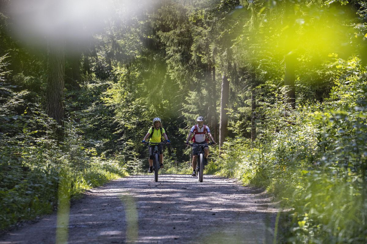
Gravel biking around Laufach offers a diverse landscape within the Spessart region of Bavaria, Germany. The area is characterized by dense forests, varied terrain, and a network of trails suitable for different fitness levels. Elevations range from approximately 170 to 500 meters above sea level, providing both challenging climbs and scenic descents. The Laufach river flows through the region, contributing to the natural charm of the landscape.
Best gravel bike trails around Laufach
- The most popular gravel bike trail is…
Last updated: July 13, 2026
5.0
(2)
24
riders
91.2km
05:09
1,000m
1,000m
Hard gravel ride. Very good fitness required. Mostly paved surfaces. Suitable for all skill levels.
5.0
(1)
11
riders
41.0km
02:33
600m
600m
Hard gravel ride. Very good fitness required. Mostly paved surfaces. Suitable for all skill levels.

Sign up for free
5.0
(1)
6
riders
22.9km
01:42
490m
490m
Hard gravel ride. Very good fitness required. Mostly paved surfaces. Suitable for all skill levels.
2
riders
32.5km
02:27
560m
560m
Hard gravel ride. Very good fitness required. Mostly paved surfaces. Suitable for all skill levels.
4.0
(1)
4
riders
19.2km
01:10
270m
270m
Moderate gravel ride. Good fitness required. Mostly paved surfaces. Suitable for all skill levels.
Get access to more routes and recommendations from other explorers.
Sign up for free
Already have an account?
Our route recommendations are based on thousands of hikes, rides, and runs completed by other people on komoot.
Start today with a free account
Your next adventure awaits.
Login or Signup
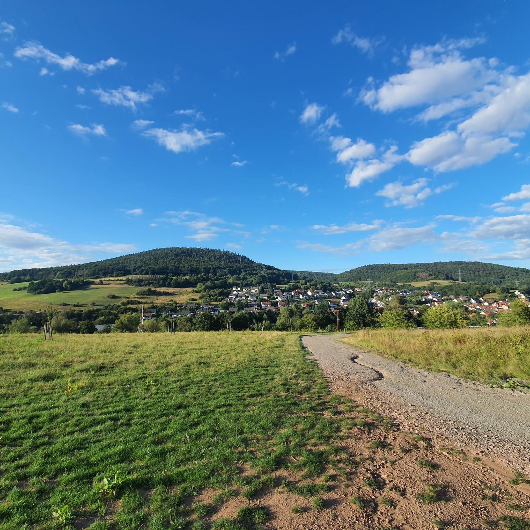
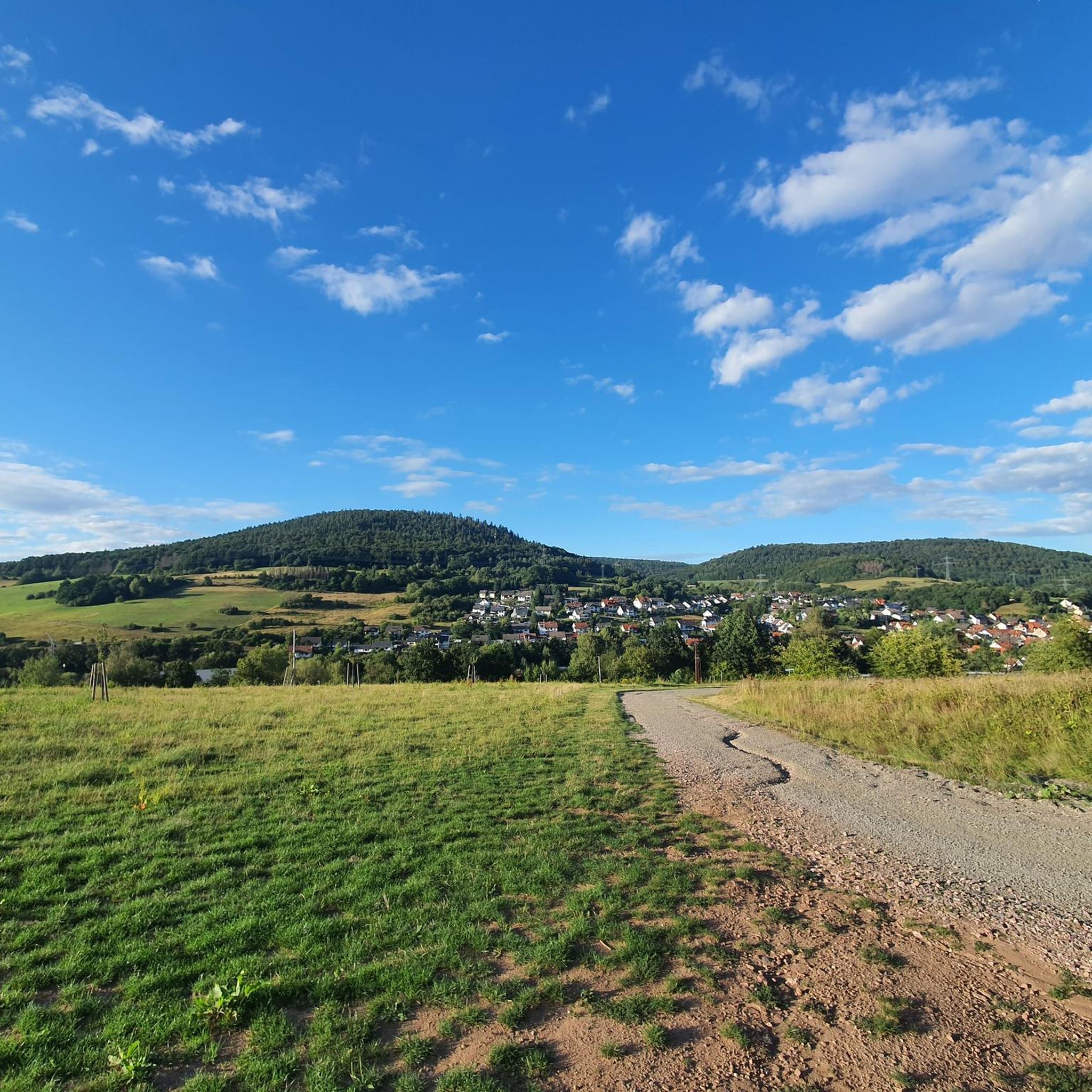
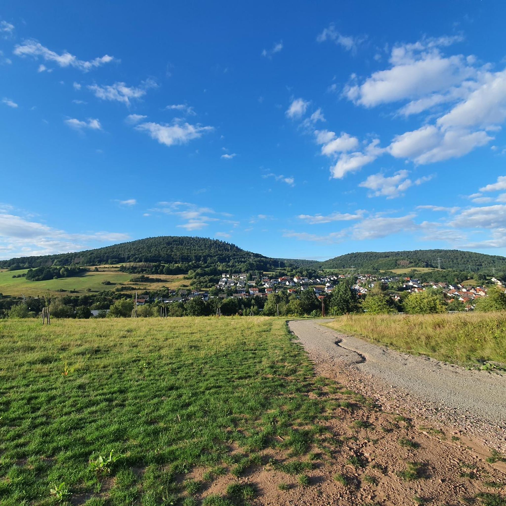
Other adventures around Laufach

Tips from the Community

Large wetland, where water buffalo will soon be grazing.
0
0

unproblematic to drive in both directions
0
0

Beautiful road cycling section, flowing and idyllic
0
0

Vineyards are also part of the scenery here, you can gladly stop here.
0
0


With a view of the church ⛪️.
0
0

Keep your eyes open, or you'll quickly drive past. I was wondering about the bench that stood there by the side of the road, only then did I see the rock.
0
0

A good (and only) spot to refill your food and water supplies. Check opening hours!
1
0
Frequently Asked Questions
How many gravel bike trails are available around Laufach?
There are over 190 gravel bike trails around Laufach, offering a wide range of options for different skill levels and preferences. The area is known for its diverse landscape within the Spessart region, featuring dense forests and varied terrain.
What kind of terrain can I expect on gravel bike trails near Laufach?
The terrain around Laufach is quite varied, ranging from 170 to 500 meters above sea level. You can expect a mix of challenging climbs and scenic descents through dense forests and picturesque trails. Some routes might include sections requiring advanced riding techniques or even pushing your bike.
Are there any family-friendly gravel biking routes in Laufach?
While many routes in Laufach are rated as difficult due to significant elevation changes, there are some easier options available. For a more relaxed experience, look for routes that follow river valleys or have less elevation gain. Always check the route details for specific difficulty ratings and terrain before heading out with family.
Can I bring my dog on the gravel bike trails around Laufach?
Many trails in the Spessart region are suitable for dogs, especially those that follow forest paths and less technical terrain. However, it's always recommended to keep your dog on a leash, especially in forested areas where wildlife might be present, and to ensure they are fit enough for the distance and elevation of your chosen route.
What are some notable landmarks or attractions I can see along the gravel bike trails?
The region offers several interesting sights. You might encounter historical sites like the Wilhelmine Copper Mine or the Mespelbrunn Castle, which is about 12 km from Laufach. For a scenic stop, consider the Hohewart-Haus (Hohe Warte), a rustic forest house popular with outdoor enthusiasts.
Are there any circular gravel bike routes in the Laufach area?
Yes, many gravel bike routes around Laufach are designed as loops, allowing you to start and end at the same point. For example, the Giant Sequoia at Kreuzgrund – Eselsweg Trail Marker loop from Hösbach is a popular circular option that takes you through forested areas.
Where can I find parking for gravel biking in Laufach?
Laufach and its surrounding villages, such as Hösbach, offer various parking options, especially near trailheads or local community centers. Given the extensive trail network, you'll often find designated parking areas that serve hikers and cyclists. It's advisable to check specific starting points for available parking.
What is the best season for gravel biking in Laufach?
The Spessart region is beautiful year-round, but spring and autumn offer particularly pleasant conditions with moderate temperatures and vibrant foliage. Summer can be great, but be prepared for warmer weather. Winter riding is possible, but some trails might be muddy or icy, so check conditions beforehand.
Are there any cafes or pubs near the gravel bike trails for a refreshment stop?
Yes, the region has several spots where you can refuel. The Hohewart-Haus (Hohe Warte) is a well-known forest house offering food and drinks, including local specialties. You'll also find cafes and pubs in Laufach and nearby towns, perfect for a break during or after your ride.
What do other gravel bikers enjoy most about gravel biking in Laufach?
The area is highly rated by the komoot community, with an average score of 4.5 stars. Reviewers often praise the diverse landscape, the challenging climbs, and the picturesque trails through the dense Spessart Forest. The variety of routes caters to different abilities, making it a popular destination for many.
Are there any routes that offer significant elevation gain for advanced riders?
Absolutely. Laufach is known for its challenging climbs. Routes like the Wetland in the Spessart Nature Park – Old Main Bridge Lohr loop from Laufach, with nearly 1000 meters of elevation gain over 91 km, are designed for experienced riders seeking a demanding workout and extensive exploration of the Spessart Nature Park.
Can I reach the gravel bike trails using public transport?
Laufach has a train station, making it accessible by public transport. From there, you can often connect to various starting points for gravel bike trails. It's advisable to check local bus schedules or train connections to ensure your chosen trailhead is conveniently reachable.
Are there any routes that offer great viewpoints?
Yes, the varied topography of the Spessart region provides numerous opportunities for scenic views. Routes that ascend to higher elevations, such as those leading towards peaks like Steigkoppe or Steinknückl, often reward riders with panoramic vistas of the surrounding forests and valleys. The Ludwig Tower (Hahnenkamm) – View from the Ludwigsturm loop from Hösbach is a great example, offering views from the Ludwigsturm.
Most popular routes around Laufach
Most popular attractions around Laufach

Get inspired with the komoot mobile app


Explore more
Browse the best Gravel rides in other regions.
