The best gravel rides around Nordheim vor der Rhön
4.7
(16)
55
riders
7
rides
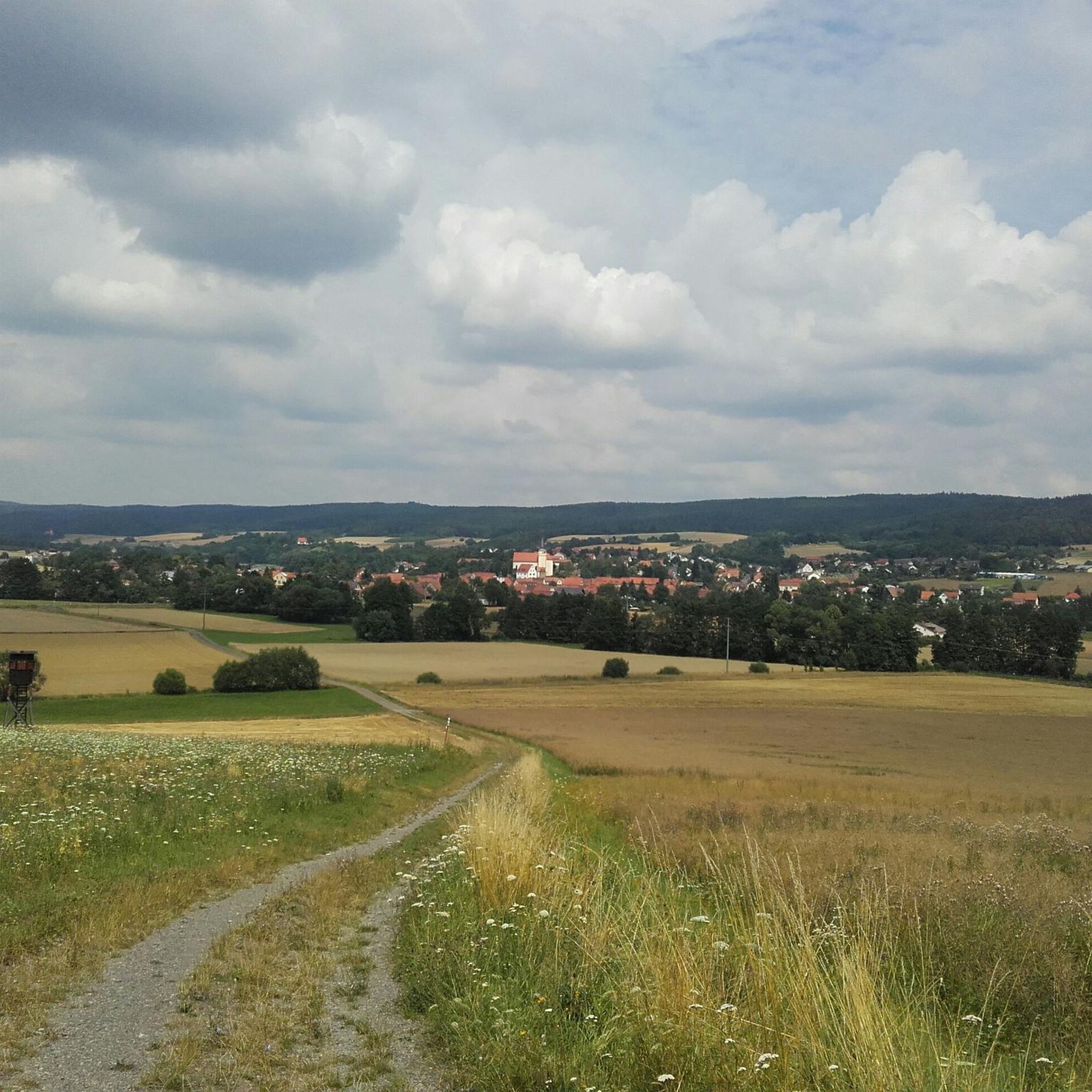
Gravel biking around Nordheim vor der Rhön offers diverse terrain within the UNESCO Biosphere Reserve of the Rhön region. This area is characterized by rolling hills, expansive forests, and open fields, providing numerous routes away from busy roads. The landscape features remnants of ancient volcanic activity, contributing to a unique topography with both wide fields and meadows, as well as steep climbs. Gravel bikers can explore a network of trails through this low mountain range.
Best gravel bike trails around…
Last updated: November 3, 2026
4.6
(5)
17
riders
37.2km
02:54
610m
610m
Hard gravel ride. Very good fitness required. Mostly paved surfaces.
5.0
(5)
14
riders
30.7km
01:46
310m
310m
Moderate gravel ride. Good fitness required. Mostly paved surfaces.

10
riders
42.8km
02:37
410m
410m
Moderate gravel ride. Good fitness required. Mostly paved surfaces.
4.5
(2)
5
riders
58.4km
03:26
500m
500m
Hard gravel ride. Very good fitness required. Mostly paved surfaces.
4.5
(2)
5
riders
24.1km
01:31
260m
260m
Moderate gravel ride. Good fitness required. Mostly paved surfaces.
Get access to more routes and recommendations from other explorers.
Already have an account?
Our route recommendations are based on thousands of hikes, rides, and runs completed by other people on komoot.
Start today with a free account
Your next adventure awaits.
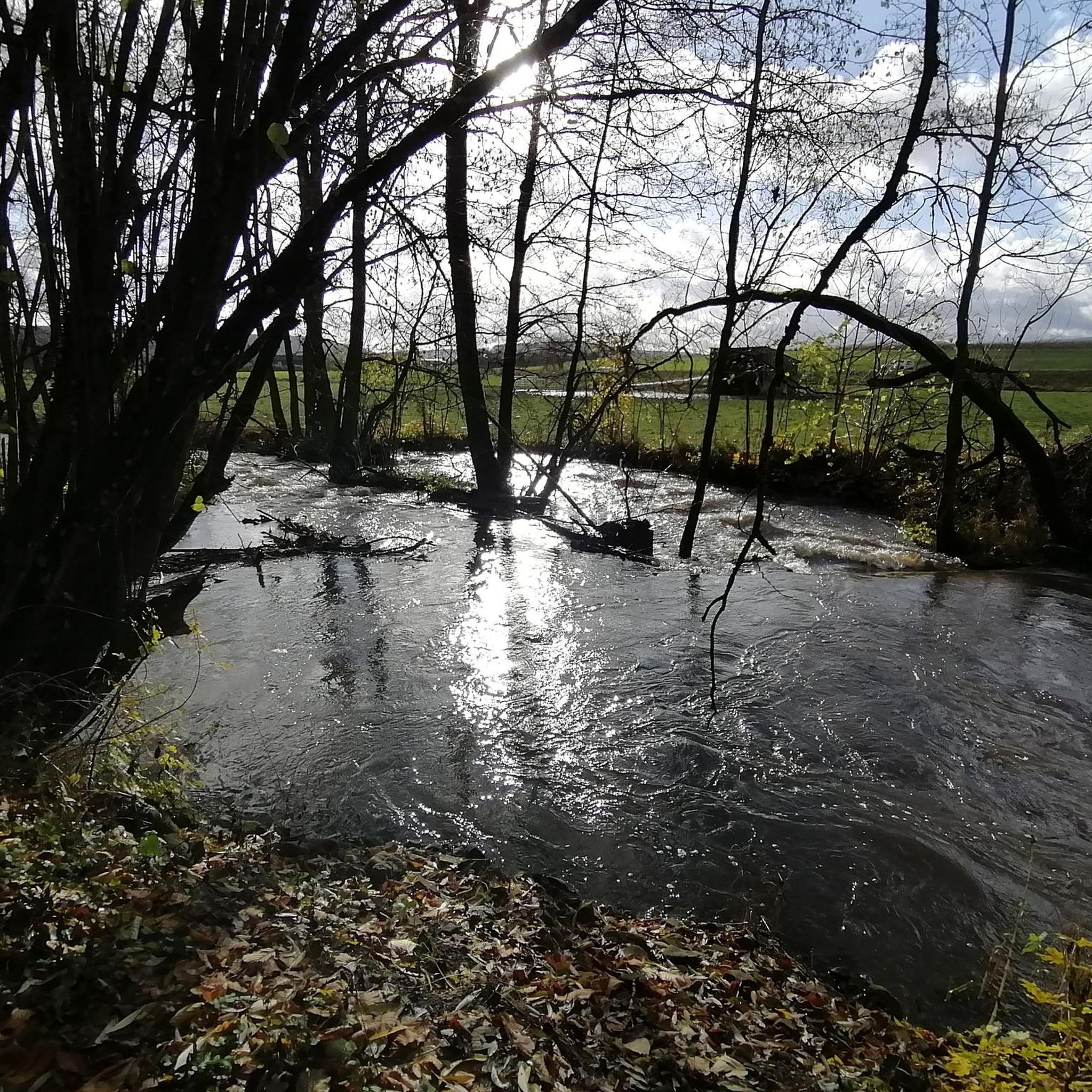
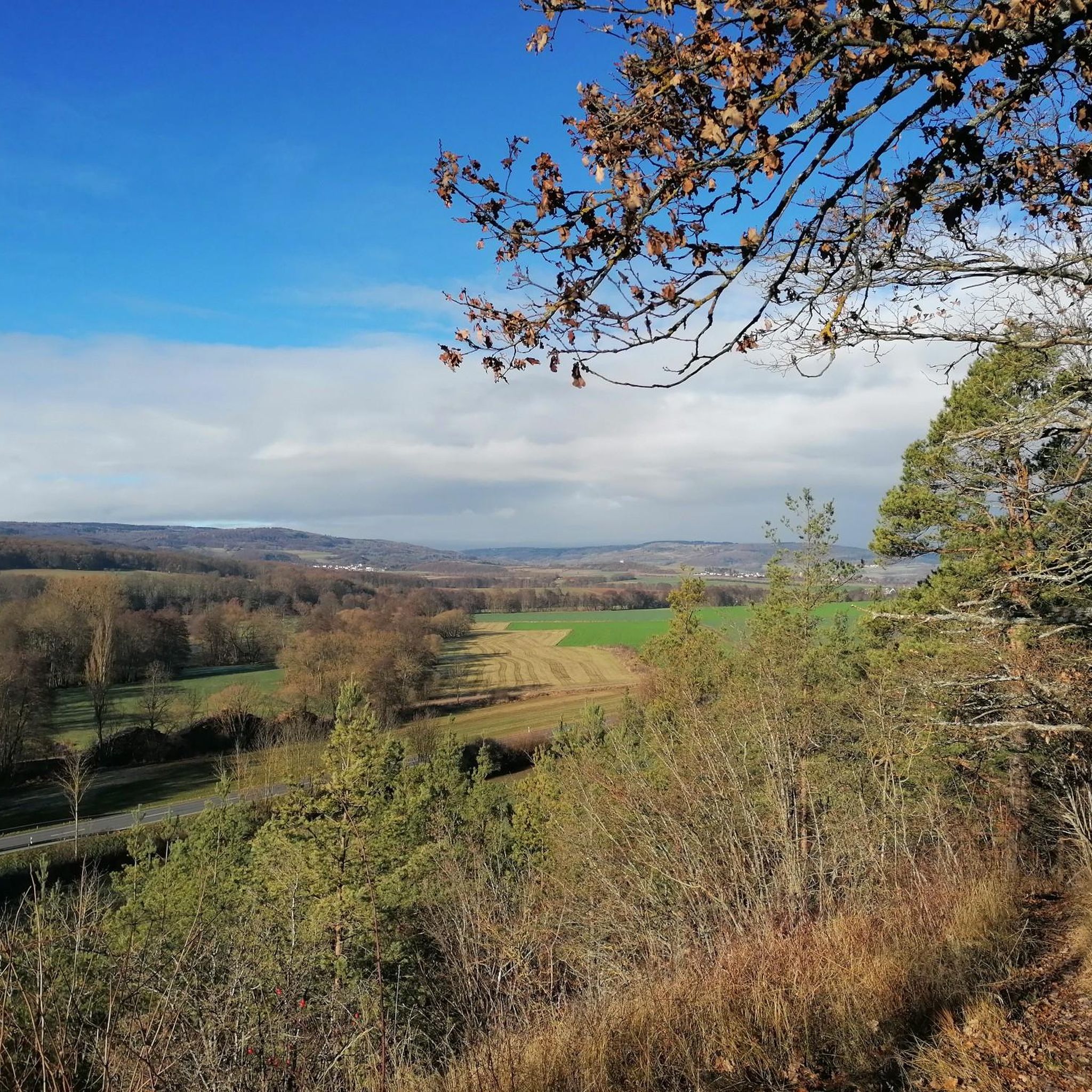
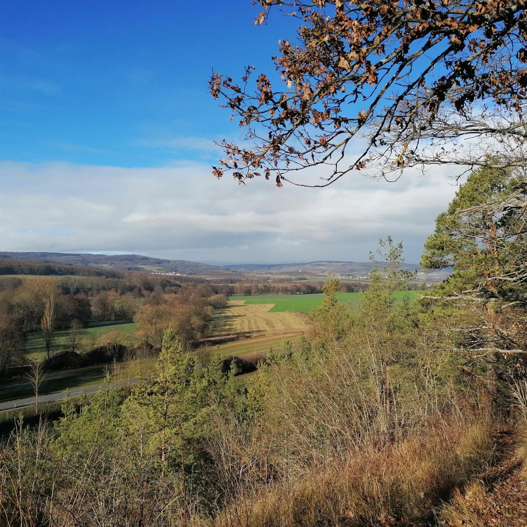
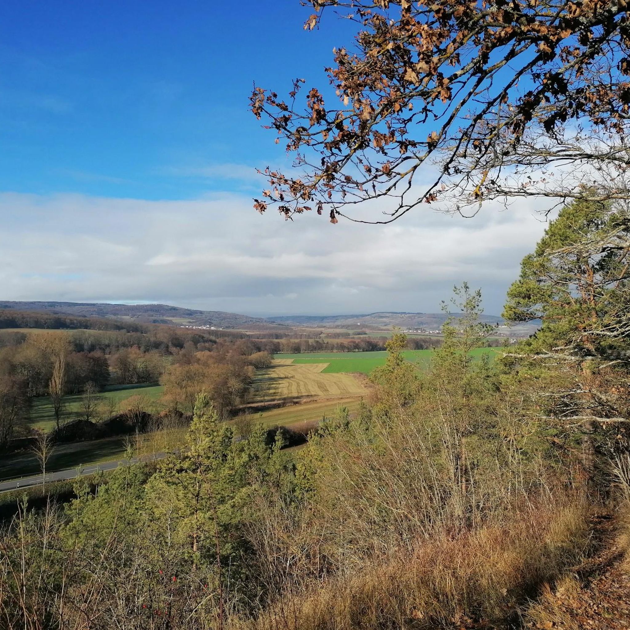
Tips from the Community

The bike paths here are a dream.
1
0

Ostheim is a nice little town with some beautiful old houses.
1
0

Ostheim is a nice little town and there is always something going on :-)
0
0

The Silbersee is an artificially created basalt lake in the former quarry of the Rother Berg. Known for its striking turquoise-green to blue-green water, steep rock faces, and the surrounding, re-naturalized landscape.
1
0
The historic Saale Bridge in Hollstadt is an 18th-century, three-span, round-arched stone bridge. It crosses the Franconian Saale and is now protected as a historical monument.
3
0
Historic stone arch bridge over the Saale.
4
0
River valley of the Fränkische Saale at the foot of the Rhön in northern Unterfranken. Predominantly flat to gently rolling profile along the river meadows; ideal for beginners, families, as well as pleasure cyclists and hikers. Well-maintained (mostly asphalted or finely gravelled) paths, largely away from motorized road traffic.
3
0

Frequently Asked Questions
How many gravel bike trails are available around Nordheim vor der Rhön?
There are over 10 gravel bike routes available around Nordheim vor der Rhön, offering a diverse range of experiences within the UNESCO Biosphere Reserve. These trails cater to various skill levels, from moderate paths to more challenging routes with significant elevation gains.
What kind of terrain can I expect on gravel bike trails in the Rhön region?
The Rhön region, including Nordheim vor der Rhön, offers a varied landscape characterized by rolling hills, expansive forests, and open fields. You'll find numerous forest paths and routes away from busy roads, traversing wide fields and meadows, with both steep climbs and winding sections through dense forests. The underlying volcanic origins contribute to its distinctive hills.
Are there any easy gravel bike trails suitable for beginners or families?
Yes, while many routes offer a challenge, the region does provide options for varying fitness levels, including easier rides on mostly paved surfaces. For a moderate option, consider the Streutalbahn Railway Path – Fladungen Museum Railway loop from Fladungen, which is 19.1 miles (30.7 km) long and leads through varied landscapes.
What are some notable natural attractions I can see along the gravel bike routes?
Many routes offer access to the region's natural beauty. You can explore the unique ecosystem of the Schwarzes Moor Nature Trail, which features a wooden boardwalk and an observation tower. Another highlight is the idyllic Eisgraben Waterfall, an excellent excursion destination near Nordheim vor der Rhön.
Are there any circular gravel bike routes in the area?
Yes, many of the gravel bike routes around Nordheim vor der Rhön are designed as loops. For example, the Schwarzes Moor loop from Flagunden - Bavarian Rhön Nature Park is a popular 23.1-mile (37.2 km) difficult route that explores the unique moor landscape. Another option is the Saale Bridge, Hollstadt – Streu River Trail loop from Mellrichstadt Bf, a moderate 43.6 km tour.
What is the best time of year for gravel biking in Nordheim vor der Rhön?
The Rhön region is ideal for gravel biking in almost all seasons. You can enjoy blooming meadows in spring, sunny hills in summer, and vibrant autumnal forests. Each season offers a unique perspective on the diverse landscape.
Are there any challenging gravel bike routes for experienced riders?
Absolutely. The region offers several difficult routes with significant elevation gains. The Streu River Trail – Saale Bridge, Hollstadt loop from Mellrichstadt Bf is a challenging 39.3-mile (63.2 km) path, and the Saale Bridge, Hollstadt – Maria Bildhausen Monastery loop from Mellrichstadt Bf is another difficult option spanning 64.5 km.
What do other gravel bikers say about the trails in Nordheim vor der Rhön?
The gravel biking routes around Nordheim vor der Rhön are highly rated by the komoot community, with an average score of 4.7 stars from more than 10 reviews. Over 70 gravel bikers have used komoot to explore the varied terrain, often praising the quiet paths and scenic views away from busy roads.
Are there places to stop for refreshments or rest along the trails?
While specific cafes directly on every trail are not listed, the region has several huts and guesthouses that can serve as rest areas. For example, the Eisgrabenhütte Rest Area and the Grundmühle Guesthouse are available in the wider area, offering opportunities for a break.
Can I bring my dog on the gravel bike trails?
Many natural trails in the Rhön region are suitable for dogs, provided they are kept on a leash and you adhere to local regulations, especially within the Biosphere Reserve. It's always recommended to check specific trail rules and be mindful of wildlife and other trail users.
Are there good viewpoints along the gravel bike routes?
Yes, the Rhön is known as the 'Land of Open Vistas,' offering breathtaking panoramic views. The Rother Kuppe Observation Tower is a notable viewpoint in the area, providing extensive vistas of the surrounding landscape. Many routes also traverse elevated areas like the Hochrhön, which naturally offer stunning outlooks.
Is public transport available to access the gravel bike trails around Nordheim vor der Rhön?
While Nordheim vor der Rhön is a rural area, some regional bus services might connect to nearby towns. However, direct public transport access specifically designed for cyclists with bikes to trailheads can be limited. It's advisable to check local bus schedules and bike transport policies if you plan to use public transport.
Most popular routes around Nordheim vor der Rhön
Most popular attractions around Nordheim vor der Rhön

Get inspired with the komoot mobile app


Explore more
Browse the best Gravel rides in other regions.
