The best gravel rides around Bühlertann
4.8
(7)
77
riders
33
rides
Gravel biking around Bühlertann offers diverse landscapes characterized by meadows, fields, and rolling hills. The region is traversed by the Bühler River, providing routes along its banks, and features extensive forests of the Ellwanger Berge. The topography includes quiet forest areas and cultural landscapes with views over the Hohenlohe plains, suitable for varied gravel biking experiences.
Best gravel bike trails around Bühlertann
- The most popular gravel bike trail is Blinde Rot Valley – Orrotsee loop from Oberspeltach, a 33.2…
Last updated: July 16, 2026
4.5
(2)
8
riders
Moderate gravel ride. Good fitness required. Mostly paved surfaces. Suitable for all skill levels.
5.0
(1)
9
riders
53.4km
03:02
420m
420m
Moderate gravel ride. Good fitness required. Mostly paved surfaces. Suitable for all skill levels.

Sign up for free
11
riders
42.8km
02:28
340m
340m
Moderate gravel ride. Good fitness required. Mostly paved surfaces. Suitable for all skill levels.
5
riders
31.6km
01:58
270m
260m
Moderate gravel ride. Good fitness required. Mostly paved surfaces. Suitable for all skill levels.
2
riders
35.9km
02:36
450m
450m
Moderate gravel ride. Good fitness required. Mostly paved surfaces. Suitable for all skill levels.
Get access to more routes and recommendations from other explorers.
Sign up for free
Already have an account?
Our route recommendations are based on thousands of hikes, rides, and runs completed by other people on komoot.
Start today with a free account
Your next adventure awaits.
Login or Signup
Popular around Bühlertann
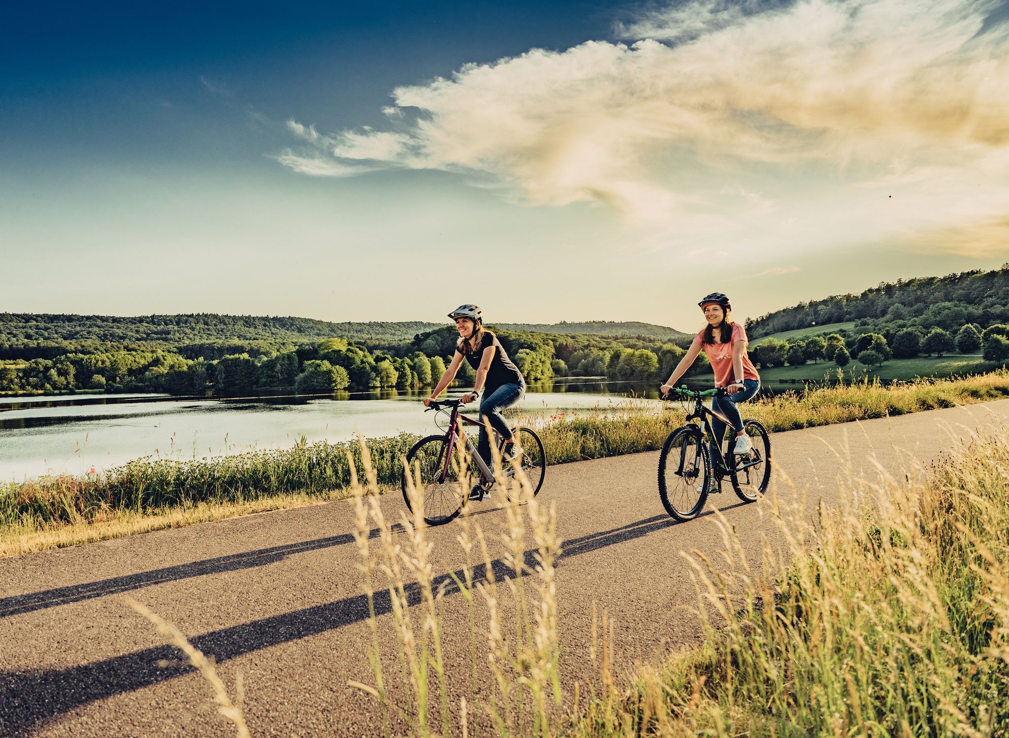
Beautiful day Tours along the Tauber, Kocher, Jagst and Neckar rivers
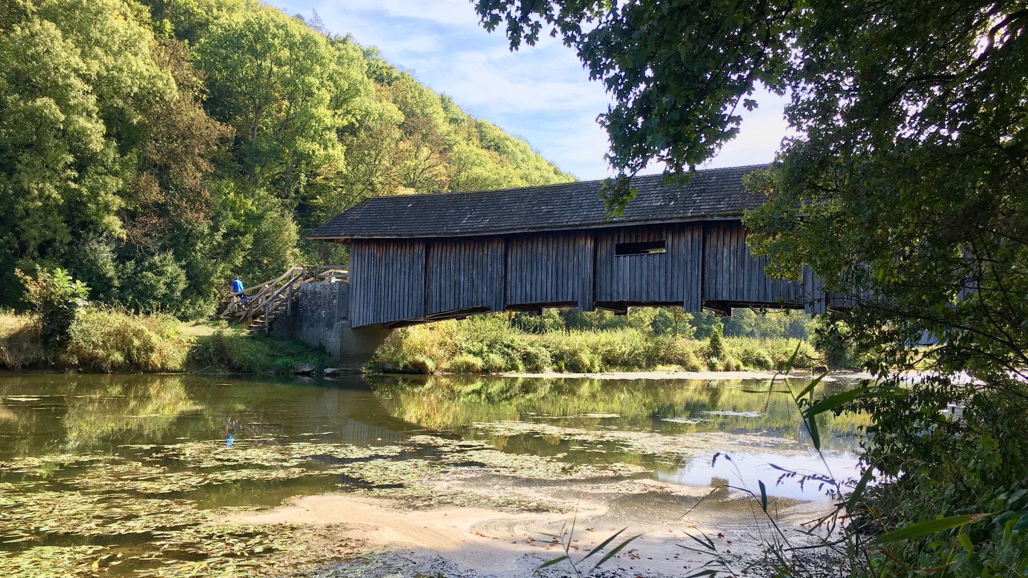
Kocher-Jagst-Trail – Naturerlebnis und Kulturgenuss im Herzen Hohenlohes
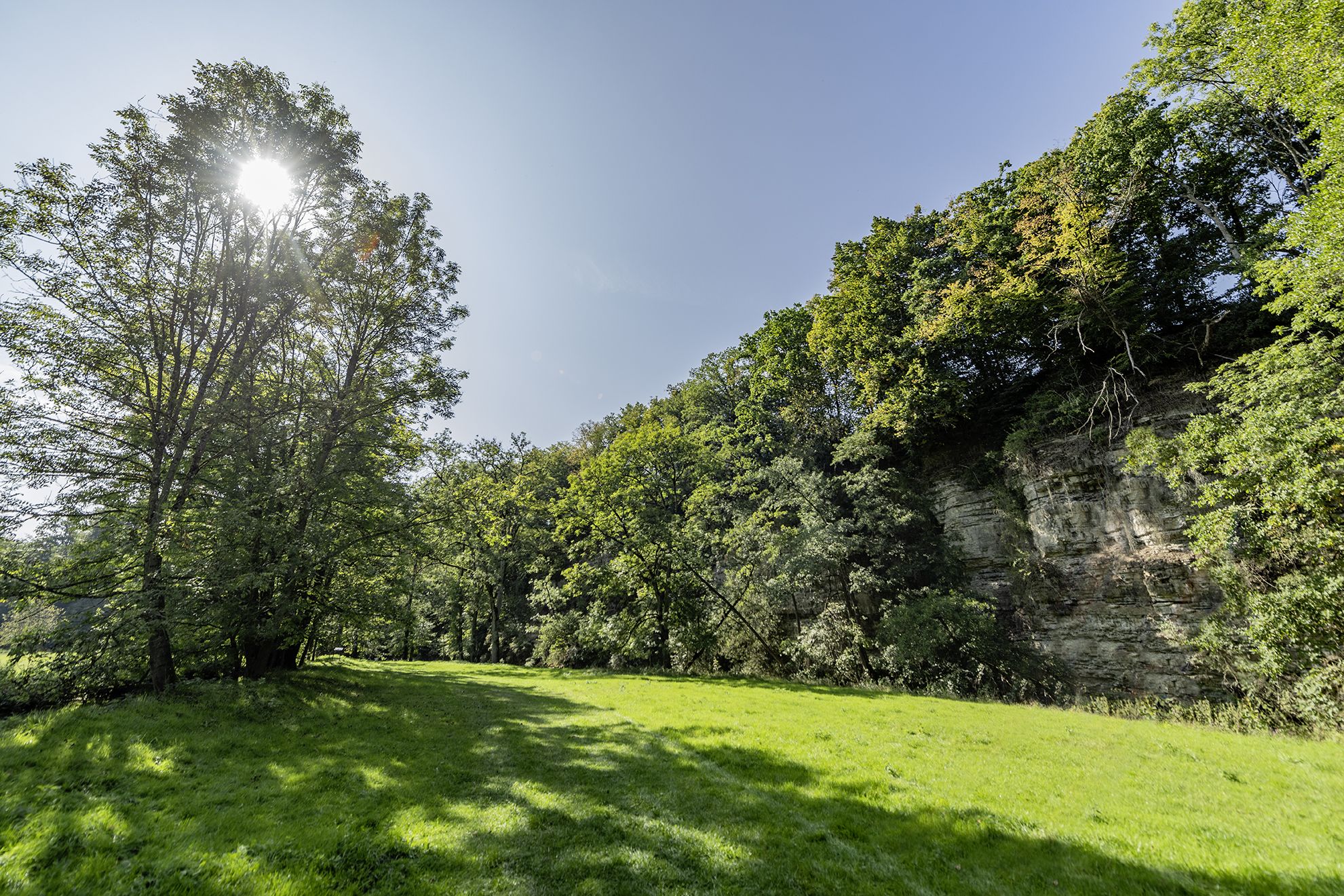
Wandern im Hohenloher Bühlertal – Auf Entdeckerpfaden durchs Naturidyll
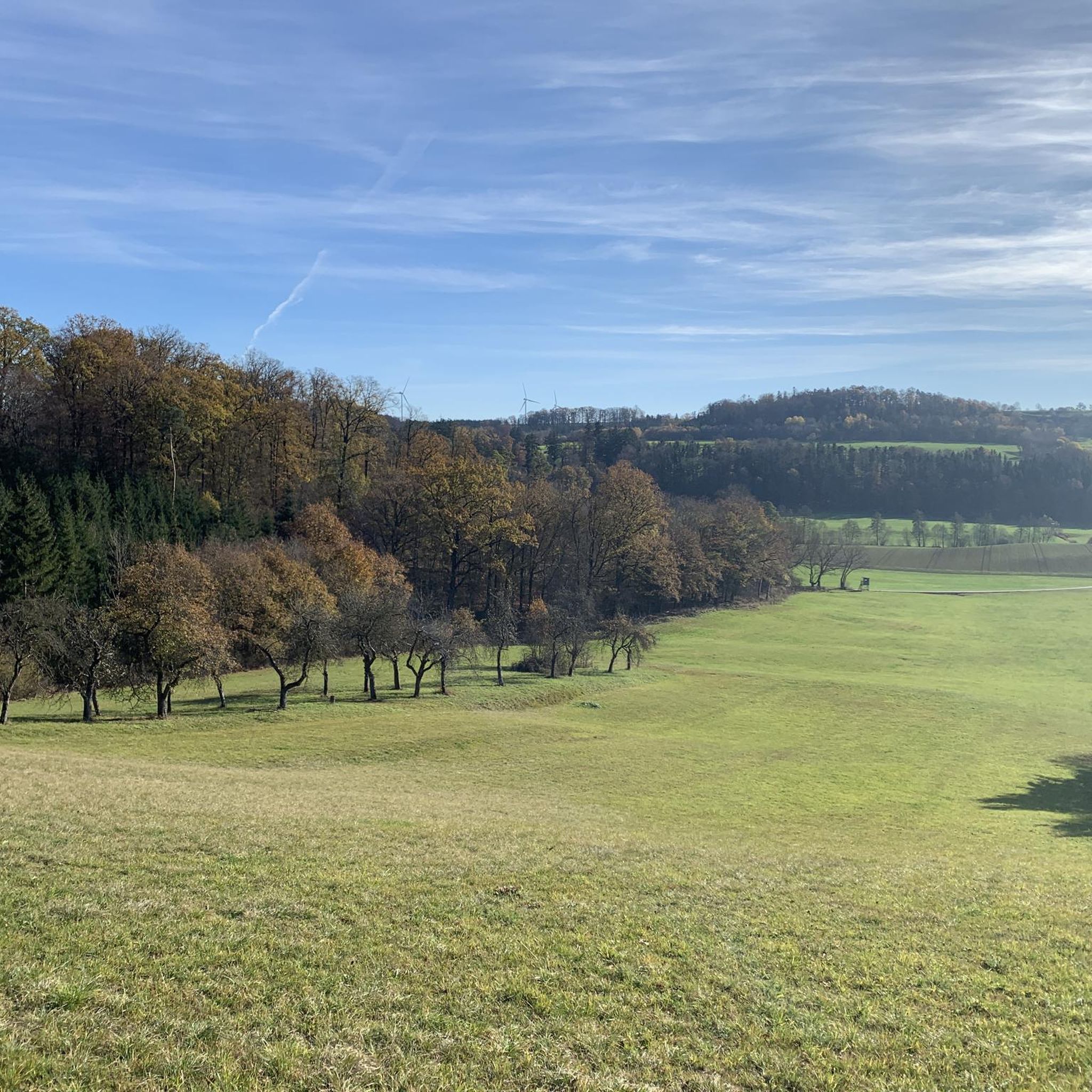
Cycling around Bühlertann
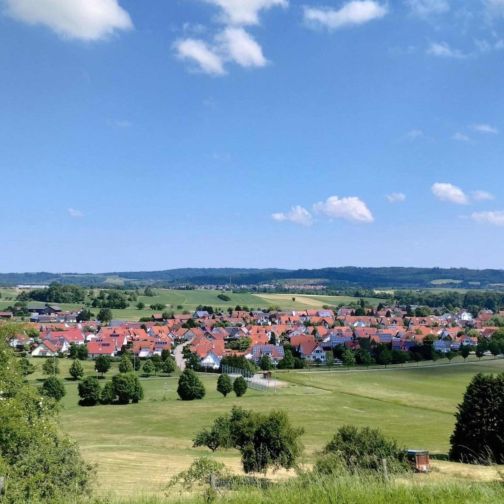
Hiking around Bühlertann
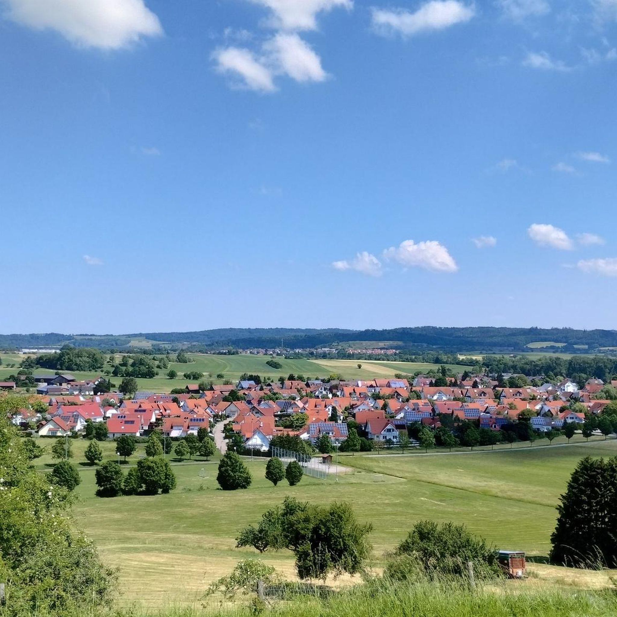
MTB Trails around Bühlertann
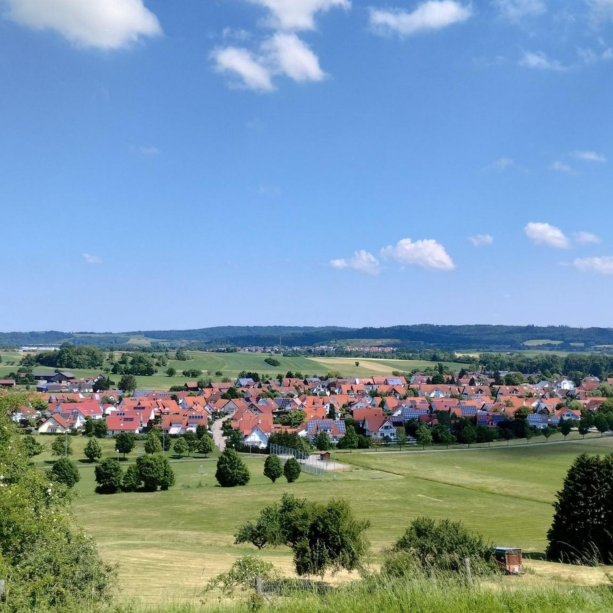
Road Cycling Routes around Bühlertann
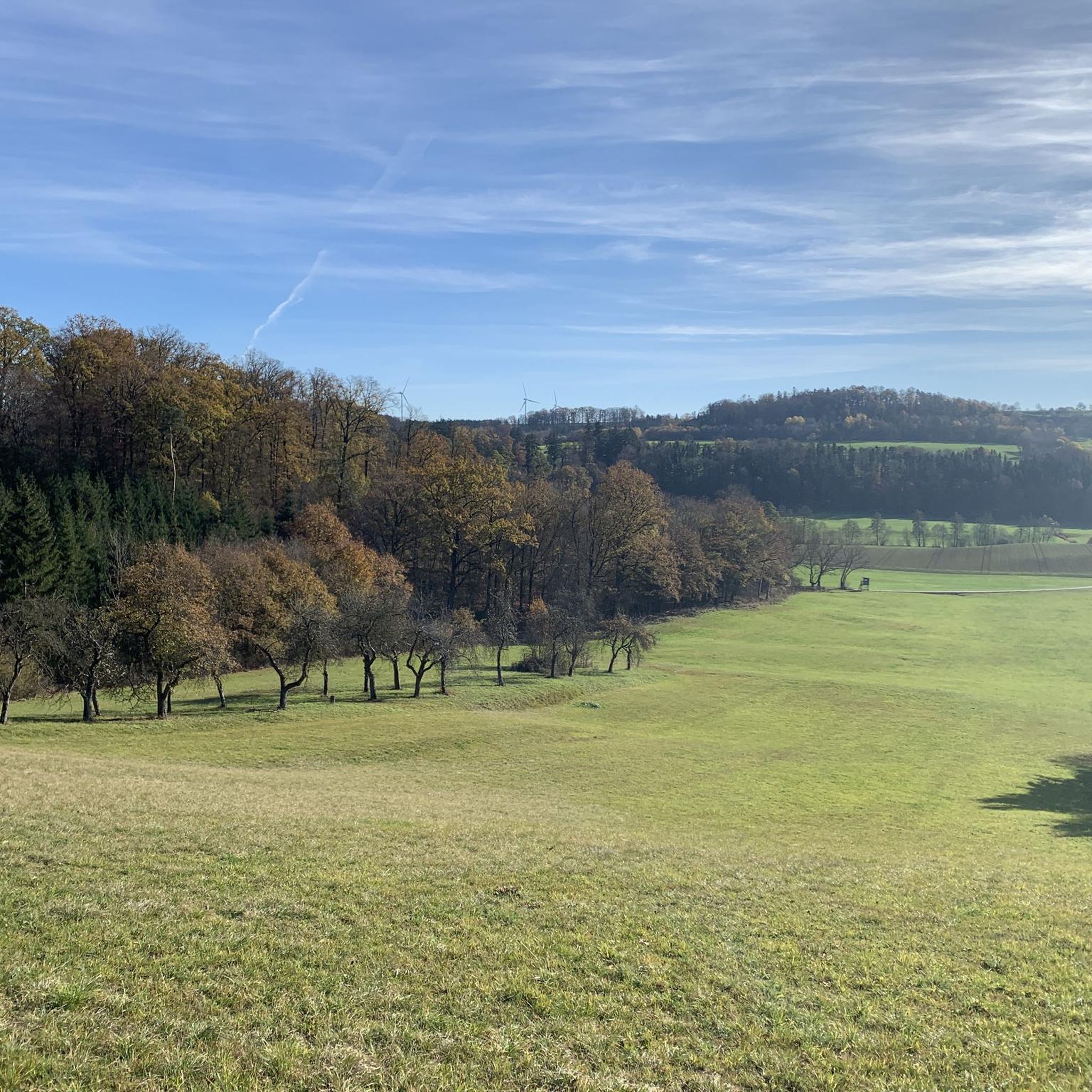
Running Trails around Bühlertann
Other adventures around Bühlertann


Tips from the Community

Pilgrimage hospice on the Way of St. James. The painter and priest Sieger Köder designed the pictures, stained glass windows, and the cemetery. Very worth seeing
0
0

Super "cycle highway" through the Fischachtal.
0
0


The picture showing the view into the inlet pipe looks really impressive, but it can only be seen when the lake is empty.
2
0
It is a pleasure to look out over the vastness.
1
0
Frequently Asked Questions
What kind of terrain can I expect on gravel bike trails near Bühlertann?
Gravel biking around Bühlertann offers a diverse landscape. You'll find a mix of meadows, fields, and rolling hills, with routes often following the Bühler River. The region also features extensive, quiet forests of the Ellwanger Berge and charming cultural landscapes, providing scenic views over the Hohenlohe plains. The confluence of the Kocher and Jagst valleys further enhances the varied terrain, making it ideal for gravel biking.
Are there gravel bike trails suitable for beginners in Bühlertann?
Yes, Bühlertann offers gravel bike routes suitable for various fitness levels. While many routes are moderate, there are options that cater to those looking for a less strenuous ride. The overall network provides a good mix of challenges, ensuring beginners can find enjoyable paths.
What are some popular circular gravel bike routes in the Bühlertann area?
Many gravel bike routes in Bühlertann are designed as loops, offering convenient starting and ending points. A popular option is the Pilgrimage Church of Hohenberg – Orrotsee loop from Orbachtal mit Streuwiesen, which is a moderate 26.3-mile (42.4 km) path. Another well-liked loop is the Haspel Lake – Haspelsee Picnic and Rest Area loop from Bühlerzell, covering 19.6 miles (31.6 km) through varied terrain.
What historical landmarks or natural attractions can I see along the gravel bike trails?
The region around Bühlertann is rich in both natural beauty and historical sites. You might encounter the 13th-century Ruins of St. Bartholomäus Church, Anhausen, or ride past the picturesque Haspel Lake. The Orrotsee is another beautiful lake often featured on routes. For panoramic views, consider routes that offer glimpses of the Altenberg Tower, which provides magnificent vistas of the surrounding landscapes.
Are there any routes that feature lakes or water bodies?
Absolutely! Several gravel bike routes in the Bühlertann area incorporate beautiful lakes and rivers. For example, the Blinde Rot Valley – Orrotsee loop from Oberspeltach explores the Blinde Rot Valley and circles the scenic Orrotsee. Another route, the Haspel Lake – Haspelsee Picnic and Rest Area loop from Bühlerzell, takes you around Haspel Lake.
What do other gravel bikers enjoy most about the trails in Bühlertann?
The gravel biking routes around Bühlertann are highly rated by the komoot community, with an average score of 4.8 stars from 4 reviews. Riders often praise the diverse landscapes, which combine quiet forest areas, charming cultural landscapes, and idyllic river valleys. The variety of terrain, from rolling hills to shaded forest paths, is frequently highlighted as a key enjoyment factor.
How long do gravel bike tours typically take around Bühlertann?
The duration of gravel bike tours in Bühlertann varies depending on the route length and your pace. For instance, the Blinde Rot Valley – Orrotsee loop from Oberspeltach, which is 33.2 miles (53.4 km), typically takes around 3 hours and 2 minutes. Shorter routes, like the Haspel Lake – Haspelsee Picnic and Rest Area loop from Bühlerzell (19.6 miles / 31.6 km), can be completed in about 1 hour and 58 minutes.
Are there any routes with significant viewpoints or panoramic vistas?
Yes, the region offers several opportunities for rewarding views. The Altenberg Tower, located on the highest elevation in Franconia, provides magnificent panoramic views of the Swabian Alb, Hohenlohe plains, and Ellwanger mountains. While not directly on every route, some trails offer scenic overlooks of the Hohenlohe plains and the picturesque river valleys, such as the View of Oberfischach – Eisbach Trail Section loop from Bühlertann.
What is the best time of year for gravel biking in Bühlertann?
Bühlertann is enjoyable for gravel biking across multiple seasons. Spring and autumn offer pleasant temperatures and vibrant scenery, with forests changing colors. Summer provides warmer weather, ideal for longer rides, though shaded forest paths offer respite. Even winter can be an option, with the landscape taking on a different, serene beauty, though conditions may require more robust tires and careful planning.
Are there any towns or villages along the routes where I can stop for a break or refreshments?
Yes, the region features charming towns and villages that make for excellent stopovers. Vellberg Old Town, a medieval gem near Schwäbisch Hall, offers historic buildings and a cultural break. Gaildorf Old Town, with its half-timbered buildings and castle, also provides appealing spots for refreshments and dining along the Kocher river.
How many gravel bike trails are there in total around Bühlertann?
There are over 50 gravel bike trails available around Bühlertann, offering a wide range of options for different skill levels and preferences. This extensive network ensures plenty of opportunities to explore the diverse landscapes of the region.
Can I find routes that are more challenging for advanced gravel bikers?
Yes, while many routes are moderate, the region around Bühlertann also offers trails categorized as difficult, requiring very good fitness. These routes often include challenging climbs and rewarding descents through varied terrain, including unpaved segments that test your skills.
Most popular routes around Bühlertann
Most popular attractions around Bühlertann

Get inspired with the komoot mobile app


Explore more
Browse the best Gravel rides in other regions.
