The best gravel rides around Groß-Gerau
4.4
(467)
2,800
riders
206
rides
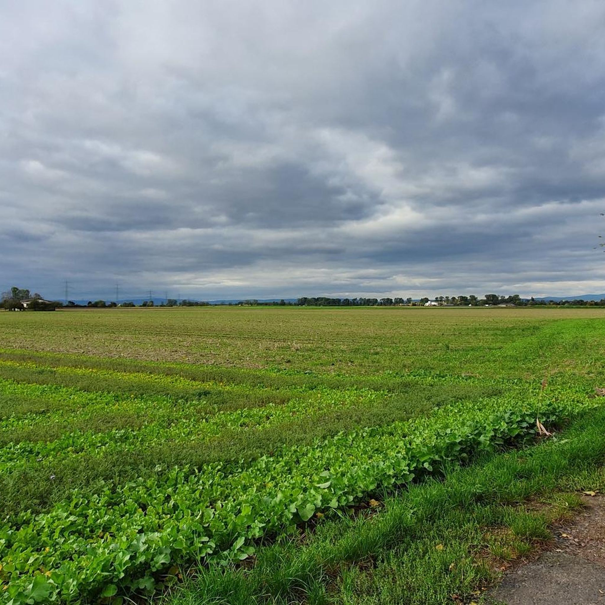
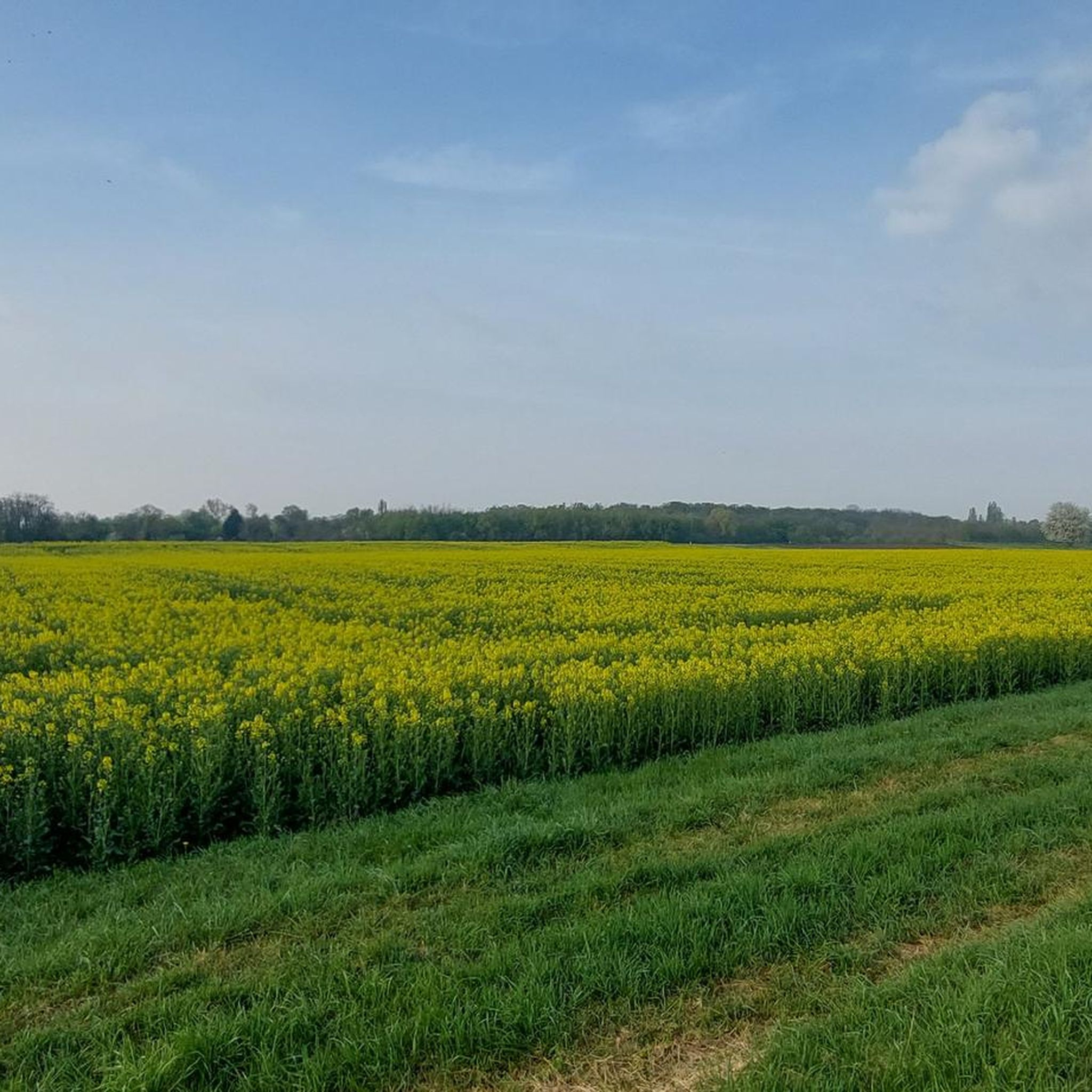
Gravel biking around Groß-Gerau offers predominantly flat terrain, making it suitable for extended rides. The region is characterized by the river systems of the Rhine and Main, providing numerous riverside paths. Extensive nature reserves like Kühkopf-Knoblochsaue and Mönchbruch feature networks of paths through natural landscapes. Agricultural areas with hedgerows also contribute to the diverse, non-technical terrain for gravel cyclists.
Best gravel bike trails around Groß-Gerau
- The most popular gravel bike trail is Martin-Roth Bridge loop from Groß-Gerau-Dornheim, a 23.2…
Last updated: September 30, 2026
4.2
(5)
26
riders
43.8km
02:11
60m
60m
Moderate gravel ride. Good fitness required. Mostly paved surfaces. Suitable for all skill levels.
5.0
(3)
18
riders
80.3km
04:24
320m
320m
Moderate gravel ride. Good fitness required. Mostly paved surfaces. Suitable for all skill levels.

4.5
(6)
25
riders
52.1km
02:33
140m
140m
Moderate gravel ride. Good fitness required. Mostly paved surfaces. Suitable for all skill levels.
5.0
(1)
16
riders
37.3km
02:09
40m
40m
Moderate gravel ride. Good fitness required. Mostly paved surfaces. Suitable for all skill levels.
4.0
(1)
15
riders
Hard gravel ride. Great for any fitness level. You may need to push your bike for some segments of this route.
Get access to more routes and recommendations from other explorers.
Already have an account?
Our route recommendations are based on thousands of hikes, rides, and runs completed by other people on komoot.
Start today with a free account
Your next adventure awaits.


Tips from the Community

The Flörsheimer Warte, a former watchtower, was part of the Kasteler Landwehr in the 15th century, which the Archbishopric of Mainz had established to protect its possessions on the right bank of the Rhine. After secularization (1803), the Landwehr lost its importance, as there was nothing left to defend due to lack of substance. The Flörsheimer Warte gradually fell into ruin. In 1996, a reconstruction based on historical models was built next to the relics of the medieval defensive tower. From here, there are magnificent panoramic views in all four cardinal directions over the Rheingau and the Taunus to the Frankfurt skyline. The popular excursion restaurant "Flörsheimer Warte" with a wine garden and weekend winter lounge invites you to enjoy Spundekäs, Handkäs, and Bauernsalat, accompanied by the best drops from the vineyards in Wicker and Hochheim. More information: https://www.rheingau.com/infosystem/floersheimer-warte/poi.html.
1
0

Currently, after the long drought and the associated extreme low water levels, it is a very sad sight on the banks of the Rhine.
2
0

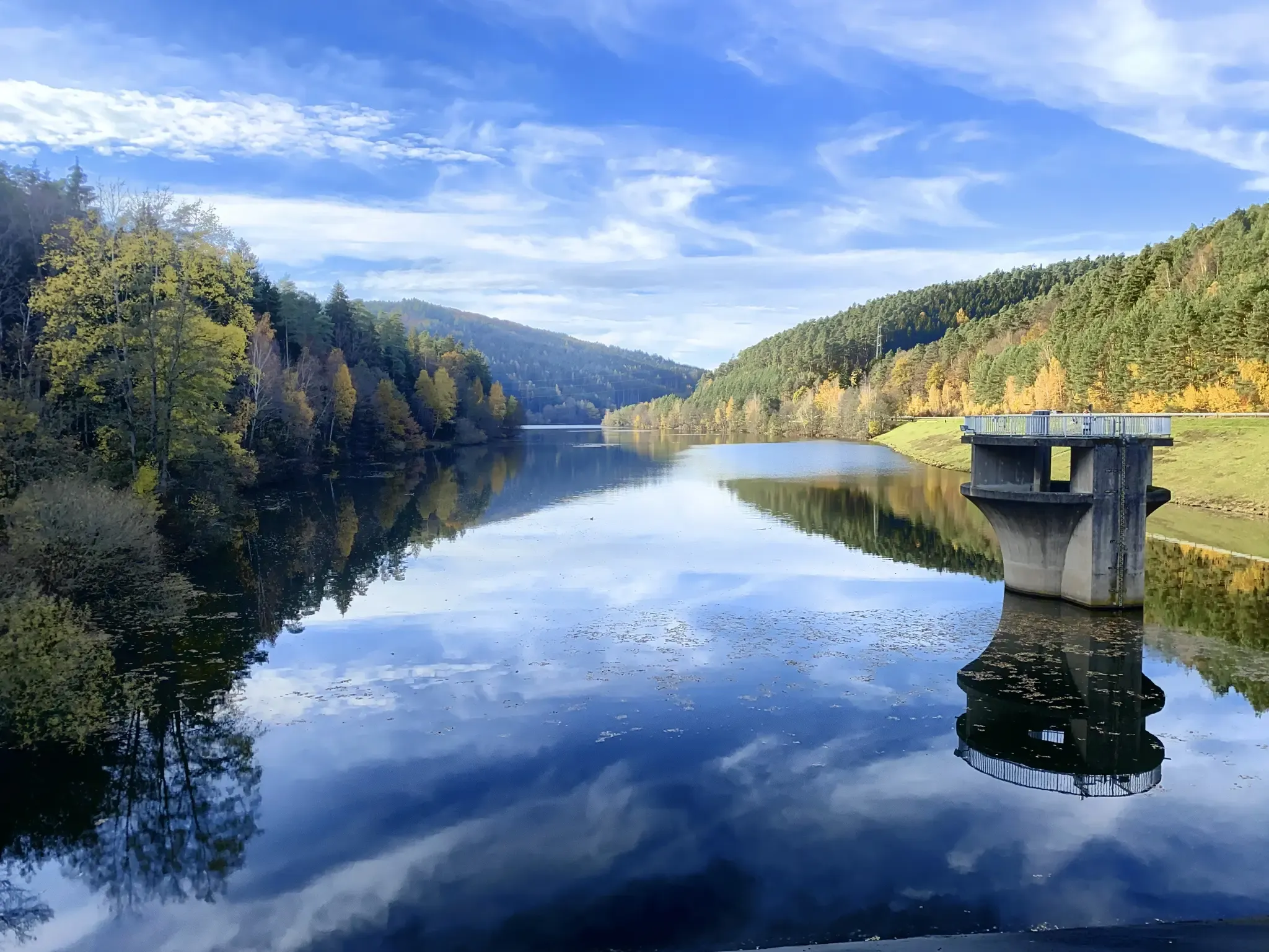
The Hegbachsee was created in the mid-1960s through gravel extraction for the adjacent motorway. Before the current name caught on in 1987, six different names for the lake were in circulation, including Autobahnbaggersee and Nauheimer Waldsee. Today, the body of water serves as a flood retention basin and a recreational area. Although swimming is not permitted here, a walk around the lake is worthwhile in any season. The diverse birdlife, in particular, is something to marvel at here.
1
0

The Main, with a total length of 527 kilometers, is the longest right tributary of the Rhine and one of Germany's most important rivers. It originates with its two headwaters (White and Red Main) in Bavaria and flows in characteristic loops from east to west. Its long journey ends at the so-called Mainspitze, where it flows into the Rhine exactly between Ginsheim-Gustavsburg and the Wiesbaden district of Mainz-Kostheim, directly opposite Mainz's old town.
13
0
The Mainz South Bridge (also known as the Mainz-South Railway Bridge, and at times as the Mainz-Gustavsburg Railway Bridge) is a railway bridge on the Mainz–Frankfurt railway line, spanning the Rhine at river kilometer 496.4 and connecting Mainz in Rhineland-Palatinate with Gustavsburg in Hesse. A footbridge attached to the north side of the bridge allows pedestrians and cyclists to cross the river.
19
2
From the railway bridge you have a magnificent view of the entire region, especially Mainz and the Taunus
11
0
The Flörsheimer Warte is located here! An absolutely worthwhile destination for an excursion, because the view is magnificent and you can also take a break up here with a glass of wine or other snacks.
20
3

The Große Lache lake in the Kühkopf-Knoblochsaue nature reserve is a true highlight for nature lovers. Located in the heart of Hesse's largest nature reserve, it is especially popular with cyclists and hikers. The landscape is characterized by riparian forests, meadows, and old branches of the Rhine – a paradise for birds, wildlife, and anyone seeking tranquility.
2
0
Frequently Asked Questions
What kind of terrain can I expect on gravel bike trails in Groß-Gerau?
Gravel biking in Groß-Gerau primarily features flat terrain, making it suitable for extended rides without significant climbs. You'll encounter diverse surfaces, including riverside paths along the Rhine and Main, networks of paths within nature reserves like Kühkopf-Knoblochsaue and Mönchbruch, and routes through agricultural landscapes often lined with hedgerows. This mix provides varied, non-technical terrain ideal for gravel bikes.
Are there any easy gravel bike trails suitable for beginners in Groß-Gerau?
Yes, Groß-Gerau offers several easy gravel biking options. For instance, the Mönchbruchallee – Hegbach Lake loop from Groß Gerau is an easy 28.9-kilometer route that takes just under 1.5 hours to complete, offering a pleasant ride through the natural setting.
Can I find circular gravel bike routes in the Groß-Gerau area?
Absolutely. Many of the gravel routes in Groß-Gerau are designed as loops, allowing you to start and end at the same point. A popular example is the Martin-Roth Bridge loop from Groß-Gerau-Dornheim, a moderate 37.4-kilometer route that explores the riverine environment.
What natural features or landmarks can I see along the gravel bike trails?
The routes often pass through significant natural areas and near cultural highlights. You might encounter the scenic river systems of the Rhine and Main, or explore the protected landscapes of the Kühkopf-Knoblochsaue and Mönchbruch nature reserves. Notable points of interest include the Stockstadt–Erfelden Old Rhine at Kühkopf-Knoblochsaue or the Mönchbruch Nature Reserve Observation Tower. Cultural attractions like the Ship Mill in Ginsheim-Gustavsburg or the Fortress Rüsselsheim are also accessible from some routes.
Are there any gravel routes that pass by lakes or bodies of water?
Yes, the region's proximity to the Rhine and Main rivers means many routes follow their banks. Additionally, you can find routes that pass by lakes. For example, the Riedsee – Martin-Roth Bridge loop from Groß Gerau is a moderate 47.2-kilometer route that includes the Riedsee.
What do other gravel bikers enjoy most about riding in Groß-Gerau?
The gravel biking routes in Groß-Gerau are highly rated by the komoot community, with an average score of 4.5 stars from over 500 reviews. Riders frequently praise the predominantly flat and varied terrain, which is perfect for extended, less strenuous rides, as well as the scenic beauty of the riverside paths and nature reserves.
Are there any specific routes that explore the Mönchbruch nature reserve?
Yes, the Mönchbruch nature reserve is a popular area for gravel biking. A great option is the Mönchbruch Pond – Mönchbruchallee loop from Groß Gerau-Dornberg, a moderate 43.9-kilometer path that takes you deep into the natural setting of the reserve.
Are there places to stop for refreshments or cafes along the gravel trails?
The region is well-suited for extended cycling tours, and you'll find various places to stop for refreshments along the way, especially in the towns and villages that routes pass through. While specific cafes aren't listed for every route, the developed cycling infrastructure ensures opportunities for breaks.
What is the best time of year for gravel biking in Groß-Gerau?
Groß-Gerau's flat terrain makes it accessible for gravel biking through much of the year. Spring and autumn offer pleasant temperatures and beautiful scenery. Summer is also suitable, though it can be warmer, while winter rides are possible, especially on the well-maintained paths, but riders should be prepared for cooler conditions.
Are there gravel routes that pass through agricultural landscapes?
Yes, the agricultural landscapes are a defining feature of the region. The Leeheim Space Monitoring Station – Riedweg Cycle Path loop from Groß Gerau-Dornberg is a 37.5-kilometer trail that leads through these areas, often featuring hedgerows that add to the scenic appeal.
How many gravel biking routes are available in Groß-Gerau?
There are over 20 gravel biking routes available in Groß-Gerau, offering a good variety for different skill levels. This includes 3 easy routes, 15 moderate routes, and 3 more challenging options.
Most popular routes around Groß-Gerau
Most popular attractions around Groß-Gerau

Get inspired with the komoot mobile app


Explore more
Browse the best Gravel rides in other regions.
