The best gravel rides around Eiterfeld
4.7
(16)
66
riders
22
rides
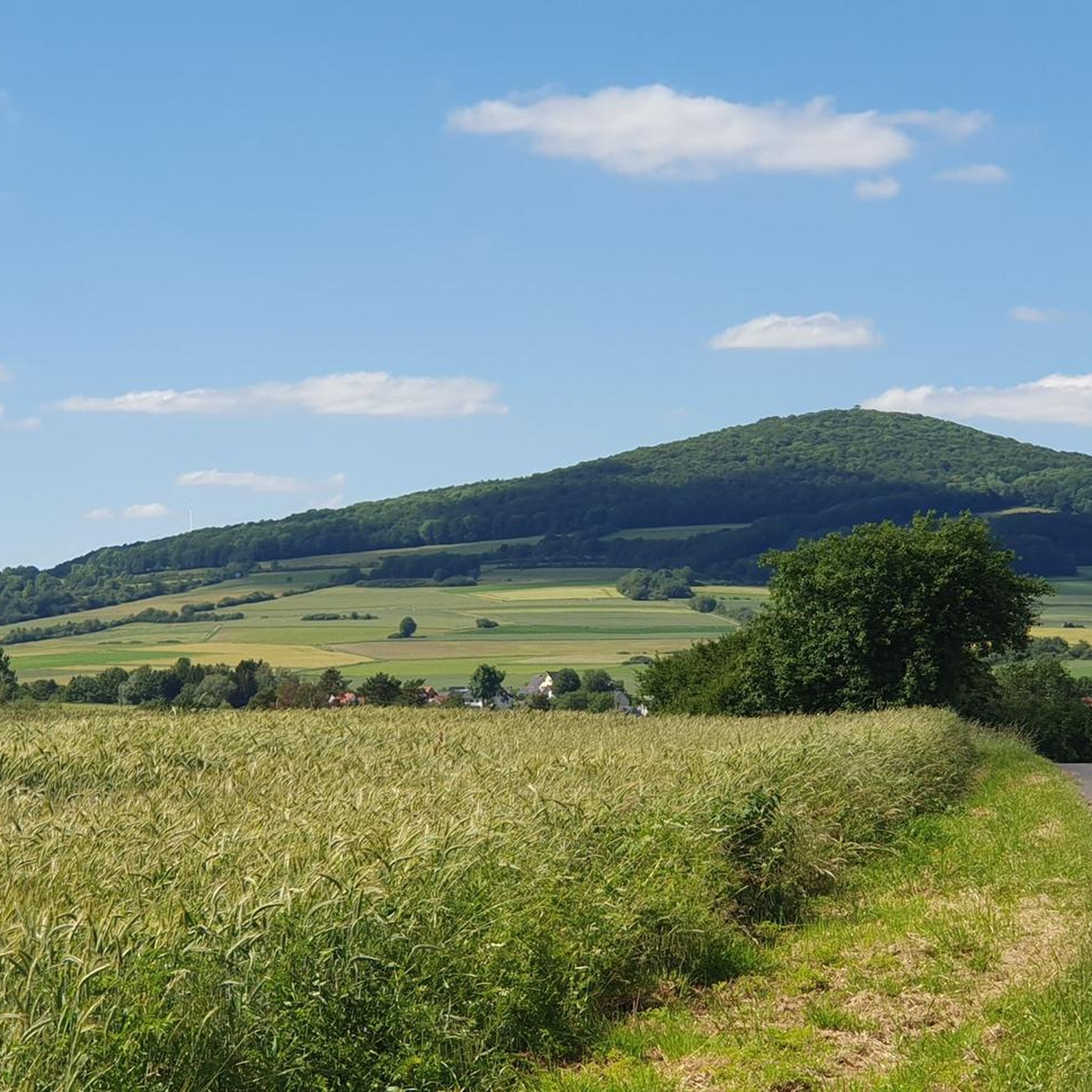
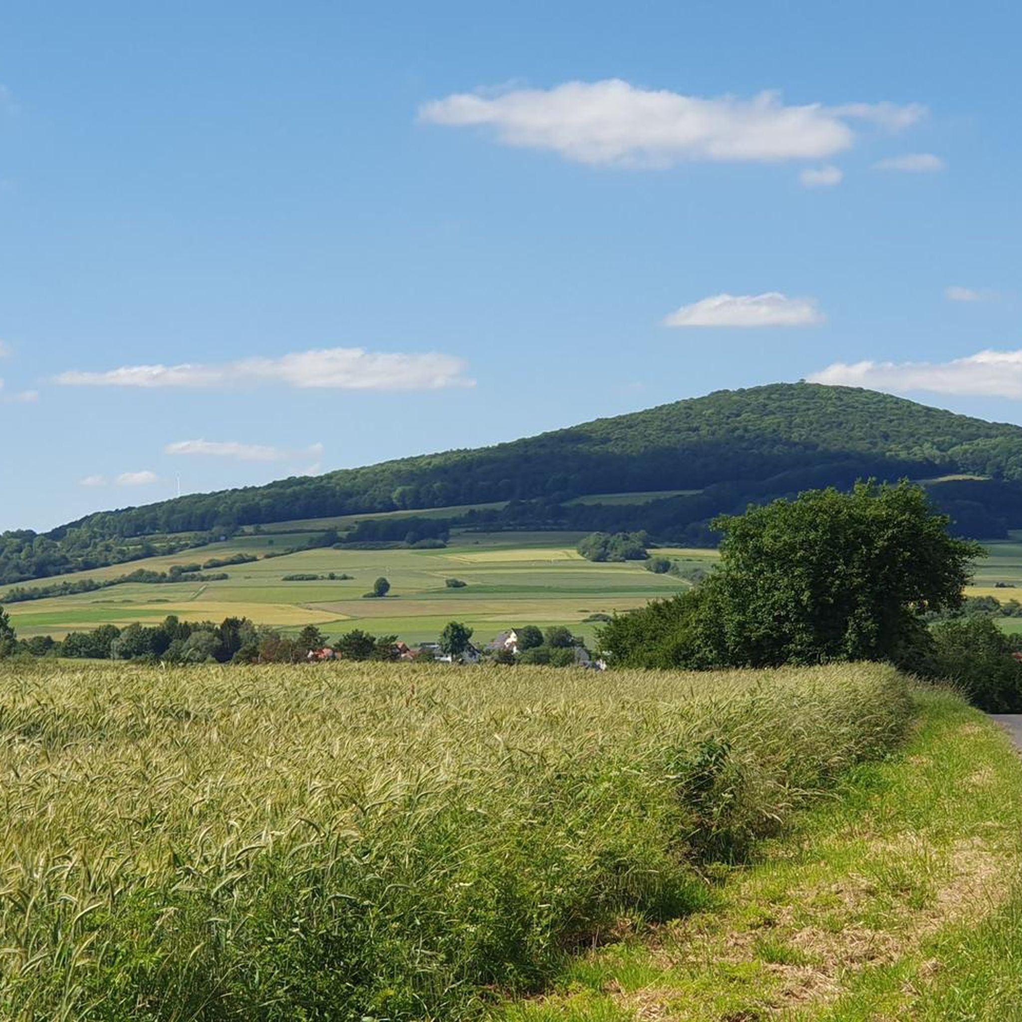
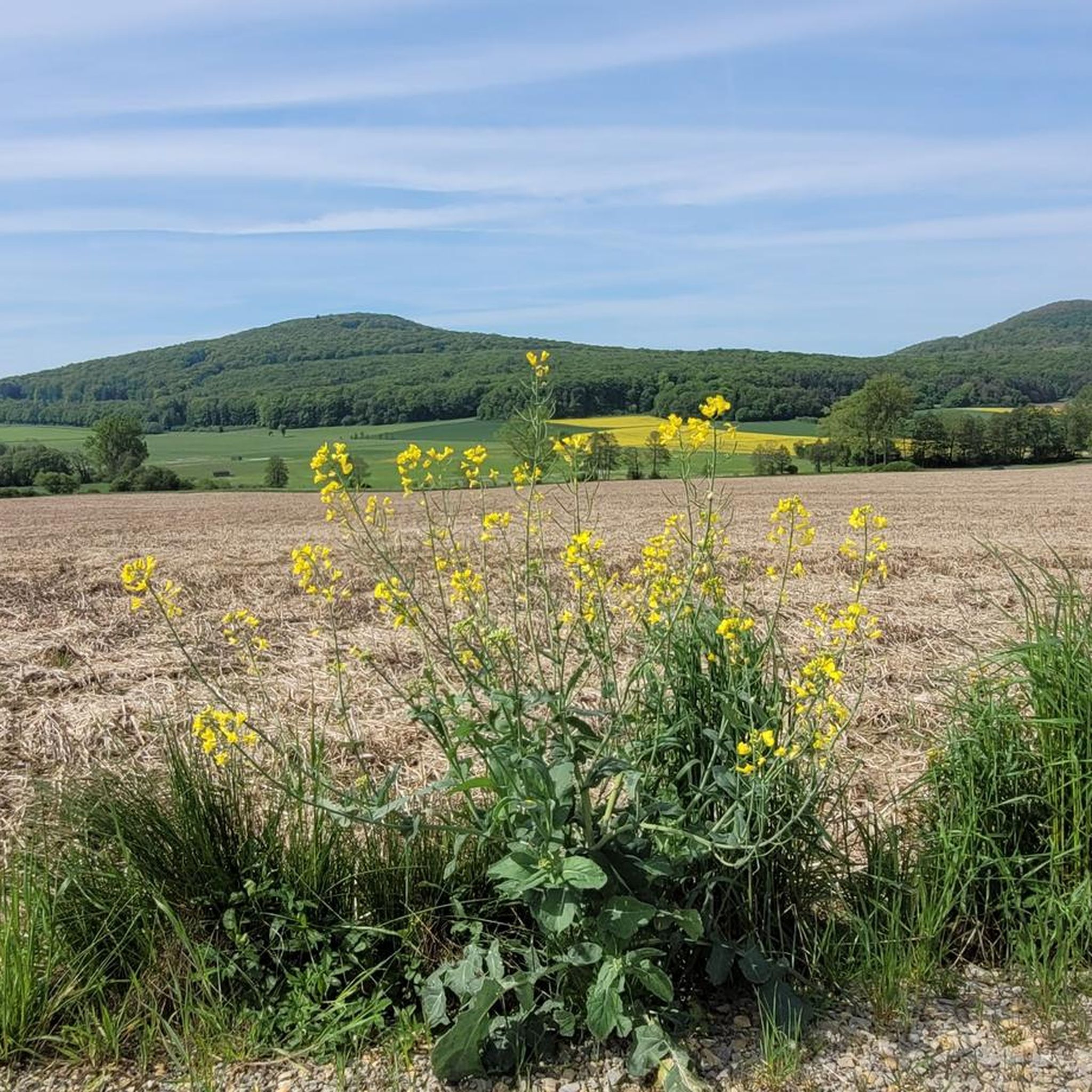
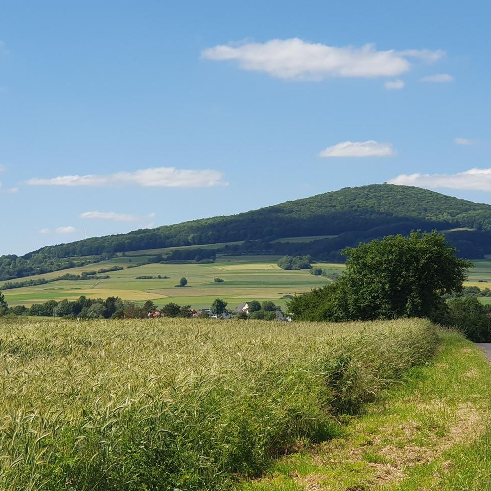
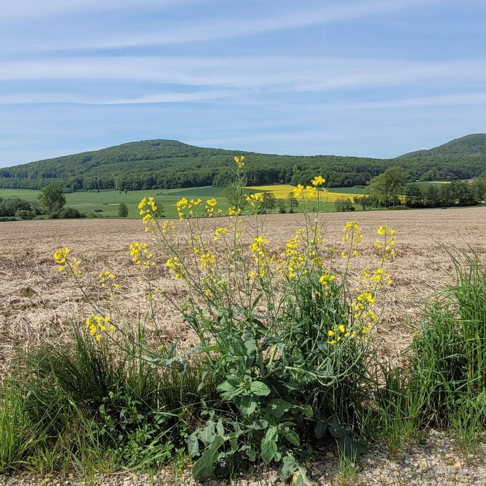
Gravel biking around Eiterfeld offers a diverse landscape situated between the Rhön and Vogelsberg low mountain ranges. The region is characterized by rolling hills, lush meadows, and dense forests, providing varied terrain for gravel cyclists. Paths include asphalt, paved sections, gravel, and unpaved natural surfaces, suitable for different skill levels. Unique geological features, such as the cone-shaped volcanic mountains of the Hessisches Kegelspiel, add to the distinctiveness of the routes.
Best gravel bike trails around Eiterfeld
- The most popular gravel…
Last updated: October 6, 2026
4.7
(6)
39
riders
53.8km
03:10
470m
470m
Hard gravel ride. Very good fitness required. Mostly paved surfaces. Suitable for all skill levels.
5.0
(3)
7
riders
33.0km
01:56
440m
440m
Moderate gravel ride. Good fitness required. Mostly paved surfaces. Suitable for all skill levels.

5.0
(4)
10
riders
25.3km
01:34
370m
370m
Moderate gravel ride. Good fitness required. Mostly paved surfaces. Suitable for all skill levels.
4
riders
25.2km
01:43
410m
410m
Moderate gravel ride. Good fitness required. Mostly paved surfaces. Suitable for all skill levels.
4.0
(1)
5
riders
27.6km
01:38
300m
300m
Moderate gravel ride. Good fitness required. Mostly paved surfaces. Suitable for all skill levels.
Get access to more routes and recommendations from other explorers.
Already have an account?
Our route recommendations are based on thousands of hikes, rides, and runs completed by other people on komoot.
Start today with a free account
Your next adventure awaits.
Tips from the Community

📍 Bechsteins Rast – intersection with six paths? Today I took a closer look at the signpost at Bechsteins Rast. Actually an inconspicuous spot in the middle of the forest – and yet at least five paths meet here. And then there's a sixth, but hidden path… 🤔 The clearest is the Homberg ↔ Bad Hersfeld axis: here runs the H34, the Hersfeld-Homberger-Höhenweg. To the north, it leads in the direction of Homberg, with the Gebrannte Kopf (493 m) waiting as the next prominent elevation. In the southern direction, the H34 leads over the Beiersrück (439 m) further to Bad Hersfeld. It gets more exciting with the remaining turn-offs: ↖ NNW leads downhill (several possibilities) to Obergeis. Towards → E, a forest path leads in the direction of Tann, above and parallel to the Hauksgrund. ↗ NNE, on the other hand, leads directly down into the Hauksgrund – probably not the shorter connection to Tann, but certainly the more scenic one. And then there's path No. 6: ↙ SSW branches off a path that is quite overgrown initially today. Those who are not deterred by this will find a quite passable old forest path further along, which leads in a curve downhill to Untergeis. Bechsteins Rast – four paths on the signpost, five (six) in the landscape. A small traffic junction in the middle of the forest, where you can choose all directions of the compass. 🥾🧭
0
0

Magnificently laid out shelter with a beautiful panoramic bench and a service station for bicycles.
0
0


Great view from the tower and really great that the view through the telescope costs nothing, just a shame that some idiot completely scratched the glass.
0
0

New since 2026, there is a service station directly at the refuge where you can carry out minor repairs on your bike, as well as finally a waste container.
1
0

Funny, from the allotment association
0
0

From the bridge, you have a good view of the nest of the Friedloser Storks 😊
1
0

good enough for a little break in between :)
0
0
Frequently Asked Questions
What kind of terrain can I expect on gravel bike trails around Eiterfeld?
Gravel biking around Eiterfeld offers a diverse landscape characterized by rolling hills, lush meadows, and dense forests. You'll find varied terrain, including paths along former railway lines like the Milseburgbahn, which provide smooth gradients and unique features such as the Milseburg Tunnel. Riverside paths along the Fulda River also offer flatter, scenic options, while the proximity to the Rhön and Vogelsberg low mountain ranges ensures a mix of challenging climbs and enjoyable descents.
Are there gravel bike routes suitable for beginners in Eiterfeld?
Yes, Eiterfeld offers routes suitable for various skill levels. While many routes are classified as moderate or difficult, there are options that beginners can enjoy. For instance, the Solztal Cycle Path – Fuldawiesen near Meckbach loop from Motzfeld is a moderate trail that takes you through open meadows, providing a good introduction to gravel biking in the region.
How many gravel bike trails are available in the Eiterfeld area?
There are over 50 gravel bike trails available around Eiterfeld, offering a wide range of distances and difficulties. The komoot community has explored these routes extensively, with more than 90 gravel bikers using komoot to discover the area's varied terrain.
What natural features or landmarks can I see while gravel biking near Eiterfeld?
Many gravel routes in Eiterfeld pass by notable natural features and landmarks. You might encounter impressive structures like the Klausmarbach Viaduct, or enjoy panoramic views from spots like the Öchsenberg Summit and Celtic Cross or the Soisberg Observation Tower. The region's dense forests and riverside paths along the Fulda also offer scenic natural beauty.
Are there challenging gravel bike routes for experienced riders?
Absolutely. Eiterfeld provides plenty of challenges for experienced gravel bikers. Routes like the View of Burghaun – Klausmarbach Viaduct loop from Hauneck are classified as difficult, featuring significant elevation changes and longer distances. These trails often include varied terrain and offer rewarding views.
Can I find circular gravel bike routes in Eiterfeld?
Yes, many of the gravel bike routes around Eiterfeld are designed as circular loops, allowing you to start and end at the same point. Examples include the Klausmarbach Viaduct – View of Burghaun loop from Steinbach, which offers varied terrain and scenic views, and the View of Buchfinkenland – Golfclub Hofgut Praforst loop from Hünfeld.
What do other gravel bikers enjoy the most about gravel biking in Eiterfeld?
The area is highly rated by the komoot community, with an average score of 4.6 stars from more than 20 reviews. Reviewers often praise the diverse landscape, which combines rolling hills, dense forests, and open meadows, as well as the unique experience of cycling along former railway lines and past historical viaducts.
Is Eiterfeld a good destination for family-friendly gravel biking?
While many routes feature moderate to difficult sections, the region's former railway lines, like parts of the Milseburgbahn, often provide smoother gradients suitable for families. When planning a family outing, look for routes with less elevation gain and shorter distances, or consider combining sections of riverside paths along the Fulda River for a gentler experience.
What is the best time of year for gravel biking in Eiterfeld?
The diverse landscape of Eiterfeld makes it enjoyable for gravel biking across multiple seasons. Spring and autumn offer pleasant temperatures and beautiful scenery with blooming flowers or vibrant fall foliage. Summer provides warm weather for longer rides, often with shaded sections through forests. Even in winter, some well-maintained paths, especially along former railway lines, can be accessible, though conditions may vary.
Are there options for parking or public transport access to gravel trails in Eiterfeld?
Eiterfeld and its surrounding towns typically offer parking facilities, especially near trailheads or local attractions, making it convenient for those arriving by car. For public transport, regional bus services connect Eiterfeld with larger towns, and some routes may have stops near cycling paths. It's advisable to check local transport schedules and bike carriage policies in advance.
Can I find cafes or pubs along gravel bike routes in Eiterfeld?
Yes, many routes in the Eiterfeld region pass through or near villages and towns where you can find cafes, pubs, and restaurants. These establishments offer opportunities to refuel and rest during your ride. Planning your route with komoot allows you to identify points of interest, including places to eat and drink, along your chosen trail.
Are there any specific long-distance cycling paths that incorporate gravel sections near Eiterfeld?
The region is known for its network of cycling paths, including sections of former railway lines like the Milseburgbahn, which are ideal for gravel biking. The Kreuzeiche on the Lullus Trail – Kreuzeiche Shelter loop from Bad Hersfeld is an example of a route that incorporates varied terrain, including potential gravel sections, as it traverses the landscape between the Rhön and Vogelsberg.
Most popular attractions around Eiterfeld

Get inspired with the komoot mobile app


Explore more
Browse the best Gravel rides in other regions.
