The best gravel rides around Sessenbach
4.6
(55)
326
riders
60
rides
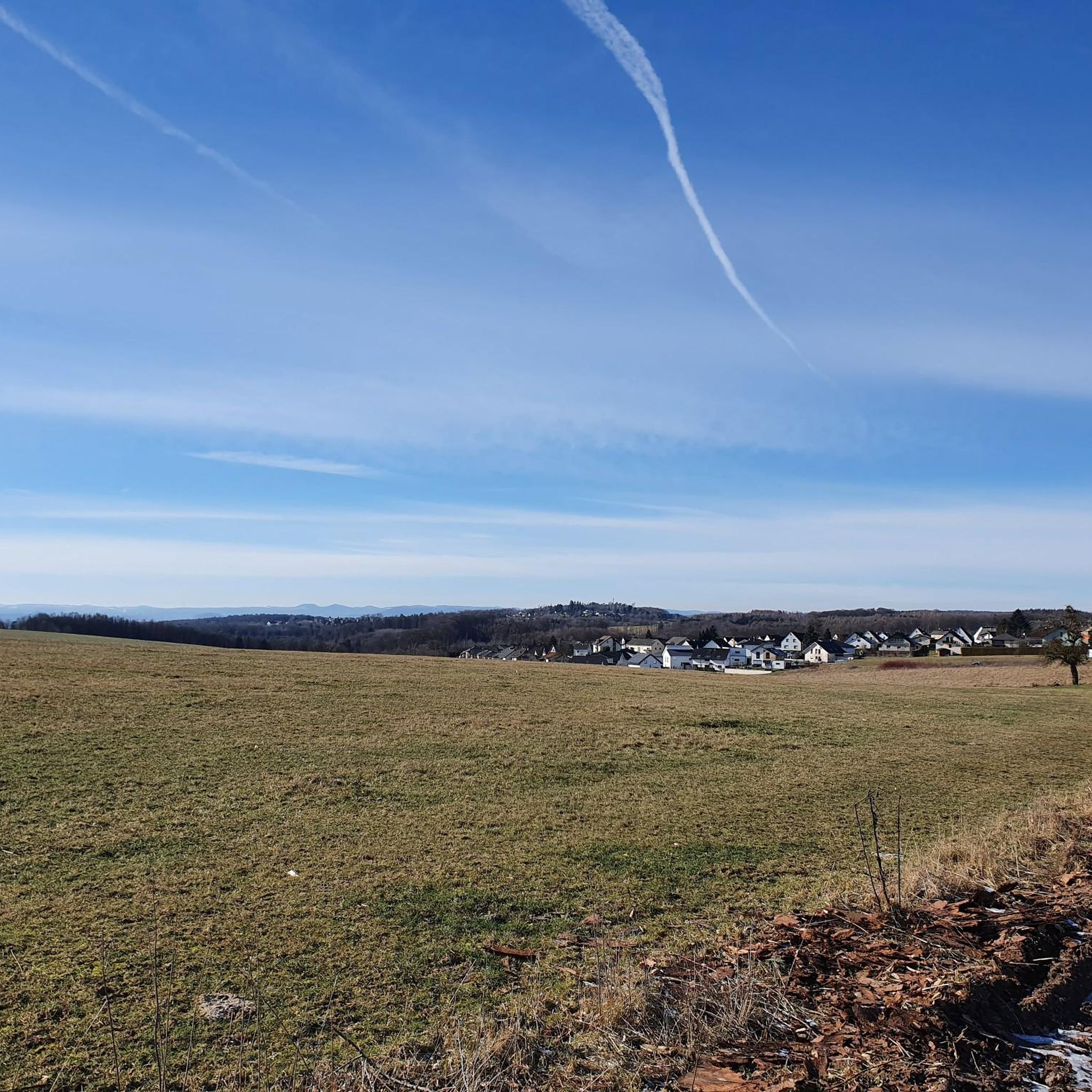
Gravel biking around Sessenbach offers varied terrain within Germany's Westerwald district, characterized by rolling hills, dense forests, and picturesque river courses. Situated on the edge of the Nassau Nature Park, the region provides a network of unpaved roads and trails suitable for gravel cycling. The landscape includes forest paths, country roads, and sections along river courses, providing diverse experiences for riders. This area is known for its mix of natural features and cultural landscapes, including the "Kannenbäckerland."
Best gravel bike…
Last updated: October 6, 2026
4.6
(8)
24
riders
26.0km
01:44
350m
350m
Hard gravel ride. Good fitness required. You may need to push your bike for some segments of this route.
4.5
(2)
13
riders
48.3km
02:54
480m
480m
Hard gravel ride. Very good fitness required. Mostly paved surfaces. Suitable for all skill levels.

5.0
(1)
14
riders
57.3km
03:26
590m
590m
Hard gravel ride. Very good fitness required. Mostly paved surfaces. Suitable for all skill levels.
5.0
(1)
10
riders
22.5km
01:33
410m
410m
Moderate gravel ride. Good fitness required. Mostly paved surfaces. Suitable for all skill levels.
10
riders
53.6km
03:35
920m
920m
Hard gravel ride. Very good fitness required. Mostly paved surfaces. Suitable for all skill levels.
Get access to more routes and recommendations from other explorers.
Already have an account?
Our route recommendations are based on thousands of hikes, rides, and runs completed by other people on komoot.
Start today with a free account
Your next adventure awaits.
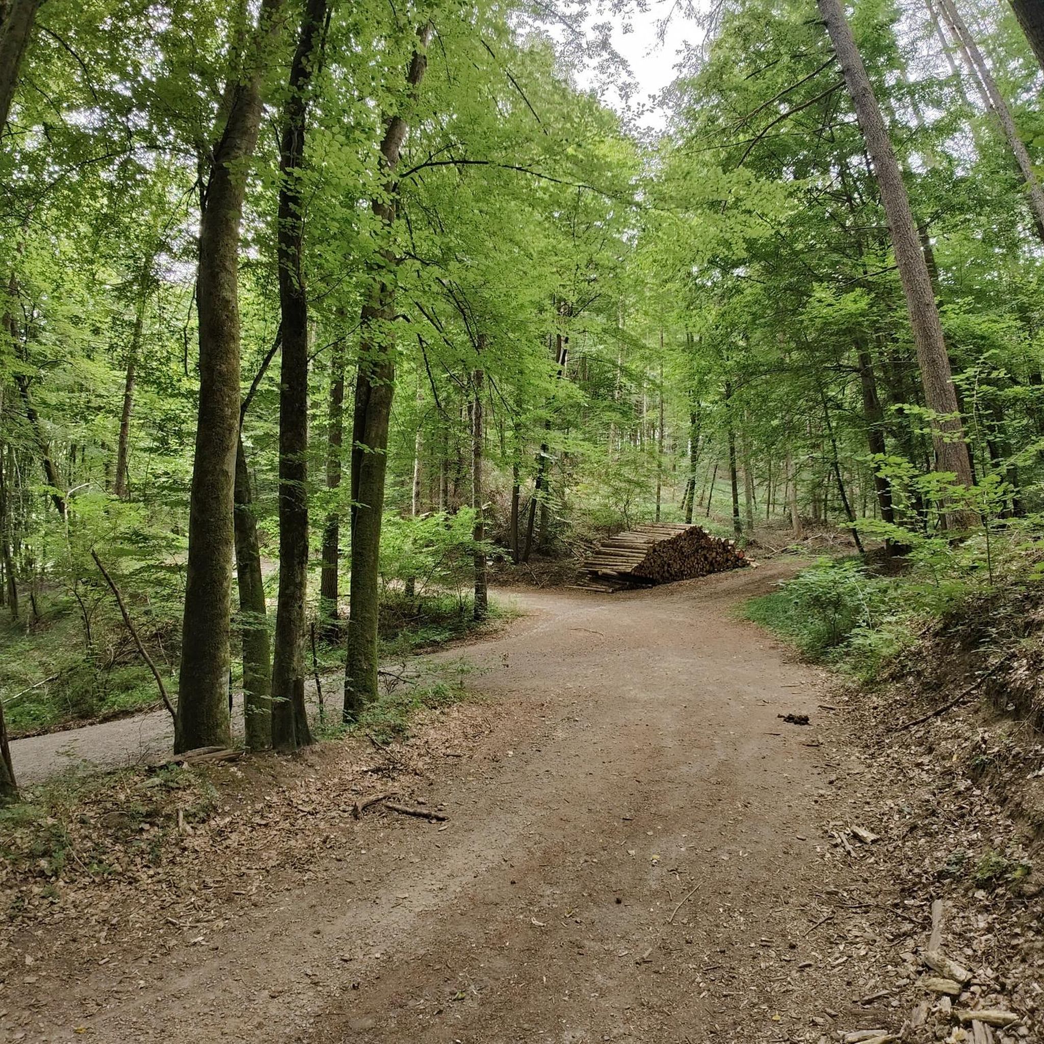
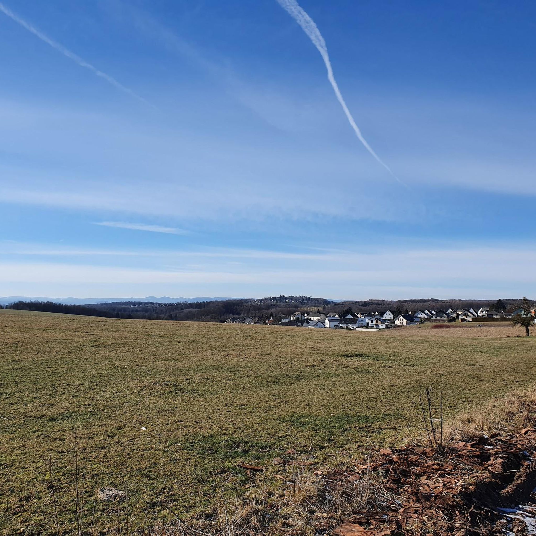
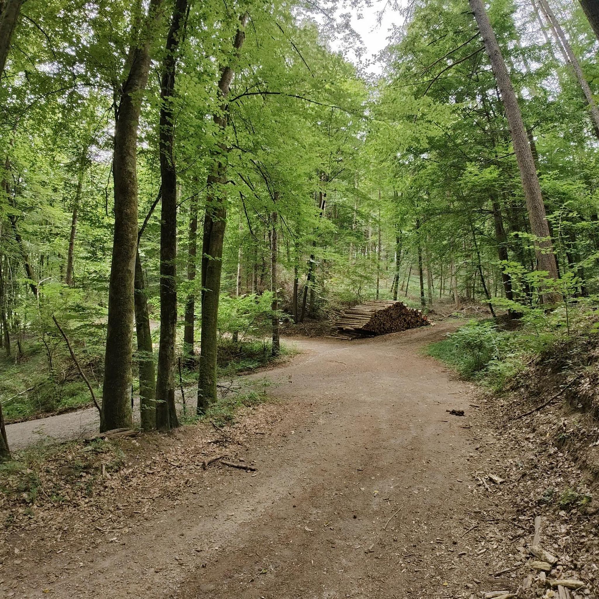
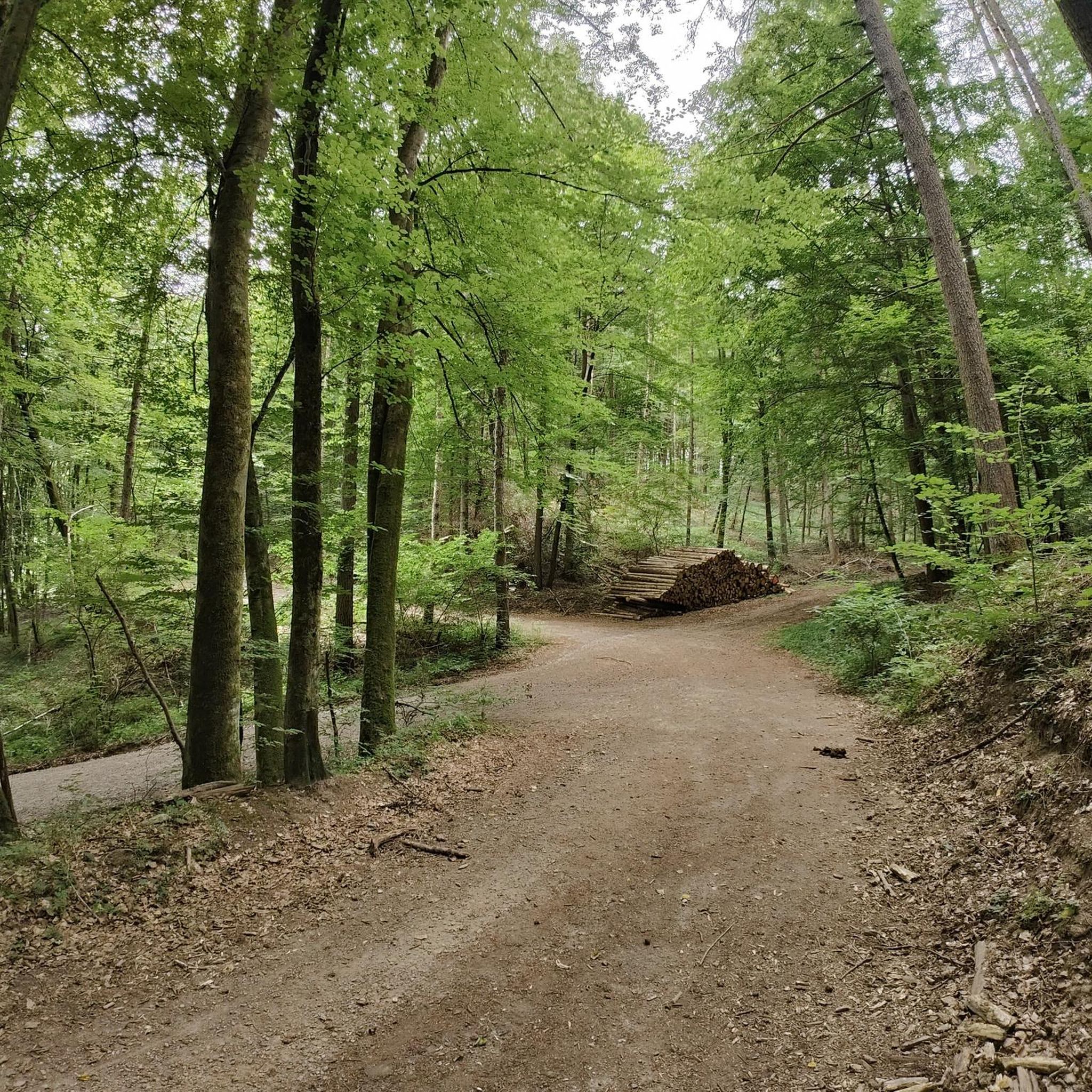
Tips from the Community

Beautiful view and an excellent environment to be active in nature.
0
0

Mega👌🏼📸 impressive panoramic view towards the Koblenz side with the German Corner & the confluence of the Moselle & Rhine 🌊💙. In the back & above then lies the impressive Ehrenbreitstein Fortress 🏰🛡⚔️. 👌🏼It never gets boring here, there is always something going on/something to see.
4
0


Thiel's Hut, just before the Alarmstange. A great rest stop with a beautiful view.
0
0
Driving from Dreifelden towards Rothenbach, there's a nice rest stop with a bench and trash can. Great view of the Dreifelder Weiher pond.
0
0

beautifully situated campsite with lake view
1
0

From this spot you have a beautiful view of the Deutsches Eck
0
0

Frequently Asked Questions
How many gravel bike trails are available around Sessenbach?
There are over 80 gravel bike routes around Sessenbach, offering a wide range of experiences for different skill levels. The komoot community has explored these trails over 275 times, giving them an average rating of 4.5 stars.
What kind of terrain can I expect on gravel bike trails in Sessenbach?
Gravel biking around Sessenbach features a diverse landscape of rolling hills, dense forests, and picturesque river courses. You'll encounter a mix of forest paths, country roads, gravel, dirt tracks, meadow paths, and some asphalt sections. This variety provides both challenging climbs and enjoyable descents.
Are there any family-friendly gravel bike routes in Sessenbach?
While many routes in Sessenbach involve varied terrain and elevation changes, there are options suitable for families. The region offers paths that can accommodate different ability levels. For a moderate option, consider the Flürchen – Flürchen Conservation Area loop from Ransbach-Baumbach, which is 13.9 miles (22.5 km) long and offers a mix of terrain.
What are some notable landmarks or viewpoints I can see while gravel biking in Sessenbach?
The Sessenbach area is rich in natural beauty and historical sites. You can find stunning views like the View over the Brexbach Valley from Teufelsberg or visit the Köppel Observation Tower for panoramic vistas. The region also features the Landshuberweiher lake, which is part of a popular gravel route.
Are there any long-distance gravel routes for experienced riders?
Yes, for experienced riders looking for a longer challenge, the View of Deutsches Eck – Mühlental Path loop from Höhr-Grenzhausen is a 33.0 miles (53.1 km) difficult trail that leads through varied landscapes and typically takes over 4 hours to complete. This route offers significant elevation changes suitable for advanced gravel bikers.
What is the best time of year for gravel biking in Sessenbach?
The Westerwald region, including Sessenbach, is generally suitable for gravel biking across multiple seasons. Spring and autumn offer pleasant temperatures and vibrant scenery, while summer provides longer daylight hours. The varied terrain means conditions can change, so checking local weather forecasts is always recommended.
Where can I find parking for gravel bike trails in Sessenbach?
Many gravel routes in the Sessenbach area start from towns like Höhr-Grenzhausen or Ransbach-Baumbach, where public parking options are typically available. For example, routes like the Landshuberweiher – Flürchen loop begin near Höhr-Grenzhausen, providing convenient access points.
Are there any circular gravel routes available?
Yes, many of the gravel bike trails around Sessenbach are designed as loops, allowing you to start and end at the same point. Examples include the Flürchen – Flürchen Conservation Area loop from Ransbach-Baumbach and the Grenzau Railway Station – Flürchen loop from Alsbach, both offering convenient circular journeys.
What is the difficulty range of gravel trails in Sessenbach?
The gravel trails in Sessenbach cater to a range of abilities. You'll find moderate routes, such as the Sayn Riverbank – Adenrother Pond loop from Nauort, which is 14.7 miles (23.7 km) long. There are also more difficult options with significant elevation gains, like the Landshuberweiher – Flürchen loop from Höhr-Grenzhausen, which is 16.1 miles (26.0 km) and features over 340 meters of ascent.
Are there cafes or pubs near the gravel bike trails in Sessenbach?
Sessenbach is located within the 'Kannenbäckerland' region, known for its charming villages. While specific cafes directly on trails are not listed, starting points for many routes, such as Höhr-Grenzhausen and Ransbach-Baumbach, are towns where you can typically find local establishments for refreshments before or after your ride.
Can I reach the gravel trails in Sessenbach using public transport?
The Westerwald region has some public transport connections. Routes often start from towns like Höhr-Grenzhausen or Ransbach-Baumbach, which may have bus or train access. It's advisable to check local public transport schedules and bike carriage policies for specific routes and starting points.
What do other gravel bikers enjoy most about Sessenbach?
The komoot community highly rates the gravel biking experience in Sessenbach, with an average score of 4.5 stars. Riders frequently praise the region's varied terrain, which includes a good mix of forest paths and open country roads, as well as the scenic beauty of the rolling hills and dense forests.
Most popular routes around Sessenbach
Most popular attractions around Sessenbach

Get inspired with the komoot mobile app


Explore more
Browse the best Gravel rides in other regions.
