The best gravel rides around Staudt
4.5
(67)
331
riders
110
rides
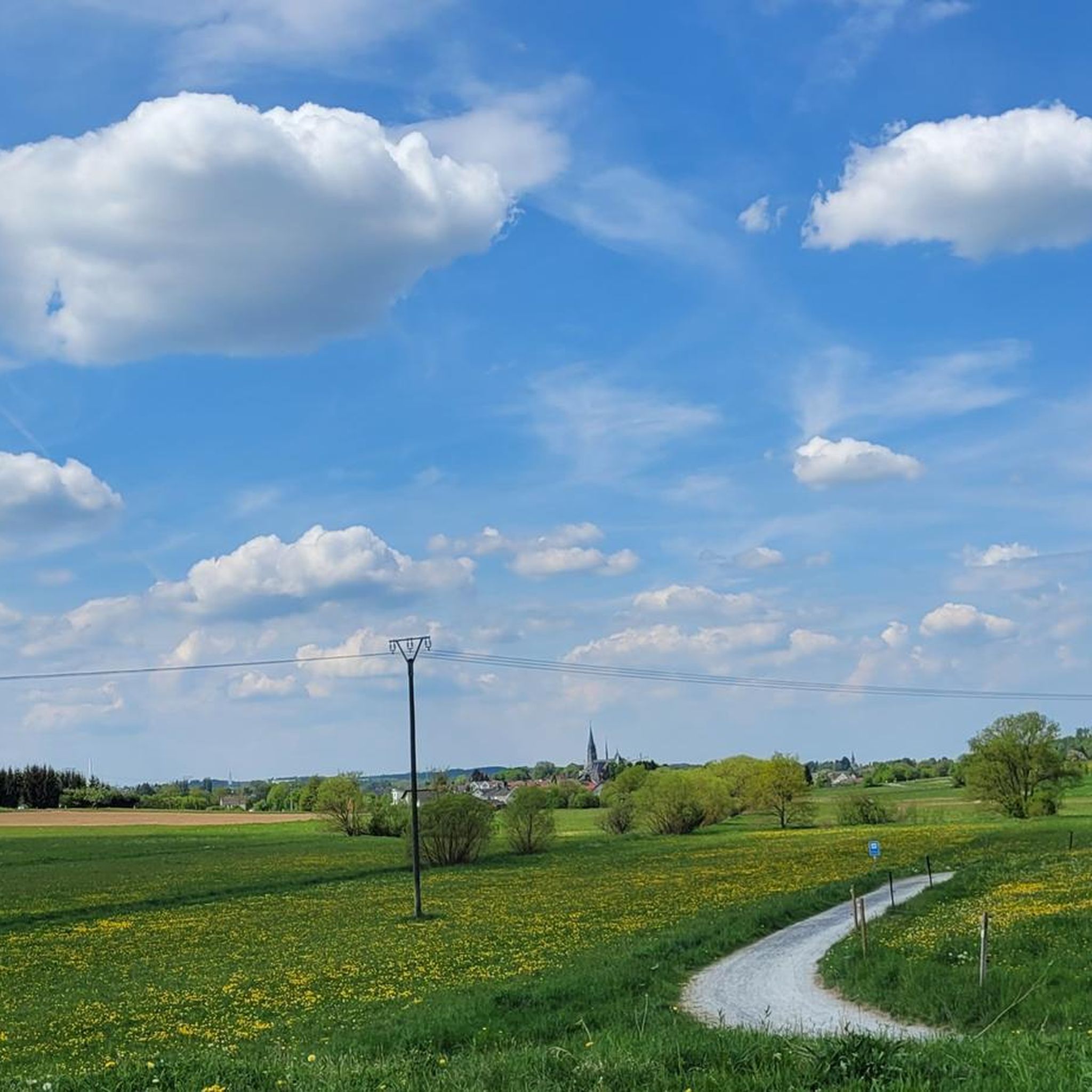
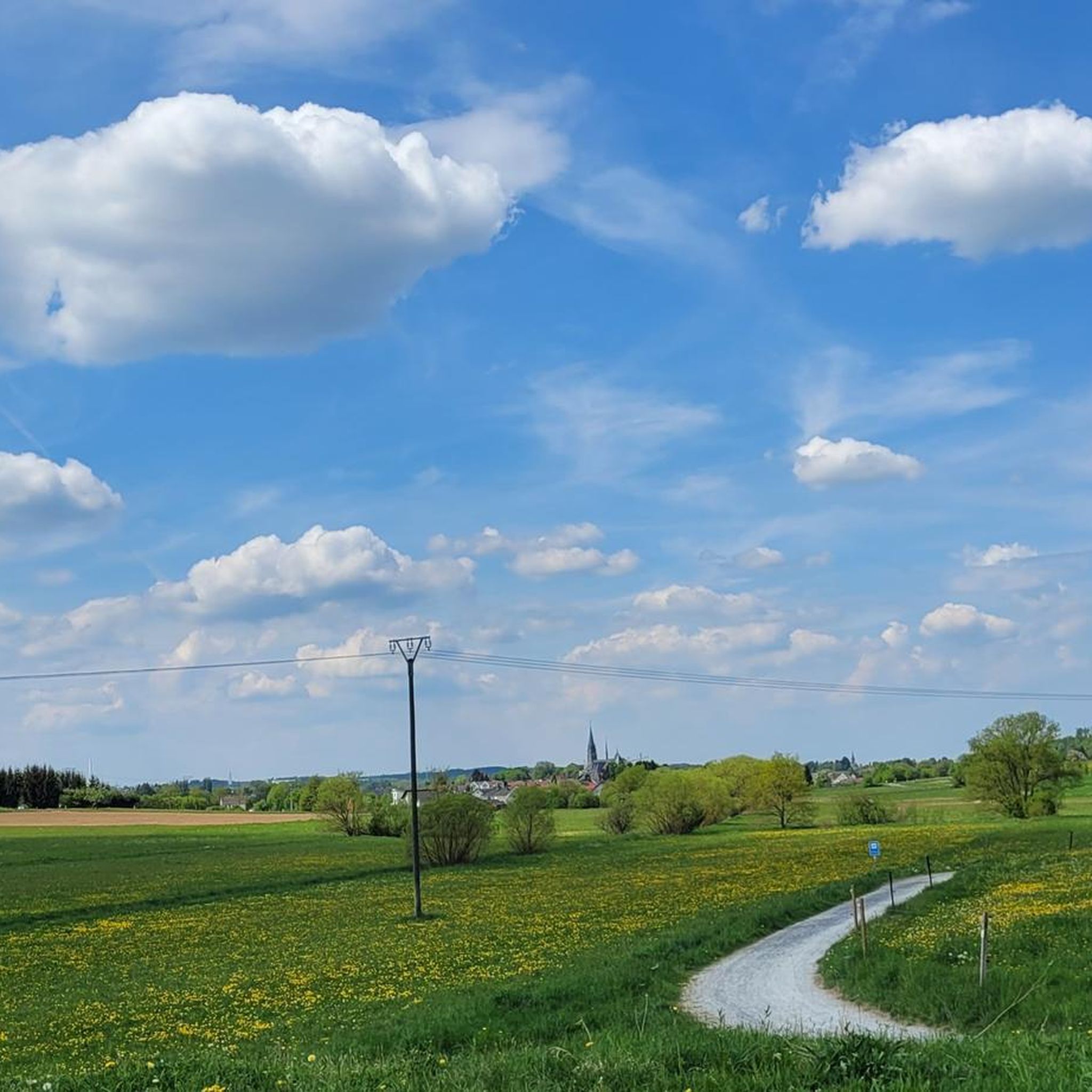
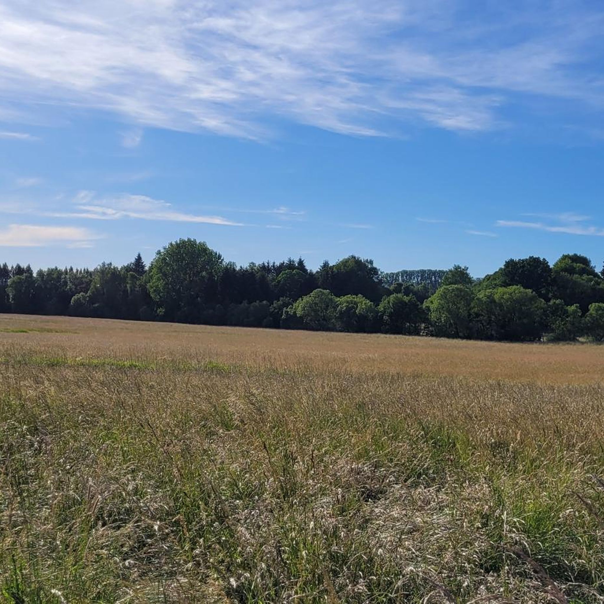
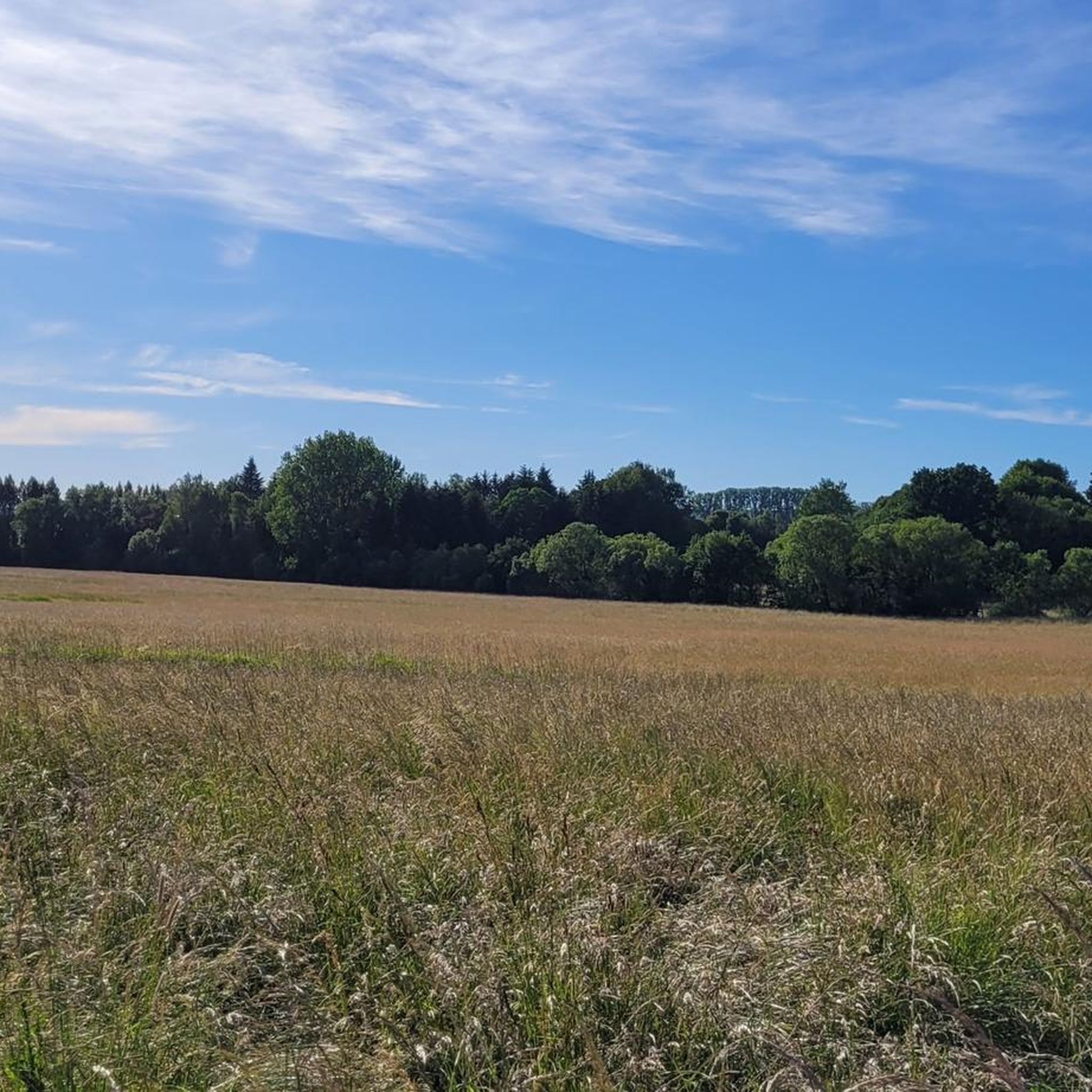
Gravel biking around Staudt offers a diverse landscape characterized by rolling hills, dense forests, and open agricultural areas, providing varied terrain for cyclists. The region features significant elevation changes, with many routes including substantial climbs and descents. Gravel bike trails around Staudt often traverse a mix of compacted gravel paths, forest roads, and quieter paved sections, connecting natural landmarks and viewpoints. This area is part of the Westerwald, known for its undulating topography and extensive woodlands.
Best gravel bike trails…
Last updated: July 16, 2026
4.0
(4)
22
riders
29.5km
02:06
370m
360m
Moderate gravel ride. Good fitness required. Mostly paved surfaces. Suitable for all skill levels.
5.0
(1)
8
riders
44.8km
03:13
670m
670m
Hard gravel ride. Very good fitness required. Mostly paved surfaces. Suitable for all skill levels.

Sign up for free
5.0
(2)
14
riders
34.2km
02:43
610m
610m
Hard gravel ride. Very good fitness required. Mostly paved surfaces. Suitable for all skill levels.
4.0
(2)
9
riders
21.5km
01:37
350m
350m
Moderate gravel ride. Good fitness required. Mostly paved surfaces. Suitable for all skill levels.
3.7
(3)
10
riders
47.2km
02:52
530m
530m
Hard gravel ride. Very good fitness required. Mostly paved surfaces. Suitable for all skill levels.
Get access to more routes and recommendations from other explorers.
Sign up for free
Already have an account?
Our route recommendations are based on thousands of hikes, rides, and runs completed by other people on komoot.
Start today with a free account
Your next adventure awaits.
Login or Signup

Tips from the Community

Here the water flows over moss-covered stones in several stages, forming a series of beautiful, natural cascades depending on the water level.
4
0
The Gelbachtal Trail near Witzenborn is a varied and natural section of the route, which particularly impresses with its combination of quiet forest paths, moderate climbs, and impressive views.
3
0


Thiel's Hut, just before the Alarmstange. A great rest stop with a beautiful view.
0
0

Landshuber Weiher with water lilies
0
0

Wirzenborn pilgrimage church with separate restrooms! A guesthouse with a motorcycle museum invites you to linger!
0
0

The path runs along the Gelbach stream in a natural setting and provides shade in the summer. It's interesting for hikers, cyclists, and mountain bikers.
2
0
So beautifully situated and great paths
1
0
Frequently Asked Questions
How many gravel bike trails are available around Staudt?
The Staudt region offers a wide selection of nearly 150 gravel bike trails. These routes traverse rolling hills, dense forests, and open agricultural areas, providing diverse terrain for cyclists.
What is the typical difficulty level of gravel bike trails in Staudt?
Gravel bike trails around Staudt feature significant elevation changes, with many routes including substantial climbs and descents. The majority of routes are rated as moderate (68 tours) or difficult (74 tours), making them suitable for experienced riders. There are also 5 easier paths available for those seeking a less strenuous ride.
Are there any family-friendly gravel bike trails in Staudt?
While many routes in Staudt are challenging, there are 5 easier gravel paths that might be more suitable for families or beginners. These routes typically feature less elevation gain and shorter distances, allowing for a more relaxed experience. Look for routes marked as 'easy' on komoot.
What is the average length and duration of gravel bike trails in the Staudt area?
The gravel bike trails around Staudt vary significantly in length and duration. For example, the View of Malberg – View of Malberg loop from Goldhausen is a moderate 24.5 km route that takes about 1 hour 37 minutes, while the more challenging Flürchen – View of Köppelturm loop from Goldhausen covers 47.6 km and typically takes around 3 hours 28 minutes.
When is the best time of year to go gravel biking in Staudt?
The Westerwald region, where Staudt is located, is beautiful throughout the year. Spring and autumn offer pleasant temperatures and vibrant scenery, making them ideal for gravel biking. Summer can be warm, but the extensive forests provide welcome shade. Some trails may be accessible in winter, but conditions can be challenging due to snow or ice, so always check local weather and trail reports.
What kind of terrain can I expect on the gravel bike trails around Staudt?
The gravel bike trails around Staudt traverse a diverse landscape. You can expect a mix of compacted gravel paths, forest roads, and quieter paved sections. The region is characterized by rolling hills, dense woodlands, and open agricultural areas, providing varied surfaces and scenic views.
What do other gravel bikers enjoy most about the trails in Staudt?
The gravel biking routes in Staudt are highly rated by the komoot community, with an average score of 4.5 stars from over 100 reviews. Reviewers often praise the diverse terrain, the challenging climbs, and the expansive views, particularly those found on routes leading to observation points like the Köppel Tower.
Are there any circular gravel bike routes available in Staudt?
Yes, many of the gravel bike routes around Staudt are designed as circular loops, allowing you to start and end at the same point. Examples include the View of Malberg – View of Malberg loop from Goldhausen and the Flürchen – View of Köppelturm loop from Goldhausen, which offer convenient round trips.
What interesting landmarks or attractions can I see along the gravel bike trails in Staudt?
The Staudt region is rich in historical and natural attractions. Along your rides, you might encounter impressive structures like Montabaur Castle or Molsberg Castle. For nature lovers, there are scenic gorges such as the Gelbach Valley near Bladenheim or the Fox Ravine in the Westerwald, offering beautiful natural landscapes.
Where do the gravel bike trails around Staudt typically start?
Many gravel bike trails in the Staudt region originate from nearby towns like Montabaur or Goldhausen. These locations often serve as convenient starting points, providing access to a variety of routes that explore the surrounding Westerwald landscape.
Are there any viewpoints or scenic spots along the gravel trails in Staudt?
Absolutely. The undulating topography of the Westerwald ensures numerous viewpoints. Routes often lead to elevated spots or observation towers, such as the Köppel Tower, offering expansive vistas of the surrounding countryside. Many trails are specifically designed to connect natural landmarks and scenic overlooks.
Most popular attractions around Staudt

Get inspired with the komoot mobile app


Explore more
Browse the best Gravel rides in other regions.
