The best gravel rides around Lautert
4.4
(29)
91
riders
23
rides
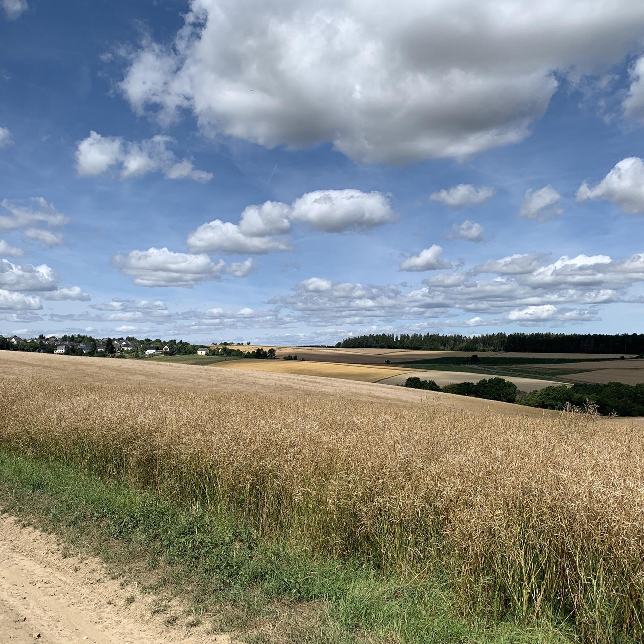
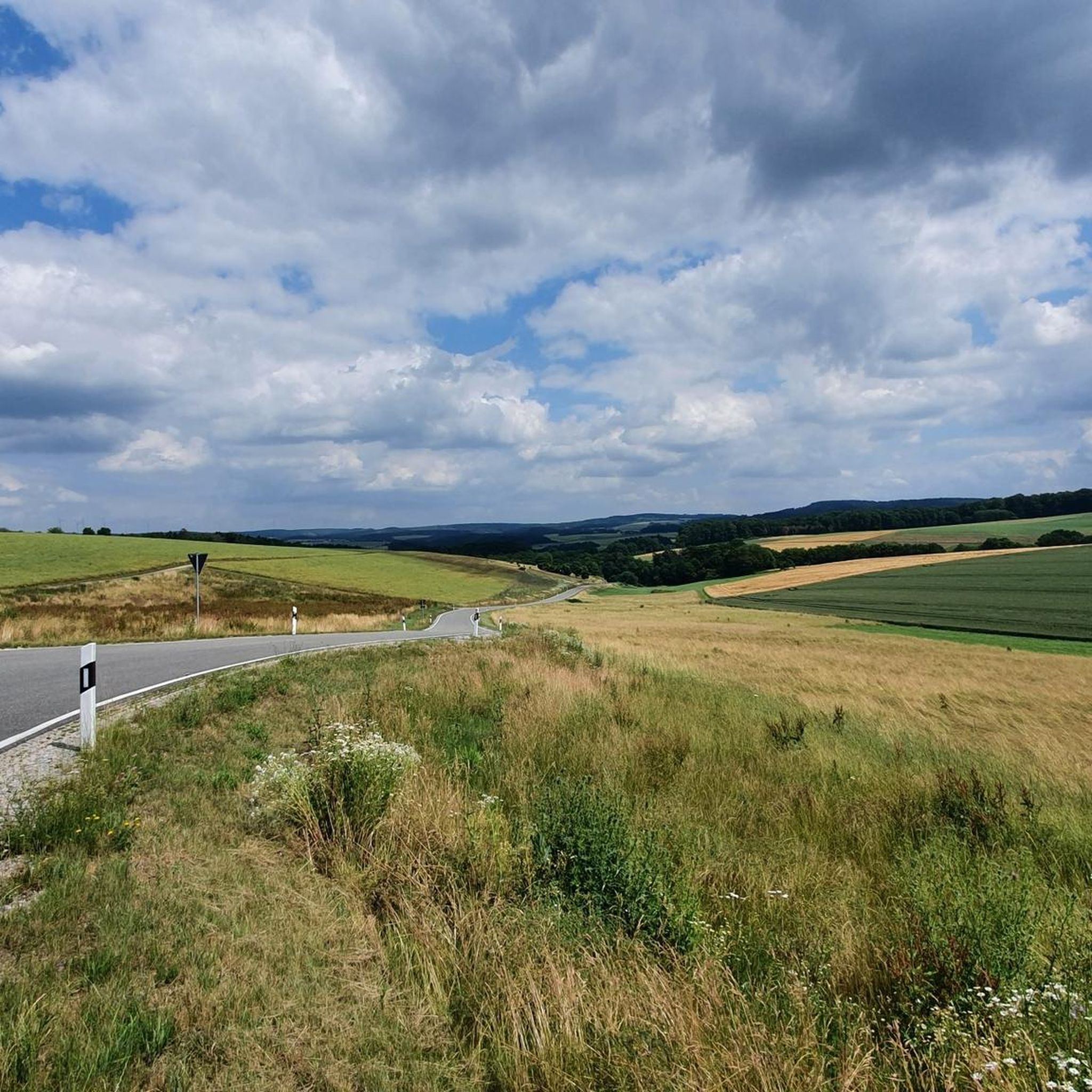
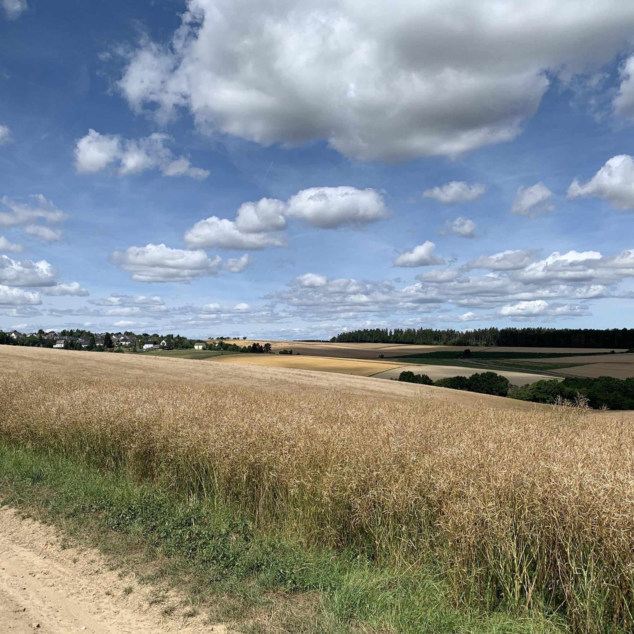
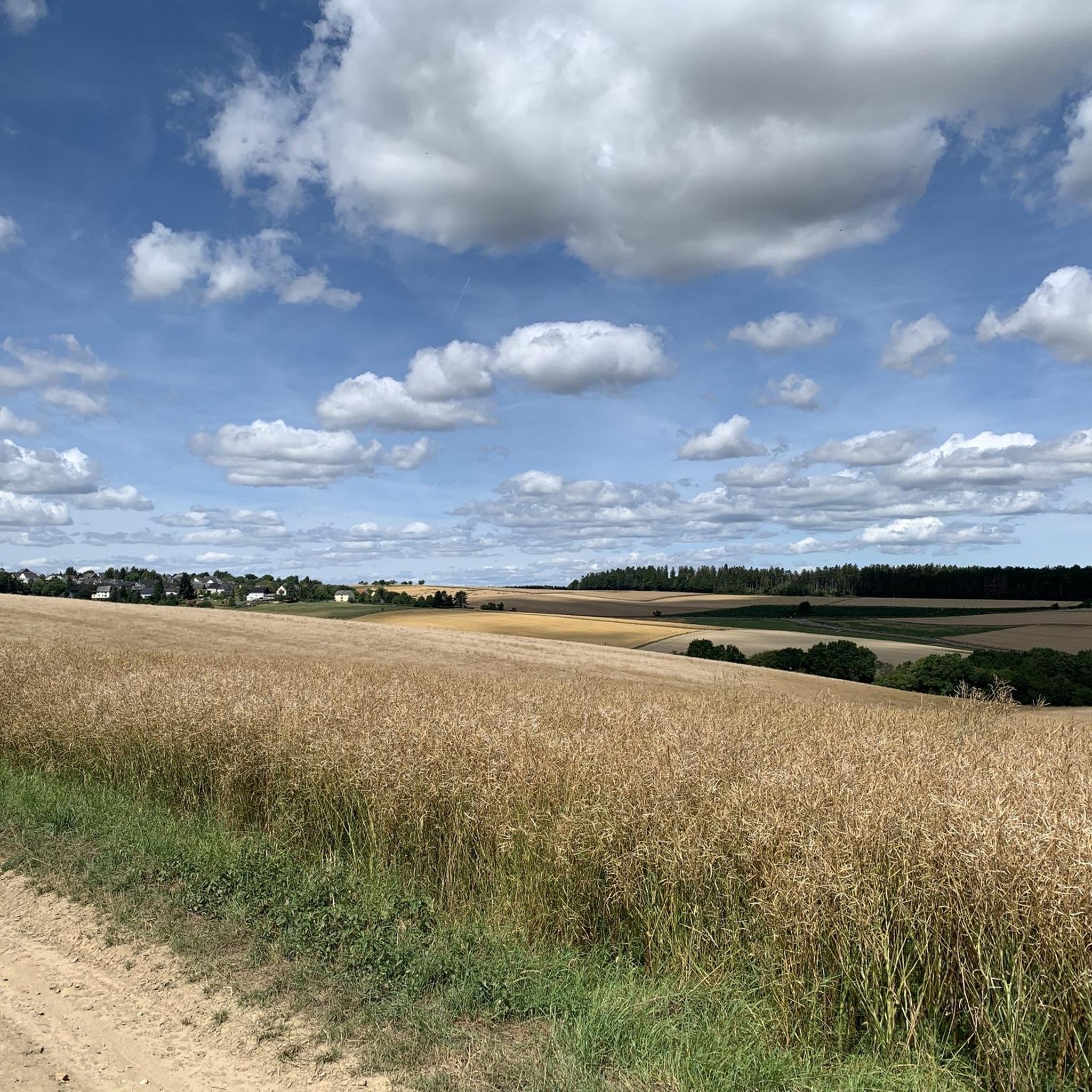
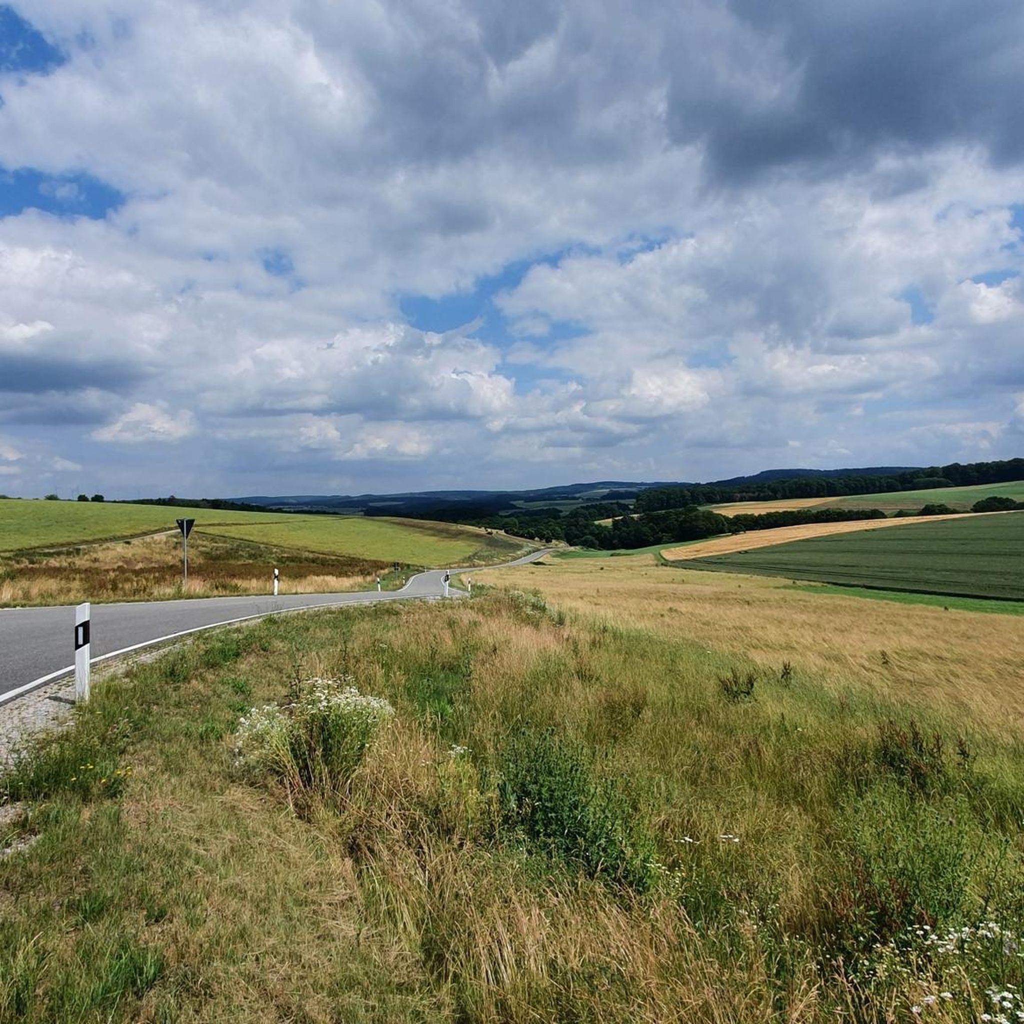
Gravel biking around Lautert offers diverse terrain within Germany's Rhein-Lahn district, situated at the foot of the Taunus Mountains. The region features rolling hills, providing varied gradients suitable for gravel cycling. Riders can expect a network of gravel, forest, and meadow paths that traverse the landscape, offering scenic views and engaging surfaces.
Best gravel bike trails around Lautert
- The most popular gravel bike trail is Hauserbachsee – View of Hasenbach Valley loop from Ehr, a 21.8 miles (35.0 km)…
Last updated: July 16, 2026
4.7
(9)
23
riders
35.0km
02:16
420m
420m
Hard gravel ride. Good fitness required. You may need to push your bike for some segments of this route.
4.7
(6)
20
riders
Moderate gravel ride. Good fitness required. Mostly paved surfaces. Suitable for all skill levels.

Sign up for free
3.7
(3)
12
riders
Hard gravel ride. Very good fitness required. Mostly paved surfaces. Suitable for all skill levels.
4.5
(6)
16
riders
Moderate gravel ride. Good fitness required. Mostly paved surfaces. Suitable for all skill levels.
4.0
(1)
4
riders
Hard gravel ride. Very good fitness required. Mostly paved surfaces. Suitable for all skill levels.
Get access to more routes and recommendations from other explorers.
Sign up for free
Already have an account?
Our route recommendations are based on thousands of hikes, rides, and runs completed by other people on komoot.
Start today with a free account
Your next adventure awaits.
Login or Signup
Tips from the Community

Nice seating under a beautiful large tree
0
0

cozy corner and beautiful view
0
0

The old stone bridge is worth seeing, but the church is unfortunately closed.
0
0

New, clean rest area. Great views of Katzenelnbogen and the surrounding area, as well as the TGaunus up to the Feldberg (on a clear day).
0
1
A beautiful rest area with breathtaking views over the Einrich and far into the Taunus Mountains. Katzenelnbogen and the small villages lie at your feet.
0
0
Wonderful view of Katzenelnbogen and parts of the "Einrich".
0
1

The Hauserbachsee, created in 1970 by building a dam, is a reservoir near Miehlen that is about 500 meters long and over 8 meters deep. Surrounded by lovingly landscaped paths, meadows and seating areas, it offers visitors opportunities for relaxation, while swimming and sailing on the lake are prohibited to protect the ecological balance.
0
0
Frequently Asked Questions
What kind of terrain can I expect on gravel bike trails around Lautert?
The region around Lautert, nestled at the foot of the Taunus Mountains, offers a diverse mix of terrain. You'll primarily encounter rolling hills, extensive forest paths, and open meadow trails. This provides varied gradients and picturesque views, making for engaging gravel rides without extreme mountain challenges.
How many gravel bike routes are available in the Lautert area?
There are over 25 gravel bike routes available around Lautert, catering to various skill levels. The komoot community has explored these trails extensively, with more than 90 gravel bikers having used komoot to discover the area's varied terrain.
Are there routes suitable for beginners or those looking for an easier ride?
Yes, while many routes are moderate to difficult, there are options for less experienced riders. For example, the route Hauserbachsee – View of Hasenbach Valley loop from Holzhausen an der Haide is rated as moderate and covers 23.1 km with a manageable elevation gain of around 260 meters.
What are some challenging gravel bike routes near Lautert?
For those seeking a challenge, routes like Hauserbachsee – View of Hasenbach Valley loop from Ehr offer a difficult experience. This 35 km trail features over 425 meters of elevation gain, providing a demanding ride through the local landscape.
What are the best times of year for gravel biking in Lautert?
The region shines in lush green during spring and summer, making these seasons ideal for gravel biking. The mild weather and vibrant natural scenery enhance the riding experience. Autumn also offers beautiful foliage, while winter conditions might require checking local weather and trail status due to potential snow or ice.
Are there any scenic viewpoints or natural attractions along the gravel trails?
Absolutely! The region is known for its natural beauty. You can find stunning views like the Wackenberghütte Viewpoint: View of St. Goar, Rheinfels Castle, and the Rhine Valley. The nearby Rhine Gorge, a UNESCO World Heritage site, also offers dramatic scenery with its steep slopes and the winding river, though specific gravel trails might not run directly alongside it.
Can I find historical landmarks or castles near the gravel biking routes?
Yes, the area is rich in history. While not directly on every gravel trail, significant historical sites like Rheinfels Castle, the largest surviving castle ruin on the Rhine, are nearby. You can also find viewpoints offering glimpses of other castles, such as View of Katz Castle.
Are there any circular gravel bike routes around Lautert?
Many of the gravel routes in Lautert are designed as loops, allowing you to start and end in the same location. An example is the View from Marienfels – Sauerborn Spring in Marienfels loop from Niederwallmenach, a moderate 40 km path that offers varied terrain through hills and valleys.
What do other komoot users say about gravel biking in Lautert?
The gravel biking routes in Lautert are highly rated by the komoot community, with an average score of 4.4 stars from over 20 reviews. Users often praise the varied terrain, the extensive network of forest and meadow paths, and the scenic views offered by the rolling hills.
Is Lautert well-connected by public transport for cyclists?
While Lautert is an idyllic village, public transport options might be limited. It's advisable to check local bus schedules or consider driving to a starting point, especially if you're bringing your bike. The region is generally accessible by car, with parking often available in or near villages.
Are there places to eat or drink along the gravel bike routes?
Lautert and its surrounding villages offer some local gastronomy. While specific cafes or pubs might not be directly on every trail, planning your route to pass through a village like Lautert itself, with its charming half-timbered houses, can provide opportunities for a refreshment stop.
What is the typical length of gravel bike routes in this area?
The gravel bike routes around Lautert vary in length, but many fall within the 20 to 45 km range. For instance, the Hindenburghöhe Viewpoint – View of Burg Maus loop from Oberwallmenach is a longer, more challenging option at 44.1 km.
Most popular attractions around Lautert

Get inspired with the komoot mobile app


Explore more
Browse the best Gravel rides in other regions.
