The best gravel rides around Weichering
4.6
(437)
2,424
riders
182
rides
Gravel biking around Weichering is characterized by its relatively flat terrain, often following the Danube River and its embankments. The region features a network of paths that traverse open landscapes, agricultural areas, and occasional wooded sections. Elevation gains are generally low, making many routes accessible for various skill levels.
Best gravel bike trails around Weichering
- The most popular gravel bike trail is Gravel Path Along the Danube – Danube Embankment Path loop from Süd, a 20.1 miles (32.4 km)…
Last updated: July 17, 2026
4.6
(23)
124
riders
32.4km
01:36
60m
60m
Easy gravel ride. Great for any fitness level. Mostly paved surfaces. Suitable for all skill levels.
4.9
(28)
63
riders
31.1km
01:32
50m
50m
Easy gravel ride. Great for any fitness level. Mostly paved surfaces. Suitable for all skill levels.

Sign up for free
4.6
(5)
24
riders
Easy gravel ride. Great for any fitness level. Mostly paved surfaces. Suitable for all skill levels.
19
riders
Easy gravel ride. Great for any fitness level. Mostly paved surfaces. Suitable for all skill levels.
4.4
(5)
24
riders
Easy gravel ride. Great for any fitness level. Mostly paved surfaces. Suitable for all skill levels.
Get access to more routes and recommendations from other explorers.
Sign up for free
Already have an account?
Our route recommendations are based on thousands of hikes, rides, and runs completed by other people on komoot.
Start today with a free account
Your next adventure awaits.
Login or Signup
Tips from the Community

Please do not walk on the boardwalk
0
0

A very beautiful fountain, it is worth a visit.
0
0

First day of spring, the Donau floodplains smell of wild garlic
0
0

An impressive spectacle. Especially when there's more water.
0
0

NEUBURG PLACE SIGN next to the mega photo point of Neuburg
2
0

Neuburg an der Donau is a large district town and the seat of the district administration of the Upper Bavarian district of Neuburg-Schrobenhausen. For centuries, Neuburg was the royal residence of the Duchy of Palatinate-Neuburg, a fact reflected in its architecture to this day.
5
0

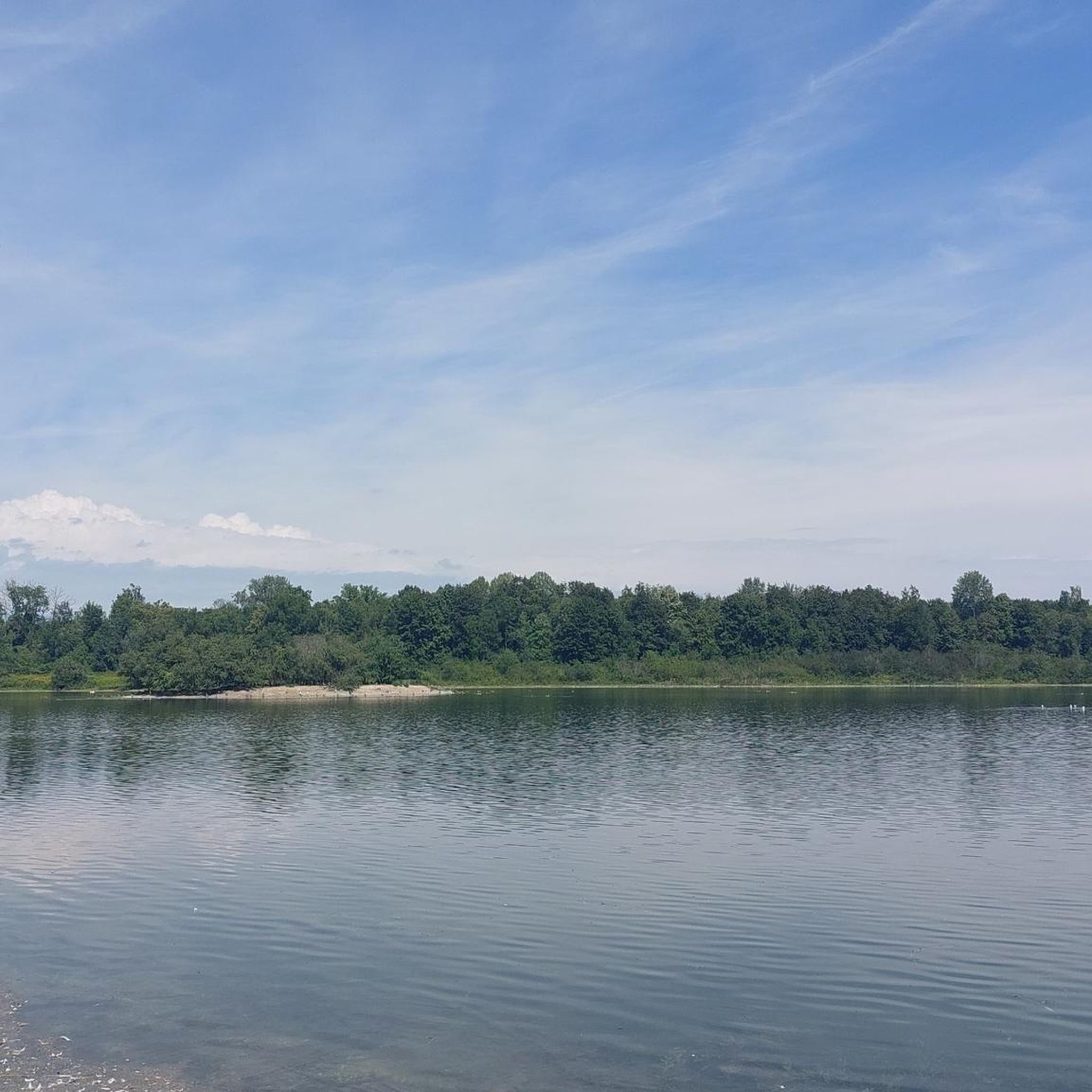
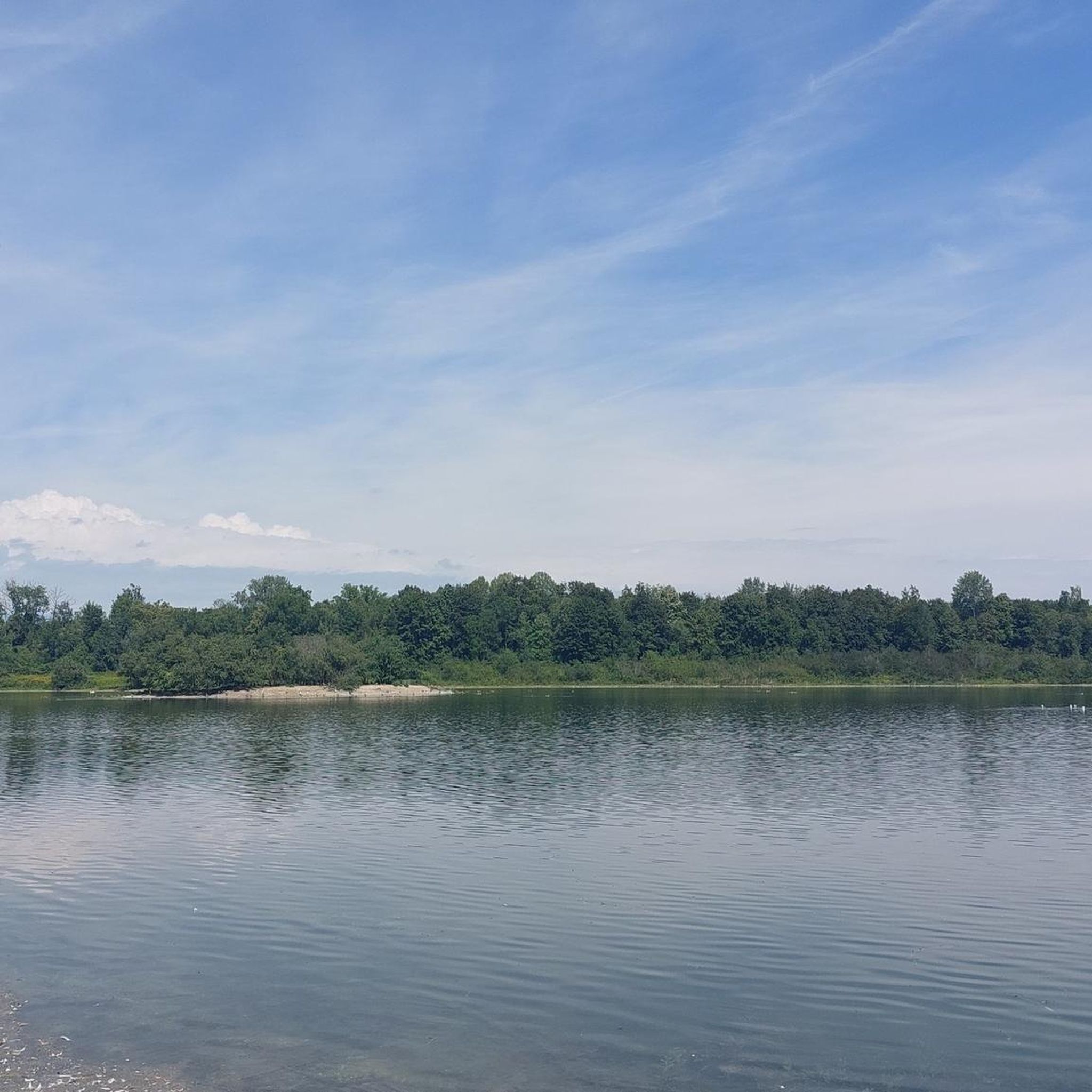
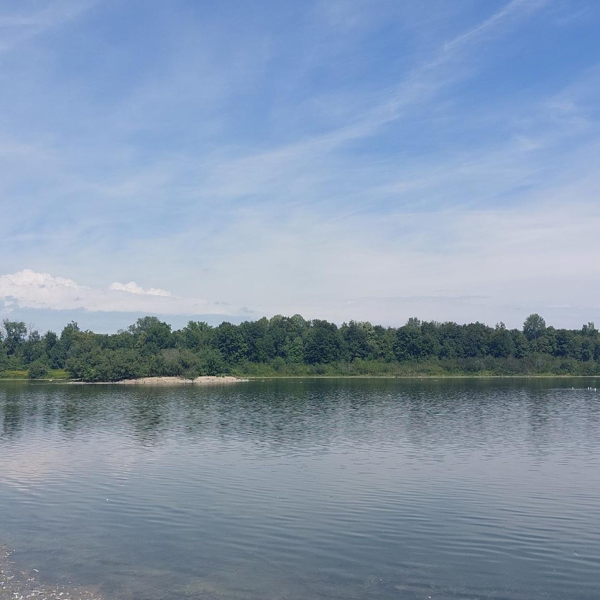
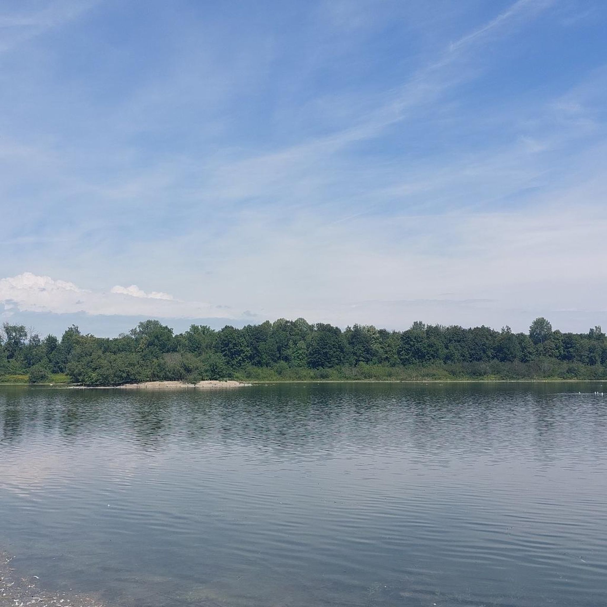
A beautiful landscape can be found here.
3
0

View of the castle and the Danube in the background the city
1
0
Frequently Asked Questions
How many gravel bike trails are available around Weichering?
Weichering offers a wide selection of gravel bike trails, with over 260 routes to explore. These routes cater to various skill levels, from easy rides to more challenging distances.
Are there gravel bike routes suitable for beginners in Weichering?
Yes, Weichering is an excellent area for beginners due to its relatively flat terrain and low elevation gains. There are 44 easy routes available. A good option to start with is the Path Through Schönbuch Forest loop from Weichering, which is an easy 11.6-mile (18.6 km) ride.
What options are there for advanced gravel bikers near Weichering?
While the region is generally flat, advanced gravel bikers can find longer routes that offer more distance and varied surfaces. There are 88 difficult routes available. Consider the Danube Cycle Path near Aume (Aime) – View of Neuburg an der Donau loop from Mühlhausen, a 29.3-mile (47.2 km) moderate trail that provides a good workout.
Can I find family-friendly gravel biking routes in Weichering?
Absolutely. The flat terrain along the Danube River and through agricultural areas makes many routes ideal for families. Look for the 'easy' rated tours, which often feature well-maintained paths and minimal elevation, perfect for a relaxed family outing.
What kind of scenery can I expect on gravel bike trails in Weichering?
Gravel biking in Weichering offers diverse scenery, primarily characterized by paths along the Danube River, open agricultural fields, and occasional wooded sections. You'll experience the tranquil beauty of the river landscape combined with views of the surrounding countryside.
Are there many loop gravel bike trails around Weichering?
Yes, many of the gravel bike trails in Weichering are designed as loops, allowing you to start and end at the same point. For example, the popular Grünau Castle – Avenue to Grünau Hunting Lodge loop from Bergheim is a 23.2-mile (37.4 km) circular route.
What are some interesting landmarks or attractions to see along the gravel bike routes?
Several routes pass by historical sites and natural attractions. You might encounter Neuburg Castle on the Danube, the scenic Elisenbrücke viewpoint, or the historic Grünau Hunting Lodge. The Danube Cycle Path near Aume (Aime) – Neuburg Castle and the Old Town loop from Mühlhausen specifically highlights historical sites.
What do other gravel bikers enjoy most about gravel biking in Weichering?
The area is highly rated by the komoot community, with an average score of 4.6 stars from over 400 reviews. Reviewers often praise the well-maintained paths, the peaceful river scenery, and the accessibility of routes for various skill levels, making it a pleasant experience for many.
Is public transport available to access gravel trails in Weichering?
Weichering is connected by local bus services, and the nearest train stations are in Neuburg an der Donau or Ingolstadt. From these points, you can often reach trailheads by cycling or connecting with local transport. It's advisable to check local bus schedules and bike transport policies in advance.
Are there any gravel bike routes that offer scenic viewpoints?
Many routes along the Danube Embankment Path provide open views of the river and surrounding landscapes. While there aren't dramatic mountain vistas, the expansive views across the agricultural fields and the river itself offer a serene and picturesque experience. The Elisenbrücke is a notable viewpoint in the area.
What is the best time of year for gravel biking in Weichering?
The best time for gravel biking in Weichering is typically from spring through autumn (April to October). During these months, the weather is generally mild, and the paths are in good condition. Summer offers longer daylight hours, while spring and autumn provide pleasant temperatures and beautiful natural colors.
Are there any cafes or places to stop for refreshments along the gravel bike trails?
While specific cafes directly on every trail may vary, routes that pass through or near towns and villages along the Danube, such as Neuburg an der Donau, will offer opportunities for refreshments. It's a good idea to plan your route and check for amenities in nearby settlements.
Most popular routes around Weichering
Most popular attractions around Weichering

Get inspired with the komoot mobile app


Explore more
Browse the best Gravel rides in other regions.
