The best gravel rides around Malching
4.8
(64)
380
riders
13
rides
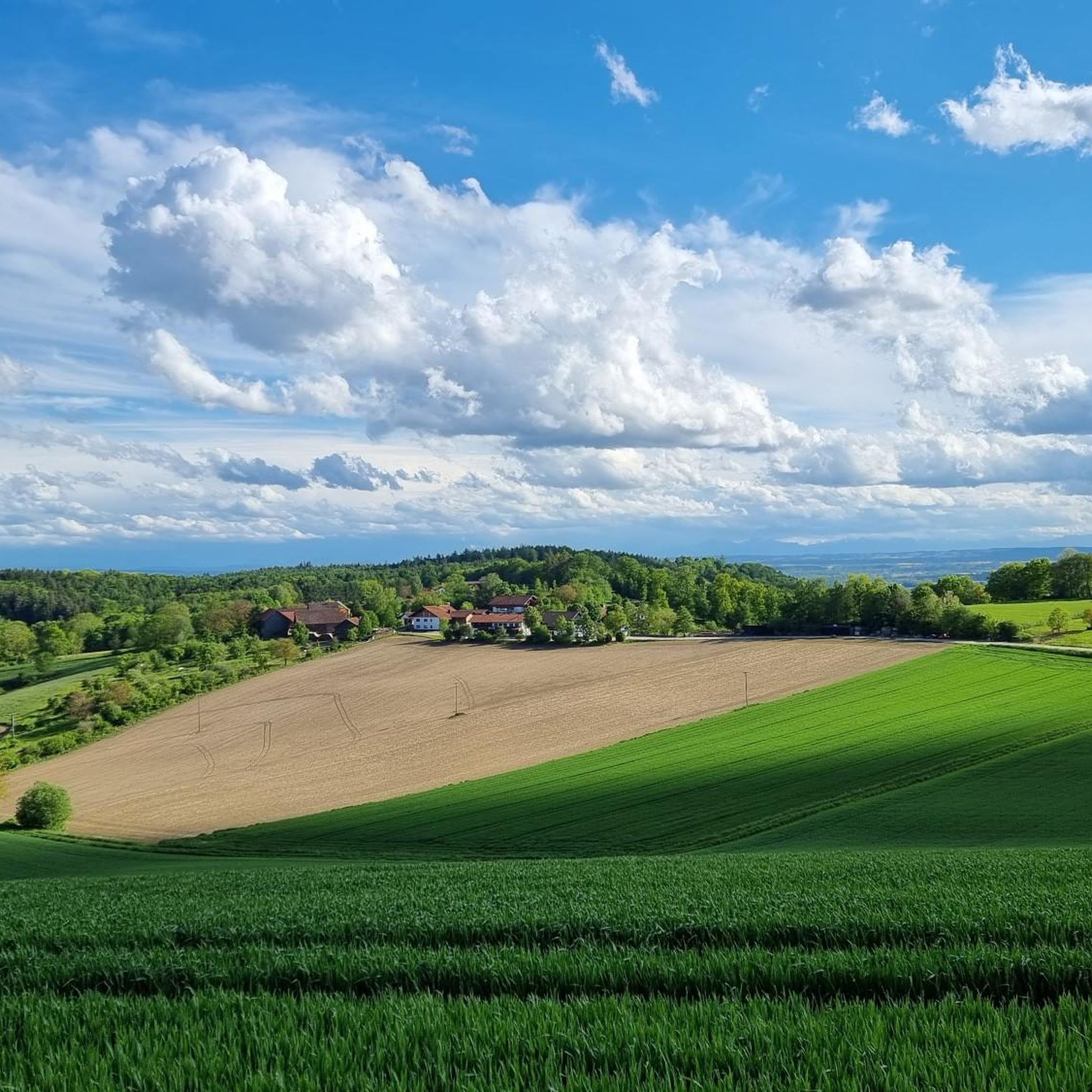
Gravel biking around Malching offers diverse terrain at the foot of the Bavarian Forest, characterized by the picturesque floodplain landscape of the Inn River. The region features a mix of riverbanks, forest edges, and well-developed paths along the Inn Dam, providing varied surfaces for gravel cyclists. The landscape provides a blend of flat sections along the river and gentle ascents into forested areas. This area integrates into established cycling networks, including the Rottalradweg and Innradweg, which often incorporate mixed-surface paths…
Last updated: November 2, 2026
4.6
(20)
124
riders
51.9km
02:41
240m
230m
Hard gravel ride. Good fitness required. You may need to push your bike for some segments of this route.
4.7
(18)
112
riders
58.5km
02:55
190m
190m
Moderate gravel ride. Good fitness required. Mostly paved surfaces.

5.0
(8)
65
riders
Easy gravel ride. Mostly paved surfaces.
4.5
(4)
23
riders
31.6km
01:52
100m
100m
Easy gravel ride. Mostly paved surfaces.
4.8
(5)
12
riders
Easy gravel ride. Mostly paved surfaces.
Get access to more routes and recommendations from other explorers.
Already have an account?
Our route recommendations are based on thousands of hikes, rides, and runs completed by other people on komoot.
Start today with a free account
Your next adventure awaits.

Other adventures around Malching

Tips from the Community

Treadmill path along the Inn
0
0

The fish doesn't let you go.
0
0
Event location directly on the Inn. Nice for a well-kept cyclist
0
0


The landmark that probably everyone who comes here knows.
0
0

The stairs have a ramp where you can easily push the bike up and down
3
0

Viewing point for bird watching
1
0
Frequently Asked Questions
How many gravel bike trails are available around Malching?
There are over 30 gravel bike trails around Malching, offering a diverse range of experiences. You'll find routes suitable for various skill levels, from easy riverside paths to more challenging loops through forested areas.
What kind of terrain can I expect on gravel bike trails in Malching?
The terrain around Malching is quite varied, characterized by the picturesque floodplain landscape of the Inn River. You can expect a mix of well-developed paths along the Inn Dam, riverbanks, and forest edges. This blend provides ideal conditions for gravel biking, allowing you to experience diverse natural settings.
Are there any easy gravel bike routes suitable for beginners or families?
Yes, Malching offers several easy gravel bike routes. A great option is the View of the Inn River – Eglsee Bird-Watching Tower loop from Hagenau im Innkreis, an easy 15.6-mile path that provides scenic views of the Inn River and passes by the Eglsee Bird-Watching Tower.
What are some scenic highlights or attractions I can see along the gravel routes?
Many routes offer scenic views of the Inn River and its floodplain. You can visit the Eglsee Bird-Watching Tower, explore historical sites like Hagenau Castle, or cycle past the Frauenstein Castle, which even has a cozy beer garden. The Stoppweiher Kiesgrube Nature Reserve is another natural highlight.
Are there any challenging gravel bike routes for experienced riders?
For experienced riders seeking a challenge, the region offers more demanding routes. The Burghausen Town Square – View of the Inn River loop from Obernberg-Altheim is a difficult 96.7 km route with significant elevation gain, providing a robust workout and extensive views.
What is the best time of year for gravel biking in Malching?
While specific weather data isn't provided, given Malching's location at the foot of the Bavarian Forest and its river landscapes, spring through autumn generally offers the best conditions for gravel biking. These seasons typically provide pleasant temperatures and drier paths, ideal for exploring the diverse terrain.
Are there any circular gravel bike routes around Malching?
Yes, many of the gravel routes around Malching are designed as loops. For example, the Aigen am Inn town center – View of the Inn River loop from Aigen am Inn is a 35.1 km circular trail leading through the Inn River floodplain, perfect for a varied ride.
What do other gravel bikers say about the trails in Malching?
The gravel biking routes in Malching are highly rated by the komoot community, with an average score of 4.6 stars from over 60 reviews. Reviewers often praise the varied terrain, scenic views along the Inn River, and the well-maintained paths that make for an enjoyable experience.
Can I find places to eat or drink along the gravel bike trails?
Yes, you can combine your ride with stops for refreshments. For instance, the Frauenstein Castle, a notable landmark, also features the Frauenstein Castle Tavern Beer Garden, offering a cozy spot for a post-ride break.
Are there any routes that follow the Inn River closely?
Absolutely. The region is defined by the Inn River and its floodplain. The Inn Dam Path in the Unterer Inn Nature Reserve offers well-developed surfaces for relaxed cycling directly alongside the river. Routes like the Eglsee Bird-Watching Tower – Cycling on the Inn Dike loop from Malching provide extensive sections along the Inn Dike.
Is Malching well-connected to other regional cycling networks?
Yes, Malching is integrated into several established cycling networks. These include the Rottalradweg, Römer-Radweg, Innradweg, and Drei-Täler-Radweg. These routes often incorporate mixed-surface paths, making them ideal for gravel bikes and allowing for longer, interconnected tours.
Are there any specific natural reserves or protected areas to explore by gravel bike?
The Inn River floodplain itself is a significant natural feature, and the Inn Dam Path runs through the Unterer Inn Nature Reserve. This area provides a unique opportunity to cycle through diverse natural settings and observe local wildlife, such as birds near the Eglsee Bird-Watching Tower.
Most popular attractions around Malching

Get inspired with the komoot mobile app


Explore more
Browse the best Gravel rides in other regions.
