The best gravel rides around Waffenbrunn
4.6
(33)
74
riders
17
rides
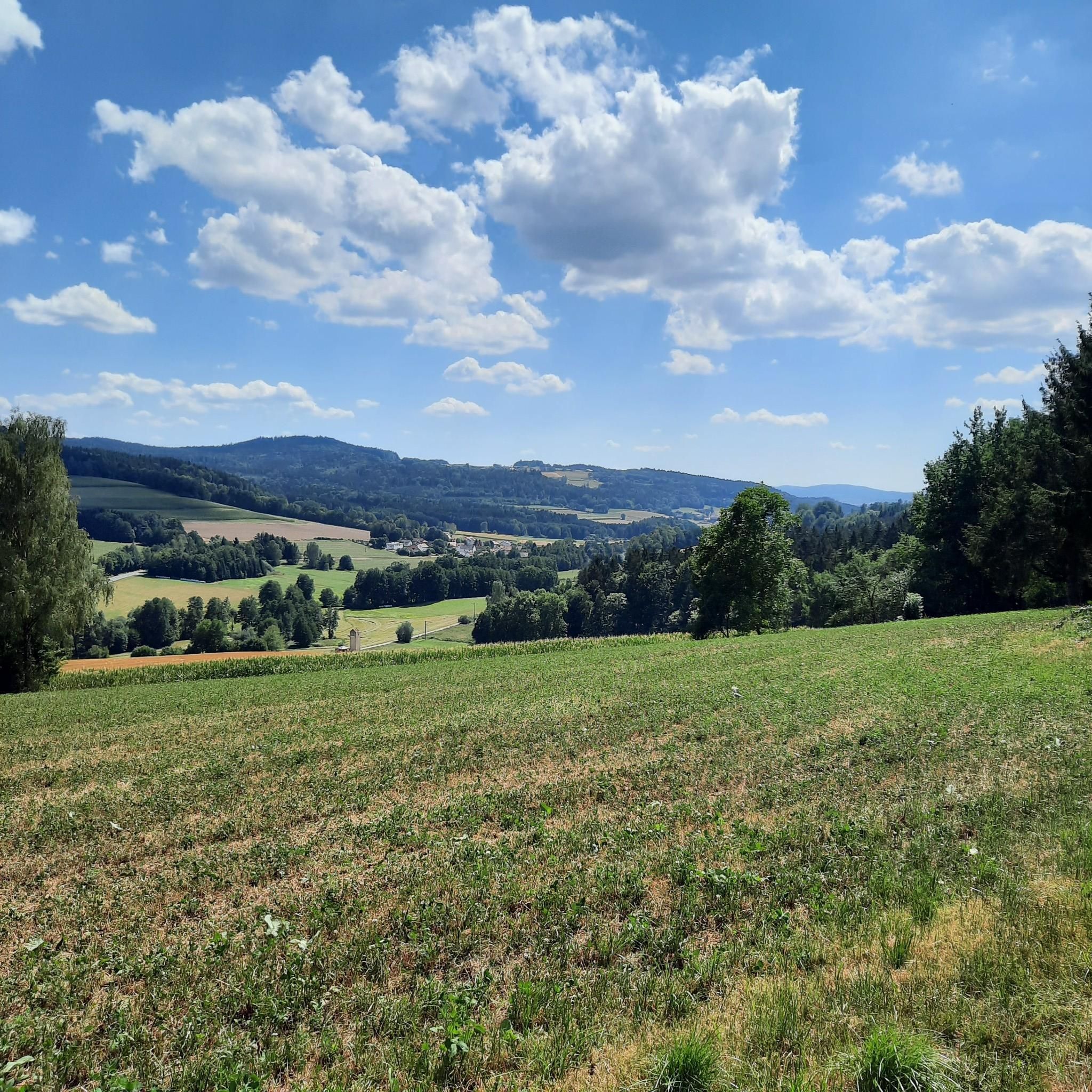
Gravel biking around Waffenbrunn offers access to the varied landscapes of the Bavarian Forest, characterized by a mix of natural surfaces, gravel paths, and forest roads. The region features rolling hills and some challenging ascents, with notable elevations like Darstein (650 m) providing panoramic views. The Regen River valley also contributes to the diverse terrain, offering both paved and natural sections suitable for gravel bikes. An extensive network of trails supports a range of gravel biking experiences.
Best gravel bike…
Last updated: October 6, 2026
4.8
(17)
19
riders
40.2km
02:28
470m
470m
Hard gravel ride. Very good fitness required. You may need to push your bike for some segments of this route.
5.0
(5)
8
riders
Hard gravel ride. Very good fitness required. Mostly paved surfaces. Suitable for all skill levels.

7
riders
Hard gravel ride. Very good fitness required. Mostly paved surfaces. Suitable for all skill levels.
4.5
(2)
15
riders
47.2km
02:36
160m
160m
Moderate gravel ride. Good fitness required. Mostly paved surfaces. Suitable for all skill levels.
4.8
(6)
13
riders
Moderate gravel ride. Good fitness required. Mostly paved surfaces. Suitable for all skill levels.
Get access to more routes and recommendations from other explorers.
Already have an account?
Our route recommendations are based on thousands of hikes, rides, and runs completed by other people on komoot.
Start today with a free account
Your next adventure awaits.
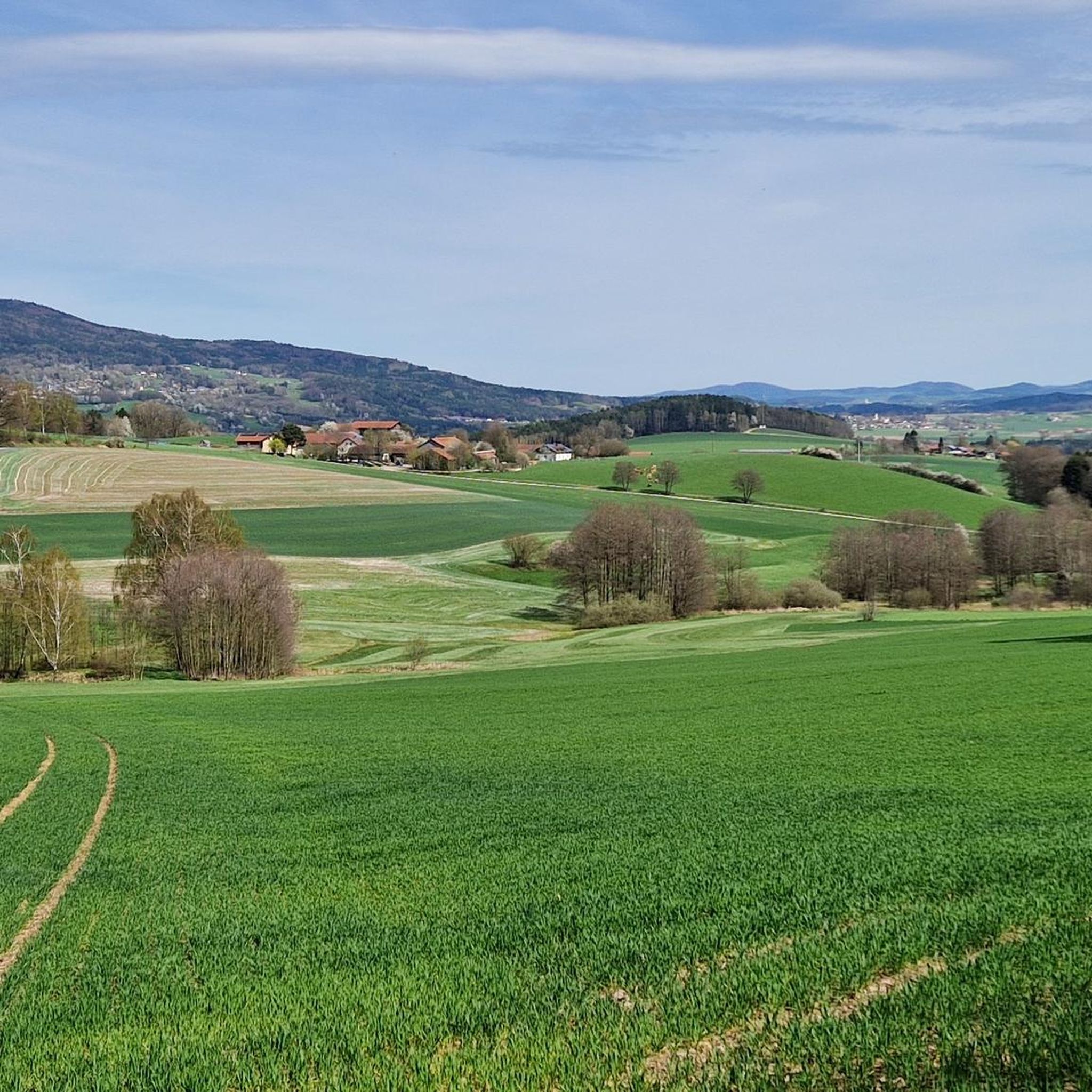
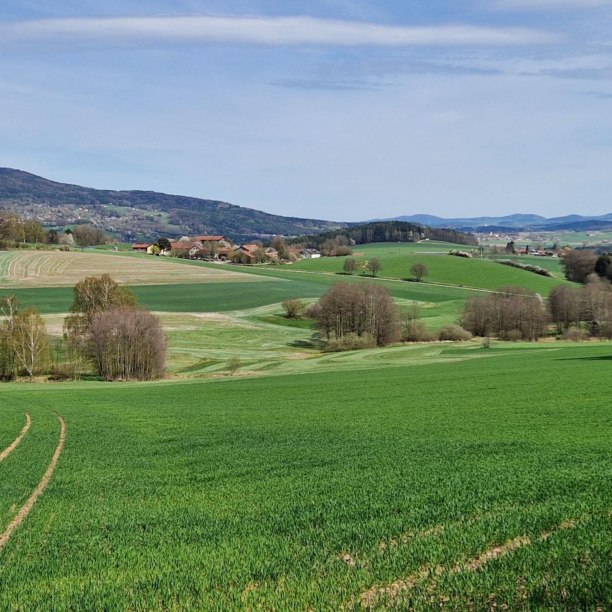
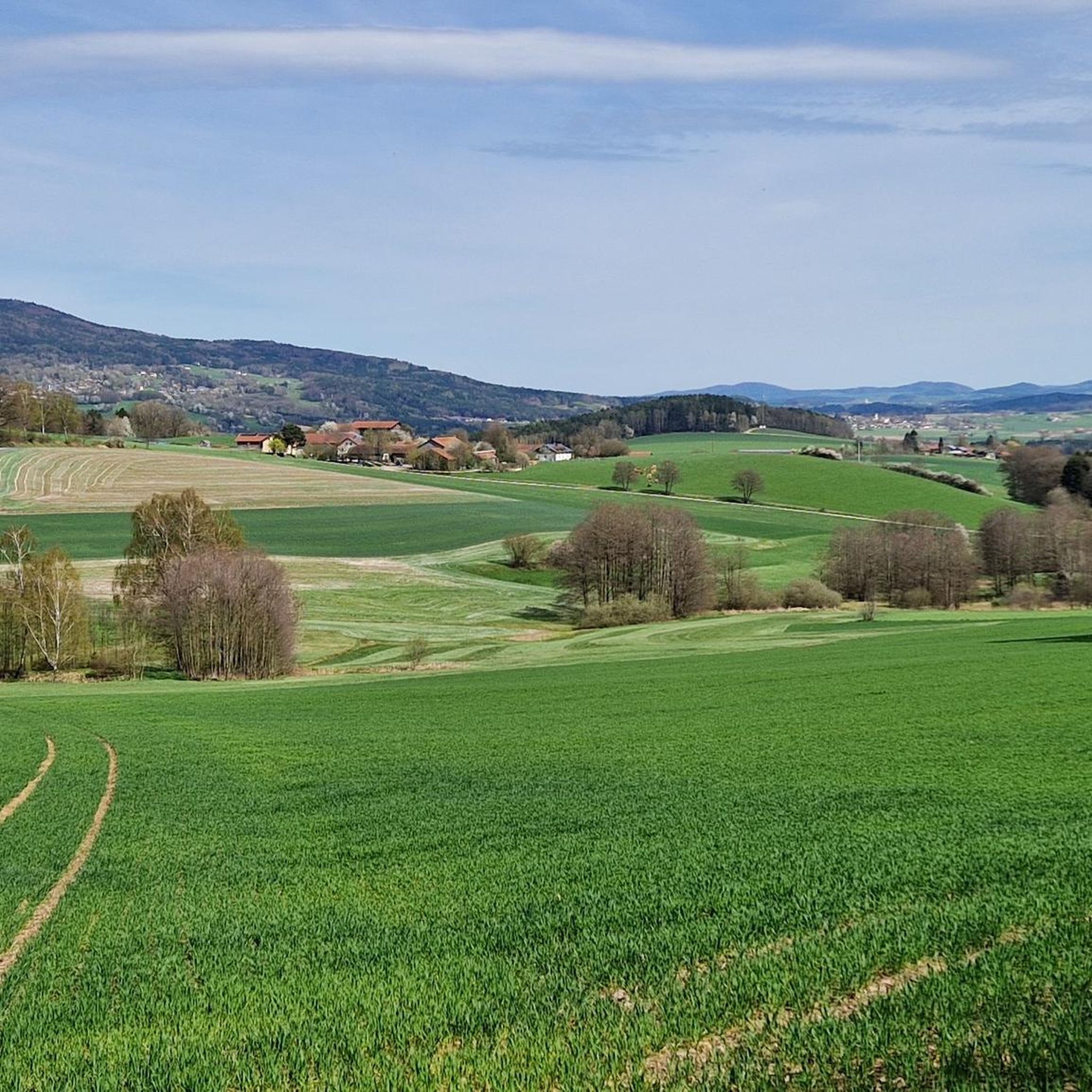
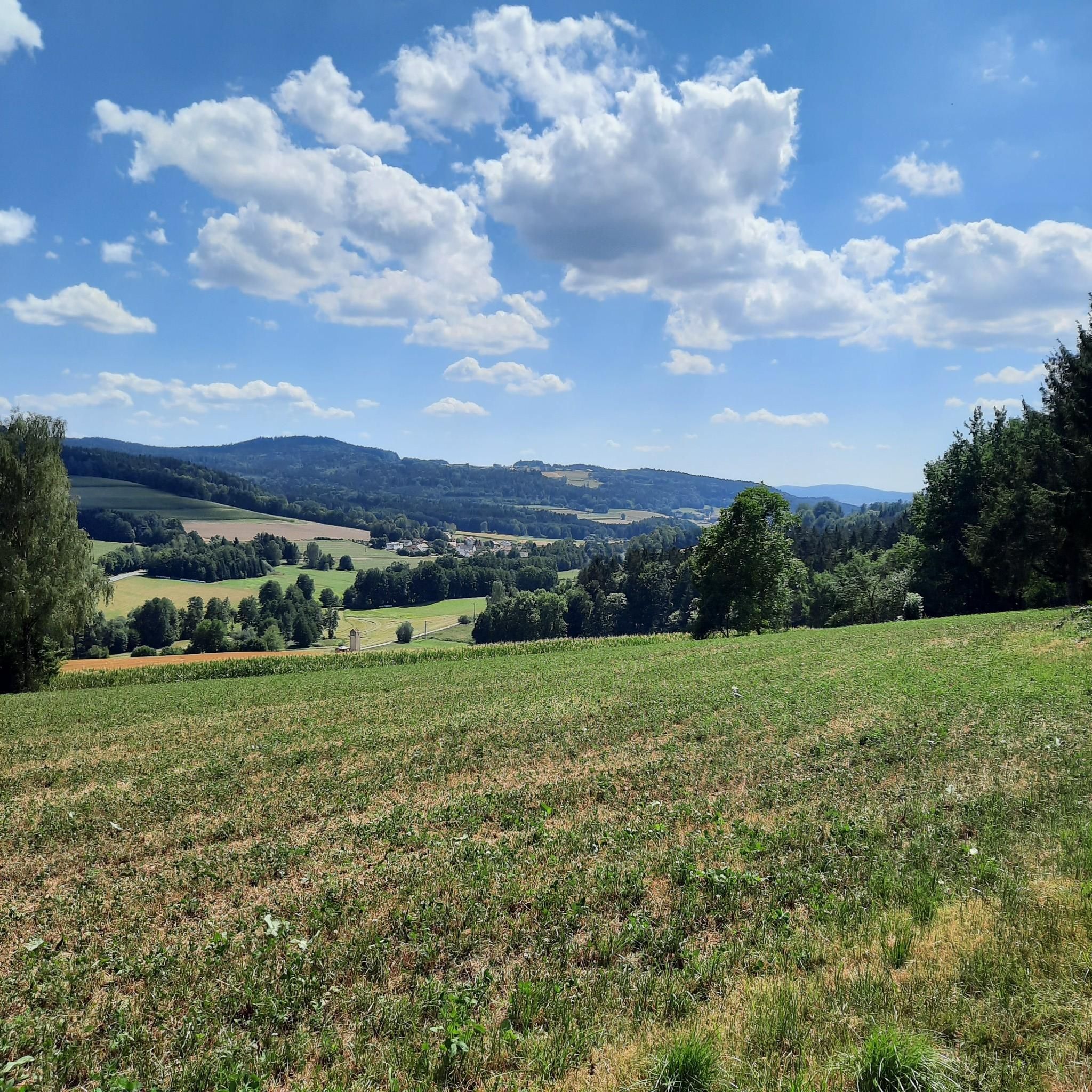
Tips from the Community

only the old stone tower (also called Kurzturm) can be climbed to enjoy the view
0
0
The craft museum is open from Friday to Sunday. Here you can learn interesting things about old crafts
0
0
very nice section from the Schwarzach in the Schönthal area
0
0
between the rocks it is still relatively pleasant even on the warmest summer days
0
0

Wonderful area, a great experience again and again,
0
0

Give the little legs a break.,.....
1
0

The former Grafenried (Czech: Lučina) stood on a small hill near the German border (today the Untergrafenried border crossing) west of Nemanice. Grafenried also included the villages of Anger (Upor), Seeg (Pila), and Haselbach (Liskova). Around 800 people lived there. After the end of the Second World War, the German population was expelled from the border area, and the village, with all its buildings, was gradually razed. The Grafenried church of St. George still stood until the 1970s. Although it had the status of a monument, it was blown up and demolished. On the initiative of a former German resident of the community and some historians on the Czech side, the remains of the church were partially excavated and renovated in 2011. The search for traces was extended to the entire lost village and its districts.
12
0
Frequently Asked Questions
How challenging are the gravel bike trails around Waffenbrunn?
The gravel biking trails around Waffenbrunn offer a range of difficulties. You'll find a mix of terrain, from rolling hills to more challenging ascents, especially as you venture further into the Bavarian Forest. There are 19 difficult routes, 9 moderate routes, and 1 easy route available, ensuring options for various skill levels.
Are there options for longer gravel rides near Waffenbrunn?
Yes, the region provides several longer gravel biking options. For example, the Regental Cycle Path – Lake Höllenstein loop from Cham (Oberpf) is a challenging 56.4 km (35.0 miles) route that takes nearly 4 hours to complete, following sections of the scenic Regentalradweg.
Can I find family-friendly gravel biking routes in the area?
While many routes are moderate to difficult, the diverse terrain, including sections of the Regen Valley Cycle Path, can offer suitable options for families. Look for routes with less elevation gain and shorter distances, or consider exploring the flatter sections along the Regen River for a more relaxed experience.
What are some good routes for beginners or those new to gravel biking?
For beginners, it's best to start with routes that have less elevation and are shorter in distance. While most routes are moderate to difficult, there is at least one easy route available. Consider exploring the less strenuous sections of the Regentalradweg, which offers a mix of paved and natural surfaces suitable for getting accustomed to gravel biking.
What kind of terrain can I expect on the gravel bike trails around Waffenbrunn?
The terrain around Waffenbrunn is highly varied, characteristic of the Bavarian Forest. You'll encounter a mix of natural surfaces, dedicated gravel paths, and forest roads. The region features rolling hills and some challenging ascents, particularly towards elevations like Darstein (650 m) and Kolmberg, as well as flatter sections along river valleys like the Regen.
Are there any circular gravel bike routes available?
Yes, many of the gravel bike routes around Waffenbrunn are designed as loops, allowing you to start and end at the same point. Examples include the Silbersee Loop – Schwarzach Border Crossing loop from Waldmünchen, a 40.2 km (24.9 miles) route, and the Schwarzach River bend near Thurau – Perlsee Dam loop from Niederpremeischl Abzw., which covers 53.5 km (33.3 miles).
What can I see along the gravel bike trails in terms of natural beauty or landmarks?
The trails offer stunning natural beauty and interesting landmarks. You can encounter the scenic Lower Regen river, or visit the unique Lighthouse of Humanity at Tannenriegel. For panoramic views, consider routes that pass near the Kreuzfelsen Summit (Gibacht) or the Glass summit cross on the Reiseck.
Are there any historical sites or cultural attractions accessible by gravel bike?
Absolutely. The region is rich in history. You might come across the Three Coats of Arms, a historical marker commemorating a 1754 border agreement. The broader area also features castle ruins, such as those at Buchberg, and the charming district town of Cham, just 6 km from Waffenbrunn, offers cultural exploration.
When is the best time of year to go gravel biking around Waffenbrunn?
The best time for gravel biking around Waffenbrunn is typically from spring through autumn. During these seasons, the weather is generally favorable, and the trails are clear. While winter riding is possible, be prepared for potential snow and ice, especially in higher elevations of the Bavarian Forest.
What do other gravel bikers enjoy most about the trails in Waffenbrunn?
The area is highly rated by the komoot community, with an average score of 4.6 stars from over 30 reviews. Reviewers often praise the varied terrain, the extensive network of trails that cater to different abilities, and the beautiful natural landscapes of the Bavarian Forest, including the scenic river valleys and challenging ascents.
Are there any less-known or 'hidden gem' routes for gravel biking?
While specific 'hidden gems' are often discovered through local exploration, routes like the Pösinger bathing pond – Regen River Bridge loop from Cham (Oberpf) offer a moderate 47.2 km (29.3 miles) ride that explores the picturesque Regen River valley, providing a less strenuous yet scenic experience away from the most challenging climbs.
Can I find places to stop for refreshments or food along the trails?
Yes, the region has charming towns and villages, including Cham, which is close to Waffenbrunn. These offer opportunities for local hospitality, including cafes and restaurants. Additionally, some routes might pass near huts or taverns, such as the Haidsteiner Hut or Langa Alm – Trout Oasis, which are popular stops for hikers and cyclists.
Most popular routes around Waffenbrunn
Most popular attractions around Waffenbrunn

Get inspired with the komoot mobile app


Explore more
Browse the best Gravel rides in other regions.
