The best gravel rides around Gleiritsch
4.7
(19)
94
riders
11
rides
Gravel biking around Gleiritsch offers varied terrain through the Schwandorf district of Bavaria, Germany. The region features rolling hills, expansive forests, and riverine landscapes, providing diverse routes for cyclists. Proximity to the Naab River and its tributaries, like the Pfreimd, contributes to scenic riverside cycling opportunities. The area's topography includes both challenging climbs and gentler paths through woodlands, making it suitable for different gravel biking preferences.
Best gravel bike trails around Gleiritsch
- The most popular gravel bike trail is Schwarzachtal Cycle Path – View of the Naab River loop from Oberviechtach, a 29.1 miles (46.9 km) trail that takes 3 hours 52 minutes to complete. This moderate route offers views of the Naab River.
- Another top favourite among local gravel bikers is Naab footbridge in Nabburg – View of Nabburg loop from Pfreimd, a difficult 35.1 miles (56.5 km) path. This route features significant elevation changes and scenic views around Nabburg.
- Local gravel bikers also love the Gaisthal Bike Station – Lake Schönsee loop from Oberviechtach, a 27.8 miles (44.7 km) trail leading through varied terrain towards Lake Schönsee, often completed in about 3 hours 38 minutes.
- Gravel biking around Gleiritsch is defined by rolling hills, dense forests, and riverine landscapes. The network offers options for easy, moderate, and difficult routes.
- The routes in Gleiritsch are highly rated by the komoot community with an average score of 4.9 stars from over 10 reviews. More than 50 gravel bikers have used komoot to explore Gleiritsch's varied terrain.
Last updated: October 6, 2026
4.8
(4)
32
riders
46.9km
03:13
280m
280m
Moderate gravel ride. Good fitness required. Mostly paved surfaces. Suitable for all skill levels.
4.8
(4)
25
riders
56.5km
03:31
510m
510m
Hard gravel ride. Very good fitness required. Mostly paved surfaces. Suitable for all skill levels.

5.0
(7)
15
riders
44.7km
02:50
480m
480m
Hard gravel ride. Very good fitness required. Mostly paved surfaces. Suitable for all skill levels.
5
riders
Moderate gravel ride. Good fitness required. Mostly paved surfaces. Suitable for all skill levels.
3
riders
114km
06:47
1,050m
1,050m
Hard gravel ride. Very good fitness required. Mostly paved surfaces. Suitable for all skill levels.
Get access to more routes and recommendations from other explorers.
Already have an account?
Our route recommendations are based on thousands of hikes, rides, and runs completed by other people on komoot.
Start today with a free account
Your next adventure awaits.
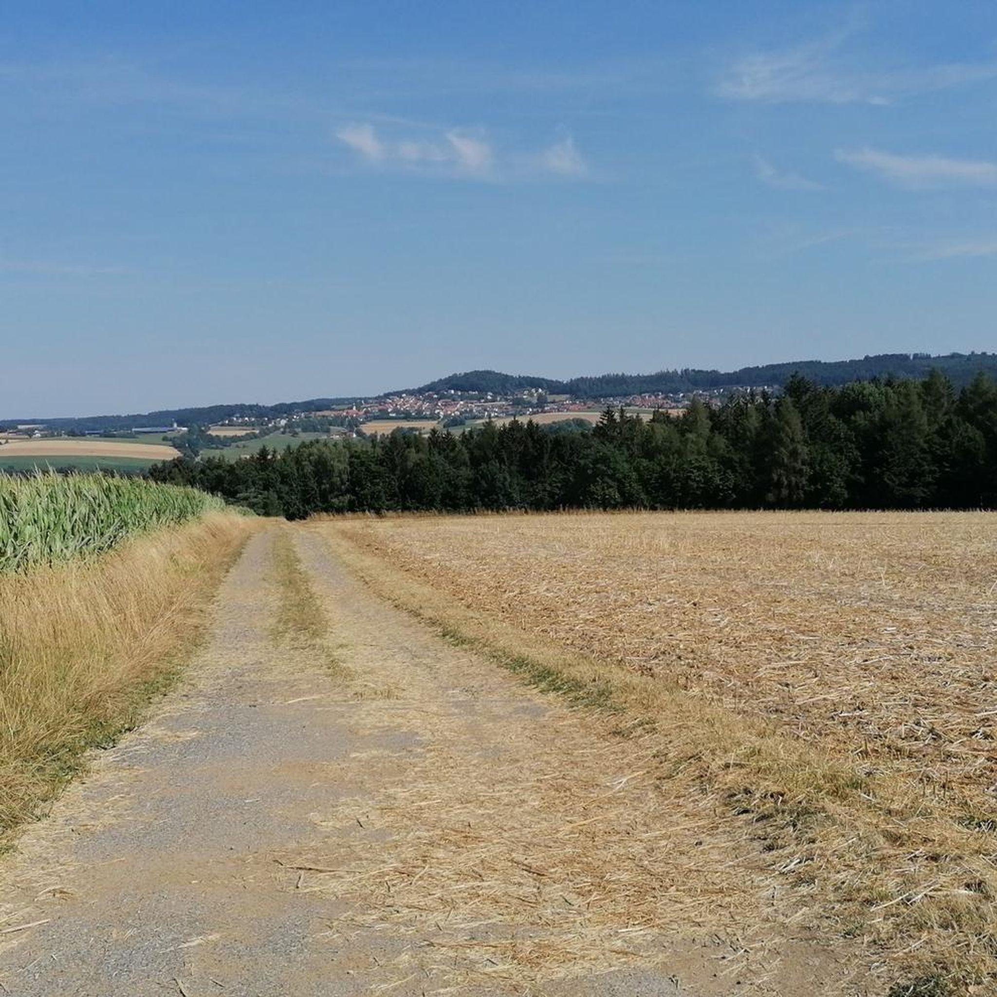
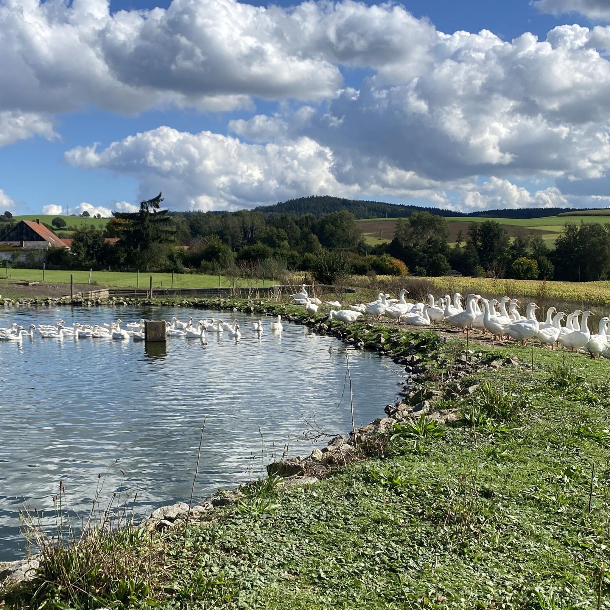
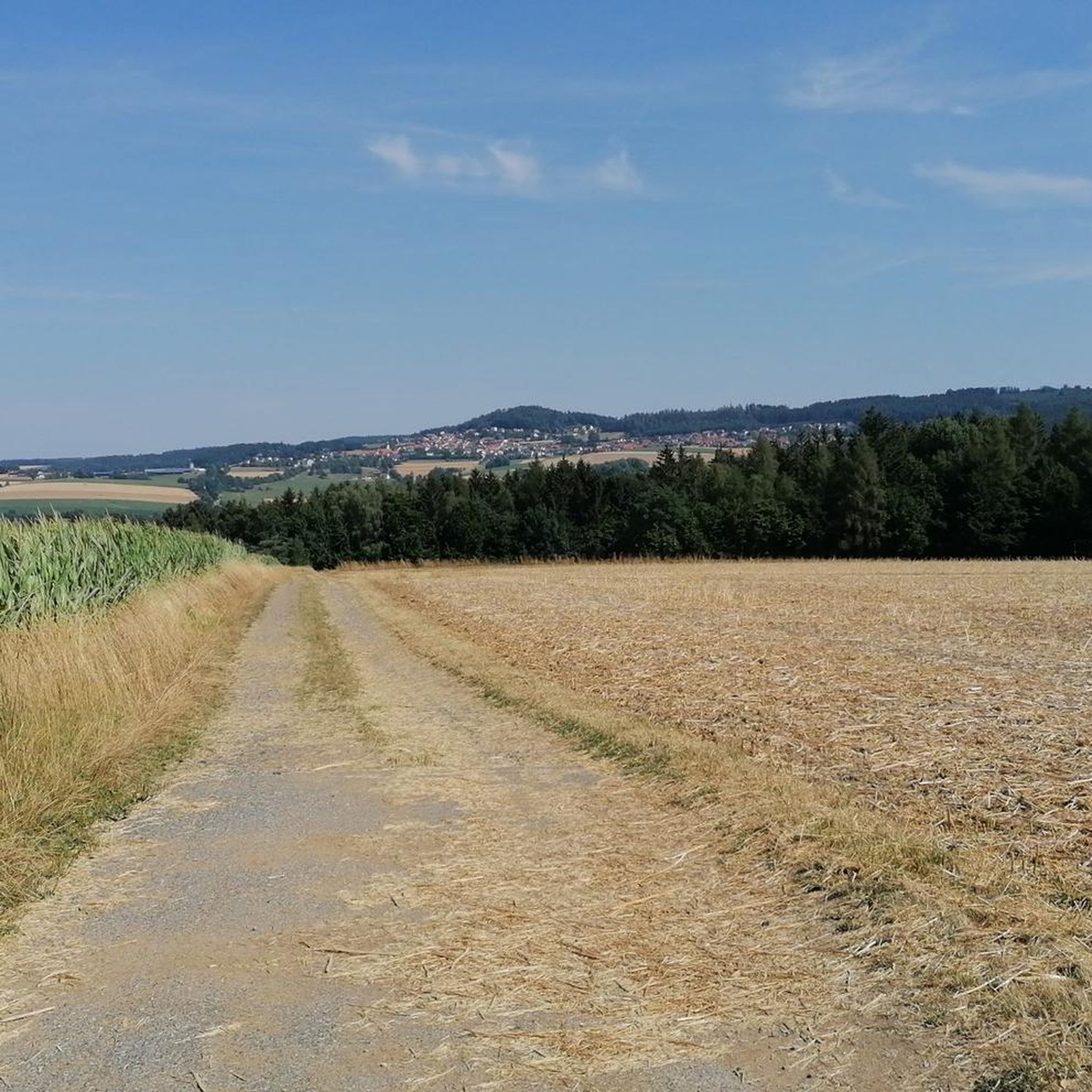
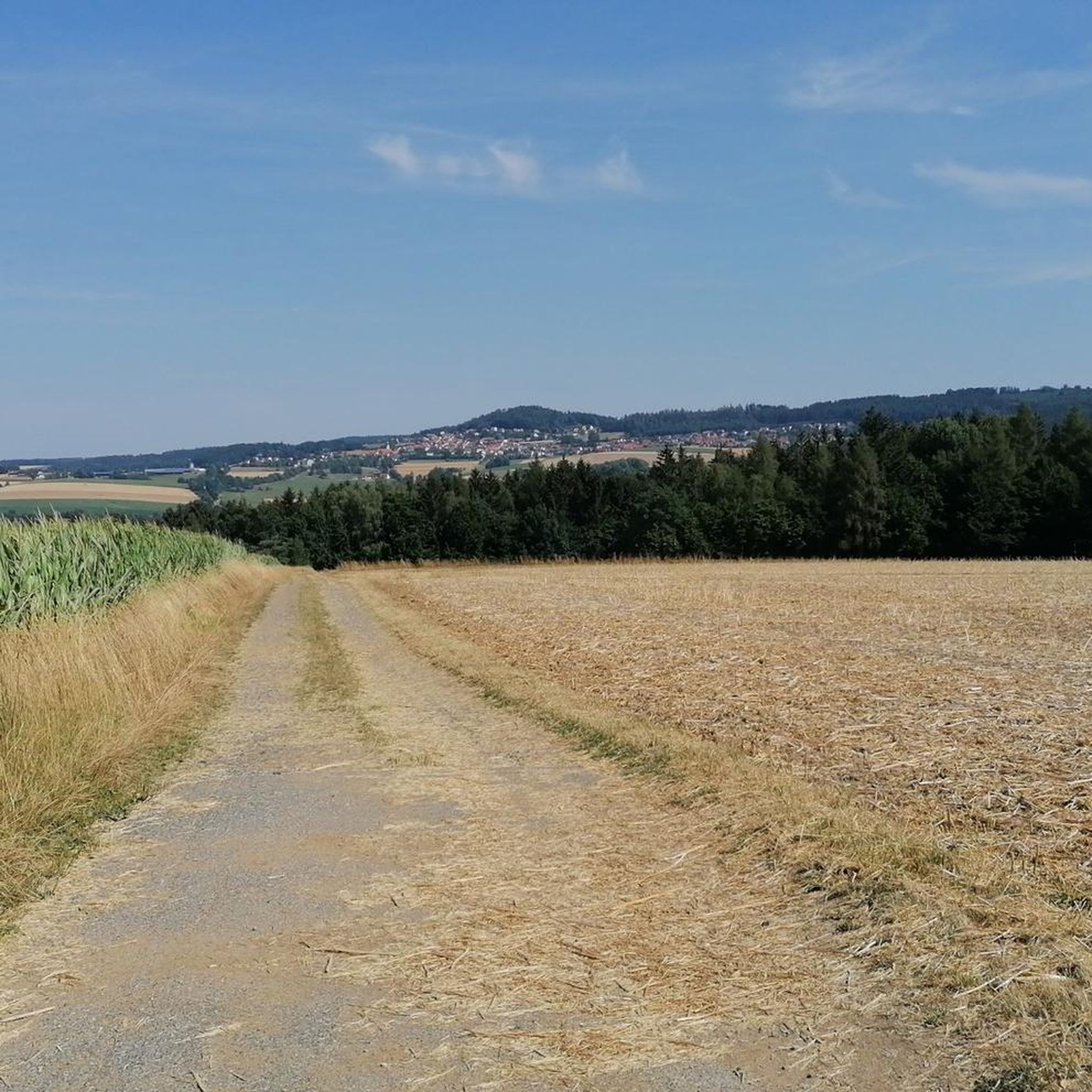
Tips from the Community

The Reisach power plant in Trausnitz
0
0

This inn is located in an ideal spot on the Grünes Dach cycle path. Simple but good. Friendly hosts, good room and good beer. You can stay here overnight and then head off on the next stage.
0
0

Particularly beautiful at the annual lake festival
1
0

Probably one of the most beautiful sights in Nabburg.
1
0

The impressive building is somewhat hidden in a beautiful landscape.
2
0
The Bavarian-Bohemian Cycle Route, always a pleasure.
0
0
Every time I pass by here, I have to take a photo.
1
0

Frequently Asked Questions
How many gravel bike trails are available around Gleiritsch?
There are 15 gravel bike trails around Gleiritsch, offering a variety of experiences. This includes 2 easy routes, 5 moderate routes, and 8 difficult routes, ensuring options for all skill levels.
What kind of terrain can I expect on gravel bike trails in Gleiritsch?
Gleiritsch's gravel bike trails feature varied terrain, including rolling hills, dense forests, and scenic riverine landscapes. You'll encounter both challenging climbs, particularly towards elevations like the Katzenstein, and gentler paths through shaded woodlands and along rivers like the Naab and Pfreimd.
Are there any family-friendly gravel biking options in Gleiritsch?
Yes, Gleiritsch offers some easier routes suitable for families. The region's established cycling infrastructure, including parts of the Bavarian-Bohemian Friendship Cycle Path, provides varied routes through forests and along rivers without significant climbs, which can be ideal for a family outing. Look for the 2 easy-rated routes available.
What is the best time of year for gravel biking in Gleiritsch?
The best seasons for gravel biking in Gleiritsch are spring to autumn. During these months, the weather is generally favorable for outdoor activities, allowing you to fully enjoy the picturesque landscapes and diverse natural features of the region.
Are there any notable landmarks or attractions along the gravel routes?
Yes, several interesting landmarks and natural features can be explored. You might encounter historical sites like the Leuchtenberg Castle Ruins or the Wildstein Castle Ruins. The Pfreimdtal Riverside Trail, a Natura 2000 FFH area, offers ecological significance and beautiful riverside views.
What do other gravel bikers say about the trails in Gleiritsch?
The gravel bike trails in Gleiritsch are highly rated by the komoot community, with an average score of 4.9 stars from over 10 reviews. Many praise the varied terrain, from challenging climbs to scenic routes through forests and along rivers, making it suitable for different preferences. Over 50 gravel bikers have used komoot to explore the area.
Are there any long-distance gravel routes or paths that pass through Gleiritsch?
Yes, the region is near the Bavarian-Bohemian Friendship Cycle Path, which is suitable for gravel bikes. This railway cycle path offers a varied route through beautiful forests, past mystical rocks, and along meandering rivers and streams, providing a longer, enjoyable cycling experience without significant climbs. You can also explore the extensive Schwarzachtal Cycle Path – View of Nabburg loop from Pfreimd, which is over 114 km long.
Can I find routes that offer views of the Naab River?
Absolutely. The Naab River is a prominent feature of the region, and several routes offer scenic views. For example, the moderate Schwarzachtal Cycle Path – View of the Naab River loop from Oberviechtach specifically highlights views of the Naab River.
Are there any challenging gravel routes for experienced riders?
Yes, Gleiritsch offers several challenging routes for experienced gravel bikers. With 8 difficult-rated tours, you can find options with significant elevation changes and demanding terrain. An example is the Naab footbridge in Nabburg – View of Nabburg loop from Pfreimd, which features substantial elevation gains and scenic views around Nabburg.
Are there any routes that lead to lakes or other natural water bodies?
Yes, you can find routes that take you towards beautiful natural water bodies. The Gaisthal Bike Station – Lake Schönsee loop from Oberviechtach is a difficult route that leads through varied terrain towards Lake Schönsee, offering picturesque views.
What is the highest point I can reach on a gravel bike in the Gleiritsch area?
The Katzenstein, at 622 meters above sea level, is the highest elevation in the municipality of Gleiritsch. While specific routes directly to its summit for gravel bikes aren't detailed, the region's difficult routes will certainly involve significant ascents and offer rewarding views from higher elevations.
Is it possible to find circular gravel routes around Gleiritsch?
Yes, many of the gravel bike trails around Gleiritsch are designed as loops, allowing you to start and end your ride in the same location. Examples include the Schwarzachtal Cycle Path – View of the Naab River loop from Oberviechtach and the Schwarzachtal Cycle Path – Open-Air Museum Upper Palatinate loop from Neusath.
Most popular routes around Gleiritsch
Most popular attractions around Gleiritsch

Get inspired with the komoot mobile app


Explore more
Browse the best Gravel rides in other regions.
