The best gravel rides around Oberlascheid
5.0
(3)
74
riders
16
rides
Gravel biking around Oberlascheid features a landscape characterized by extensive forest paths, rolling hills, and scenic routes that often cross regional borders. The terrain primarily consists of unpaved roads and tracks, suitable for gravel bikes, with varied topography and elevation changes. The region is part of the Eifel, known for its diverse landscapes including the Our River valley and volcanic features. This area offers a network of trails connecting natural areas and small villages.
Best gravel bike trails around Oberlascheid
…Last updated: July 17, 2026
5.0
(1)
50
riders
84.9km
06:42
1,610m
1,610m
Hard gravel ride. Very good fitness required. Mostly paved surfaces. Suitable for all skill levels.
7
riders
40.1km
02:44
530m
530m
Hard gravel ride. Very good fitness required. Mostly paved surfaces. Suitable for all skill levels.

Sign up for free
5.0
(1)
5
riders
30.5km
02:23
520m
520m
Hard gravel ride. Very good fitness required. You may need to push your bike for some segments of this route.
5
riders
90.7km
06:09
1,450m
1,450m
Hard gravel ride. Very good fitness required. Mostly paved surfaces. Suitable for all skill levels.
3
riders
93.0km
07:22
1,510m
1,510m
Hard gravel ride. Very good fitness required. Mostly paved surfaces. Suitable for all skill levels.
Get access to more routes and recommendations from other explorers.
Sign up for free
Already have an account?
Our route recommendations are based on thousands of hikes, rides, and runs completed by other people on komoot.
Start today with a free account
Your next adventure awaits.
Login or Signup

Tips from the Community

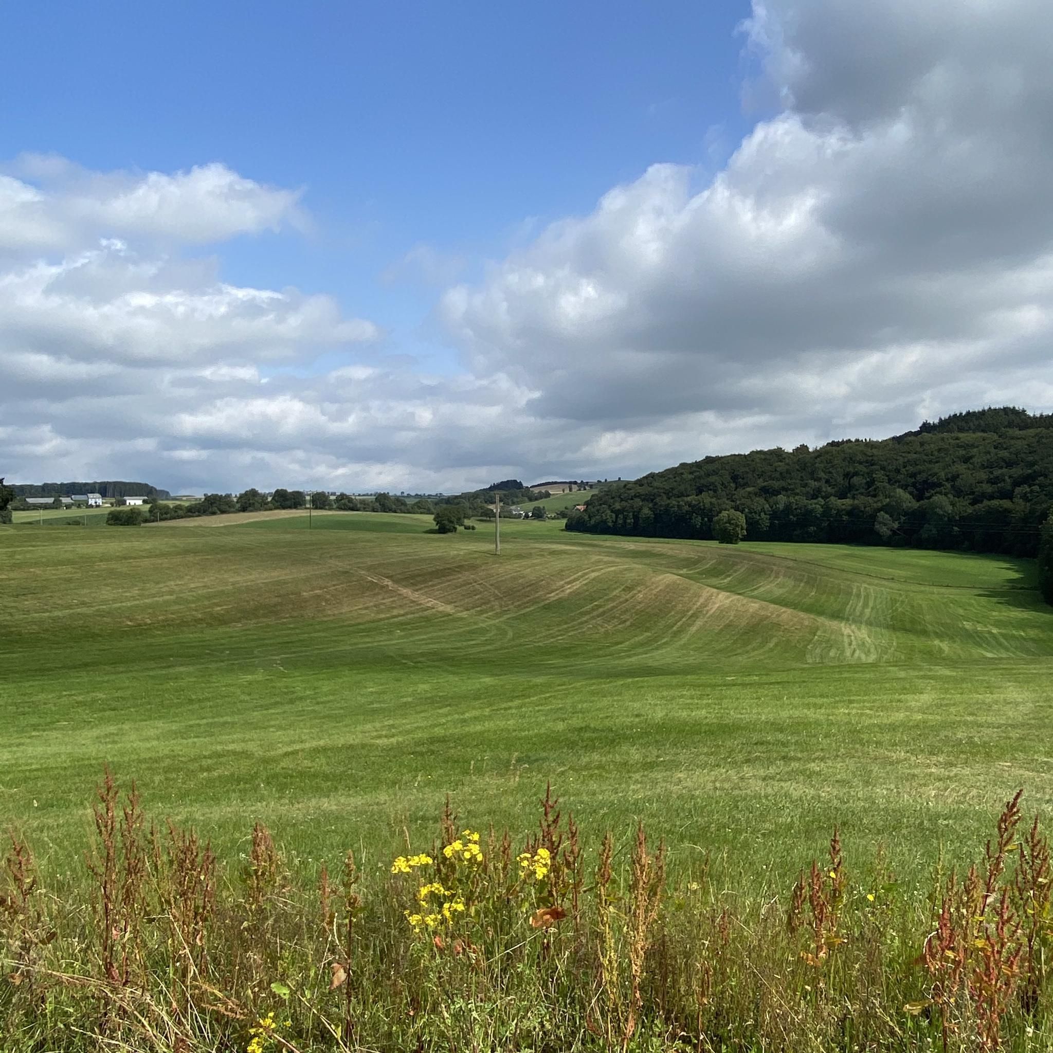
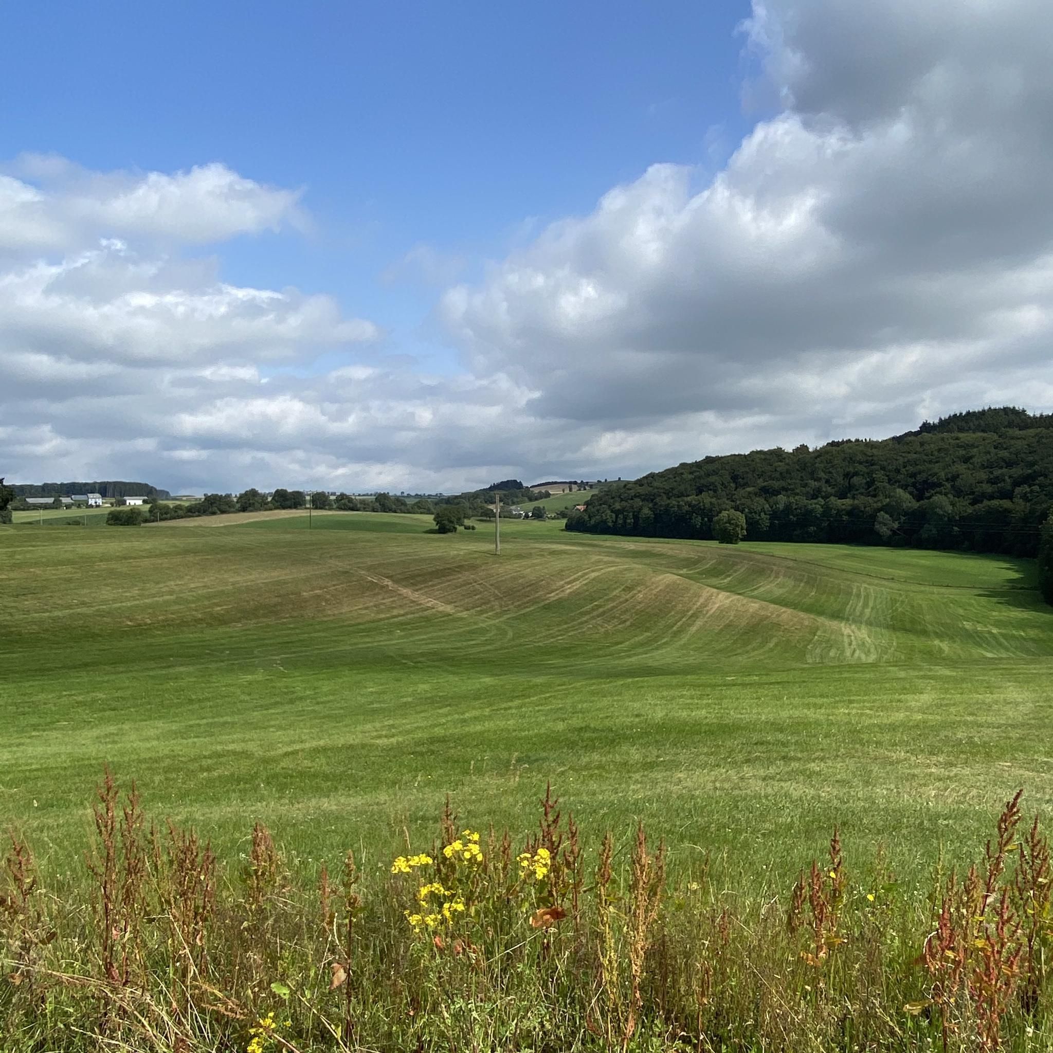
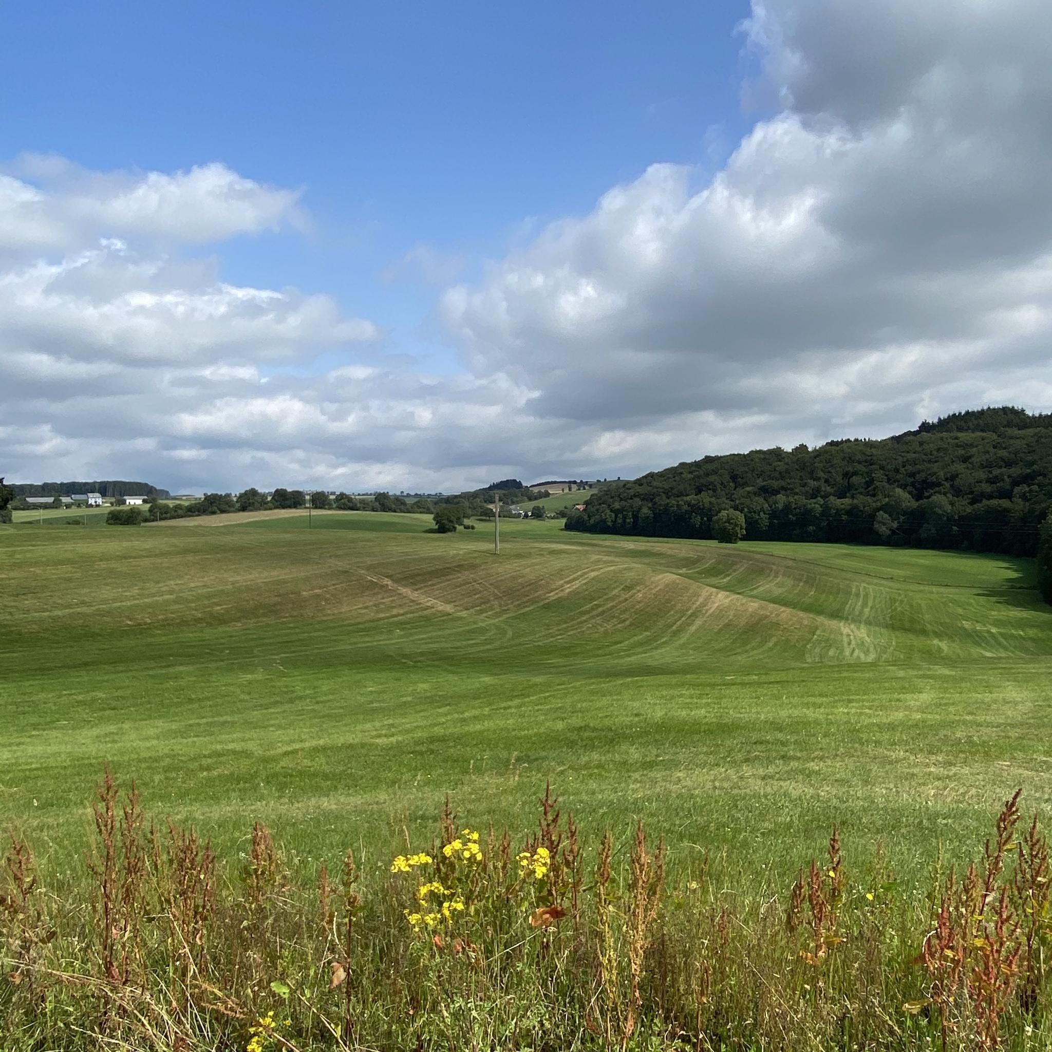
The Dreiborn Plateau impresses as a vast open landscape with an area of around 32 km². In the summer months, the flower-rich meadows offer food for plenty of insects, especially butterflies, which tumble over the blossoms. In May, the blooming broom gilds the landscape. From here you have fantastic panoramic views over the Rureifel. A newly installed XXL bench invites you to sit here, relax and let the good Lord be a good man. A wonderful place to take a breath and linger.
0
0
The Dreiborn Plateau impresses as a vast open landscape with an area of around 32 km². In the summer months, the flower-rich meadows offer food for lots of insects, especially butterflies, which tumble over the flowers. In May, the blooming broom gilds the landscape. From here you have fantastic panoramic views over the Rureifel. A newly installed XXL bench invites you to sit here, relax and let the good Lord be a good man. A wonderful place to take a breath and linger.
0
0

From here we enjoy a wide view over the Dreiborn Plateau.
0
0
The Dreiborner Hochfläche is recommended as a year-round hiking area.
1
0

You can go up on the left or right (depending on the direction of travel) and onto the bridge. Worth it for a short break or lunch
0
0

Nice path through the forest.
0
0

Old turntable
0
0

Dam construction period: 1954–1959 Height above valley floor: 54.6 m Crest length: 282 m Crest width: 5.7 m
0
0
Frequently Asked Questions
How many gravel bike trails are available in Oberlascheid?
Oberlascheid offers a network of over 15 gravel bike routes. These trails primarily consist of unpaved roads and tracks, navigating through varied topography with rolling hills and extensive forest paths.
Are there easy gravel bike trails for beginners in Oberlascheid?
While many routes in Oberlascheid are rated as difficult, there are 5 moderate routes available. Currently, there are no routes specifically classified as easy. The terrain often involves significant elevation changes, making it more suitable for riders with some experience.
What is the typical distance and duration for gravel bike rides in Oberlascheid?
Gravel bike routes in Oberlascheid vary significantly in length and time. For example, the Zum Burghof loop from Schönberg is about 24.5 miles (39.5 km) and takes around 2 hours 45 minutes, while the View of Reuland Castle – Vennbahn Rail Trail loop from Schönberg stretches over 57.8 miles (93 km) and can take more than 6 hours.
What can I see along the gravel bike trails in Oberlascheid?
The region offers diverse sights. You might encounter natural landmarks like the Schwarzer Mann Summit or the tranquil Alfbach Valley. Man-made highlights include the historic Bleialf Tunnel and the Ruins of the Old Vennbahn Bridge near Hemmeres.
Are there any viewpoints along the gravel bike routes in Oberlascheid?
Yes, given the rolling hills and varied topography, many routes offer scenic viewpoints. The Schwarzer Mann Summit is a notable high point that provides expansive views of the surrounding landscape.
Are the gravel bike routes in Oberlascheid typically circular?
Many of the popular gravel bike routes in Oberlascheid are designed as loops, allowing you to start and finish at the same point. Examples include the Our Bridge between the countries – Forest Path Near Lommersweiler loop from Eigelscheid and the Olef Reservoir – Olef Dam loop from Manderfeld.
What do other gravel bikers enjoy most about the trails in Oberlascheid?
The komoot community highly rates the gravel biking experience in Oberlascheid, with an average score of 4.9 stars from over 10 reviews. Riders often praise the extensive forest paths, rolling hills, and the scenic routes that sometimes cross regional borders, offering a diverse and engaging ride.
Is there parking available at the trailheads for gravel biking in Oberlascheid?
Yes, routes typically start from villages like Eigelscheid, Schönberg, Bleialf, or Manderfeld, which usually offer designated parking areas for visitors. It's advisable to check local signage upon arrival for specific parking instructions.
What is the best season for gravel biking in Oberlascheid?
The region's extensive forest paths and rolling hills are enjoyable throughout the warmer months, from spring to autumn. Summer offers lush greenery, while autumn brings vibrant foliage. Spring provides pleasant temperatures and blooming landscapes.
Are there any specific considerations for winter gravel biking in Oberlascheid?
Winter conditions in Oberlascheid can include snow and ice, especially on higher elevations and shaded forest paths. While some routes may be passable, it's crucial to check local weather forecasts and trail conditions before heading out. Appropriate gear for cold and potentially slippery surfaces is essential.
Are there places to stop for refreshments or cafes along the gravel bike trails?
While the routes traverse natural areas and small villages, specific cafe stops are not always directly on the trail. Planning your route to pass through villages like Schönberg or Bleialf will increase your chances of finding places for refreshments.
Most popular routes around Oberlascheid
Most popular attractions around Oberlascheid

Get inspired with the komoot mobile app


Explore more
Browse the best Gravel rides in other regions.
