The best gravel rides around Leitzweiler
5.0
(11)
76
riders
16
rides
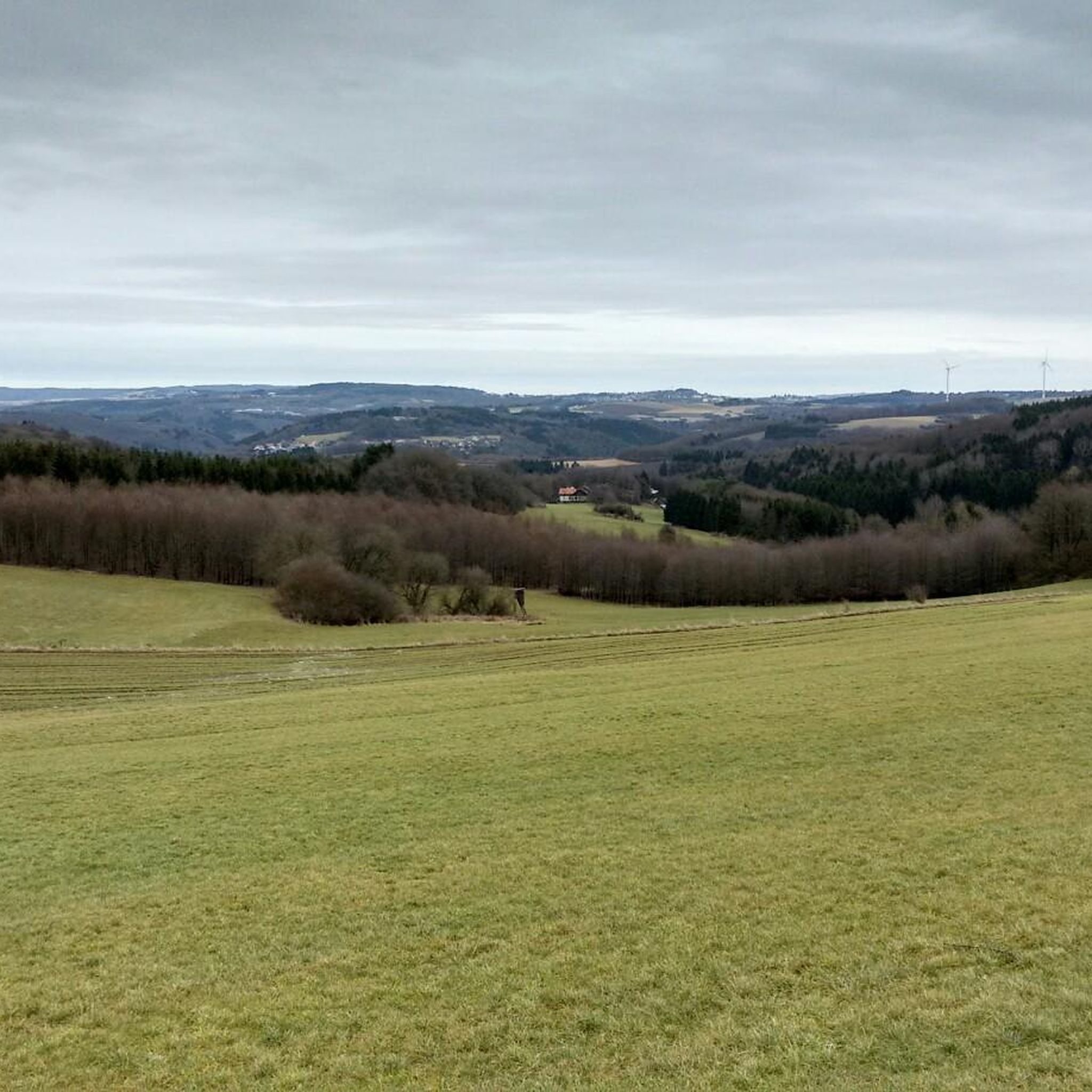
Gravel biking around Leitzweiler features diverse landscapes within the Saar-Hunsrück Nature Park, characterized by rolling hills and extensive forests. The region provides varied terrain, including natural paths and gravel surfaces, suitable for gravel cyclists. Proximity to the Nahe Valley also offers routes through broad floodplains and wooded mountain slopes. This area provides a mix of climbs and descents, appealing to the versatility of gravel bikes.
Best gravel bike trails around Leitzweiler
- The most popular gravel bike trail is View of…
Last updated: July 17, 2026
5.0
(6)
37
riders
56.9km
03:23
720m
720m
Hard gravel ride. Very good fitness required. Mostly paved surfaces. Suitable for all skill levels.
13
riders
28.1km
01:40
310m
310m
Moderate gravel ride. Good fitness required. Mostly paved surfaces. Suitable for all skill levels.

Sign up for free
5.0
(1)
5
riders
101km
05:46
900m
900m
Hard gravel ride. Very good fitness required. Mostly paved surfaces. Suitable for all skill levels.
5.0
(2)
7
riders
48.5km
03:08
720m
720m
Hard gravel ride. Very good fitness required. Mostly paved surfaces. Suitable for all skill levels.
5.0
(2)
14
riders
28.9km
01:37
310m
310m
Moderate gravel ride. Good fitness required. Mostly paved surfaces. Suitable for all skill levels.
Get access to more routes and recommendations from other explorers.
Sign up for free
Already have an account?
Our route recommendations are based on thousands of hikes, rides, and runs completed by other people on komoot.
Start today with a free account
Your next adventure awaits.
Login or Signup
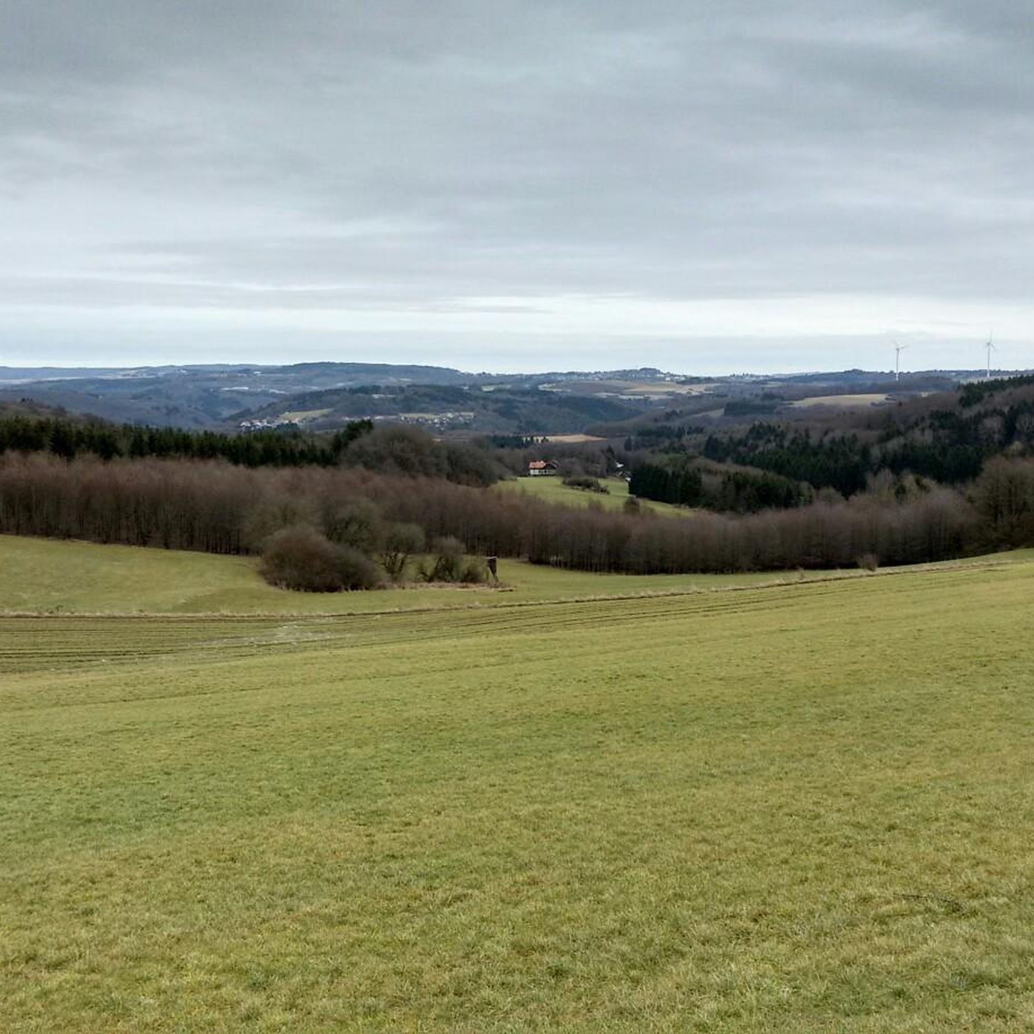
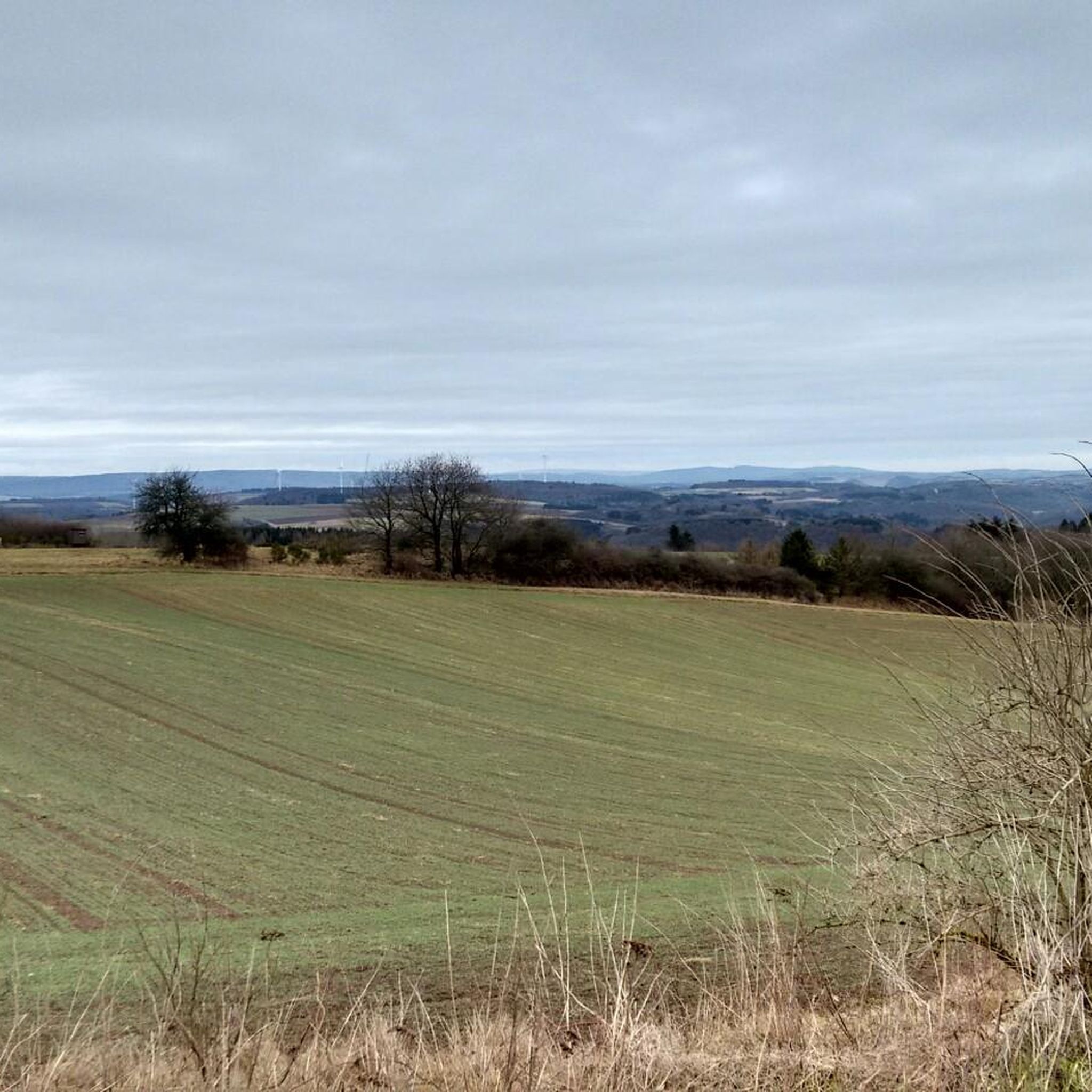
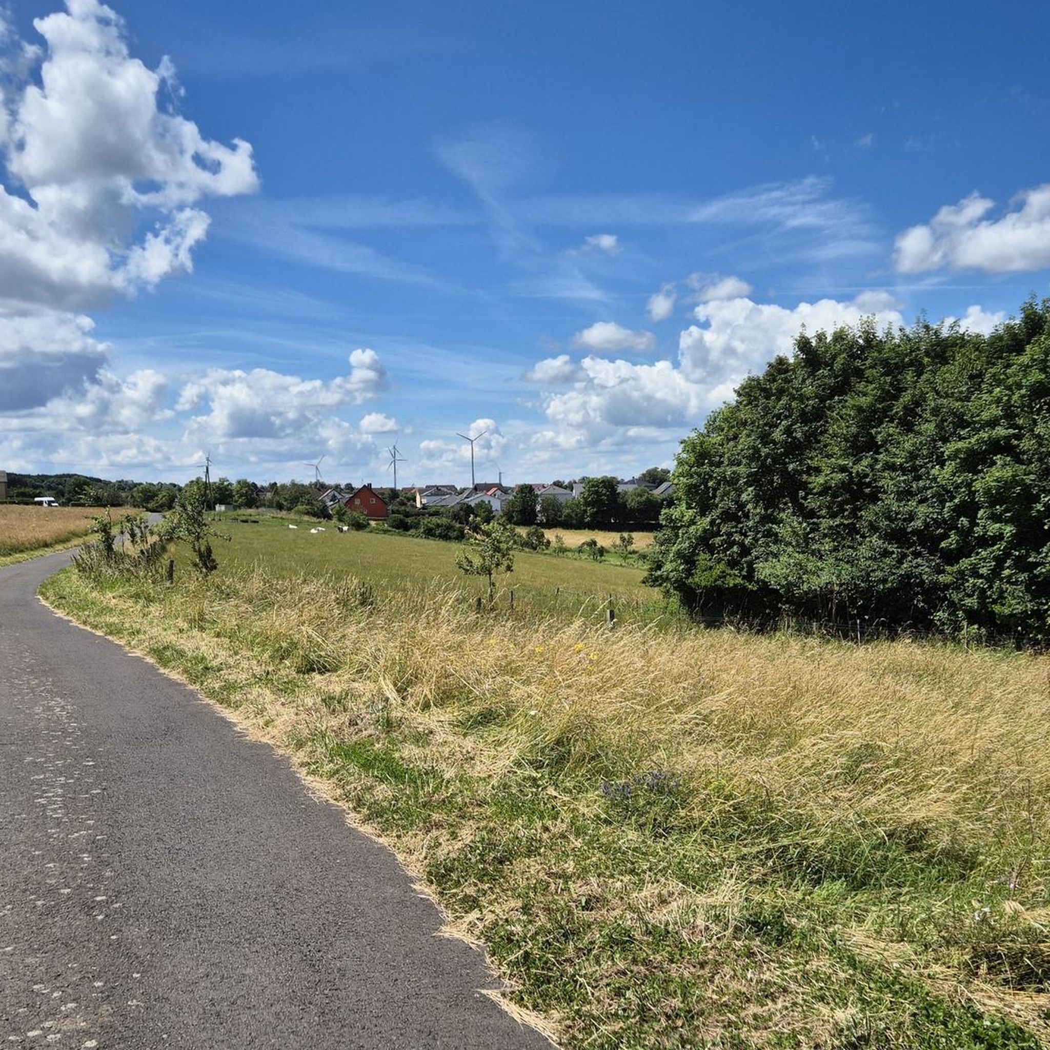
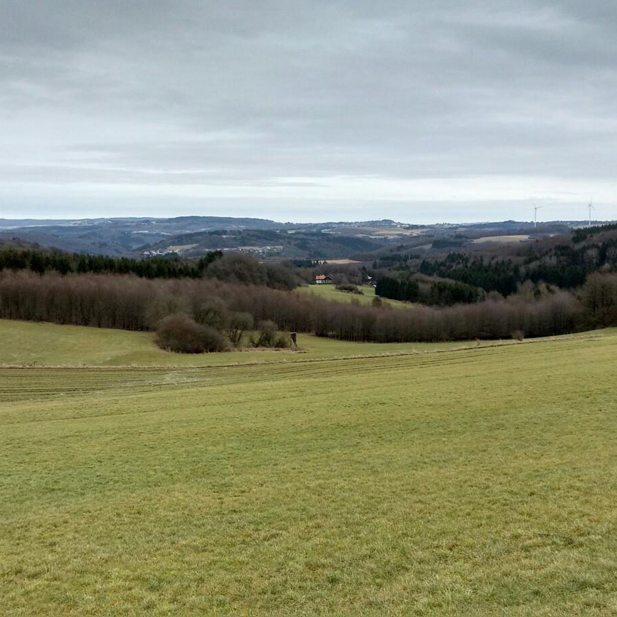
Tips from the Community


Good paths, clearly signposted, very beautiful views and photo opportunities
0
0

🌲 The Fun Forest Adventure Park Homburg is one of the largest and most diverse climbing parks in Germany. It is beautifully situated on a peninsula directly on the Brückweiher pond in the Jägersburg recreation area.
2
0

Great cycle path, super route
0
0

A beautiful vantage point overlooking the Nonnweiler reservoir. Perfect for a short break and to enjoy the scenery. Ideal for photos and relaxing moments by the water.
3
0
The circular trail around the Nonnweiler Reservoir offers relaxing nature experiences right by the water. On the well-maintained path, you'll enjoy magnificent views of the lake. Along the way, you'll find numerous places to linger and observe the birdlife. The route is family-friendly and ideal for hiking or cycling.
4
0
The Nonnweiler Dam is the largest drinking water reservoir in Saarland and a popular tourist destination. A beautiful circular trail leads directly along the water, offering magnificent views of the reservoir. Especially in summer, the tranquil surroundings invite you to relax and enjoy nature. The clear water and the dense forests surrounding it make this place unique.
3
0
The Nonnweiler Dam is the largest drinking water reservoir in Saarland and a popular tourist destination. A beautiful circular trail leads directly along the water, offering magnificent views of the reservoir. Especially in summer, the tranquil surroundings invite you to relax and enjoy nature. The clear water and the dense forests surrounding it make this place unique.
3
0
Frequently Asked Questions
How many gravel bike trails are available around Leitzweiler?
There are over 20 gravel bike trails around Leitzweiler, offering a diverse range of routes. You'll find options for various skill levels, with 7 moderate and 15 difficult routes to explore.
What kind of terrain can I expect on gravel bike trails in the Leitzweiler region?
The Leitzweiler region, situated within the Saar-Hunsrück Nature Park, features diverse terrain perfect for gravel biking. You'll encounter rolling hills, extensive forests, and natural paths, along with gravel surfaces. The nearby Nahe Valley also offers routes through broad floodplains and wooded mountain slopes, providing a mix of climbs and descents.
What is the best time of year for gravel biking around Leitzweiler?
The best seasons for gravel biking around Leitzweiler are spring and summer. During these months, the weather is most favorable for exploring the region's natural beauty and diverse landscapes.
Are there any family-friendly gravel biking options near Leitzweiler?
While many routes in the Leitzweiler area are rated moderate to difficult, the region's extensive network of paths within the Saar-Hunsrück Nature Park often includes sections suitable for families. Look for routes that utilize former railway lines or flatter sections in the Nahe Valley for a more relaxed experience. Always check the route details on komoot for specific difficulty and terrain information.
Can I find circular gravel bike routes in the Leitzweiler area?
Yes, many gravel bike routes around Leitzweiler are designed as loops. For example, the Oberkirchener Tunnel – Old Railway Bridge loop from Oberkirchen is a popular moderate circular path, guiding riders through varied terrain. Another option is the Lichtenberg Castle – Old Railway Bridge loop from Baumholder, which leads through forested areas and past historical points of interest.
What historical landmarks or viewpoints can I see along the gravel bike trails?
The region offers several interesting sights. You can pass by the historic Oberkirchen Viaduct or explore routes that lead past Lichtenberg Castle. For scenic views, consider trails that offer a View of Bostalsee from the dam.
Are there any places to rest or have a picnic along the routes?
Yes, you'll find several spots for rest and picnics. Highlights include the Waldhaus Grill Hut (Baumholder City Forest), a Rest area at the source of the Auersbach, and the Selbach Shelter and Picnic Area. Many routes also feature designated rest areas, such as the Rest Area on the Sankt Wendeler Land Rail Trail.
What do other gravel bikers enjoy most about the Leitzweiler trails?
The gravel biking routes around Leitzweiler are highly rated by the komoot community, with an average score of 4.9 stars from over 10 reviews. Riders often praise the diverse landscapes, the mix of challenging climbs and scenic descents, and the opportunity to explore the natural beauty of the Saar-Hunsrück Nature Park.
Are there any routes that pass by lakes or water features?
Yes, some routes offer views of water features. The View of Bostalsee from the dam – Wendelinus Cycle Path loop from Hoppstädten (Nahe) provides scenic vistas of Bostalsee. Additionally, the Fischwaid Birkenfeld pond complex is another water-related highlight in the vicinity.
How long are the typical gravel bike routes in Leitzweiler?
Gravel bike routes around Leitzweiler vary in length. You can find challenging long-distance tours like the View of Bostalsee from the dam – Wendelinus Cycle Path loop from Hoppstädten (Nahe), which is nearly 60 km. There are also shorter options, such as the View of the Flurskapelle in Ulmet – Altenglan Draisine Station loop from Baumholder, which covers about 50 km, or the Oberkirchen Viaduct – Oberkirchener Tunnel loop from Baumholder at around 38 km.
Is public transport available to access gravel bike trails near Leitzweiler?
Leitzweiler is located within the Saar-Hunsrück Nature Park. While specific public transport links directly to trailheads might be limited, the wider Rhineland-Palatinate region has a focus on cycling infrastructure. It's advisable to check local bus or train schedules for connections to larger towns near trail starting points, such as Hoppstädten (Nahe) or Baumholder, and plan your route accordingly.
Are there any beginner-friendly gravel bike trails in the area?
While many routes feature moderate to difficult sections, beginners can look for trails that utilize former railway lines or flatter paths, particularly in the Nahe Valley, which offers broad floodplains. Always check the route's elevation profile and difficulty rating on komoot to ensure it matches your skill level.
Most popular routes around Leitzweiler
Most popular attractions around Leitzweiler

Get inspired with the komoot mobile app


Explore more
Browse the best Gravel rides in other regions.
