The best gravel rides around St. Kilian
4.6
(47)
219
riders
43
rides
Gravel biking around St. Kilian offers diverse natural landscapes within Thuringia, Germany. The region is characterized by its forested hills and elevated terrain, providing varied topography for cycling. Wide forest paths and gravel passages are common, making the area well-suited for gravel biking. The Rennsteig, a historic ridge trail, also traverses parts of this natural landscape.
Best gravel bike trails around St. Kilian
- The most popular gravel bike trail is Schönbrunn Reservoir – Schönbrunn Reservoir loop from Frauenwald, a…
Last updated: October 6, 2026
5.0
(1)
15
riders
21.6km
01:29
480m
480m
Hard gravel ride. Very good fitness required. Mostly paved surfaces. Suitable for all skill levels.
3.0
(3)
12
riders
32.9km
02:24
680m
680m
Hard gravel ride. Very good fitness required. Mostly paved surfaces. Suitable for all skill levels.

4.7
(7)
10
riders
50.9km
03:28
1,060m
1,060m
Hard gravel ride. Very good fitness required. You may need to push your bike for some segments of this route.
4.5
(4)
14
riders
Moderate gravel ride. Good fitness required. Mostly paved surfaces. Suitable for all skill levels.
4.8
(4)
18
riders
Hard gravel ride. Very good fitness required. Mostly paved surfaces. Suitable for all skill levels.
Get access to more routes and recommendations from other explorers.
Already have an account?
Our route recommendations are based on thousands of hikes, rides, and runs completed by other people on komoot.
Start today with a free account
Your next adventure awaits.
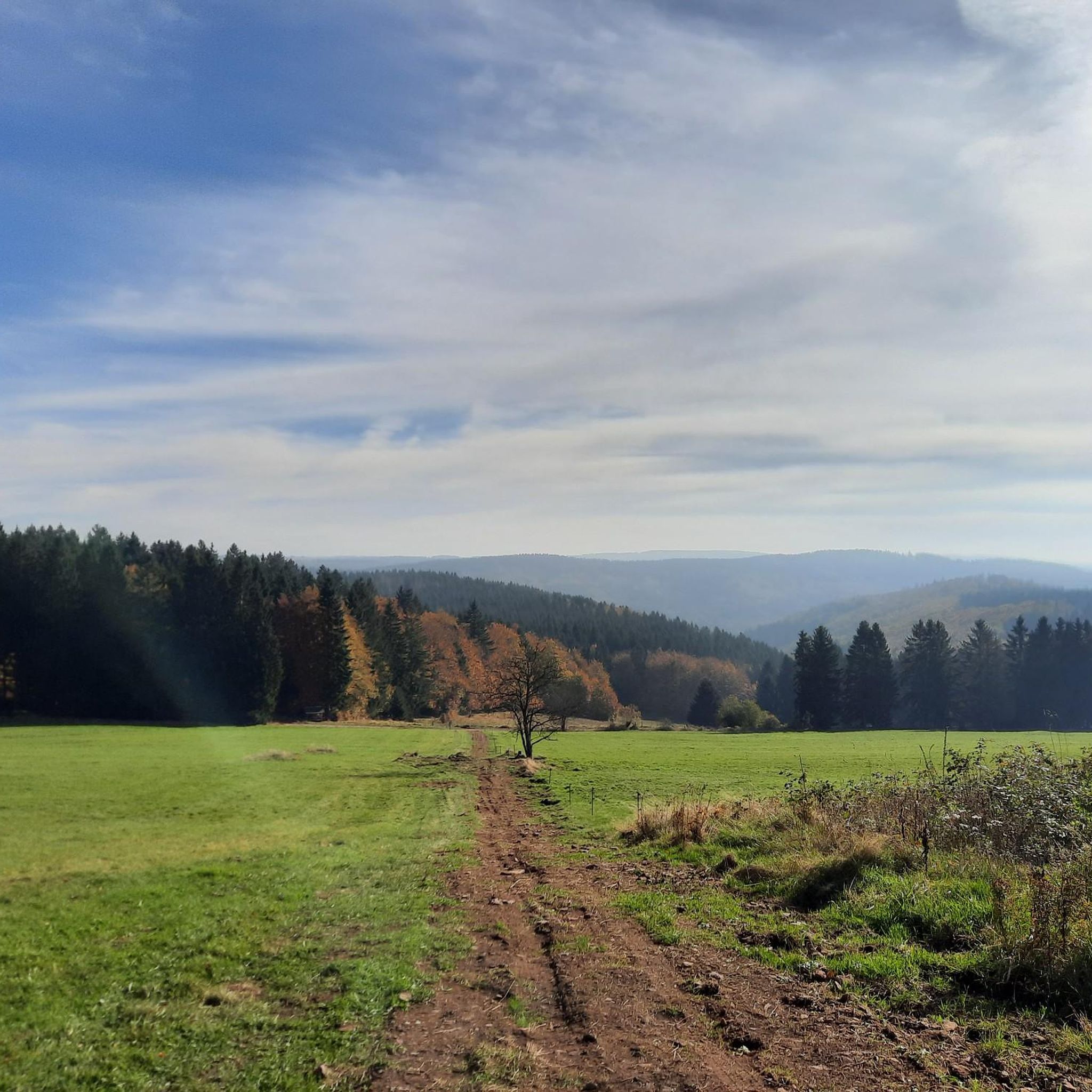
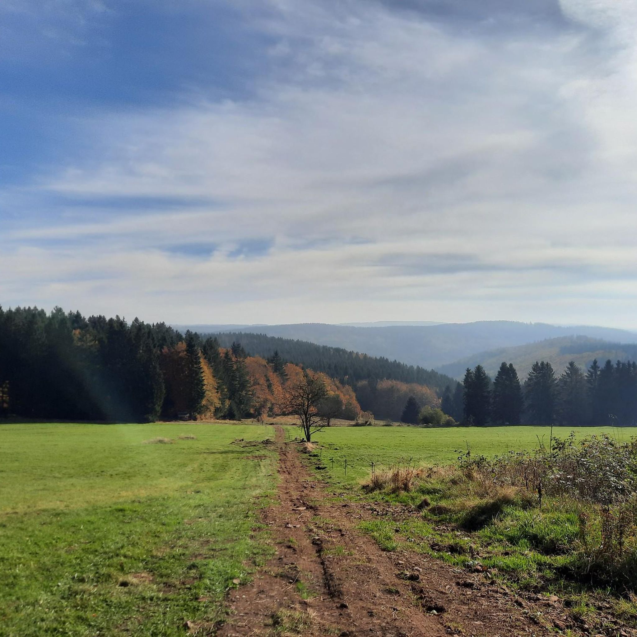

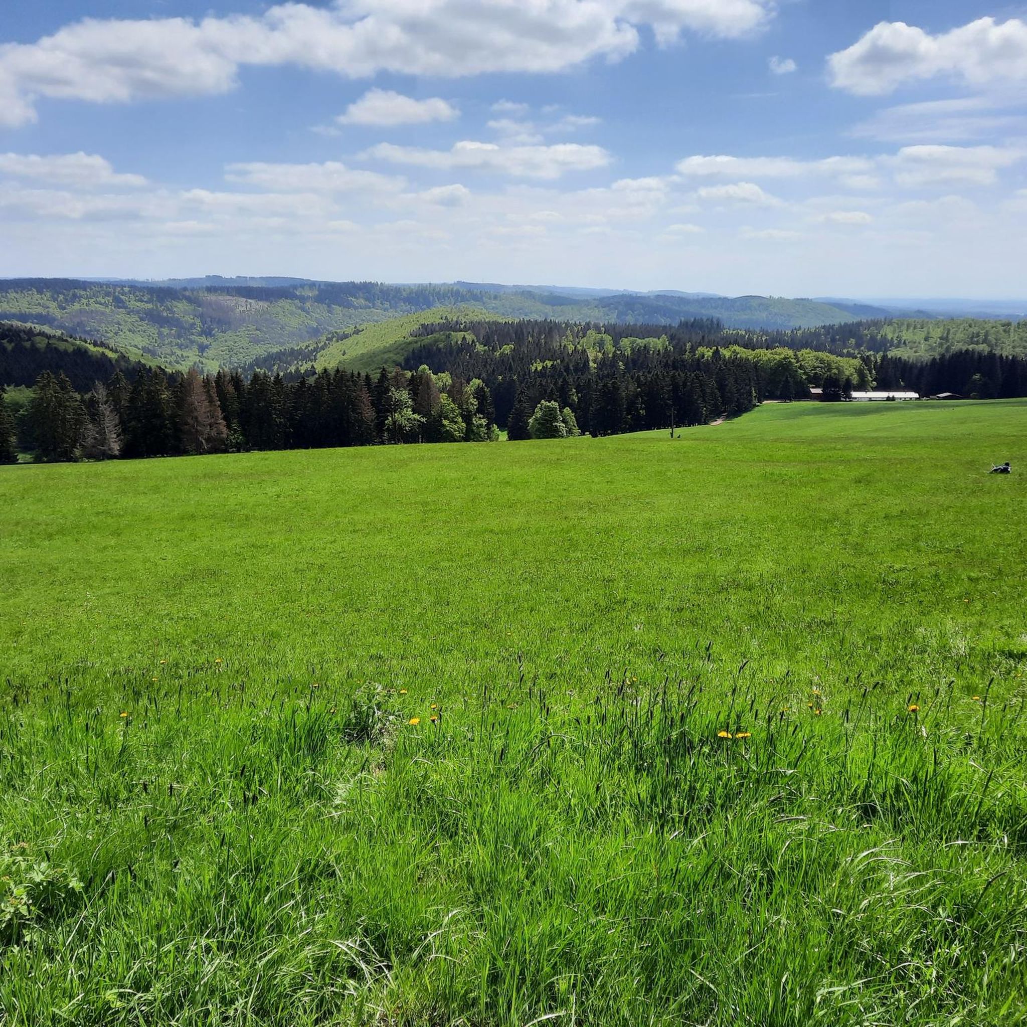
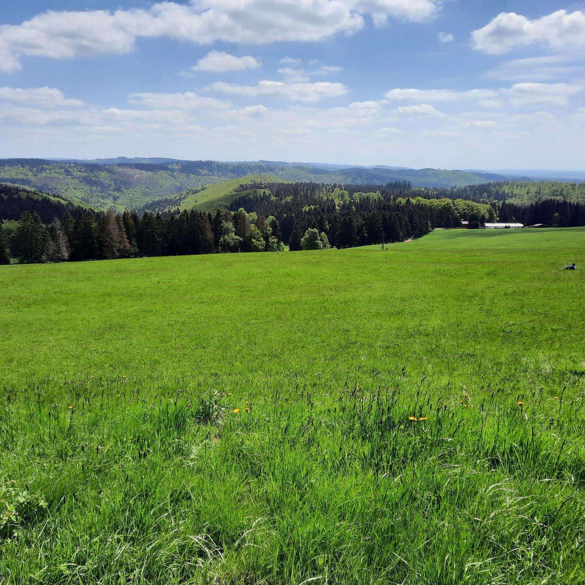
Tips from the Community

The loop around the Schönbrunn reservoir is about 14 km. There are enough resting places and views to enjoy are included anyway.
0
0

Top location on the Rennsteig: The proximity to the famous ridge trail allows for a combination of forest descents and ridge tours. Varied topography: Steep ascents from the Tannengrund or Reuscheltal demand stamina, but reward with brisk descents. Nature experience: The reservoir, with its bays, is reminiscent of a small fjord landscape in the middle of the dense low mountain forest. Tour combinations: Perfect as a stopover or turning point for larger loops, which often start in Schleusingen or Masserberg.
3
0
The Schönbrunn dam is located in the southern Thuringian Forest in the municipality of Schleusegrund (Hildburghausen district, Thuringia). It was commissioned in 1977. The dam is located about 20 kilometers south of Ilmenau and 15 kilometers northeast of Schleusingen. The river Schleuse is dammed. Source: https://de.wikipedia.org/wiki/Talsperre_Sch%C3%B6nbrunn#:~:text=Die%20Talsperre%20Sch%C3%B6nbrunn%20liegt%20im,Gestaut%20wird%20der%20Fluss%20Schleuse.
3
0
The Schönbrunn dam in the Thuringian Forest is attractive for mountain biking due to its charming combination of idyllic, flat shore paths and challenging, hilly ascents in the surrounding mountainous terrain around the Rennsteig. The circuit offers constant views of the blue water of the reservoir and the forest-rich heights of the Thuringian Forest.
3
0

Large intersection with many small roads.
2
0


On the Rennsteig cycle path to the Bierfleck crossroads, there are a variety of options for one destination!
2
0
Frequently Asked Questions
How many gravel bike trails are available around St. Kilian?
There are nearly 60 gravel bike trails documented around St. Kilian on komoot, offering a wide range of options for exploring the Thuringian Forest.
What kind of terrain can I expect on gravel bike trails in St. Kilian?
The region around St. Kilian is characterized by its forested hills and elevated terrain within the Thuringian Forest. You'll encounter wide forest paths and gravel passages, making it ideal for gravel biking. The historic Rennsteig trail, known for its natural landscapes, also traverses parts of this area.
Are there gravel bike routes suitable for beginners in St. Kilian?
While the majority of routes around St. Kilian are rated as moderate or difficult, there are options that cater to varying skill levels. It's always recommended to check the specific route details on komoot for elevation gain and distance to find a trail that matches your experience.
Are there any circular gravel bike routes in St. Kilian?
Yes, many of the gravel bike routes in St. Kilian are designed as loops. For example, you can explore the Schönbrunn Reservoir – Schönbrunn Reservoir loop from Frauenwald, which offers a scenic ride around the reservoir.
What are some scenic viewpoints or natural attractions accessible by gravel bike in St. Kilian?
The region offers several stunning viewpoints. You can ride towards the Schneekopf Summit and Observation Tower, which provides magnificent panoramic views of the Thuringian Forest. Another notable spot is the Kickelhahn Tower, a historic lookout with a restaurant.
Are there any places to stop for refreshments or food along the gravel bike trails?
Yes, for example, the Neue Gehlberger Hütte on Schneekopf is the highest-altitude serviced hut in Thuringia, offering traditional cuisine and a comfortable rest stop for cyclists.
What do other gravel bikers enjoy most about the trails in St. Kilian?
The gravel bike trails in St. Kilian are highly rated by the komoot community, with an average score of 4.6 stars from over 30 reviews. Riders often praise the diverse natural landscapes, the challenging yet rewarding elevated terrain, and the extensive network of wide forest paths and gravel passages.
Can I find longer gravel bike tours around St. Kilian?
Absolutely. If you're looking for a longer ride, consider the Highest Point of the Rennsteig – Bierfleck Trail Junction loop from Schleusingen, which covers over 50 kilometers and includes significant elevation gain, offering an extended adventure through the Thuringian Forest.
Are there any historical sites or castles I can visit near the gravel bike routes?
Yes, the area around St. Kilian is rich in history. You could explore the Bertholdsburg Castle in Schleusingen or the Osterburg Castle Ruins (Keep), which are accessible from various points in the region.
What is the best season for gravel biking in St. Kilian?
The Thuringian Forest offers beautiful scenery throughout the year. While spring and autumn provide vibrant colors and pleasant temperatures, summer is also excellent for exploring. Winter conditions can bring snow, making some trails more challenging or requiring specific equipment, so always check local conditions before heading out.
Are there any routes that offer views of the Schönbrunn Reservoir?
Yes, several routes provide picturesque views of the Schönbrunn Reservoir. A popular option is the View of the Schönbrunn Reservoir – View of the Schönbrunn Reservoir loop from Waldau, which takes you through forested hills with scenic overlooks of the water.
Most popular routes around St. Kilian
Most popular attractions around St. Kilian

Get inspired with the komoot mobile app


Explore more
Browse the best Gravel rides in other regions.
