The best gravel rides around Blankenhain
4.1
(34)
145
riders
42
rides
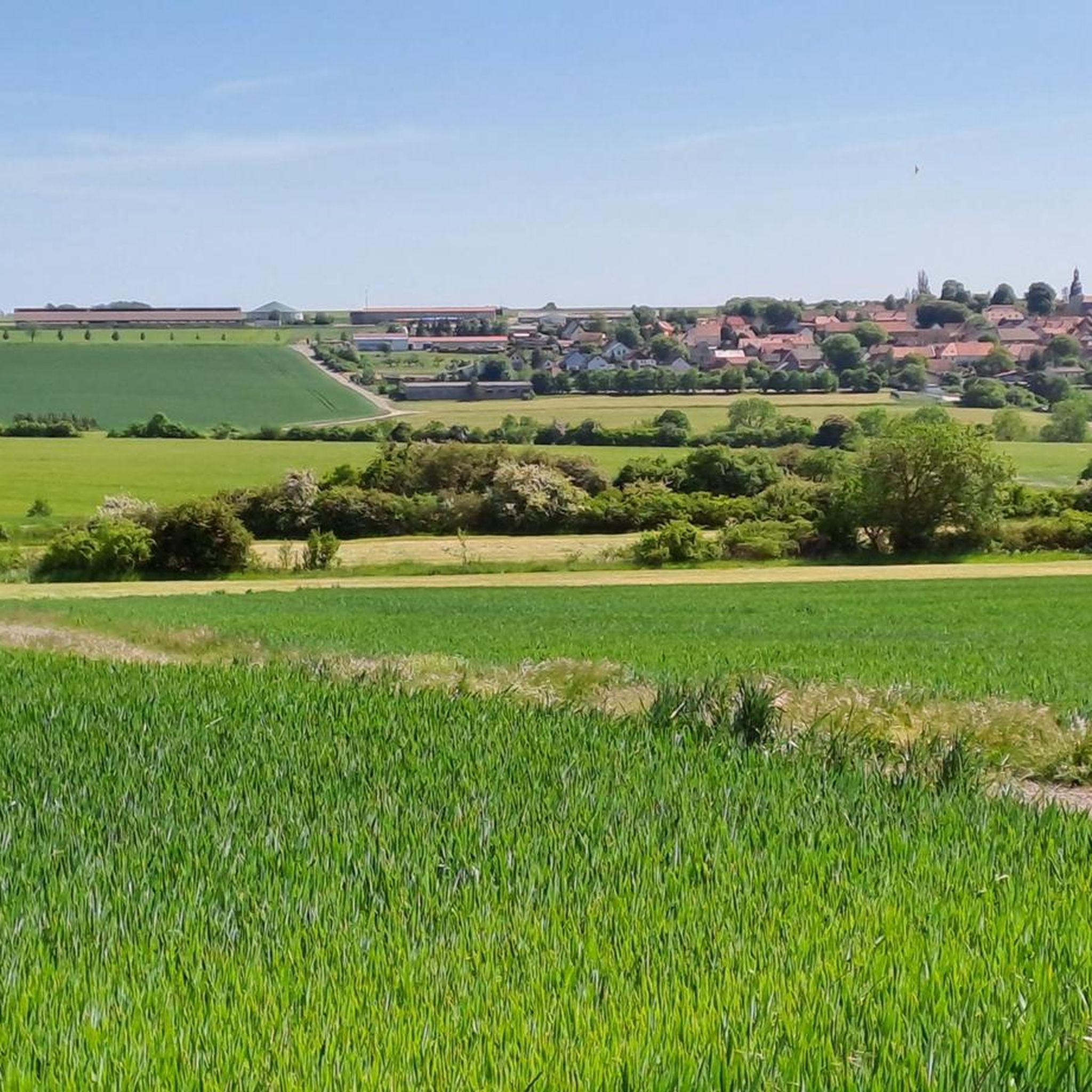
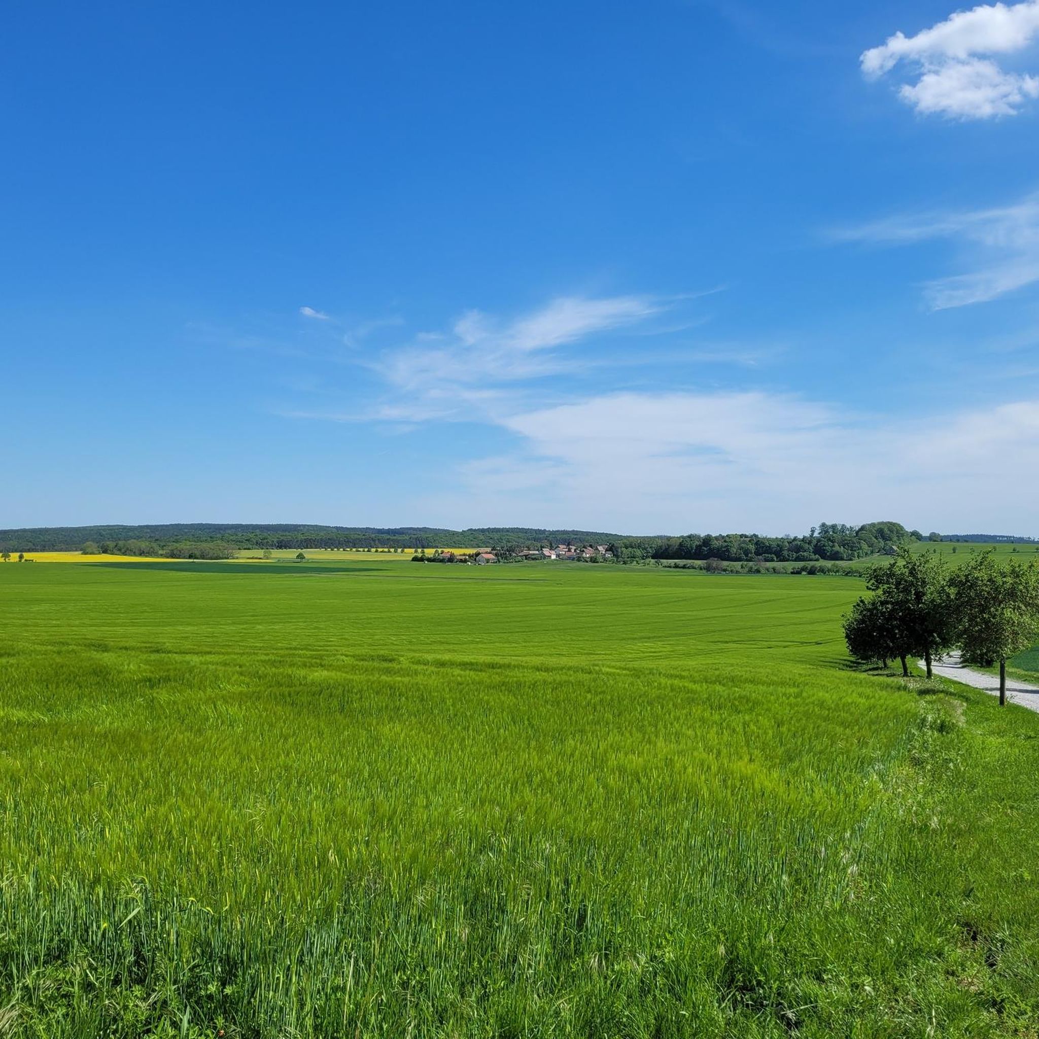
Gravel biking around Blankenhain offers diverse landscapes in the Weimarer Land district of Thuringia, Germany. The region features rolling hills and dense forests, particularly west of the town as part of the Ilm-Saale-Platte geological formation. River valleys carved by the Ilm and Saale provide scenic routes, while the Seeteich, a 20-hectare pond, adds a significant natural feature. This varied terrain provides a range of gravel bike trails suitable for different fitness levels.
Best gravel bike trails around Blankenhain
- The most…
Last updated: October 6, 2026
4.7
(14)
68
riders
50.5km
02:52
530m
530m
Hard gravel ride. Very good fitness required. Mostly paved surfaces. Suitable for all skill levels.
4.3
(3)
17
riders
Hard gravel ride. Very good fitness required. Mostly paved surfaces. Suitable for all skill levels.

7
riders
36.8km
02:23
550m
550m
Hard gravel ride. Very good fitness required. Mostly paved surfaces. Suitable for all skill levels.
3.8
(5)
13
riders
22.1km
01:24
200m
200m
Moderate gravel ride. Good fitness required. Mostly paved surfaces. Suitable for all skill levels.
4.5
(2)
2
riders
13.0km
01:00
300m
300m
Moderate gravel ride. Good fitness required. Mostly paved surfaces. Suitable for all skill levels.
Get access to more routes and recommendations from other explorers.
Already have an account?
Our route recommendations are based on thousands of hikes, rides, and runs completed by other people on komoot.
Start today with a free account
Your next adventure awaits.
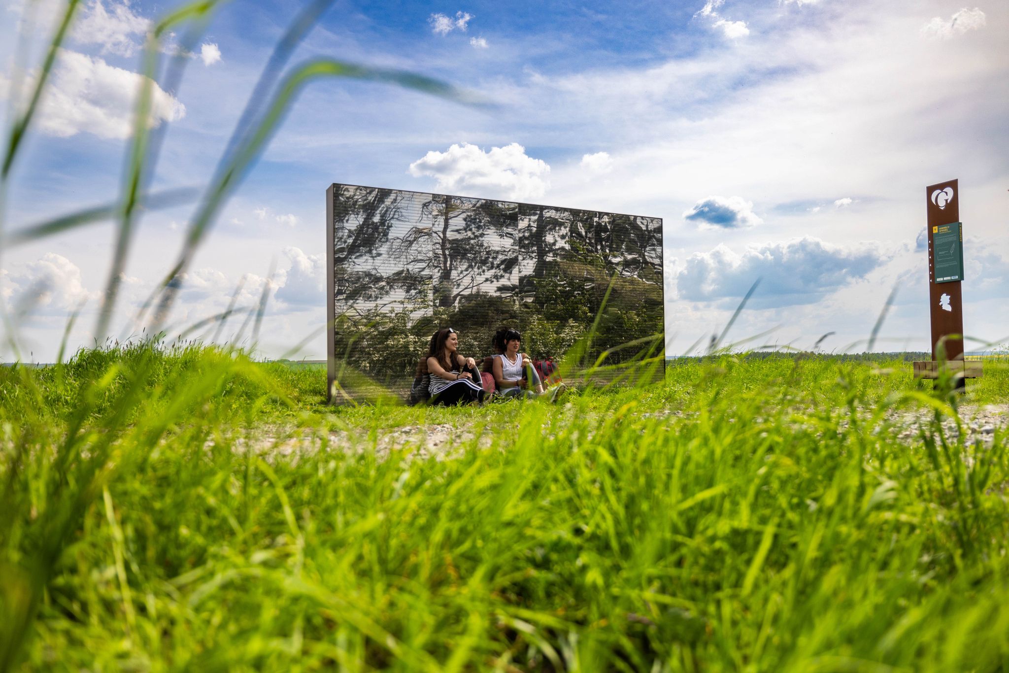
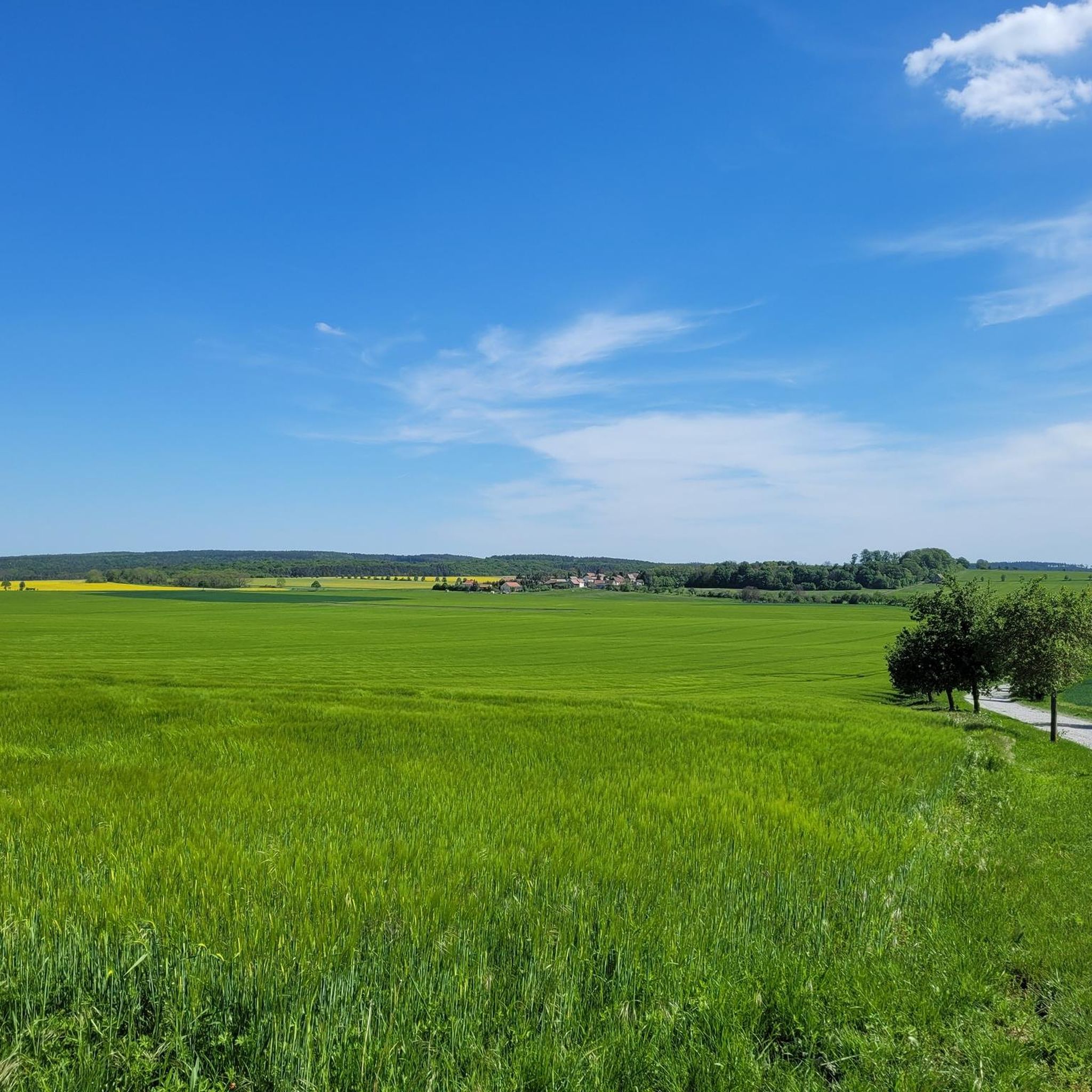
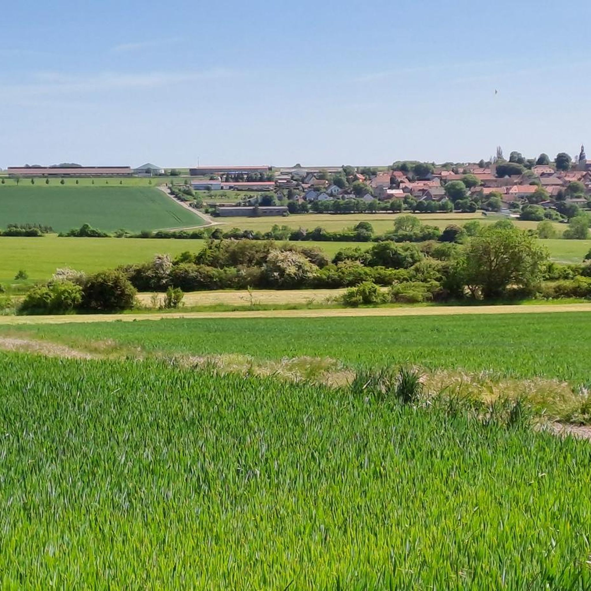
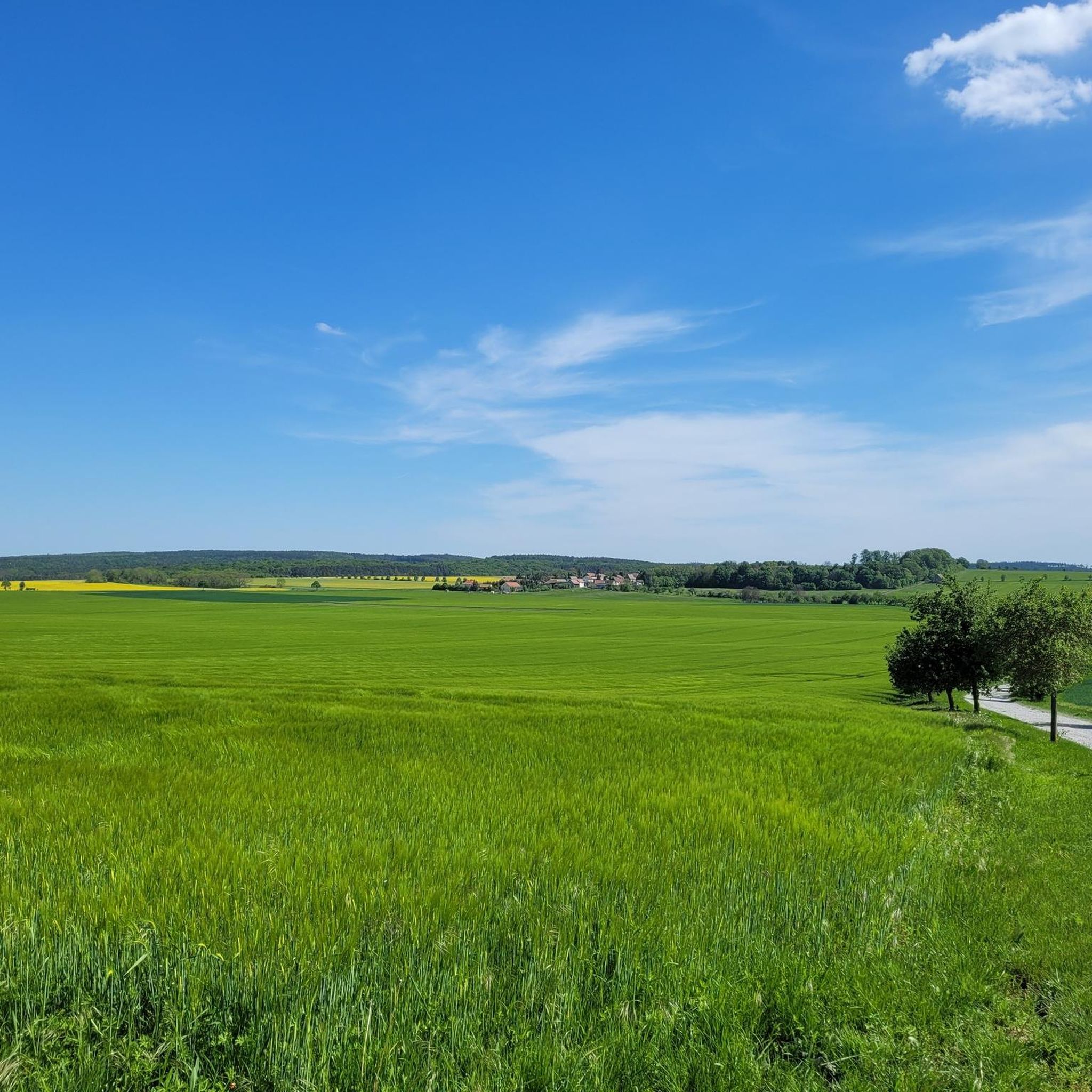
Other adventures around Blankenhain

Tips from the Community

A little over 100 year old covered wooden bridge.
1
0

Easy-to-ride cycle path, partly gravel, otherwise good asphalt...
0
0

🏛️ History & Culture - First mentioned: 1119 – In 2019, the town celebrated its 900th anniversary. - Spa tradition: A spa town since 1813, with Goethe's direct involvement in the construction of the bathing establishment. - Origin of the name: "Berka" means something like "birch trees by the water"
1
0
🏞️ Landscape & Location - Buchfart lies directly on the Ilm River, nestled in a narrow valley with steep, wooded limestone slopes. - The surrounding area is ideal for hikes, especially to the Balsamine, a viewpoint at an altitude of 340 meters. - The Ilm River winds its way through the valley here and offers a spectacular display of colors in autumn. --- 🕰️ History - First documented mention: 1348, by the knight Lutolf von Heitingsburg. - The place name is derived from "Furt" and "Buchenwald" – hence "Buchfart." - The area was already settled in the Neolithic period, as archaeological finds confirm. - The Buchfart Castle, a castle complex in the limestone cliff above the town, is shrouded in legend and was explored by the mineralogist Georgius Agricola as early as 1551. --- 🏛️ Sights - Historic Water Mill: The Pfeiffer Mill has been lovingly restored and now houses a meeting center for millers, a farm shop, and even a small village brewery. - Ilm Bridge: An old stone bridge connects the village districts and is a popular photo opportunity. - Village Church: Simple yet charming – a place of peace and history. --- 🧙♂️ Legends & Myths - The Buchfarter Caves are the setting for numerous legends – from ghosts guarding treasures to little men who lead bricklayers into underground passages. - The Schlossberg is also shrouded in legend and offers exciting stories for curious hikers.
0
0
🏞️ Geography & Nature - The Ilm River has carved its way deep into the Muschelkalk here, forming a beautiful valley. - South of the town rises the Kaitsch, a wooded ridge ideal for hiking. 🕰️ History - First documented mention: 1376, in a charter by the knight Rudolf von Kühnhausen for the Berka Monastery. - Oettern was part of the Grand Duchy of Saxe-Weimar-Eisenach and later of the German Democratic Republic. - The town repeatedly struggled with flooding, which explains its location on the Ilm River. 🏛️ Sights - Protestant village church with historic charm. - Stone arched bridge over the Ilm from 1856. - Watermill with a small mill museum. - Otternburg ramparts: A prehistoric fortification on a mountain spur with finds from the Neolithic and Hallstatt periods. 🎶 Personalities - Ernst Bauchspieß, also known as Severus Gastorius (1646–1682), was a cantor and Baroque composer from Oettern.
1
0

Great wooden bridge 🤩. But be careful, it's still busy in places.
16
0

small fountain ⛲️ in a beautiful atmospheric location
2
0

The Fairy Tale Fountain is a well-visited place and a very popular meeting place in the Jena-Paradies city park.
1
0
Frequently Asked Questions
How many gravel bike trails are available around Blankenhain?
There are over 60 gravel bike routes available around Blankenhain, offering a wide variety of options for different skill levels and preferences. The komoot community has explored these trails over 500 times.
What is the general difficulty level of gravel biking routes in Blankenhain?
The gravel biking routes around Blankenhain cater to a range of abilities. While there are a few easy routes, the majority are classified as moderate (over 30 routes) or difficult (over 20 routes), often featuring challenging climbs and varied terrain. For example, the Hohenfelden Reservoir – Carl Friedrich Spring loop from Blankenhain is considered difficult due to its varied terrain.
What kind of landscapes can I expect to see on gravel bike trails near Blankenhain?
Gravel biking in Blankenhain offers diverse landscapes. You'll encounter rolling hills and dense forests, especially west of the town as part of the Ilm-Saale-Platte. The Ilm and Saale rivers carve beautiful valleys, providing scenic routes. A significant natural feature is the Seeteich, a large pond known for its biodiversity, which you might pass through or near on some routes.
Are there any notable natural attractions or landmarks along the gravel routes?
Yes, the region offers several interesting sights. You might discover natural features like the Waterfall and Old Railway Tracks near Bergern or explore the unique Mörlagraben. The Seeteich, a large natural pond, is also a prominent natural monument in the area. For those interested in historical sites, the region also features castles and charming villages.
What do other gravel bikers say about the trails in Blankenhain?
The gravel trails in Blankenhain are highly regarded by the komoot community, with an average rating of 4.3 stars from over 90 reviews. Riders often praise the diverse terrain, scenic views, and the well-maintained paths that make for an enjoyable experience.
Are there any family-friendly gravel biking options around Blankenhain?
While many routes are moderate to difficult, some sections of the Ilmtal cycle path, which passes through the region, offer more gentle terrain suitable for families. Look for routes with lower elevation gain and shorter distances if cycling with children.
Can I bring my dog on the gravel bike trails in Blankenhain?
Generally, dogs are welcome on many outdoor trails in Germany, including gravel paths, provided they are kept on a leash, especially in nature reserves or near wildlife. Always be mindful of local regulations and other trail users. It's advisable to check specific trail rules if you plan to visit a designated nature area.
What is the best time of year for gravel biking in Blankenhain?
The best time for gravel biking in Blankenhain is typically from spring through autumn (April to October). During these months, the weather is generally mild, and the natural scenery, from lush forests to river valleys, is at its most vibrant. Winter can be challenging due to colder temperatures and potential snow or ice, though some experienced riders may still venture out.
Are there any circular gravel routes available?
Yes, many of the gravel routes around Blankenhain are designed as loops, allowing you to start and end at the same point. For example, the Jena Paradise Park – Forest Descent Towards Jena loop from Niedersynderstedt is a popular circular option, as is the Weimar Market Square – Ilmtal Cycle Path loop from Bad Berka.
Where can I park my car when starting a gravel bike tour in Blankenhain?
Blankenhain and nearby towns like Bad Berka or Niedersynderstedt typically offer public parking facilities. When planning your route, check the starting point for available parking options. Many komoot tours, such as the Saale River at Maua – Paradise Park, Jena loop from Bad Berka, start from locations with accessible parking.
Are there any cafes or pubs along the gravel routes in the Blankenhain area?
Yes, as you explore the region, you'll find opportunities to stop at cafes or pubs in the smaller towns and villages. Blankenhain itself has amenities, and routes passing through areas like Bad Berka or near the Hohenfelden Reservoir often have options for refreshments. It's a good idea to check opening times, especially in smaller, more rural locations.
Can I reach the gravel trails using public transport with my bike?
Public transport options, including regional trains and buses, serve Blankenhain and the surrounding Weimarer Land district. Many services allow bikes, though there might be restrictions during peak hours or for larger groups. It's recommended to check the specific transport provider's rules and schedules regarding bike carriage before you travel.
Most popular routes around Blankenhain
Most popular attractions around Blankenhain

Get inspired with the komoot mobile app


Explore more
Browse the best Gravel rides in other regions.
