The best gravel rides around Hochkirch
4.4
(22)
74
riders
13
rides
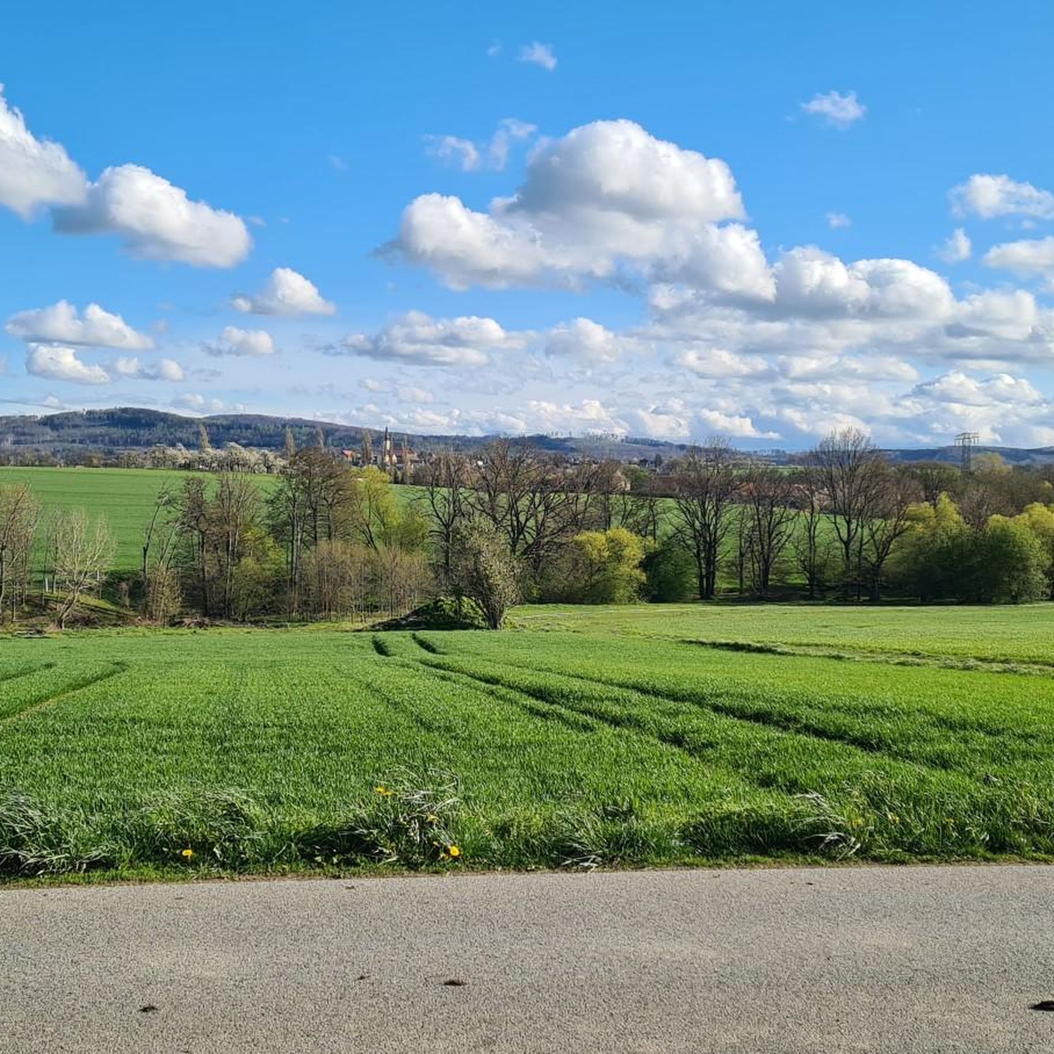
Gravel biking around Hochkirch features routes that traverse varied terrain, including former railway lines and scenic lake and pond landscapes. The region's gravel bike trails often follow converted rail trails, offering relatively consistent gradients. Riders can expect a mix of open paths around water bodies and routes that may include some elevation gain, providing diverse gravel biking Hochkirch routes. This area provides a diverse setting for gravel biking, from longer loops around significant lakes to paths through distinct pond…
Last updated: November 2, 2026
1.0
(1)
8
riders
Moderate gravel ride. Good fitness required. Mostly paved surfaces.
5.0
(1)
7
riders
80.0km
04:29
310m
310m
Moderate gravel ride. Good fitness required. Mostly paved surfaces.

5
riders
78.2km
04:14
290m
290m
Moderate gravel ride. Good fitness required. Mostly paved surfaces.
5.0
(1)
5
riders
Hard gravel ride. Very good fitness required. Mostly paved surfaces.
2
riders
Hard gravel ride. Very good fitness required. Mostly paved surfaces.
Get access to more routes and recommendations from other explorers.
Already have an account?
Our route recommendations are based on thousands of hikes, rides, and runs completed by other people on komoot.
Start today with a free account
Your next adventure awaits.
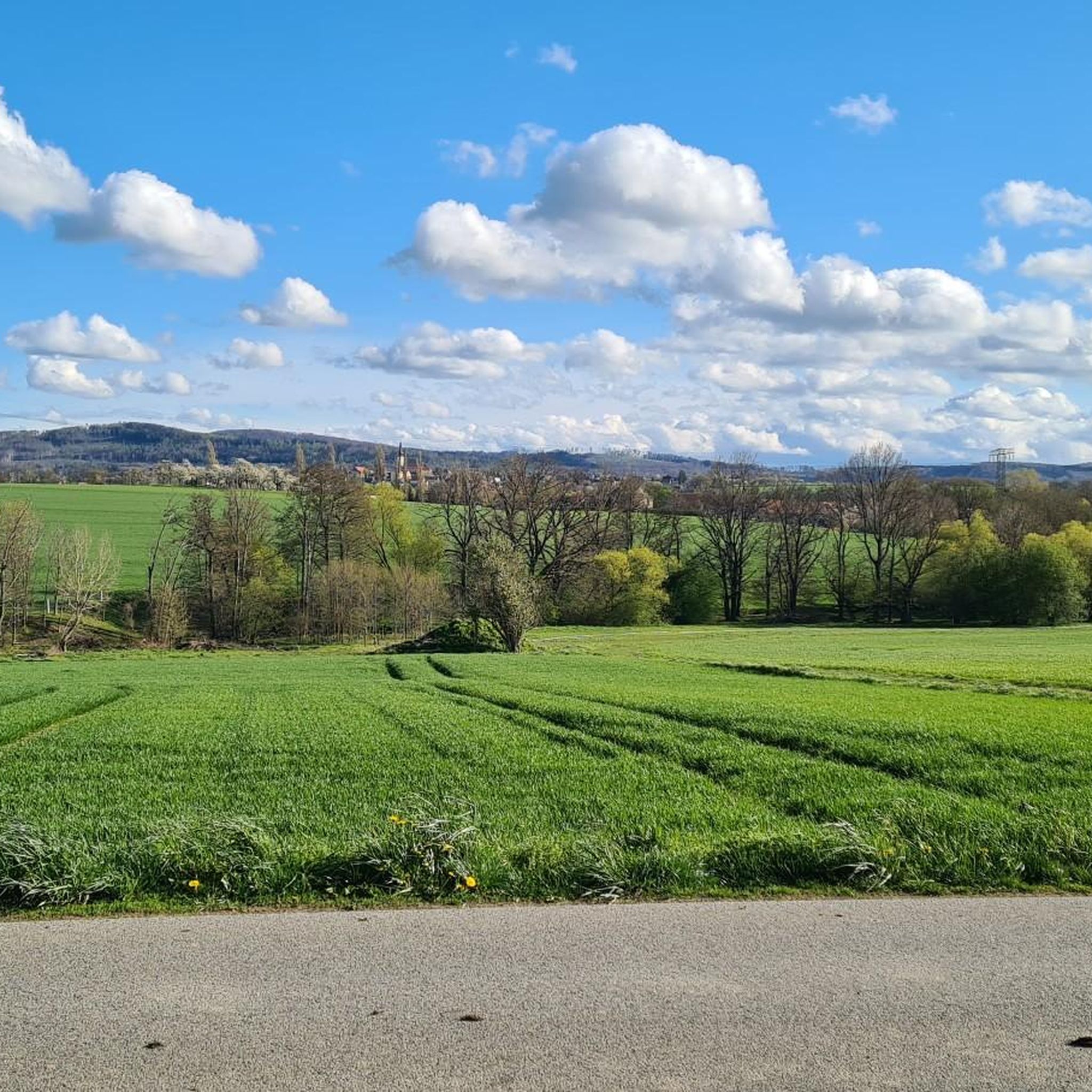
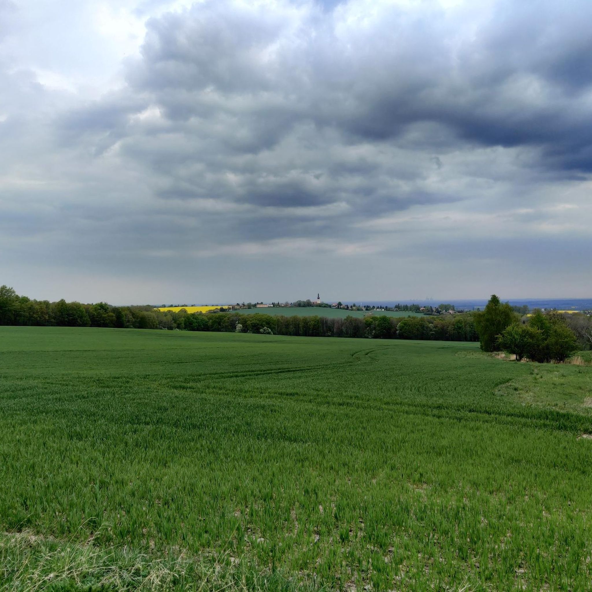
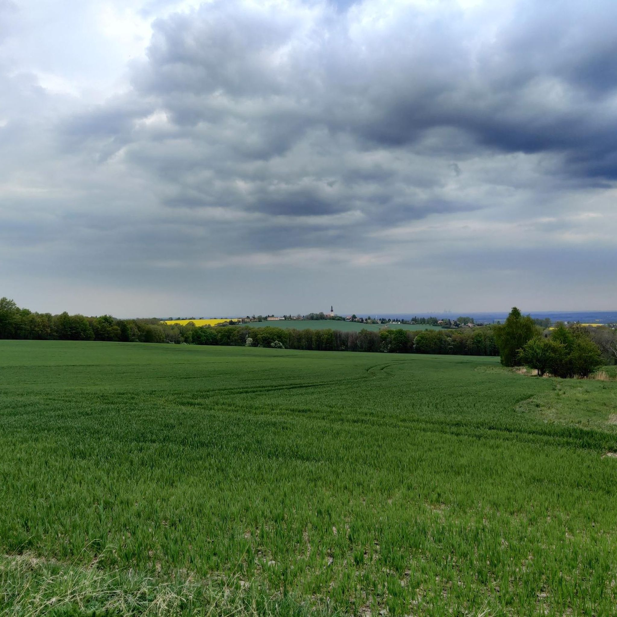
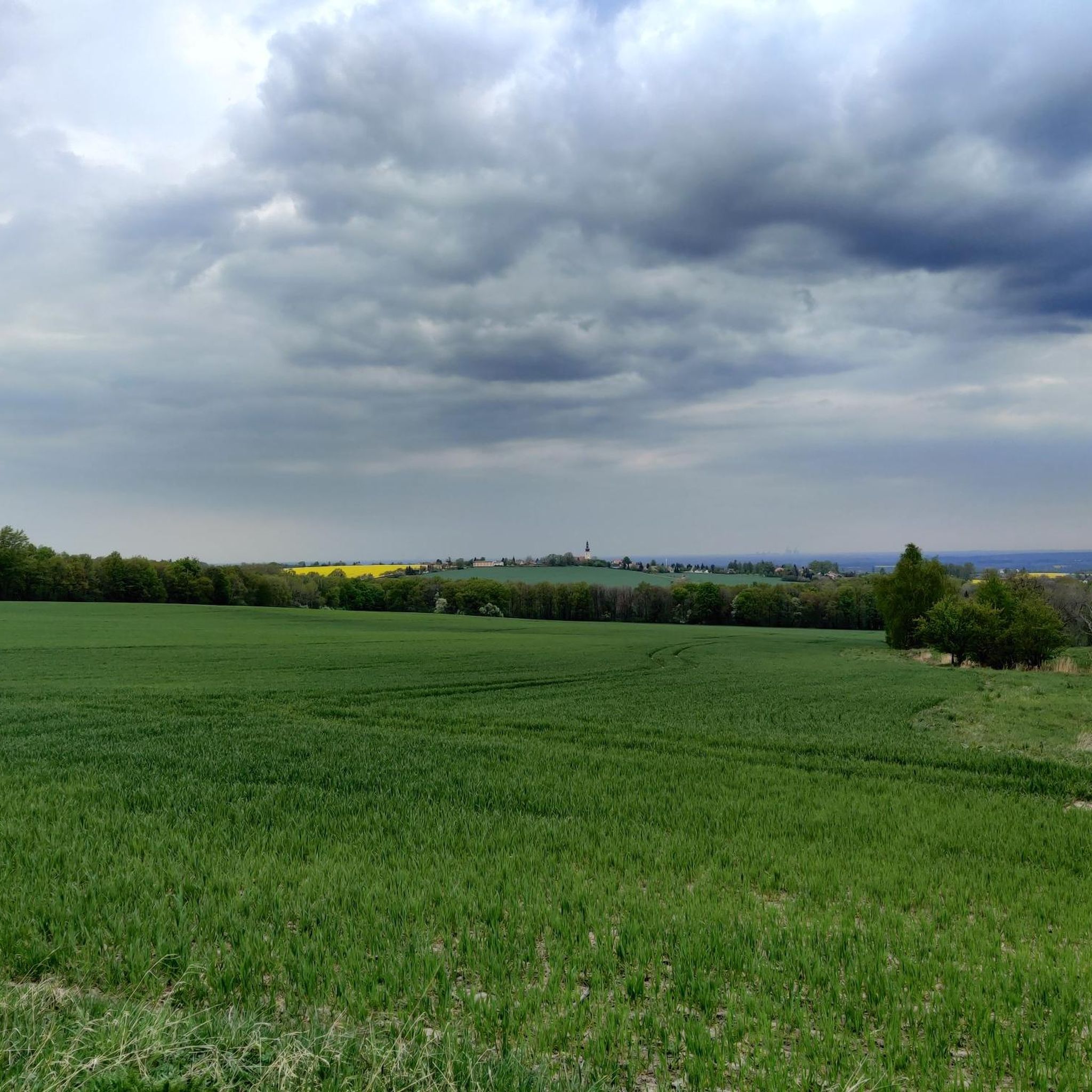
Tips from the Community


Very nice for a break.
0
0
From the front, the church looks like a fortress. For the sparsely populated area, this church - like many others - is much too large for the village.
0
0

Beautiful pond landscape. Sea eagles can be observed here. The bike path, however, isn't great...
0
0
Beautiful bike path along the shore. Lake views are only occasionally visible, however. Easy to ride, few rooty hills...
0
0

A beautiful place with a path around the lake.
0
0

It is a beautiful view of the lake.
0
0

a well-developed cycle path
0
0
Frequently Asked Questions
How many gravel bike trails are available around Hochkirch?
Hochkirch offers a diverse selection of over 20 gravel bike routes. These range from moderate to more challenging options, catering to various skill levels.
Are there any easy gravel bike trails suitable for beginners in Hochkirch?
While many routes in Hochkirch are moderate to difficult, there are options that follow former railway lines, which typically offer more consistent and gentler gradients. For example, the Cunewalder Valley Rail Trail – Rail trail loop from Mehltheuer - Lubjenc is a good starting point, offering a relatively consistent surface.
What kind of terrain can I expect on gravel bike routes in Hochkirch?
You can expect varied terrain, including former railway lines that provide smooth, consistent gradients. Many routes also feature open paths around scenic lake and pond landscapes, such as the Malschwitz Pond Landscape, and some include sections with moderate elevation gain.
Are there any family-friendly gravel bike trails in the Hochkirch area?
Routes that utilize former railway lines are generally more suitable for families due to their consistent gradients and smoother surfaces. These paths often avoid steep climbs, making them more accessible for riders of different ages and abilities.
What are some notable natural attractions or landmarks I can see while gravel biking around Hochkirch?
The region is rich in natural beauty and interesting sights. You can explore the Georgewitz Gorge, discover the unique rock formations at Kälbersteine, or enjoy views from the König-Friedrich-August Tower on Löbauer Hill. Many routes also pass by the expansive Bärwalder See or through the distinct Malschwitz Pond Landscape.
Are there any circular gravel bike routes around Hochkirch?
Yes, many of the gravel bike routes in Hochkirch are designed as loops. Popular options include the Bärwalder See Cycling Route, which circles the large lake, and the Malschwitzer Ponds Cycle Path, which explores the pond landscape.
What do other gravel bikers enjoy most about the trails in Hochkirch?
The gravel biking routes in Hochkirch are highly rated by the komoot community, with an average score of 4.25 stars. Riders often praise the varied terrain, from former rail trails to scenic lake and pond landscapes, and the options available for different ability levels.
Are there any routes that offer scenic viewpoints or opportunities for wildlife spotting?
Many routes, especially those around the large lakes like Bärwalder See or through the Malschwitz Pond Landscape, offer open views and opportunities to observe local wildlife. The natural areas, including the Gröditzer Skala Nature Reserve, are excellent for nature observation.
What is the typical distance and elevation gain for gravel bike routes in Hochkirch?
Distances vary significantly, from around 36 km for routes like the Cunewalder Valley Rail Trail to over 80 km for the Bärwalder See Cycling Route. Elevation gains can range from approximately 240 meters on flatter pond landscape loops to over 500 meters on some of the longer rail trail loops.
Can I find routes that combine gravel biking with stops at cafes or restaurants?
While specific cafe stops are not detailed for every route, the region's popularity means that many towns and villages along the routes, especially those near larger lakes or popular attractions, will offer opportunities for refreshments. Planning your route with komoot allows you to discover such points of interest.
Are there any hidden gem gravel trails in Hochkirch that are less frequented?
Hochkirch's network of former rail trails and paths through pond landscapes offers many opportunities to discover quieter sections. Exploring routes that venture slightly off the main lake loops, or those connecting smaller villages, can lead to more secluded experiences.
What is the best time of year for gravel biking in Hochkirch?
Spring and autumn generally offer the most pleasant conditions for gravel biking in Hochkirch, with mild temperatures and beautiful scenery. Summer can also be enjoyable, especially around the lakes, but be prepared for warmer weather. Winter riding is possible, but conditions can be variable with potential for snow or ice.
Most popular routes around Hochkirch
Most popular attractions around Hochkirch

Get inspired with the komoot mobile app


Explore more
Browse the best Gravel rides in other regions.
