The best gravel rides around Osterode
4.5
(60)
313
riders
37
rides
Gravel biking around Osterode offers diverse landscapes at the southwestern edge of the Harz Mountains. The region is characterized by extensive forest paths, challenging climbs, and rapid descents through varied terrain. Riders can expect picturesque trails that include gravel paths and old railway tracks, alongside natural features like the Sösetal Dam and the South Harz Karst Mountains. This area provides a compelling environment for exploring the Harz region's natural beauty on two wheels.
Best gravel bike trails around Osterode
- The…
Last updated: October 6, 2026
3.0
(2)
11
riders
Hard gravel ride. Very good fitness required. Mostly paved surfaces. Suitable for all skill levels.
12
riders
Hard gravel ride. Very good fitness required. You may need to push your bike for some segments of this route.

4.5
(2)
11
riders
Hard gravel ride. Very good fitness required. Mostly paved surfaces. Suitable for all skill levels.
4.4
(12)
22
riders
Moderate gravel ride. Good fitness required. Mostly paved surfaces. Suitable for all skill levels.
1.0
(1)
6
riders
Hard gravel ride. Very good fitness required. Mostly paved surfaces. Suitable for all skill levels.
Get access to more routes and recommendations from other explorers.
Already have an account?
Our route recommendations are based on thousands of hikes, rides, and runs completed by other people on komoot.
Start today with a free account
Your next adventure awaits.
Popular around Osterode
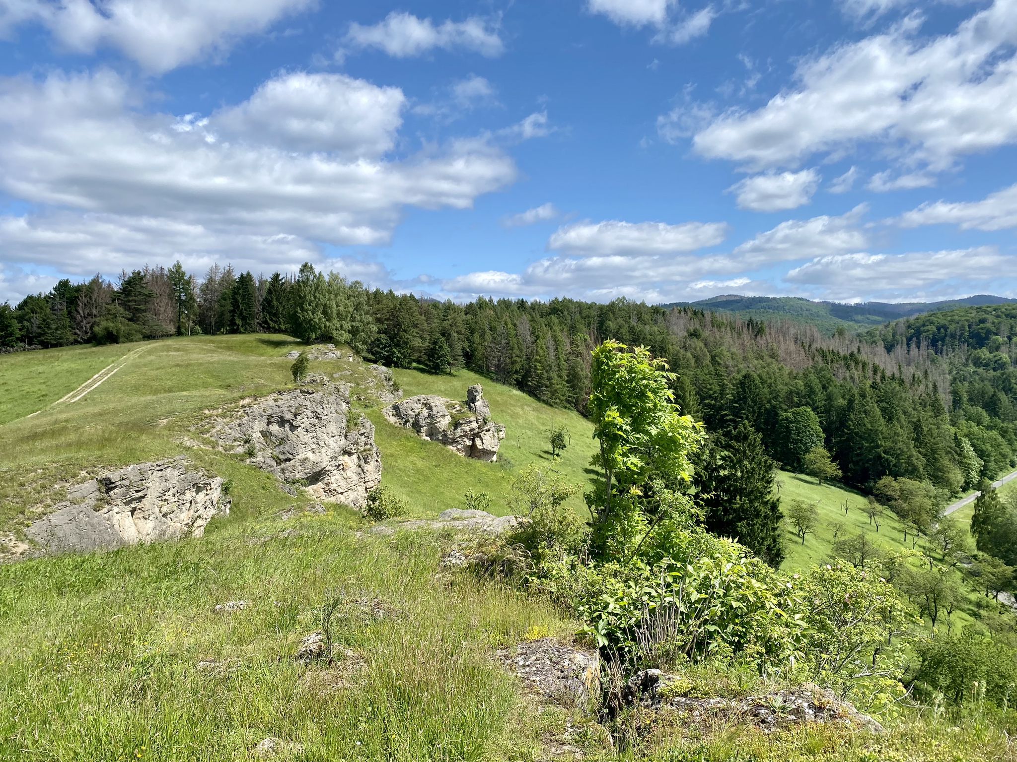
Karst Trail in Germany's Southern Harz Mountains – Where Water Meets Limestone
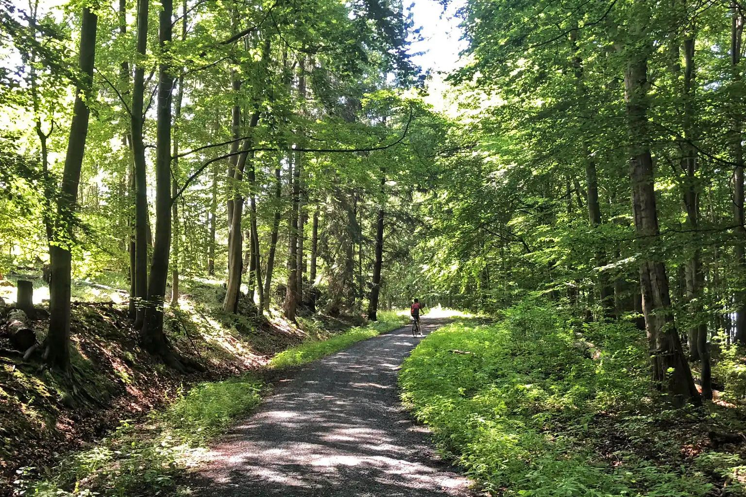
The Harz-Rundweg – once around the low mountain range in the Harz foreland
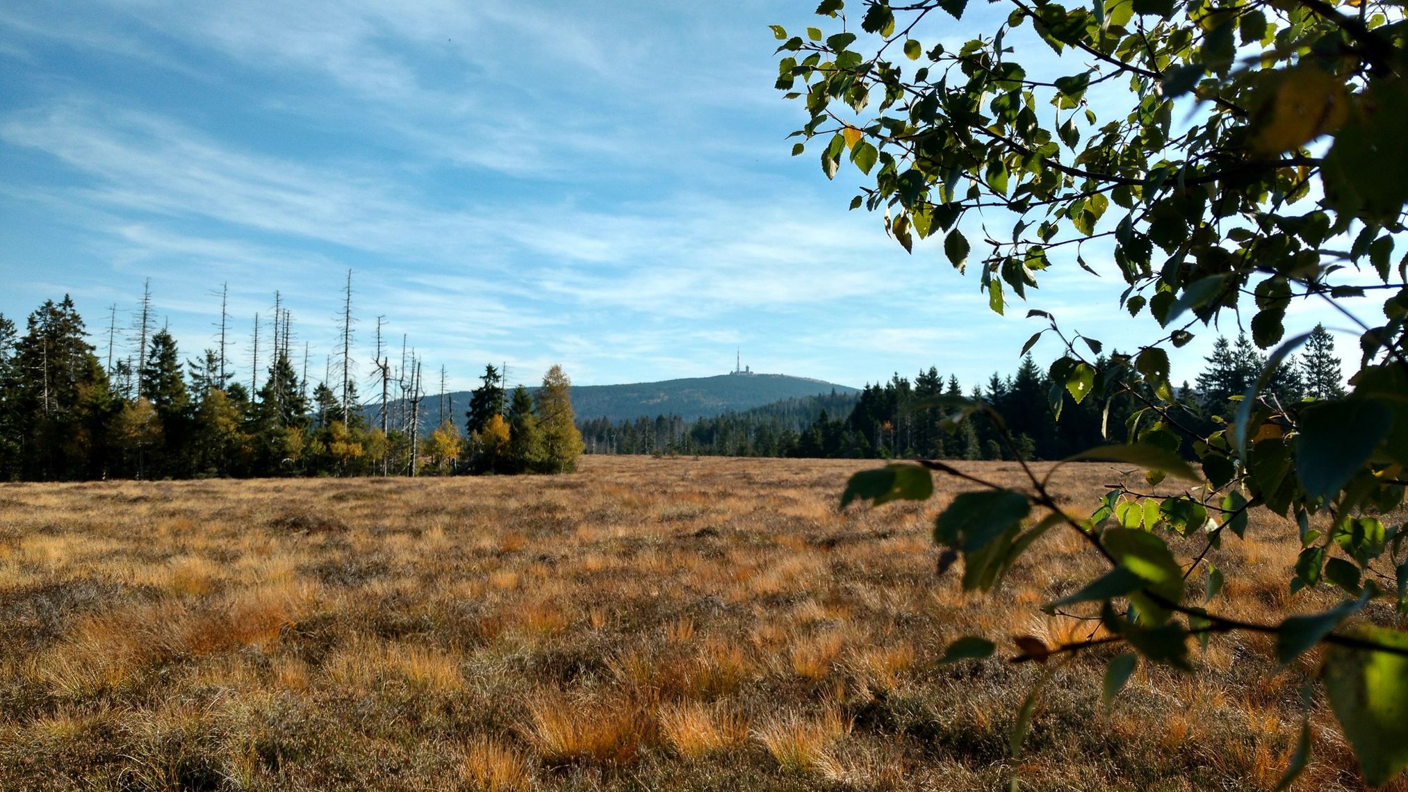
Harz Witches' Trail – A magical journey through Germany

Mountainbike Routes in Nationalpark Harz
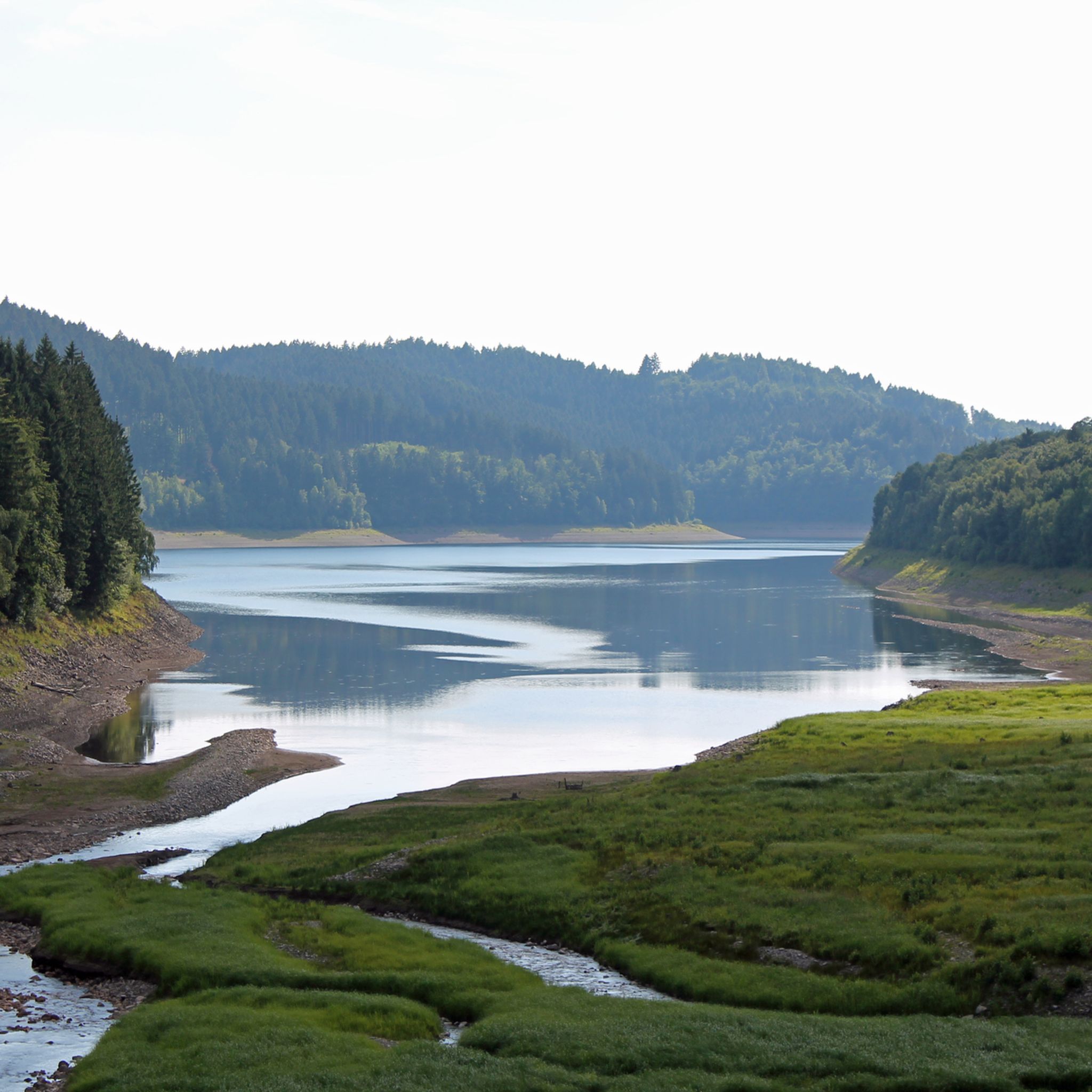
Hiking around Osterode
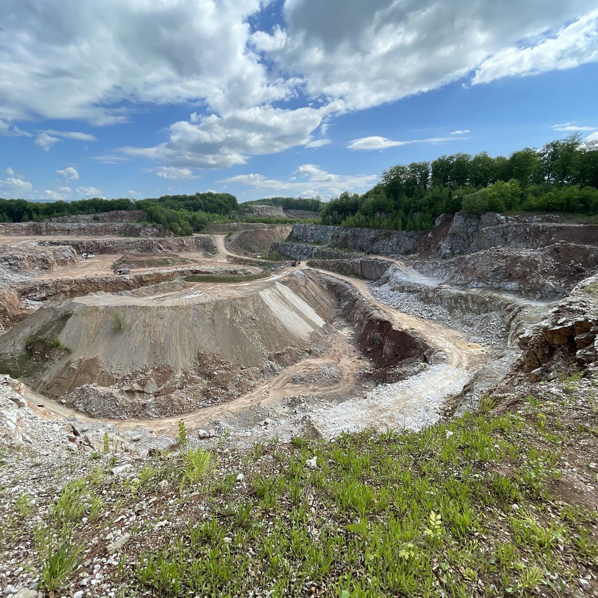
Cycling around Osterode
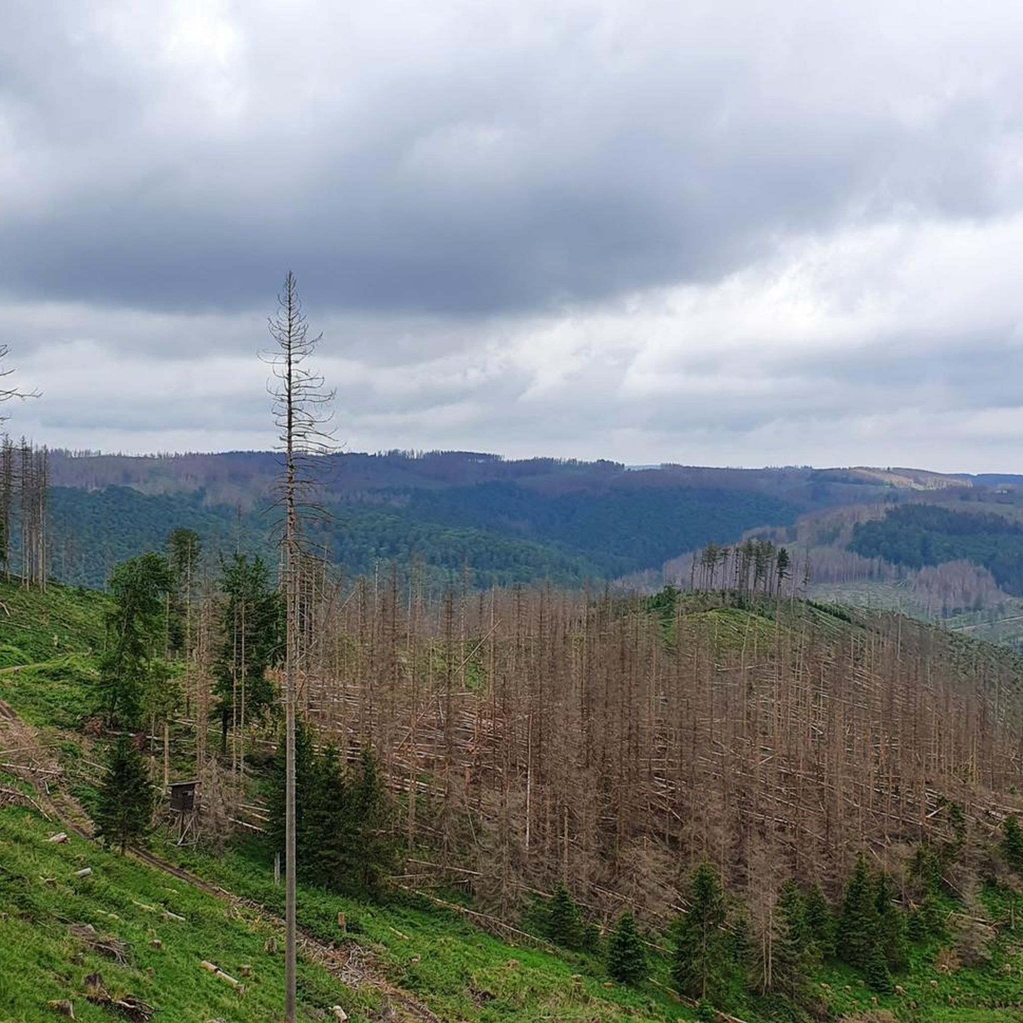
MTB Trails around Osterode
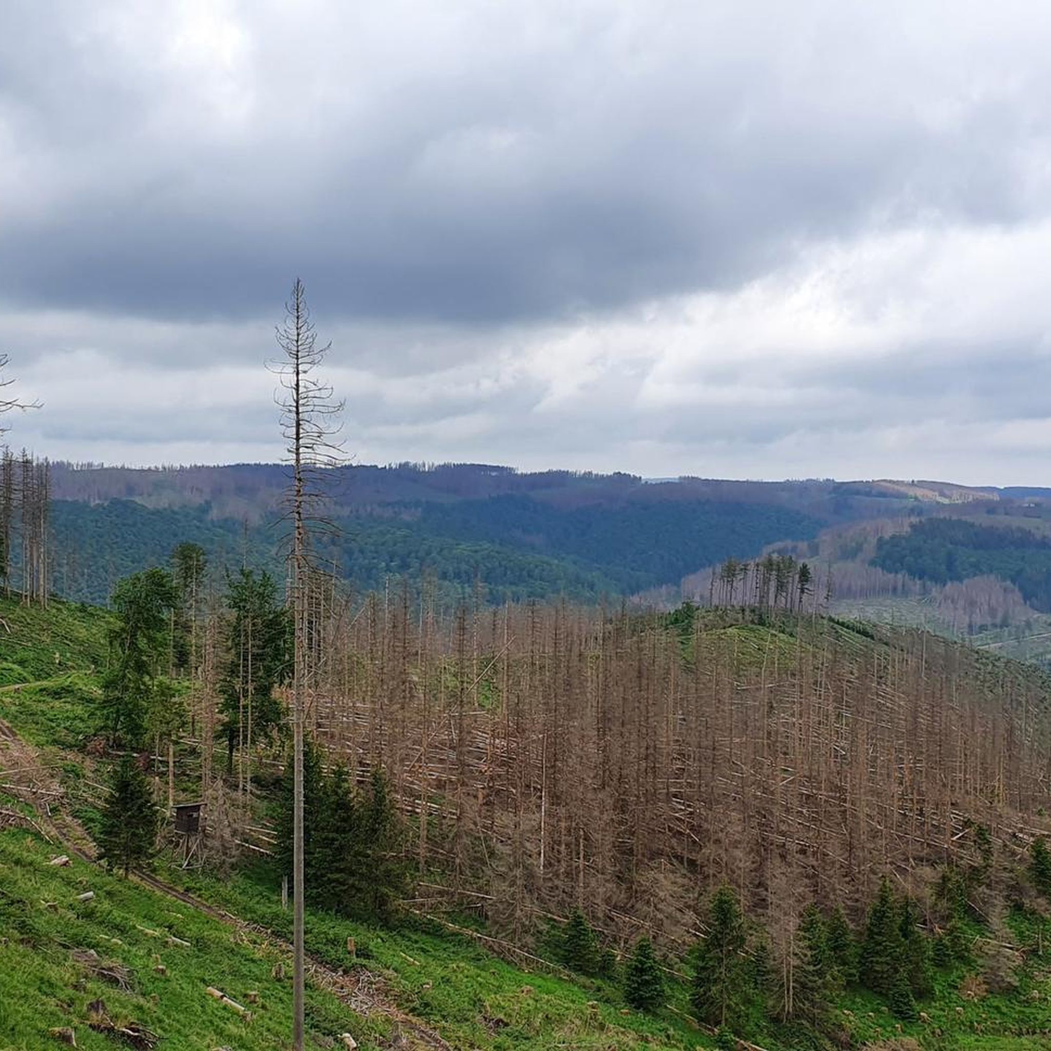
Road Cycling Routes around Osterode
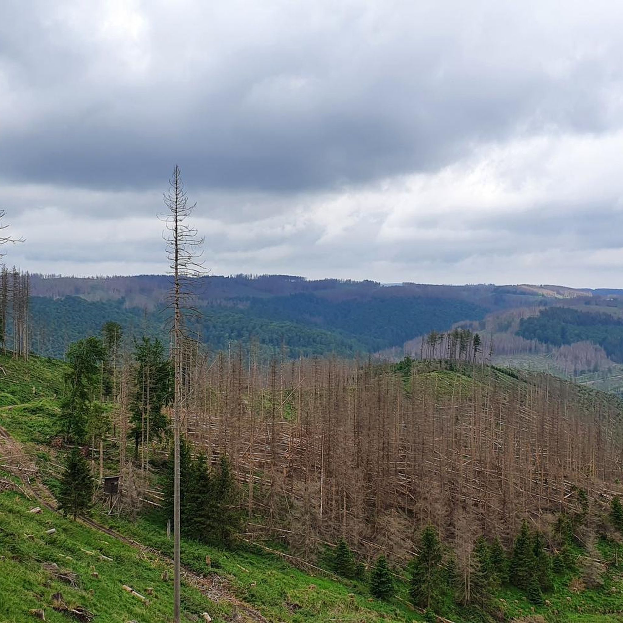
Running Trails around Osterode
Mountain Hikes around Osterode
Other adventures around Osterode


Tips from the Community

Semmelwieser Teich served as the water supply for the Rosenhöfer Zug. The dam was built in 1691 in the old construction style. With a dam height of around 7.20 m, it impounds 64,000 m of water. Below lie the Upper and Lower Rosenhöfer Kunstgraben, into which the water is directed. Source: Information board
5
0

Beautiful view of the old mining pond near Buntenbock.
0
0
Old Harz mining pond from the 17th century.
0
0

Luckily it's not a singletrack trail, otherwise you'd have to dismount every time someone came the other way. It's certainly rideable with a city bike as well.
0
0

An engineering marvel dating from 1536 to 1866, the Upper Harz Water Management System is considered one of the Harz Mountains' greatest attractions. It encompasses all the structures built to store water and transport it to mines, some of which are located far away. It is one of the largest and most significant historical water management systems in the world of mining. The Upper Harz Water Management System includes numerous reservoirs, kilometers of water channels, and underground waterways. Source: https://www.harz-travel.de/Regionales/Harz-Sehenswuerdigkeiten-Highlights/Oberharzer-Wasserregal/
1
0
The "Grüner Hirsch" (Green Stag) silver mine, belonging to the Burgstätter mining district and once located about 400 meters west of the Mittlerer Pfauenteich (Middle Peacock Pond), began operations in August 1645. It was one of the few, not particularly productive, ore mines in this mining area. This mine would probably have long since been forgotten if the pond, built around the same time and named after it, had not soon played a crucial role in mining near Clausthal. The exact date of the pond's construction has not been recorded, but it likely occurred at the same time as work began at the "Grüner Hirsch," or at least before 1660. In any case, a comprehensive document from 1661, which has survived to the present day, already lists the "Grüner Hirsch Pond" as part of the water supply for the Burgstätter main drainage system. Source: https://www.harzlife.de/teiche/hirschler-teich.html
1
0


There are a few ponds here due to mining - it's fun to drive over the dams
1
0
Frequently Asked Questions
How many gravel bike trails are available around Osterode?
There are nearly 50 gravel bike trails around Osterode, offering a wide range of options for different skill levels. This includes 2 easy routes, 21 moderate routes, and 26 difficult routes, ensuring there's something for every gravel biker.
What kind of terrain can I expect on gravel bike trails in Osterode?
Gravel biking in Osterode features diverse terrain, from extensive forest paths and old railway tracks to challenging climbs and rapid descents. You'll encounter picturesque gravel paths, especially in the Harz Mountains and the unique South Harz Karst Mountains, providing a varied and engaging riding experience.
Are there any family-friendly gravel routes in Osterode?
Yes, Osterode offers a few easier routes suitable for families. While many trails involve significant elevation, you can find options with less demanding climbs. For example, the Flow Trail along the Rhume – View of the River Rhume loop from Lichtensteinhöhle is a moderate 41 km route with only about 100 meters of elevation gain, making it a good choice for a family outing.
What are some scenic natural features or landmarks I can see along the gravel trails?
The trails around Osterode pass by numerous natural and historical attractions. You can explore areas like the Sösetal Dam and Reservoir, the unique South Harz Karst Mountains, and the Lerbach Valley. Notable landmarks include the Unicorn Cave (Einhornhöhle), the Stone Church in Scharzfeld, and the Iberger Dripstone Cave. Many routes also offer panoramic views, especially from higher elevations like the Großer Knollen.
Are there any circular gravel bike routes available?
Yes, many of the gravel bike routes in Osterode are designed as loops, allowing you to start and end at the same point. Examples include the Prince's Pond – Bärenbrucher Pond loop from Osterode (Harz) Mitte, which covers 32.4 km, and the Pandelbach Crossing – Torstadt Grund Fountain loop from Osterode (Harz) Mitte, a longer 50.2 km option.
What is the best time of year for gravel biking in Osterode?
The region is generally excellent for gravel biking from spring through autumn. The Harz Mountains offer extensive forest paths that are beautiful in all seasons. While winter can bring snow and ice, making some trails challenging, the diverse landscape means there are often still rideable paths. Always check local conditions before heading out, especially in colder months.
What do other gravel bikers say about the trails in Osterode?
The gravel biking routes in Osterode are highly regarded by the komoot community, with an average rating of 4.7 stars from over 80 reviews. Riders frequently praise the region's diverse landscapes, the extensive network of forest paths, and the challenging yet rewarding climbs and descents. Many appreciate the combination of natural beauty and historical points of interest along the way.
Are there challenging gravel routes for experienced riders?
Absolutely. Osterode is known for its challenging gravel routes, with 26 out of nearly 50 trails rated as difficult. These routes often feature significant elevation gains and technical sections. For instance, the Sösetalsperre Dam – Dammgraben Dam loop from Osterode (Harz) Mitte is a difficult 46.2 km trail with over 765 meters of elevation gain, perfect for experienced gravel bikers seeking a demanding ride.
Can I find places to eat or stay near the gravel trails?
Osterode am Harz, as the 'gateway to the Harz Mountains,' offers various amenities for visitors. The historical town center has well-preserved half-timbered houses and local establishments where you can find cafes, pubs, and accommodation. Some trails, like those passing by the Hanskühnenburg, even have restaurants directly on the route, providing convenient stops for refreshments.
Is public transport available to access the gravel trails in Osterode?
Osterode am Harz is well-connected and serves as a hub for the region. While specific public transport options directly to trailheads may vary, the town itself is accessible, and many routes start from or near the town center. It's advisable to check local bus or train schedules for connections to specific starting points if you plan to use public transport.
Are there any less crowded gravel trails for a more peaceful ride?
While popular routes can see more traffic, the extensive network of paths throughout the Harz Mountains and the South Harz Karst Mountains means you can often find quieter trails. Exploring some of the less-trafficked forest paths or venturing into areas slightly further from the main attractions can offer a more serene gravel biking experience.
Most popular routes around Osterode
Most popular attractions around Osterode

Get inspired with the komoot mobile app


Explore more
Browse the best Gravel rides in other regions.
