The best gravel rides around Armstorf
4.8
(8)
17
riders
3
rides
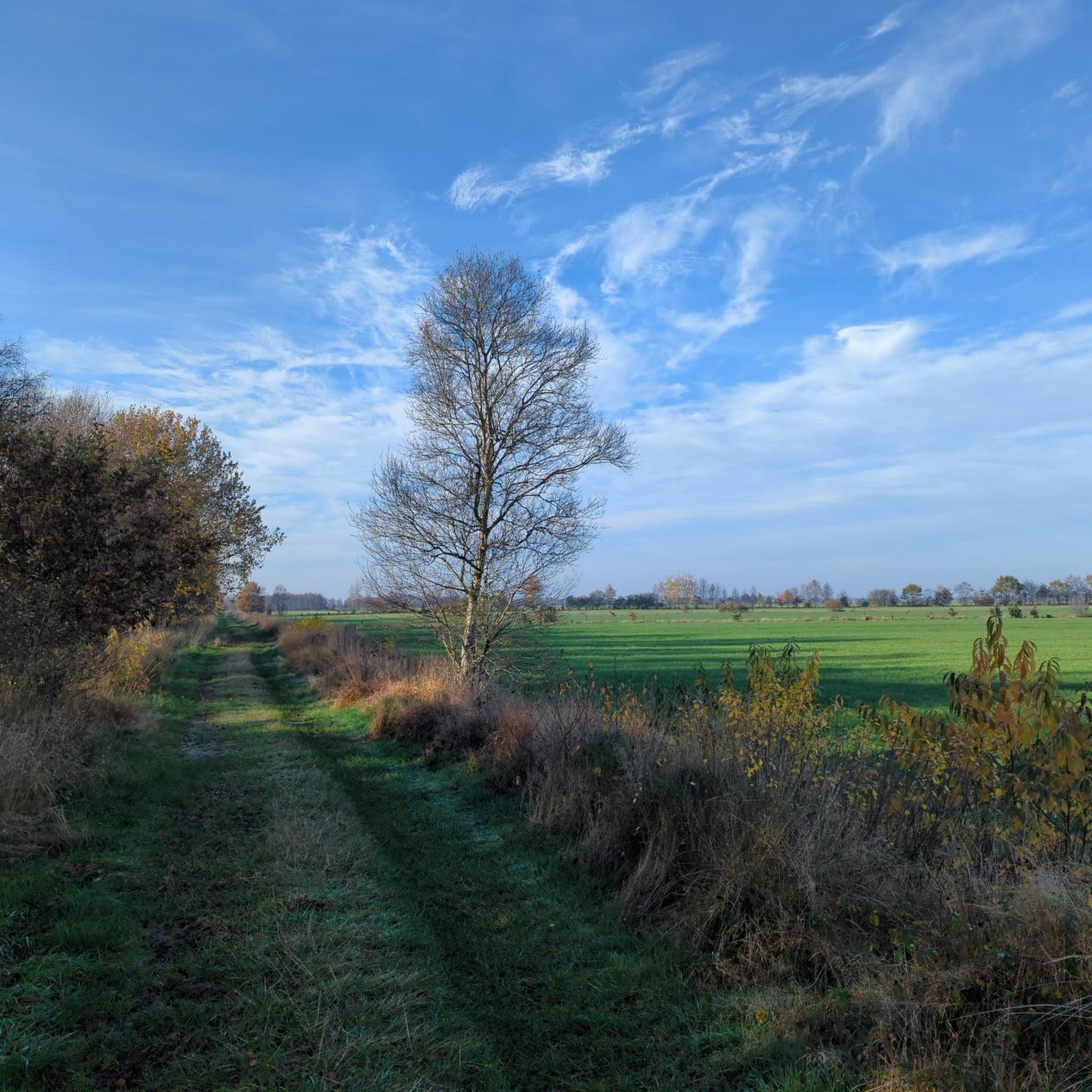
Gravel biking around Armstorf offers routes through a landscape characterized by flat terrain, nature reserves, and waterways. The region features areas like the Osteschleifen Nature Reserve, Lake Bederkesa, and the Bederkesa-Geeste Canal. This provides varied surfaces for gravel bike trails, including paths alongside lakes and canals, lush green pastures, and forest roads. The area's low elevation means routes typically involve minimal climbing, making them accessible for various skill levels.
Best gravel bike trails around Armstorf
- The most popular gravel bike…
Last updated: October 6, 2026
4.5
(2)
2
riders
31.3km
01:46
70m
70m
Easy gravel ride. Great for any fitness level. Mostly paved surfaces. Suitable for all skill levels.
4.5
(2)
3
riders
8.47km
00:26
20m
20m
Easy gravel ride. Great for any fitness level. Mostly paved surfaces. Suitable for all skill levels.

5.0
(2)
3
riders
34.7km
01:53
60m
60m
Hard gravel ride. Great for any fitness level. You may need to push your bike for some segments of this route.
5.0
(1)
3
riders
15.9km
00:48
40m
40m
Easy gravel ride. Great for any fitness level. Mostly paved surfaces. Suitable for all skill levels.
5.0
(1)
3
riders
Easy gravel ride. Great for any fitness level. Mostly paved surfaces. Suitable for all skill levels.
Our route recommendations are based on thousands of hikes, rides, and runs completed by other people on komoot.
Start today with a free account
Your next adventure awaits.
Tips from the Community

Das Hohe Moor is a dreamily beautiful destination in the immediate vicinity of Oldendorf. A free parking lot is available, as well as a rest stop hut. In the moor, you will repeatedly find park benches to enjoy the beauty of this moor. Information boards are available with interesting information about the formation of the moor.
5
0
The Gräpel punt ferry is a historic, hand-operated chain punt ferry that connects the village of Gräpel (municipality of Estorf) with the western bank. It is located not far from Stade and is a popular, enchanting excursion destination for cyclists and hikers as well as for walkers. The operating times and prices for the season: From May 1st to October 15th. Daily ferry times: From 10:00 AM to 7:00 PM (outside these times by arrangement or by ringing the bell) on the bank. Price: A symbolic amount of €1.00 per person (including bicycle). Important notes for the crossing: Manual operation: The ferry has no engine and is pulled across the river on a submerged chain using muscle power. Assistance: It is customary for passengers to help pull; work gloves are provided on site. Capacity: Up to 20 to 30 people with bicycles can fit. Refreshments: The Gasthof Plate's Osteblick is located directly at the ferry landing stage.
0
0
The Prahmfähre Gräpel is a historic, hand-operated chain ferry that connects the village of Gräpel (Estorf municipality) with the western bank. It is located not far from Stade and is a popular, enchanting excursion destination for cyclists and hikers, as well as for strollers. The operating times and prices of the season: From May 1st to October 15th. Daily ferry times: From 10:00 AM to 7:00 PM (outside these times by arrangement or by ringing the bell) on the bank. Price: A symbolic amount of €1.00 per person (including bicycle). Important notes for the crossing: Manual operation: The ferry has no engine and is pulled across the river on a ground chain using muscle power. Assistance: It is customary for passengers to help with pulling; work gloves are provided on site. Capacity: Up to 20 to 30 people with their bicycles can fit. Refreshments: The restaurant Plate's Osteblick is located directly at the ferry landing.
0
0
It's always beautiful to walk here 🤗. Whether as a hiker, walker, or cyclist, it's wonderful here. Taking a seat on an offered bench is absolutely recommended. And just look at the water and relax.
1
0
The Ostehafen Bremervörde originated before the Thirty Years' War in Bremervörde at the endpoint of the navigable Oste. Here, a ford and later a bridge of the Vörder Burg blocked the further passage of ships. Bremervörde in the topography of Matthäus Merian, before 1653 The large moorland depression in the Elbe-Weser triangle could be crossed here on a geest ridge, which as a ford enabled the crossing of the Oste. Around the 8th century, the settlement named Vörde was established. Later, the moated castle was built here. This castle complex with the small Vörder harbor was depicted in 1653 in the image by Matthaeus Merian. It was the Oste ford that was used by long-distance trade routes and for a long time by the cattle drive for the route from Denmark to Bremen and the Netherlands. The Oste, the ford, and the harbor shaped the settlement, which received town privileges in 1852.
1
0


Historic barge rope ferry across the Oste
0
0
Former loading port for dried peat
0
0
Frequently Asked Questions
What is the typical difficulty of gravel bike trails in Armstorf?
The gravel bike trails around Armstorf offer a mix of difficulties. You'll find routes ranging from easy loops, like the one circling Lake Bederkesa, to more difficult routes that cover longer distances and explore areas like the Osteschleifen Nature Reserve. The region's flat terrain means minimal climbing, making many routes accessible.
Are there beginner-friendly gravel bike trails in Armstorf?
Yes, Armstorf has excellent options for beginners. The Lake Bederkesa – Lake Bederkesa loop from Bad Bederkesa is an easy 5.2-mile (8.4 km) path, perfect for those new to gravel biking, offering pleasant lakeside views without significant challenges. Another easy option is the Lake Bederkesa – Lake Bederkesa loop from Fleckenshölzer, which is a bit longer at 15.7 km but still features minimal elevation.
What are some challenging gravel bike routes for experienced riders?
Experienced riders looking for a challenge can explore routes like the Prahmfähre Gräpel – Osteschleifen Nature Reserve loop from Estorf. This route is 25.4 miles (40.9 km) long and is rated as difficult, taking around 2 hours 46 minutes to complete. Another difficult option is the Großes Moor – Prahmfähre Gräpel loop from Estorf, which covers 35.1 km.
Are there family-friendly gravel biking options in Armstorf?
Absolutely. The flat terrain and well-maintained paths make many routes suitable for families. The Lake Bederkesa loop is particularly family-friendly due to its easy difficulty and scenic lakeside setting, providing a pleasant outing for all ages.
When is the best time of year to go gravel biking in Armstorf?
Given the region's flat terrain and numerous nature reserves and waterways, spring, summer, and early autumn are ideal for gravel biking in Armstorf. The weather is generally mild, and the natural landscapes are at their most vibrant. These seasons offer the best conditions for enjoying the paths alongside lakes and canals.
What are the conditions like for gravel biking in Armstorf during winter?
During winter, the flat terrain around Armstorf can become wet and muddy, especially on unpaved sections, due to rain or melting snow. While some routes might still be passable, it's advisable to check local weather conditions and trail reports. Be prepared for potentially slippery surfaces and colder temperatures.
Which gravel bike routes offer the most scenic views in Armstorf?
For scenic rides, consider routes that follow the waterways and circle the lakes. The Lake Bederkesa loop offers beautiful lakeside vistas. Additionally, the Bench by the Canal – Bederkesa-Geeste Canal loop from Alfstedt, Oberdorf provides picturesque views along the canal, showcasing the region's characteristic waterways.
What can I see along the gravel bike trails in Armstorf?
Many gravel bike trails in Armstorf pass by interesting sights. Along routes near Lake Bederkesa, you might spot the Fishing Pier at Lake Bederkesa or the Observation tower at Lake Bederkesa. Trails near the Oste River could lead you past the historic Gräpel Oste Ferry. The region also features landmarks like Bederkesa Castle and the Bederkesa Windmill, which are worth exploring.
How many gravel bike trails are available around Armstorf?
There are over 5 gravel bike trails available around Armstorf, catering to various skill levels. These routes explore the region's unique landscape of nature reserves, lakes, and canals.
What do other gravel bikers enjoy the most about gravel biking in Armstorf?
The komoot community highly rates the gravel biking experience in Armstorf, with an average score of 4.6 stars from over 6 reviews. Reviewers often praise the region's flat paths, the serene nature reserve landscapes, and the enjoyable routes alongside canals and lakes, highlighting the varied terrain suitable for different ability levels.
Are there any circular gravel bike routes in Armstorf?
Yes, many of the gravel bike routes in Armstorf are designed as loops, making them convenient for starting and ending at the same point. Examples include the Prahmfähre Gräpel – Osteschleifen Nature Reserve loop and the Bench by the Canal – Bederkesa-Geeste Canal loop, both offering a complete circuit.
Most popular attractions around Armstorf

Get inspired with the komoot mobile app


Explore more
Browse the best Gravel rides in other regions.
