The best gravel rides around Sangerhausen
4.8
(22)
100
riders
20
rides
Gravel biking around Sangerhausen offers a diverse landscape at the foothills of the southern Harz Mountains, characterized by forests, meadows, and varied topography. The region features a unique karst landscape and the flatter Golden Aue, providing a mix of ascents, descents, and open stretches. Riders can explore extensive forest and gravel paths, as well as local roads and field paths, making it suitable for varied gravel biking experiences. Historical mining areas also contribute to the distinct terrain, offering routes through…
Last updated: October 6, 2026
5.0
(2)
12
riders
Hard gravel ride. Very good fitness required. Mostly paved surfaces. Suitable for all skill levels.
5.0
(3)
21
riders
33.4km
02:06
470m
470m
Hard gravel ride. Very good fitness required. Mostly paved surfaces. Suitable for all skill levels.

4.8
(8)
32
riders
43.2km
02:35
560m
560m
Hard gravel ride. Very good fitness required. Mostly paved surfaces. Suitable for all skill levels.
4.0
(2)
2
riders
31.4km
01:53
310m
310m
Moderate gravel ride. Good fitness required. Mostly paved surfaces. Suitable for all skill levels.
8
riders
32.2km
02:35
650m
650m
Hard gravel ride. Very good fitness required. Mostly paved surfaces. Suitable for all skill levels.
Get access to more routes and recommendations from other explorers.
Already have an account?
Our route recommendations are based on thousands of hikes, rides, and runs completed by other people on komoot.
Start today with a free account
Your next adventure awaits.
Popular around Sangerhausen
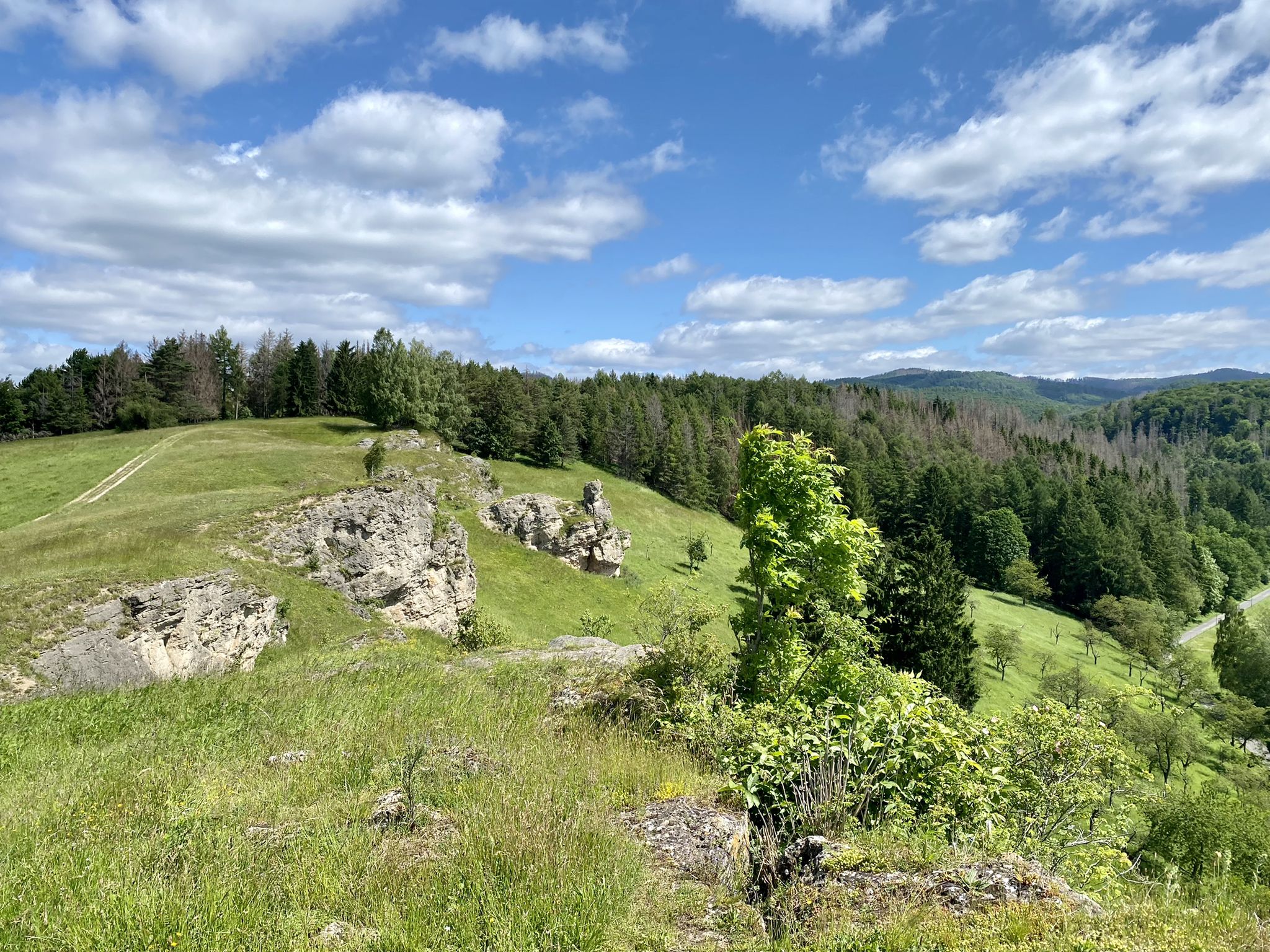
Karst Trail in Germany's Southern Harz Mountains – Where Water Meets Limestone
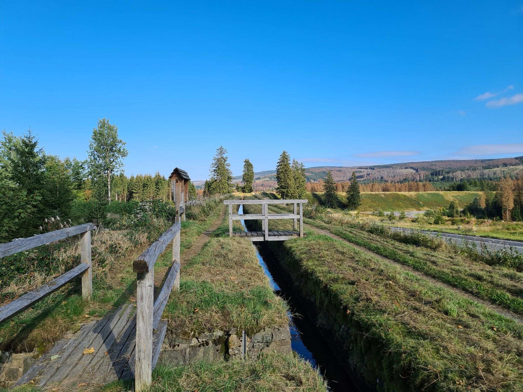
Explore Germany’s mining history — explore the Harz Mountains
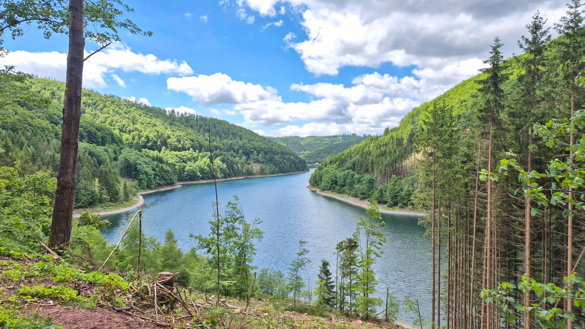
Drei Regionen, viele Abenteuer – Graveln zwischen Harz, Saale und Thüringer Wald
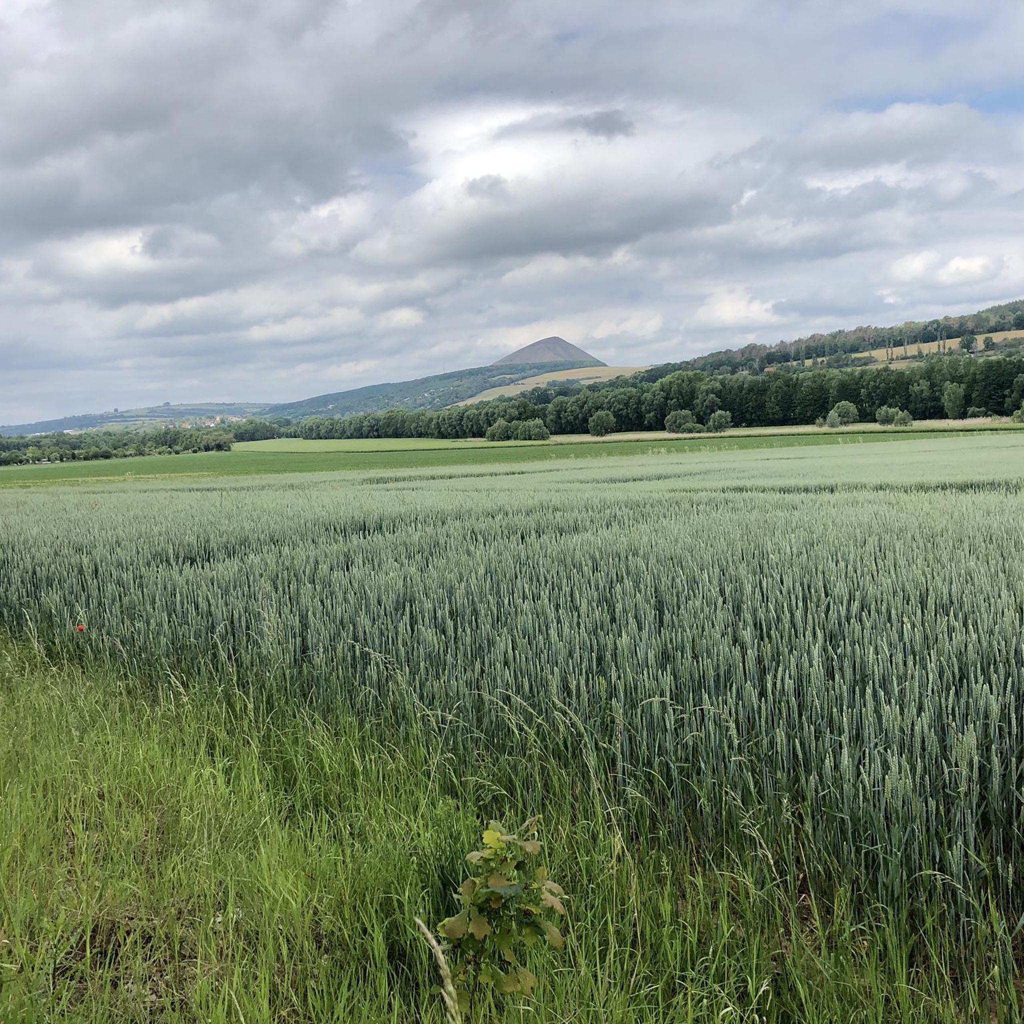
Hiking around Sangerhausen
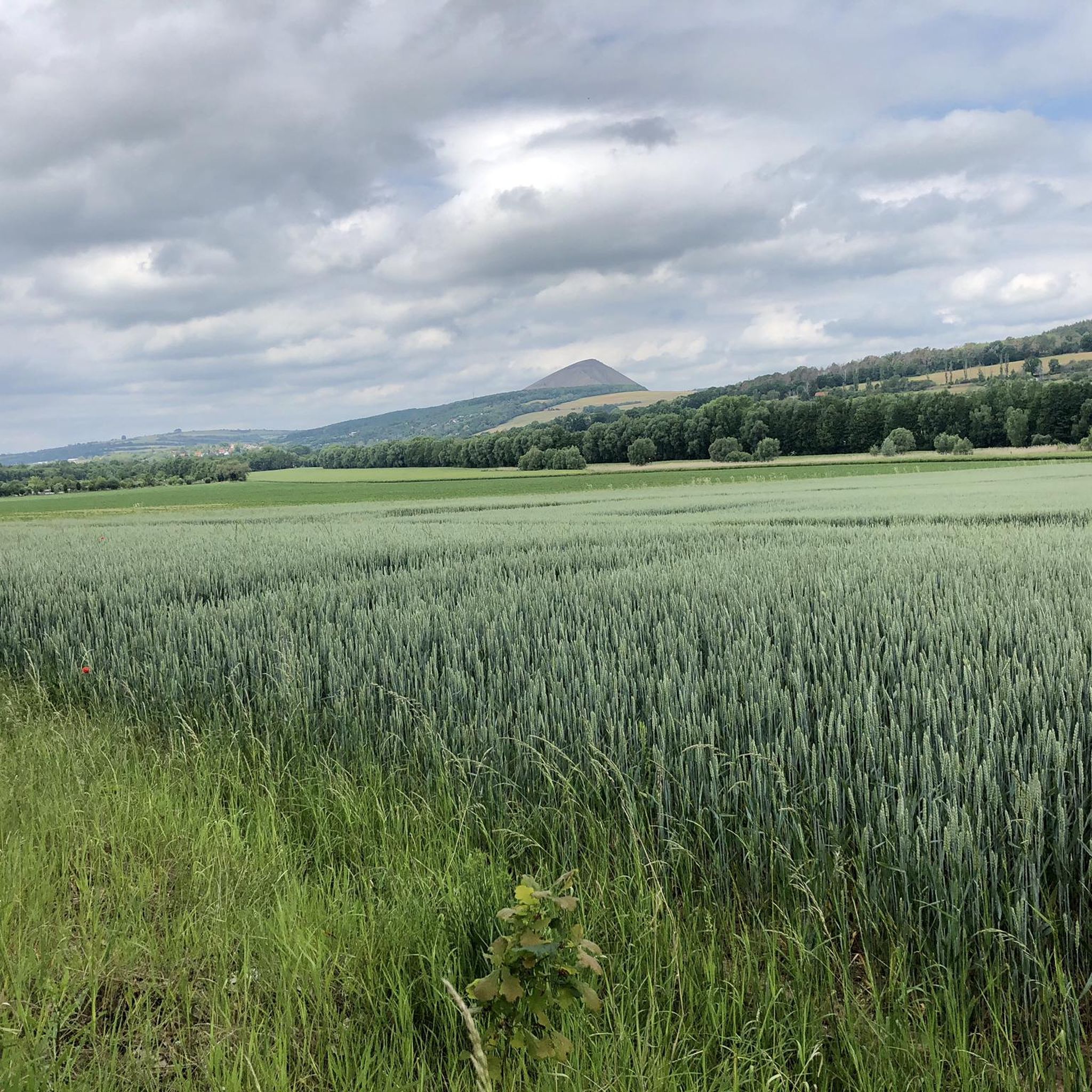
Cycling around Sangerhausen
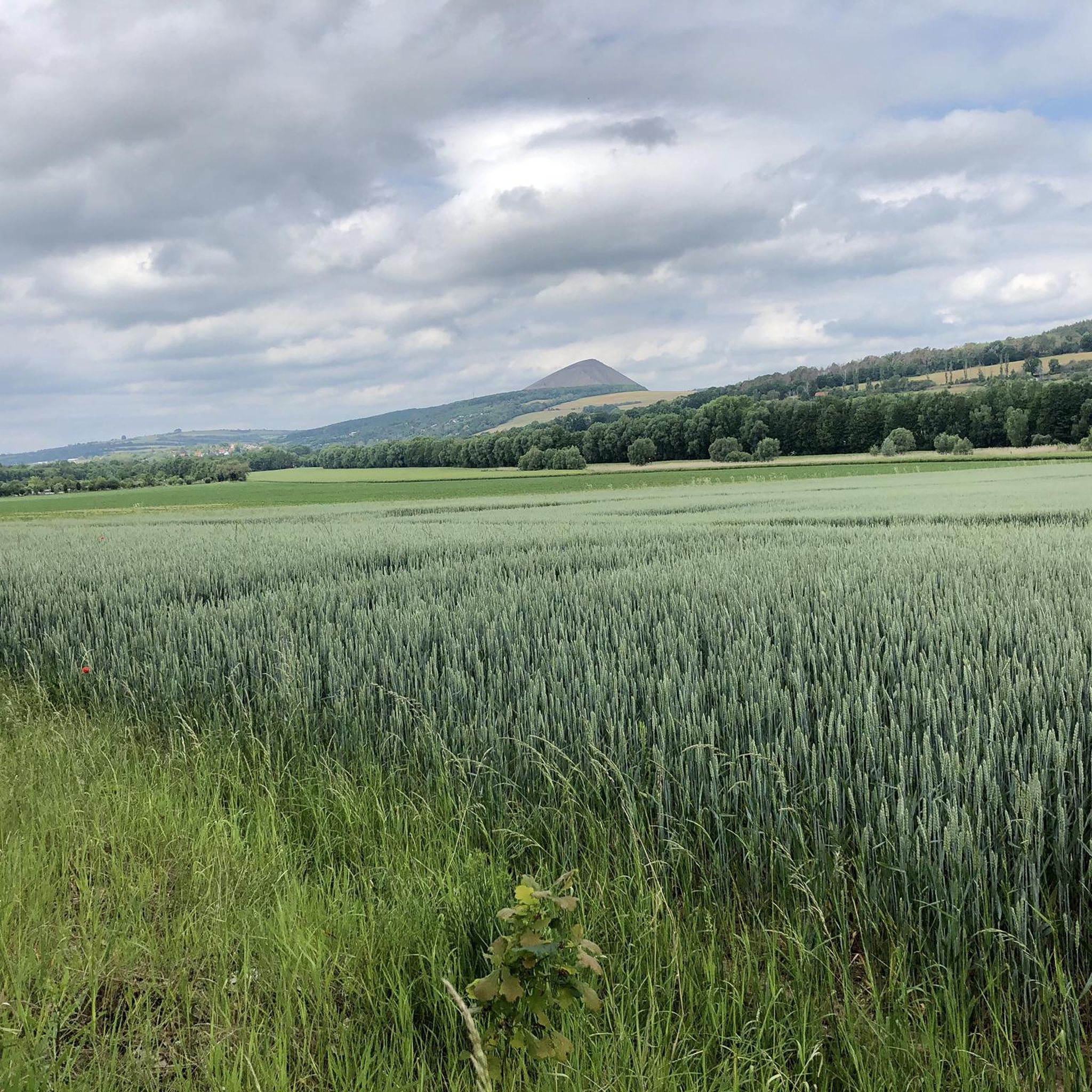
Road Cycling Routes around Sangerhausen
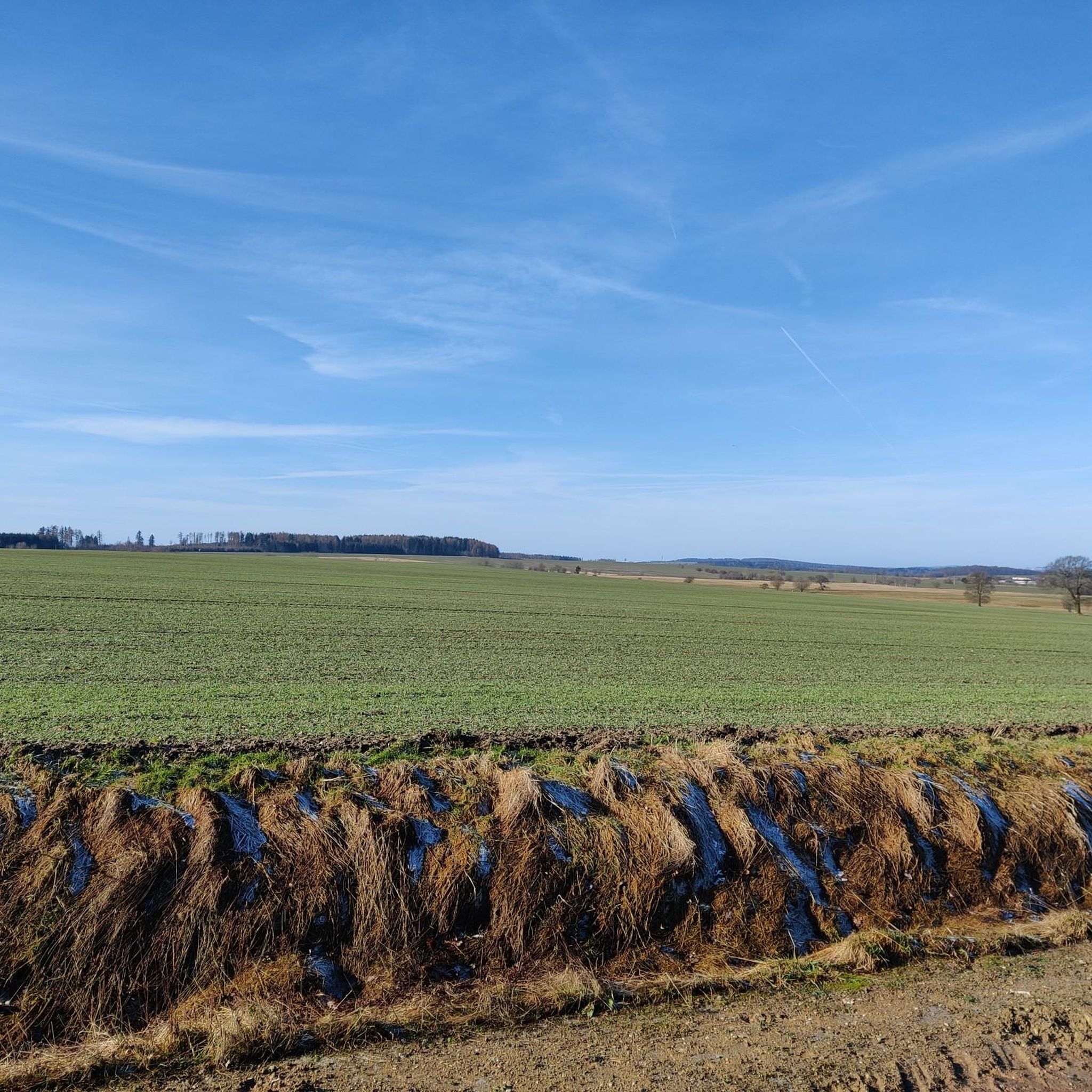
MTB Trails around Sangerhausen
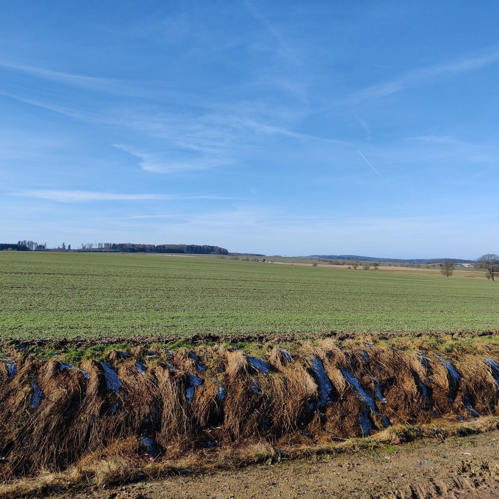
Running Trails around Sangerhausen
Other adventures around Sangerhausen


Tips from the Community

Invites for a short break
1
0
The route starts at Klostermansfeld station. The station is not located in the municipality of Klostermansfeld, but in Benndorf. The Wipperliese offers direct transfer connections here to the regional express trains of line RE 10 (Erfurt–Magdeburg) and a connection to the Mansfelder Bergwerksbahn museum railway. From Klostermansfeld station, the route initially runs parallel to the Berlin–Blankenheim railway line in the direction of Hettstedt and jointly crosses under the Mansfelder Bergwerksbahn with it. On a plateau of the Harz foreland, the Wipperliese route bends in a wide left curve around Klostermansfeld into the Wippertal valley. Further on, the route winds westwards up the valley of the Wipper, following the river closely. For topographical reasons, the Wipper is crossed numerous times, so that the route has a large number of bridges of different designs. Structures of outstanding importance are the Mansfelder Viaduct (also known as Hasselbach Viaduct)[22] and the Rammelburg Tunnel.[23] A rarity in railway operations is the level crossing in the densely built-up town center of Biesenrode, which is not visible for train journeys from the east. Therefore, the level crossing in the direction of Wippra must be manually secured by the train crew with the white-red-white signal flag (so-called postensicherung). Source https://de.wikipedia.org/wiki/Bahnstrecke_Klostermansfeld%E2%80%93Wippra
3
0
After the Berlin–Blankenheim railway line (so-called Kanonenbahn) was opened by the Prussian State Railways in 1879, a railway was also desired in the adjacent Wipper Valley. However, as the request was assessed as unprofitable, it was rejected. After the turn of the century, the project for the Eisleben–Wippra–Stolberg railway line emerged, as the town of Stolberg (Harz) in the Thyra Valley also sought a rail connection. After Klostermansfeld emerged as the junction station for the new line by 1905, the Prussian State Railways had initial preparatory work carried out. This was limited to the Klostermansfeld–Wippra section; the extension to Stolberg (Harz) was to be started later. As Klostermansfeld lies considerably higher than the Wipper Valley, two route variants emerged: The former was intended to overcome the descent into the valley with a short rack railway; the second variant envisaged the construction of a valley bridge. Although the construction costs of the bridge variant were higher than those of the rack railway variant, the decision was made for the bridge (today's Mansfelder Viaduct) to reduce later operating costs. The two million marks required for this were approved in 1907, but the realization was nevertheless not started immediately. Causes included problems with land acquisition. The actual construction work began in 1913 and was considerably delayed in connection with the outbreak of the First World War.[2] Nevertheless, the line was already printed in the timetable in 1914 with the note "under construction". The two largest structures, the Rammelburg Tunnel and the Hasselbach Viaduct, were completed in 1916 and 1918 respectively.[3] Only in 1919 was work on the construction of the railway line resumed on a larger scale, and it was completed in the autumn of 1920.[4] The branch line was to be opened on November 1, 1920, by the Deutsche Reichsbahn-Gesellschaft. However, commissioning had to be postponed to December 20, 1920, because a house with a thatched roof along the line had to be covered with roof tiles first due to the fire hazard.[5] The line extension to Stolberg (Harz) did not materialize, as work on the extension of the Berga-Kelbra–Rottleberode railway line to Stolberg (Harz) had already been underway since 1914.[4] This line was completed in 1923. Source https://de.wikipedia.org/wiki/Bahnstrecke_Klostermansfeld%E2%80%93Wippra Source
1
0
The Klostermansfeld–Wippra railway line is a branch line in the state of Saxony-Anhalt. The line leads from the Mansfelder Land into the Harz mountains. The line is also known as the Wipperliese or Wippertalbahn, as it runs for long stretches through the valley of the river Wipper. Only local passenger transport operates on the line, which has been offered as a tourist service every year from Easter to the end of October since 2015. Source https://de.wikipedia.org/wiki/Bahnstrecke_Klostermansfeld%E2%80%93Wippra
3
0

Nice lawn for relaxing
0
0

A great structure, similar to the Eiffel Tower but not as tall.
0
0

A lovely rest area on a green meadow with a lounger for extra relaxation.
1
0
Frequently Asked Questions
How many gravel bike trails are available around Sangerhausen?
You'll find over 30 gravel biking routes in the Sangerhausen region, offering a wide range of experiences from moderate to difficult. The komoot community has explored these trails extensively, providing valuable insights.
What kind of terrain can I expect on gravel bike trails near Sangerhausen?
The terrain around Sangerhausen is highly diverse, situated at the foothills of the southern Harz Mountains. You can expect a mix of forest and gravel paths, local roads, and field paths. The region features unique karst landscapes, rolling hills, and flatter sections in the Golden Aue, as well as historical mining areas with distinct reclaimed slag heap sites. This variety provides a good balance of ascents, descents, and open stretches.
Are there any easy gravel bike trails suitable for beginners or families in Sangerhausen?
Yes, while many routes offer a challenge, there are options suitable for beginners and families. For example, the region offers 3 easy routes and 13 moderate routes. Look for tours that focus on the flatter sections of the Golden Aue or less steep forest paths for a more relaxed experience.
What are some scenic highlights or landmarks I can see along the gravel bike trails?
The gravel trails around Sangerhausen offer access to various scenic and historical points of interest. You can explore unique natural features like the Dinsterbach Valley or the Märzenbechertal Snowdrop Valley. Historical sites include areas shaped by copper mining, such as those near the Wettelrode Mining Educational Trail. Many routes also pass through charming natural scenery and quiet farming villages.
Are there any circular gravel bike routes around Sangerhausen?
Yes, many of the gravel biking routes in the Sangerhausen area are designed as loops, allowing you to start and end at the same point. An example is the View of Mansfeld Castle – Rammelburg Castle loop from Mansfeld, which offers a challenging ride through historical landscapes.
What do other gravel bikers enjoy most about the trails in Sangerhausen?
The komoot community highly rates the gravel biking experience in Sangerhausen, with an average score of 4.6 stars from over 20 reviews. Riders often praise the diverse landscape, the mix of challenging ascents and scenic descents, and the opportunity to explore both natural beauty and historical sites on varied surfaces like forest and gravel paths.
Is it possible to bring my dog on the gravel bike trails?
Many gravel bike trails in natural areas around Sangerhausen are suitable for cycling with dogs, especially those through forests and open fields. However, always ensure your dog is well-behaved, on a leash where required, and that you carry enough water for both of you. Be mindful of local regulations, especially in nature reserves or agricultural areas.
Where can I find parking for gravel biking routes in Sangerhausen?
Parking is generally available near the starting points of many routes, particularly in or near the towns and villages surrounding Sangerhausen. For example, routes starting from Borntal or Schwenda typically have accessible parking options. It's advisable to check the specific route details on komoot for recommended parking spots.
Are there any cafes or pubs along the gravel bike routes for refreshments?
While the region offers a natural and often secluded biking experience, you will find opportunities for refreshments in the charming farming villages and smaller towns that many routes pass through. Larger towns like Sangerhausen itself offer a wider selection of cafes and pubs. Planning your route with komoot allows you to identify potential stops along the way.
What is the best season for gravel biking in Sangerhausen?
The spring, summer, and autumn months generally offer the best conditions for gravel biking in Sangerhausen. Spring brings blooming landscapes, while summer provides warm weather for longer rides. Autumn is particularly scenic with vibrant foliage. Winters can be challenging due to snow and ice, especially in the higher elevations of the southern Harz.
Can I access the gravel trails using public transport with my bike?
Public transport options, including regional trains and buses, serve Sangerhausen and some surrounding areas. Many services allow bikes, though restrictions may apply during peak hours or for larger groups. It's recommended to check the specific public transport provider's website for their current bike carriage policies and timetables before planning your trip.
Are there any particularly challenging gravel routes with significant elevation gain?
Yes, the southern Harz Mountains provide ample opportunities for challenging rides. For instance, the Josephskreuz Observation Tower – Stolberg Historic Old Town loop from Schwenda is a difficult 41.1 km path featuring significant elevation gain, perfect for experienced gravel bikers seeking a demanding workout and rewarding views.
Most popular routes around Sangerhausen
Most popular attractions around Sangerhausen

Get inspired with the komoot mobile app


Explore more
Browse the best Gravel rides in other regions.
