The 20 Most Amazing Peaks around Grabfeld
Best mountain peaks around Grabfeld are found within a region that straddles the border between Bavaria and Thuringia. While the immediate Grabfeld area is characterized by gently undulating to hilly landscapes, the broader Rhön-Grabfeld district incorporates parts of the Rhön Mountains. This larger district features 135 named mountains, offering more prominent peaks for outdoor activities. The highest elevation in the immediate Grabfeld region is 679 meters within the Gleichberge mountain range.
Best mountain peaks around Grabfeld
- The most popular mountain…
Last updated: July 1, 2026
Weyhershauk Summit Cross
Highlight • Summit
Translated by Google •
Tip by

Summit of Großer Gleichberg
Highlight • Summit
Translated by Google •
Tip by

Sign up now to discover places like this
Get recommendations on the best single tracks, peaks, & plenty of other exciting outdoor places.
Sign up for free
Steinsburg Ruins and Views from the Kleiner Gleichberg
Highlight • Historical Site
Translated by Google •
Tip by
Hexenberg (478 m)
Highlight • Summit
Translated by Google •
Tip by

View of the Kleiner Gleichberg from the Großer Gleichberg
Highlight • Viewpoint
You can find more pictures under the Thuringian View highlight.
Translated by Google •
Tip by
Sign up for free to discover even more peaks around Grabfeld.
Sign up for free
Already have an account?
Start today with a free account
Your next adventure awaits.
Login or Signup
Other adventures around Grabfeld

Tips from the Community

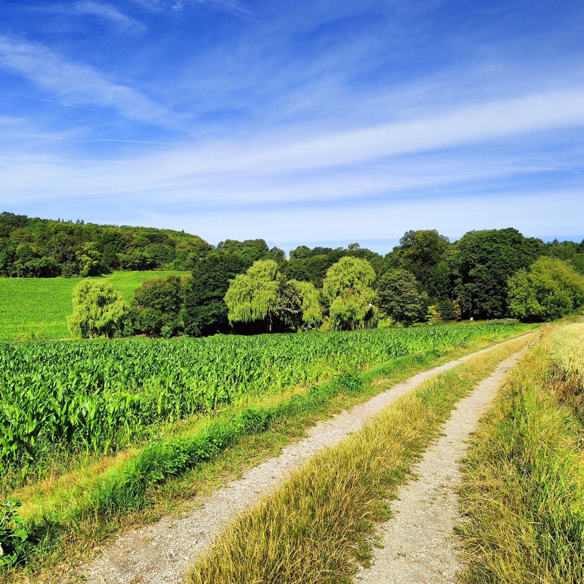
The stone dumps of the Steinsburg on the Kleiner Gleichberg near Römhild in Thuringia are a sea of volcanic rock formed by the eroding basalt blocks of the former volcano. They line the slopes of the basalt cones and are a typical feature of the crumbling volcanic ruins of the Gleichberg Mountains. The term "Steinsburg" probably derives from these large stone fields surrounding the mountain plateau. In Celtic times, these basalt blocks were used to build dry-stone walls for the oppidum (hilltop settlement) built around the mountain.
15
0

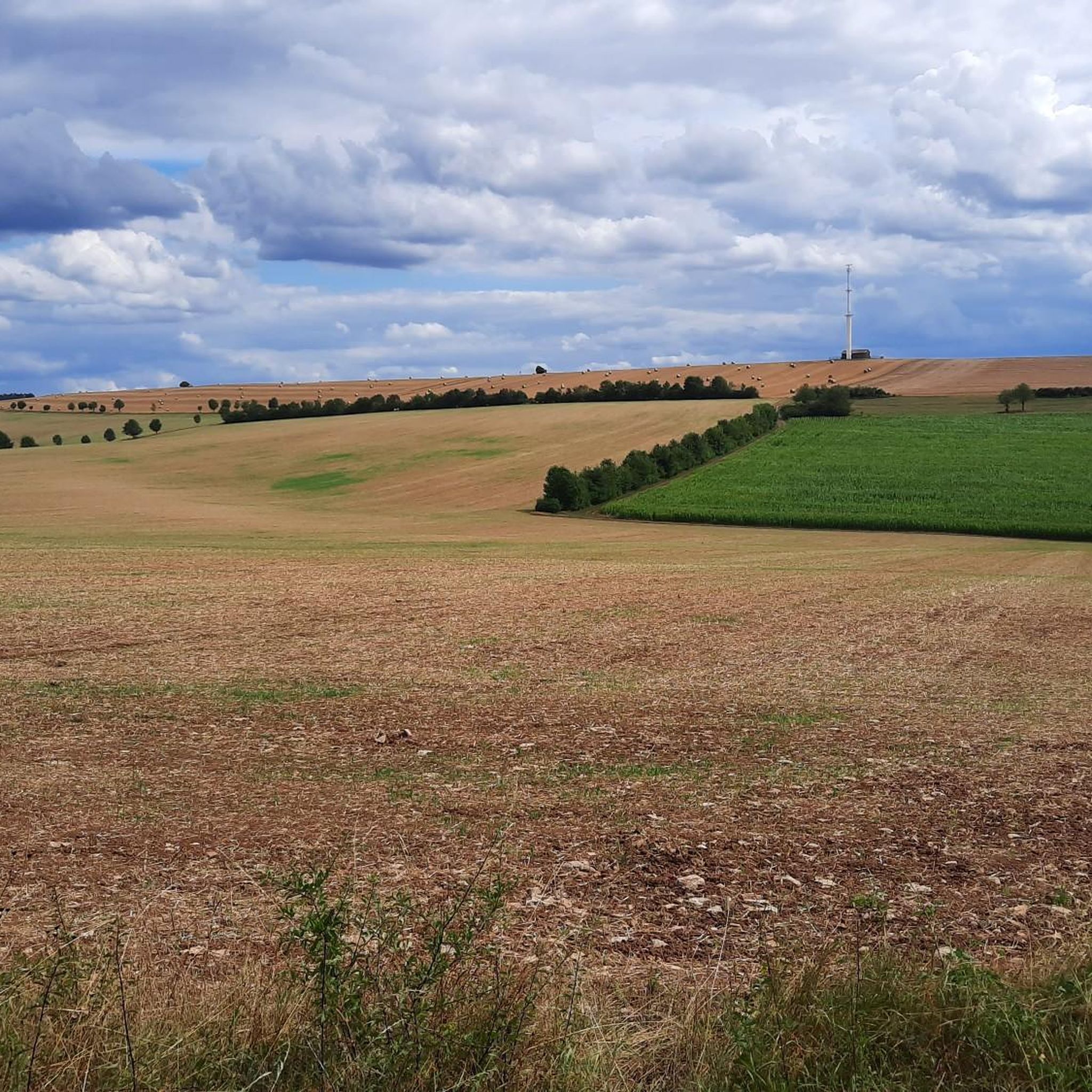
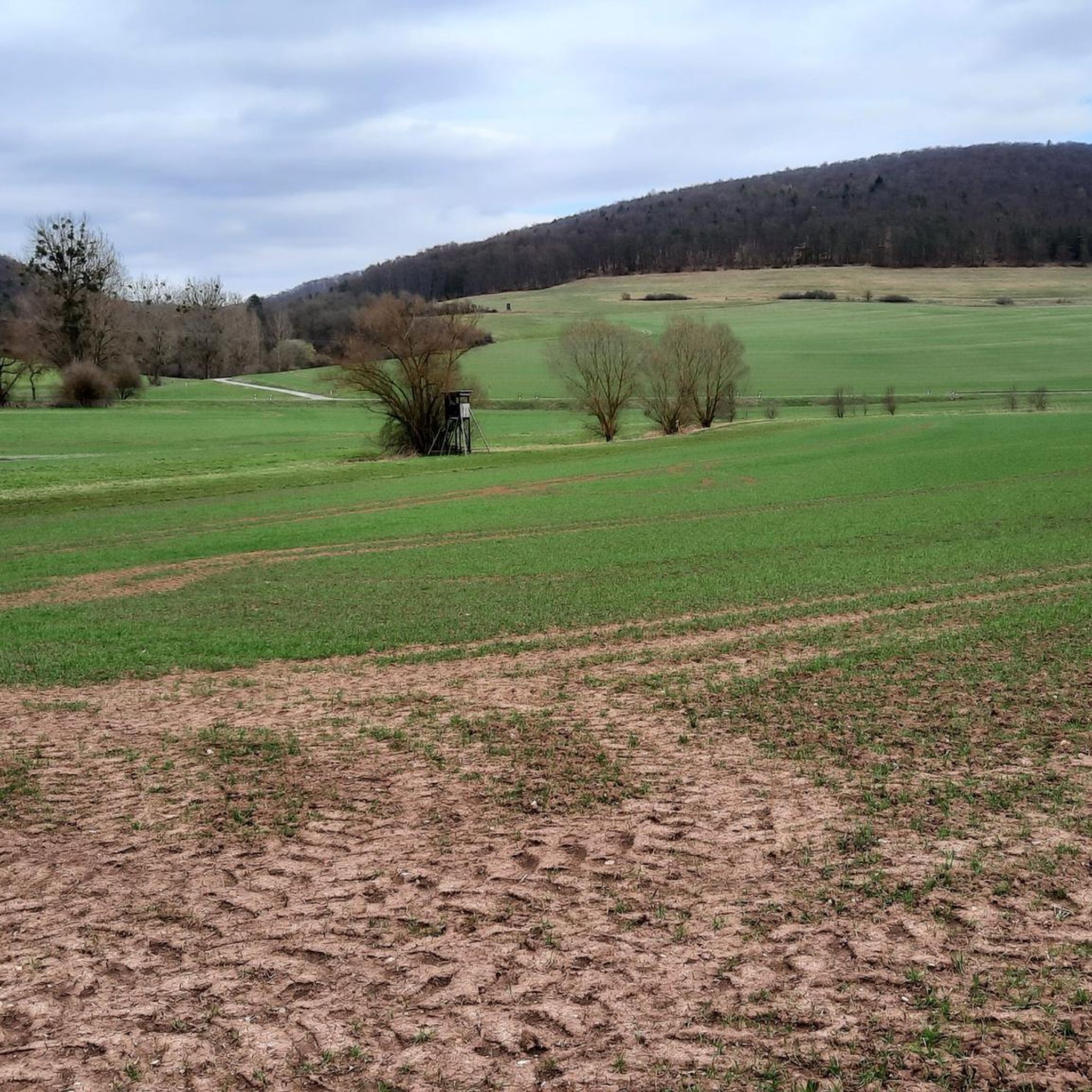
The Thuringian view from the Großer Gleichberg extends mainly to its nearby twin, the Kleiner Gleichberg. In addition, the ridge line of the Thuringian Forest is clearly visible on the horizon.
2
0
With a dominance of almost 20 kilometers and a prominence of almost 300 meters, the Großer Gleichberg is one of the most sublime mountains in Thuringia and for that reason alone it is worth a visit. The surrounding towns are: Zellfeld in the northeast, Roth in the east, Simmershausen and Gleicherwiesen in the southeast, Gleichamberg in the south, Hindfeld and Milz in the southwest, Römhild in the west, and Haina in the northwest
14
1
The climb up to the plateau is strenuous, but the view from above makes up for the effort. You can look towards Franconia (Bavaria) or towards Kleiner Gleichberg (Thuringia). This is where the viewpoints get their name from.
15
1

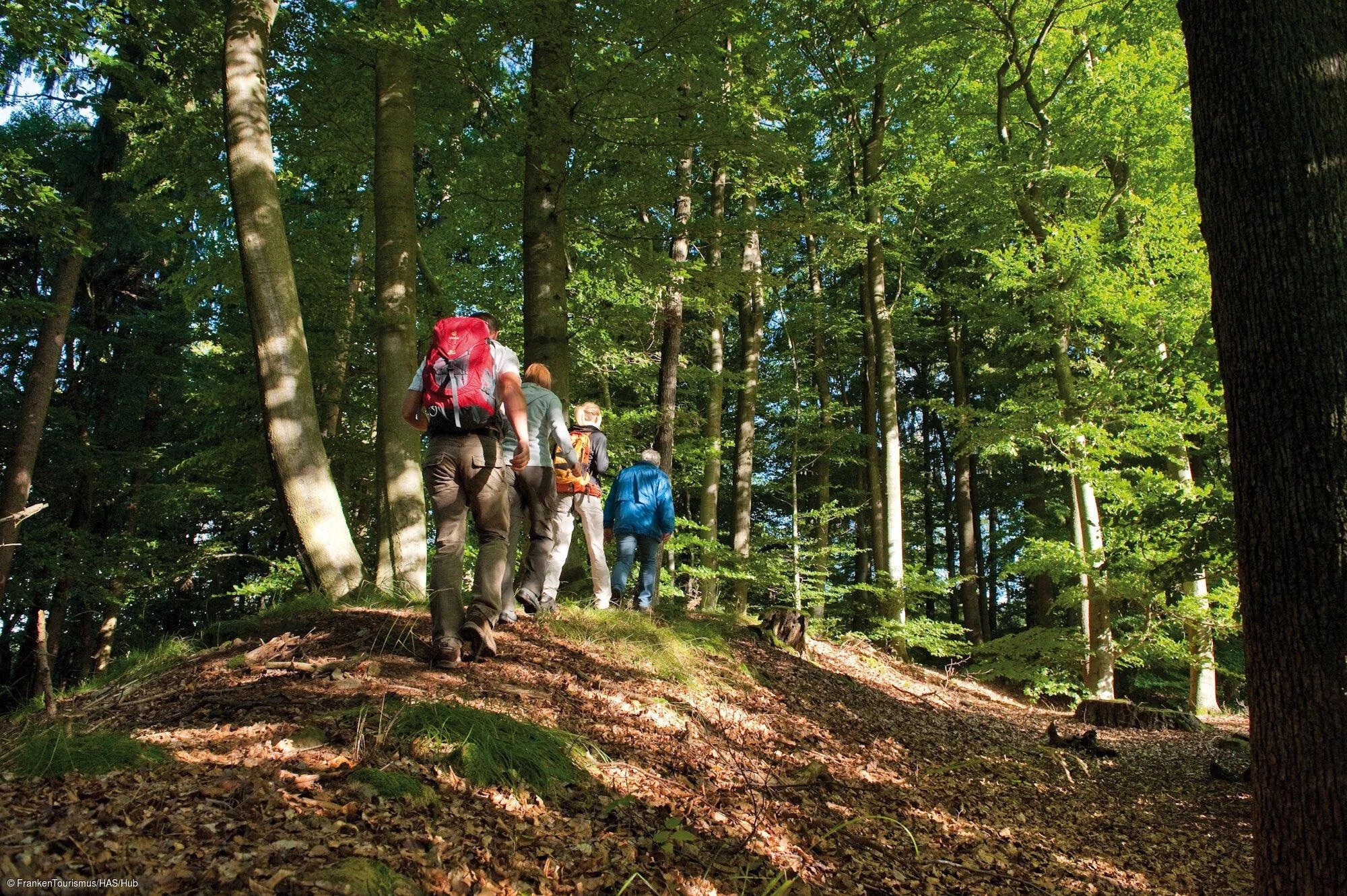
Wonderful forest route over the Hexenberg towards Obermaßfeld Grimmenthal
1
0

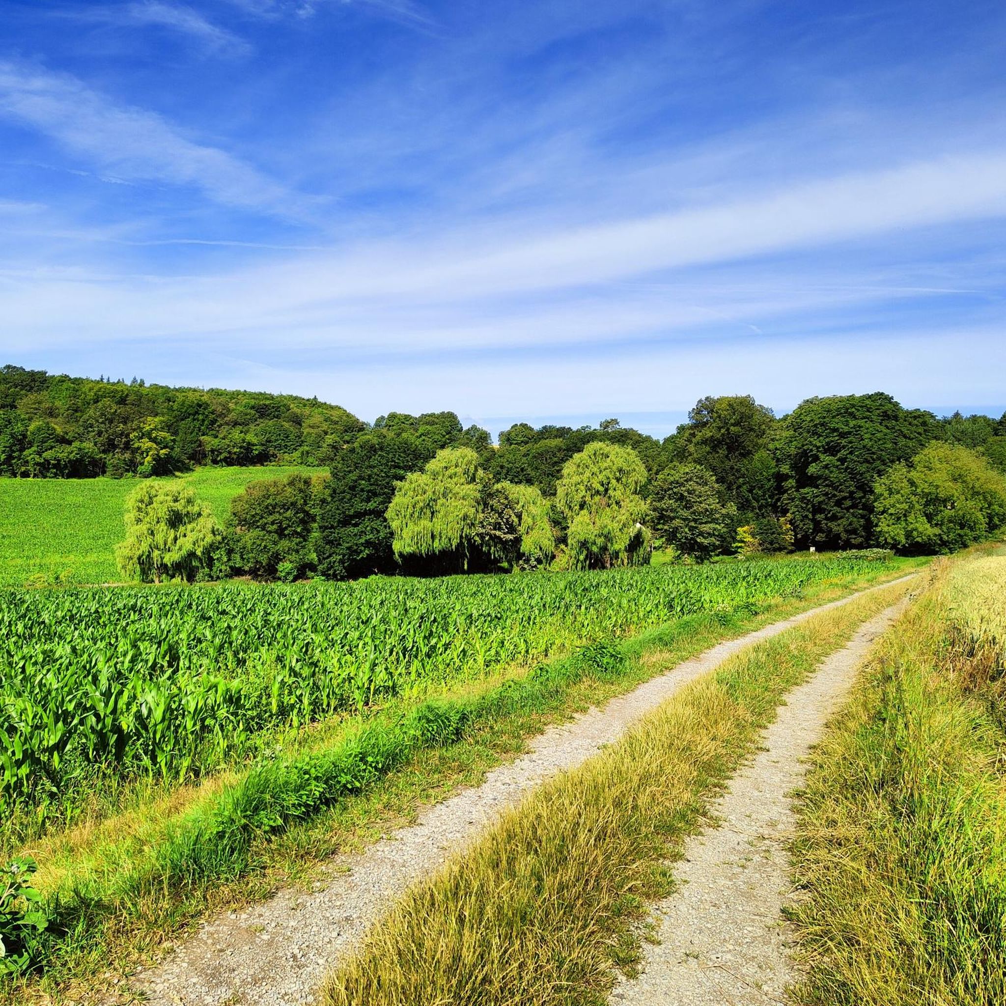
From the summit cross of the Weyershauck you have a great view of the surrounding area. Many rest benches invite you to take a break here.
9
0
The small cross marks the summit of the 679 m high Gleichberg.
10
1

The Weyhershauk is a nature reserve in the Rhön biosphere reserve. On the natural history trail, hikers can get to know the northernmost occurrence of an important dry habitat in Bavaria. It is one of the most valuable areas due to its species-rich equipment with a large variety of animal and plant species.
12
0
Frequently Asked Questions
What are the highest mountain peaks in the broader Grabfeld region?
While the immediate Grabfeld area is gently hilly, the broader Rhön-Grabfeld district, which incorporates parts of the Rhön Mountains, features more prominent peaks. The highest point in the Landkreis Rhön-Grabfeld is Heidelstein at 930 meters, offering extensive views over the Lange Rhön. Another significant peak is Kreuzberg (Rhön) at 928 meters, known for its monastery and panoramic vistas. Other notable peaks include Himmeldunkberg (887.9 m), Hohe Hölle (894 m), Arnsberg (845 m), and Feuerberg (836 m).
Are there any historical sites on the mountain peaks around Grabfeld?
Yes, the region is rich in history. You can explore the Steinsburg Ruins and Views from the Kleiner Gleichberg, which features a Celtic oppidum built with basalt blocks. Another historical peak is the Summit of Großer Gleichberg, which also has historical significance. Additionally, the Hexenberg (478 m) carries local legends related to historical events.
What kind of natural features can I expect to see on the mountain peaks?
The mountain peaks around Grabfeld, especially the Gleichberge, are known for their volcanic basalt cones and unique geological formations. For instance, the Block fields on Kleiner Gleichberg showcase seas of volcanic rock. The Weyhershauk Summit Cross is part of a nature reserve within the Rhön biosphere, offering diverse flora and wide views.
Are there family-friendly mountain peaks or trails in the Grabfeld area?
Yes, several peaks and their surrounding trails are suitable for families. The Weyhershauk Summit Cross is categorized as family-friendly, offering a nature reserve experience. While some ascents can be steep, many trails provide opportunities for enjoyable outings with varying difficulty levels. For specific family-friendly hiking routes, you can check the Hiking around Grabfeld guide.
Where can I find the best viewpoints among the mountain peaks?
Many peaks in the region offer excellent panoramic views. The Steinsburg Ruins and Views from the Kleiner Gleichberg provides views of the surrounding area and the Großer Gleichberg. From the Summit of Großer Gleichberg, you can see towards Franconia and Kleiner Gleichberg. The Weyhershauk Summit Cross also offers wide views, and the Hexenberg (478 m) is another good viewpoint.
What outdoor activities can I do near the mountain peaks around Grabfeld?
Beyond exploring the peaks themselves, the Grabfeld region offers a variety of outdoor activities. You can find numerous hiking trails, with options ranging from easy to moderate, as detailed in the Hiking around Grabfeld guide. For cyclists, there are dedicated routes for road cycling and touring, which you can explore in the Road Cycling Routes around Grabfeld and Cycling around Grabfeld guides.
Are there specific hiking trails near the Gleichberge mountains?
Yes, the Gleichberge, including the Großer and Kleiner Gleichberg, are popular hiking destinations. The climb to the Summit of Großer Gleichberg can be strenuous but rewards with great views. The Steinsburg Ruins and Views from the Kleiner Gleichberg also offers trails through its unique basalt block fields. You can find various routes and their details in the Hiking around Grabfeld guide.
What do visitors enjoy most about the mountain peaks in the Grabfeld region?
Visitors frequently appreciate the stunning panoramic views from the summits, the unique volcanic geology, and the rich historical context, particularly the Celtic sites. The diverse flora in nature reserves like Weyhershauk also receives positive feedback. Many find the combination of natural beauty and cultural heritage to be a compelling draw, with over 300 upvotes and nearly 300 photos shared by the komoot community.
What is the geographic location of the Grabfeld region's mountain peaks?
The Grabfeld region itself is a gently undulating to hilly landscape straddling the border between Bavaria and Thuringia in Germany. However, the more prominent mountain peaks are found within the broader administrative district of Rhön-Grabfeld, which incorporates the eastern parts of the Rhön Mountains. This means the notable peaks are situated within the Bavarian Rhön and the adjacent Thuringian areas.
Can I find circular hiking routes around the Grabfeld mountain peaks?
Yes, the region offers opportunities for circular hikes. For example, the Himmeldunkberg is known for providing various ascent routes and opportunities for interesting circular hikes. The Hiking around Grabfeld guide lists several routes, including those that form loops, allowing you to experience different aspects of the landscape.
Are there any nature reserves associated with the mountain peaks?
Yes, the Weyhershauk Summit Cross is located within a nature reserve in the Rhön biosphere reserve. This area is recognized for its species-rich environment and diverse animal and plant species, making it a valuable ecological site for careful exploration.
Most popular routes around Grabfeld
Most popular attractions around Grabfeld

Get inspired with the komoot mobile app


Explore more
See even more amazing summits around Grabfeld with these guides:
