The best gravel rides in Ilm-Kreis
4.6
(156)
835
riders
130
rides
Gravel biking in Ilm-Kreis offers diverse landscapes characterized by rolling hills and dense forests, situated at the gateway to the Thuringian Forest. The region features an extensive network of well-graded gravel roads and forest paths, providing varied terrain for cycling. The Ilm River flows through the district, contributing to the Ilm Valley cycle path, while reservoirs like Lütsche-Talsperre are integrated into many routes.
Best gravel bike trails in Ilm-Kreis
- The most popular gravel bike trail is View of Jonastal –…
Last updated: October 6, 2026
4.5
(6)
49
riders
53.0km
03:00
480m
480m
Hard gravel ride. Very good fitness required. Mostly paved surfaces. Suitable for all skill levels.
3.7
(7)
25
riders
Hard gravel ride. Very good fitness required. You may need to push your bike for some segments of this route.

5.0
(5)
29
riders
92.8km
06:18
1,580m
1,580m
Hard gravel ride. Very good fitness required. You may need to push your bike for some segments of this route.
5.0
(2)
12
riders
53.2km
03:48
1,020m
1,020m
Hard gravel ride. Very good fitness required. Mostly paved surfaces. Suitable for all skill levels.
4.5
(4)
28
riders
48.8km
02:50
620m
620m
Hard gravel ride. Very good fitness required. Mostly paved surfaces. Suitable for all skill levels.
5.0
(1)
15
riders
21.6km
01:29
480m
480m
Hard gravel ride. Very good fitness required. Mostly paved surfaces. Suitable for all skill levels.
4.6
(5)
15
riders
24.0km
01:37
380m
380m
Moderate gravel ride. Good fitness required. Mostly paved surfaces. Suitable for all skill levels.
5.0
(4)
17
riders
34.0km
02:03
490m
490m
Hard gravel ride. Very good fitness required. Mostly paved surfaces. Suitable for all skill levels.
5.0
(3)
17
riders
Hard gravel ride. Very good fitness required. Mostly paved surfaces. Suitable for all skill levels.
5.0
(8)
34
riders
20.5km
01:25
440m
440m
Moderate gravel ride. Good fitness required. Mostly paved surfaces. Suitable for all skill levels.
Get access to more routes and recommendations from other explorers.
Already have an account?
Our route recommendations are based on thousands of hikes, rides, and runs completed by other people on komoot.
Start today with a free account
Your next adventure awaits.
Popular around Ilm-Kreis

Gravel biking around Gräfenroda

Gravel biking around Frankenhain

Gravel biking around Geschwenda

Gravel biking around Geraberg

Gravel biking around Großbreitenbach
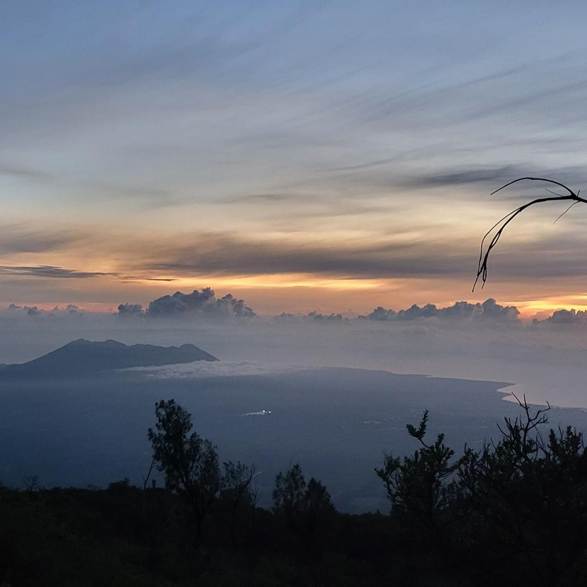
Gravel biking around Dam Lütsche
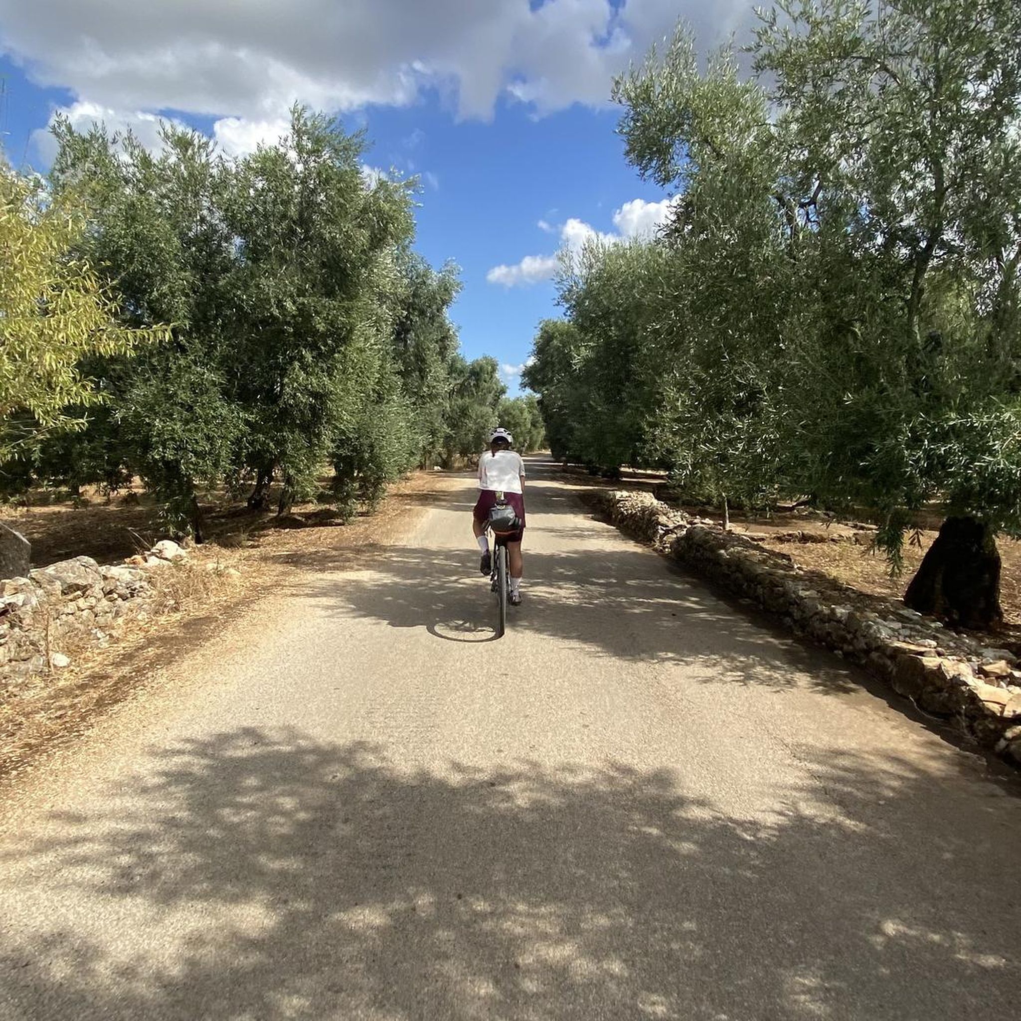
Gravel biking around Elgersburg
Gravel biking in Pennewitzer Teiche - Unteres Wohlrosetal

Gravel biking around Neustadt am Rennsteig
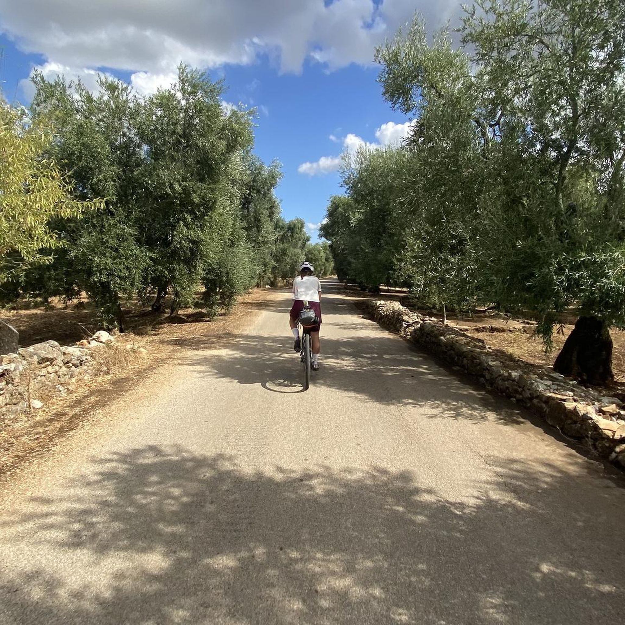
Gravel biking around Plaue
Other adventures in Ilm-Kreis


Tips from the Community

The Große Dreiherrenstein (808 m) is a prominent historical border point and a central junction on the Rennsteig in the Thuringian Forest. The stone marks the historical border between the former lordships of Saxe-Weimar-Eisenach, Schwarzburg-Sondershausen, and Henneberg/Prussia.
4
0

The loop around the Schönbrunn reservoir is about 14 km. There are enough resting places and views to enjoy are included anyway.
0
0

Top location on the Rennsteig: The proximity to the famous ridge trail allows for a combination of forest descents and ridge tours. Varied topography: Steep ascents from the Tannengrund or Reuscheltal demand stamina, but reward with brisk descents. Nature experience: The reservoir, with its bays, is reminiscent of a small fjord landscape in the middle of the dense low mountain forest. Tour combinations: Perfect as a stopover or turning point for larger loops, which often start in Schleusingen or Masserberg.
3
0
The Schönbrunn dam is located in the southern Thuringian Forest in the municipality of Schleusegrund (Hildburghausen district, Thuringia). It was commissioned in 1977. The dam is located about 20 kilometers south of Ilmenau and 15 kilometers northeast of Schleusingen. The river Schleuse is dammed. Source: https://de.wikipedia.org/wiki/Talsperre_Sch%C3%B6nbrunn#:~:text=Die%20Talsperre%20Sch%C3%B6nbrunn%20liegt%20im,Gestaut%20wird%20der%20Fluss%20Schleuse.
3
0
The Schönbrunn dam in the Thuringian Forest is attractive for mountain biking due to its charming combination of idyllic, flat shore paths and challenging, hilly ascents in the surrounding mountainous terrain around the Rennsteig. The circuit offers constant views of the blue water of the reservoir and the forest-rich heights of the Thuringian Forest.
3
0

Relaxing for young and old and a joy for children
0
0

Unfortunately, it is not open to the public except during events.
0
0

A good place to rest ...
12
0
Frequently Asked Questions
How many gravel bike trails are available in Ilm-Kreis?
Ilm-Kreis offers a wide selection of gravel biking opportunities, with over 160 routes available on komoot. These trails cater to various skill levels, from moderate paths to challenging climbs within the Thuringian Forest.
What are the typical difficulty levels for gravel biking in Ilm-Kreis?
The gravel routes in Ilm-Kreis range from moderate to difficult. You'll find a good mix, with around 69 moderate trails and 81 difficult ones, often featuring significant elevation changes and varied terrain through rolling hills and dense forests.
What kind of landscapes can I expect to see on gravel bike trails in Ilm-Kreis?
Gravel biking in Ilm-Kreis takes you through diverse landscapes characterized by rolling hills and dense forests, situated at the gateway to the Thuringian Forest. You'll encounter extensive forested areas, the scenic Ilm Valley, and pass by reservoirs like the Lütsche-Talsperre and Ohra Reservoir. Many routes offer magnificent views from elevated points like the Schneekopf.
Are there any family-friendly gravel bike routes in Ilm-Kreis?
While many routes in Ilm-Kreis feature challenging terrain, some sections of the Ilm Valley cycle path offer flatter, well-graded paths that can be suitable for families. For specific family-friendly options, look for routes categorized as 'easy' or 'moderate' on komoot, which typically have less elevation gain and smoother surfaces.
What are some notable landmarks or attractions along the gravel trails?
Many gravel routes in Ilm-Kreis pass by or offer views of interesting landmarks. You might encounter historical sites like the Goethe Cabin on Kickelhahn or the Kickelhahn Tower, offering panoramic views. Natural features include various waterfalls such as Helms Waterfall and Fallborn Waterfall, providing scenic stops along your ride.
Are there any circular gravel bike routes in Ilm-Kreis?
Yes, many gravel routes in Ilm-Kreis are designed as loops, allowing you to start and end at the same point. An example is the View of the Ilmgrund – Langewiesen Viaduct loop from Hohes Kreuz, which offers a moderate ride through varied terrain. Another is the Schönbrunn Reservoir loop from Frauenwald, a more difficult option around the reservoir.
What is the best time of year for gravel biking in Ilm-Kreis?
The best time for gravel biking in Ilm-Kreis is generally from spring to autumn, when the weather is milder and the trails are dry. The region's dense forests offer pleasant shade in summer, while spring and autumn provide vibrant foliage. Winter riding is possible but requires appropriate gear due to potential snow and ice, especially at higher elevations in the Thuringian Forest.
What do other gravel bikers enjoy most about gravel biking in Ilm-Kreis?
The komoot community highly rates gravel biking in Ilm-Kreis, with an average score of 4.5 stars from over 200 reviews. Riders often praise the region's diverse terrain, the extensive network of well-graded gravel roads and forest paths, and the stunning views from elevated points like the Schneekopf and Hohe Warte.
Are there any longer gravel routes for experienced riders?
Experienced gravel bikers looking for longer challenges will find several options. The Ilmtal Cycle Path – Gera Cycle Path near Arnstadt loop from Ilmenau is a difficult 84-mile (135 km) route. Another demanding option is the Grenzadler Biathlon Arena – Ebertswiese Mountain Meadow loop from Gehlberg, spanning over 57 miles (92 km) with significant elevation gain.
Where can I find refreshments or places to rest along the trails?
While specific cafes and pubs vary by route, the region does offer options for refreshment. For example, the Neue Gehlberger Hütte on Schneekopf is a serviced hut located at a high elevation, providing a welcome stop for riders. Many towns and villages along the routes also offer dining opportunities.
Are there any routes that offer significant climbs and rewarding views?
Absolutely. Ilm-Kreis is known for its 'Thuringian gravel summit moments.' Routes like the Plänckner's Viewpoint – Highest Point of the Rennsteig loop from Ilmenau Pörlitzer Höhe offer over 1000 meters of elevation gain, leading to scenic viewpoints. The region's topography, including peaks like the Schneekopf, ensures plenty of challenging ascents with magnificent vistas.
Can I combine gravel biking with cultural or historical exploration?
Yes, Ilm-Kreis has a rich cultural and historical heritage that can be explored alongside your gravel rides. The View of Jonastal – Ehrenstein Castle loop from Arnstadt Hbf, for instance, leads through varied terrain with views of historical landmarks. You can also find connections to historical figures like Goethe and Bach in towns like Ilmenau and Arnstadt.
Most popular routes in Ilm-Kreis
Most popular attractions in Ilm-Kreis

Get inspired with the komoot mobile app


Didn’t find what you were looking for?
Check out more Gravel rides throughout Ilm-Kreis below and find the perfect route in your destination.
Explore more
Browse the best Gravel rides in other regions.
