The best gravel rides around Udligenswil
4.5
(215)
1,278
riders
57
rides
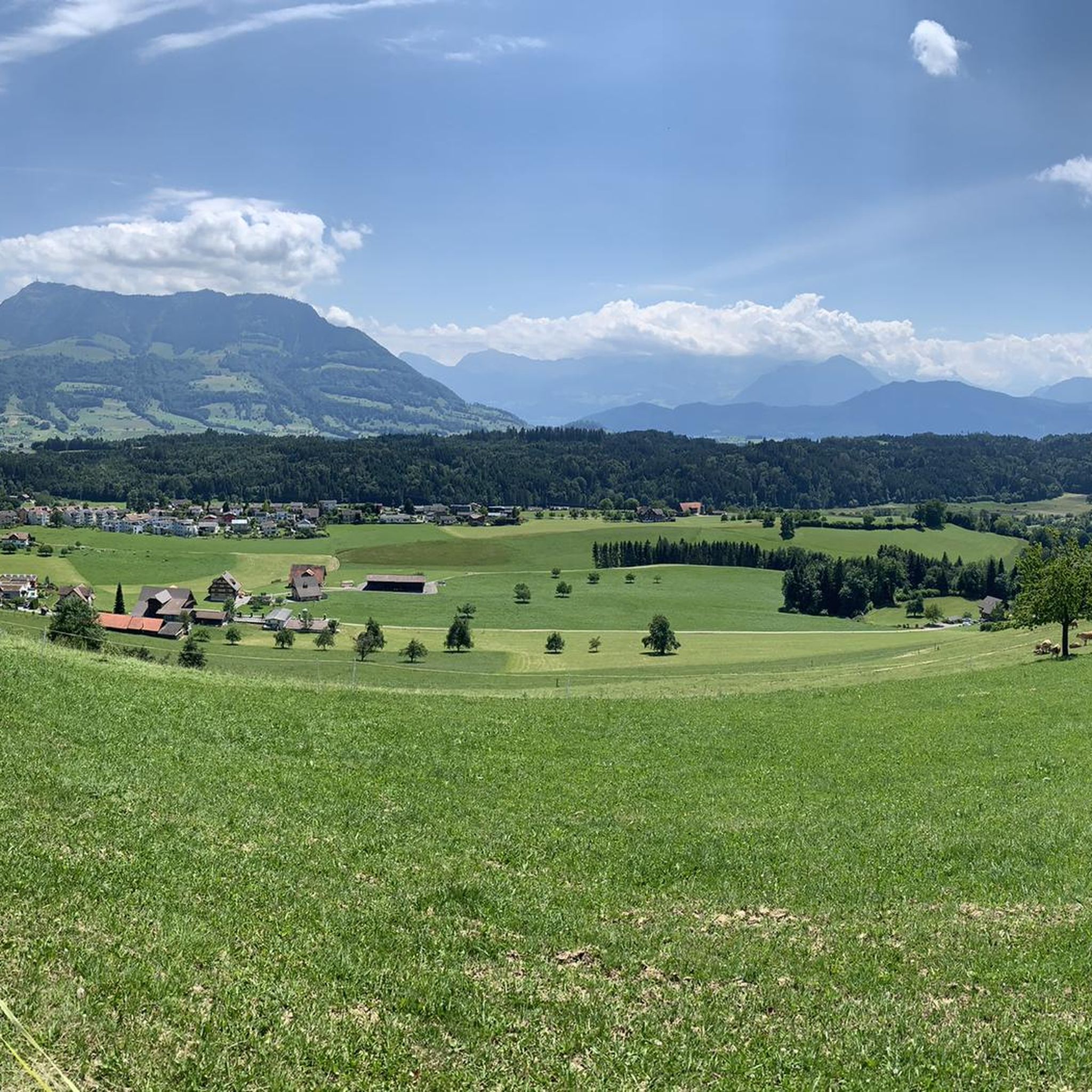
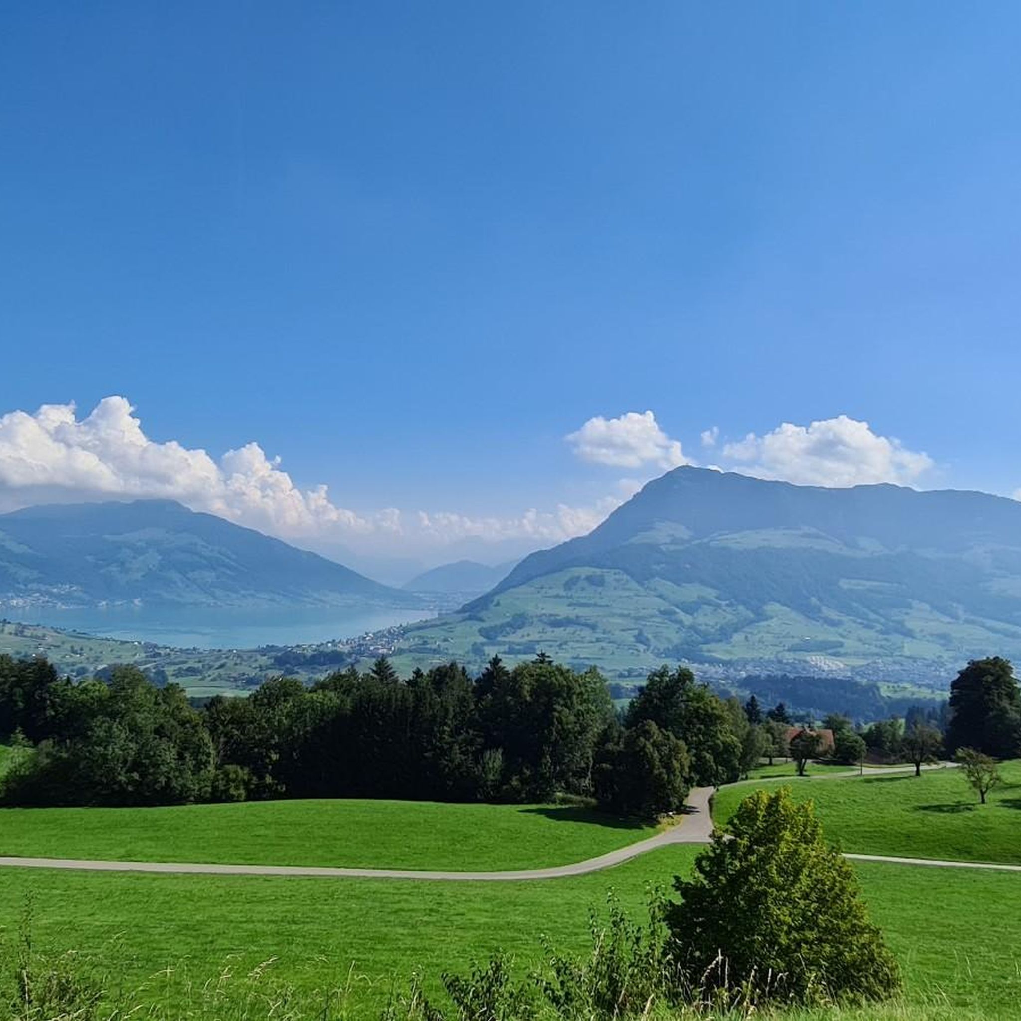
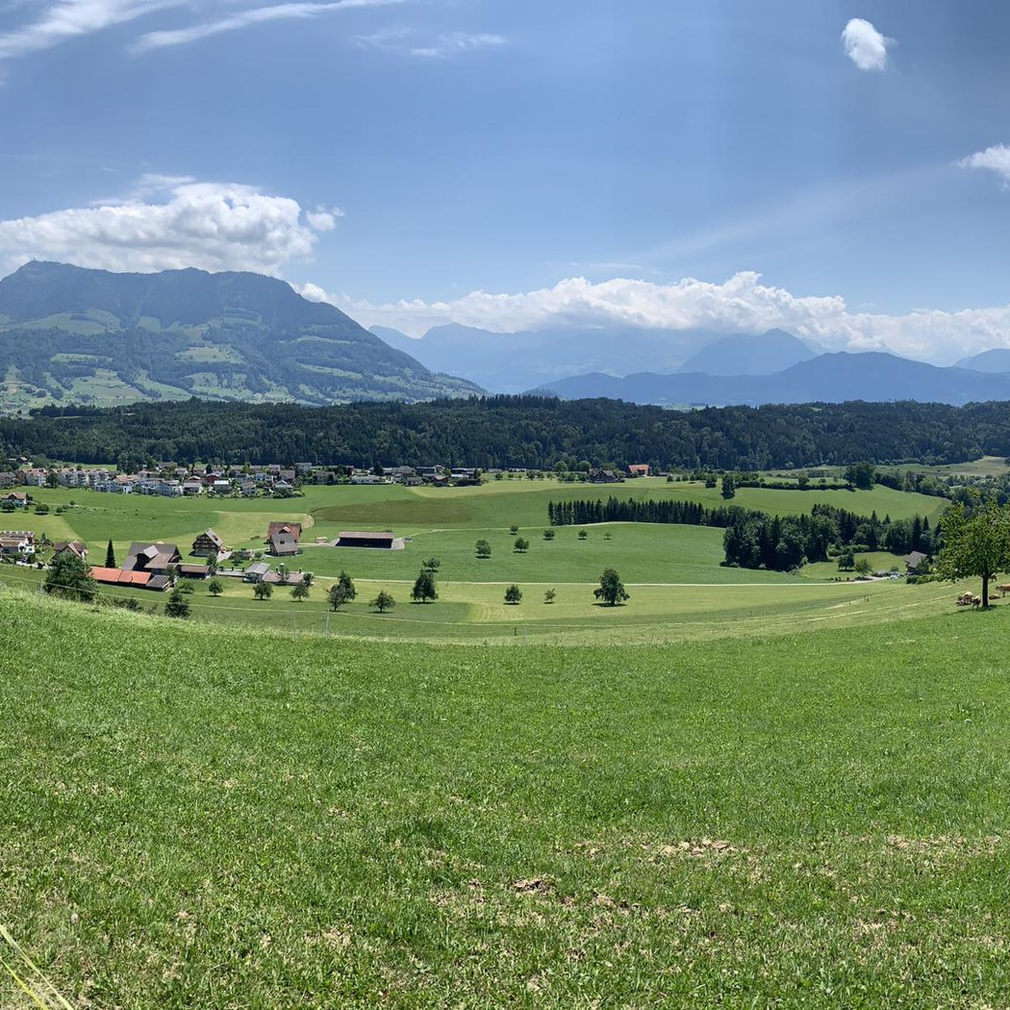
Gravel bike trails around Udligenswil traverse a diverse landscape characterized by rolling hills, dense forested areas, and proximity to Lake Lucerne. The region offers varied terrain suitable for gravel biking, with routes that include both paved and unpaved segments. Views of Mount Rigi are often present along the trails, adding to the scenic appeal. This area provides a network of routes for different skill levels, from moderate rides to more challenging ascents.
Best gravel bike trails around Udligenswil
- The most…
Last updated: October 13, 2026
4.4
(38)
139
riders
41.3km
03:22
560m
560m
Hard gravel ride. Very good fitness required. You may need to push your bike for some segments of this route.
4.5
(21)
83
riders
53.1km
03:07
420m
420m
Moderate gravel ride. Good fitness required. Mostly paved surfaces. Suitable for all skill levels.

5.0
(3)
36
riders
64.6km
04:34
1,320m
1,320m
Hard gravel ride. Very good fitness required. You may need to push your bike for some segments of this route.
5.0
(6)
31
riders
22.8km
01:25
330m
340m
Moderate gravel ride. Good fitness required. Mostly paved surfaces. Suitable for all skill levels.
17
riders
24.4km
01:21
90m
90m
Easy gravel ride. Great for any fitness level. Mostly paved surfaces. Suitable for all skill levels.
Get access to more routes and recommendations from other explorers.
Already have an account?
Our route recommendations are based on thousands of hikes, rides, and runs completed by other people on komoot.
Start today with a free account
Your next adventure awaits.
Tips from the Community

For those who haven't been there yet, it's worth a visit!
0
0

A must for any visit to Lucerne.
0
0
Here you have a great view of the lake.
0
0

Attention, in Böschenroth (northwest of here) there is a strict judicial ban on cycling in this direction!
1
0

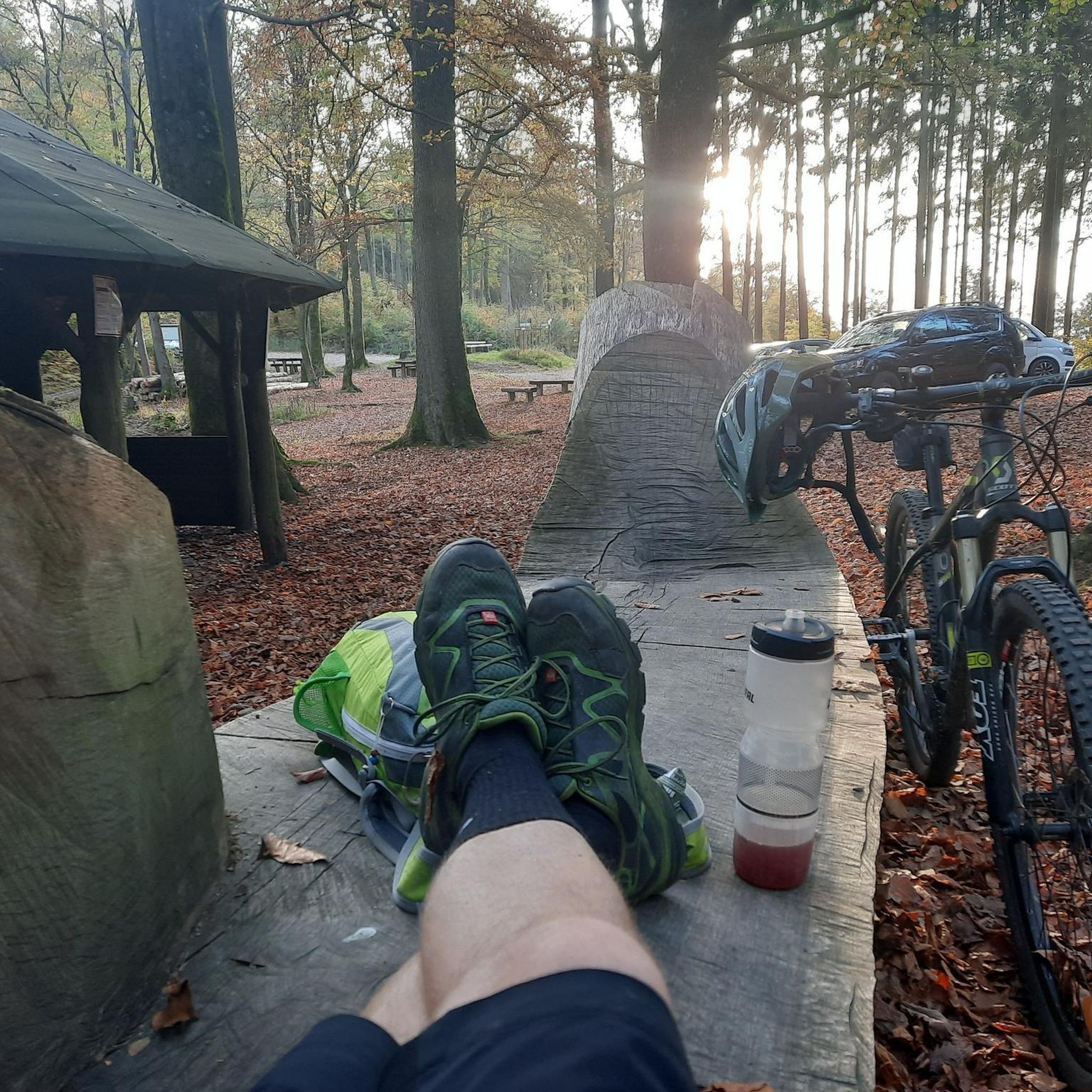
The pond is a very idyllic place where you can linger. There is also a fire pit that invites you to barbecue. As the Almig is not unknown, you often meet other hikers or bikers.
0
0

No asphalt for road cyclists, but good to ride on
0
0


Especially at sunset 🌅 or in the evening, when the bridge is illuminated, it looks magical and invites you to linger.
0
0
Frequently Asked Questions
How many gravel bike trails are available around Udligenswil?
Udligenswil offers a wide selection of gravel biking opportunities, with over 120 routes available. These range from moderate to difficult, catering to various skill levels.
What is the best time of year for gravel biking in Udligenswil?
The region is generally pleasant for gravel biking from spring through autumn. While specific weather conditions can vary, these seasons typically offer the most favorable temperatures and trail conditions. Winter conditions can introduce snow and ice, making some trails more challenging.
What kind of terrain can I expect on Udligenswil's gravel trails?
Gravel trails around Udligenswil feature a diverse landscape of rolling hills, dense forested areas, and open sections with views of Lake Lucerne and Mount Rigi. You'll encounter a mix of paved and unpaved segments, with routes offering both challenging ascents and more relaxed stretches.
Are there any family-friendly gravel biking routes in Udligenswil?
While many routes involve significant elevation changes, some trails are more suitable for families. For example, the Wagenmoos Pond – View of Lake Lucerne loop from Adligenswil is a moderate 22.9 km path that features scenic views and passes by Wagenmoos Pond, which has a barbecue area, making it a pleasant stop.
What are some notable landmarks or viewpoints along the gravel routes?
Many routes offer stunning views of Lake Lucerne and Mount Rigi. Specific highlights you might encounter include the Rigi Kulm summit (visible from many points), the serene Wagenmoos pond, and the Michaelskreuz Chapel on the Rooterberg. The View of the Reuss and Root – Michaelskreuz Pass Summit loop from Root D4 specifically leads towards the Michaelskreuz Pass.
Are there any circular gravel bike routes available?
Yes, many of the gravel routes in Udligenswil are designed as loops. For instance, the popular Sempach City Gate – Luzerner Gate, Sempach loop from Buchrain is a 53.3 km circular trail, and the Wagenmoos Pond – View of Lake Lucerne loop from Adligenswil is a moderate 22.9 km loop.
What do other gravel bikers appreciate most about Udligenswil?
The komoot community highly rates the gravel biking experience in Udligenswil, with an average score of 4.5 stars from over 350 reviews. Riders often praise the diverse terrain, the stunning views of Lake Lucerne and Mount Rigi, and the well-maintained network of trails that offer options for all ability levels.
Can I find challenging gravel bike routes with significant elevation gain?
Absolutely. Udligenswil is known for its rolling hills and offers several challenging routes with considerable ascents. For example, the Gravel path along the Reuss – Top panorama loop from Küssnacht am Rigi is a difficult 75.7 km route with nearly 1000 meters of elevation gain, providing a demanding ride and panoramic views.
Are there options for parking near the gravel trails?
While specific parking areas for each trail vary, Udligenswil and its surrounding municipalities like Adligenswil and Root D4, which serve as starting points for many routes, generally offer public parking facilities. It's advisable to check local parking options for your chosen starting point.
How accessible are the gravel trails by public transport?
Udligenswil and nearby towns are well-connected by public transport, making it feasible to access many gravel trails without a car. You can often reach starting points like Buchrain, Adligenswil, or Root D4 via bus or train, allowing for convenient access to the trail network.
Are there any places to stop for food or drinks along the routes?
Yes, the region offers various spots for refreshments. You might find cafes or restaurants in the villages you pass through. Additionally, some routes lead near or past mountain huts like Räb Alpine Inn or Restaurant Pfaffenboden, which are popular stops for cyclists.
Are dogs allowed on the gravel biking routes?
Generally, dogs are welcome on trails in Switzerland, provided they are kept on a leash, especially in forested areas, near livestock, or in nature reserves. Always ensure your dog is well-behaved and that you clean up after them to respect other trail users and wildlife.
Most popular routes around Udligenswil
Most popular attractions around Udligenswil

Get inspired with the komoot mobile app


Explore more
Browse the best Gravel rides in other regions.
