The best gravel rides around Glarus Süd
4.5
(119)
1,173
riders
27
rides
Gravel biking around Glarus Süd offers diverse terrain, from valley floors alongside the Linth Canal to challenging ascents towards mountain passes. The region is characterized by alpine valleys, prominent lakes like Obersee and Klöntalersee, and a network of gravel paths. Riders can expect varied landscapes, including forested sections, open pastures, and routes with significant elevation gain. The area is also home to the UNESCO World Heritage Swiss Tectonic Arena Sardona, providing unique geological formations.
Best gravel bike trails around Glarus…
Last updated: October 6, 2026
4.3
(6)
70
riders
60.6km
04:31
1,440m
1,440m
Hard gravel ride. Very good fitness required. Mostly paved surfaces. Suitable for all skill levels.
4.9
(7)
95
riders
54.1km
03:03
650m
650m
Hard gravel ride. Very good fitness required. Mostly paved surfaces. Suitable for all skill levels.

4.5
(2)
27
riders
Hard gravel ride. Very good fitness required. You may need to push your bike for some segments of this route.
4.4
(8)
67
riders
54.3km
04:17
1,420m
1,420m
Hard gravel ride. Very good fitness required. Mostly paved surfaces. Suitable for all skill levels.
4.0
(3)
34
riders
68.0km
03:33
380m
380m
Moderate gravel ride. Good fitness required. Mostly paved surfaces. Suitable for all skill levels.
Get access to more routes and recommendations from other explorers.
Already have an account?
Our route recommendations are based on thousands of hikes, rides, and runs completed by other people on komoot.
Start today with a free account
Your next adventure awaits.
Popular around Glarus Süd

Sardona World Heritage Trail – Where the Alps once formed
Via Alpina – The 15 stages of the Green Route
Hiking in the Swiss Tectonic Arena Sardona – Segnes Trek

The most beautiful waterfalls of the Alps
Hiking around Glarus Süd
Road Cycling Routes around Glarus Süd
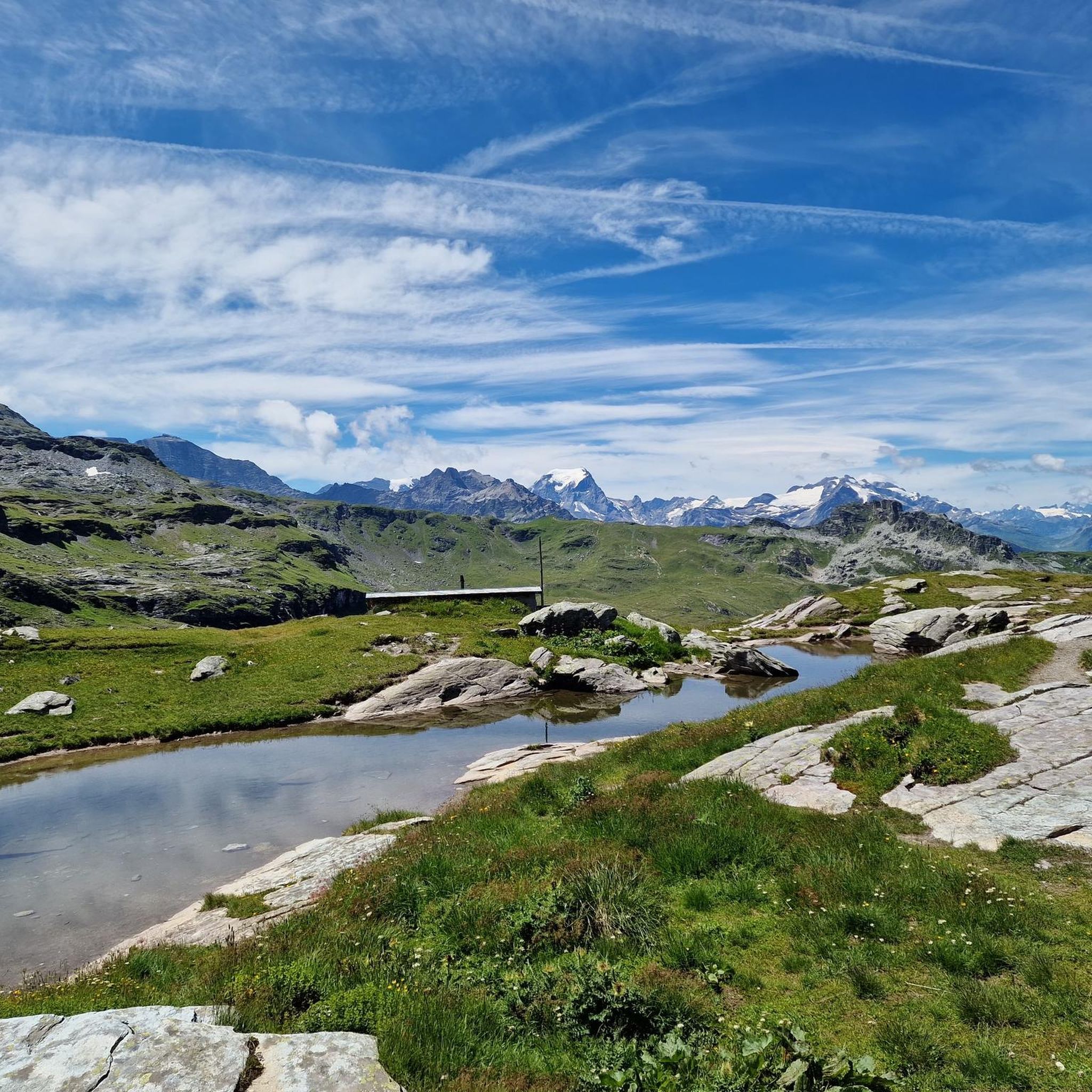
MTB Trails around Glarus Süd
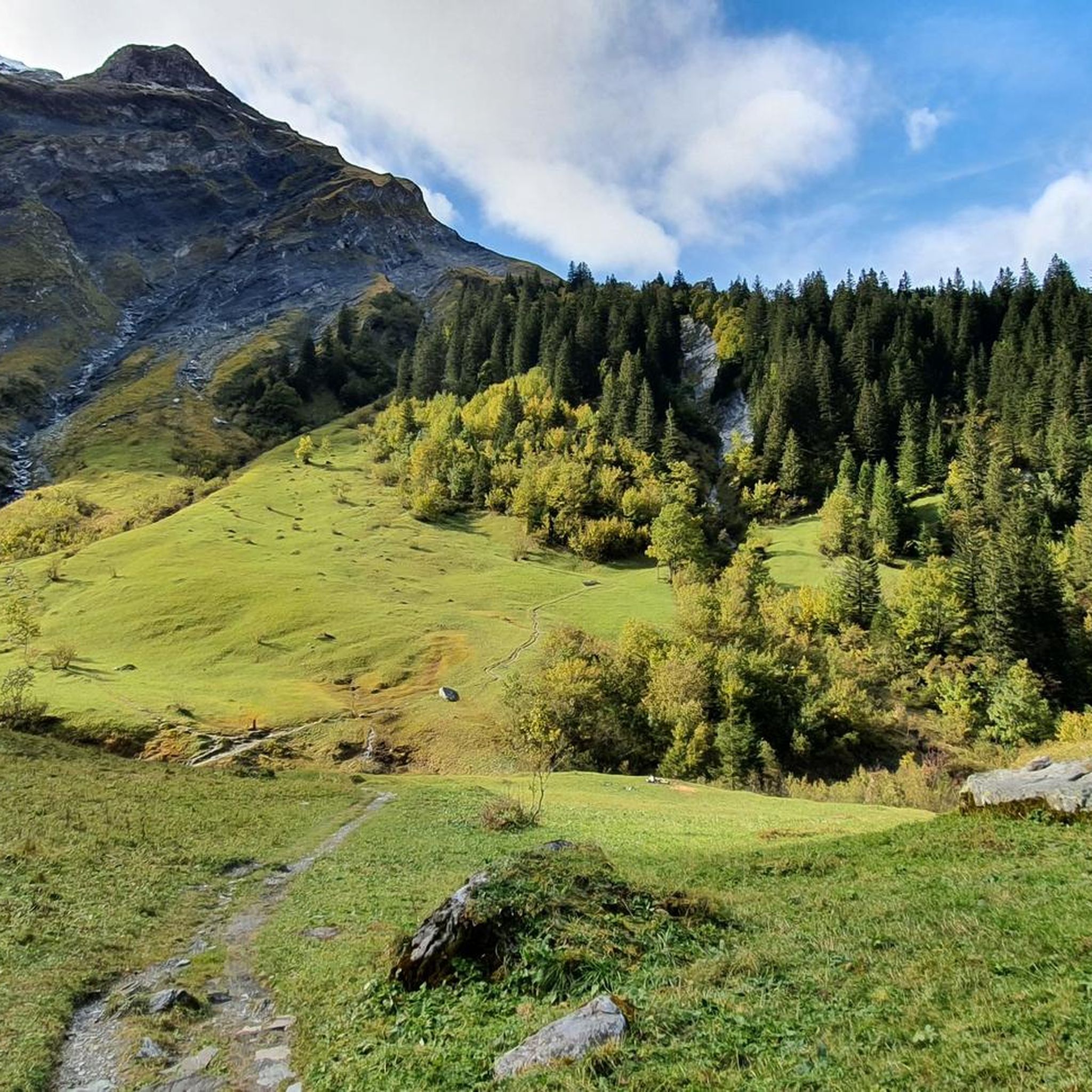
Cycling around Glarus Süd
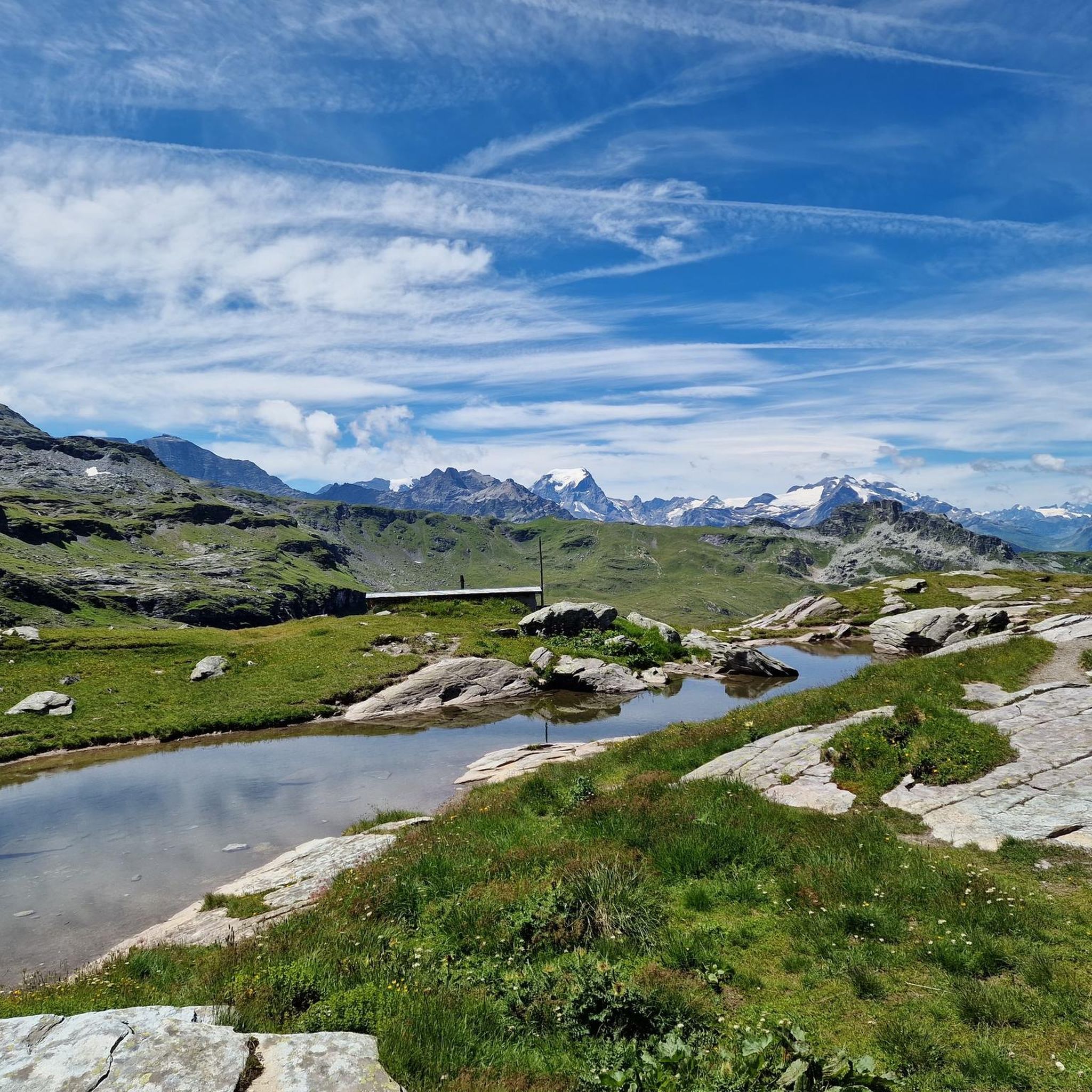
Running Trails around Glarus Süd
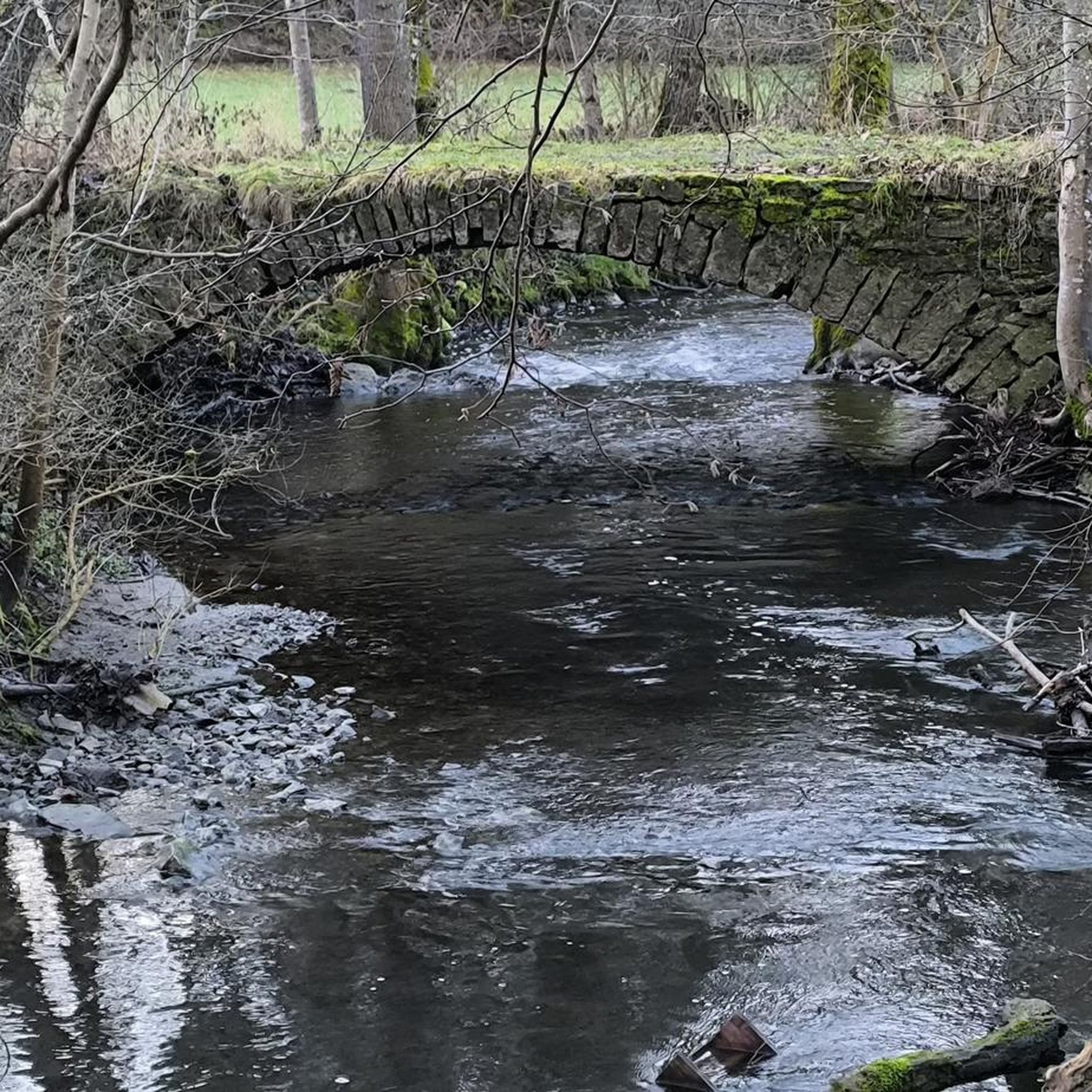
Mountain Hikes around Glarus Süd
Other adventures around Glarus Süd


Tips from the Community

From the east, the tunnel entrance can be clearly identified as an old railway tunnel. Initially, the tunnel is indeed large. In the middle, however, it becomes quite small, and the further tunnel was only created for slow traffic. The former railway line was moved in 1960 because a main road was built along the shore of Walensee. Today, this part is the northern section of the motorway to Zurich.
1
0
From the east, the tunnel entrance can clearly be identified as an old railway tunnel. Initially, the tunnel is indeed large. In the middle, however, it becomes quite small and the further tunnel was only created for slow traffic. The former railway line was moved in 1960 because a main road was built on the shore of the Walensee. Today, this part is the northern section of the motorway to Zurich.
1
0

Beautiful cycle path along the Walensee
0
0


the fastest and most beautiful way from Weesen to Kerenzerberg / Mollis
1
0

Well-maintained cycle path along the southern shore of the lake, not always full width for e.g. crossing cyclists with trailers. The path was also relatively well visible at night (with a bike light, of course), and lit in many sections. Unpaved sections between the ascents Geisterraststätte and Mühlehorn, as well as at the Linth estuary. Otherwise very impressive with the surrounding mountains.
0
0
Well-maintained cycle path along the southern shore of the lake, not always full width for e.g. crossing bikes with trailers. The path was relatively well visible at night too (with bike light, of course), and in many sections also illuminated. Unpaved sections between the ascents Geisterraststätte and Mühlehorn, as well as at the Linth estuary. Otherwise very impressive with the surrounding mountains.
0
0

Very nicely located restaurant, reachable from Mollis via a tarred road, from Glarus first on tar, then on a steep trail/hiking path (with a small via ferrata) reachable.
0
0
Frequently Asked Questions
How many gravel bike trails are available in Glarus Süd?
Glarus Süd offers a diverse network of over 35 gravel bike trails. These routes cater to various skill levels, from easier valley rides to challenging alpine ascents.
What kind of terrain can I expect on gravel bike trails in Glarus Süd?
You can expect a wide variety of terrain, from flat valley floors alongside the Linth Canal to challenging ascents towards mountain passes. The region features prominent lakes like Obersee and Klöntalersee, forested sections, open pastures, and routes with significant elevation gain, all on a network of gravel paths.
Are there easy gravel bike routes suitable for beginners in Glarus Süd?
Yes, Glarus Süd has options for beginners. There are 2 easy routes and 8 moderate routes. A good starting point is the Shore of Lake Obersee – Linth Canal loop from Glarus, which offers a moderate ride with a mix of lakeside and canal paths.
Where can I find challenging gravel bike routes with significant climbs in Glarus Süd?
For those seeking a challenge, Glarus Süd offers 28 difficult routes with substantial elevation gain. The Klöntalersee – Klöntal Lakeside Road loop from Schwändi is a difficult 52.8 km path featuring significant elevation gain and scenic views around Klöntalersee.
Are there any long-distance gravel bike routes in Glarus Süd?
Yes, several routes offer longer distances. The Vorder Höhi Pass (1536 m) – View of Lake Walen loop from Glarus is a substantial 88.8 km trail leading through alpine terrain, typically taking around 6 hours 53 minutes to complete.
What are some scenic viewpoints or attractions along the gravel bike trails in Glarus Süd?
Many routes offer stunning views, especially around the prominent lakes like Obersee and Klöntalersee. You can also explore nearby mountain passes such as the Pragel Pass or the Richetli Pass, which are popular highlights in the region.
Are there any family-friendly gravel biking options in Glarus Süd?
For families, routes along the valley floor or around the lakes tend to be more suitable. Consider the easier sections of the Linth Canal – Linth Canal loop from Glarus, which offers a relatively flat and accessible ride.
What is the best season for gravel biking in Glarus Süd?
The best season for gravel biking in Glarus Süd is typically from late spring to early autumn (May to October). During these months, mountain passes are generally clear of snow, and the weather is more stable, offering ideal conditions for exploring both valley and alpine routes.
Are there any gravel bike trails that are loop routes in Glarus Süd?
Many of the gravel bike trails in Glarus Süd are designed as loops, allowing you to start and finish at the same point. Examples include the Shore of Lake Obersee – Linth Canal loop from Glarus and the Sool Village – Höfliegg Trail loop from Ennenda.
What do other gravel bikers enjoy most about gravel biking in Glarus Süd?
The komoot community highly rates the gravel biking experience in Glarus Süd, with an average score of 4.8 stars from over 80 reviews. Riders often praise the varied landscapes, from serene lakeside paths to challenging alpine climbs, and the well-maintained network of gravel paths that allow for diverse adventures.
Can I access gravel bike trails in Glarus Süd using public transport?
Many starting points for gravel bike trails in Glarus Süd are accessible by public transport, particularly in larger towns like Glarus or Schwändi. Swiss public transport is generally bike-friendly, though it's advisable to check specific train or bus schedules and bike transport regulations beforehand.
Are there options for gravel biking in Glarus Süd during winter?
While some lower-elevation valley routes might be rideable in winter, many higher alpine trails and mountain passes in Glarus Süd will be covered in snow and inaccessible. Winter gravel biking is generally limited and requires careful planning and checking local conditions for snow and ice.
Most popular routes around Glarus Süd
Most popular attractions around Glarus Süd

Get inspired with the komoot mobile app


Explore more
Browse the best Gravel rides in other regions.
